
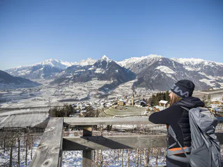
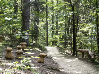
La Ferata – The old railway line featuring Bronze Sculptures and Snow Depths - Winter
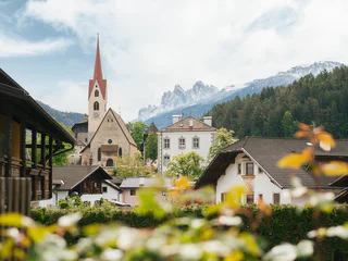
Selva/Sëlva/Wolkenstein/Sëlva, Urtijëi/Ortisei, Dolomites Region Val Gardena
easy
Difficulty
61 m
Elevation gain
2h:31 min
duration
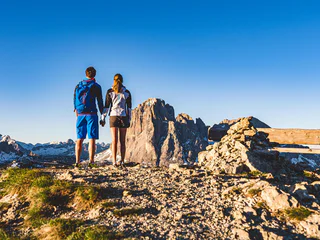
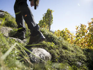
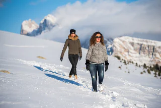
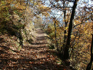
The sun is out, you’re fully packed – now where do you want to go? The peaks, pinnacles and towers of the Dolomites gleam invitingly in the morning light. Are they even more beautiful from the summit? The valleys are criss-crossed with trails through vineyards and apple orchards, past imposing castles, around enchanting lakes and along the Waalweg canal trails. South Tyrol has more than 16,000 km of signposted hiking trails that run through the ever-changing natural landscape, including themed trails, multi-day tours and high-Alpine trails.
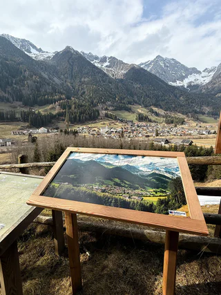
Selva/Sëlva/Wolkenstein/Sëlva, Urtijëi/Ortisei, Dolomites Region Val Gardena
easy
Difficulty
61 m
Elevation gain
2h:31 min
duration
1/4
Scena/Schenna, Schenna/Scena, Meran/Merano and environs
easy
Difficulty
320 m
Elevation gain
2h:00 min
duration
Monteponente/Pfeffersberg, Brixen/Bressanone, Brixen/Bressanone and environs
easy
Difficulty
280 m
Elevation gain
2h:00 min
duration
1/5
Niederrasen/Rasun di Sotto, Rasen-Antholz/Rasun Anterselva, Dolomites Region Kronplatz/Plan de Corones
easy
Difficulty
108 m
Elevation gain
0h:25 min
duration
1/13
S.Cristina Gherdëina/S.Cristina Val Gardena/S.Cristina Gherdëina/St.Christina in Gröden, S.Crestina Gherdëina/Santa Cristina Val Gardana, Dolomites Region Val Gardena
difficult
Difficulty
303 m
Elevation gain
2h:00 min
duration
1/2
Novacella/Neustift, Vahrn/Varna, Brixen/Bressanone and environs
easy
Difficulty
215 m
Elevation gain
1h:46 min
duration
S. Martino al Monte/St. Martin - Laces/Latsch, Latsch/Laces, Vinschgau/Val Venosta
medium
Difficulty
708 m
Elevation gain
3h:32 min
duration
Piavenna/Plawenn, Graun im Vinschgau/Curon Venosta, Vinschgau/Val Venosta
medium
Difficulty
1010 m
Elevation gain
5h:42 min
duration
Braies di Fuori/Ausserprags, Prags/Braies, Dolomites Region 3 Zinnen
medium
Difficulty
309 m
Elevation gain
1h:04 min
duration
1/3
Lazfons/Latzfons, Klausen/Chiusa, Brixen/Bressanone and environs
medium
Difficulty
539 m
Elevation gain
3h:15 min
duration
Alpe di Villandro/Villanderer Alm, Villanders/Villandro, Brixen/Bressanone and environs
medium
Difficulty
638 m
Elevation gain
3h:00 min
duration
Pineta di Laives/Steinmannwald, Laives/Leifers, Bolzano/Bozen and environs
medium
Difficulty
497 m
Elevation gain
2h:30 min
duration
1/5
Siusi/Seis, Kastelruth/Castelrotto, Dolomites Region Seiser Alm
medium
Difficulty
939 m
Elevation gain
6h:00 min
duration
Vallesina/Versein, Mölten/Meltina, Bolzano/Bozen and environs
easy
Difficulty
405 m
Elevation gain
1h:42 min
duration
San Vigilio, Badia, Dolomites Region Alta Badia
difficult
Difficulty
3174 m
Elevation gain
17h:28 min
duration
Bressanone città/Brixen Stadt, Brixen/Bressanone, Brixen/Bressanone and environs
easy
Difficulty
286 m
Elevation gain
1h:37 min
duration
Prissiano/Prissian, Tisens/Tesimo, Meran/Merano and environs
easy
Difficulty
38 m
Elevation gain
0h:25 min
duration
Burgeis/Burgusio, Mals/Malles, Vinschgau/Val Venosta
easy
Difficulty
146 m
Elevation gain
0h:45 min
duration
1/5
Vallesina/Versein, Mölten/Meltina, Bolzano/Bozen and environs
medium
Difficulty
356 m
Elevation gain
1h:13 min
duration
Villabassa/Niederdorf, Niederdorf/Villabassa, Dolomites Region 3 Zinnen
easy
Difficulty
36 m
Elevation gain
2h:08 min
duration
medium
Difficulty
339 m
Elevation gain
6h:30 min
duration
Ausserprags/Braies di Fuori, Prags/Braies, Dolomites Region 3 Zinnen
easy
Difficulty
47 m
Elevation gain
0h:40 min
duration
San Leonardo i.P./St. Leonhard i.P., St.Leonhard in Passeier/San Leonardo in Passiria, Meran/Merano and environs
medium
Difficulty
183 m
Elevation gain
1h:31 min
duration
Valgiovo/Jaufental, Ratschings/Racines, Sterzing/Vipiteno and environs
medium
Difficulty
569 m
Elevation gain
2h:31 min
duration
1/9
Oris/Eyrs, Laas/Lasa, Vinschgau/Val Venosta
medium
Difficulty
880 m
Elevation gain
4h:01 min
duration
1/4
Caines/Kuens, Tirol/Tirolo, Meran/Merano and environs
easy
Difficulty
73 m
Elevation gain
1h:10 min
duration
Villandro/Villanders, Villanders/Villandro, Brixen/Bressanone and environs
easy
Difficulty
100 m
Elevation gain
0h:40 min
duration
S. Pietro/St. Peter - Valle Aurina/Ahrntal, Sand in Taufers/Campo Tures, Ahrntal/Valle Aurina
medium
Difficulty
916 m
Elevation gain
3h:22 min
duration
1/2
Ortisei/Urtijëi/St. Ulrich/Urtijëi, Urtijëi/Ortisei, Dolomites Region Val Gardena
easy
Difficulty
101 m
Elevation gain
0h:39 min
duration
1/4
Naturno/Naturns, Naturns/Naturno, Meran/Merano and environs
easy
Difficulty
186 m
Elevation gain
2h:30 min
duration
Thank you for signing up!
Your subscription is already active
Confirm your registration
To complete your subscription, open the email we just sent you and click on the confirmation link.
Can’t find it? Check your spam folder too.
We noticed that you tried to subscribe to the newsletter, but your email address is already registered. You will continue to receive our offers, tips and inspiration for your holiday.
We noticed that you already tried to subscribe to our Newsletter in the past but didn’t confirmed the subscription. We have resent you an email now, please check your inbox and spam folder to confirm.


