

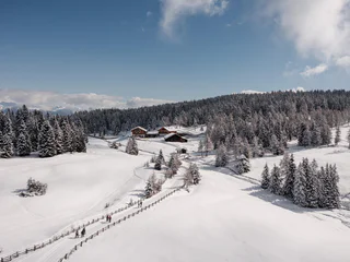

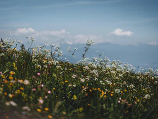
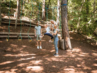
The journey is the destination for children. From strolls through a strech of apple blossoms in Bolzano/Bozen, Meran/Merano and Brixen/Bressanne surroundings to an unforgettable overnight stay at a mountain refuge in the Dolomites region like in Kronplatz : the many destinations and tours in South Tyrol will delight adults and children alike.
1/5
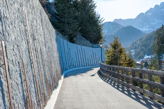
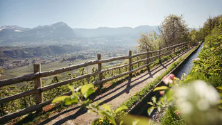
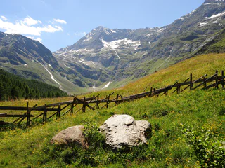
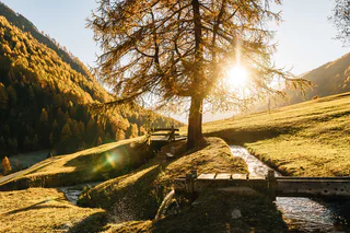
Irrigation Channel Ackerwaal
Mazia/Matsch
easy
Difficulty
300 m
Elevation gain
2h:30 min
duration


