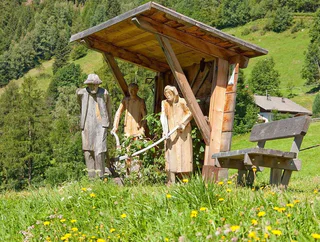
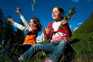
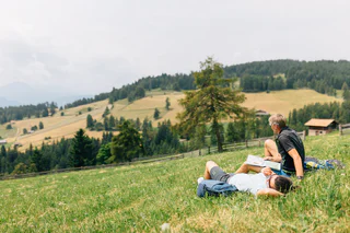

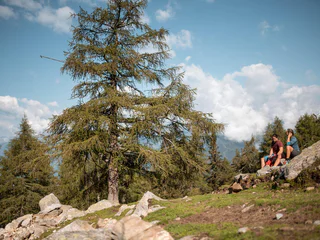
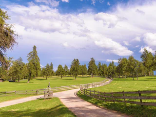
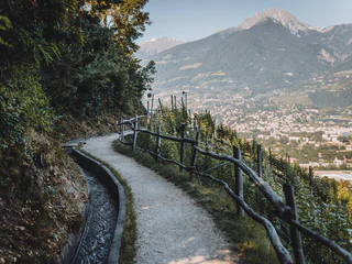
Voor kinderen vormt de reis de bestemming. Van wandelroutes door een zee van appelbloesems in de omgeving van Bolzano/Bozen, Meran/Merano en Brixen/Bressanone, een de onvergetelijke overnachting in een berghut in de Dolomieten- of Kronplatzregio: de talloze opties en tochten in Zuid-Tirol zijn heel leuk voor volwassenen én kinderen.

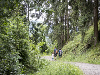
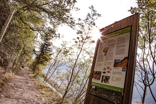
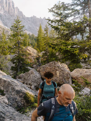
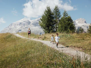
"In der Grube" circuit Trail
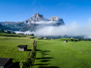
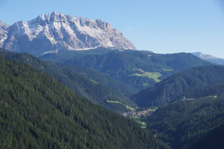
San Nicolò/St. Nikolaus, Ulten/Ultimo, Meran/Merano and environs
easy
Moeilijkheidsgraad
144 m
Hoogteverschil
1h:34 min
Duur


