
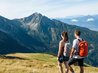
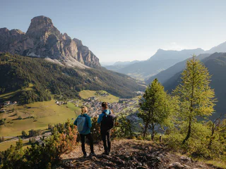
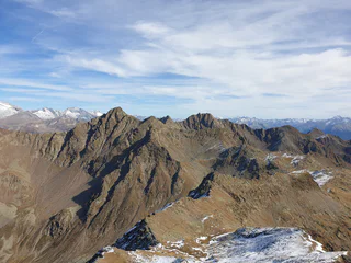
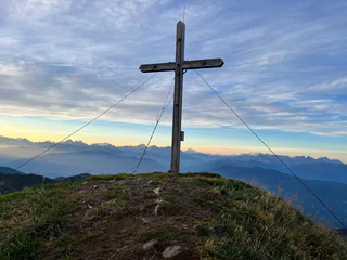
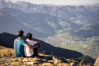
Wenn du ein Gipfelstürmer bist, kennst du das Gefühl von Freiheit. Es stellt sich ein, wenn man den Gipfel erreicht hat und von dort den Ausblick genießt. Stürmst du lieber die Dolomiten? Bevorzugst du sanftere Bergspitzen? Liebst du weite Ausblicke? Oder bist du nur mit den höchsten Erhebungen zufrieden? Mit über 100 Dreitausendern und Gipfeln, von denen man angeblich bis nach Venedig sehen kann, bietet Südtirol zahlreiche Gipfelerlebnisse.
1/10
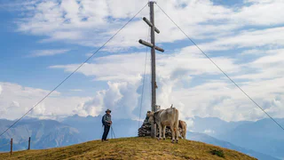
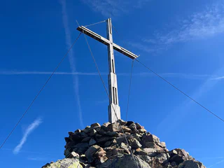
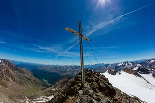
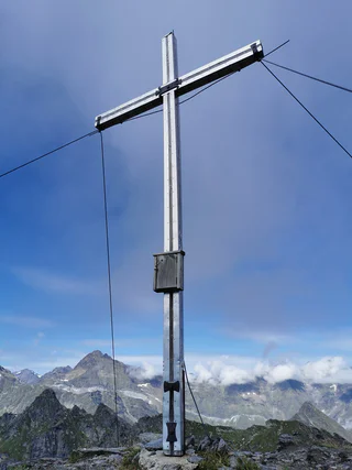
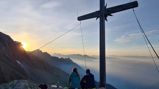
Circular summit hike to Sattelspitze (2,428 m)
Partschins/Parcines, Meran/Merano and environs
difficult
Difficulté
1320 m
Gain d'altitude
8h:45 min
durée


