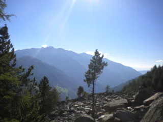
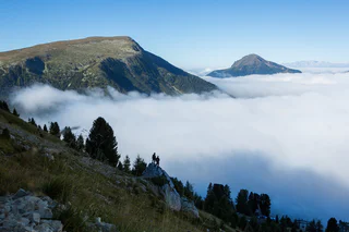
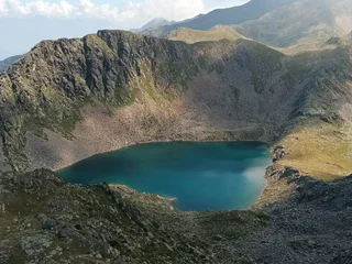
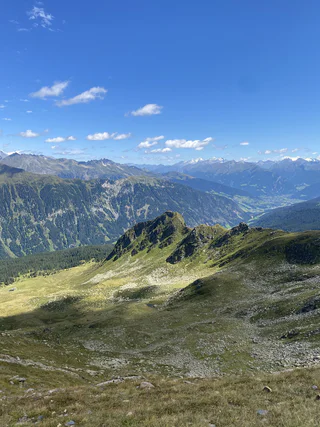
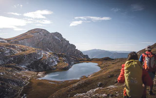
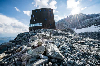
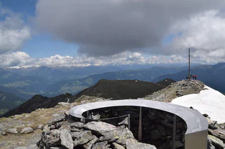
Pokud jste někdy vylezli na vrchol, znáte ten pocit svobody. Ten přichází, když dosáhnete vrcholu a užíváte si výhled z něj. Dáváte přednost šturmování Dolomit? Dáváte přednost mírnějším horským vrcholům? Milujete široké výhledy? Nebo se spokojíte pouze s nejvyššími vrcholy? Jižní Tyrolsko s více než 100 třítisícovými vrcholy a vrcholy, z nichž údajně dohlédnete až do Benátek, nabízí mnoho vrcholových zážitků.

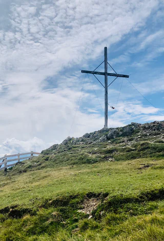
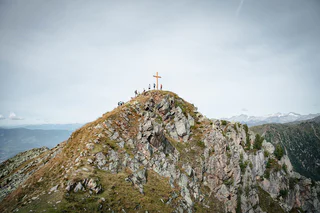
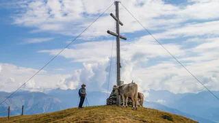
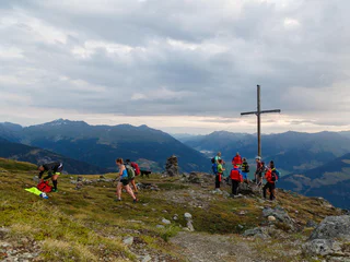
To the Kraxentrager summit
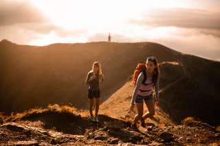
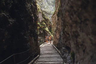
Sasso/Stein, Pfitsch/Val di Vizze, Sterzing/Vipiteno and environs
difficult
Obtížnost
1662 m
Převýšení
7h:00 min
doba trvání


