1/4
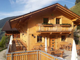
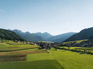
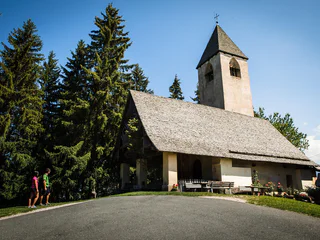
hiking tour to the Lechnerhof hut in Terenten
Terento/Terenten, Terenten/Terento, Brixen/Bressanone and environs
easy
Difficulté
89 m
Gain d'altitude
0h:48 min
durée
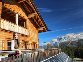
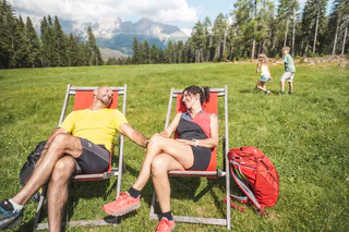
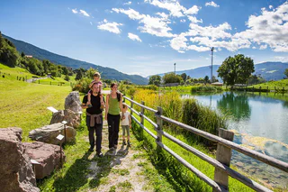
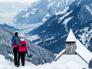
| Découvrez le Sud-Tyrol avec toute la famille. Nos sentiers et destinations adaptés aux poussettes vous permettront, à vous et à vos enfants, de vivre des expériences inoubliables dans la nature époustouflante du Sud-Tyrol |
1/4
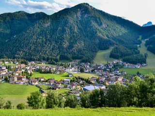
Terento/Terenten, Terenten/Terento, Brixen/Bressanone and environs
easy
Difficulté
89 m
Gain d'altitude
0h:48 min
durée
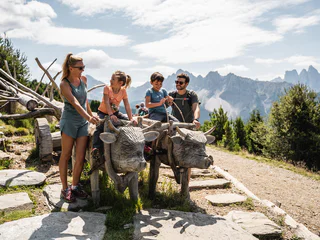
1/2
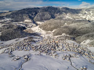
San Vigilio, Al Plan/San Vigilio, Dolomites Region Kronplatz/Plan de Corones
easy
Difficulté
86 m
Gain d'altitude
0h:58 min
durée
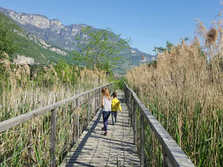
1/4
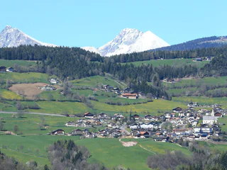
Castelrotto/Kastelruth, Kastelruth/Castelrotto, Dolomites Region Seiser Alm
medium
Difficulté
289 m
Gain d'altitude
2h:19 min
durée

Valgiovo/Jaufental, Ratschings/Racines, Sterzing/Vipiteno and environs
easy
Difficulté
55 m
Gain d'altitude
0h:12 min
durée
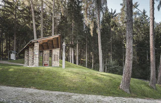
1/4
Vallesina/Versein, Mölten/Meltina, Bolzano/Bozen and environs
medium
Difficulté
341 m
Gain d'altitude
2h:23 min
durée
1/4
Nove Case/Neunhäusern, Rasen-Antholz/Rasun Anterselva, Dolomites Region Kronplatz/Plan de Corones
easy
Difficulté
20 m
Gain d'altitude
1h:03 min
durée
Weissenbach/Riobianco - Ahrntal/Valle Aurina, Mühlwald/Selva dei Molini, Ahrntal/Valle Aurina
easy
Difficulté
107 m
Gain d'altitude
1h:00 min
durée
1/8
Plose/Plose, Brixen/Bressanone, Brixen/Bressanone and environs
easy
Difficulté
184 m
Gain d'altitude
1h:36 min
durée
1/5
Magrè s.S.d.V./Margreid a.d.W., Kurtinig an der Weinstraße/Cortina sulla Strada del Vino, Alto Adige Wine Road
easy
Difficulté
0 m
Gain d'altitude
1h:11 min
durée
1/2
Sesto/Sexten, Innichen/San Candido, Dolomites Region 3 Zinnen
medium
Difficulté
0 m
Gain d'altitude
3h:00 min
durée
S. Maddalena/St. Magdalena - Casies/Gsies, Gsies/Valle di Casies
easy
Difficulté
522 m
Gain d'altitude
1h:30 min
durée
Ridanna/Ridnaun, Ratschings/Racines, Sterzing/Vipiteno and environs
easy
Difficulté
205 m
Gain d'altitude
0h:42 min
durée
Sciaves/Schabs, Natz-Schabs/Naz-Sciaves, Brixen/Bressanone and environs
easy
Difficulté
86 m
Gain d'altitude
1h:00 min
durée
Nova Ponente Centro/Deutschnofen Dorf, Deutschnofen/Nova Ponente, Dolomites Region Eggental
easy
Difficulté
514 m
Gain d'altitude
4h:02 min
durée
S. Candido/Innichen, Innichen/San Candido, Dolomites Region 3 Zinnen
medium
Difficulté
0 m
Gain d'altitude
5h:30 min
durée
1/3
Obereggen/Obereggen, Deutschnofen/Nova Ponente, Alto Adige Wine Road
easy
Difficulté
77 m
Gain d'altitude
1h:30 min
durée

1/2
Carezza/Karersee, Welschnofen/Nova Levante, Dolomites Region Eggental
easy
Difficulté
236 m
Gain d'altitude
0h:48 min
durée
1/4
Karersee/Carezza, Welschnofen/Nova Levante, Dolomites Region Eggental
easy
Difficulté
214 m
Gain d'altitude
3h:30 min
durée
1/5
S. Giacomo/St. Jakob - Val di Vizze/Pfitsch, Pfitsch/Val di Vizze, Sterzing/Vipiteno and environs
easy
Difficulté
38 m
Gain d'altitude
0h:25 min
durée
1/2
Tiso/Teis, Villnöss/Funes, Dolomites Region Lüsen Villnöss
easy
Difficulté
0 m
Gain d'altitude
0h:10 min
durée
1/5
Prenn/Prenn, Schenna/Scena, Meran/Merano and environs
easy
Difficulté
150 m
Gain d'altitude
0h:45 min
durée
Prissiano/Prissian, Tisens/Tesimo, Meran/Merano and environs
easy
Difficulté
95 m
Gain d'altitude
0h:58 min
durée
1/5
Fiè/Völs, Kastelruth/Castelrotto, Dolomites Region Seiser Alm
medium
Difficulté
5 m
Gain d'altitude
1h:46 min
durée
1/2
Gandelle-Franadega-Fienili/Kandellen-Frondeigen-Stadlern, Toblach/Dobbiaco, Dolomites Region 3 Zinnen
easy
Difficulté
61 m
Gain d'altitude
2h:30 min
durée
Colle/Pichl, Gsies/Valle di Casies
easy
Difficulté
395 m
Gain d'altitude
1h:37 min
durée
1/7
Caldaro Paese/Kaltern Dorf, Kaltern an der Weinstraße/Caldaro sulla Strada del Vino, Alto Adige Wine Road
easy
Difficulté
0 m
Gain d'altitude
2h:00 min
durée
Sand in Taufers/Campo Tures, Ahrntal/Valle Aurina
easy
Difficulté
71 m
Gain d'altitude
1h:15 min
durée
1/2
Nova Ponente Centro/Deutschnofen Dorf, Deutschnofen/Nova Ponente, Dolomites Region Eggental
easy
Difficulté
114 m
Gain d'altitude
1h:45 min
durée
1/9
Prissiano/Prissian, Tisens/Tesimo, Meran/Merano and environs
easy
Difficulté
162 m
Gain d'altitude
1h:13 min
durée
Fleres/Pflersch, Brenner/Brennero, Sterzing/Vipiteno and environs
easy
Difficulté
93 m
Gain d'altitude
0h:21 min
durée


