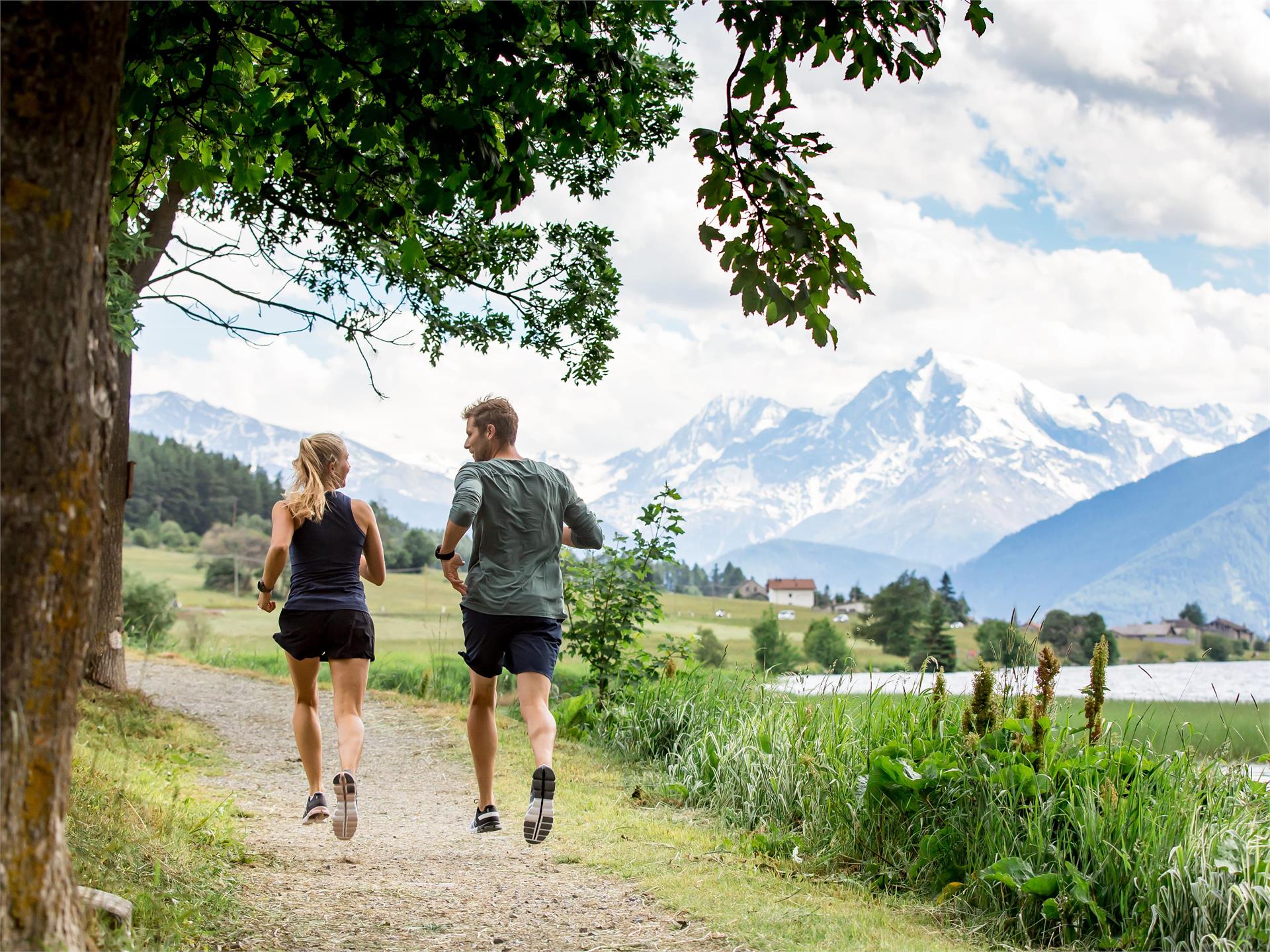
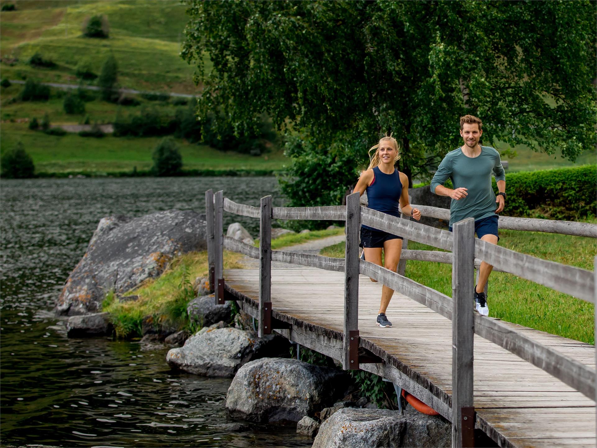
Passer au contenu
ajouté(e) aux favoris
supprimé(e) des favoris
Oups ! Une erreur s’est produite. Réessayer
Ton compte est en cours de création
Ton compte a été créé avec succès et tu es maintenant connecté
Tu es déconnecté
Filtrer
Filtres sélectionnés
    Niveau de difficulté
    Durée
    Distance en km

    Parcours de course à pied dans le Sud-Tyrol

    Le Sud-Tyrol est la Mecque variée des coureurs. Que ce soit en montée, en descente, à plat, sur l'asphalte, dans les forêts, dans les prés ou par monts et par vaux : chaque coureur trouve son compte dans le Sud-Tyrol. L'offre de parcours balisés et entretenus est vaste et va du paradis de la course à pied au lac Reschensee à l'entraînement sain en altitude sur l'Alpe de Siusi.

    Résultats
    Running and fitness
    Around the lake Resia
    Graun im Vinschgau/Curon Venosta, Vinschgau/Val Venosta

    The round of the Reschensee is a special experience for hikers and runners. The wonderful views of the Ortler is unique. The tower in the lake completes the picture. He is the last witness of the sunken village of Graun which can live the story.

    Difficulté : moyenne
    0 altitude
    1h:45 min durée
    Running and fitness
    Jogging: The way around Sesto/Sexten
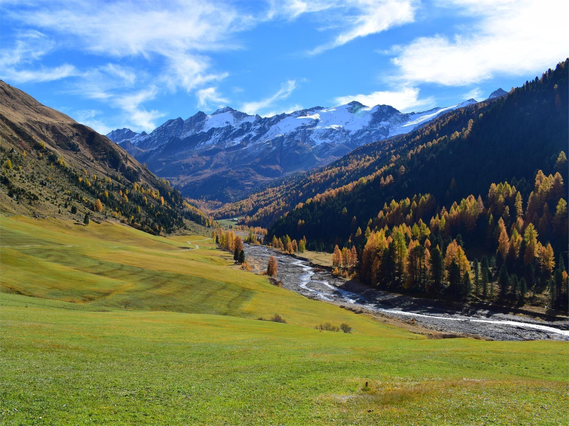
    Sexten/Sesto, Dolomites Region 3 Zinnen
    Once around Sesto and get to know a lot about flora, fauna and the village. Young and old can gain first impressions on the Sesto Circuit. The half-day tour is suitable for the whole family, but is only in some places accessible with a buggy.
    Difficulté : facile
    227 altitude
    2h:30 min durée
    Running and fitness
    To the Rescher Alm alpine pasture
    Graun im Vinschgau/Curon Venosta, Vinschgau/Val Venosta
    A popular running route starts from the northwestern edge of Reschen village towards the Rescher Alm. Always follow the signs for Rescher Alm and marker number 3 along the bike path, past the Mühlanderhof, across the meadows, and later on the forest path past Tendershof. After several switchbacks on trail number 3B, you reach the Rescher Alm, which is managed year-round and offers a unique view of the lake and surrounding villages. The return is via trail number 7, past Vallierteck.
    Difficulté : moyenne
    1001 altitude
    2h:00 min durée
    Running and fitness
    Around the lake San Valentino
    Graun im Vinschgau/Curon Venosta, Vinschgau/Val Venosta

    The lake Haidersee is a natural lake with a biotope areas, lead two boardwalks over which. Signs along the way describe the different bird and fish species in the region.

    Difficulté : facile
    0 altitude
    0h:30 min durée
    Running and fitness
    St. Jacob’s legend path
    S.Crestina Gherdëina/Santa Cristina Val Gardana, Dolomites Region Val Gardena
    This running track is perfectly suitable for beginners, and untrained runners, as well as for anyone looking for a relaxing run through the forest.
    In between, you will be rewarded with a stunning view at the small but yet prominant S. Giacomo church.
    Difficulté : facile
    333 altitude
    1h:49 min durée
    Running and fitness
    To the Melager Alm alpine pasture
    Graun im Vinschgau/Curon Venosta, Vinschgau/Val Venosta
    The running trail from Melag to the Melager Alm in Langtaufers is a scenic route for running enthusiasts. The run starts at the parking lot in the hamlet of Melag. From the parking lot, you run into the valley and turn right between the houses. Signs 2 and 5 mark the path, which is also clearly visible without markings. With a gentle incline, you jog to the Karlinbach, cross the bridge, and continue on a flat path to the alm. At the valley's end, there are impressive views of the snow-capped peaks surrounding the Weißkugel, with numerous three-thousanders flanking the valley to the north and south. The return is via the same route.
    As an alternative for runners, starting from the hamlet of Kappl at the former valley station of the Maseben lift is recommended, where you can follow the forest road to the Melager Alm
    Difficulté : facile
    146 altitude
    0h:40 min durée
    Running and fitness
    Jogging: Sesto - San Candido
    Innichen/San Candido, Dolomites Region 3 Zinnen

    It is a forest path of cosiness, no altitude difference and no special impulses. You will always have the village of Sesto on your right. From the reservoir through the forest to San Candido.

    Difficulté : facile
    60 altitude
    1h:40 min durée
    Running and fitness
    War Cemetery Track
    Toblach/Dobbiaco, Dolomites Region 3 Zinnen

    The trail beginns at the cross-country stadium at Dobbiaco and runs along the Landro Valley past the Dobbiaco Lake till the war cemetery, the final home of Austro-Hungarian soldiers of non-German speaking origin.

    There the track passes the river and goes back to the starting point.

    Difficulté : moyenne
    112 altitude
    2h:30 min durée
    1 2 3 4 5 6