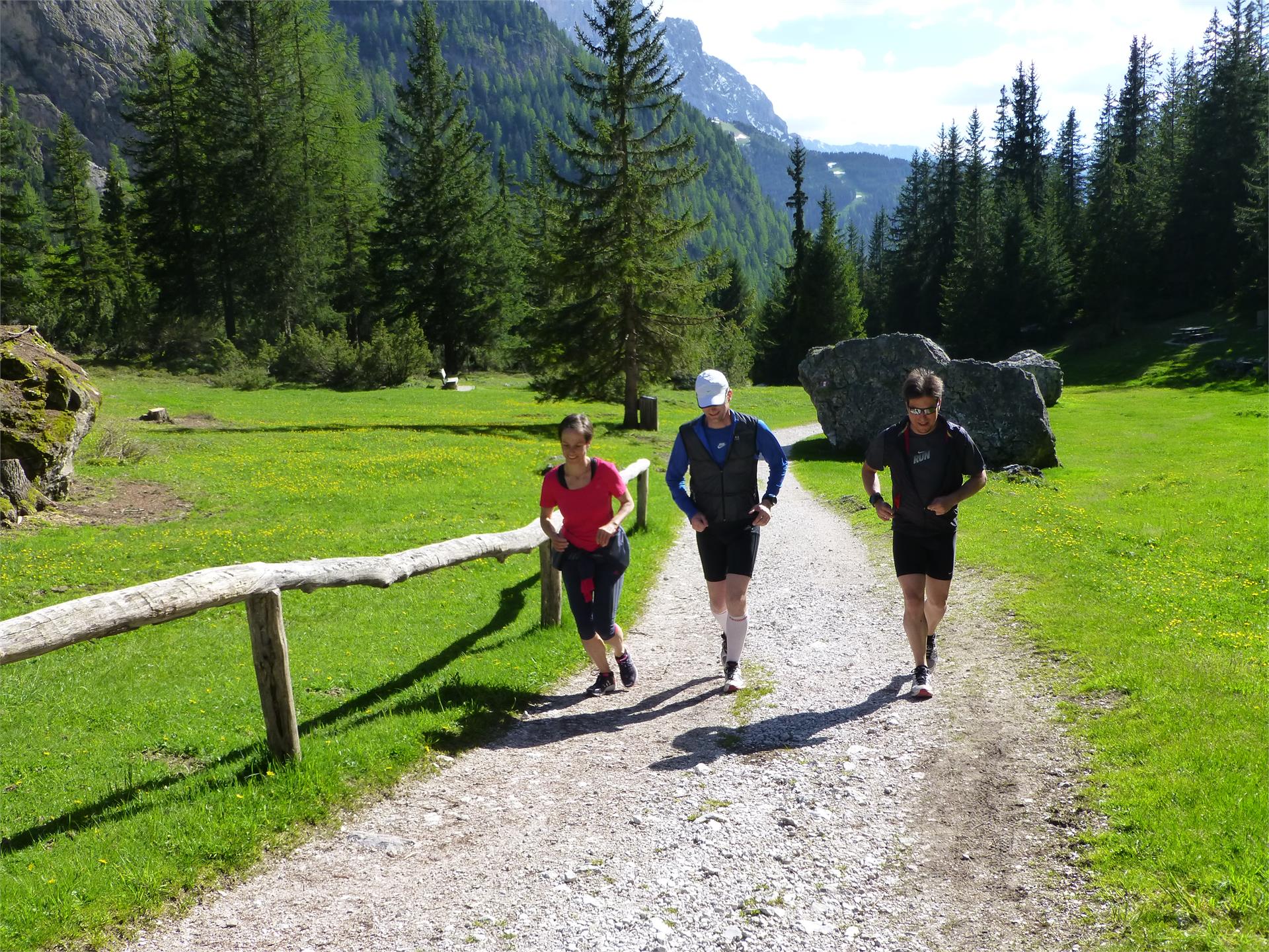
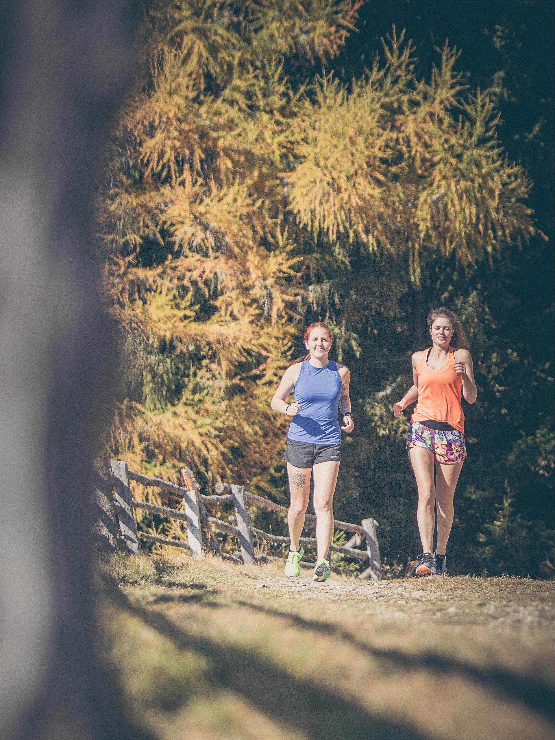
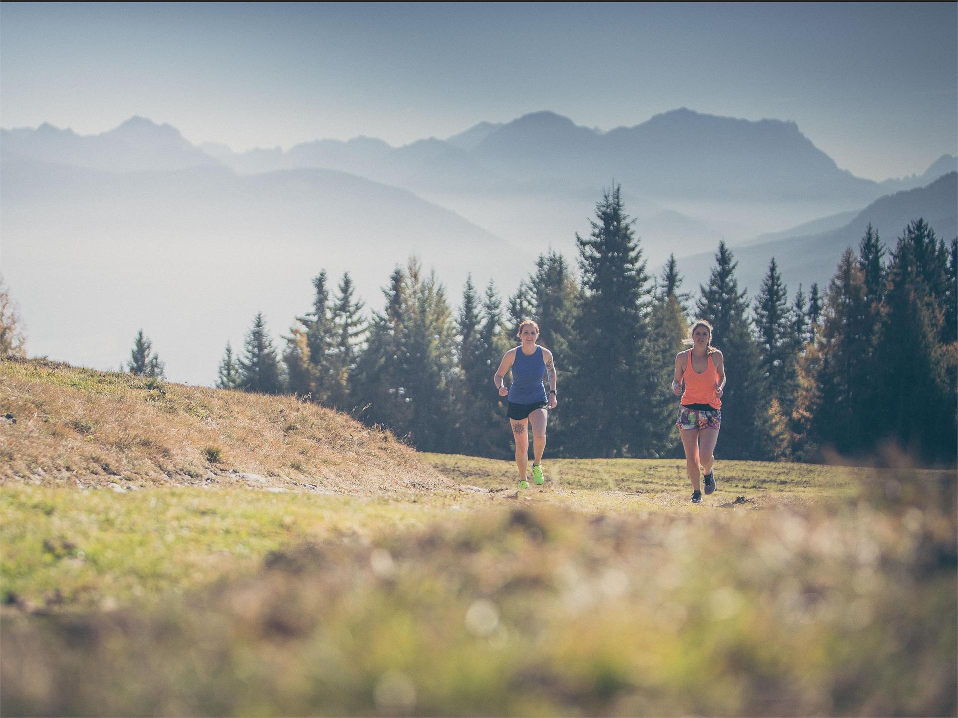
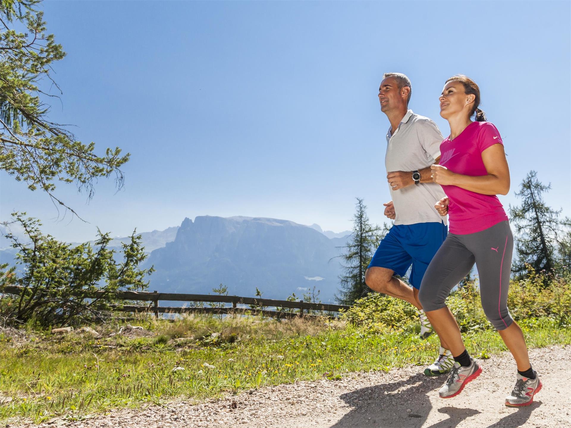
Running & Fitness
Bolzano/Bozen, Bolzano/Bozen and environs
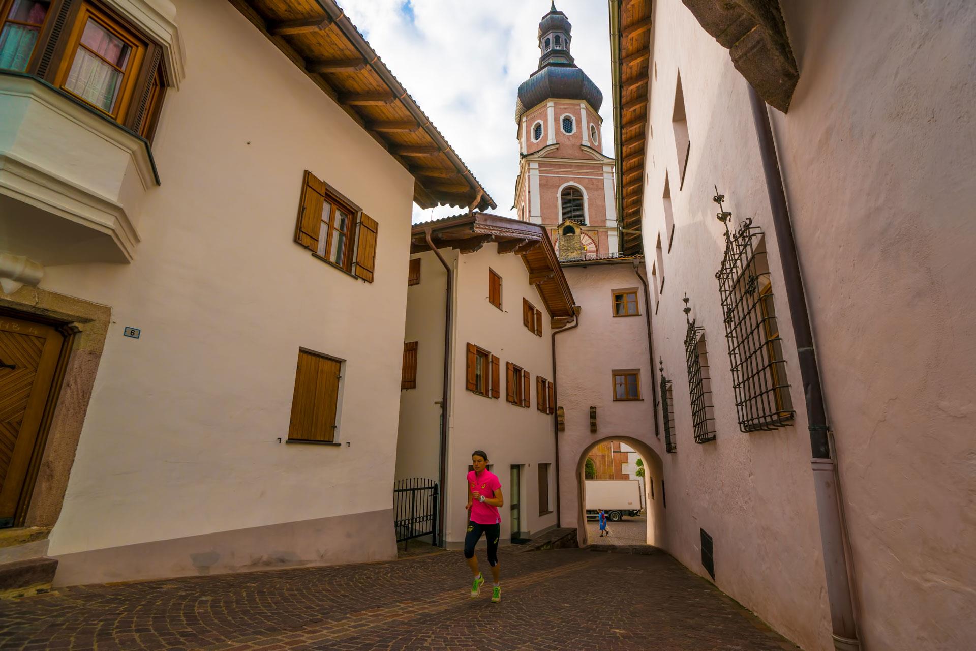
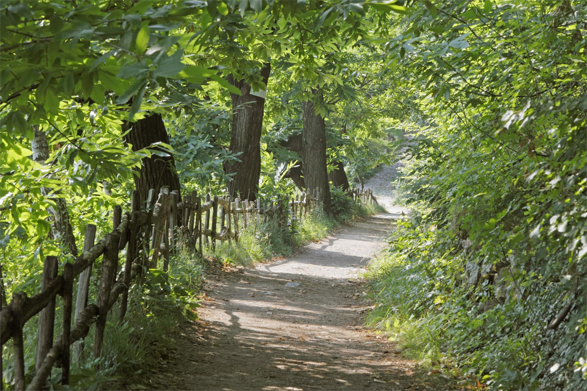
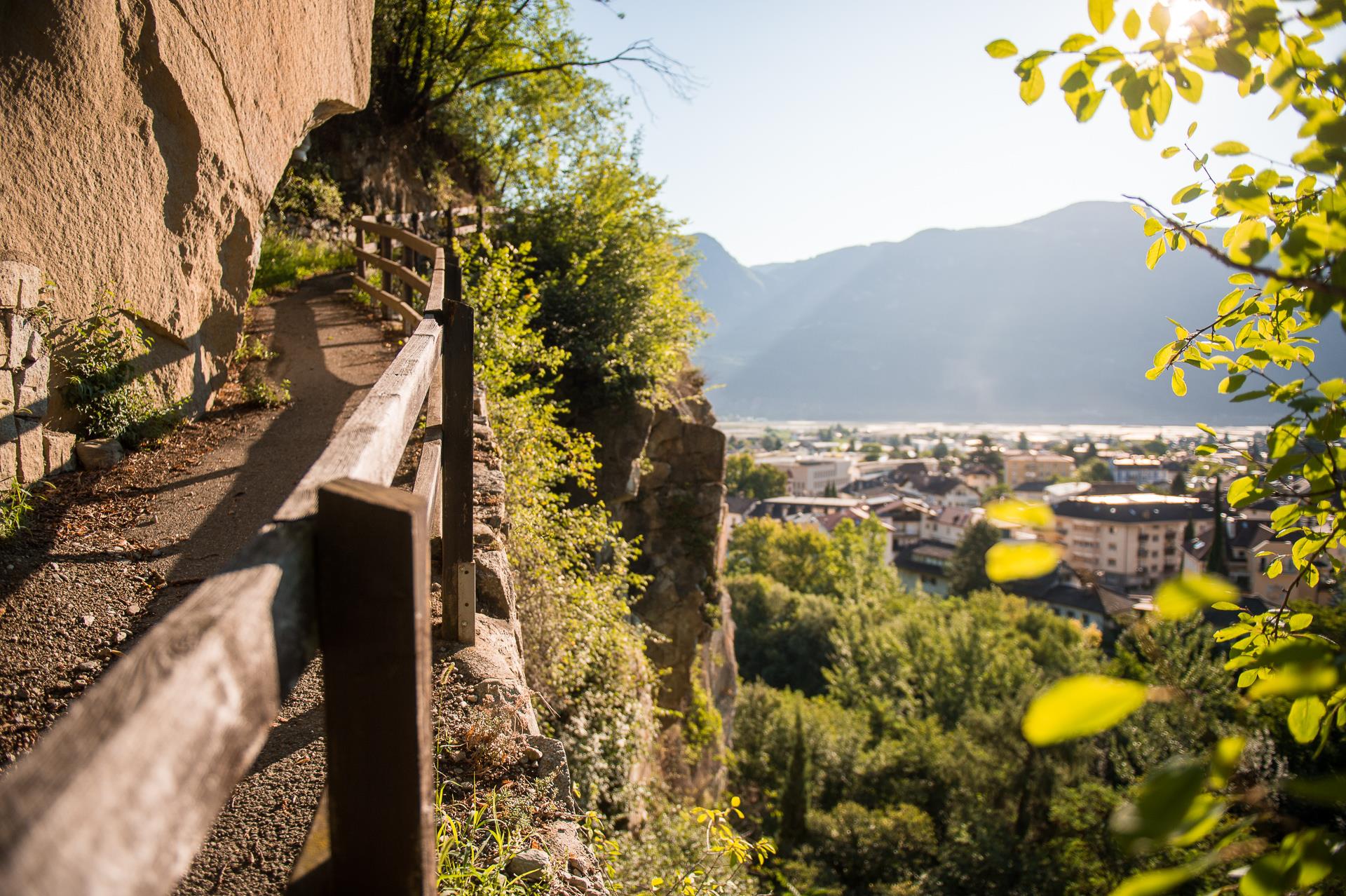
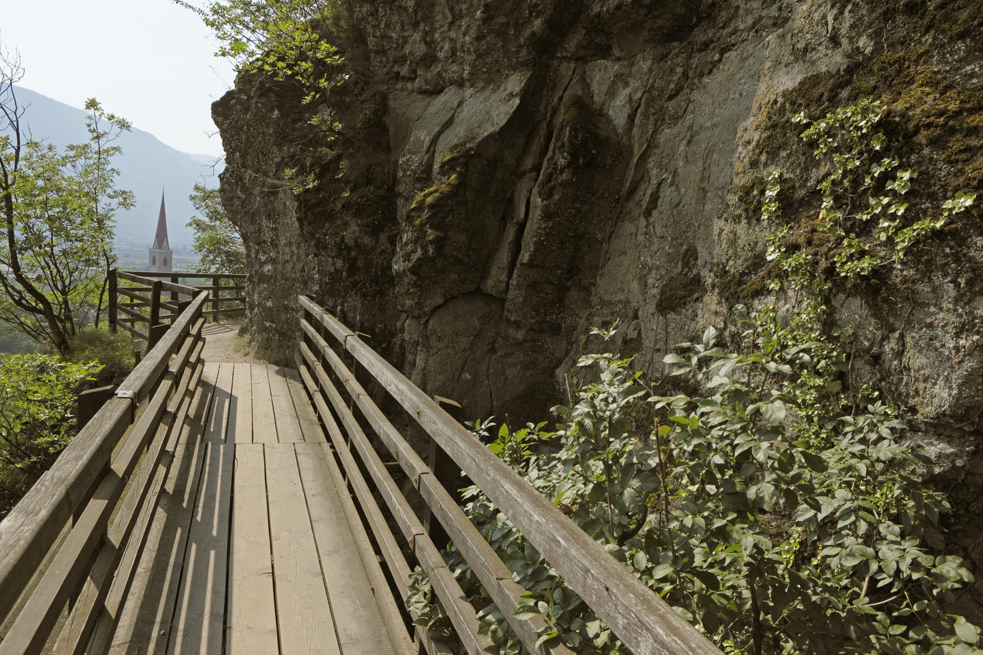
Running tour through Bolzano. You start in the old town in piazza Walther. Running along the antique via della Mostra you arrive to the fruit and vegetable market and turn left into via della Mostra. Cross the bridge ponte Talvera and run along the wide promanade beside the Talvera river. When you reach via Cadorna, cross the street and run along via Guncina. After 250 m turn left into via Montello and at the second crossing take the street on your right. Turn left again into via Fago to reach via Michael Pacher, where the run ends.
Here is the starting point of the Guncina Promenade, but you can run back to the old town also along Corso Libertà passing the Monument of Victory.