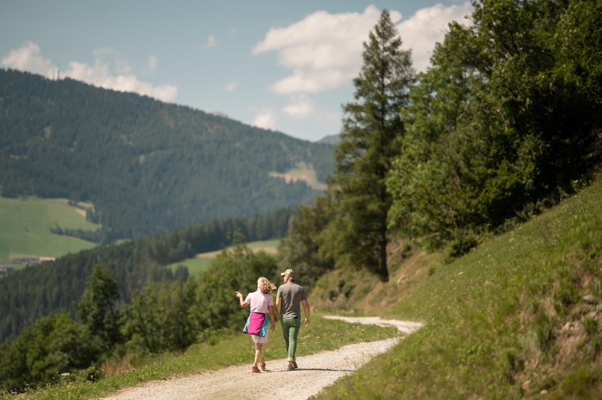
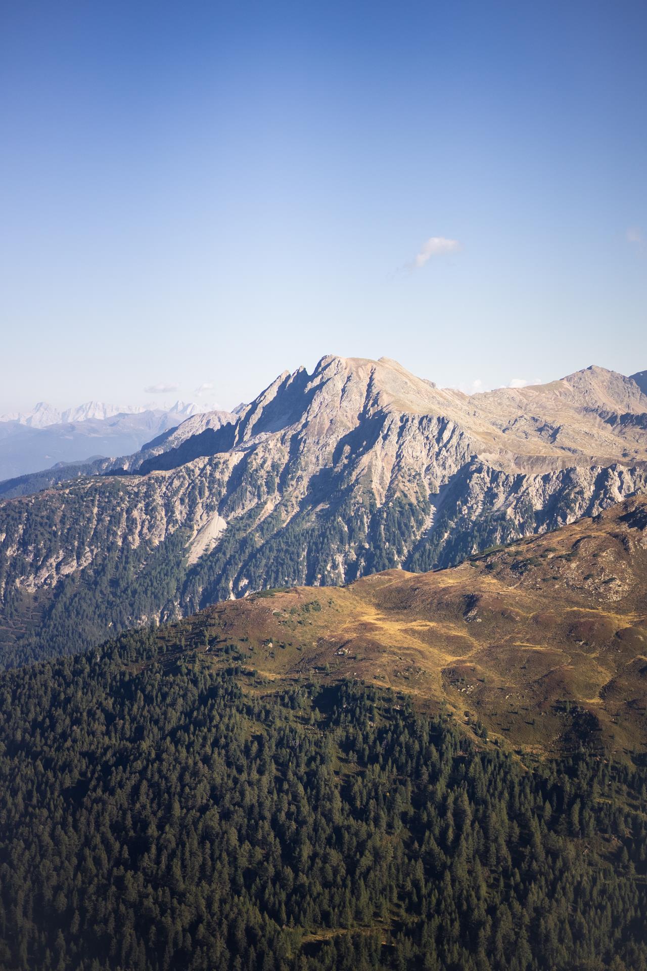
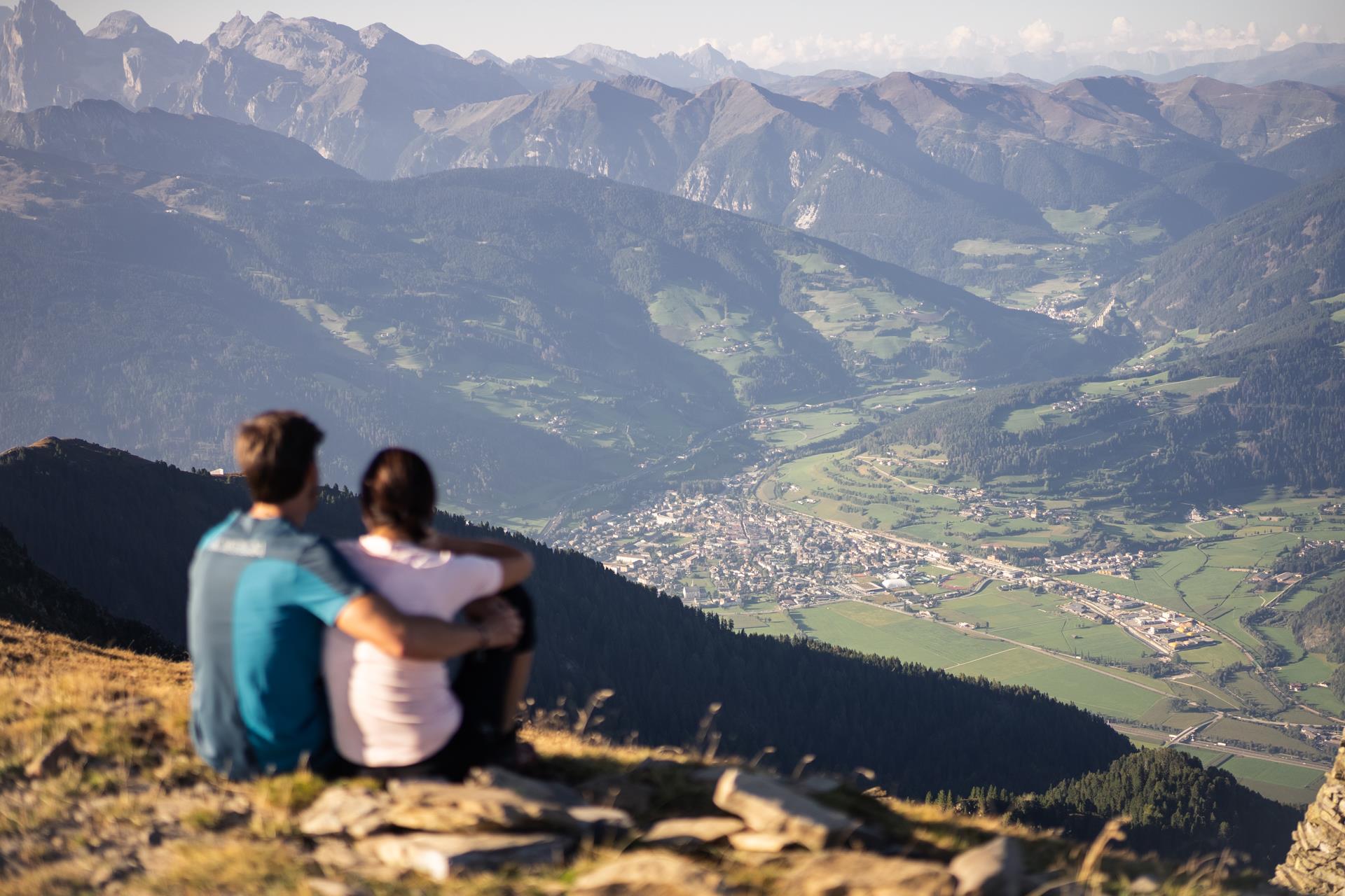
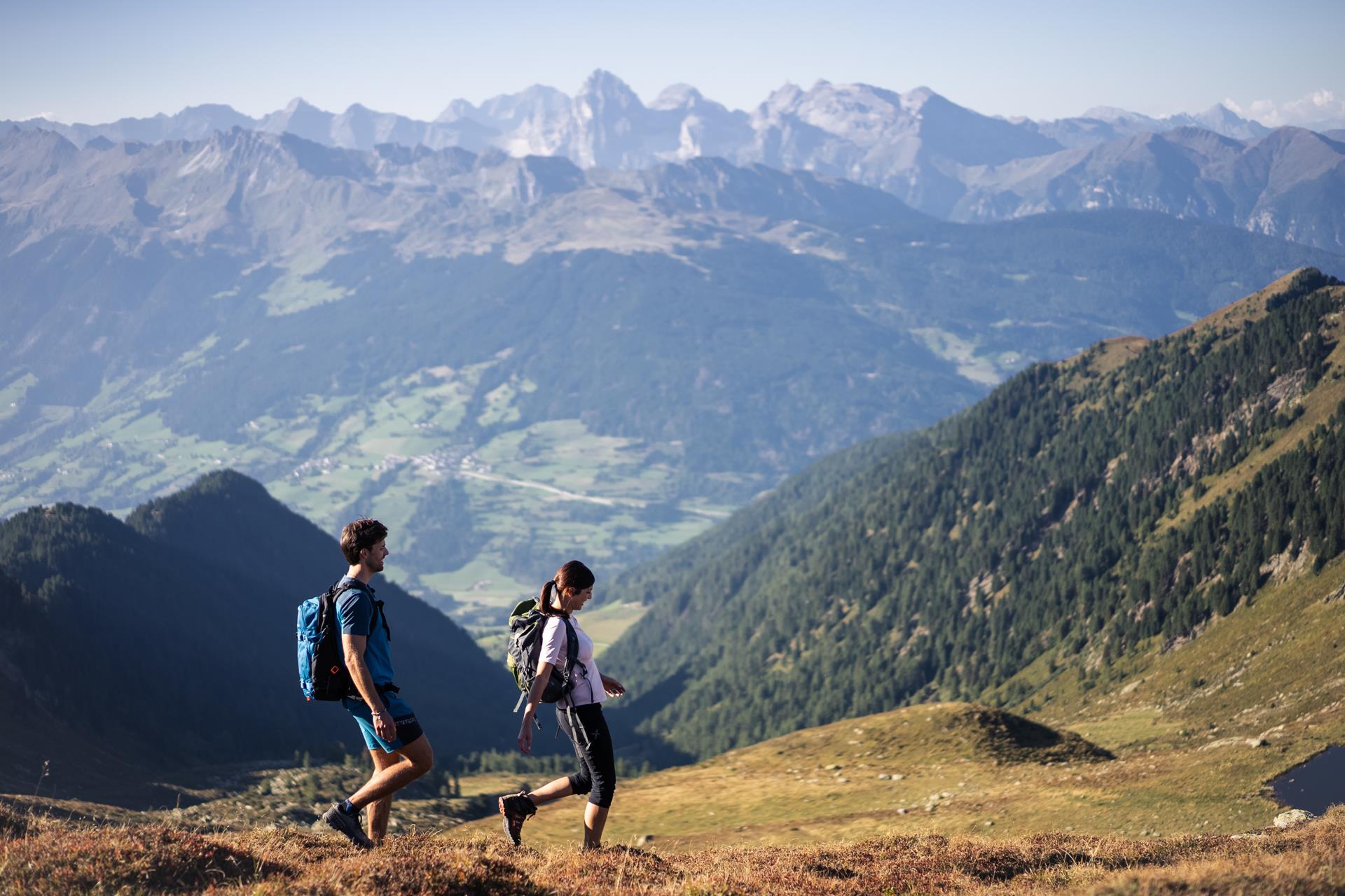
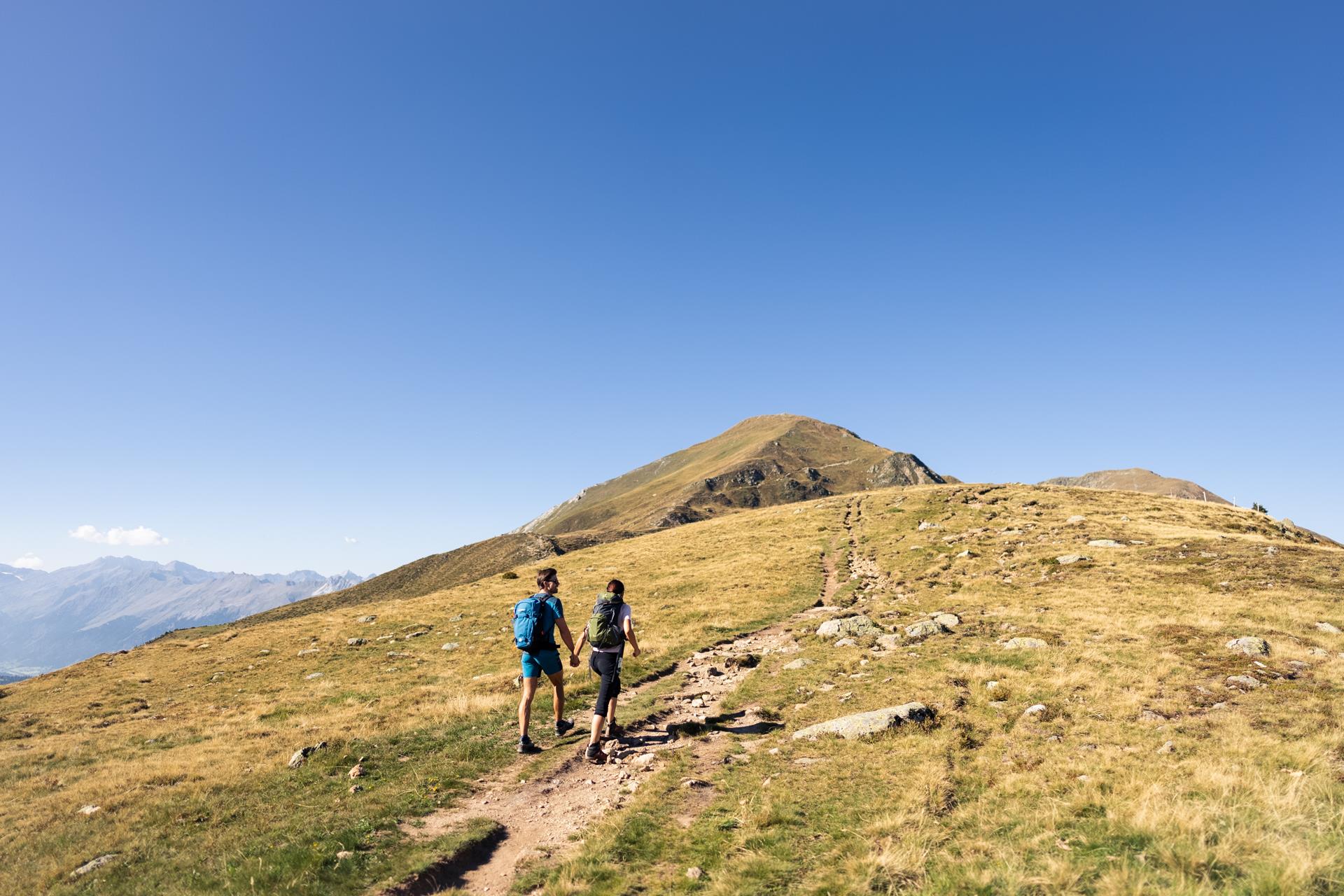
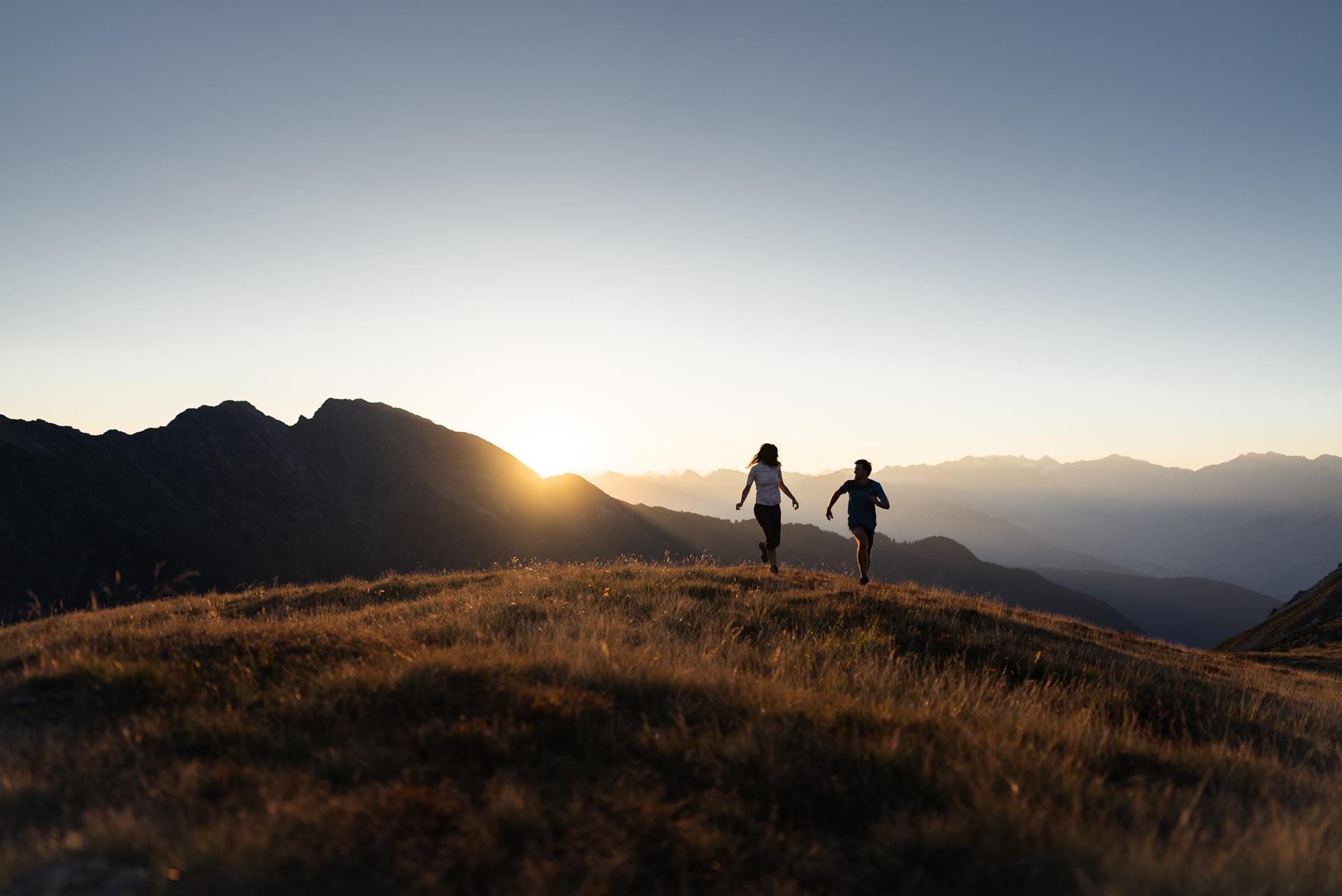
Passer au contenu
ajouté(e) aux favoris
supprimé(e) des favoris
Oups ! Une erreur s’est produite. Réessayer
Ton compte est en cours de création
Ton compte a été créé avec succès et tu es maintenant connecté
Tu es déconnecté
Filtrer
Filtres sélectionnés
    Niveau de difficulté
    Durée
    Distance en km

    Vacances à Sterzing Vipiteno et ses environs

    In allen Höhenlagen kann man im Eisacktal aktiv sein. Wege für Wanderer und Radfahrer schlängeln sich durch die Talebene, vorbei an Schlössern und Burgen, durch Weinberge und Obstwiesen, hinauf auf sonnige Almen bis in das Reich der Dolomiten. Die 33 Rundwege erfüllen die hohen Ansprüche an ein Rundum-Erlebnis. Von Bauern bearbeitetes Kulturland, blühende Almwiesen und stolze Gipfel bilden die Kulisse dieser 33 Wandertipps im Eisacktal . Diese von den jeweiligen Ferienorten ausgewählten Rundwege führen durch mediterrane Landstriche und alpine Regionen. Start und Endpunkt befinden sich an derselben Stelle, Wegverlauf und Gehzeit variieren. Entlang des Weges laden Kunst- und Naturdenkmäler, kulturelle Sehenswürdigkeiten, Aussichtsplätze und urige Hütten zum Innehalten.

    Résultats
    Hiking
    Winter hike in the Ridnauntal Valley
    Ratschings/Racines, Sterzing/Vipiteno and environs

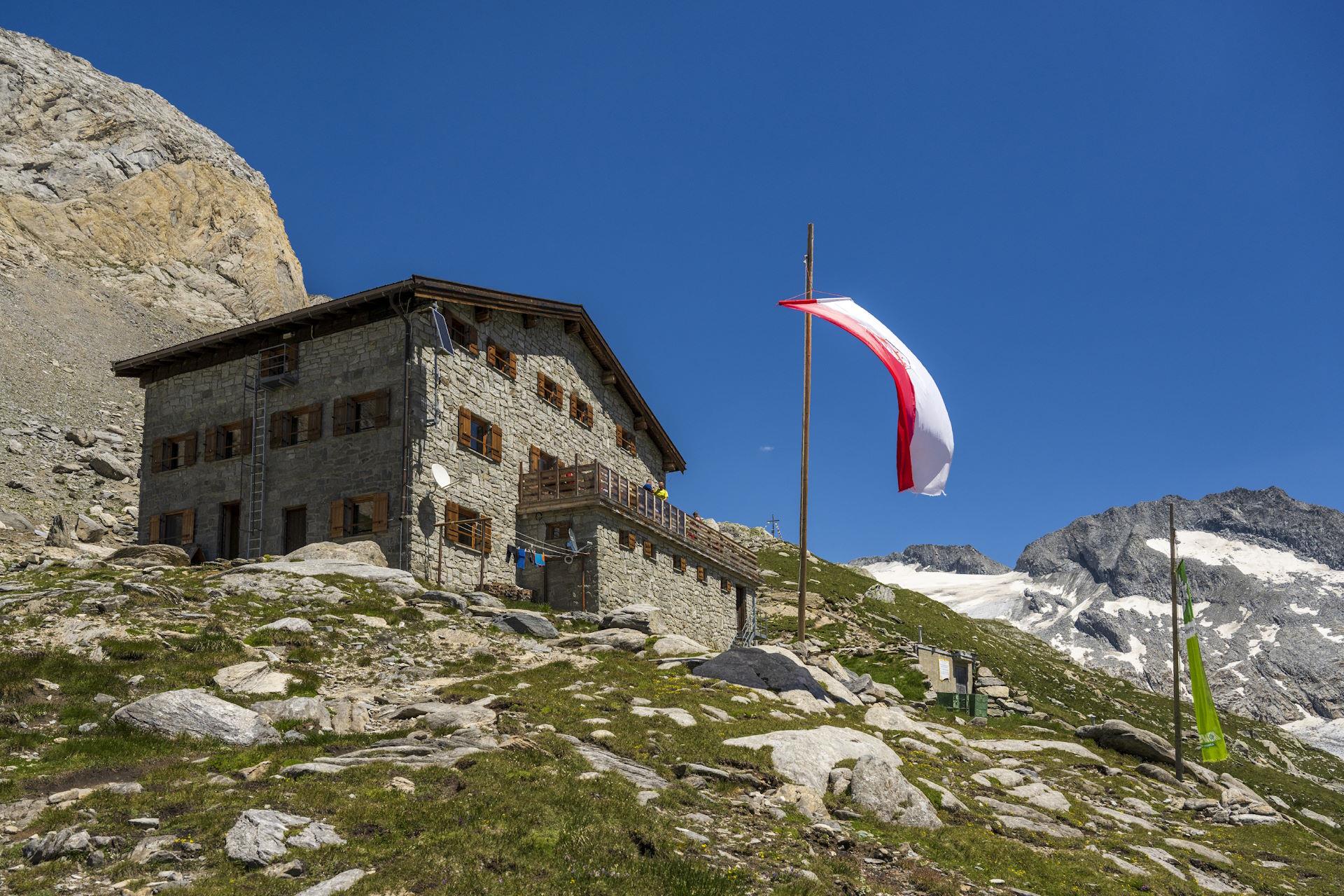
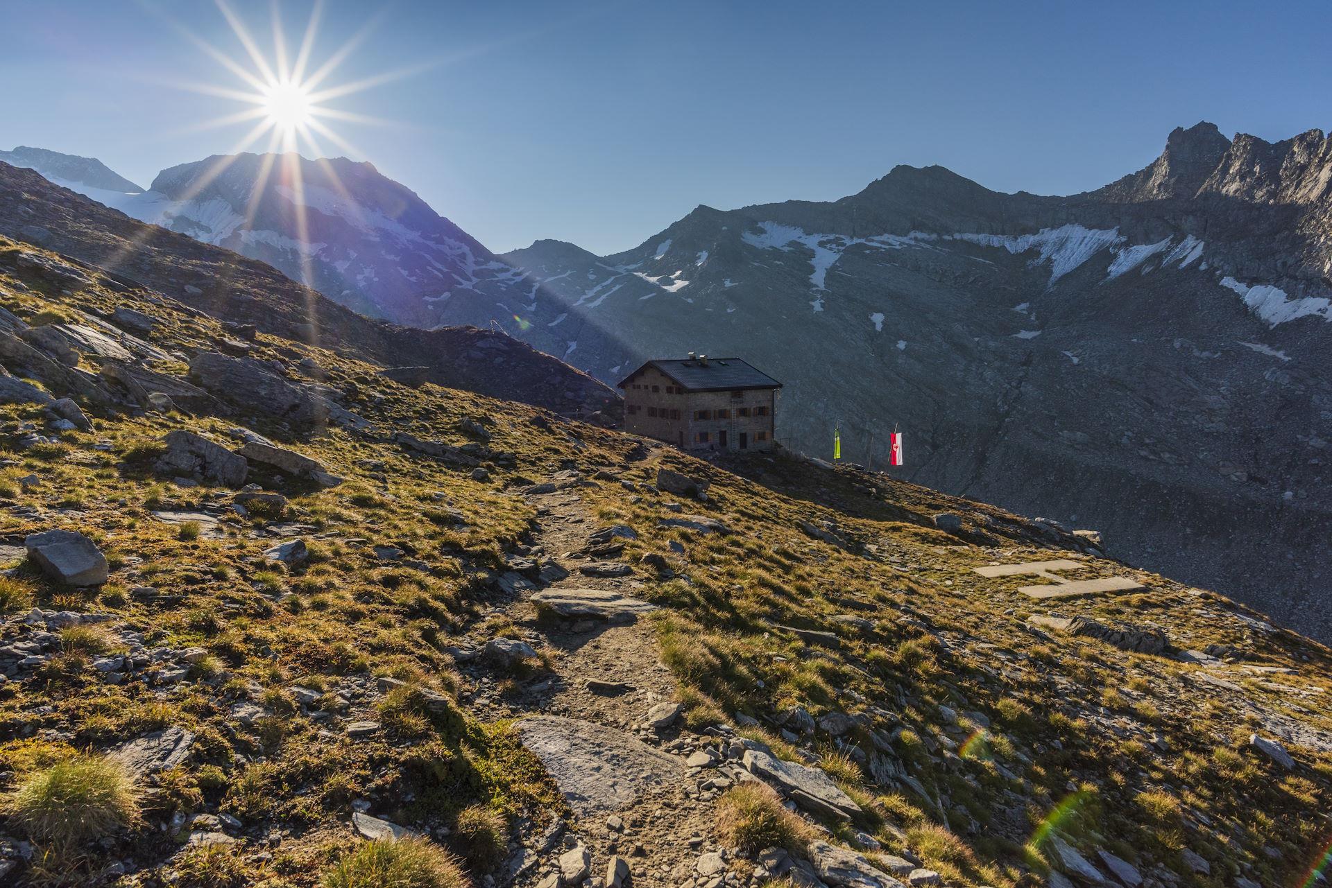
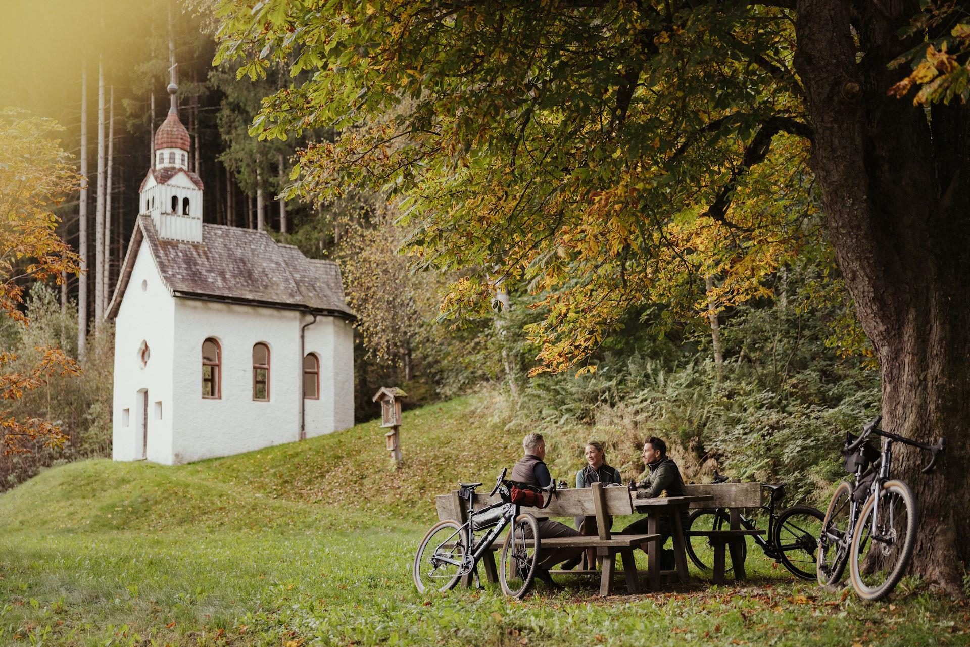
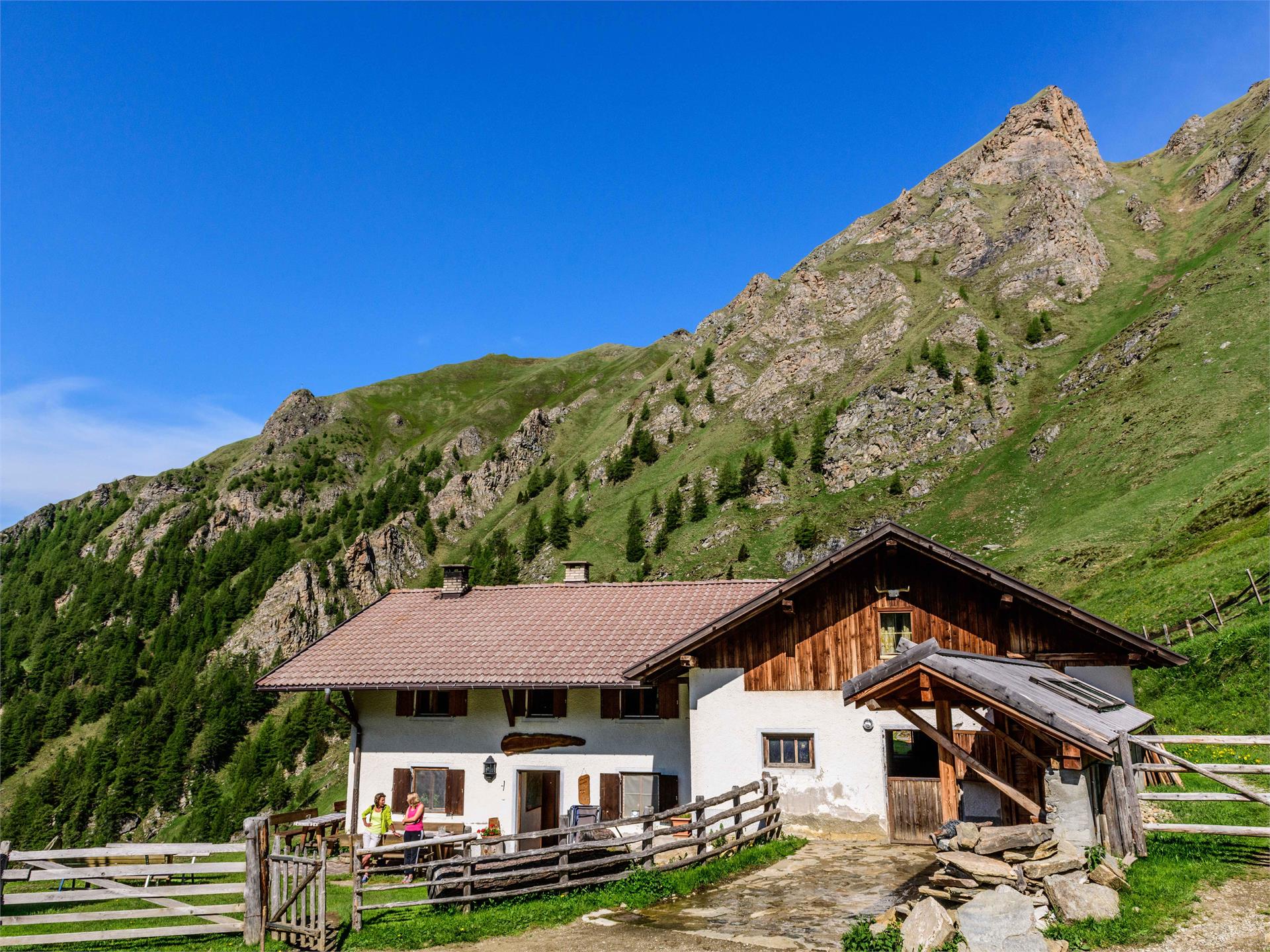
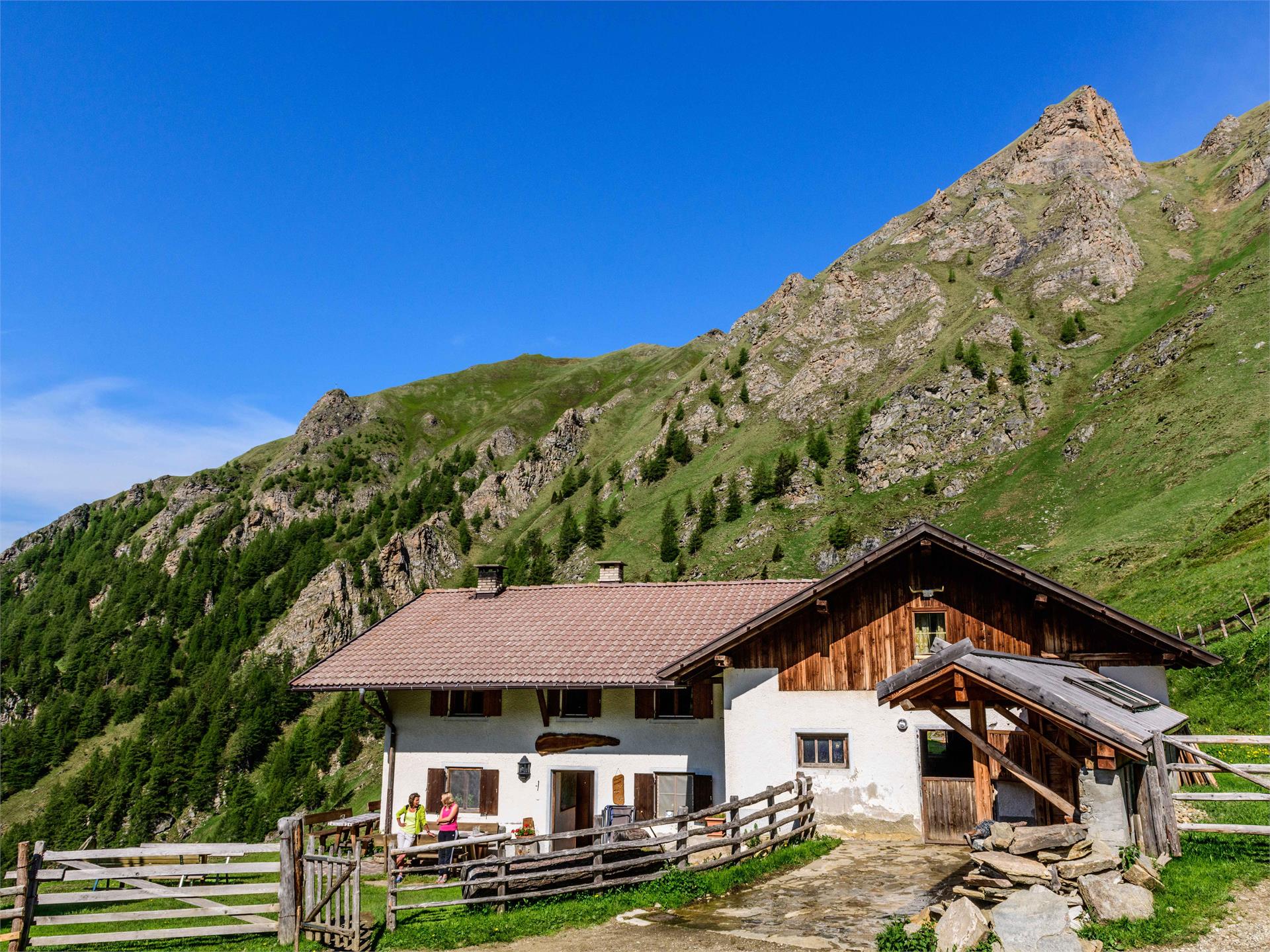
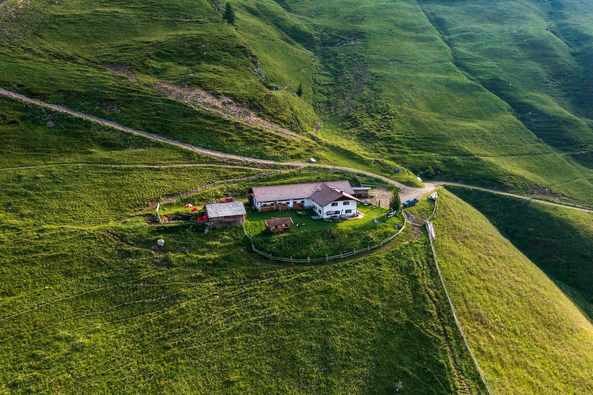
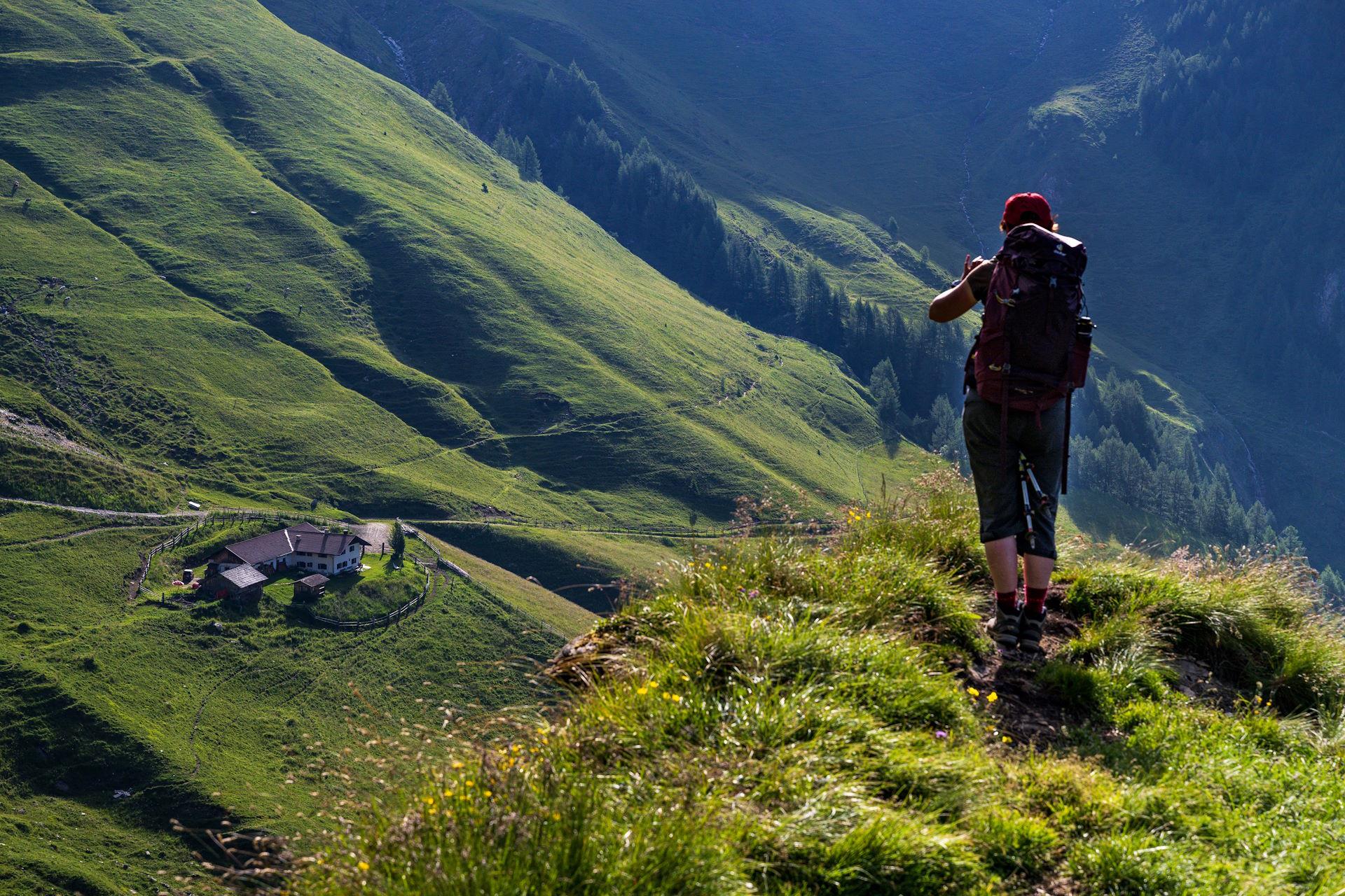
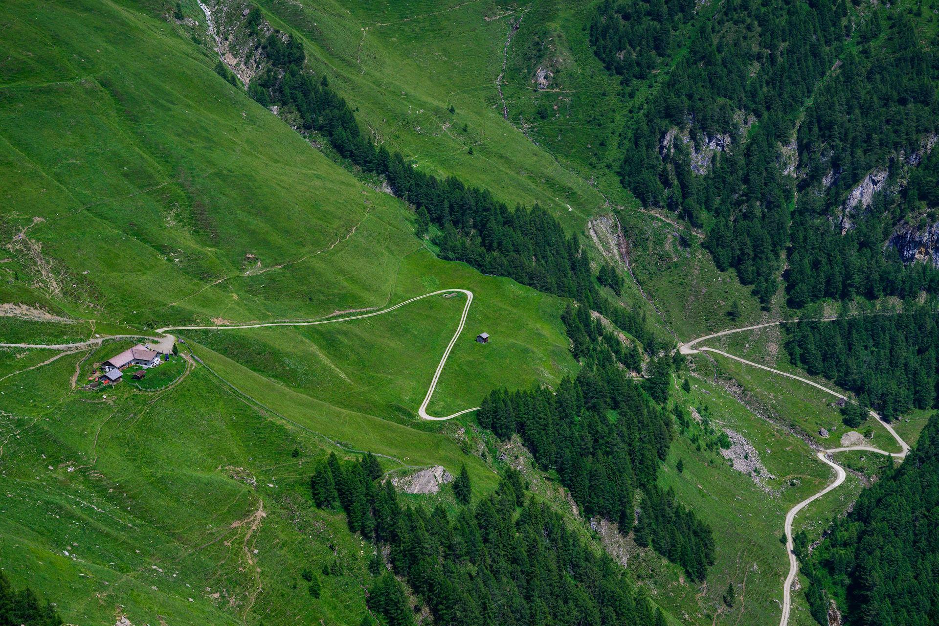
    From the Kulturhaus in Ridnaun (approx. 1370 m, here parking), on the well signposted, not missable and paved Erzweg (signs "Obere Erzstraße") mostly through forest slopes in level walk talein to Maiern (guest houses) and shortly further talein (if the the last part of the eruption is no longer paved, to the valley road) to the former ore processing at the end of the valley (1417 m). There you will be on the road bridge over the Talbach, on the other side of the valley through the sunny meadows of Weiler to Weiler valley (not far from the path the little church of St. Lorenzen, the Pfitscherhof frescoes and the gothic marble portal) , across the bridge, on the road, and briefly up to the church of Ridnaun and back to the starting point.

    Difficulté : facile
    268 altitude
    2h:30 min durée
    Hiking
    Winter hike to the Wurzeralm
    Ratschings/Racines, Sterzing/Vipiteno and environs
    From the hamlet “Gasse” in Ridanna drive on asphalted road southwards to the group of farmhouses Entholz. From Entholz hike through the forest and follow path no. 25 towards the mountain pasture Wurzeralm (no service).
    Difficulté : facile
    395 altitude
    1h:30 min durée
    Hiking
    Varied Rosskopf Circular Hike near Vipiteno/Sterzing
    Sterzing/Vipiteno, Sterzing/Vipiteno and environs

    The varied Rosskopf Circular Hike is a highlight in this valley of trails. The family-friendly hike leads up to the panoramic platform at the summit of the Rosskopf (2,168 m, "Little Head (Köpfl)") with fantastic views of the South Tyrolean mountains. From the summit, you walk along the crest to the Ochsenscharte saddle and then to the right through the remote and romantic Vallemingtal valley down to the three Alpine huts of the Valleming Alpine-farm village. This hike goes past the Kastellacke biotope and the Rossy Park, a mini-zoo with llamas, mountain goats and hares, back to the starting point.

    Difficulté : moyenne
    714 altitude
    2h:22 min durée
    Hiking
    To the Hochfeiler mountain hut
    Vintl/Vandoies, Sterzing/Vipiteno and environs

    By the 3rd turn follow the trail 1 upwards, passing by the old mountain huts and following the trail along the hillside through the valley. On the serpentines upwards the grass slope to the Hochfeiler mountain hut (2715m). Lunch possibility: Hochfeilerhütte mountain hut.

    Difficulté : moyenne
    1525 altitude
    5h:45 min durée
    Hiking
    Circular Hike Val di Mezzo/Mittertal - Val di Sopra/Obertal
    Ratschings/Racines, Sterzing/Vipiteno and environs

    From the village of Val di Mezzo/Mittertal on a small road towards "Hotel Jaufentalerhof" (signposted). Pass it and continue to Fontanafredda/Kaltenbrunn. From there turn right and follow the forest path until the junction which leads to Val di Sopra/Obertal. Follow the street out of the valley until the first bend then straight ahead to the Steinhof. The path leads through the forest back to the starting point.

    Difficulté : moyenne
    331 altitude
    1h:52 min durée
    Hiking
    Winter hike from Bichl/Colle to the mountain station of Ratschings/Racines
    Ratschings/Racines, Sterzing/Vipiteno and environs

    The winter hike starts at the Ratschings valley station and first leads past the Reaserhof farm, continuing in the direction of Blosegg until you reach the junction of the newly laid path. The trail continues under the cable car through the forest up to the mountain station of the Ratschings cable car.

    Difficulté : moyenne
    570 altitude
    3h:15 min durée
    Ski Tours
    Ski touring upclimbing track Ladurns
    Brenner/Brennero, Sterzing/Vipiteno and environs

    Ski touring friends will find a natural ascent path over hiking trails and forest roads to the mountain station Ladurns, which is ideal for practicing and training. The ascent slope is only open during the opening hours of the cable cars.

    Technical skiing grade: easy.
    Maps: Tabacco No. 038, Kompass No. 44.

    Difficulté : facile
    594 altitude
    1h:53 min durée
    Hiking
    Along the Via Crucis to Bad Möders
    Freienfeld/Campo di Trens, Sterzing/Vipiteno and environs

    The hike along the Via Crucis leads along religious stations from Stilves villages through the shadows of the forest to Bad Moeders, an old mineral spring with an adjacent chapel. The tranquility of the forest along the trail leads to a profound contemplation.

    Difficulté : facile
    147 altitude
    1h:30 min durée
    Hiking
    From Pfitsch Valley to the Simile Mahd Alm
    Pfitsch/Val di Vizze, Sterzing/Vipiteno and environs

    The hike starts by the Borgone hamlet, near the Vizze high valley entrance, and runs through the Borgone valley up to the timberline. The path crosses the interesting limestone sources of Borgone. The trail is passing some mountain huts (no service) and crosses the northern hill of the Finsterstern summit and leads along a joke to the Simile Mahd Alm mountain hut (2011m).

    Difficulté : difficile
    1857 altitude
    7h:15 min durée
    Mountaineering
    To the Sarner Weißhorn
    Freienfeld/Campo di Trens, Sterzing/Vipiteno and environs

    Follow trail 12A by the Penserjoch pass, passing by the Penserjoch lake and the Steinwand lake. Cross the hillside below the summit and afterwards upwards at the right side along the short fixed rope route.

    Lunch possibility: Gasthof Alpenrosenhof, Penserjoch Alm

    Difficulté : moyenne
    872 altitude
    4h:34 min durée
    Hiking
    From Wiesen to Tulfer
    Pfitsch/Val di Vizze, Sterzing/Vipiteno and environs

    Start by the Comunal Park in Wiesen on the promenade trail on the leftside to the valley end, over the Millerbrücke bridge by the village end and along the forestal road on the right side by the edge of the forest to Tulfer. Lunch possibility: Pretzhof, Parkbar Wiesen, Restaurant Wiesnerhof, Gasthaus Lex.

    Difficulté : moyenne
    455 altitude
    3h:30 min durée
    Mountaineering
    To the Tatschspitze summit
    Freienfeld/Campo di Trens, Sterzing/Vipiteno and environs

    Follow the trail 14B by the pass along the crest to the Astenberg summit. Afterwards on trail 14A crossing the hillside and at the junction further on trail 10 to the Tatschspitze summit (2530m).

    Lunch possibility: Gasthof Alpenrosenhof, Penserjoch Alm

    Difficulté : moyenne
    837 altitude
    4h:30 min durée
    Hiking
    Winter hike to Flading in the Ratschingstal Valley
    Ratschings/Racines, Sterzing/Vipiteno and environs

    From the inn Jaufensteg walk on the valley path of Val Racines towards the Kirchdorf Bichl (1280 m). From there always on the sundeck, a slight ascending, and then gradually leading through the meadows, past several courtyards to the stately Larchhof (1356 m, inn) on a paved hiking and cross-country trail in a beautiful flat hike mostly through meadows and finally, past individual courtyards, through meadows to the courts of Flading (1482 m). Follow the same route back to reach the starting point.

    Difficulté : moyenne
    403 altitude
    5h:07 min durée
    Hiking
    Winter hike to the Kalcheralm
    Ratschings/Racines, Sterzing/Vipiteno and environs

    The Winterwanderweg starts under the mountain station of the Ratschings-Jaufen cable car at the valley station of the Rinneralm chairlift (3 min. Walk).It goes in the direction of Kalcheralm, first over meadows and then on the forest road. Continue to the Kalcheralm. Return on the way.

    Difficulté : facile
    161 altitude
    1h:13 min durée
    Mountaineering
    To the Zinseler summit
    Sarntal/Sarentino, Sterzing/Vipiteno and environs

    The starting point lies on the pass road just a half kilometer before arriving to the Penser Joch pass. Along the trail 14 you will arrive to the Jaufental joke and the Gospeneid joke and get along the crest to the southern Zinseler summit side (2421m). Suitable for sunrise tours. Lunch possibility: Gasthof Alpenrosenhof, Penser Joch Alm

    Difficulté : facile
    376 altitude
    1h:30 min durée
    Hiking
    Excursion to the Simile Mahd Alm
    Freienfeld/Campo di Trens, Sterzing/Vipiteno and environs

    By car, it is best reached over Valgenäun to Niederflans (1.289m) and then forward on unpaved and not locked road to the Flaner Säge at the Senges valley; there you find a little natural park area (1.390m). From there continue on a forest path (no. 2A and 2) to the end of the valley and after a left bend upwards to the mountain pasture Simile-Mahd-Alm. Alternative: also reachable over the Pfunderer Höhenweg.
    Tip: grey cheese and alpine butter

    Difficulté : facile
    651 altitude
    2h:49 min durée
    Mountaineering
    From Elzenbaum to the Zinseler summit
    Sterzing/Vipiteno, Sterzing/Vipiteno and environs

    Following the trail 14B in Elzenbaum/Pruno upwards through the forest, passing by some farms and a fountain until arriving to the trail junction 14. Upwards on trail 14 to the Mandelseitenjoch (2114m) and further along the crest to the Zinseler summit (2421m). Lunch possibility: Brigittes Burgschenke

    Difficulté : difficile
    1804 altitude
    8h:30 min durée
    Hiking
    Via Crucis hike Stilves Dosso
    Freienfeld/Campo di Trens, Sterzing/Vipiteno and environs

    The hike along a via crucis connects the villages Stilves and Dosso. Enjoy a comfortable ascent through the forest along the various crucifixion stations. Itinerary: By the fire station of Stilves on the trail 15, passing by the upper sports field, over the stations of the “Via Crucis”, up to the Egg hamlet (1500m). Return on the same trail. Lunch possibilities: Gasthaus Egg, Gasthaus Schönblick.

    Difficulté : moyenne
    573 altitude
    2h:00 min durée
    Hiking
    Winter hike from Maiern to the Untere Gewingesalm
    Ratschings/Racines, Sterzing/Vipiteno and environs

    From Maiern behind the Hotel Schneeberg (1400 m), always follow the signs "Untere Gewingesalm", first southwards across the open valley floor to the forest, then on the wide forest path through the forest slopes in hairpin bends up to the forest boundary where the Untere Gewingesalm (1782 m) is located.

    Difficulté : moyenne
    403 altitude
    1h:34 min durée
    Hiking
    Winter hike to the Stadlalm in the Ridnauntal Valley
    Ratschings/Racines, Sterzing/Vipiteno and environs

    From the Ridnauntal valley exit (1400 m) always follow the signs "Stadlalm" and the mark 28 a paved trail, first in the area of the ore Lazzach valley to the clearing turn right and continue along a wide path (M 28 A) and continue straight to the Stadlalm (about 1620 m, just under 1:00 hrs). Descent as ascent.

    Difficulté : facile
    205 altitude
    1h:11 min durée
    Hiking
    Winter hike from Telves to the Freundalm
    Ratschings/Racines, Sterzing/Vipiteno and environs

    From Obertelfes (1258 m, at the Dorfbrunnen different signposts) follow the signs "Telferalmen" or "Freundalm" first on narrow Höfestrasse up to the Kappelerhof (1353 m), then on the wide paved hiking and tobogganing trail first through meadows and forest in a moderately increasing slope crossroads north-westwards and last again through meadows up to the Freundalm (about 1720 m); from Telfes 1:30 hrs Descent: As ascent in 1:00 hrs (possibly also with the toboggan).

    Difficulté : moyenne
    488 altitude
    2h:30 min durée
    Hiking
    Hiking in the Gilfenklamm Gorge
    Ratschings/Racines, Sterzing/Vipiteno and environs

    Cutting through pure white marble, which used to be coveted by stonemasons from all over the world and which shimmers here in every conceivable shade of green, the otherwise peaceful Ratschinger Bach stream becomes a raging torrent. By going down steep steps and over narrow bridges, you can get right down to the heart of the gorge, where a breathtaking natural scene awaits. The lower entrance to the Gilfenklamm gorge is in Stange/Stanghe, from where you walk along a level hiking trail to the entrance to the gorge, where the trail begins to climb gradually over bridges and along well-secured trails. Storming and raging, the wild waters of the Ratschinger stream tumble over numerous waterfalls, forcing themselves through narrow chasms between the steep cliff walls, which ensure that at the lowest, most impressive point - the so-called "church" - even the most dazzling sunshine is dimmed. Going from one bridge to another and up and down steps, you finally reach the end of the gorge. If you take your time, have good shoes and a camera, this hike is a memorable experience for all the family.

    Difficulté : facile
    0 altitude
    1h:30 min durée
    Hiking
    Platschjoch Panoramic Trail in Racines/Ratschings-Giovo/Jaufen
    Ratschings/Racines, Sterzing/Vipiteno and environs

    This easy hike starts at the top of the Ratschings-Jaufen cable car. The trail leads with gentle inclines to the Kalcheralm Alpine farm (refreshments available). From there it continues to the Jaufenpassstraße road, which you cross and then walk on as far as the Platschjoch ridge. Return to your starting point along the same route.

    Difficulté : facile
    0 altitude
    3h:00 min durée
    Sledging Trail
    Allriss sledge run
    Brenner/Brennero, Sterzing/Vipiteno and environs

    The Allriss toboggan run is located in the Pflersch/Fleres valley and leads from the Allriss mountain hut down to the parking above St. Anton/S. Antonio. The low gradient is ideal for families with children.

    Difficulté : facile
    0 altitude
    1h:06 min durée
    Mountaineering
    To the Hochfeiler summit
    Pfitsch/Val di Vizze, Sterzing/Vipiteno and environs

    This Hochfeiler summit (3.510 m), surrounded by glaciers, with its highest peak situated on the Alpi Aurine, east of Brenner in Southtyrol, extends over 130 kilometres along the border. 
    From Sterzing / Vipiteno to the Pfitsch Valley, start by the 3rd turn and follow trail 1 upwards to the old mountain huts and furtheron all along the hillside inside the valley. The trail continues on serpentines in steady increase and over a steep pasture upwards to a junction. Follow here the trail on the left side to the summit (8A, 1A). All along the serpentines, above the ridge up to the final crest. Follow the increasingly steeper trail along the crest (on hard snow or rock underground, depending on weather) to the higheast point of the Zillertal Alps and the Eisack valley (3510m). Lunch possibility: Hochfeilerhütte mountain hut.

    Difficulté : difficile
    2089 altitude
    9h:00 min durée
    Sledging Trail
    Sledge run Zirog/Zirago
    Brenner/Brennero, Sterzing/Vipiteno and environs

    The Zirog/Zirago toboggan run leads from the mountain hut Enzianhütte to the village Brennerbad/Terme di Brennero.

    Difficulté : facile
    0 altitude
    2h:04 min durée
    Sledging
    Rosskopf Mountain Coaster
    Ratschings/Racines, Sterzing/Vipiteno and environs

    A new highlight on the local mountain of Sterzing / Vipiteno! Starting from the mountain station of the panoramalift at 2,120 meters above sea level, a mountain coaster is being installed on the Rosskopf. The course leads over a length of 1,300 m over a height difference of nearly 300 meters to the valley station of the panoramalift. Sounds like heaps of fun? It definitely will be, because with a gradient of 20% on average and a maximum of 56%, speeds of up to 40 km/h can be reached. That means spectacular fun for the young and old, amidst the breath-taking mountain panorama. 

    Difficulté : facile
    0 altitude
    0h:30 min durée