This Hochfeiler summit (3.510 m), surrounded by glaciers, with its highest peak situated on the Alpi Aurine, east of Brenner in Southtyrol, extends over 130 kilometres along the border.
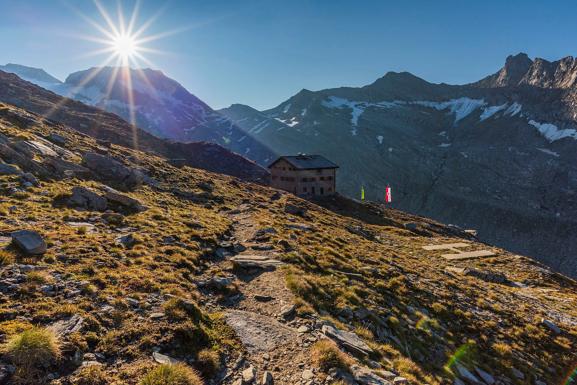
From Sterzing / Vipiteno to the Pfitsch Valley, start by the 3rd turn and follow trail 1 upwards to the old mountain huts and furtheron all along the hillside inside the valley. The trail continues on serpentines in steady increase and over a steep pasture upwards to a junction. Follow here the trail on the left side to the summit (8A, 1A). All along the serpentines, above the ridge up to the final crest. Follow the increasingly steeper trail along the crest (on hard snow or rock underground, depending on weather) to the higheast point of the Zillertal Alps and the Eisack valley (3510m). Lunch possibility: Hochfeilerhütte mountain hut.

To complete your subscription, open the email we just sent you and click on the confirmation link.
Can’t find it? Check your spam folder too.