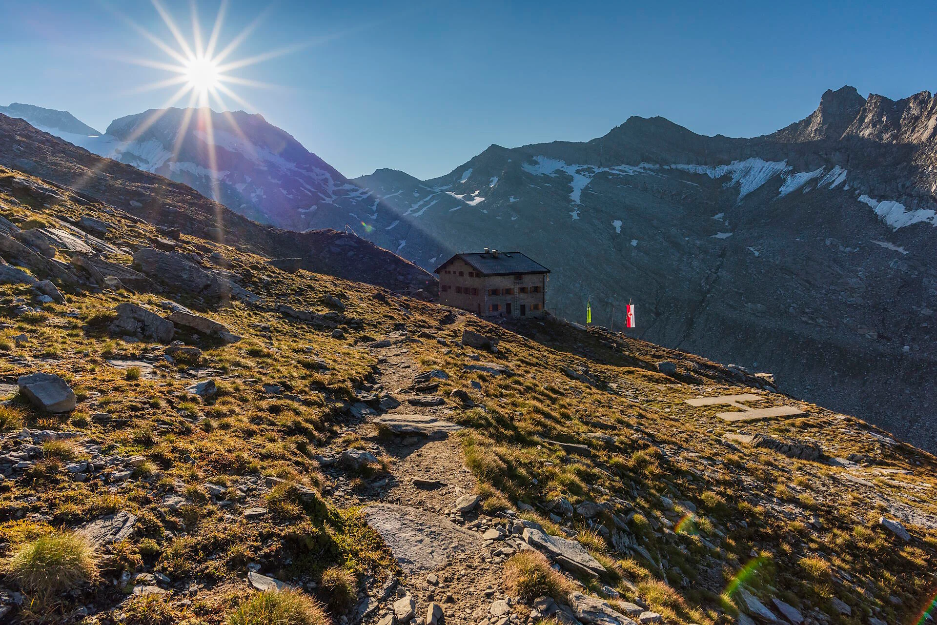
By the 3rd turn follow the trail 1 upwards, passing by the old mountain huts and following the trail along the hillside through the valley. On the serpentines upwards the grass slope to the Hochfeiler mountain hut (2715m). Lunch possibility: Hochfeilerhütte mountain hut.
By the 3rd turn follow the trail 1 upwards, passing by the old mountain huts and following the trail along the hillside through the valley. On the serpentines upwards the grass slope to the Hochfeiler mountain hut (2715m). Lunch possibility: Hochfeilerhütte mountain hut.

To complete your subscription, open the email we just sent you and click on the confirmation link.
Can’t find it? Check your spam folder too.