
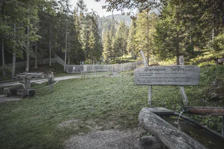
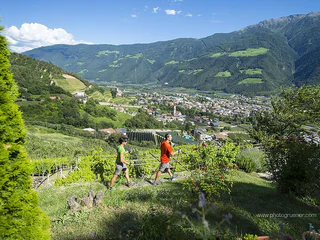
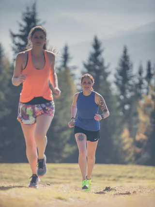
Nordic Walking in Vallunga
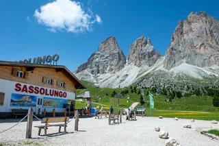
Selva/Sëlva/Wolkenstein/Sëlva, Sëlva/Selva di Val Gardena, Dolomites Region Val Gardena
easy
Difficulté
480 m
Gain d'altitude
3h:15 min
durée
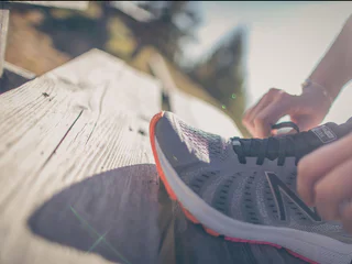
Garde la forme - avec le nordic walking dans le Sud-Tyrol. Développée en Finlande, cette discipline sportive combine exercice physique et plaisir de la nature, soulage entre autres les tensions musculaires et améliore les performances cardio-vasculaires. Et pour ceux qui ne maîtrisent pas encore l'utilisation des bâtons, un professionnel est à leur disposition pendant leurs vacances dans le Sud-Tyrol, dans les parcs de nordic walking et lors des tours guidés. Pour tous les autres, plus de 2.000 kilomètres de chemins pour la marche nordique dans le Sud-Tyrol les attendent.
Selva/Sëlva/Wolkenstein/Sëlva, Sëlva/Selva di Val Gardena, Dolomites Region Val Gardena
easy
Difficulté
480 m
Gain d'altitude
3h:15 min
durée
1/2
S. Candido/Innichen, Innichen/San Candido, Dolomites Region 3 Zinnen
medium
Difficulté
0 m
Gain d'altitude
1h:30 min
durée
1/3
Valles/Vals, Mühlbach/Rio di Pusteria, Brixen/Bressanone and environs
medium
Difficulté
164 m
Gain d'altitude
0h:49 min
durée
Vallesina/Versein, Mölten/Meltina, Bolzano/Bozen and environs
easy
Difficulté
269 m
Gain d'altitude
3h:02 min
durée
Pfalzen/Falzes, Dolomites Region Kronplatz/Plan de Corones
easy
Difficulté
123 m
Gain d'altitude
1h:11 min
durée
San Nicolò/St. Nikolaus, Ulten/Ultimo, Meran/Merano and environs
medium
Difficulté
0 m
Gain d'altitude
3h:30 min
durée
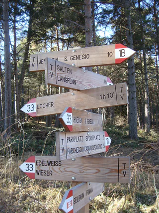
Cologna/Glaning, Jenesien/San Genesio Atesino, Bolzano/Bozen and environs
medium
Difficulté
460 m
Gain d'altitude
2h:07 min
durée
Scena/Schenna, Schenna/Scena, Meran/Merano and environs
easy
Difficulté
85 m
Gain d'altitude
0h:15 min
durée
1/2
Nobls/Nobls, Jenesien/San Genesio Atesino, Bolzano/Bozen and environs
easy
Difficulté
378 m
Gain d'altitude
2h:38 min
durée
Bolzano Centro/Bozen Zentrum, Bolzano/Bozen, Bolzano/Bozen and environs
easy
Difficulté
25 m
Gain d'altitude
1h:37 min
durée
1/2
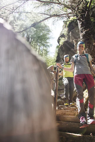
Naturno/Naturns, Naturns/Naturno, Meran/Merano and environs
difficult
Difficulté
1169 m
Gain d'altitude
4h:28 min
durée
Selva/Sëlva/Wolkenstein/Sëlva, Sëlva/Selva di Val Gardena, Dolomites Region Val Gardena
difficult
Difficulté
969 m
Gain d'altitude
5h:01 min
durée
Videgg/Videgg, Schenna/Scena, Meran/Merano and environs
easy
Difficulté
150 m
Gain d'altitude
0h:19 min
durée
Rasun di Sopra/Oberrasen, Rasen-Antholz/Rasun Anterselva, Dolomites Region Kronplatz/Plan de Corones
easy
Difficulté
30 m
Gain d'altitude
1h:30 min
durée
1/3
Naturno/Naturns, Naturns/Naturno, Meran/Merano and environs
medium
Difficulté
248 m
Gain d'altitude
2h:00 min
durée
Cologna/Glaning, Jenesien/San Genesio Atesino, Bolzano/Bozen and environs
easy
Difficulté
321 m
Gain d'altitude
2h:31 min
durée
1/2
Terento/Terenten, Terenten/Terento, Brixen/Bressanone and environs
easy
Difficulté
104 m
Gain d'altitude
0h:54 min
durée
1/2
Naturno/Naturns, Naturns/Naturno, Meran/Merano and environs
medium
Difficulté
653 m
Gain d'altitude
2h:19 min
durée
Merano/Meran, Meran/Merano, Meran/Merano and environs
easy
Difficulté
14 m
Gain d'altitude
1h:00 min
durée
Scena/Schenna, Schenna/Scena, Meran/Merano and environs
easy
Difficulté
60 m
Gain d'altitude
0h:10 min
durée
Naturno/Naturns, Naturns/Naturno, Meran/Merano and environs
easy
Difficulté
61 m
Gain d'altitude
2h:37 min
durée
1/2
Naturno/Naturns, Naturns/Naturno, Meran/Merano and environs
medium
Difficulté
762 m
Gain d'altitude
1h:28 min
durée
Selva/Sëlva/Wolkenstein/Sëlva, Sëlva/Selva di Val Gardena, Dolomites Region Val Gardena
medium
Difficulté
250 m
Gain d'altitude
2h:17 min
durée
San Giorgio/St. Georgen - Scena/Schenna, Schenna/Scena, Meran/Merano and environs
easy
Difficulté
100 m
Gain d'altitude
0h:19 min
durée
Naturno/Naturns, Naturns/Naturno, Meran/Merano and environs
medium
Difficulté
627 m
Gain d'altitude
3h:12 min
durée
San Giorgio/St. Georgen - Scena/Schenna, Schenna/Scena, Meran/Merano and environs
medium
Difficulté
200 m
Gain d'altitude
0h:34 min
durée
Rasun di Sopra/Oberrasen, Rasen-Antholz/Rasun Anterselva, Dolomites Region Kronplatz/Plan de Corones
easy
Difficulté
180 m
Gain d'altitude
1h:30 min
durée
1/5
Selva/Sëlva/Wolkenstein/Sëlva, Sëlva/Selva di Val Gardena, Dolomites Region Val Gardena
difficult
Difficulté
751 m
Gain d'altitude
4h:52 min
durée
Scena/Schenna, Schenna/Scena, Meran/Merano and environs
easy
Difficulté
55 m
Gain d'altitude
0h:10 min
durée
1/3
S.Benedetto/Nauders, Rodeneck/Rodengo, Brixen/Bressanone and environs
easy
Difficulté
71 m
Gain d'altitude
0h:15 min
durée


