Hiking
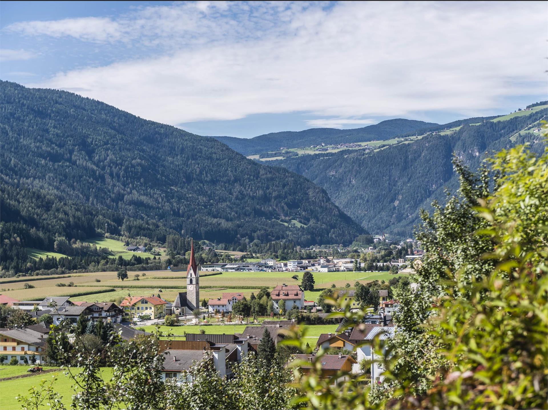
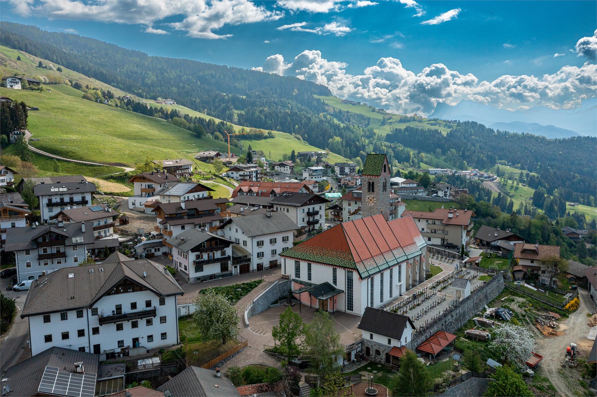
Terenten/Terento, Brixen/Bressanone and environs
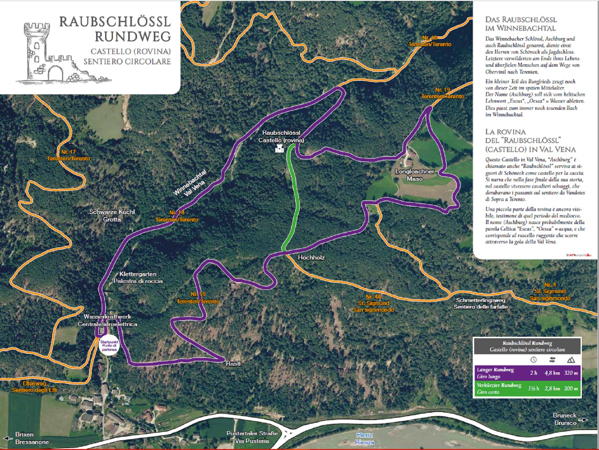
This hiking tour starts at the parking area in the Winnebachtal valley. You will find the Witches Stone alonge the path nr. 23 (suitable to buggies) which leads to the Astnerberg Alm hut.
This very interesting stone is a bowl-stone. According to the narrations, on this stone the witches used to dance with the devil. Their foot imprints can still be seen. The hut offers a nice solar terrace with children's playground and a small animal enclosure. Accessible also with a buggy or for mountain bikers and riders.
This very interesting stone is a bowl-stone. According to the narrations, on this stone the witches used to dance with the devil. Their foot imprints can still be seen. The hut offers a nice solar terrace with children's playground and a small animal enclosure. Accessible also with a buggy or for mountain bikers and riders.