Passer au contenu
ajouté(e) aux favoris
supprimé(e) des favoris
Oups ! Une erreur s’est produite. Réessayer
Ton compte est en cours de création
Ton compte a été créé avec succès et tu es maintenant connecté
Tu es déconnecté
Filtrer
Filtres sélectionnés
    Niveau de difficulté
    Durée
    Distance en km

    Vacances à Bressanone et dans les environs

    On peut être actif à toutes les altitudes dans la vallée de l'Isarco. Des sentiers pour les randonneurs et les cyclistes serpentent à travers la plaine de la vallée, passent devant des châteaux et des forteresses, traversent des vignobles et des vergers, montent vers des alpages ensoleillés jusqu'au royaume des Dolomites. Les 33 circuits répondent aux exigences élevées d'une expérience complète. Les terres cultivées par les agriculteurs, les prairies alpines en fleurs et les fiers sommets constituent le décor de ces 33 idées de randonnées dans la vallée d'Isarco. Ces circuits, sélectionnés par les stations touristiques respectives, traversent des régions méditerranéennes et alpines. Le point de départ et le point d'arrivée se trouvent au même endroit, le parcours et le temps de marche varient. Le long du chemin, des monuments d'art et de nature, des curiosités culturelles, des points de vue et des refuges rustiques invitent à faire une pause.

    Résultats
    Running and fitness
    Brixen Dolomites Marathon – Dolomites Ultra Trail
    Brixen/Bressanone, Brixen/Bressanone and environs

    The Dolomites Ultra Trail is a running event in the heart of the Dolomites UNESCO World Natural Heritage. It takes place on public, not closed roads, forest and hiking trails, on alpine and partly high alpine climbs. Since 26. 06. 2009 the Dolomites belong to the UNESCO World Natural Heritage, whose protection and preservation is a common cultural concern. Unique mountain landscapes of extraordinary beauty will be passed through, the monumental and colourful landscape of the Dolomites will fascinate the participants.

    The Dolomites Ultra Trail starts in Brixen at 560 meters above sea level. The route follows forest, meadow and forest paths via Afers (10 km) to Russikreuz (20 km). Continue on hiking trails to the Schlütter Hut (28 km), high alpine climbs to the Puez Hut (39 km) and again on hiking trails down to Campill (47 km). Here it goes again on beautiful climbs up to the Fornella Hhut (57 km), further to the Rossalm to Kreuztal (71 km). The final descent on hiking trails leads directly to the starting point in Brixen (84 km).

    Difficulté : difficile
    5205 altitude
    2h:43 min durée
    Hiking
    Mills trail & earth pyramids
    Terenten/Terento, Brixen/Bressanone and environs
    From the car park in the village centre you hike in a north-westerly direction for 100 m along the Strada del Sole Road until you reach the Ternerbach River. This is the start of the educational mills path. Follow the sign-posts. At half way you reach  the pyramids. After approximately 10 min. you will get to the 5 main mills. At Hansleitner Mill you can cross the bridge leading to the other side of the river. You hike past an old farm and reach the ski lift. From here you take the field path back to the village centre. You will get to Hotel Wiedenhofer and back to the Strada del Sole Road. Duration: 1,5 h
    Difficulté : facile
    235 altitude
    1h:30 min durée
    Running and fitness
    Brixen Dolomites Marathon
    Brixen/Bressanone, Brixen/Bressanone and environs

    It starts at 560 m altitude, in the historic cathedral square of Bressanone, to reach the summit of Mount Plose, at an altitude of 2,450 m, after having covered exactly 42.195 km and overcome 2,450 m of altitude difference.

    The route runs through forests and meadows, with stretches also on asphalt roads up to S. Andrea (1,062 m). Then continue on paths and forest roads until Eores (1,504 m). With a view of Sass Putia and the Dolomites, the run continues on asphalted roads, entering the valley and climbing up to the Rossalm refuge. From there, always on paths and forest roads you reach Valcroce (2,050 m). From the hiking trail that leads to Malga Buoi you can appreciate the magnificent view of the valley floor and the start in Bressanone, before tackling the last 3.2 km and 400 m of altitude difference.

    At the finish line the spectacular panorama of the surrounding mountains will take the runners' breath away.  A double emotion for all athletes: a challenging marathon and a panorama that repays all the efforts made - that is "running to the limits".

    Difficulté : difficile
    2421 altitude
    13h:37 min durée
    Hiking
    The Birmehl Trail
    Feldthurns/Velturno, Brixen/Bressanone and environs

    The “Birmehl” trail begins in the village centre of Verdings and leads through the arid meadows of the southern side of the church hill down to the hamlet of Pardell and from there up to the beautifully situated Moar zu Viersch farm. An old cobblestone path takes you back to your set-off point.

    Difficulté : moyenne
    191 altitude
    1h:01 min durée
    Hiking
    To the Villanders mine
    Villanders/Villandro, Brixen/Bressanone and environs
    This hike is not only interesting for amateur mineralogists, but it is also very rewarding scenically. The Villanders mine was one of the best known and most profitable mines in Tyrol and it dates back to the 12th century.
    Difficulté : moyenne
    790 altitude
    3h:19 min durée
    Hiking
    Hike to the Mountain Station Jochtal
    Mühlbach/Rio di Pusteria, Brixen/Bressanone and environs
    Starting off from the Jochtal lift valley terminal, follow the Dynafitweg trail that leads uphill towards the Nockalm hut and to the mountain station Jochtal. In winter this trail is used as a ski tour trail.
    Difficulté : moyenne
    638 altitude
    2h:04 min durée
    Hiking
    Path of Reflection St. Zeno/Terenten
    Terenten/Terento, Brixen/Bressanone and environs

    Reflection Path of the 7 Sorrows of Mary
    Since ancient years many cultures have realised pilgrimage trails to places where the Divine can be experienced in a very special way. The oldest church of Terenten, St. Zeno in Pein, is such a divine place. The chapel was constructed in the area of a prehistoric settlement from the 12th century with the aim of building a Christian church on top of a pagan worship. The path is not only a walking trail for locals and tourists; it is a path of reflection dedicated to the suffering of Jesus and the sorrows of Mary.
    1st Sorrow: The prophecy of Simeon; 2nd Sorrow: Flight into Egypt; 3rd Sorrow: The Loss of Jesus in the Temple of Jerusalem; 4th Sorrow: Mary meets Jesus on the way to the cross; 5th Sorrow: Jesus Dies on the Cross; 6th sorrow Mary receives the dead body of her son; 7th Sorrow: Jesus is laid in the tomb.

    Difficulté : facile
    11 altitude
    0h:19 min durée
    Mountaineering
    The Brixen high-mountain trail
    Brixen/Bressanone, Brixen/Bressanone and environs

    Mountain hike crossing the Plose and way back on the Zirm high level path. From the top station of the cable car northwards, next to the fence, there is path n. 7 which crosses the south-east hillside of Schönjöchl and takes you to the same named saddle. Continuing close to the fence it takes you to the Plose hut (2445 m). Just a few hundred meters away there is Mt. Telegraph with the panoramic table. From there you can enjoy the spectacular 360° view of the Dolomites and Zillertaler Alps – all in all over 100 peaks. For the descent to Ochsenalm (path n. 6) a sure foot is requested. Once you have reached Ochsenalm, you follow path n. 30, the Brixen High Level Path, all the way back to the cable car.

    Difficulté : moyenne
    450 altitude
    5h:00 min durée
    Hiking
    To the barbian waterfalls
    Barbian/Barbiano, Brixen/Bressanone and environs

    The fresh mountain waters of the Ganderbach mountain torrent (2,000 m) cascade down the Barbian Waterfalls from the Barbianer Alm high moors. The hike to the waterfalls from the town of Barbian/Barbiano is along a narrow and partly secured trail.

    Difficulté : facile
    388 altitude
    1h:40 min durée
    Restaurants & Taverns
    Trametschhütte
    Brixen/Bressanone, Brixen/Bressanone and environs
    You will find us on the Plose, the local mountain of Brixen, where the Eisack valley displays its natural beauty and heaven and earth are particularly close. Dark forests and soft meadows are our only neighbors. The Trametsch mountain hut – led by Roswitha and Andreas Ellemund- is above Plose valley station and is easily accessible to visitors by car (large car park), as well as to hikers and skiers. As restaurant located right at the bottom of the mountain, we are open all year round. In addition to daily activity, our restaurant in Brixen at the Plose is available also for diverse celebrations and events.
    Local tours
    Medieval Sightseeing Walk in Klausen/Chiusa
    Klausen/Chiusa, Brixen/Bressanone and environs

    The little town of Chiusa, wedged into the Eisacktal valley between the main road and the Brenner Pass motorway, is often overlooked by the cars whizzing by - but this is a mistake. The town centre boasts an astonishing wealth of medieval architectural treasures. Anyone embarking on this medieval tour should therefore allow enough time to immerse themselves in the history of the town of Chiusa. There is a lot to see: the crypt, the parish church, the old Town Hall, to name just a few. And when you're tired of walking, you'll find plenty of cafés and restaurants hidden behind the ancient façades.

    Difficulté : facile
    10 altitude
    0h:21 min durée
    Restaurants & Taverns
    s'Pfandl
    Mühlbach/Rio di Pusteria, Brixen/Bressanone and environs
    Our bar is near the vallystation Gitschberg Meransen
    Running and fitness
    Brixen Dolomites Marathon – Ladinia Trail
    Brixen/Bressanone, Brixen/Bressanone and environs

    he LadiniaTrail is a unique 29 km trailrun in the heart of the Dolomites UNESCO World Natural Heritage. It takes place on public, not closed roads, forest and hiking trails, on alpine and partly high alpine climbs. Unique mountain landscapes of extraordinary beauty will be passed through, the monumental and colourful landscape of the Dolomites will fascinate the participants.

    he LadiniaTrail starts in St. Martin in Thurn at 1.127 m above sea level. The route leads on forest roads to the Gommajoch (12 km) and on to the Fornella Hut (15.3 km). From there you continue on hiking trails to the Tauberhütte (23.1 km) and to the Rossalm (26.4 km). On an alpine trail the final climb leads to the Plose (29 km).

    Difficulté : moyenne
    5205 altitude
    2h:43 min durée
    Mountain Huts & Alpine Farms
    Bergrestaurant Jochtal
    Mühlbach/Rio di Pusteria, Brixen/Bressanone and environs
    The Bergrestaurant Jochtal is located directly on the slope and also the funicular and so it has a perfect posiotion. The kitchen is open continuously. The opening hours in summer are the same as those of the funicular and the opening hours in winter are the same as those of the skiing area. You can also reach the Bergrestaurant Jochtal from the carpark in Vals in about 2 hours.
    Restaurants & Taverns
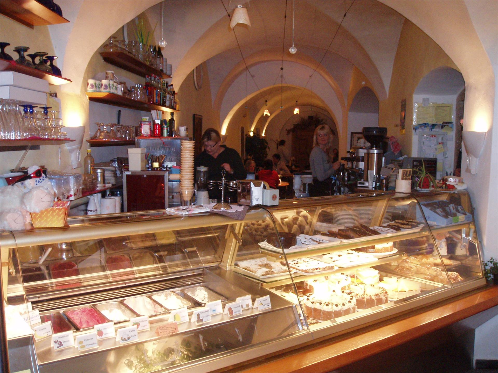
    Domcafé
    Brixen/Bressanone, Brixen/Bressanone and environs
    Room with 2/4 beds, Bathroom and living room Only a minute´s walk from the City Center,10 minutes to the countryside. Breakfest from our own pâtisserie includet. Packet lunch on request
    Hiking
    Hiking tour Lake Puntleid-Ponteletto
    Sarntal/Sarentino, Brixen/Bressanone and environs

    This is recommended during early Spring when the Alpine rose is blossoming and in Autumn when the bright yellow larch trees are reflecting in the lake.

    Near the group of houses just above Grasstein (866 metres), there is an Alpine path (first # 15, then # 14) running through the steep woods up to the Puntleider Alm (1,777 metres, also Seealm, snack bar). From there, path # 14 leads you in a southerly direction to Lake Puntleiden (1,847 metres). Descend on the same route.
    Difficulté : moyenne
    891 altitude
    2h:49 min durée
    Restaurants & Taverns
    Rodeneggerhof
    Rodeneck/Rodengo, Brixen/Bressanone and environs
    Markus, the cook, spoils you culinarily with Italian specialities, with the international cuisine and with the traditional Tirolean plain fair.
    Restaurants & Taverns
    Ahner Berghof
    Rodeneck/Rodengo, Brixen/Bressanone and environs
    Guests can enjoy great views of the surrounding mountains and the whole Eisack valley from the sun terrace of Ahner farm. Inside, the panelled dining room provides a cosy setting. The delicious first course dishes are a highlight. Open all year round. Prior reservation desired.
    Hiking
    Barbian/Barbiano - Dreikirchen/Trechiese
    Barbian/Barbiano, Brixen/Bressanone and environs

    We start from the village place near the church. Then we go to the Raiffeisenkassa, in north direction. At this point it starts the hiking trail nr. 3 - 11. The first part of this trail is an asphaltic road. We go at the end of this road and there beginns an olt stone-flagged trail.
    Then we continue on an old, paved path, cross the next asphalt road and walk into the forest. About the beautifully landscaped trail with Mark. 11 we get to the sports zone and finally to a forest path. Here begin a forest road that pass on the Dreikirchen/Trechiese. For the return we choose first the trail in the forest nr. 6. After we go ahead on the trail nr. 3 ("Feistegg") until the "Wieserhof". He is located on the street (nr.6a). We go ahead on the street until a branch. Here we have to change to the "Wasserfallweg", that lead us back to the village.

    Difficulté : facile
    308 altitude
    1h:06 min durée
    Hiking
    Hike to the Brixner hut
    Pfitsch/Val di Vizze, Brixen/Bressanone and environs
    Cross the quaint mountain village of Fane Alm, continue through the Schramme gorge and on along the uphill trail that leads to the Brixner hut. The Brixner hut is located on the Pfunders high mountain trail.
    Difficulté : moyenne
    580 altitude
    1h:49 min durée
    Hiking
    Hike to the Tschiffernaun hut
    Mühlbach/Rio di Pusteria, Brixen/Bressanone and environs
    Starting from the Fane Alm car park, take the forest road leading to Fane Alm, then turn right onto the mountain road towards the Tschiffernaun hut. The landscape is characterised by woodland at first; then, when you reach the Stin hut, the wood gives way to vast alpine meadows.
    Difficulté : moyenne
    504 altitude
    1h:34 min durée
    Restaurants & Taverns
    Flötscherhof
    Natz-Schabs/Naz-Sciaves, Brixen/Bressanone and environs
    Back from the mountain, a bike ride in our beautiful surroundings or from a shopping session you would definitely enjoy to relax at the table and taste a good wine and great food.
    Restaurants & Taverns
    Raststätte Lanz
    Natz-Schabs/Naz-Sciaves, Brixen/Bressanone and environs
    Viaggiare sarebbe più lento e piacevole, se ci fossero più aree di servizio come la nostra: strutture innovative, curate in ogni più piccolo dettaglio, adibite alla doppia funzione di punto di vendita di specialità gastronomiche regionali e moderna area di servizio.
    Hiking
    Barbiano - Huber Kreuz - Corno di Sotto
    Barbian/Barbiano, Brixen/Bressanone and environs

    We start from Barbian/Barbiano and take the trail nr. 3 and then 11 to Dreikirchen/Trechiese. From there we follow the way nr. 4 until the parking place "Huber Kreuz". We take the forest road to the direction of "Pian" and follow the trail 3B and 3A to the "Unterhornhaus" and "Felturnerhütte". For the return we take the tail nr. 15 to the mountain pine distillery and than along the way nr. 3, by which we pass the "Unteraichnerhof", "Nixenteich", "Tröglerhof" and "Wieserhof". We follow this way until we arrive at Barbian/Barbiano.

    Difficulté : moyenne
    0 altitude
    6h:30 min durée
    Hiking
    Skihütte - Valcroce Circular Hiking Tour
    Brixen/Bressanone, Brixen/Bressanone and environs

    Follow the Plosestraße road to the Finktal Valley, then turn right uphill along trail no. 7), This leads partly over the Kreuztal meadows (used as ski slopes in winter). Continue to the east via trail no. 17, known as the "Woody Walk", then to the right descending to the Skihütte mountain restaurant. Return briefly to the paved street, then turn to the left (trail no. 8) on to the forest trail before a last brief stretch on the paved road leading down to the mountain village of Plancios/Palmschoss.

    Difficulté : moyenne
    0 altitude
    3h:10 min durée
    Mountain Huts & Alpine Farms
    Plosehütte CAI
    Brixen/Bressanone, Brixen/Bressanone and environs
    Welcome to the mountain lodge Plosehütte! At the legendary height of 2447 meters above sea level you can spend a wonderful lodge holiday in South Tyrol. Close to the sun, surrounded by alpine scenery and the beautiful Isarco Valley at your feet – we can accommodate groups, families and outdoor enthusiasts. In every season we are a perfect base from which to set off on fantastic nature adventures. The refuge offers an inviting dining room with bar, which can accommodate up to 120 people. Also a traditional parlour (“Stube”) with 40 seats is available at the lodge. A sunny terrace in summer and winter offers guests the opportunity to enjoy the panoramic views and the delicious food.
    Restaurants & Taverns
    Albergo Cavallino
    Barbian/Barbiano, Brixen/Bressanone and environs
    The guest house Rösslwirt is 5 km distant from the state highway Brennero-Bolzano.
    Mountain Huts & Alpine Farms
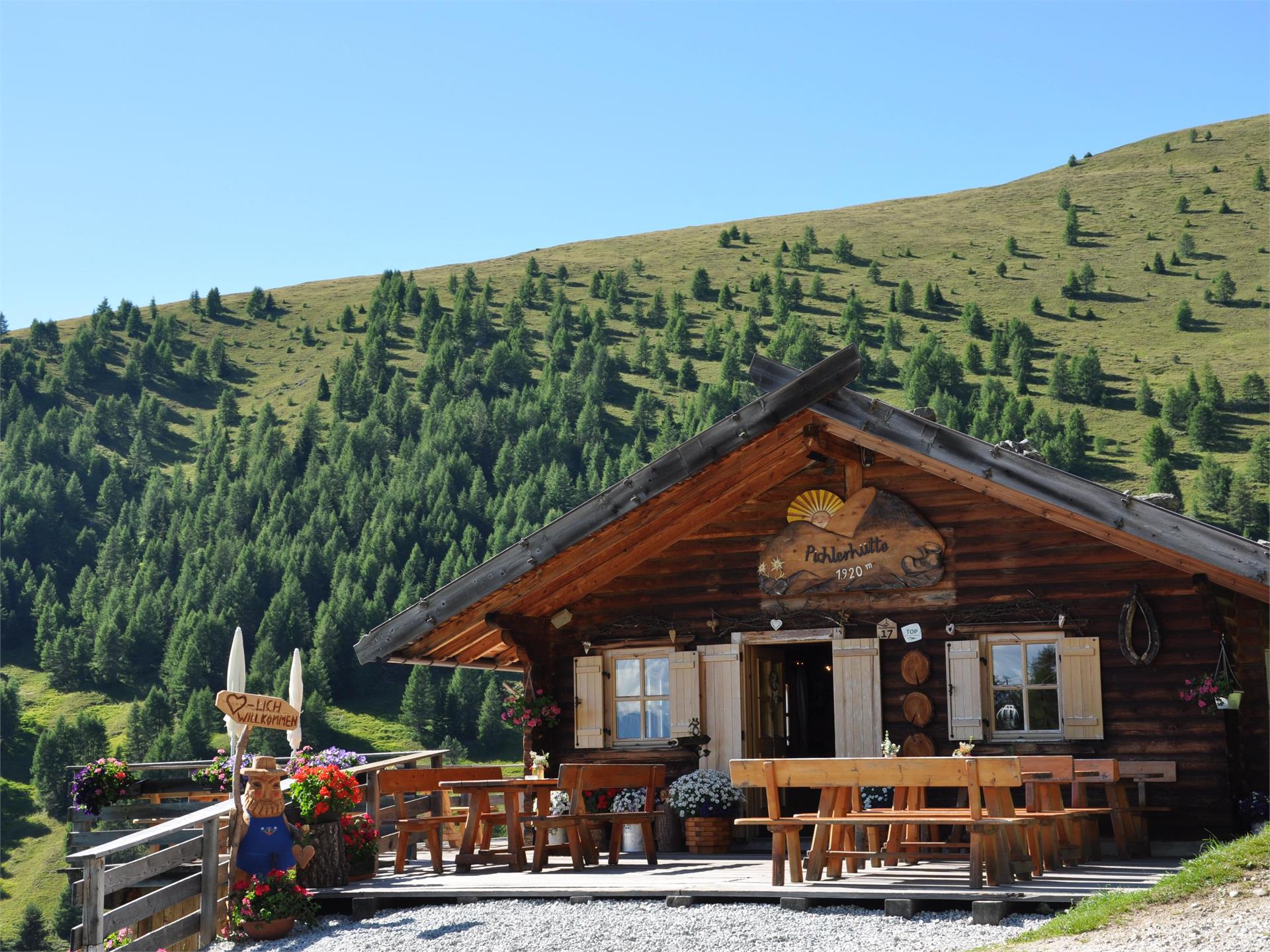
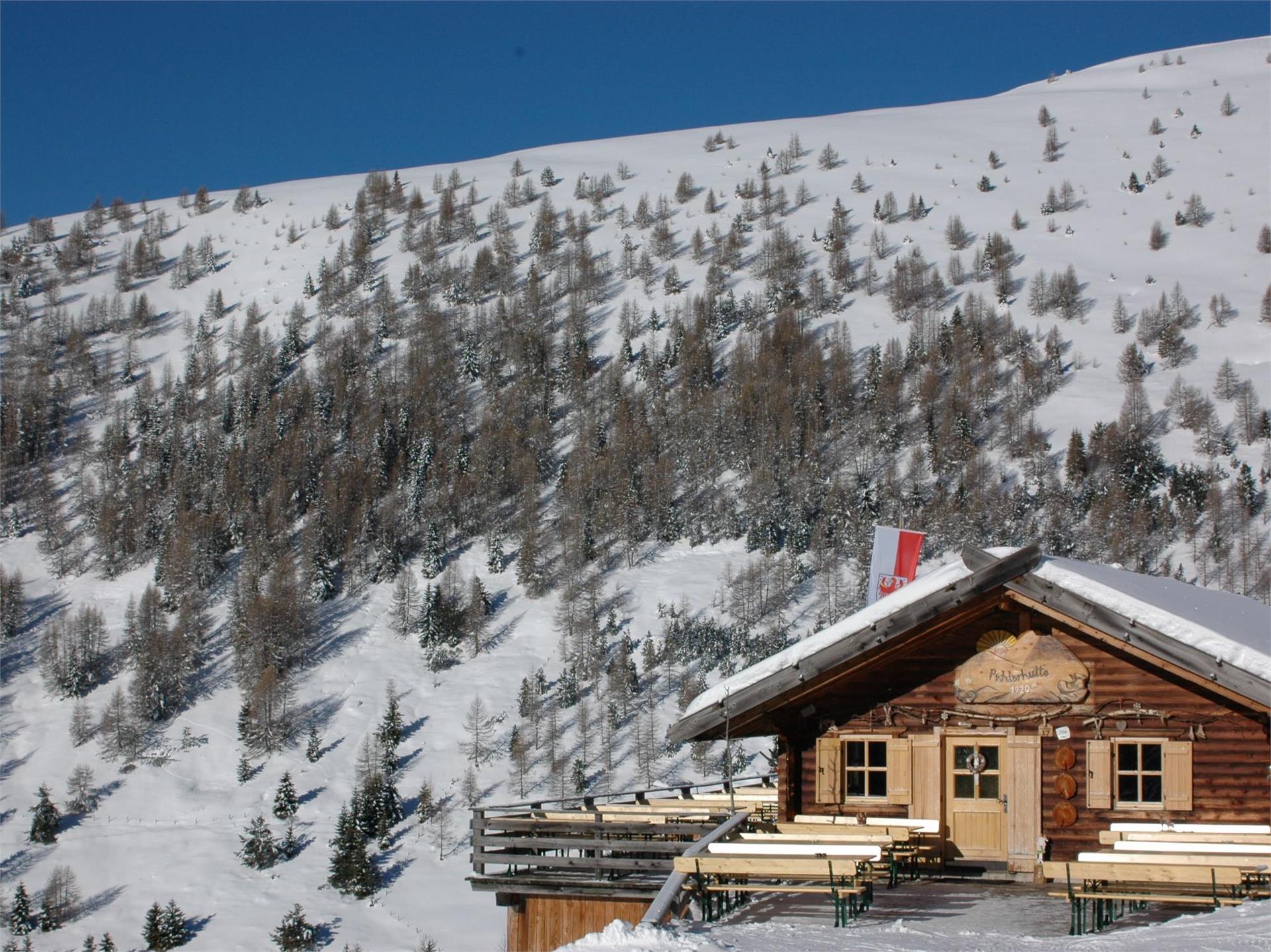
    Pichlerhütte
    Mühlbach/Rio di Pusteria, Brixen/Bressanone and environs
    Our hut is directly on the ski slope with a big terrace, a beautiful panoramic view and continuously warm typical dishes. Open from mid May till mid October. The onpening hours in winter are the same as those of the mountain funicular. You can reach the Pichlerhütte in 1 hour and 40 minutes from the parking lot Gitschberg.