1/4
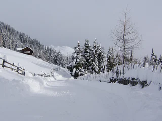
Pertinger Alm Toboggan Run: Winter Fun in Terenten
Terento/Terenten, Terenten/Terento, Brixen/Bressanone and environs
medium
Poziom trudności
0 m
Wzlot
1h:49 min
czas trwania
Brixen i jego okolice oferują różnorodne szlaki, od rodzinnych spacerów po wymagające wspinaczki. Poznaj kulturalne miasta i ciesz się śródziemnomorskimi wpływami. Brixen, Klausen/Chiusa i Sterzing/Vipiteno to miejsca, do których warto się wybrać. Błyszczące bogatą historią, pięknymi atrakcjami i udaną mieszanką zwyczajów i innowacji Przeżyj Törggelen, tradycyjne południowotyrolskie święto z winem, jedzeniem i kasztanami.
1/4
Terento/Terenten, Terenten/Terento, Brixen/Bressanone and environs
medium
Poziom trudności
0 m
Wzlot
1h:49 min
czas trwania
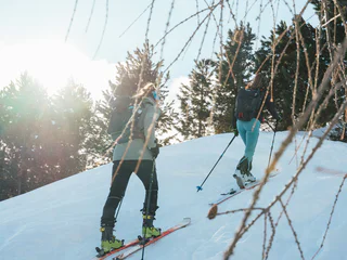
1/2
Valles/Vals, Mühlbach/Rio di Pusteria, Brixen/Bressanone and environs
medium
Poziom trudności
560 m
Wzlot
2h:00 min
czas trwania

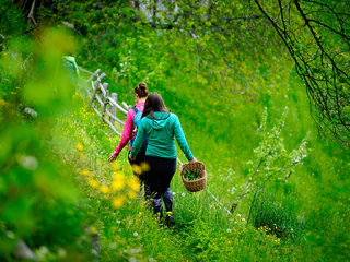
1/2
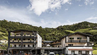
Bressanone città/Brixen Stadt, Brixen/Bressanone, Brixen/Bressanone and environs

S. Maddalena/St. Magdalena - Funes/Villnöss, Brixen/Bressanone, Brixen/Bressanone and environs
medium
Poziom trudności
720 m
Wzlot
6h:30 min
czas trwania
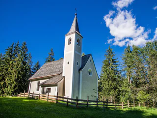
1/3
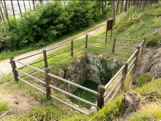
Spelonca/Spiluck, Vahrn/Varna, Brixen/Bressanone and environs
easy
Poziom trudności
145 m
Wzlot
0h:49 min
czas trwania
Bressanone città/Brixen Stadt, Brixen/Bressanone, Brixen/Bressanone and environs
1/2
Alpe di Villandro/Villanderer Alm, Villanders/Villandro, Brixen/Bressanone and environs
medium
Poziom trudności
450 m
Wzlot
2h:46 min
czas trwania
1/19
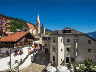
Chiusa/Klausen, Klausen/Chiusa, Brixen/Bressanone and environs
1/2
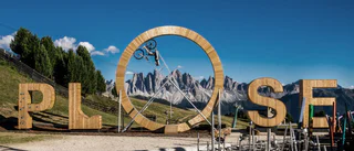
Plose/Plose, Brixen/Bressanone, Brixen/Bressanone and environs
easy
Poziom trudności
0 m
Wzlot
0h:00 min
czas trwania
1/2
Villandro/Villanders, Villanders/Villandro, Brixen/Bressanone and environs
Valles/Vals, Mühlbach/Rio di Pusteria, Brixen/Bressanone and environs
easy
Poziom trudności
0 m
Wzlot
0h:04 min
czas trwania
St. Andrä/S. Andrea, Brixen/Bressanone, Brixen/Bressanone and environs
Monteponente/Pfeffersberg, Brixen/Bressanone, Brixen/Bressanone and environs
easy
Poziom trudności
280 m
Wzlot
2h:00 min
czas trwania
1/2
Novacella/Neustift, Vahrn/Varna, Brixen/Bressanone and environs
easy
Poziom trudności
215 m
Wzlot
1h:46 min
czas trwania
1/3
Barbiano/Barbian, Barbian/Barbiano, Brixen/Bressanone and environs
1/3
Lazfons/Latzfons, Klausen/Chiusa, Brixen/Bressanone and environs
medium
Poziom trudności
539 m
Wzlot
3h:15 min
czas trwania
Alpe di Villandro/Villanderer Alm, Villanders/Villandro, Brixen/Bressanone and environs
medium
Poziom trudności
638 m
Wzlot
3h:00 min
czas trwania
1/3
Maranza/Meransen, Mühlbach/Rio di Pusteria, Brixen/Bressanone and environs
1/3
Barbiano/Barbian, Barbian/Barbiano, Brixen/Bressanone and environs
Bressanone città/Brixen Stadt, Brixen/Bressanone, Brixen/Bressanone and environs
easy
Poziom trudności
286 m
Wzlot
1h:37 min
czas trwania
1/3
Sciaves/Schabs, Natz-Schabs/Naz-Sciaves, Brixen/Bressanone and environs
Bressanone città/Brixen Stadt, Brixen/Bressanone, Brixen/Bressanone and environs
Villandro/Villanders, Villanders/Villandro, Brixen/Bressanone and environs
easy
Poziom trudności
100 m
Wzlot
0h:40 min
czas trwania
1/5
Chiusa/Klausen, Klausen/Chiusa, Brixen/Bressanone and environs
1/2
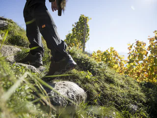
Velturno/Feldthurns, Feldthurns/Velturno, Brixen/Bressanone and environs
medium
Poziom trudności
249 m
Wzlot
2h:02 min
czas trwania

1/8
Albes/Albeins, Brixen/Bressanone, Brixen/Bressanone and environs
Vandoies di Sopra/Obervintl, Vintl/Vandoies, Brixen/Bressanone and environs
St. Andrä/S. Andrea, Brixen/Bressanone, Brixen/Bressanone and environs
Brixen Stadt/Bressanone città, Brixen/Bressanone, Brixen/Bressanone and environs
1/3
Fundres/Pfunders, Vintl/Vandoies, Brixen/Bressanone and environs
medium
Poziom trudności
600 m
Wzlot
6.4 Km
odległość
Dziękujemy za zapisanie się!
Subskrypcja jest już aktywna
Potwierdź rejestrację
Aby zakończyć rejestrację, otwórz e-mail, który właśnie wysłaliśmy, i kliknij link potwierdzający.
Nie widzisz wiadomości? Sprawdź folder spam.
Zauważyliśmy, że próbowałeś(-aś) zapisać się do newslettera, ale Twój adres e-mail jest już zarejestrowany. Nadal będziesz otrzymywać nasze oferty, wskazówki i inspiracje na Twój urlop.
Już próbowałeś zapisać się do naszego newslettera, ale nie potwierdziłeś rejestracji. Właśnie wysłaliśmy ci ponownie e‑mail. Sprawdź swoją skrzynkę odbiorczą i folder ze spamem i potwierdź teraz.


