Summer
Schlanders/Silandro, Vinschgau/Val Venosta
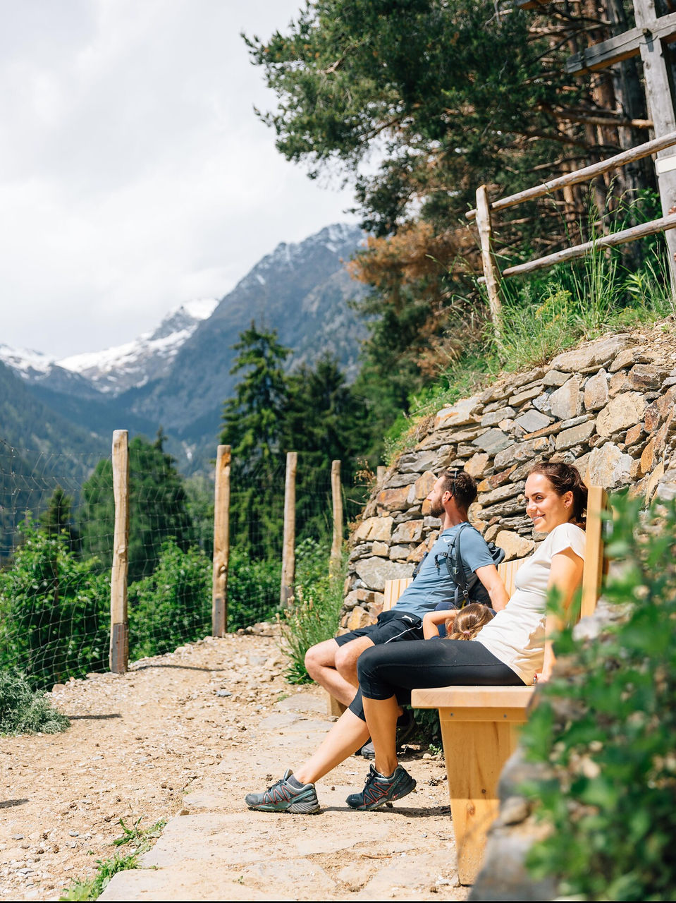
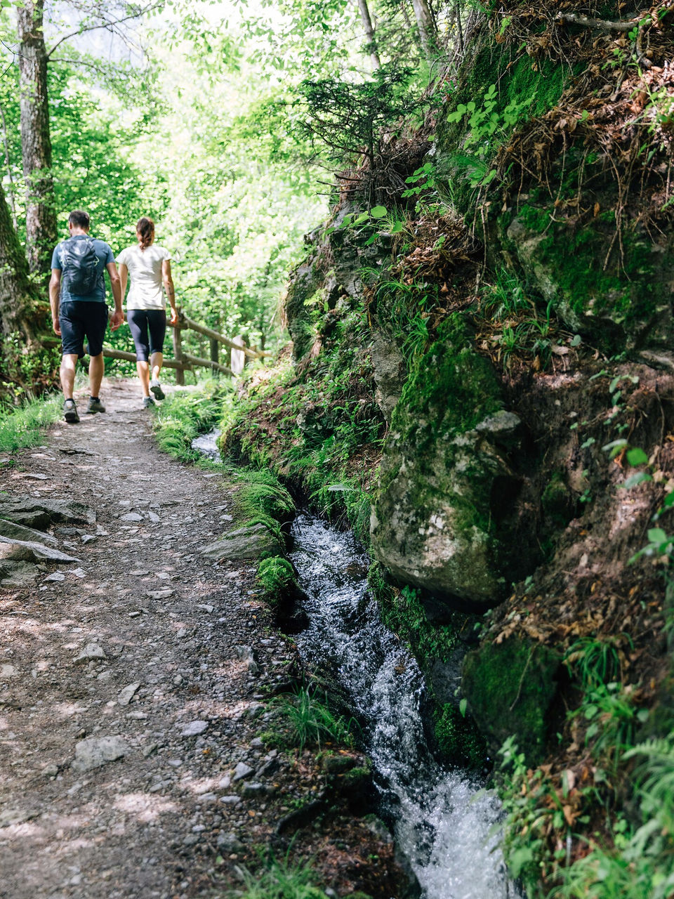
Experience the Mediterranean on Zaalwaal trail above Kortsch. Take in the chatter of water among the chestnut trees, stone terraces, and orchards and a striking view of Jennwand and Laaser Spitze mountains.
Refreshment stop: In the inns in Kortsch
Water flow: May-October
Refreshment stop: In the inns in Kortsch
Water flow: May-October