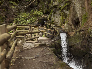

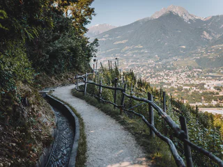
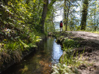
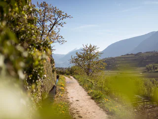
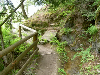
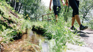
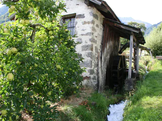
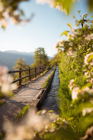
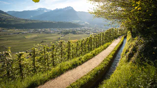
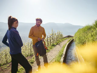
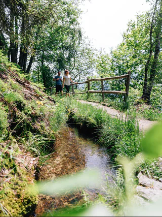
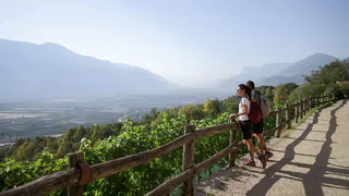
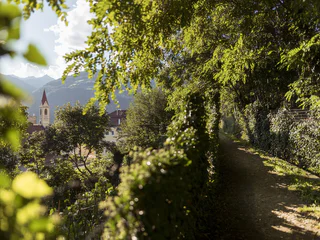
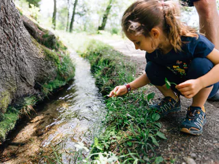
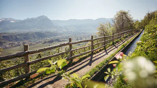
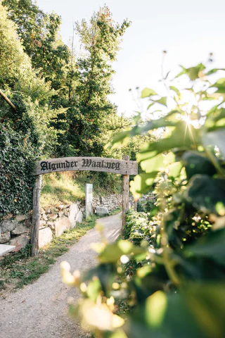
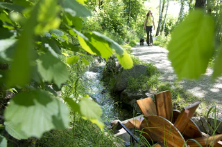
Der Weg am Wasser war ursprünglich dem „Waaler“ (Wasserhüter) vorbehalten, der für die Wartung des Waales sorgte und kontrollierte, dass jeder Bauer nur die ihm zustehende Wassermenge für eine bestimmte Zeit aus dem Waal entnahm. Heute sind die eben verlaufenden Wege entlang des Wassers beliebte Spazierwege. Durch Wälder, vorbei an Apfelwiesen oder Weinreben erlebst du auf den Waalwegen Südtirols Kulturlandschaft aus nächster Nähe. 2022 wurde das traditionelle Bewässerungssystem der Malser Haide mit der „Grünen Fahne“ prämiert. Diese wichtige Auszeichnung wird jedes Jahr vom italienischen Umweltverband „Legambiente“ für innovative Praktiken und Systeme vergeben, die für hohe ökologische, landschaftliche und kulturelle Qualität stehen.
1/4
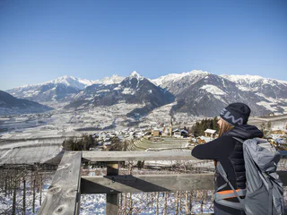
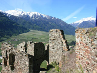
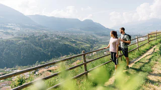
Riffianer Waalweg Trail
Rifiano/Riffian, Riffian/Rifiano, Meran/Merano and environs
easy
Obtížnost
239 m
Převýšení
1h:18 min
doba trvání


