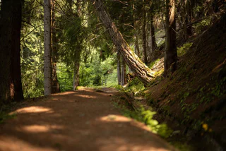
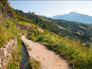
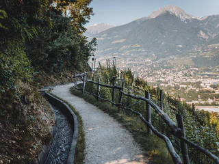
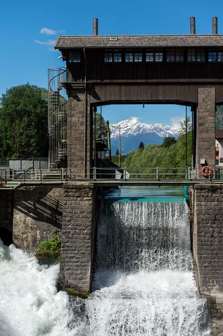
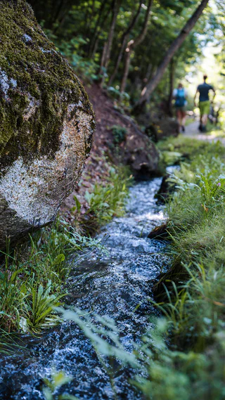
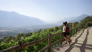
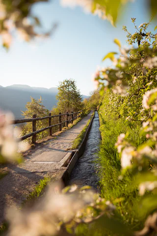
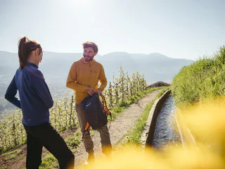
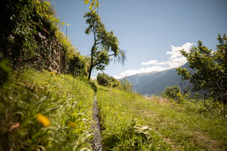
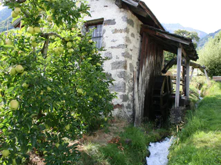
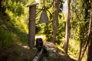
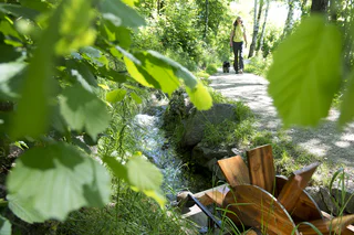
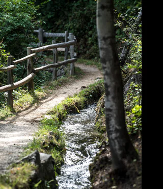
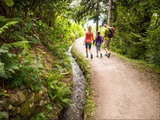
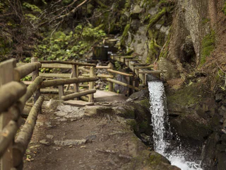
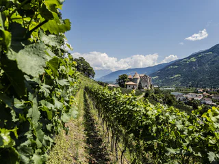
The path along the water was originally reserved for the "Waaler" (water keeper), who was responsible for the maintenance of the Waal and controlled that each farmer only took the amount of water he was entitled to from the Waal for a certain time. Today, the flat paths along the water are popular walking trails. Through forests, past apple orchards or vineyards, you can experience South Tyrol's cultural landscape up close on the Waal paths. In 2022, the traditional irrigation system of the Malser Haide was awarded the "Green Flag". This important award is given every year by the Italian environmental association "Legambiente" for innovative practices and systems that stand for high ecological, scenic and cultural quality.

Tour Ramini-Montani
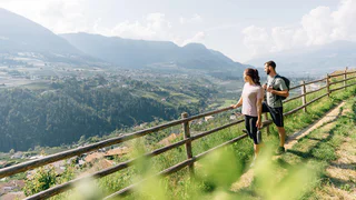
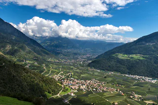
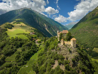
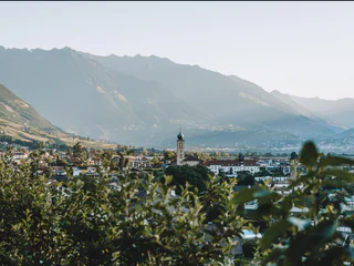
Tarres/Tarsch, Latsch/Laces, Vinschgau/Val Venosta
medium
Difficulty
493 m
Elevation gain
3h:32 min
duration


