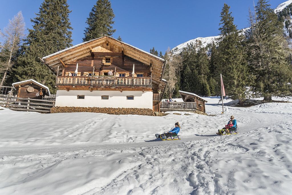
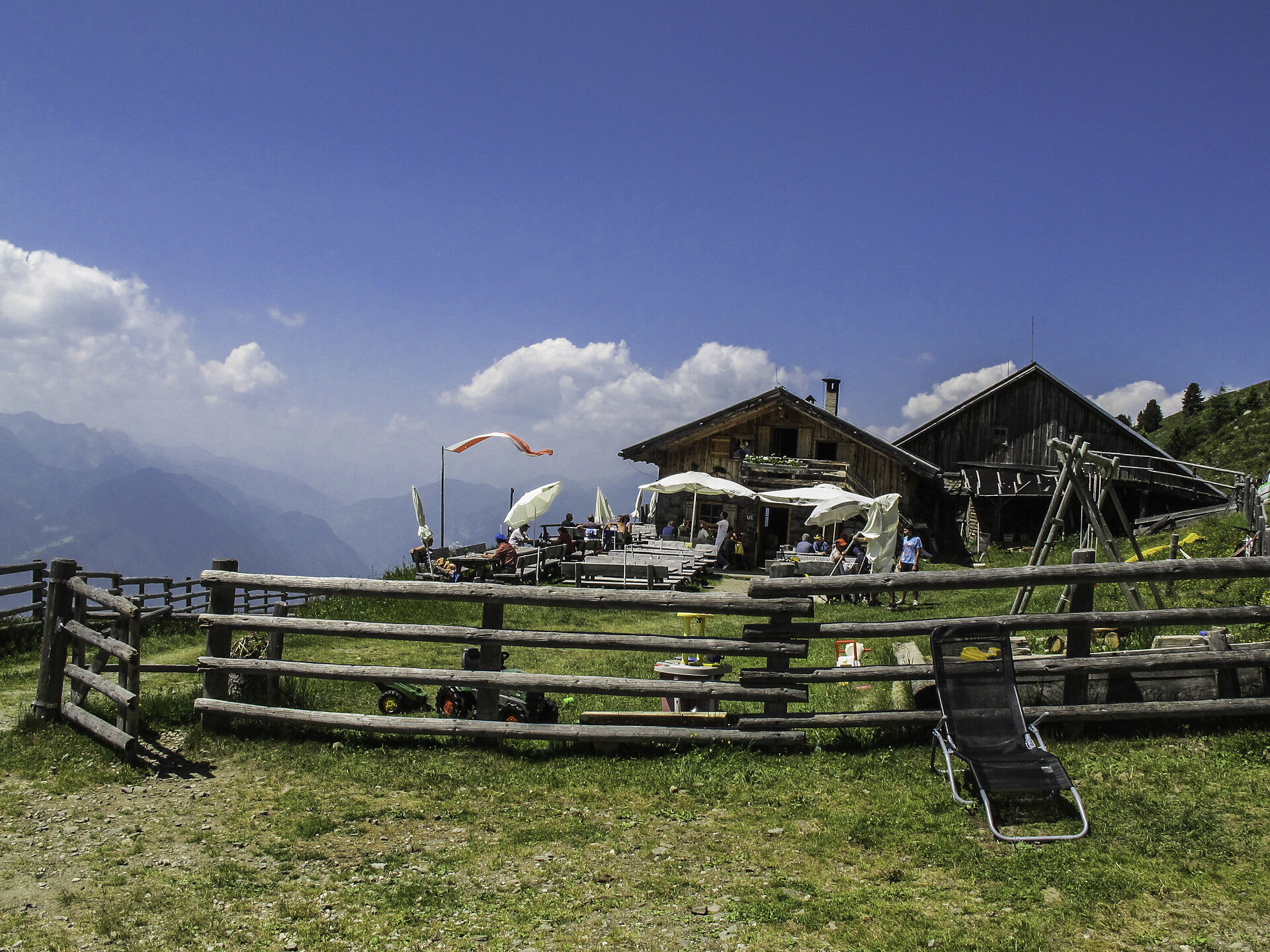

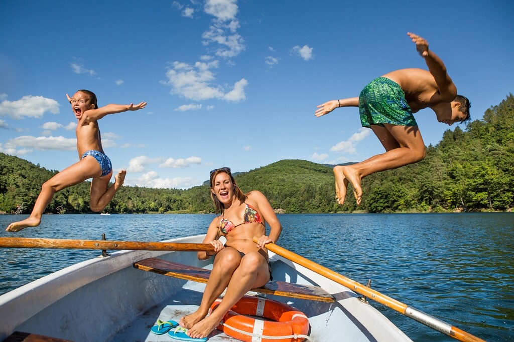
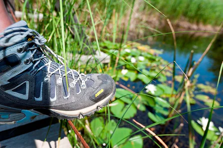


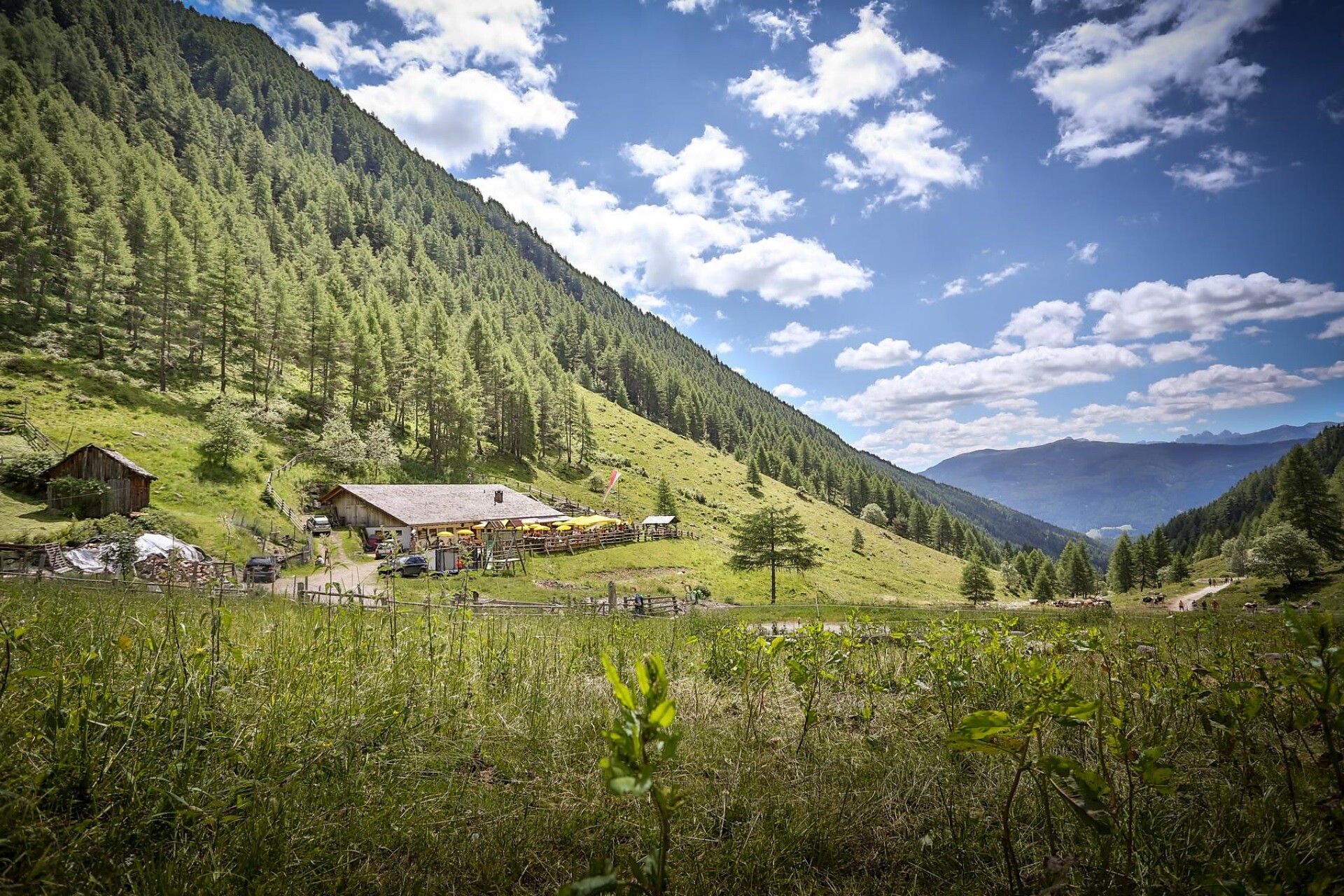
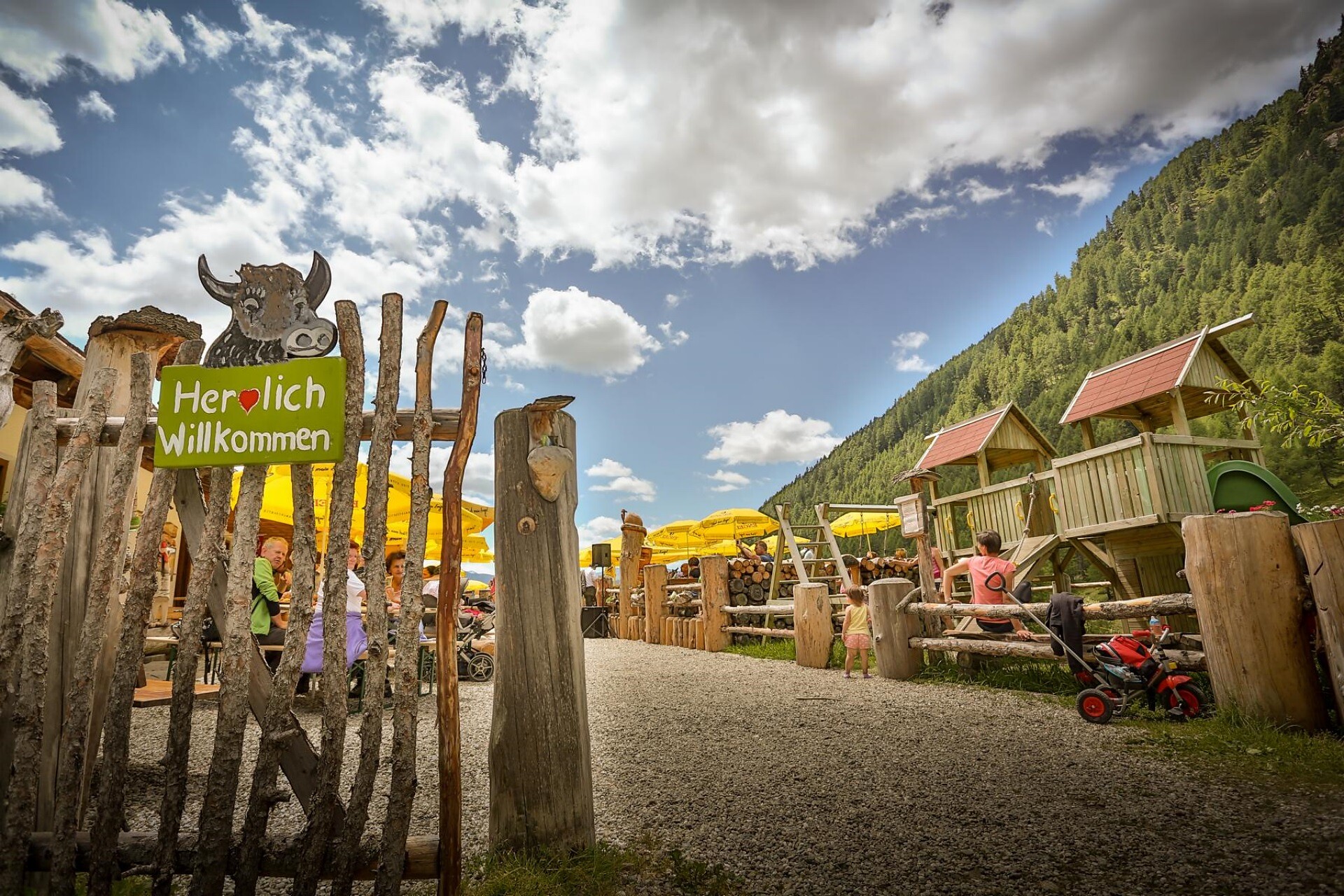
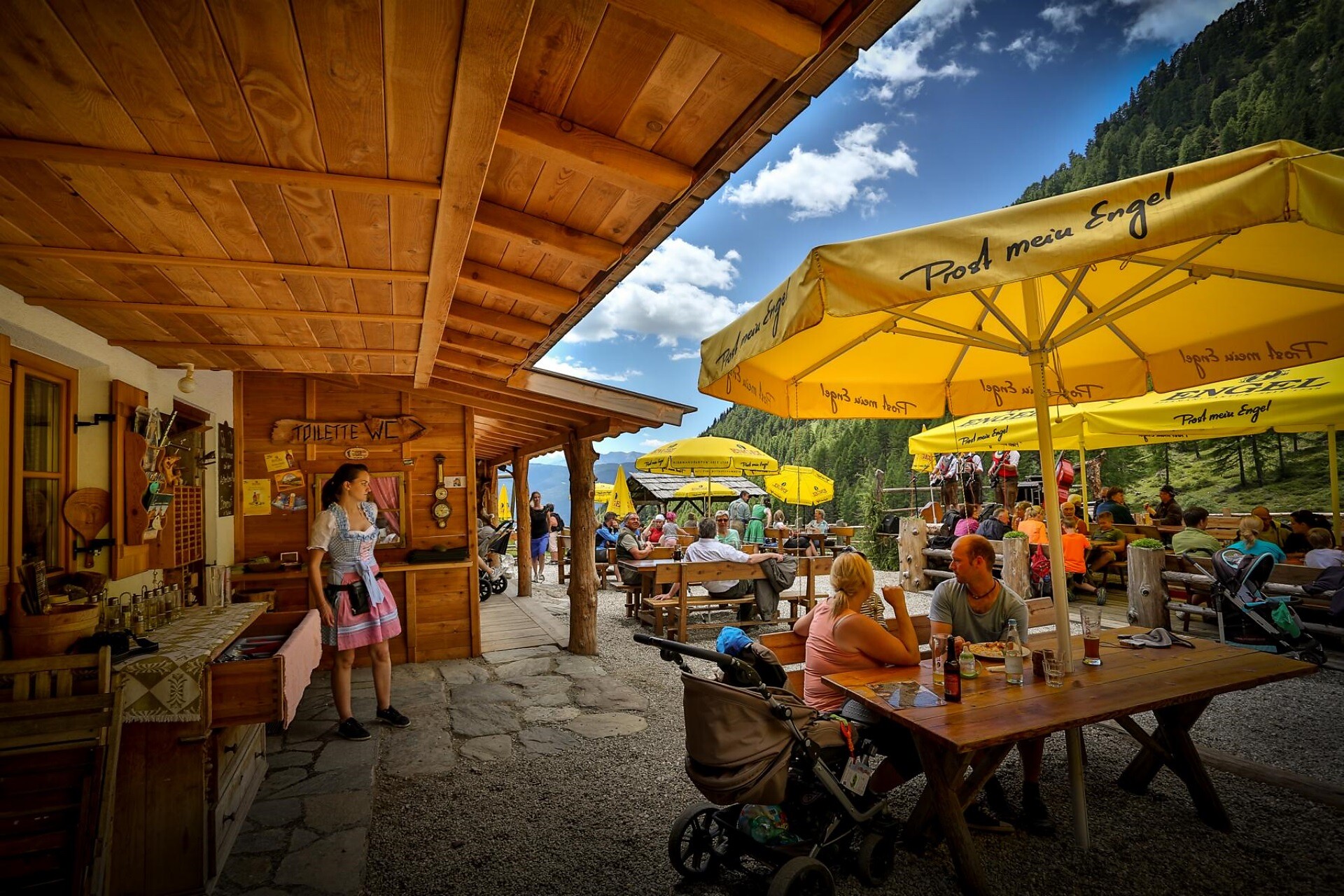

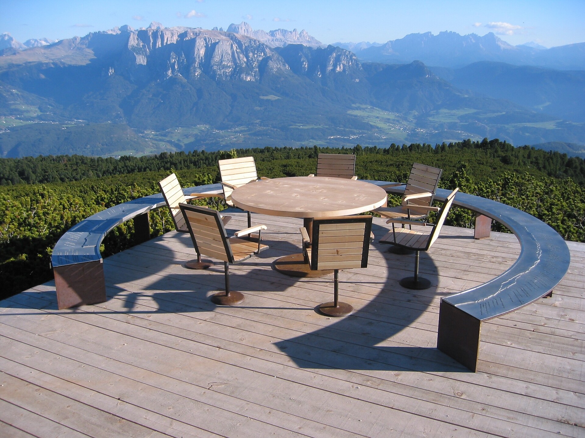
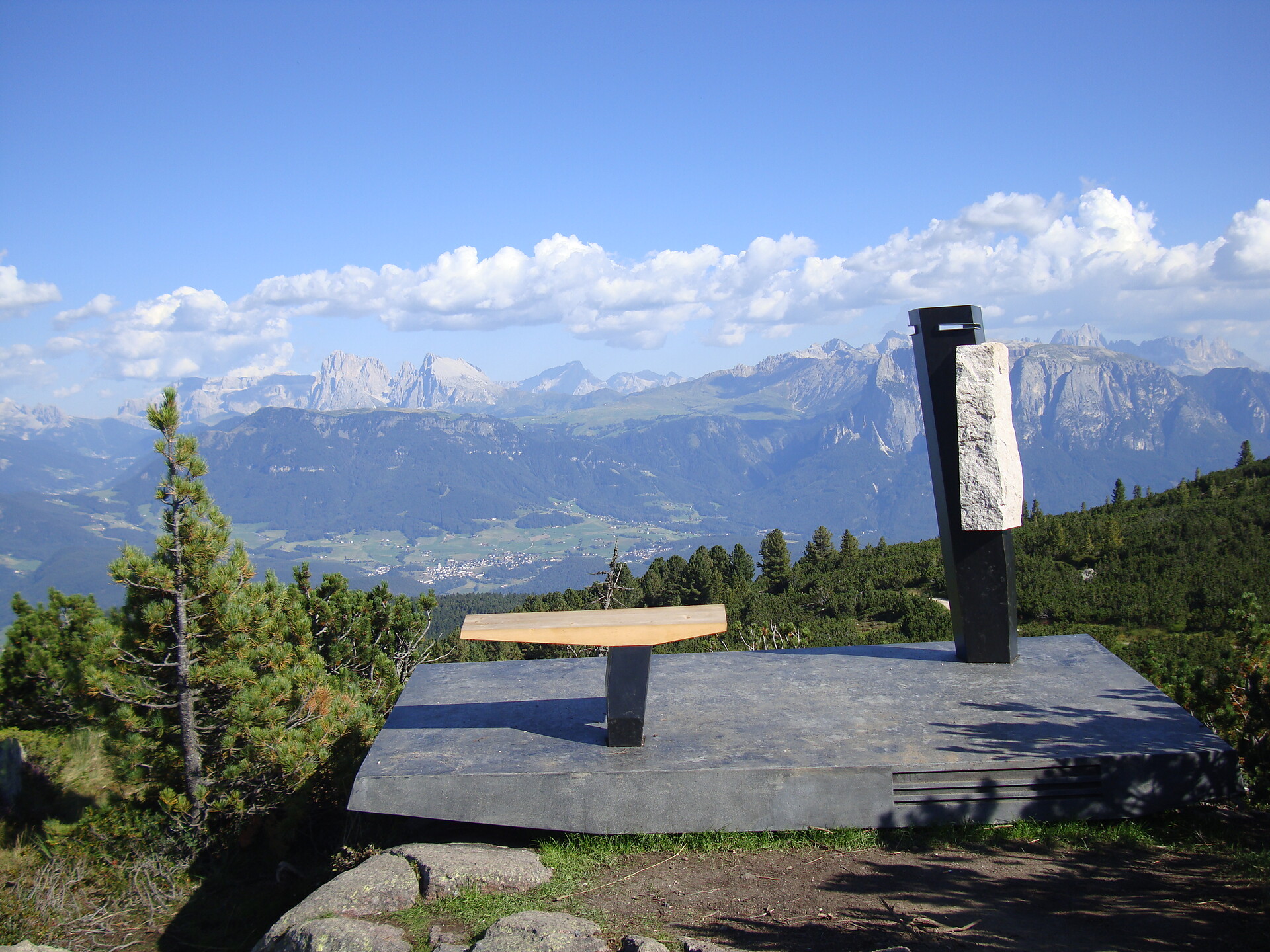
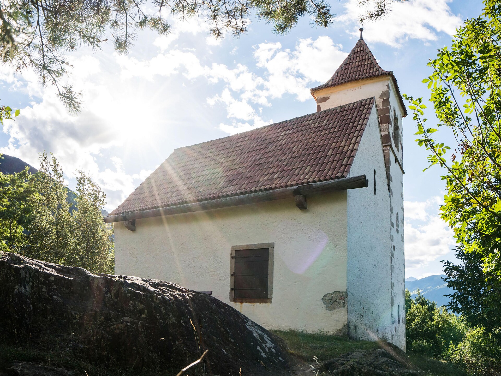
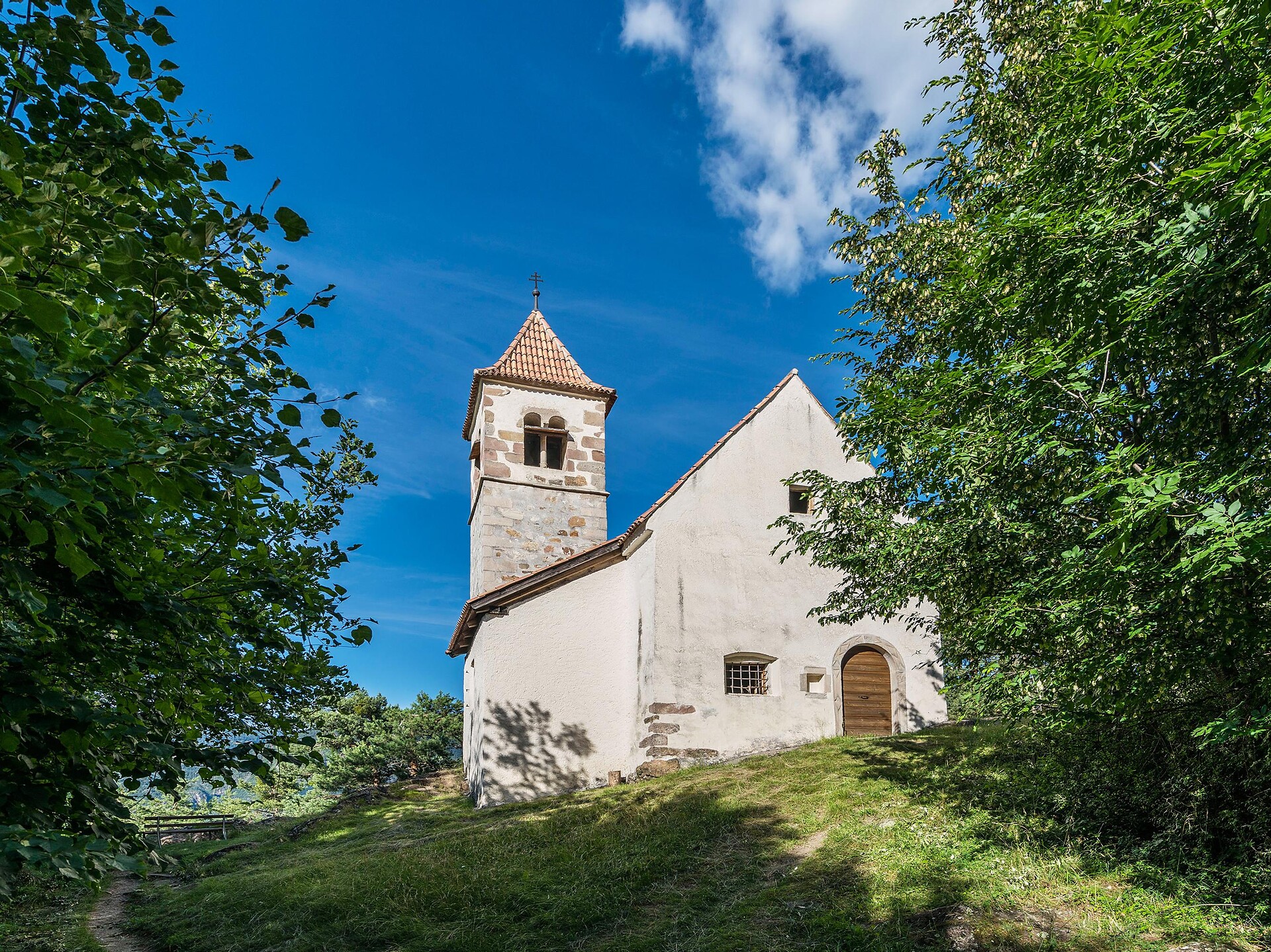
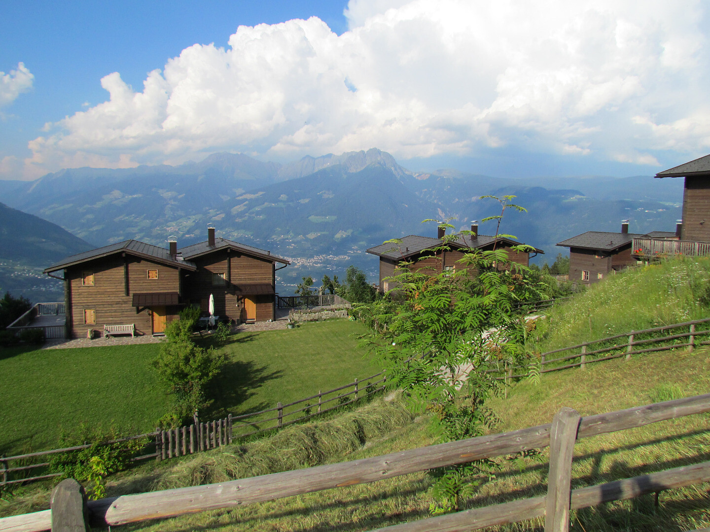
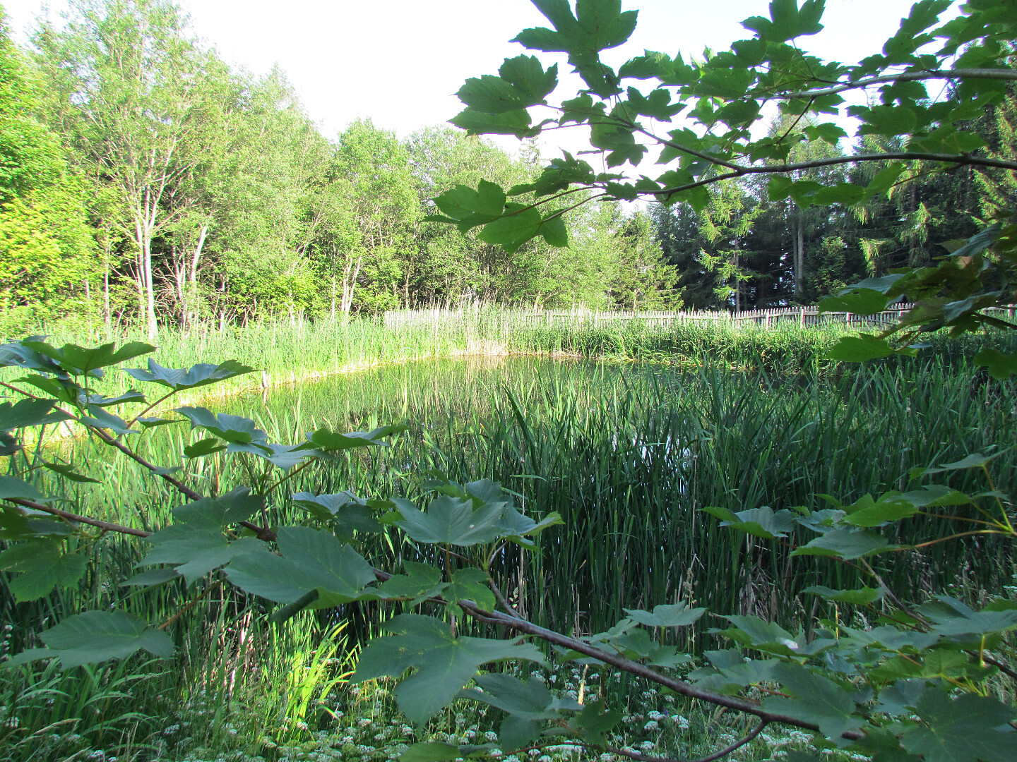
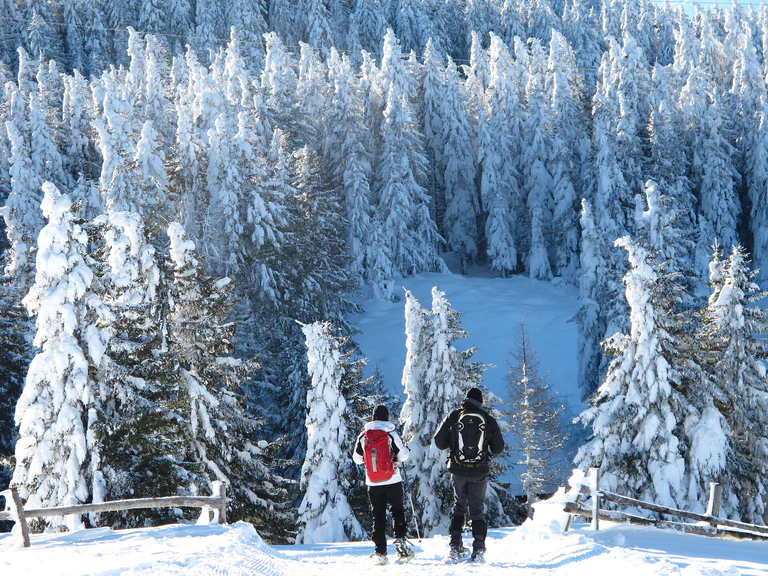
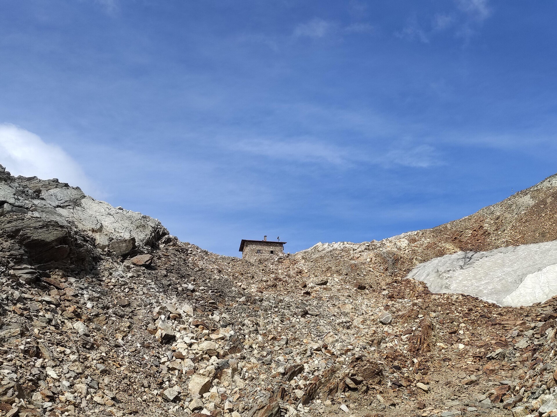
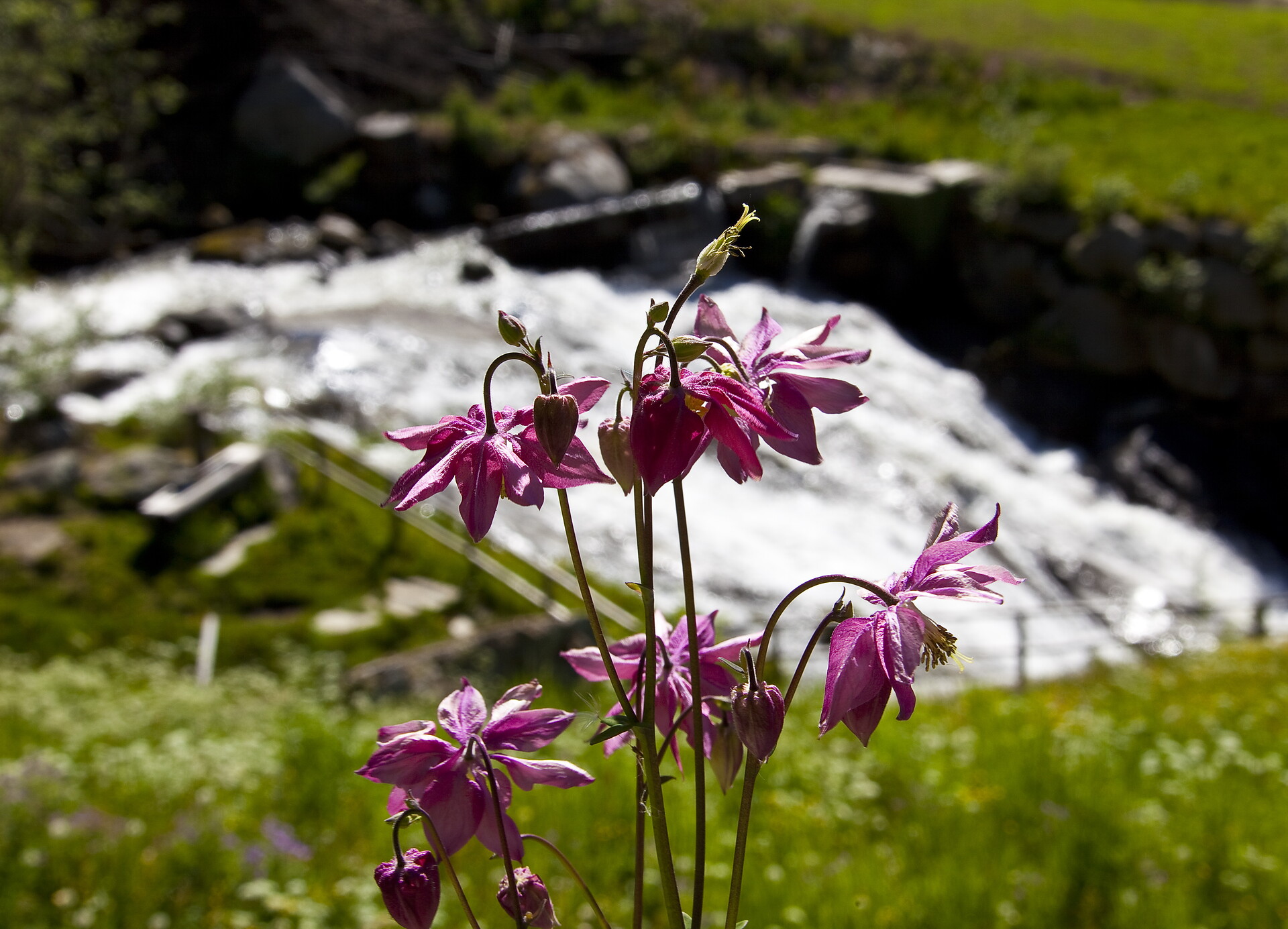
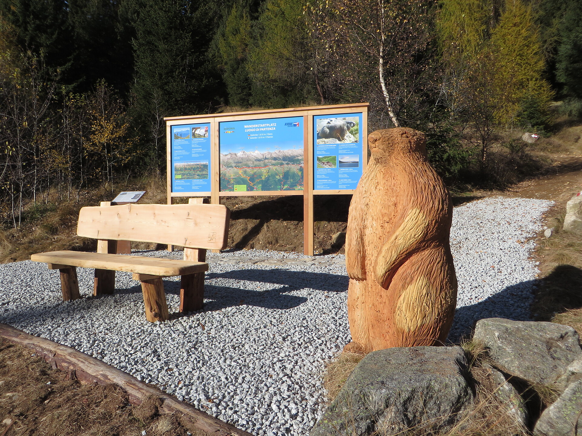
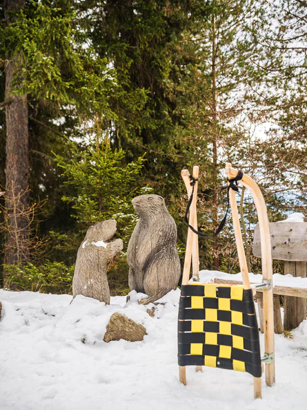
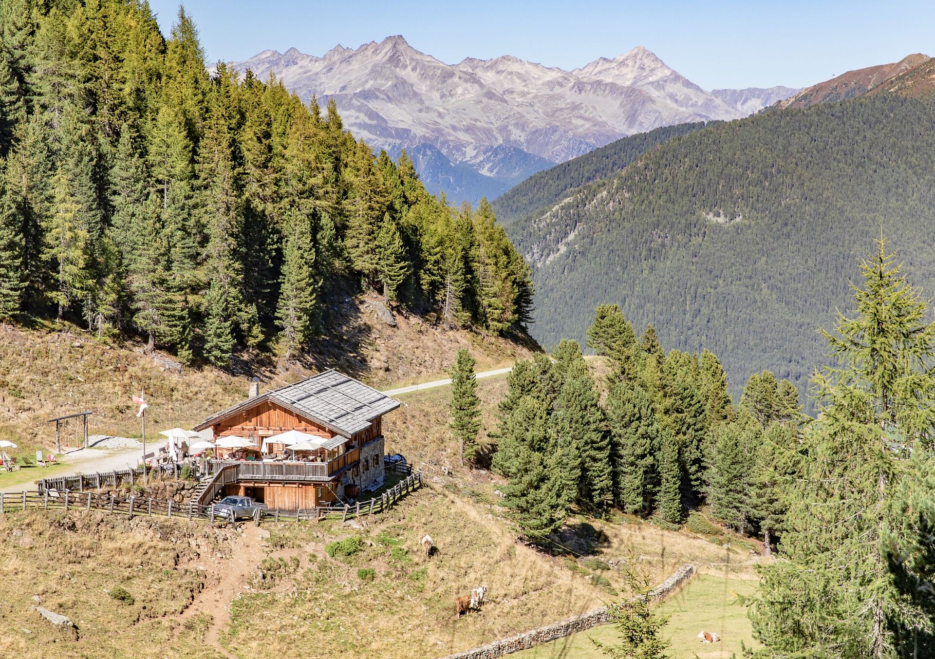
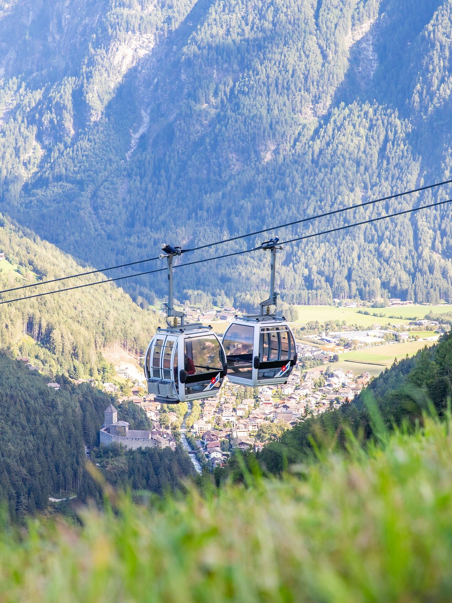
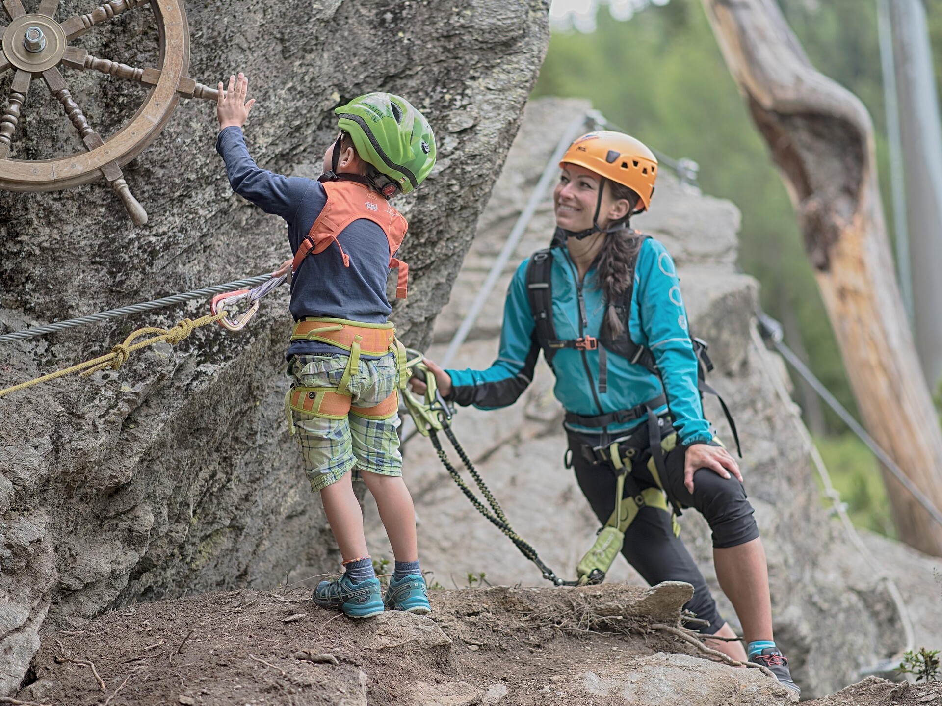
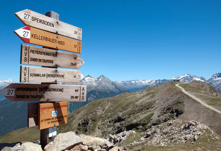
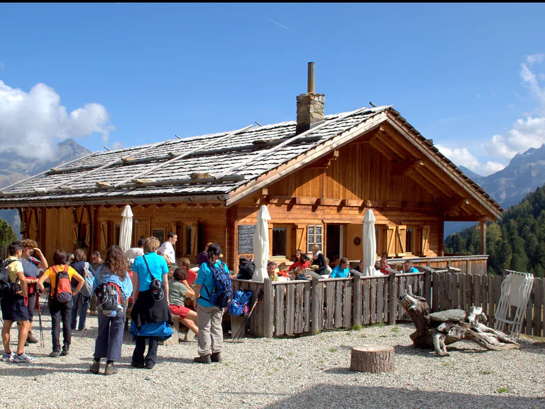
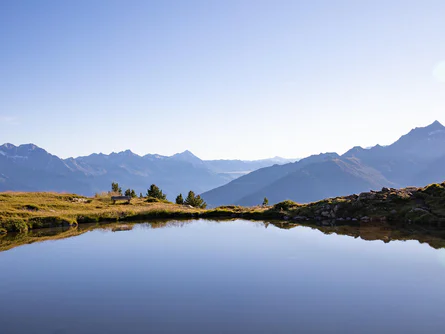
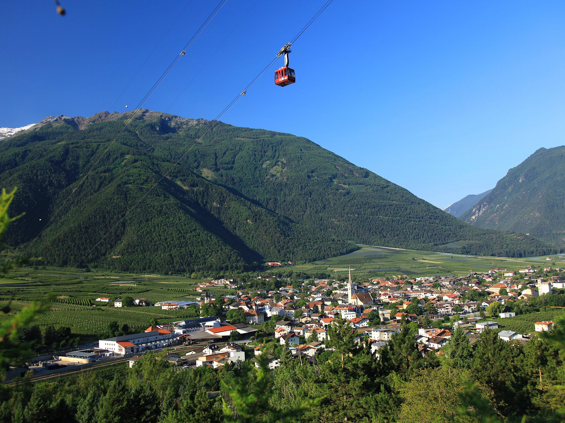
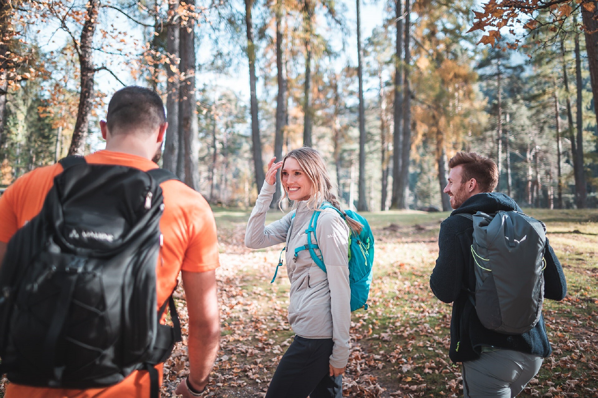
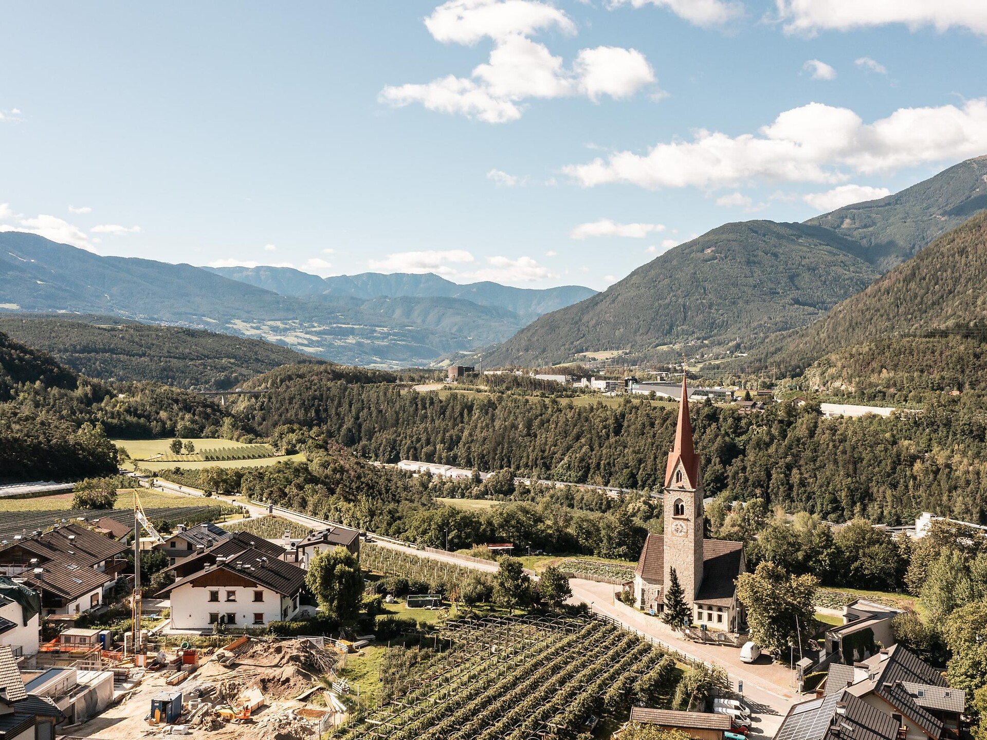
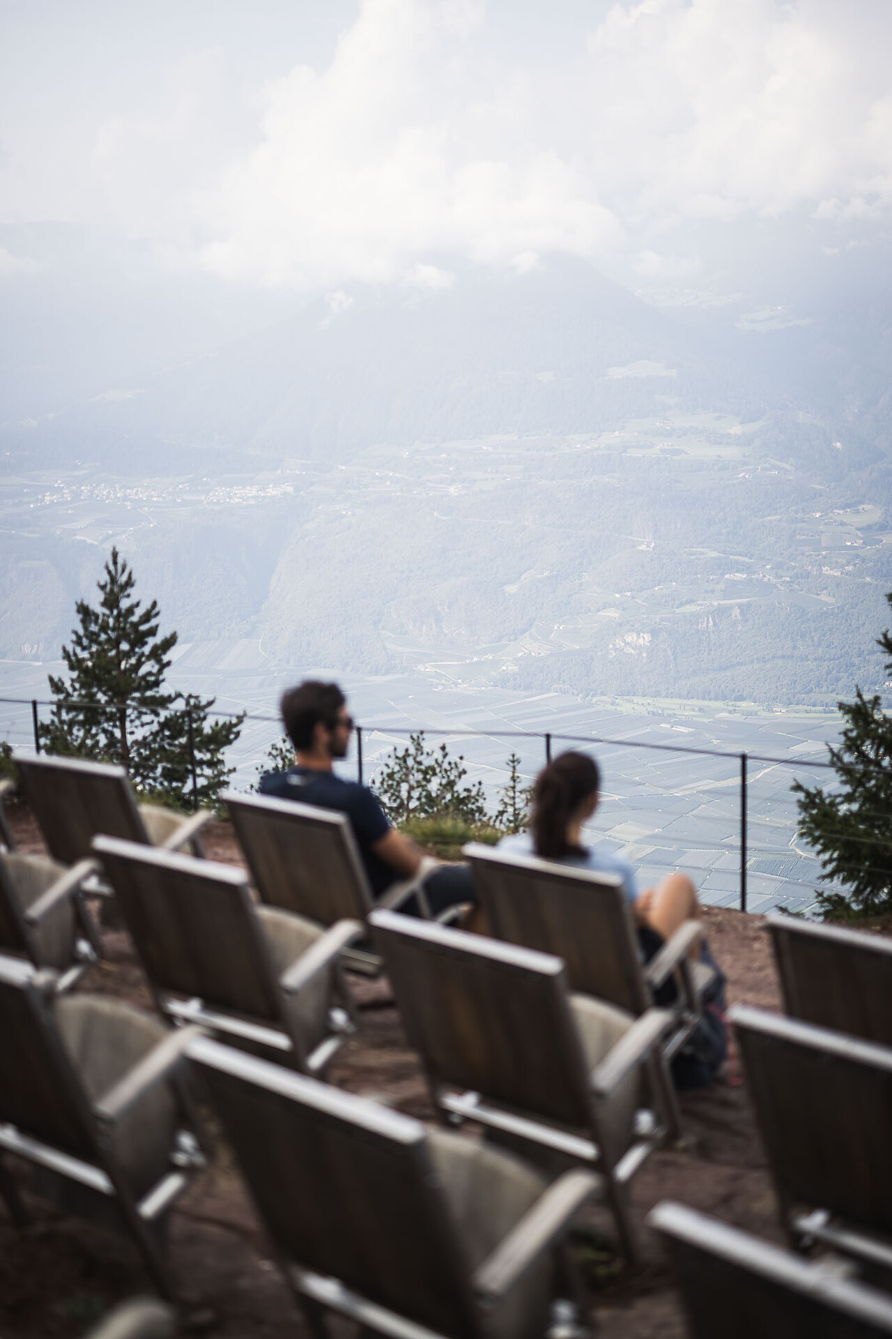
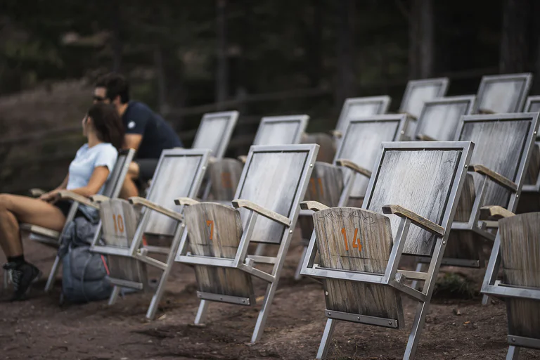
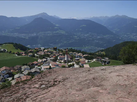
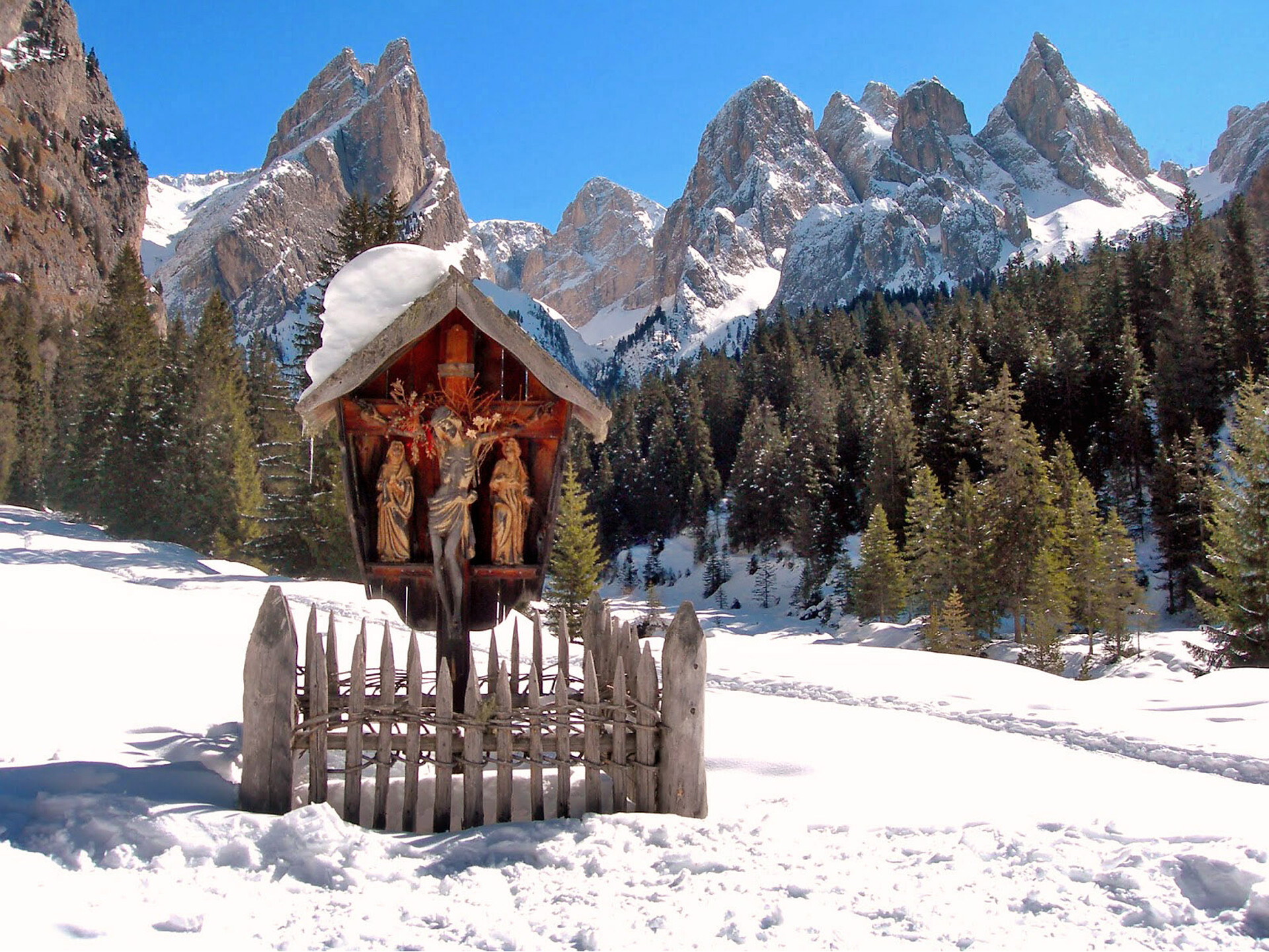
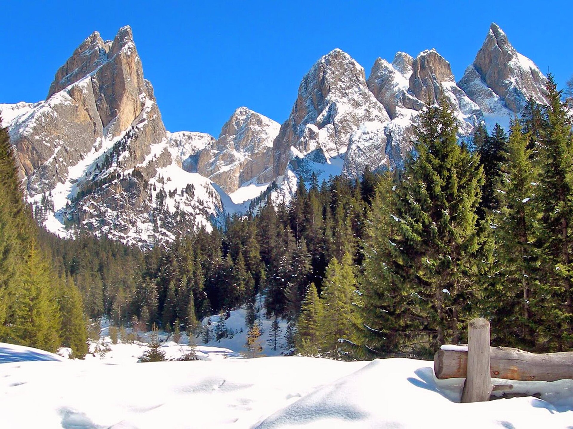
Über 16.000 Kilometer markierte, naturbelassene Wanderwege führen durch Südtirols kontrastreiche Landschaft, darunter Themenwege, Mehrtagestouren und Hochalpinsteige. Mit Seilbahnen überwindest du die ersten Höhenmeter und kannst dann direkt deine Panoramawanderung starten – etwa auf Meran 2000, auf der Plose oder am Kronplatz. Durch Südtirol führen außerdem der Europäische Fernwanderweg E5, der Jakobsweg und der Europahöhenweg 2. Zur Rast und Stärkung laden die zahlreichen Almenhütten. Von klein und urig bis elegant und innovativ mit gehobener Küche und großer Weinkarte. Schutz vor Wind und Wetter bieten spektakulär gelegene Schutzhütten. Kletterprofis und Anfänger gehen auf 50 Klettersteigen in den Schwierigkeitsgraden A bis F auf Tuchfühlung mit dem Felsen. Hier ist für jede Kondition das Passende dabei.
1 / 4
Themed Hikes
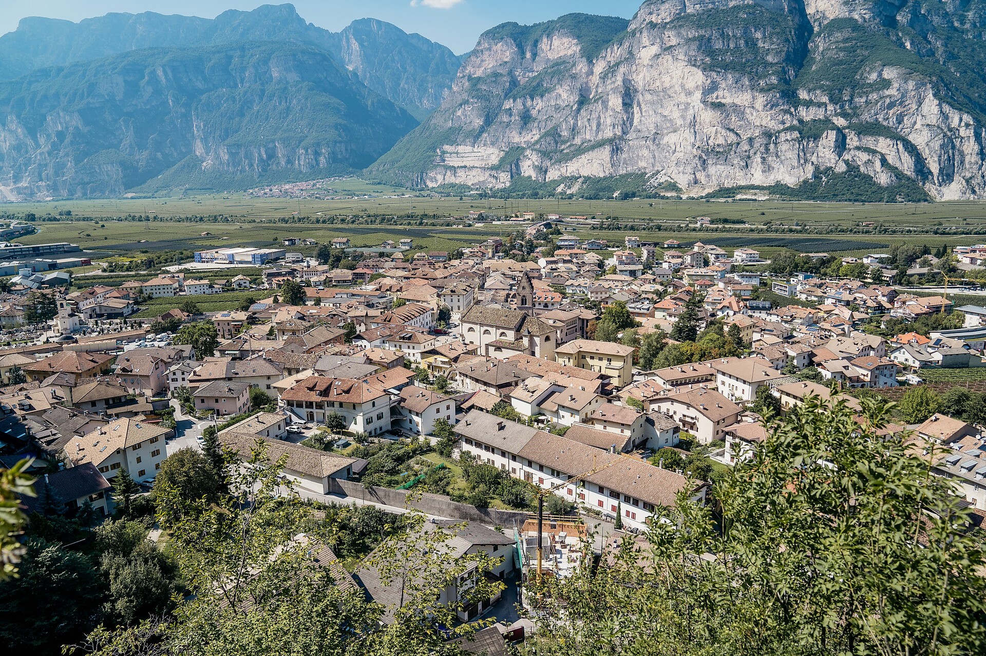
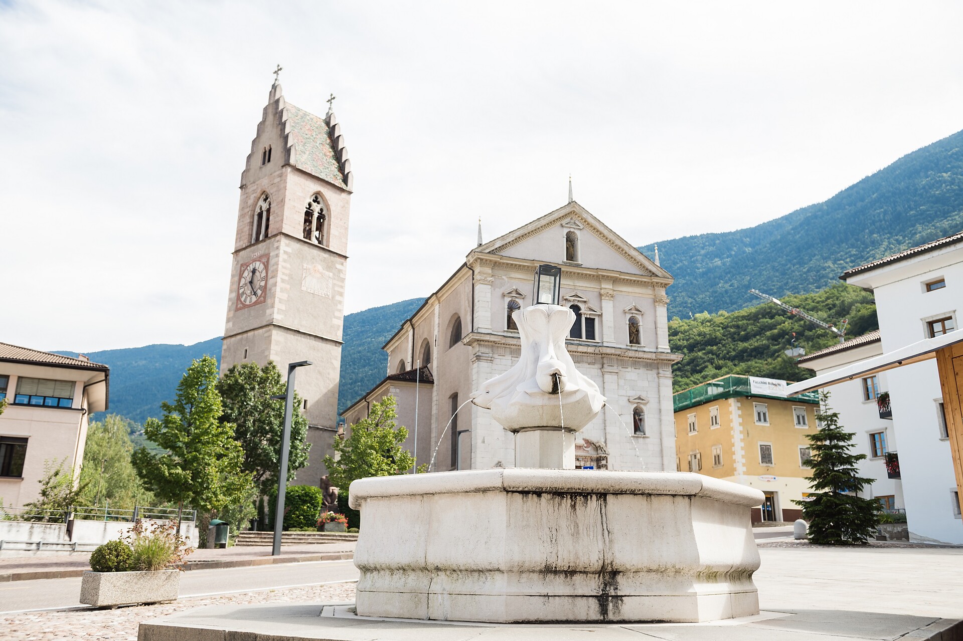
Kurtatsch an der Weinstraße/Cortaccia sulla Strada del Vino, Alto Adige Wine Road
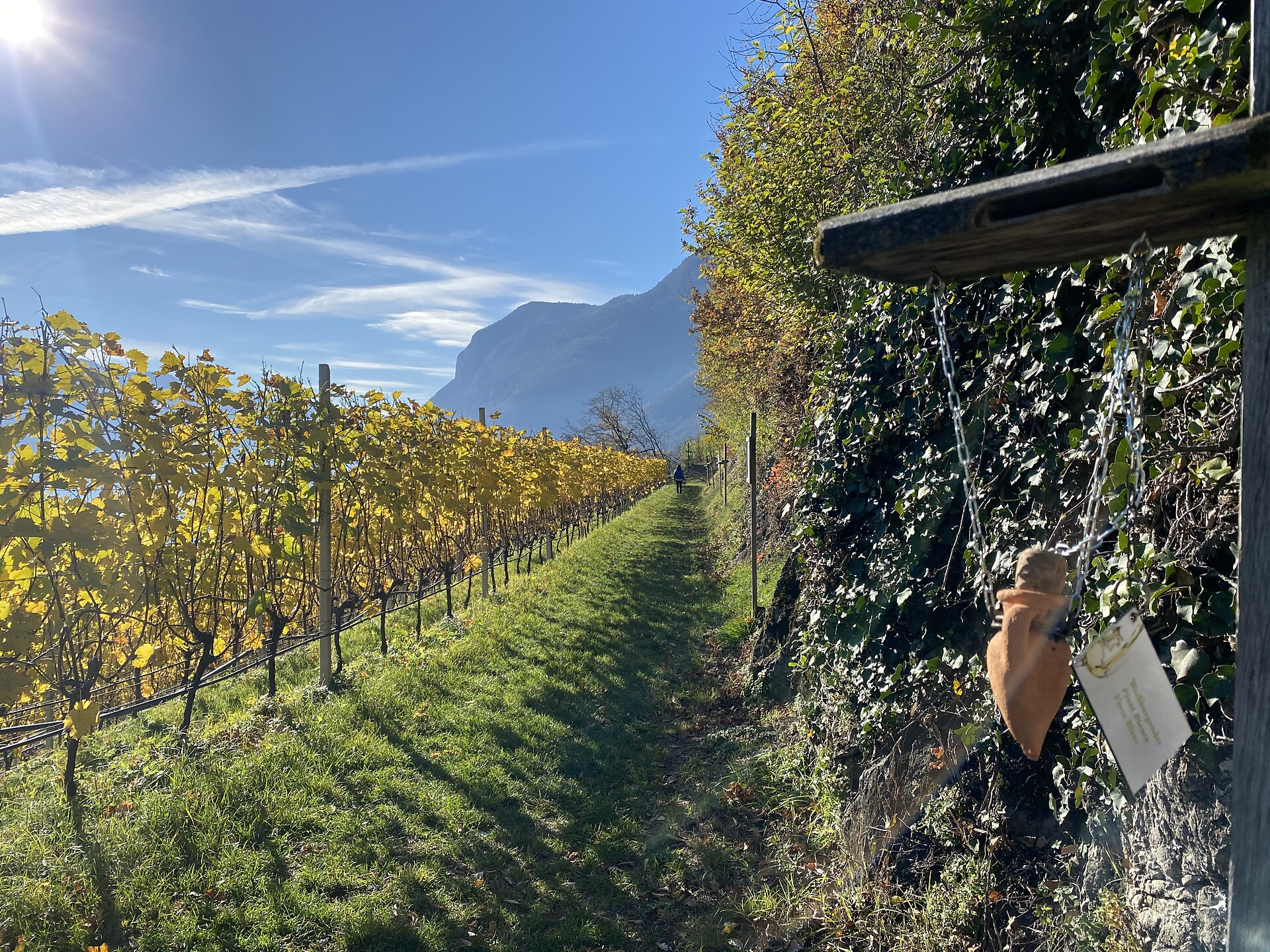
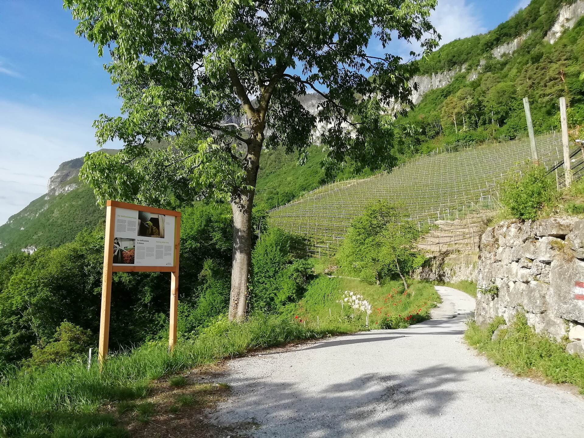
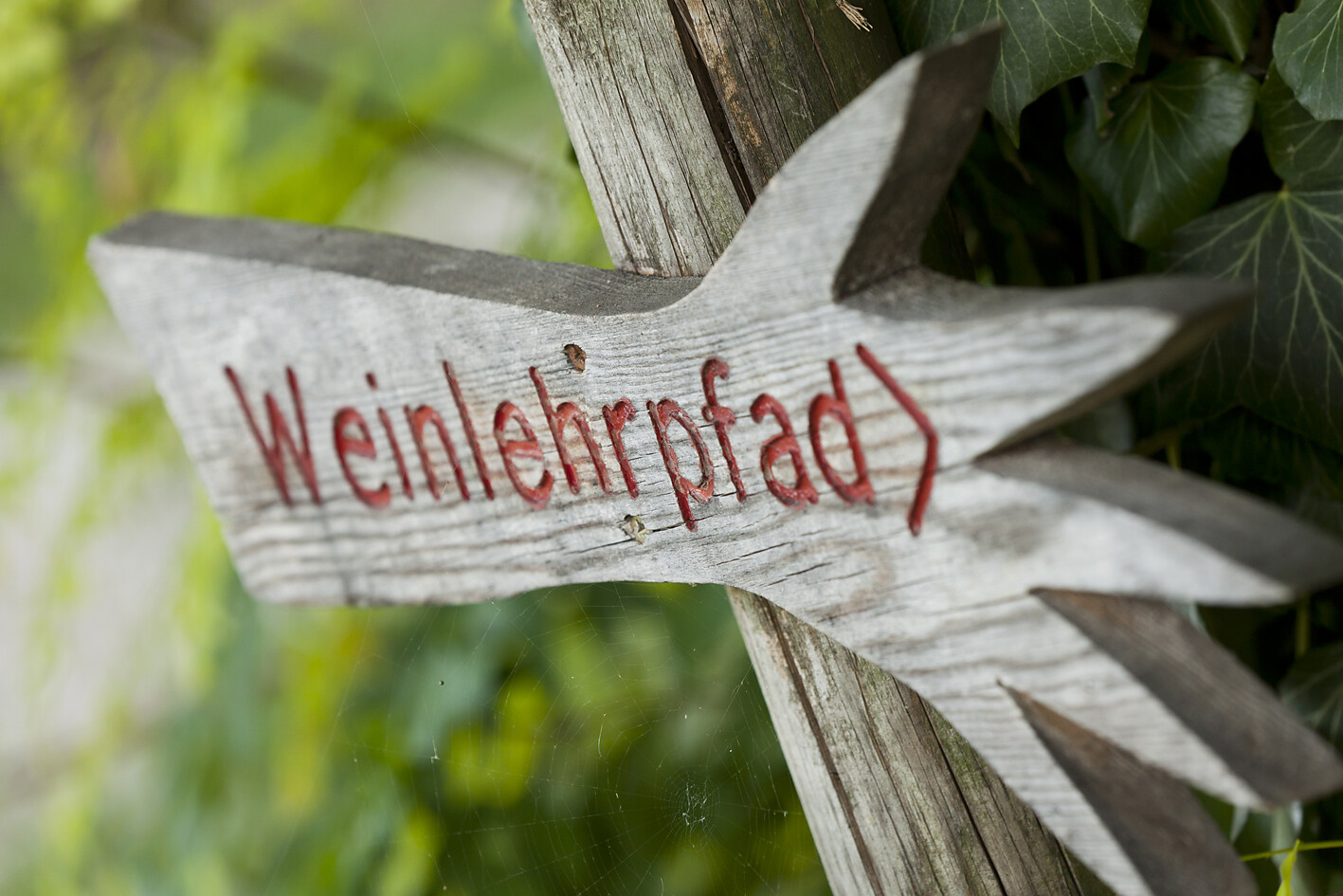
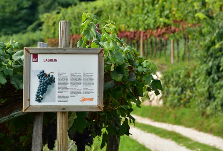
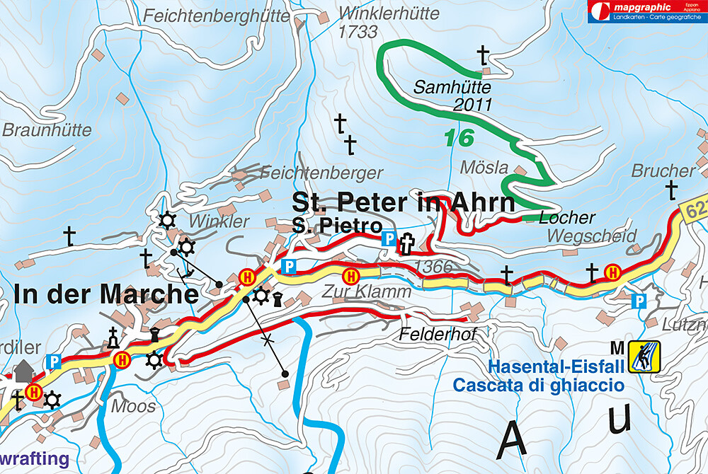
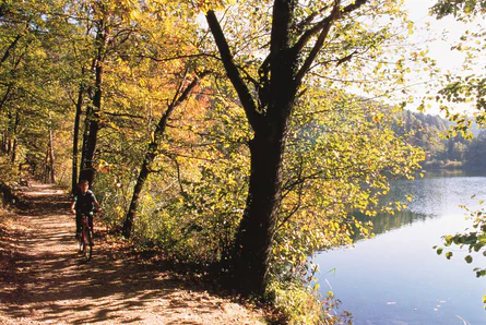
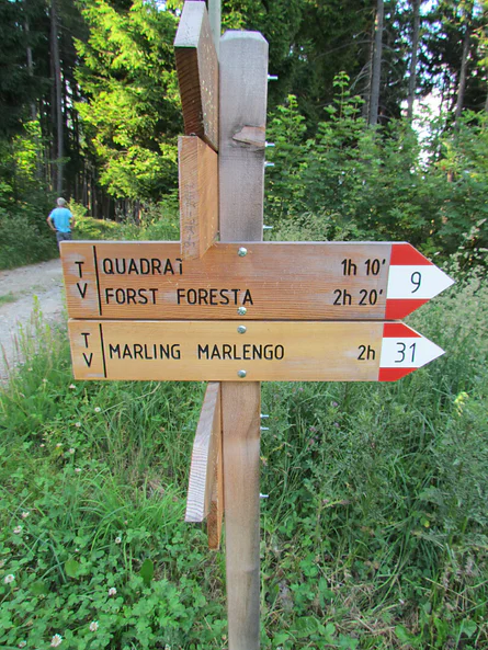
The wine teaching trail Cortaccia/Kurtatsch | On the 1.6 km path through the vineyards of Cortaccia, hikers can trace all of the important things that happen over the course of the wine-growing year. You’ll learn about wine cultivation, landscape, and history at a number of different information stations along the way. You can also smell different aromas found in wine. | The wine teaching trail Cortaccia/Kurtatsch | Starting point: The main square of Cortaccia/Kurtatsch | Highest point: 400


