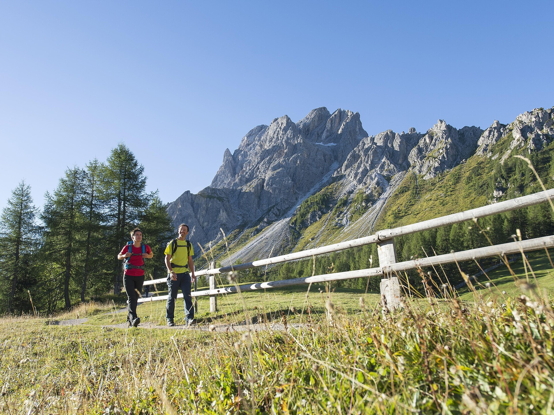


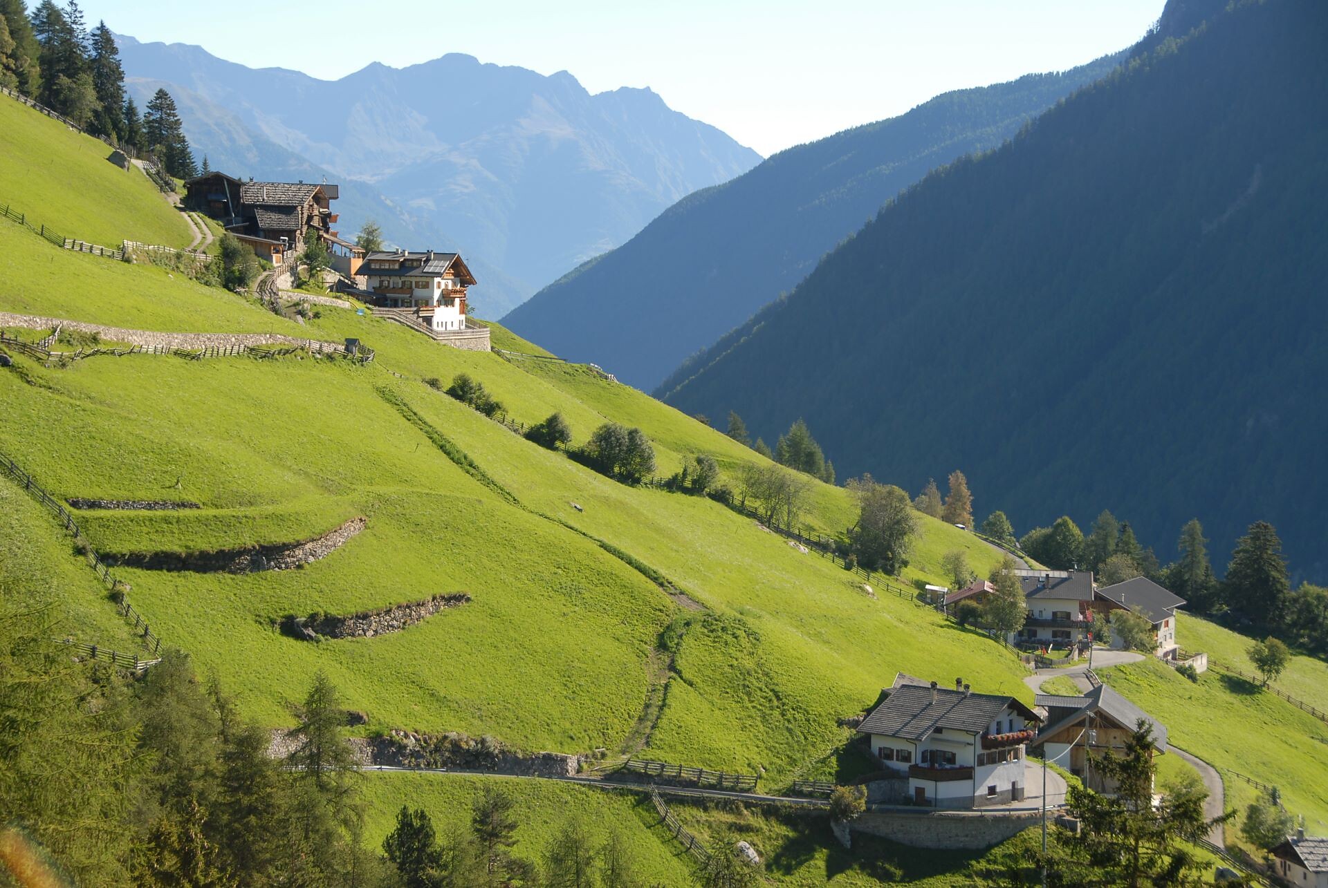


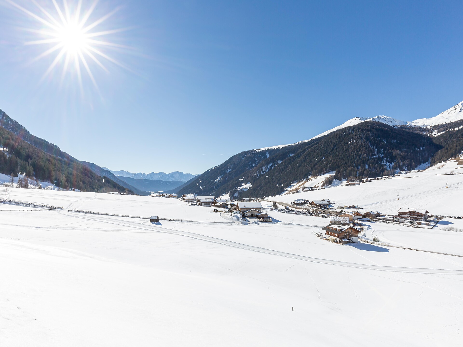


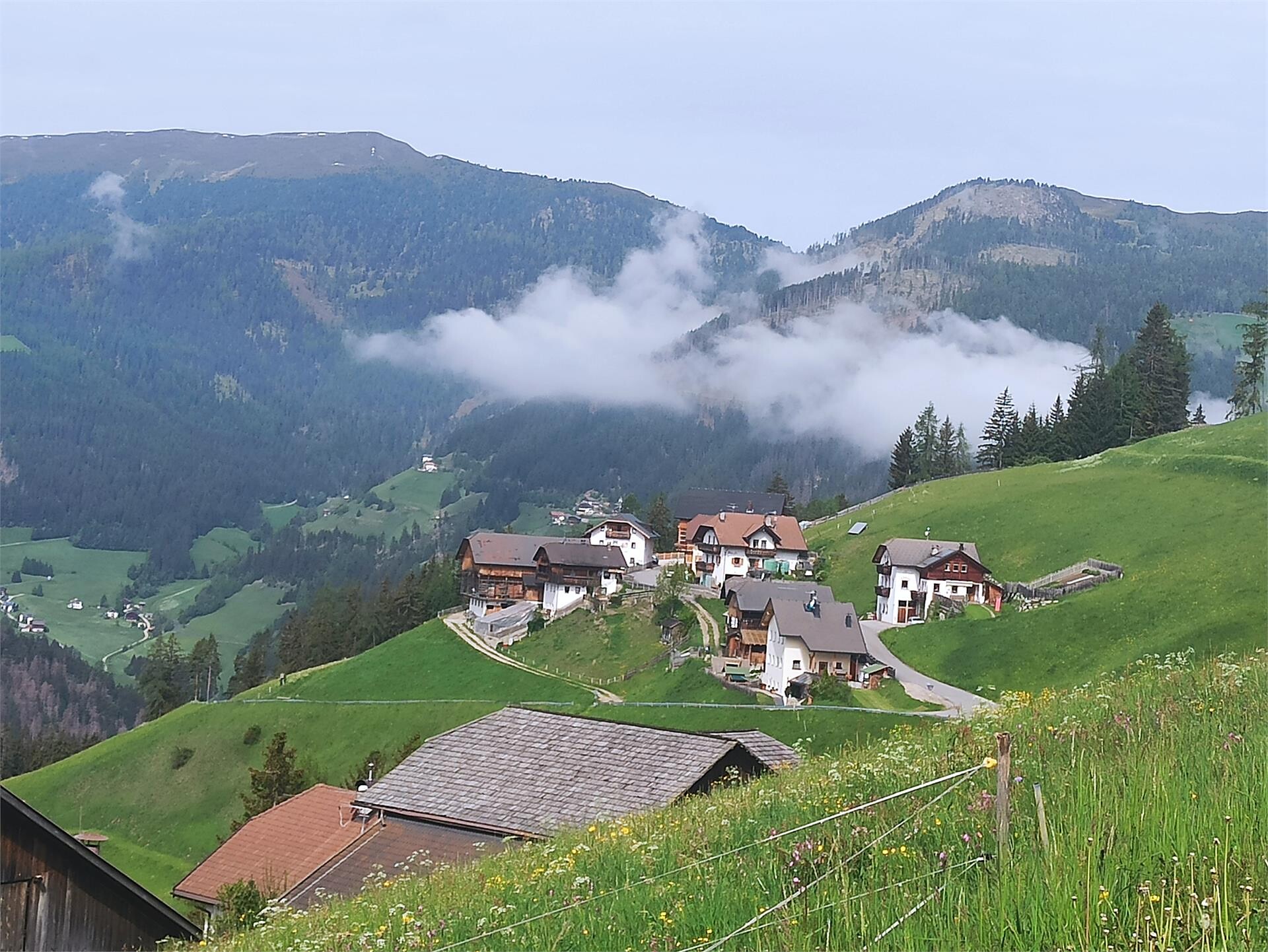
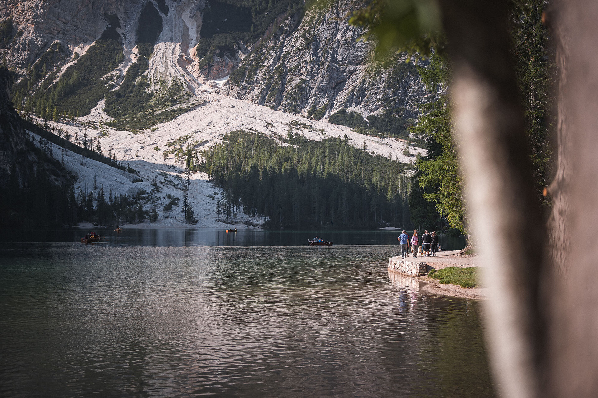


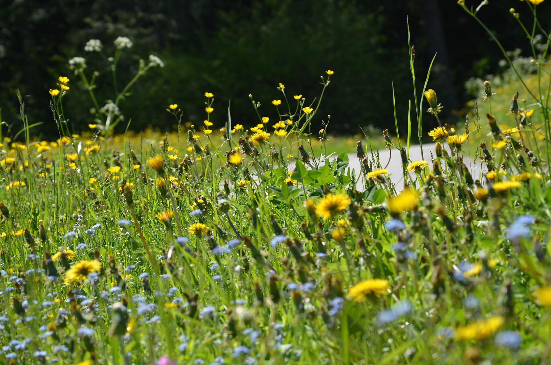
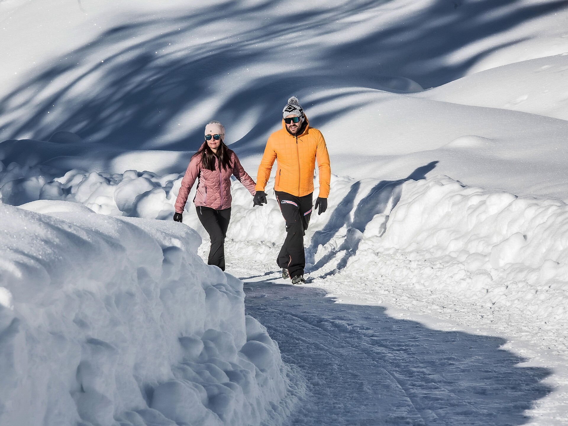


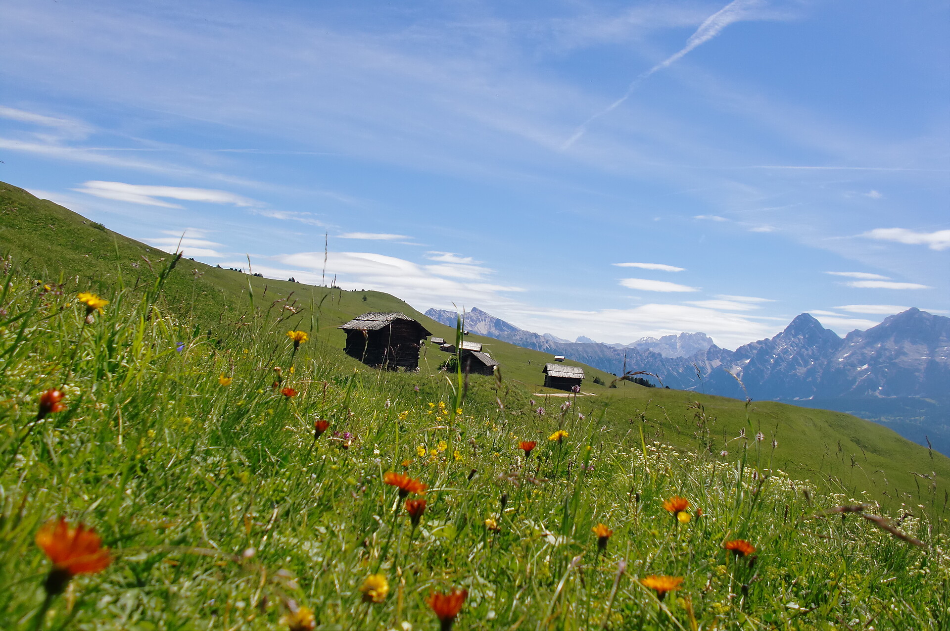
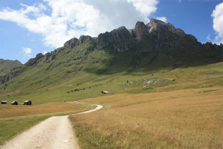
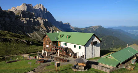
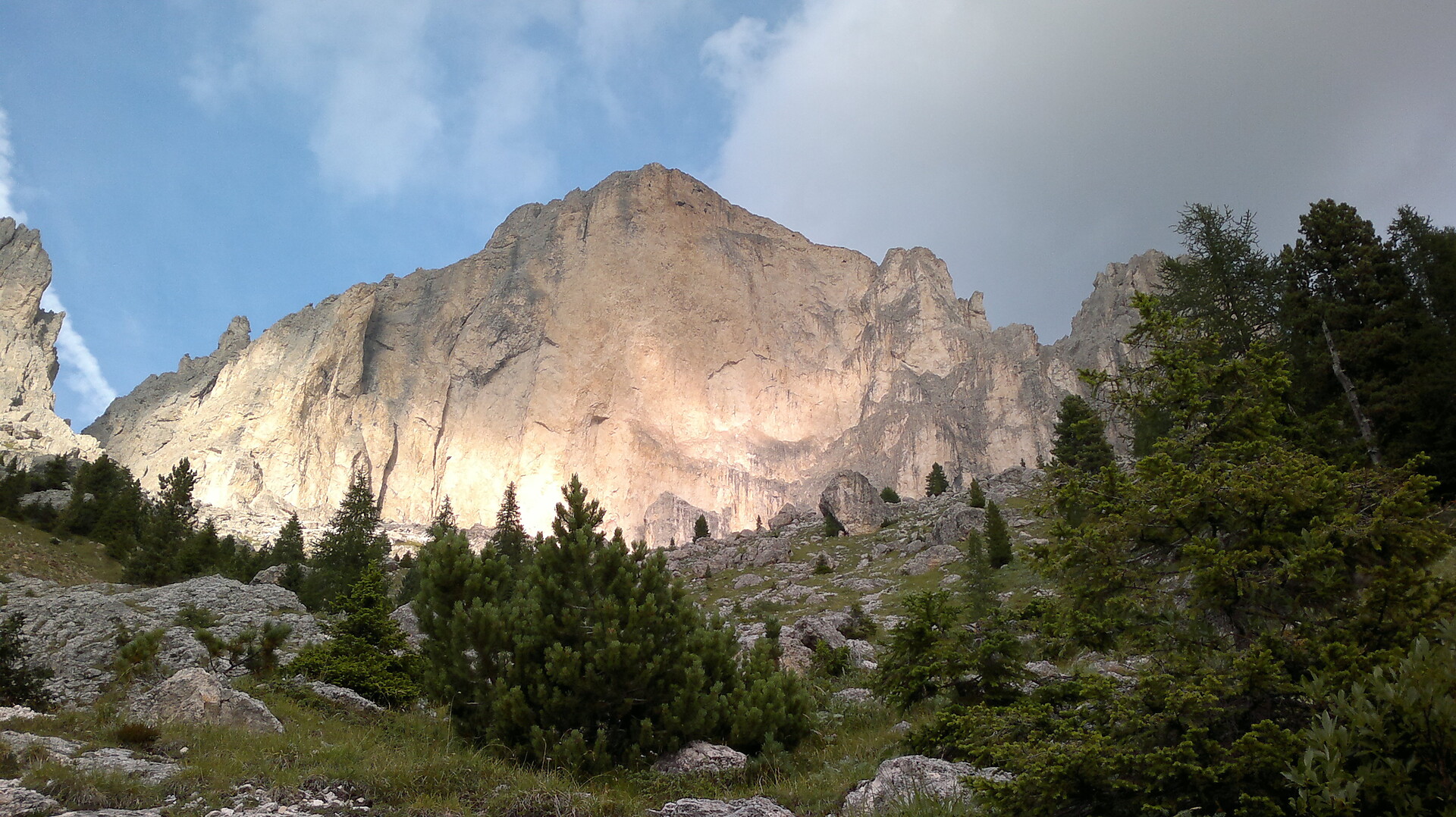
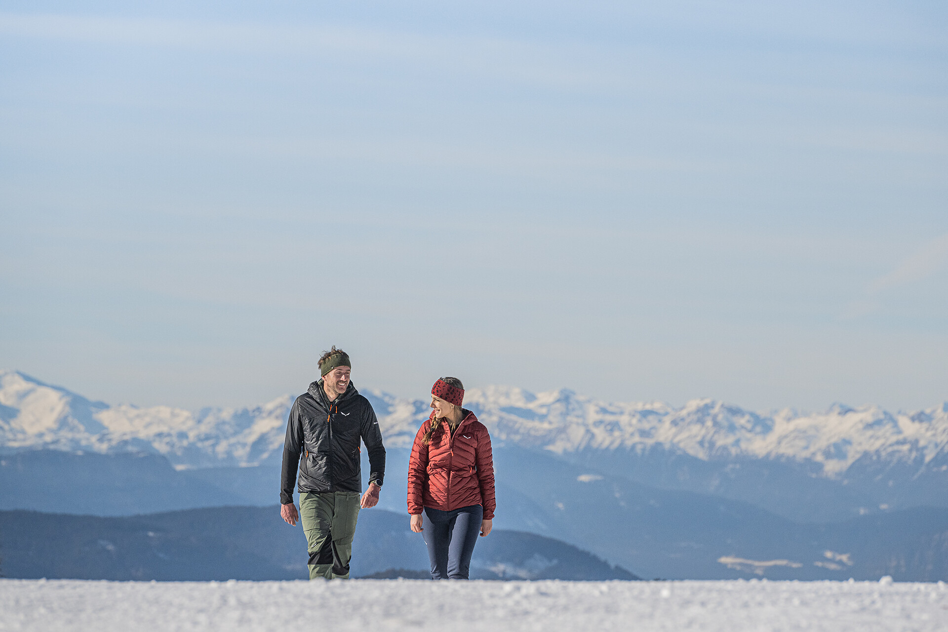


Über 16.000 Kilometer markierte, naturbelassene Wanderwege führen durch Südtirols kontrastreiche Landschaft, darunter Themenwege, Mehrtagestouren und Hochalpinsteige. Mit Seilbahnen überwindest du die ersten Höhenmeter und kannst dann direkt deine Panoramawanderung starten – etwa auf Meran 2000, auf der Plose oder am Kronplatz. Durch Südtirol führen außerdem der Europäische Fernwanderweg E5, der Jakobsweg und der Europahöhenweg 2. Zur Rast und Stärkung laden die zahlreichen Almenhütten. Von klein und urig bis elegant und innovativ mit gehobener Küche und großer Weinkarte. Schutz vor Wind und Wetter bieten spektakulär gelegene Schutzhütten. Kletterprofis und Anfänger gehen auf 50 Klettersteigen in den Schwierigkeitsgraden A bis F auf Tuchfühlung mit dem Felsen. Hier ist für jede Kondition das Passende dabei.
Hiking
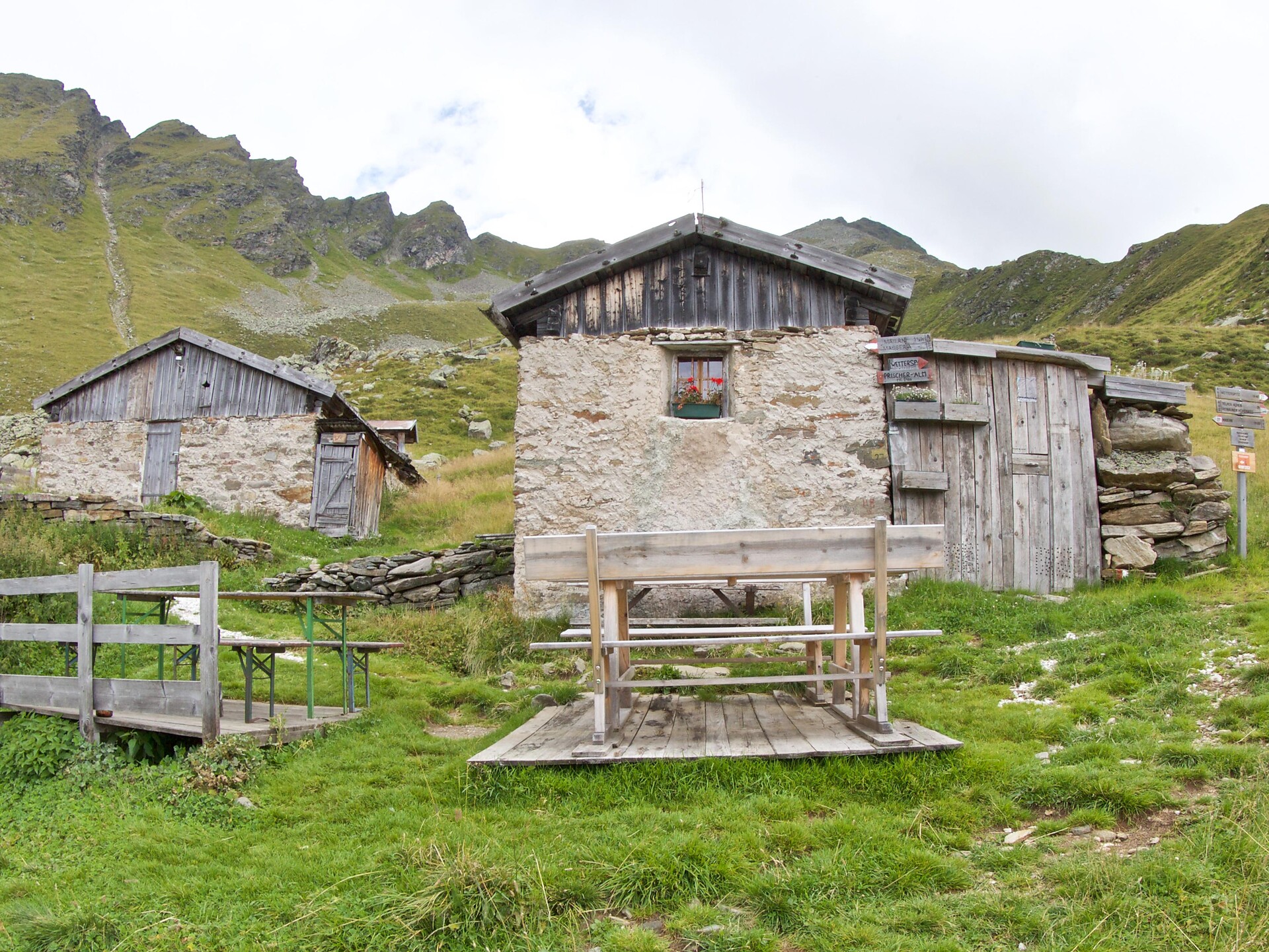
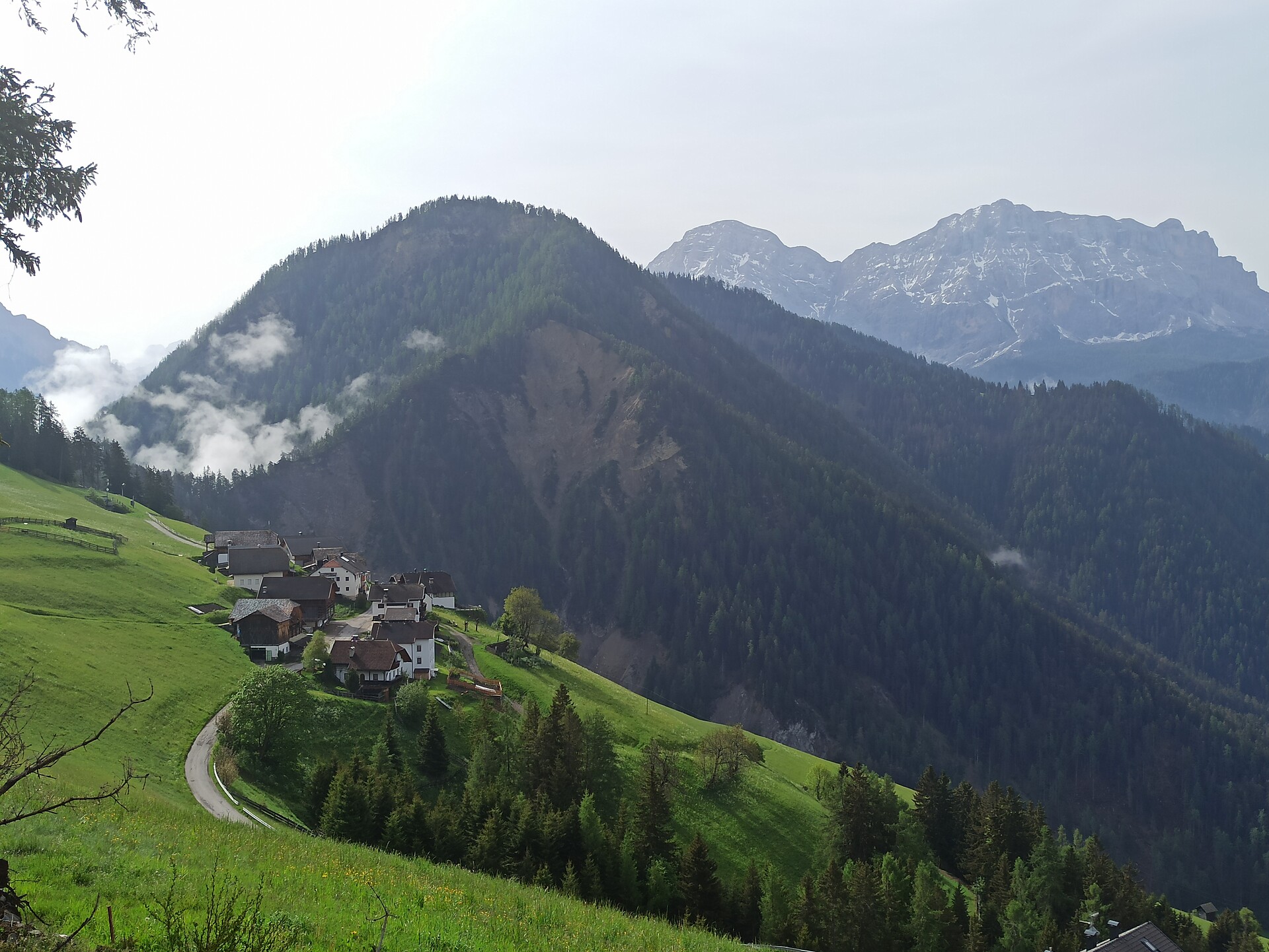
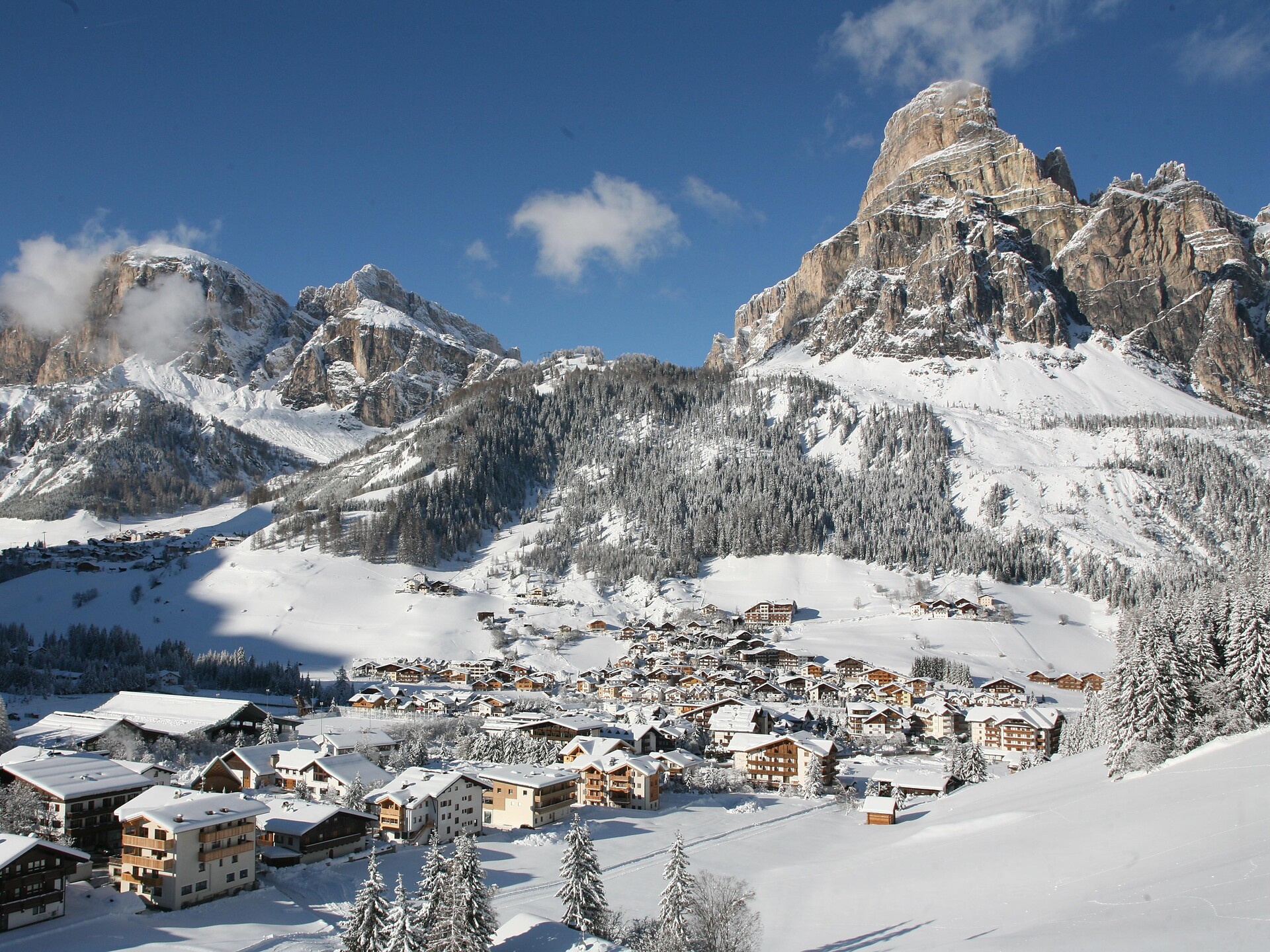
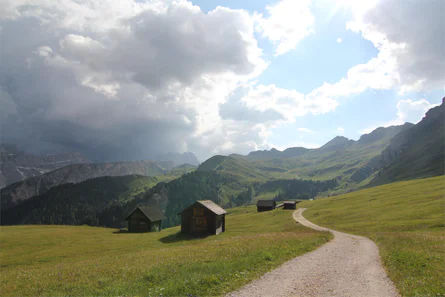
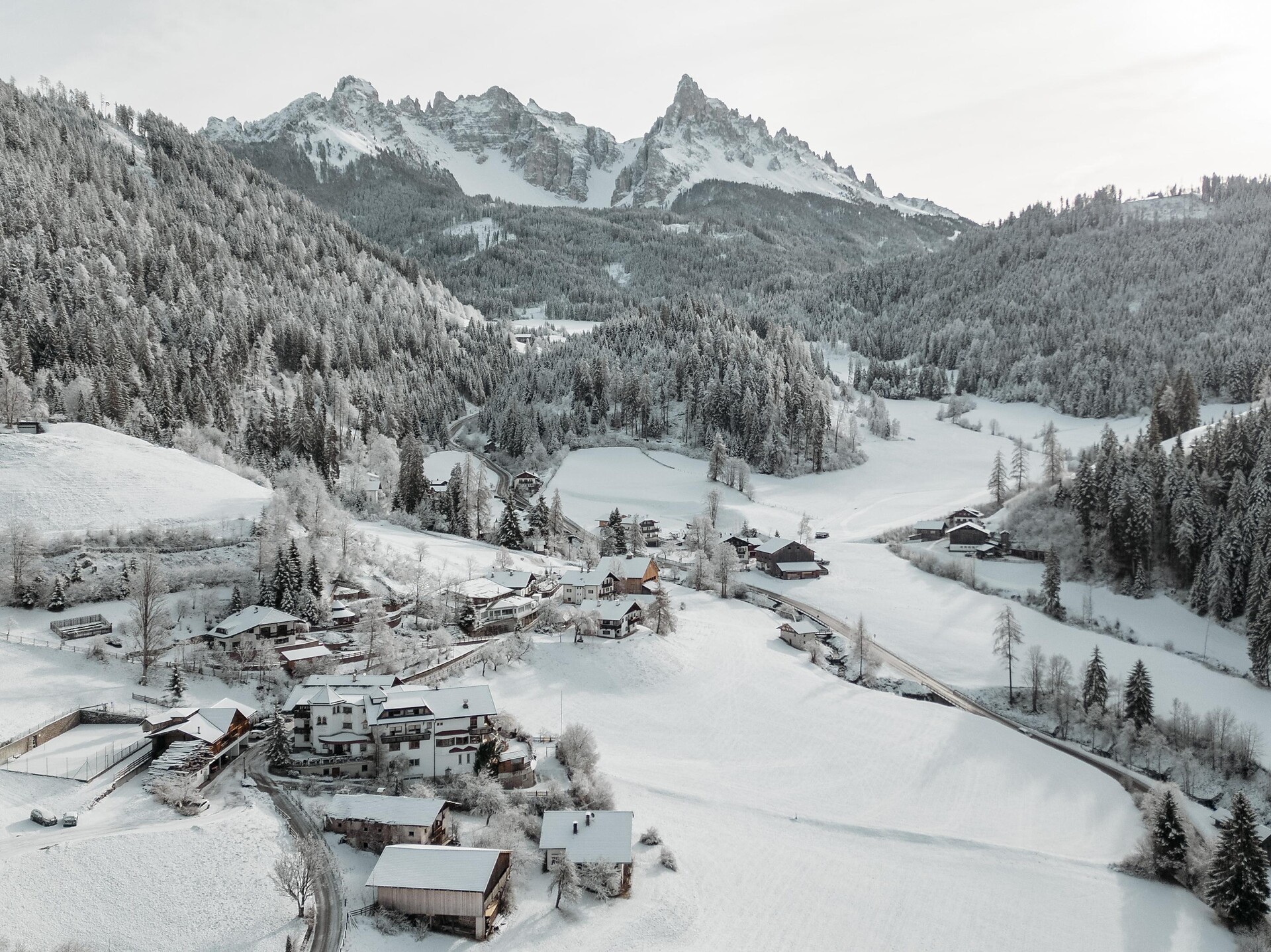
Ratschings/Racines, Sterzing/Vipiteno and environs
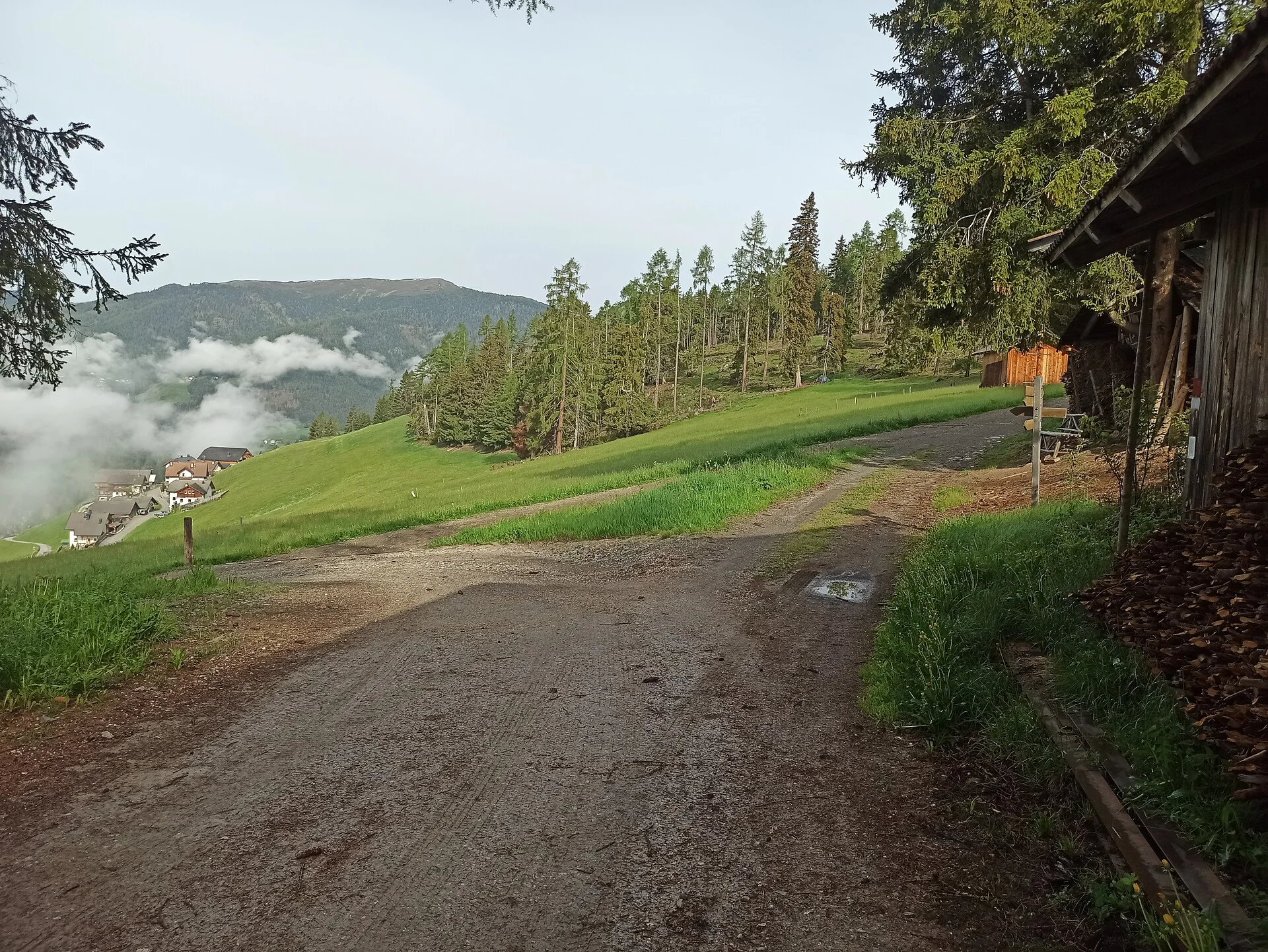
This hike starts in Maiern/Masseria, at the valley head of Ridnaun/Ridanna. Cross the Ridnaun river at the bridge and keep go left towards the mountain pasture Aglsbodenalm. At an altitude of 1.560m turn right to the mountain pasture Prischeralm. From there go steeply uphill on a forest path to the mountain pasture.
Alternative: reachable also from the mountain station Rosskopf Monte Cavallo across the Ridnauner Höhenweg


