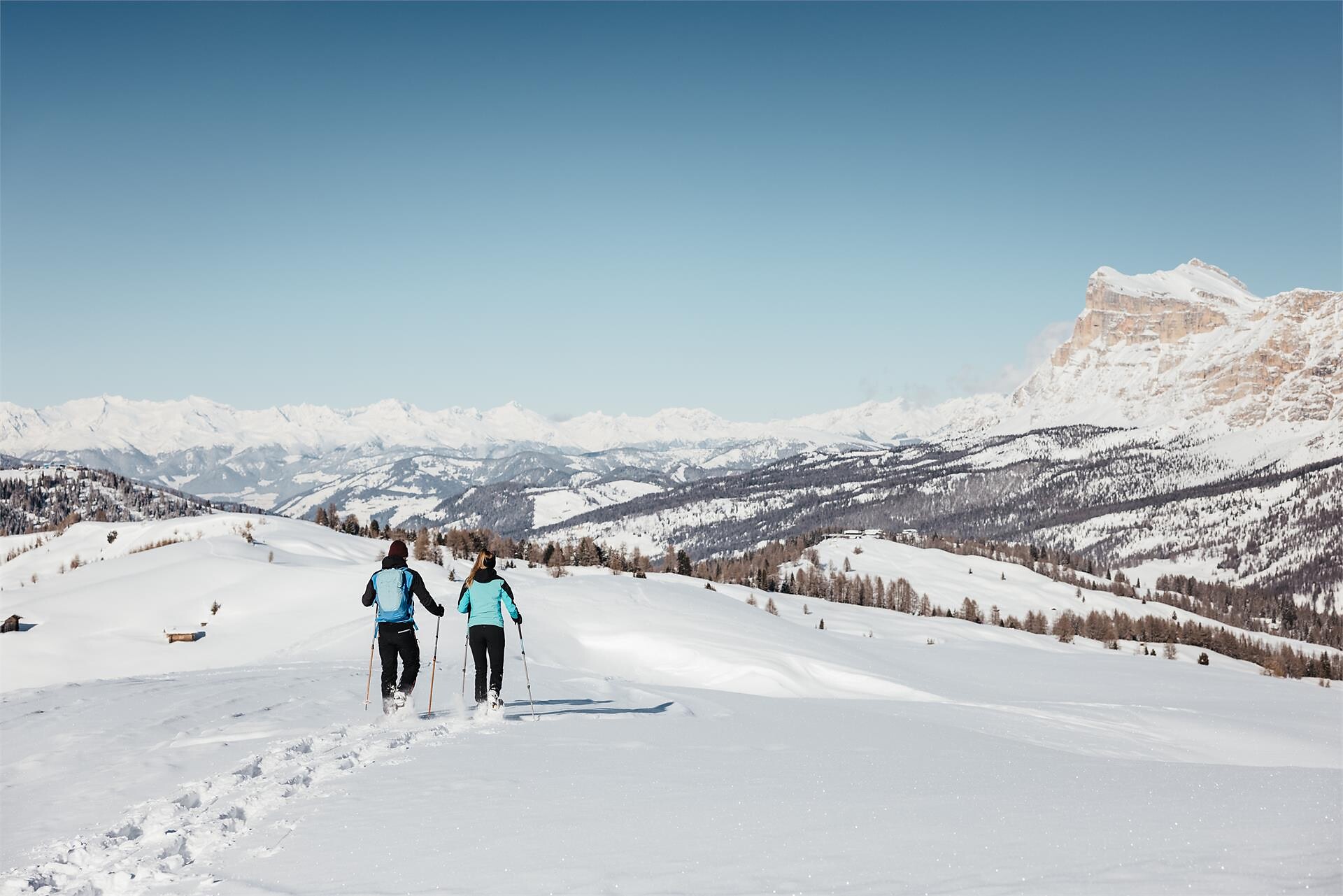
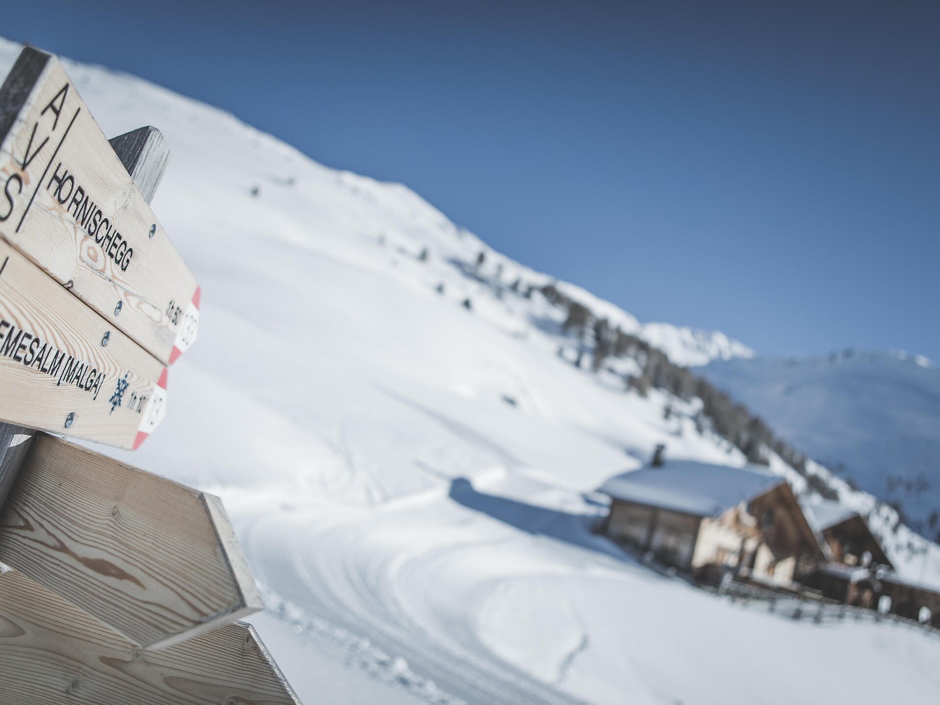
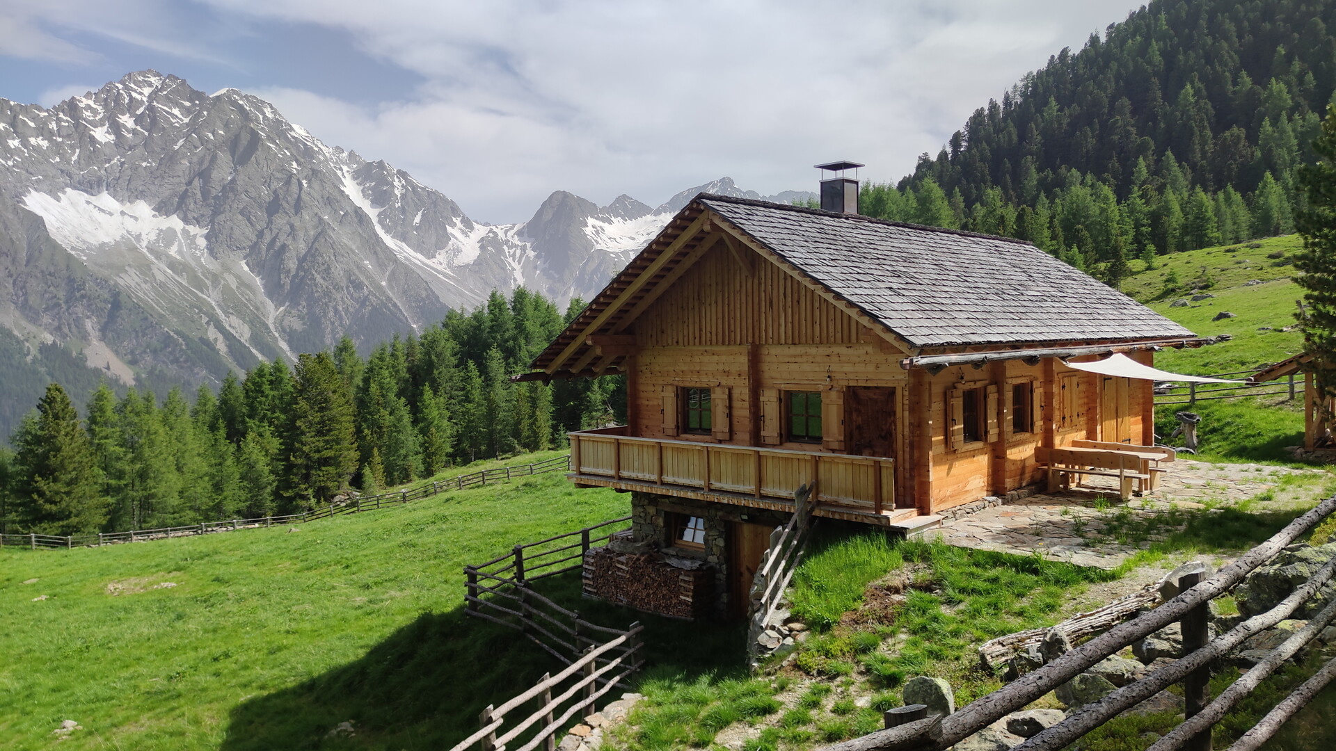
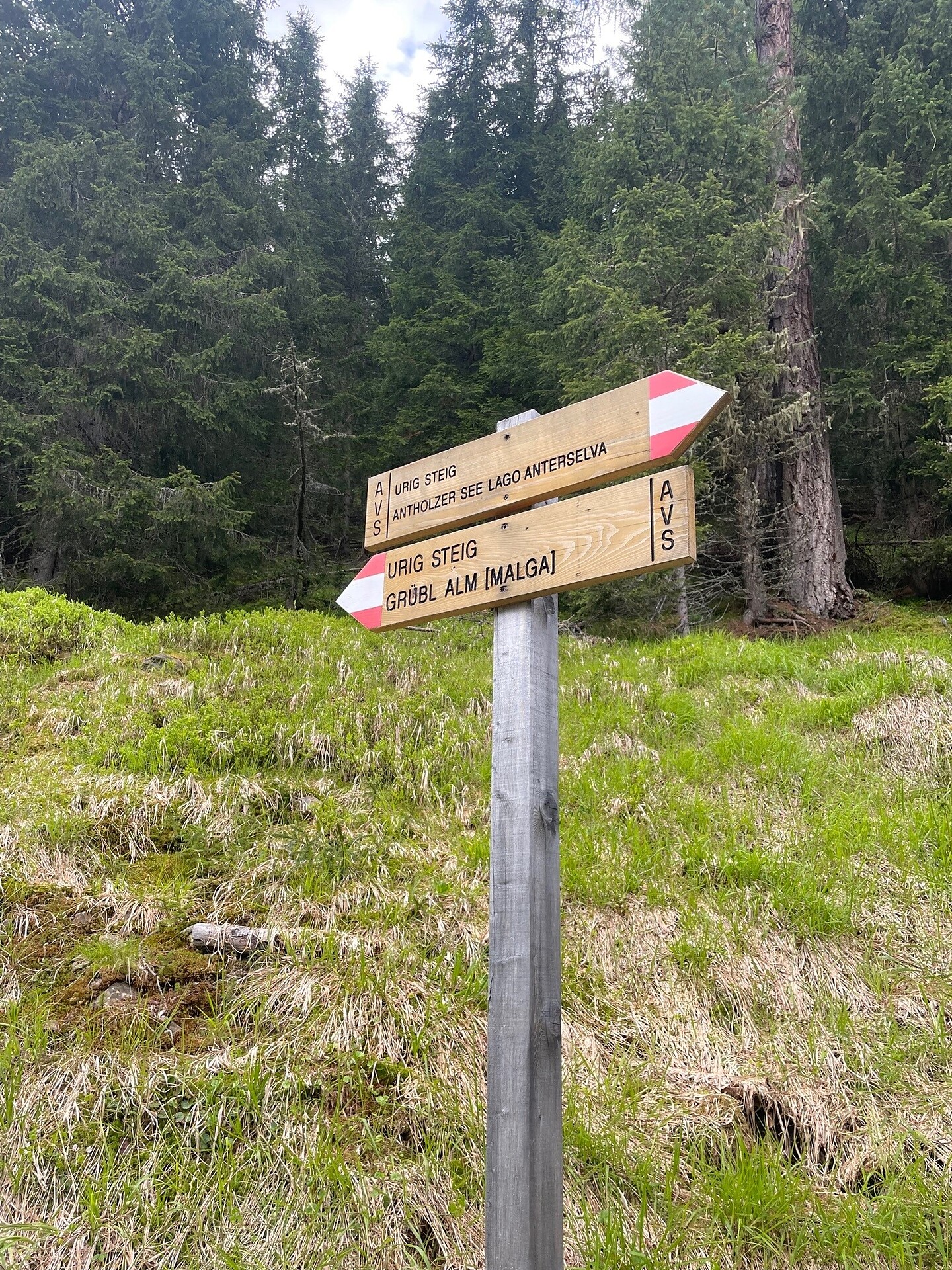

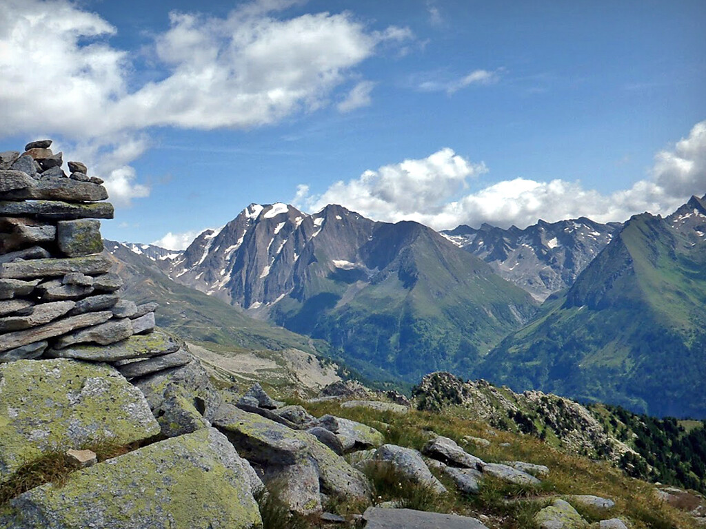
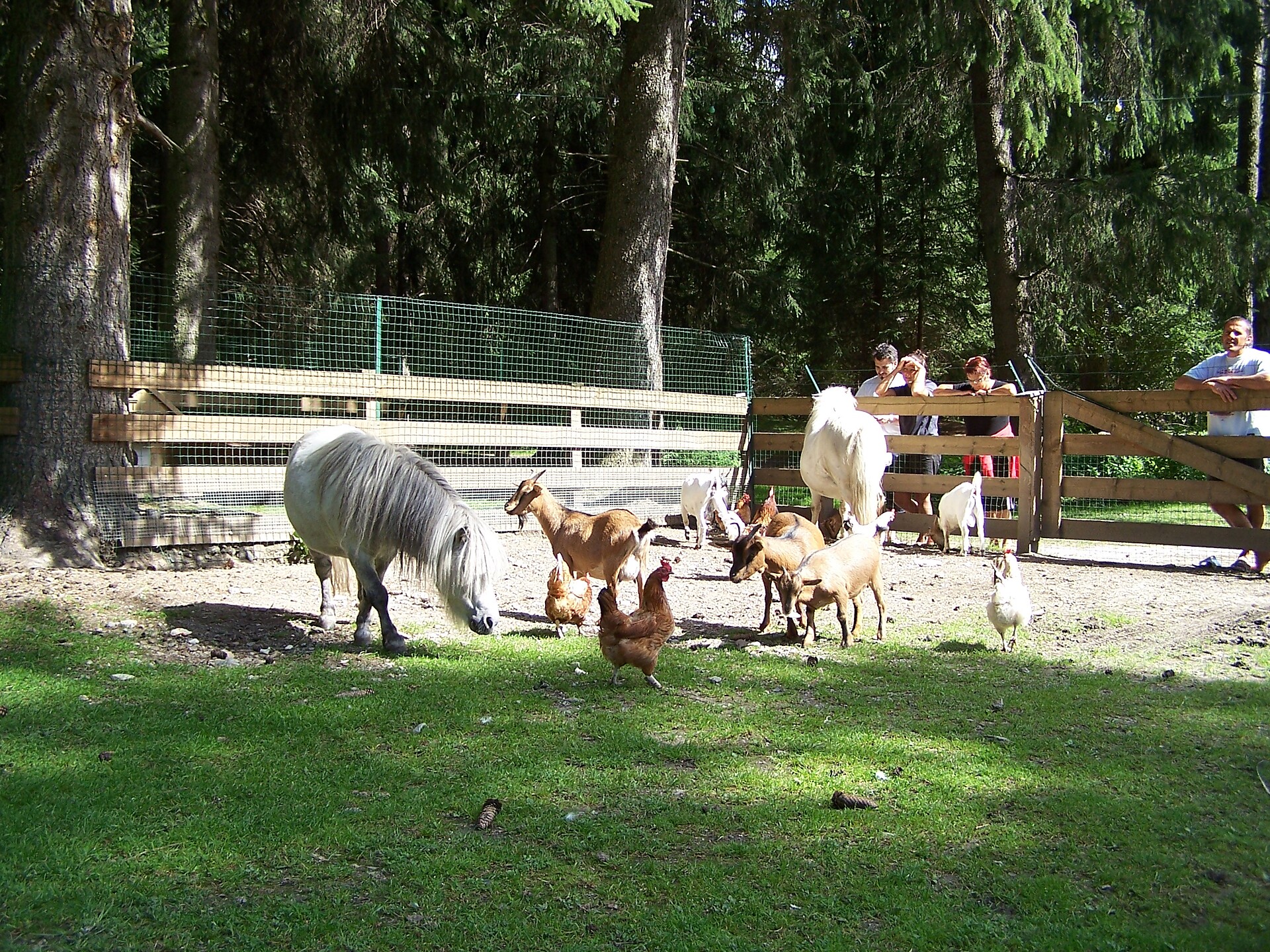
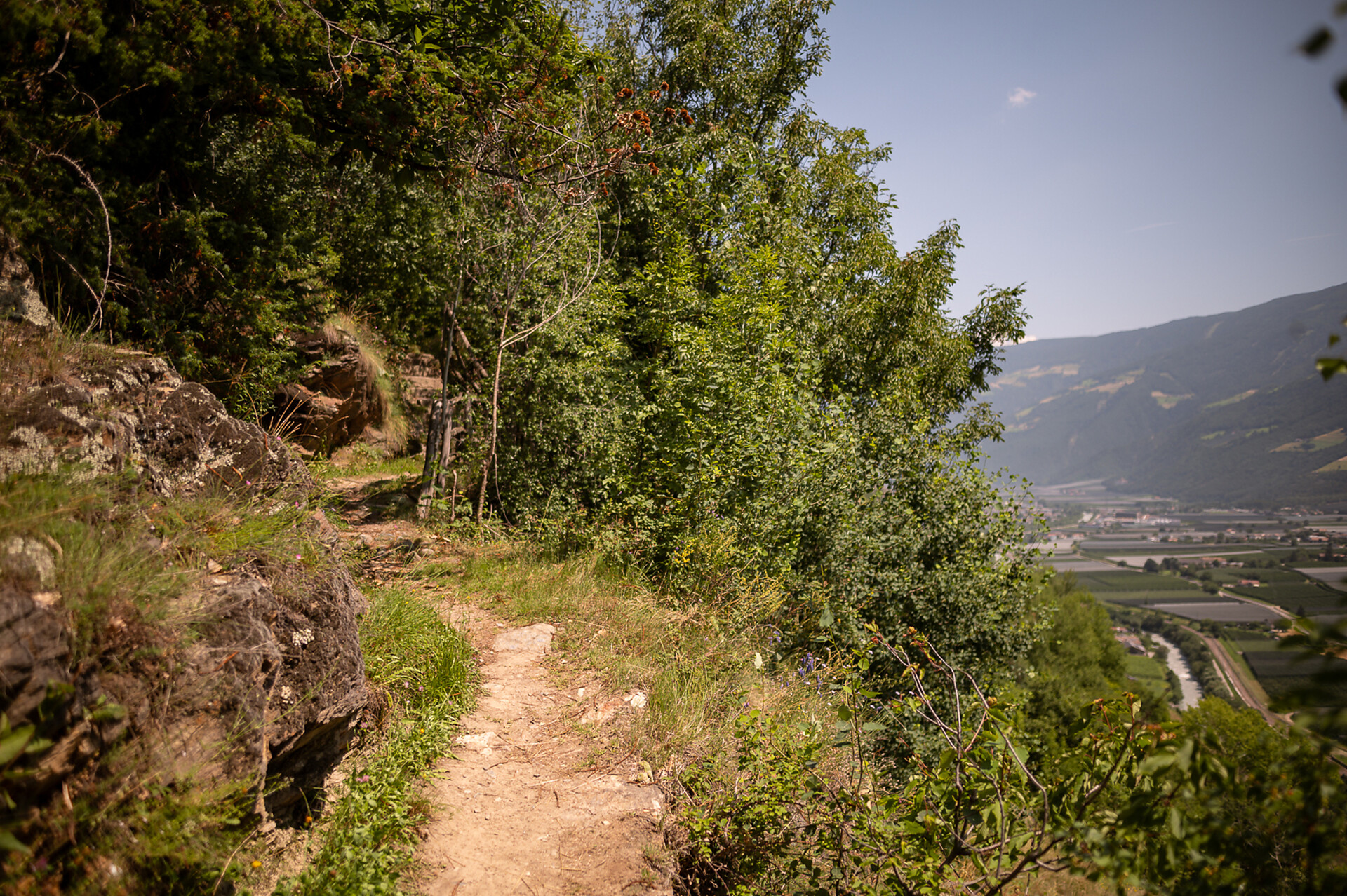

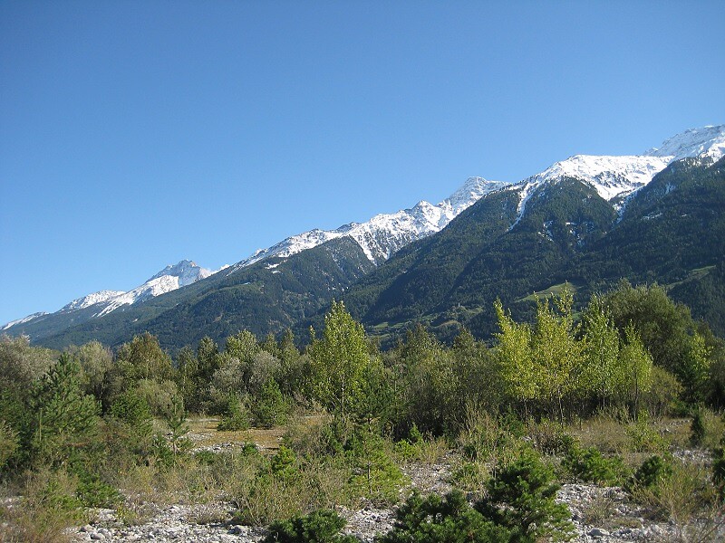
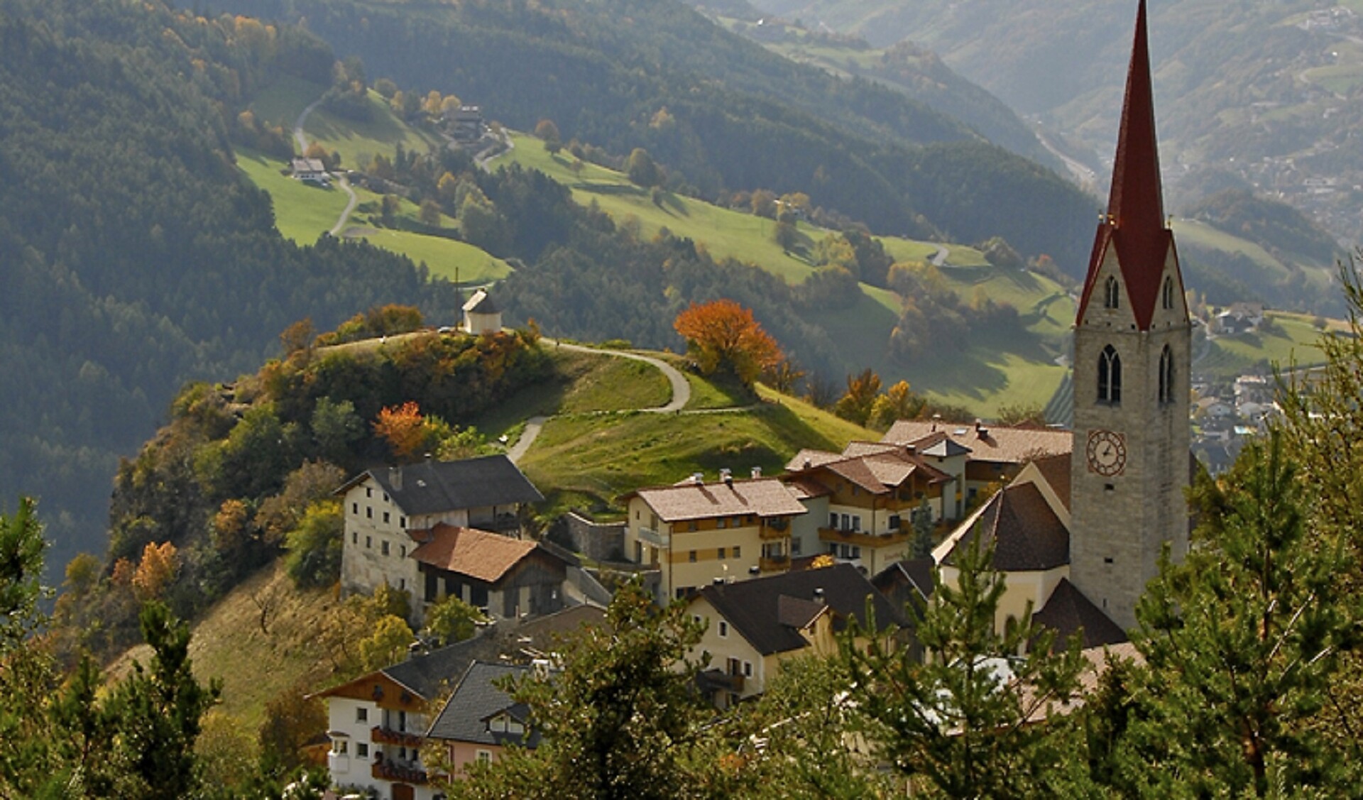
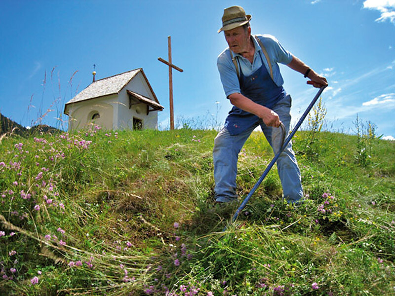
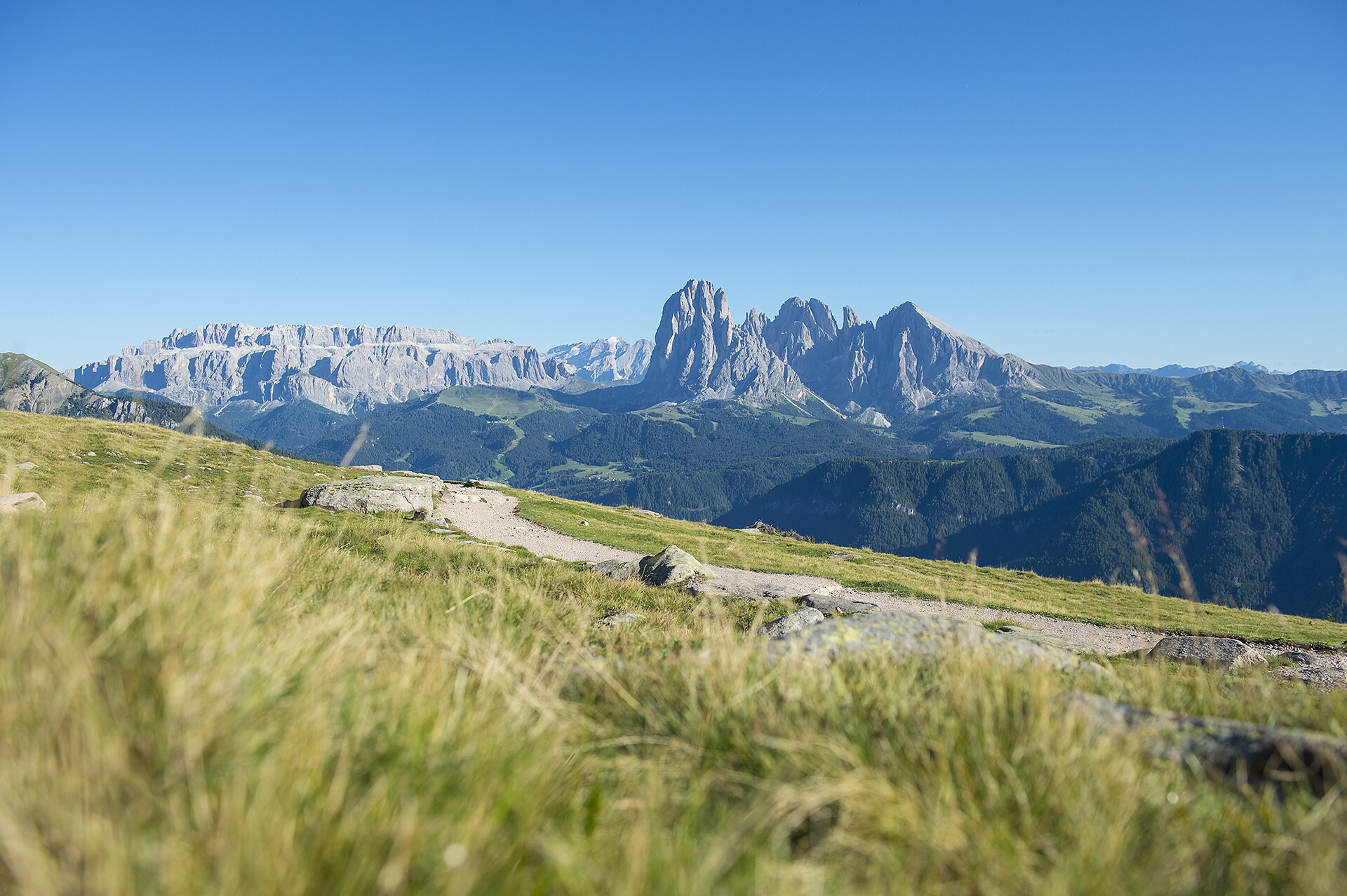
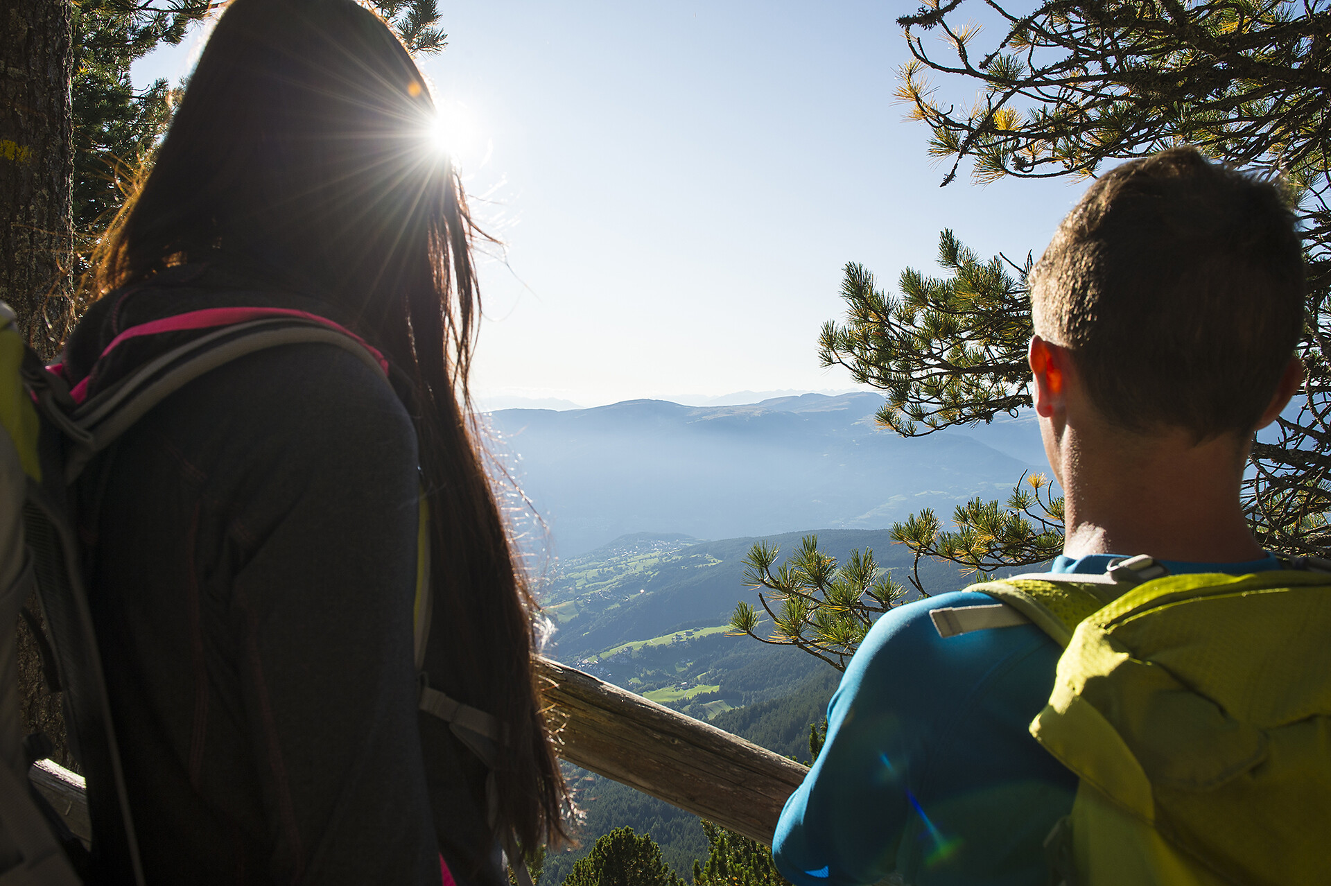


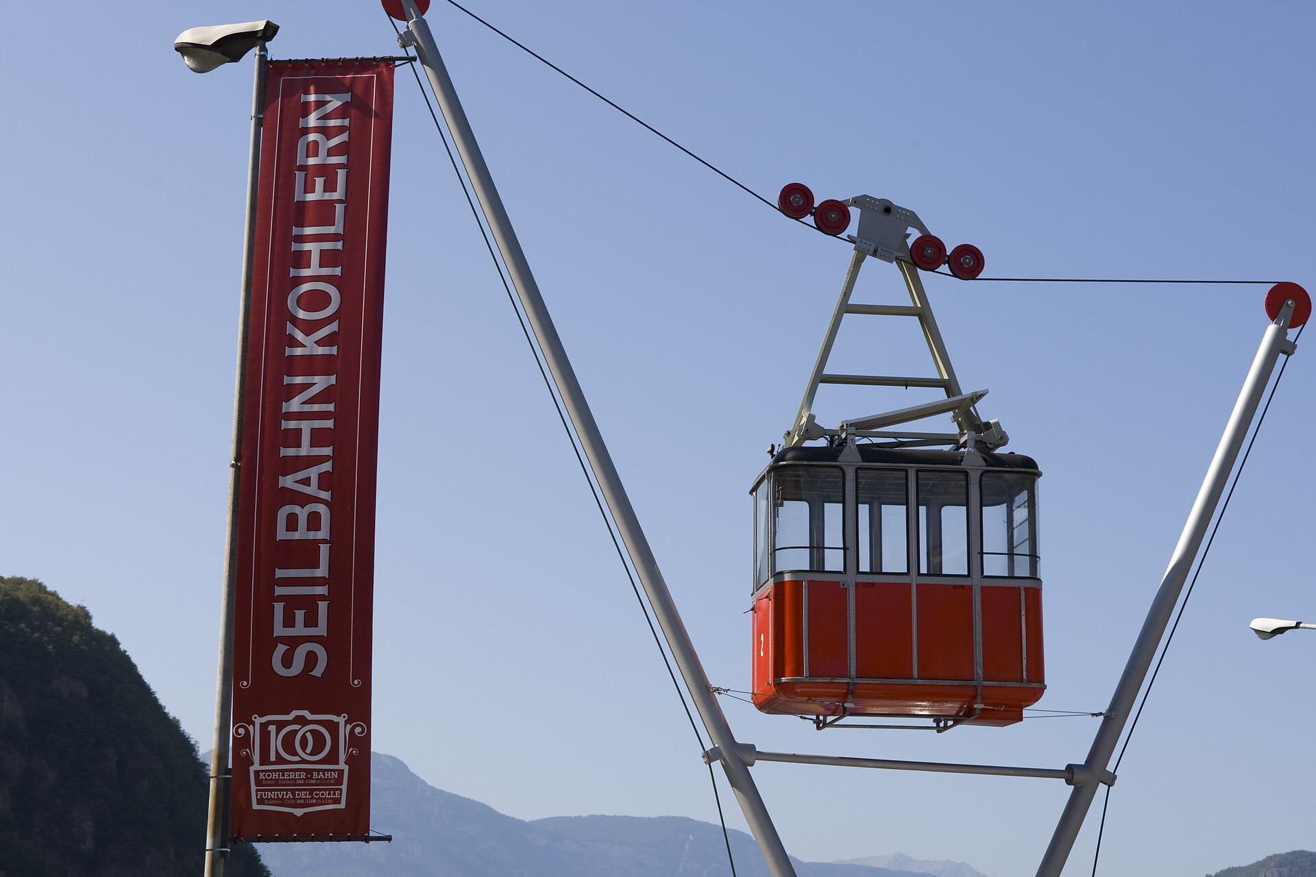
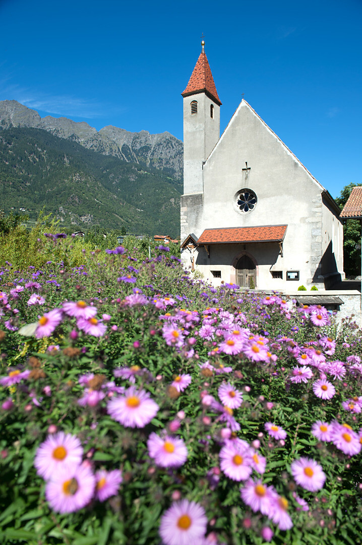

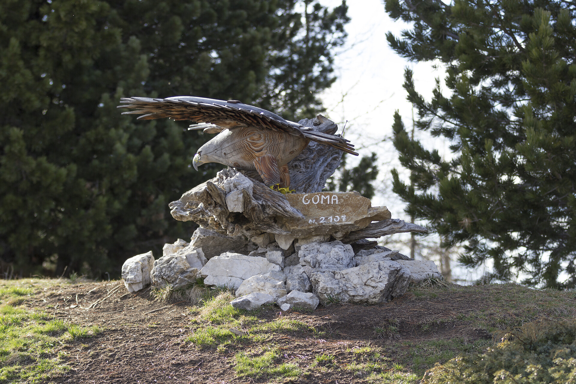
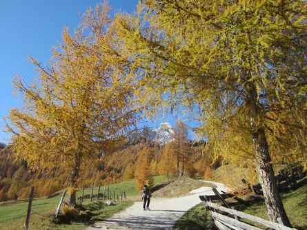
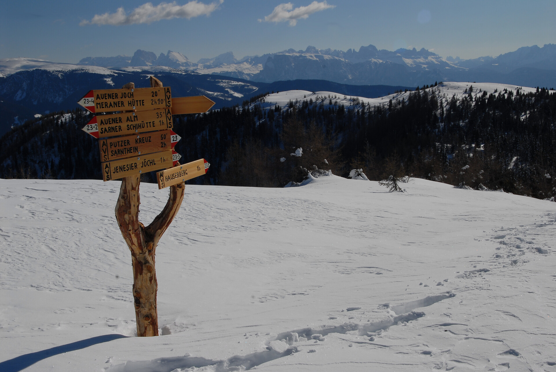
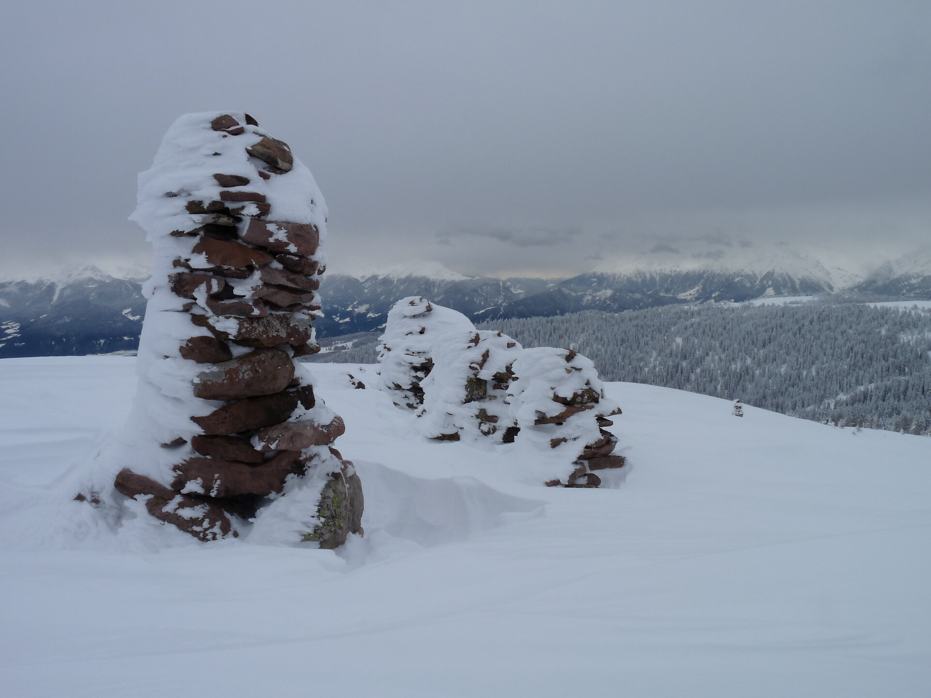
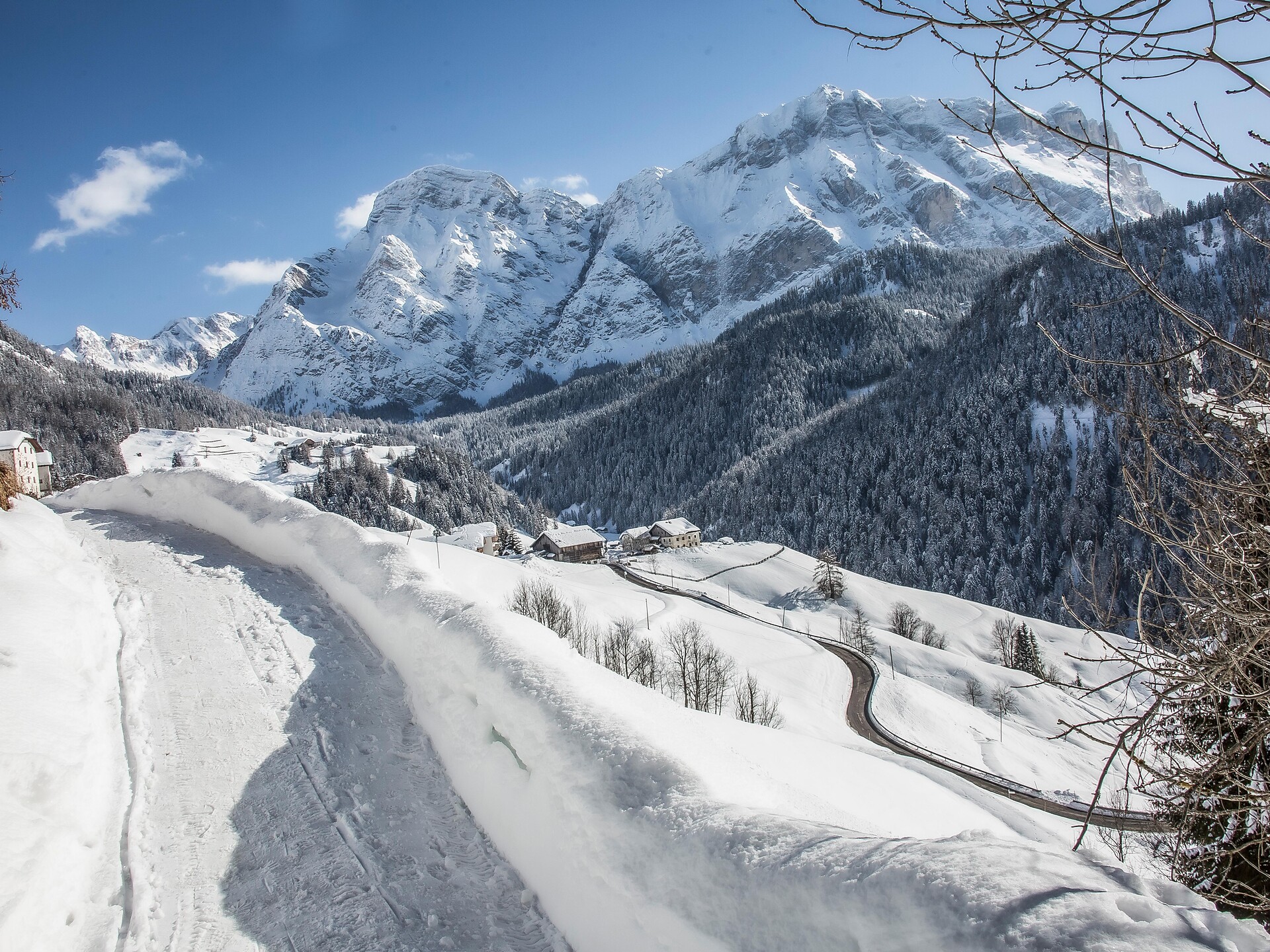
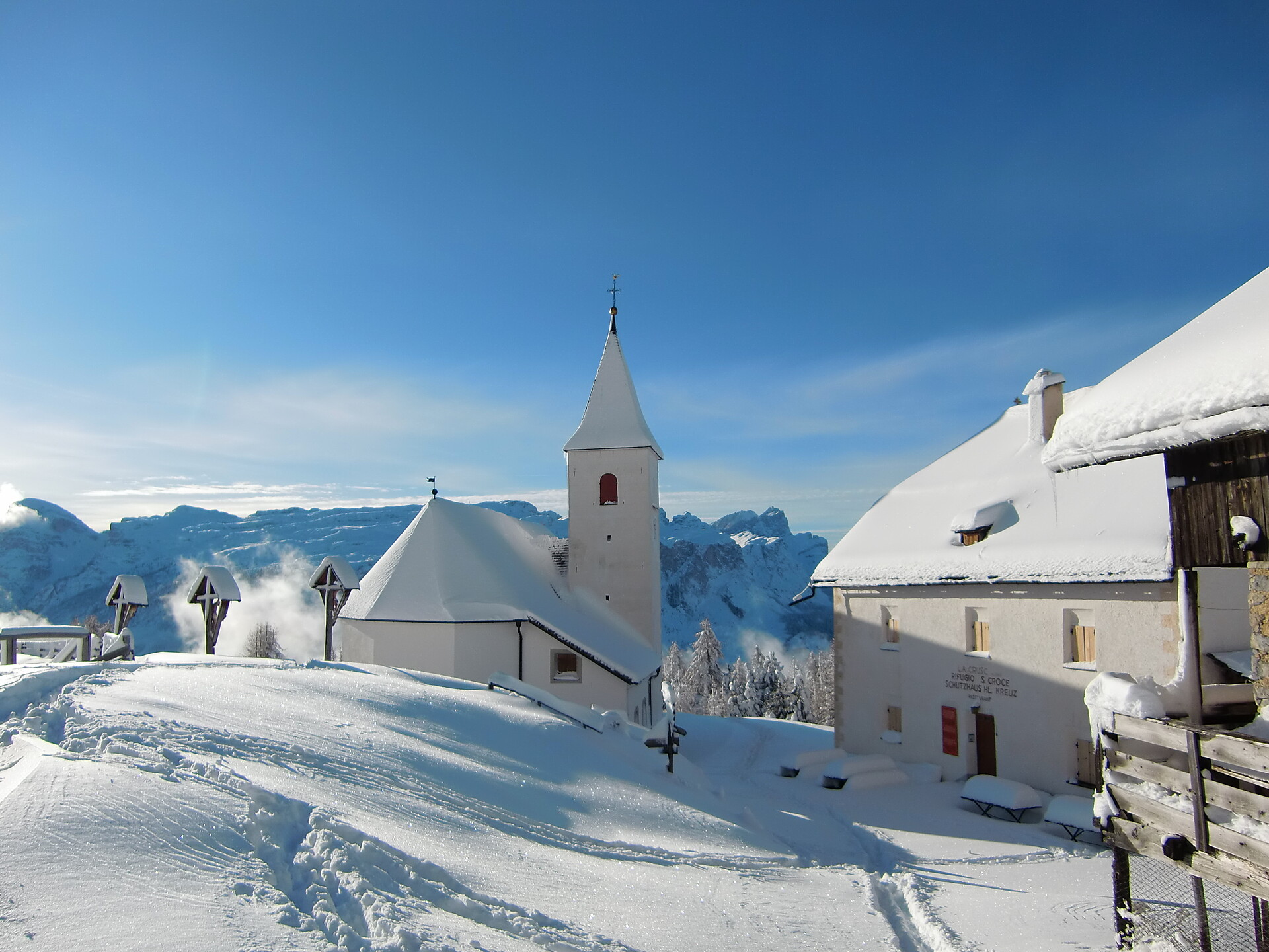
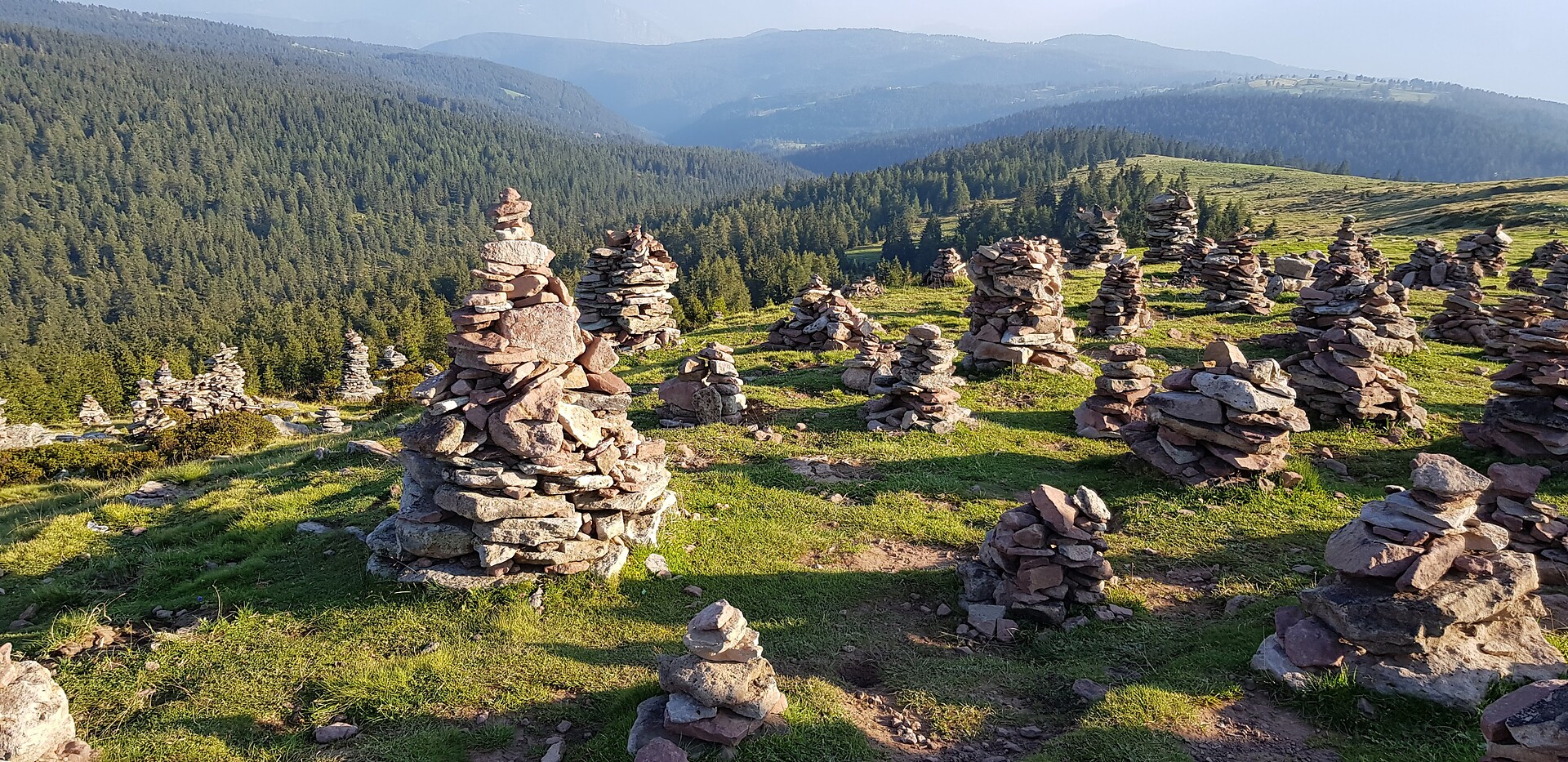

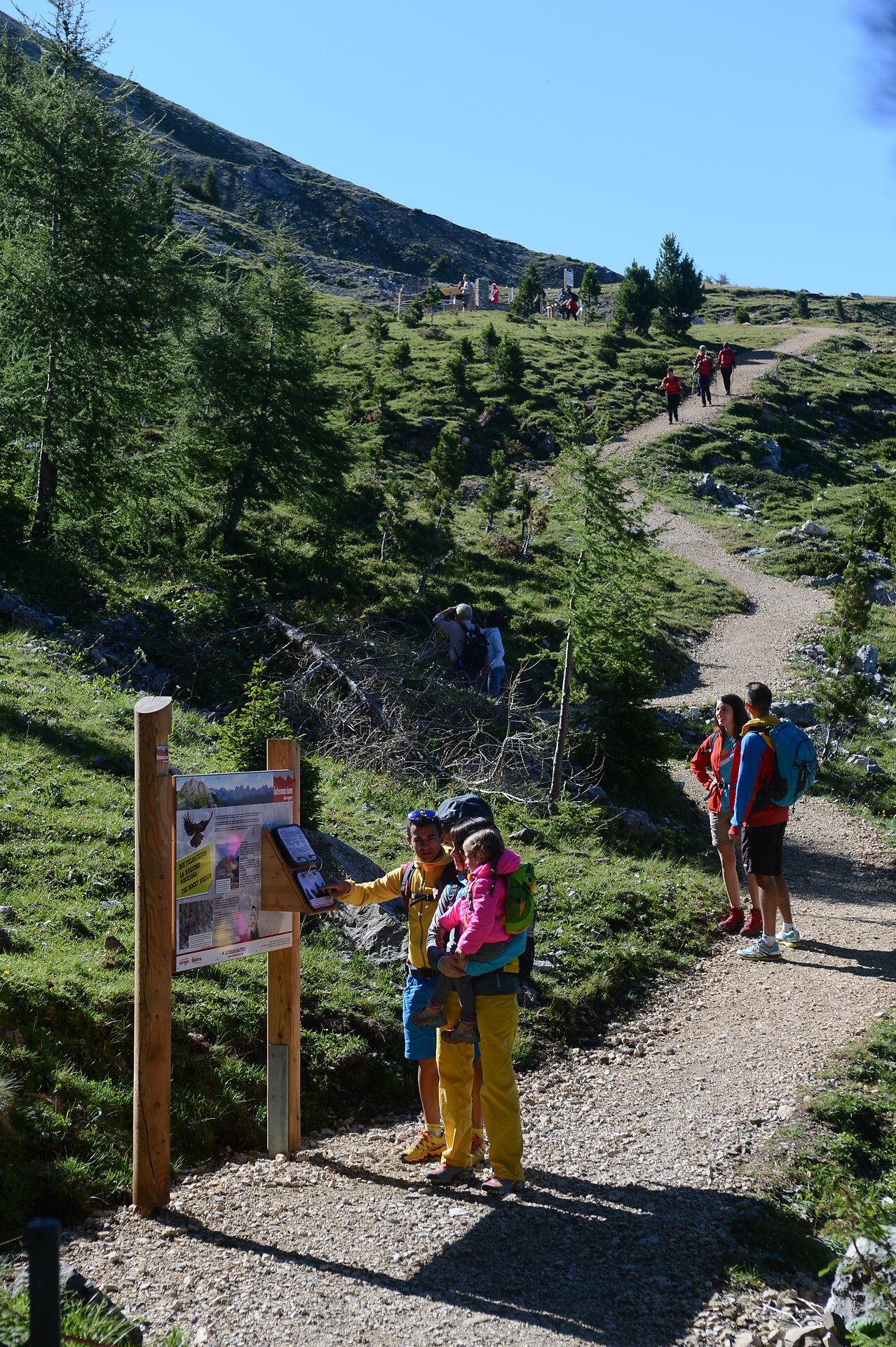
Über 16.000 Kilometer markierte, naturbelassene Wanderwege führen durch Südtirols kontrastreiche Landschaft, darunter Themenwege, Mehrtagestouren und Hochalpinsteige. Mit Seilbahnen überwindest du die ersten Höhenmeter und kannst dann direkt deine Panoramawanderung starten – etwa auf Meran 2000, auf der Plose oder am Kronplatz. Durch Südtirol führen außerdem der Europäische Fernwanderweg E5, der Jakobsweg und der Europahöhenweg 2. Zur Rast und Stärkung laden die zahlreichen Almenhütten. Von klein und urig bis elegant und innovativ mit gehobener Küche und großer Weinkarte. Schutz vor Wind und Wetter bieten spektakulär gelegene Schutzhütten. Kletterprofis und Anfänger gehen auf 50 Klettersteigen in den Schwierigkeitsgraden A bis F auf Tuchfühlung mit dem Felsen. Hier ist für jede Kondition das Passende dabei.
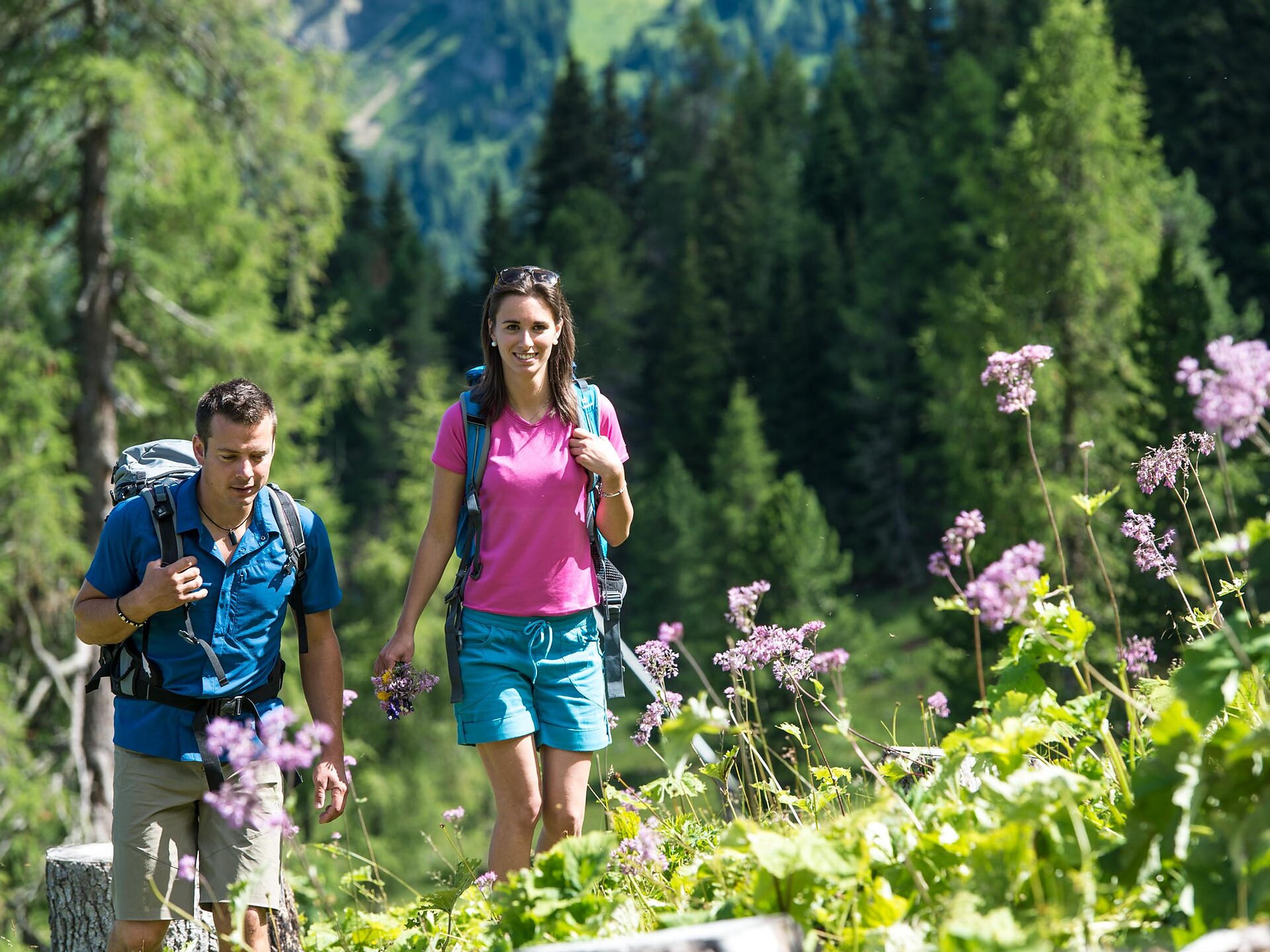
Hiking
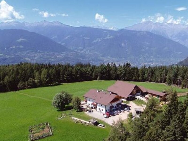
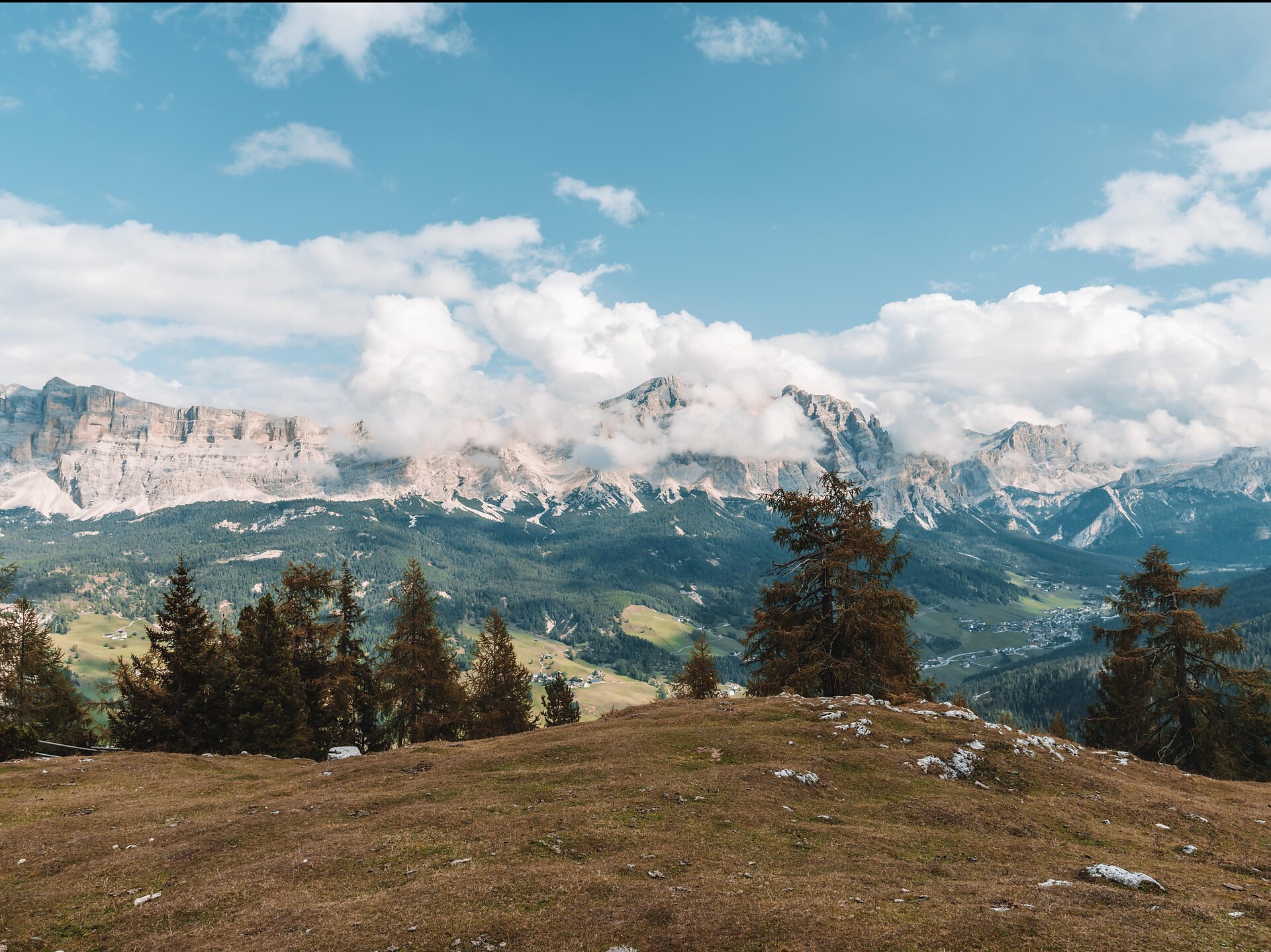
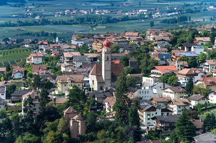
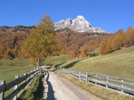
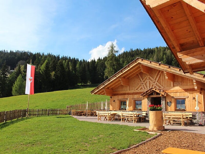
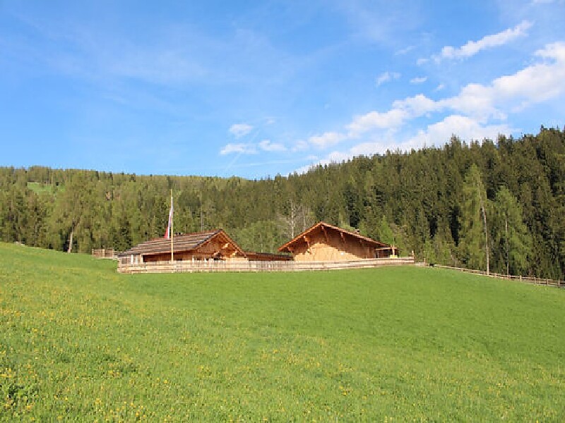
Welschnofen/Nova Levante, Dolomites Region Eggental
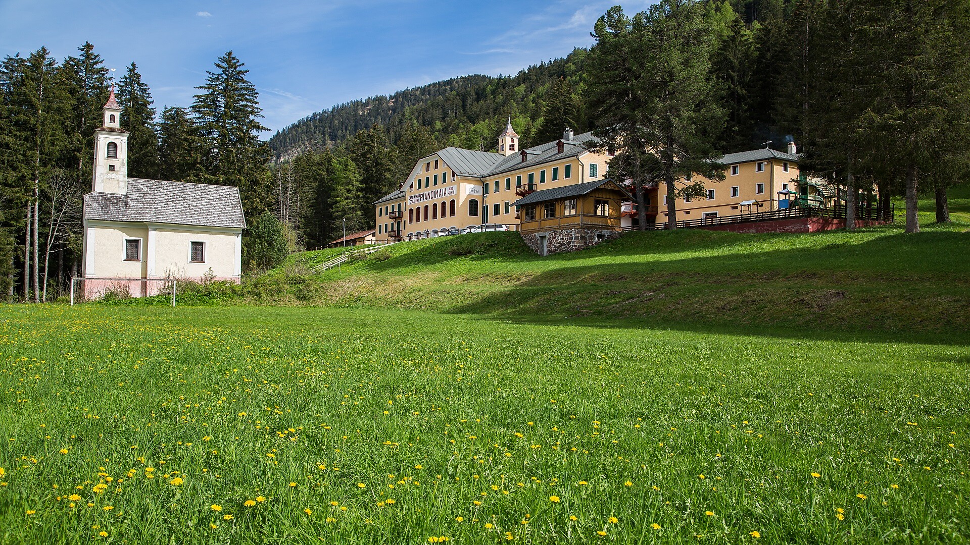
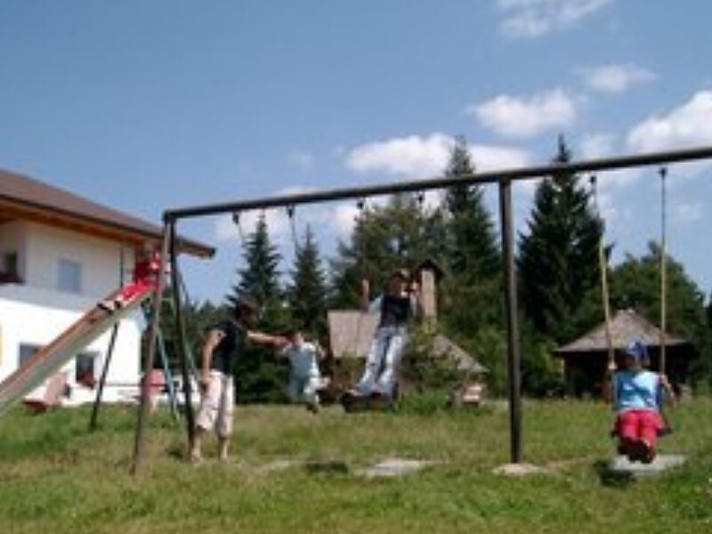
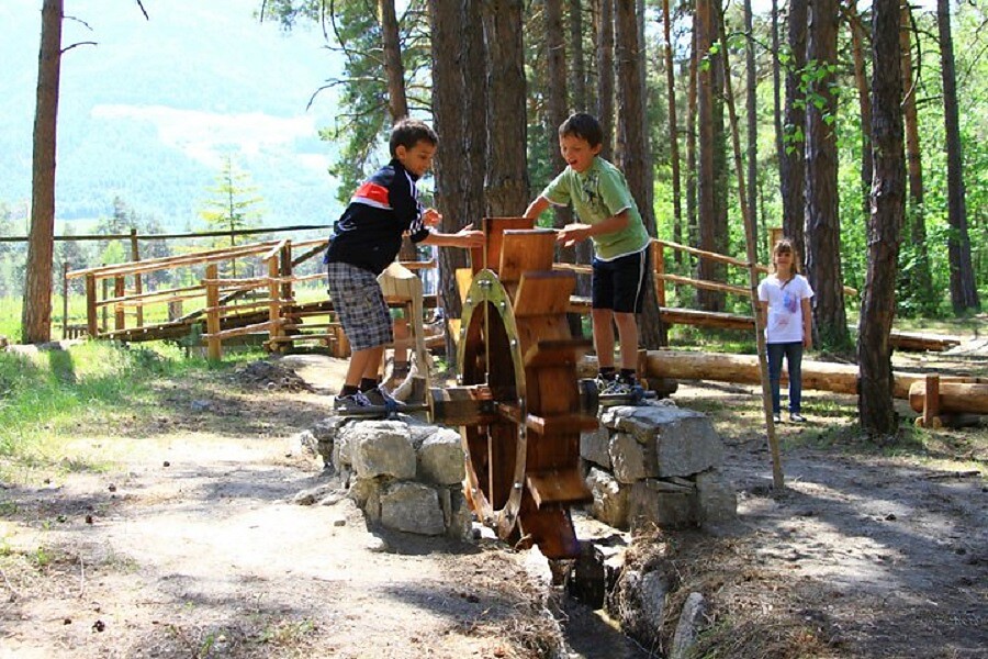
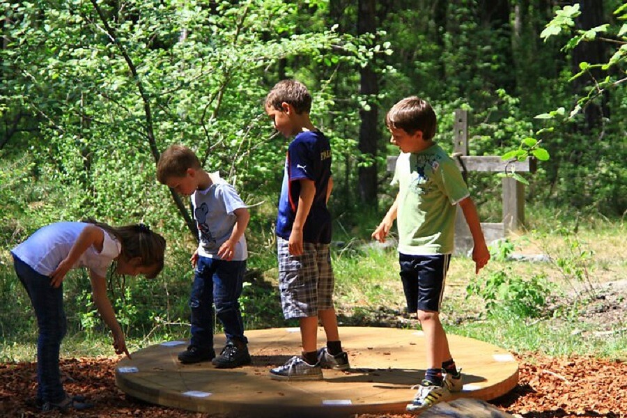
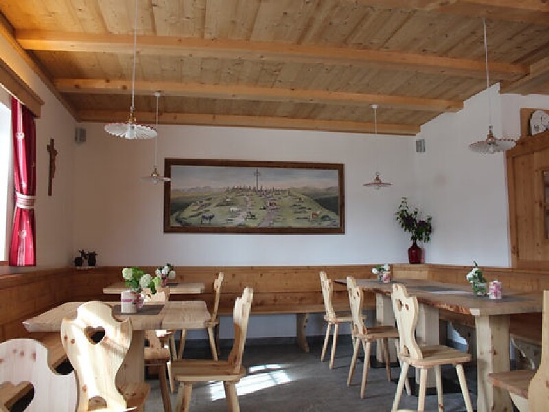
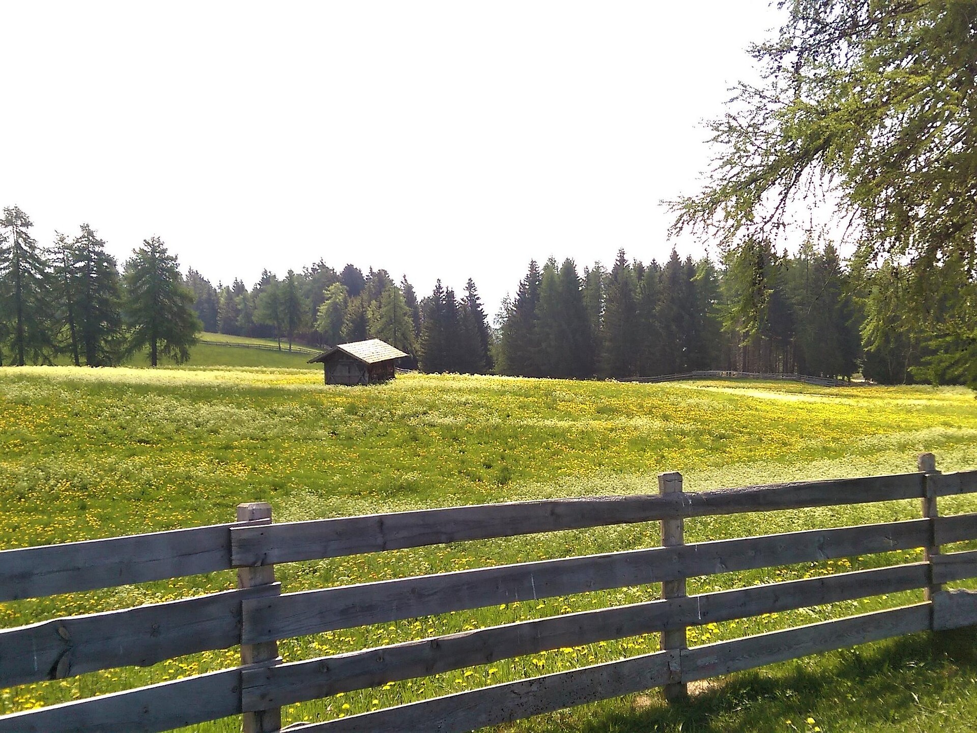
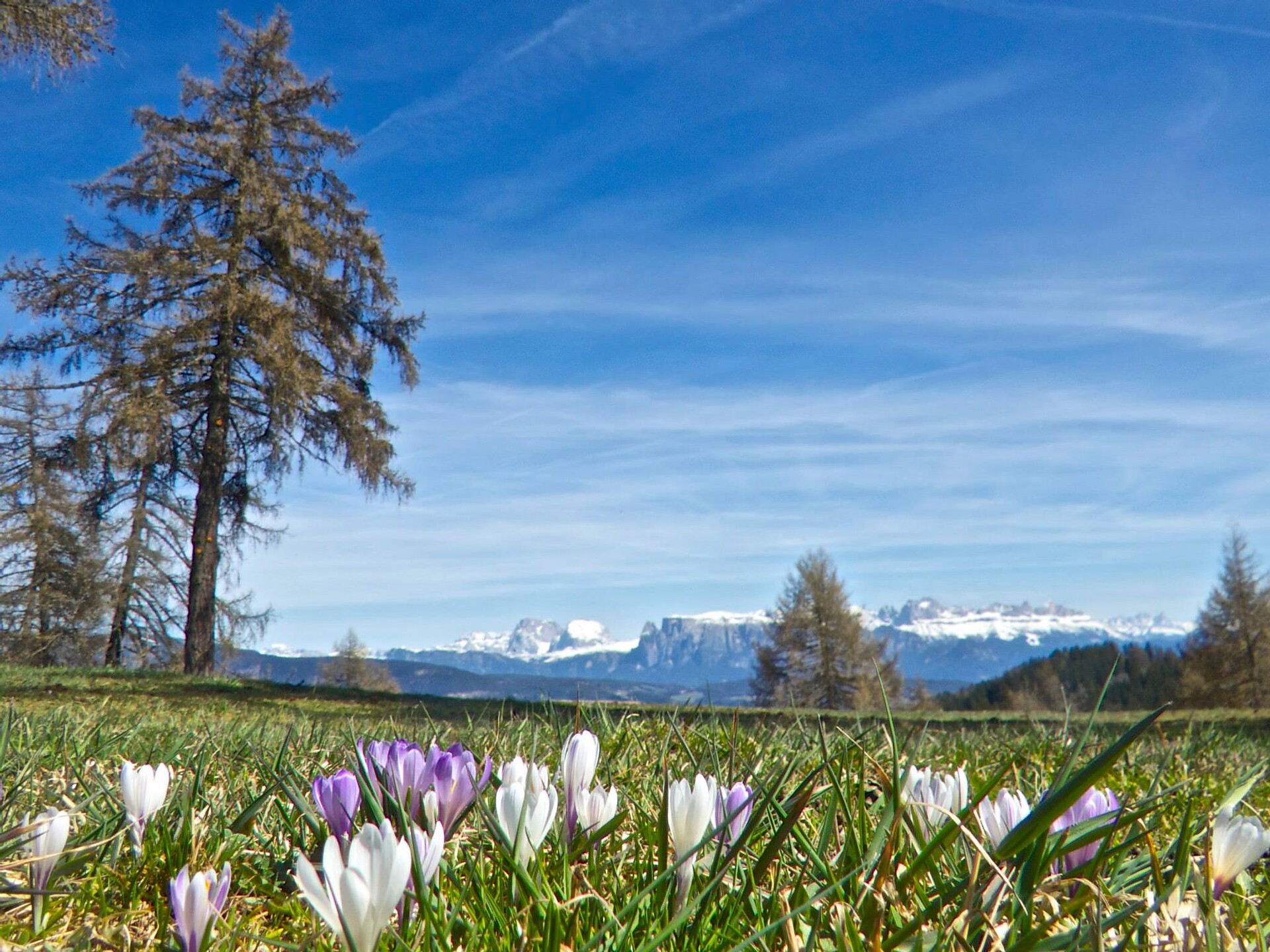
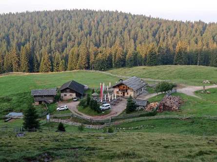
This leisurely hike leads below the Catinaccio/Rosengarten on a pleasant trail through forest and flowering mountain meadows to the Ochsenhütte hut. Homemade South Tyrolean specialities and delicious cakes can be enjoyed on the beautiful sun terrace with mountain views, while the children let off steam on the playground.


