Přeskočit na obsah

přidáno k oblíbeným

odebráno z oblíbených

Jejda! Došlo k problému, zkuste to prosím znovu

Vytváří se váš účet

Váš účet byl úspěšně vytvořen a nyní jste přihlášeni

Jste úspěšně přihlášeni!

Váš účet byl úspěšně vytvořen, ale nepodařilo se nám vás automaticky přihlásit

Jste odhlášeni

Filtr
Vybrané filtry
    Úroveň obtížnosti
    Doba trvání
    Vzdálenost v km

    Pěší turistika v Jižním Tyrolsku

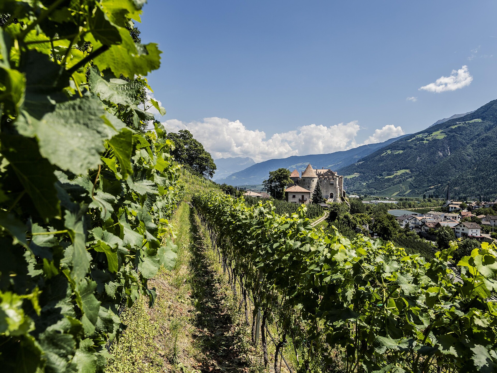
    Sluníčko svítí, všechno jste si sbalili - kam chcete jet dál? Vrcholky, štíty a věže Dolomit se lákavě třpytí v ranním světle. Jsou z vrcholu ještě krásnější? Údolí jsou protkána stezkami vedoucími přes vinice a jablečné sady, kolem impozantních hradů, kolem kouzelných jezer a podél kanálových stezek Waalweg. Jižní Tyrolsko nabízí více než 16 000 km značených turistických tras neustále se měnící přírodní krajinou, včetně tematických stezek, vícedenních túr a vysokohorských stezek.
    Výsledky
    Themed Hikes
    Hike Corvara - Colfosco
    Corvara, Dolomites Region Alta Badia

    Easy walk from Corvara along the river to Hotel Bel Sit, passing through Pescosta to Colfosco and back to Corvara.

    Obtížnost: nízká
    182 m nadmořská výška
    2h:30 min doba trvání
    Hiking
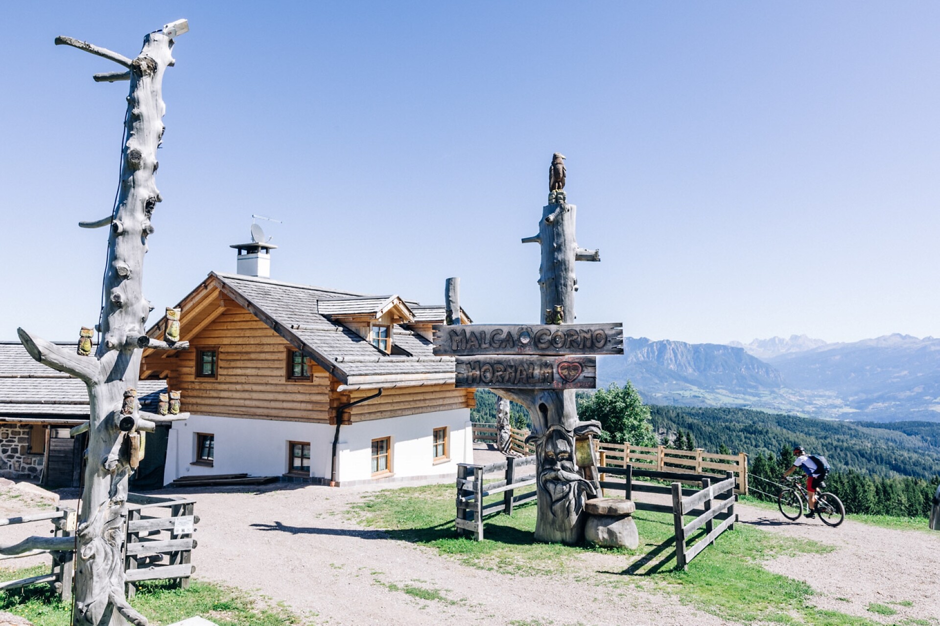
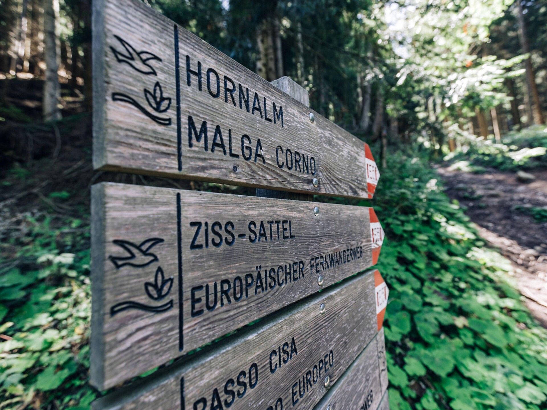
    Truden/Trodena - Horn Alm/Malga Corno - Truden/Trodena
    Truden/Trodena
    Starting in Trodena/Truden we take the European long distance path E5. We walk through a wonderful mixed coniferous forest on a forestry trail and we get to the col "Ziss-Sattel". The trail continues to the  "Hornalm" on 1.710 m. The panoramic view from here is surely worth the tiring climb: You have a wonderful view over the mountain chain "Lagoraikette", the Palagruppe, the two mountains Schwarzhorn and Weißhorn, the Latemar, the Rosengarten group, the Schlern and the Alps of the Stubaital and Ötztal. After a stop for a bite to eat, we take the path E5 back to Trodena. The Alp is open in Winter from Tuesday to Sunday.
    Obtížnost: vysoká
    685 m nadmořská výška
    4h:05 min doba trvání
    Hiking
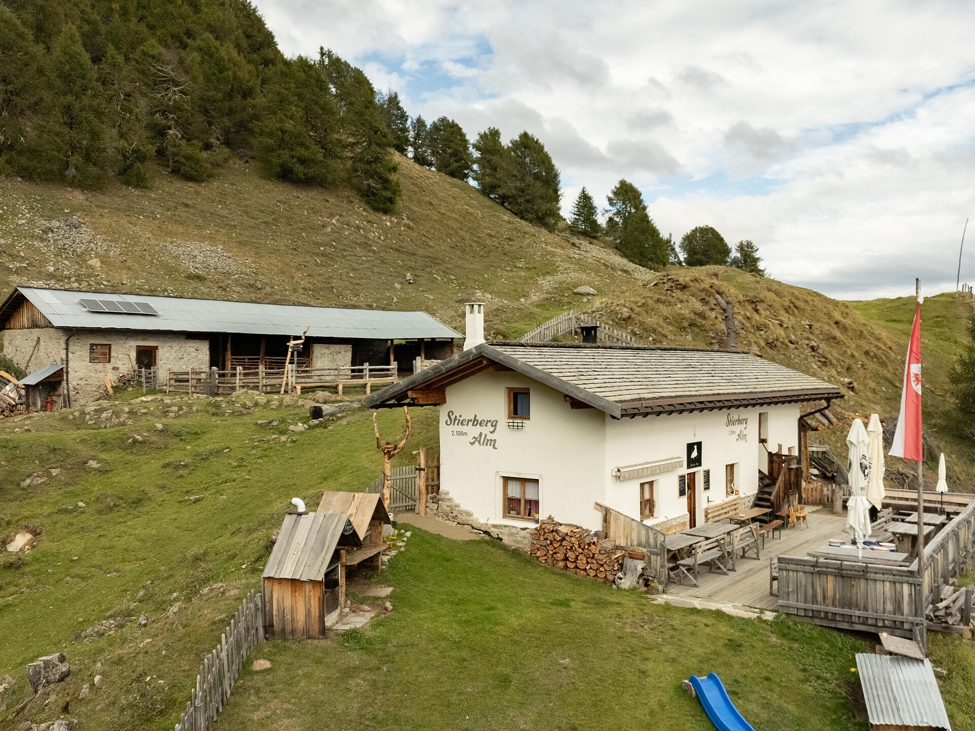
    To the Stierberg Alm
    Kastelbell-Tschars/Castelbello-Ciardes, Vinschgau/Val Venosta
    Adventurous hike to the Stierberg Alm mountain pasture on the Kastelbell Sonnenberg mountain
    Obtížnost: střední
    379 m nadmořská výška
    1h:15 min doba trvání
    Hiking
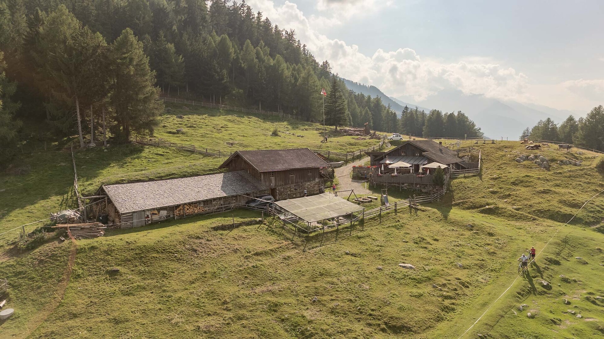
    Mountain hut hike at Marzoner Alm
    Kastelbell-Tschars/Castelbello-Ciardes, Vinschgau/Val Venosta

    The Marzon Alm Pasture is ideal for families.
    You can walk also with the babybuggy.

    Obtížnost: nízká
    132 m nadmořská výška
    0h:30 min doba trvání
    Themed Hikes
    Via Vinum Venostis
    Kastelbell-Tschars/Castelbello-Ciardes, Vinschgau/Val Venosta

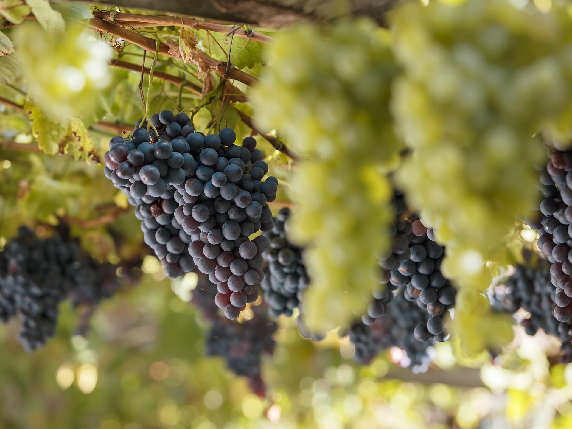
    The new theme path provides an insight into viniculture and wine history and spans an arc between agriculture and gastronomy. Different information panels describe local grape varieties, landscape and culinary specialties. The Val Venosta wine path is perfectly walkable from Easter to November and takes you along the irrigation channel paths (Latschander irrigation channel path and Senales irrigation channel path) over long distances. This hike of about 2.5 hours can be made in both directions and it is also possible to choose specific sections only.

    Obtížnost: střední
    258 m nadmořská výška
    2h:40 min doba trvání
    Long-Distance Hiking Paths
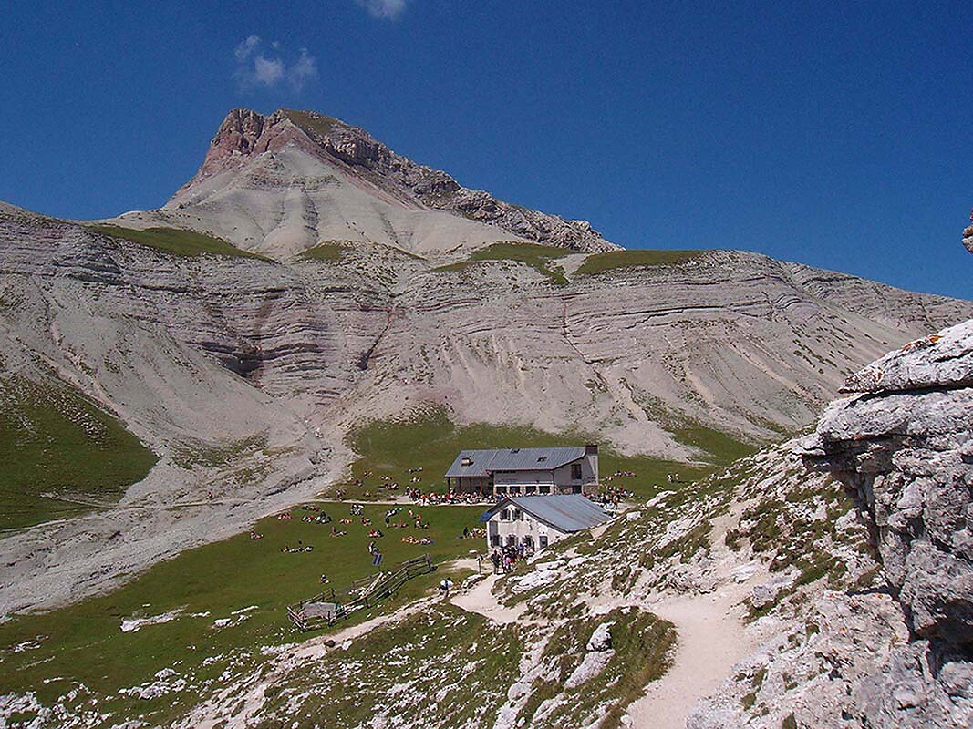
    UNESCO Geotrail - 6. stage: from Puez mountain hut to Armentarola
    Badia, Dolomites Region Alta Badia

    The UNESCO Geotrail crosses in 10 stages the Dolomites of South Tyrol, where the walker will meet some of the nicest and most interesting mountainous group with a wonderful view.
    This stage starts from Puez mountain hut to Armentarola.

    Obtížnost: střední
    846 m nadmořská výška
    6h:49 min doba trvání
    Hiking
    Valser Loop Trail: Scenic Walking through Nature and Village Life
    Brixen/Bressanone and environs
    The Valser Loop Trail is a family-friendly and easy hike offering scenic views, cultural charm, and interactive highlights along the way — perfect for anyone seeking a gentle and rewarding outdoor experience.
    Obtížnost: nízká
    164 m nadmořská výška
    1h:19 min doba trvání
    Hiking
    Three-mountain hut hike at Nörderberg mountain
    Kastelbell-Tschars/Castelbello-Ciardes, Vinschgau/Val Venosta

    The three-mountain hut hike to Marzoner Alm, Zirmtal Alm and Tomberger/Alt Alm at the Nörderberg mountain is a very special mountain hut experience.

    Obtížnost: střední
    810 m nadmořská výška
    3h:30 min doba trvání
    Themed Hikes
    Discovering the legend of "The farmer of Corvara and the ogre"
    Corvara, Dolomites Region Alta Badia

    This six-hour trail immerses hiking fans in the stories of the farmer of Corvara and the ogre. Along the way, you will discover more about time-honored virtues from long ago, which are still relevant today.

    Disocver the whole legend in the book: "Walking through an enchanted land" available in the tourist offices.


    Obtížnost: střední
    902 m nadmořská výška
    6h:01 min doba trvání
    Hiking
    To the Trumser Alb'l
    Kastelbell-Tschars/Castelbello-Ciardes, Vinschgau/Val Venosta
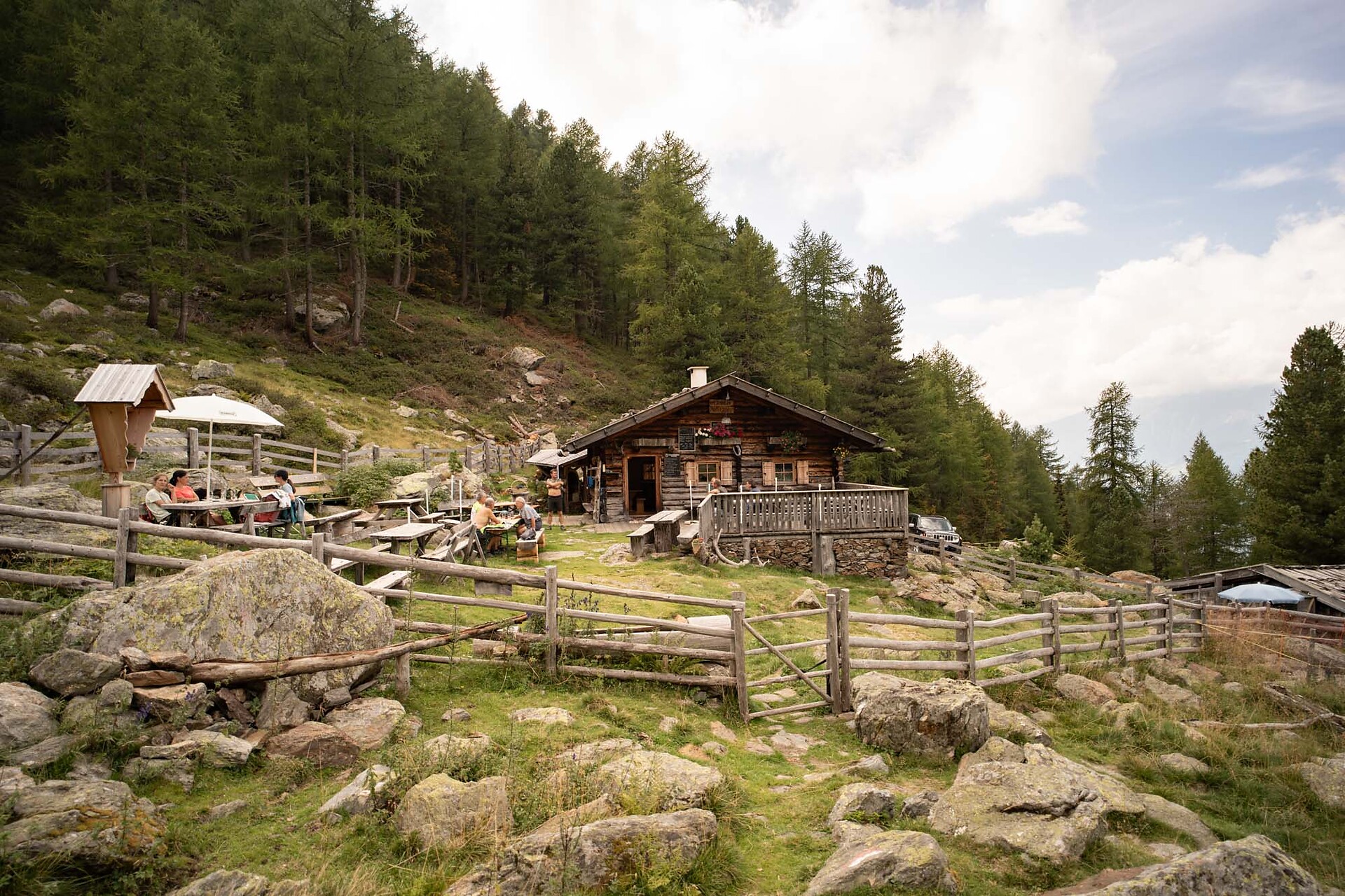
    The newly opened Alm on Trumsberg offers a unique mountain experience on the Vinschger Sonnenberg mountain not only for hikers but also for bikers.
    Obtížnost: střední
    507 m nadmořská výška
    1h:30 min doba trvání
    Hiking
    Latschiniger Alm and Freiberger Mahd
    Kastelbell-Tschars/Castelbello-Ciardes, Vinschgau/Val Venosta

    Excursion to the pastures for the whole family at the Freiberg mountain near Kastelbell

    Obtížnost: střední
    489 m nadmořská výška
    3h:00 min doba trvání
    Themed Hikes
    Circular hike on the eastern side of the Sella massif
    Corvara, Dolomites Region Alta Badia

    This hike on the eastern edge of the Sella massif, with start in Corvara, is a circular hike with little variation in altitude that presents no great technical difficulties for hikers. Nevertheless, you need to be fit before attempting this hike. The hike is particularly interesting from a geological point of view as it crosses some of the characteristic rock formations of the Dolomites and has some especially interesting viewpoints.

    Obtížnost: střední
    464 m nadmořská výška
    2h:43 min doba trvání
    Hiking
    Hiking to the Latschiniger Alm
    Kastelbell-Tschars/Castelbello-Ciardes, Vinschgau/Val Venosta

    The Latschiniger Alm Pasture is situated on the Monte Tramontana in Castelbello. Hikers will enjoy simple tyrolean food and local products.

    Obtížnost: střední
    1009 m nadmořská výška
    3h:06 min doba trvání
    Hiking
    Hike from Corvara to the Col Alt – Pralongiá plateau
    Corvara, Dolomites Region Alta Badia

    This easy hike with little variation in altitude goes along gravel roads and wide trails across a high plateau typical of the Dolomites, with Alpine pasture land and inviting mountain huts. The panoramic views are amazing, ranging from the local Dolomites to the Marmolada glacier and the Austrian Alps.

    Obtížnost: nízká
    341 m nadmořská výška
    2h:25 min doba trvání
    Themed Hikes
    Ortlsteig trail
    Kastelbell-Tschars/Castelbello-Ciardes, Vinschgau/Val Venosta

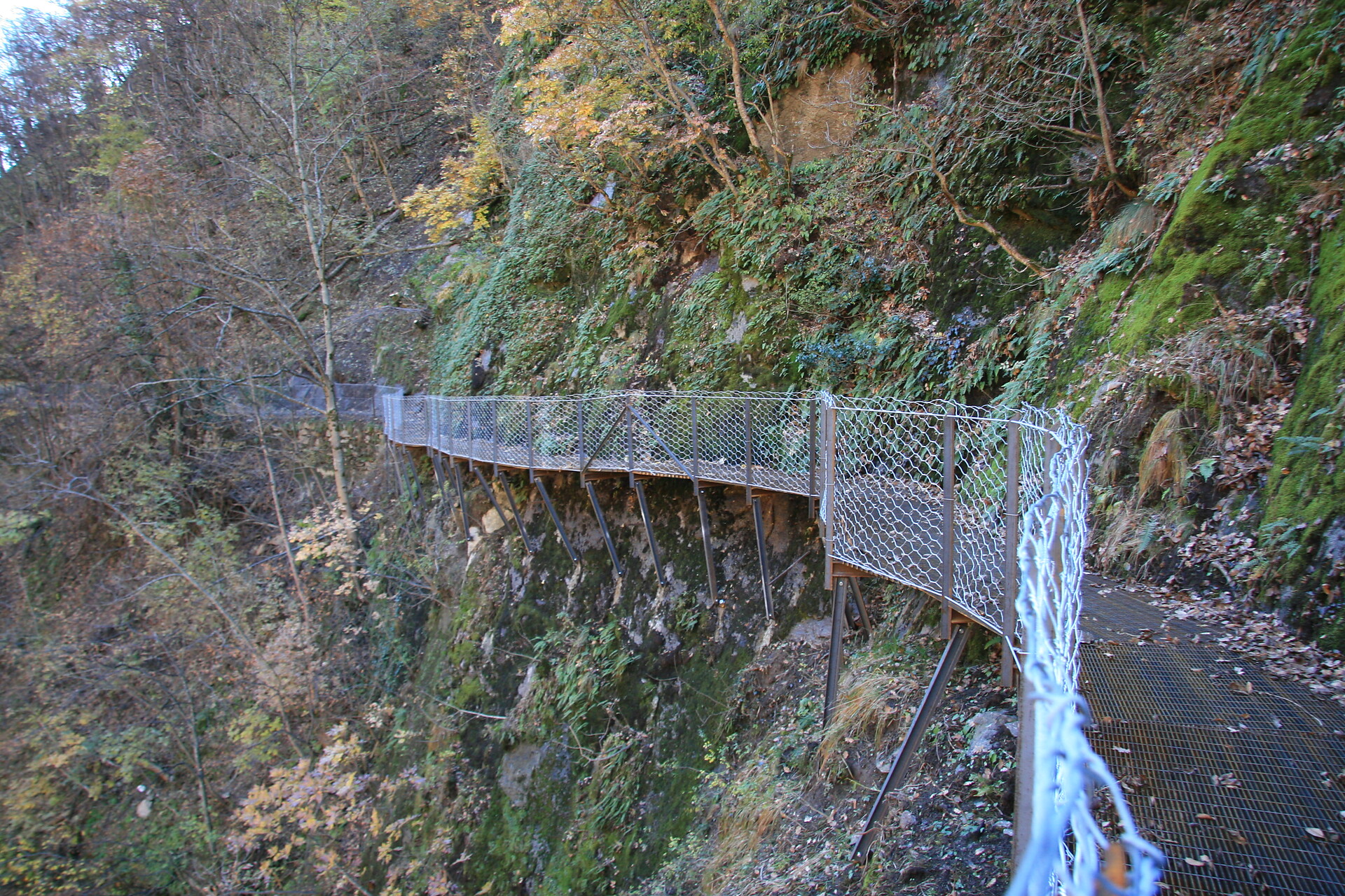
    The sun, in the dialect "Sunn", is the all-determining force on the Vinschger Sonnenberg. It heats up the rocks and bathes the landscape in its golden light. Wonderful starting points alternate with curious, exciting and unexpected insights into the secrets of a sensitive balance of natural forces.

    Obtížnost: střední
    47 m nadmořská výška
    1h:30 min doba trvání
    Hiking
    Panoramic hike on the Pralongiá - Bioch – Arlara plateau
    Corvara, Dolomites Region Alta Badia

    The Pralongiá plateau above Corvara stands out as an island of green among the pale shades of the beautiful Dolomite rocks, gently diping plains take the palce of jagged peaks, with a sea of flowers and extensive terrain just perfect for hiking, with endless views.

    Obtížnost: nízká
    252 m nadmořská výška
    2h:52 min doba trvání
    Themed Hikes
    Kalkofen path
    Kastelbell-Tschars/Castelbello-Ciardes, Vinschgau/Val Venosta

    We suggest you to start at the train station in Castelbello that you can reach by Val Venosta train or by car.

    Obtížnost: střední
    256 m nadmořská výška
    2h:00 min doba trvání
    Hiking
    Hike to the Zirmtal Alm
    Kastelbell-Tschars/Castelbello-Ciardes, Vinschgau/Val Venosta

    Hike on Nörderberg of Castelbello-Ciardes to the picturesque Zirmtals Lake and Malga Zirmtal.

    Obtížnost: střední
    517 m nadmořská výška
    1h:37 min doba trvání
    Hiking
    Gsindboden Circuit
    Naturns/Naturno, Meran/Merano and environs

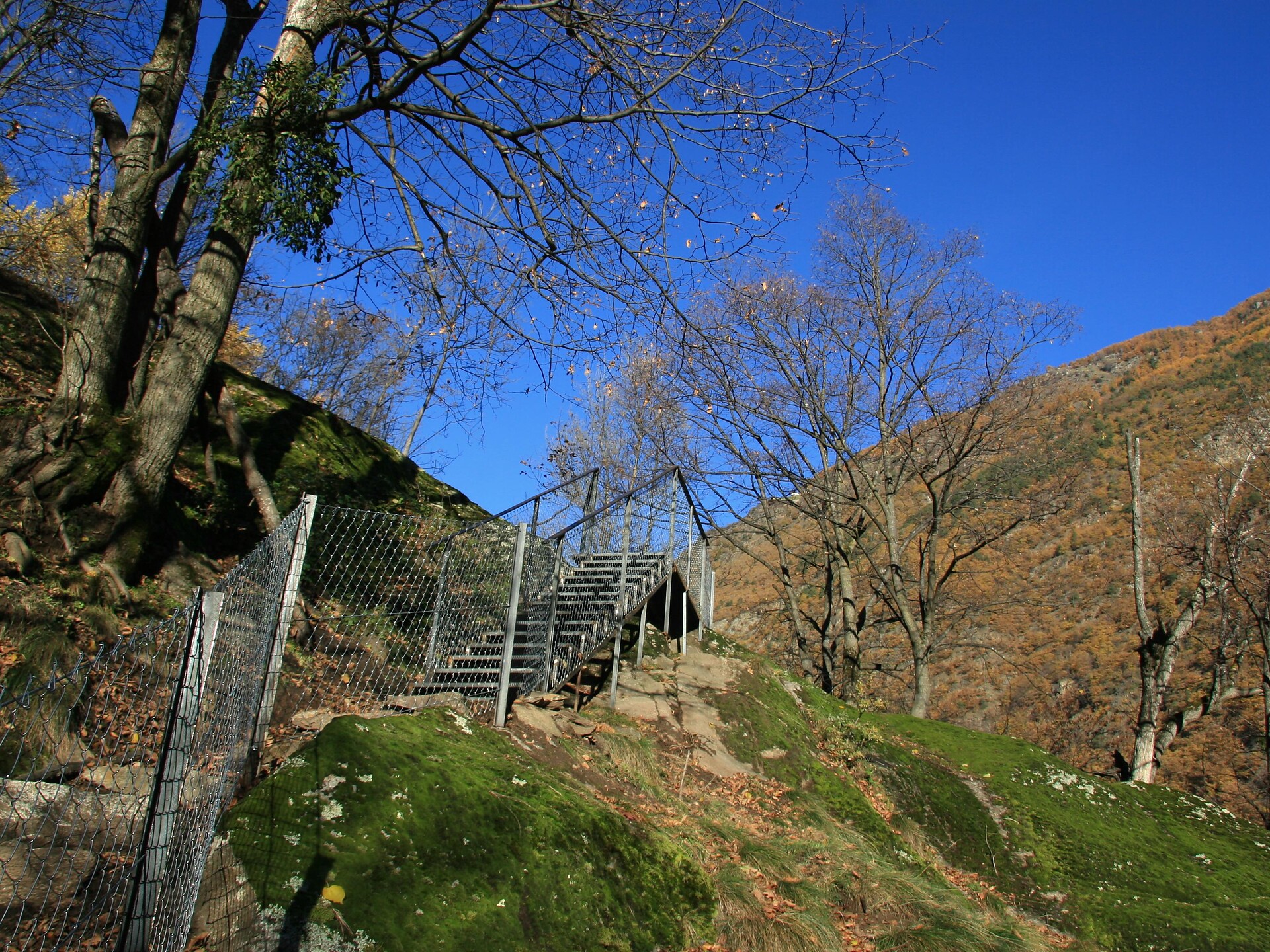
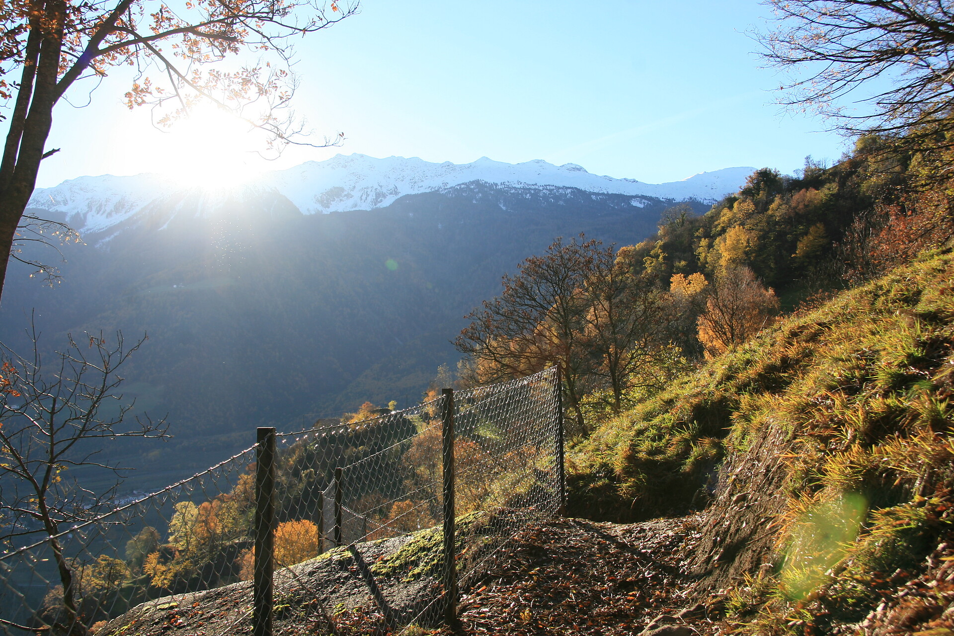
    The viewing platform on the Gsindboden offers a wonderful view over the orchards and vineyards in the valley, the mountain farms on the Sonnenberg and up to the glacier world of the rear Schnals Valley. Information boards inform hikers about the cultural history of the lower Vinschgau Valley, the discovery of "Ötzi"; and life in the vineyards, apple orchards and perpetual ice. 

    Obtížnost: střední
    216 m nadmořská výška
    1h:25 min doba trvání

      Über 16.000 Kilometer markierte, naturbelassene Wanderwege führen durch Südtirols kontrastreiche Landschaft, darunter Themenwege, Mehrtagestouren und Hochalpinsteige. Mit Seilbahnen überwindest du die ersten Höhenmeter und kannst dann direkt deine Panoramawanderung starten – etwa auf Meran 2000, auf der Plose oder am Kronplatz. Durch Südtirol führen außerdem der Europäische Fernwanderweg E5, der Jakobsweg und der Europahöhenweg 2. Zur Rast und Stärkung laden die zahlreichen Almenhütten. Von klein und urig bis elegant und innovativ mit gehobener Küche und großer Weinkarte. Schutz vor Wind und Wetter bieten spektakulär gelegene Schutzhütten. Kletterprofis und Anfänger gehen auf 50 Klettersteigen in den Schwierigkeitsgraden A bis F auf Tuchfühlung mit dem Felsen. Hier ist für jede Kondition das Passende dabei.