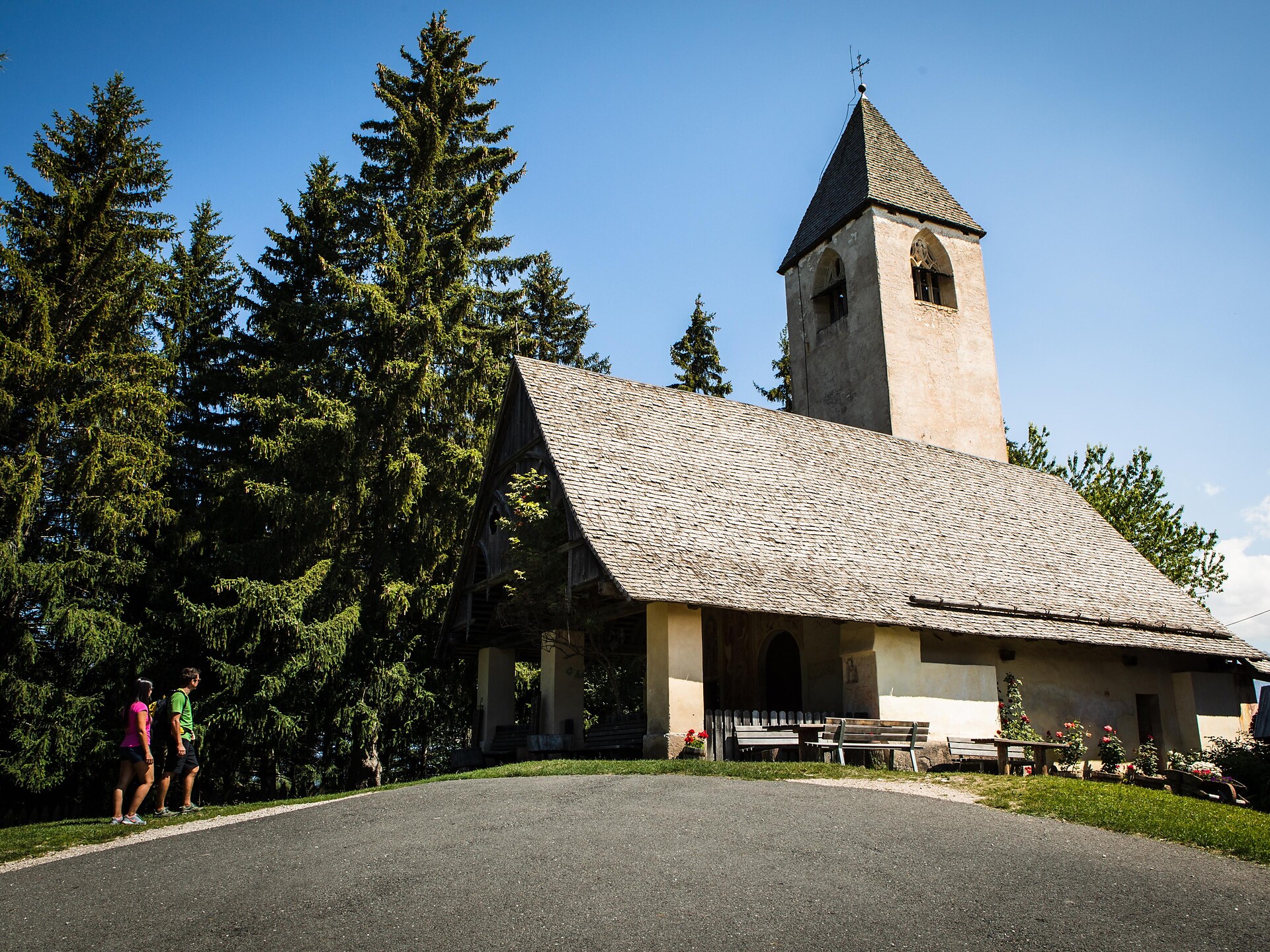
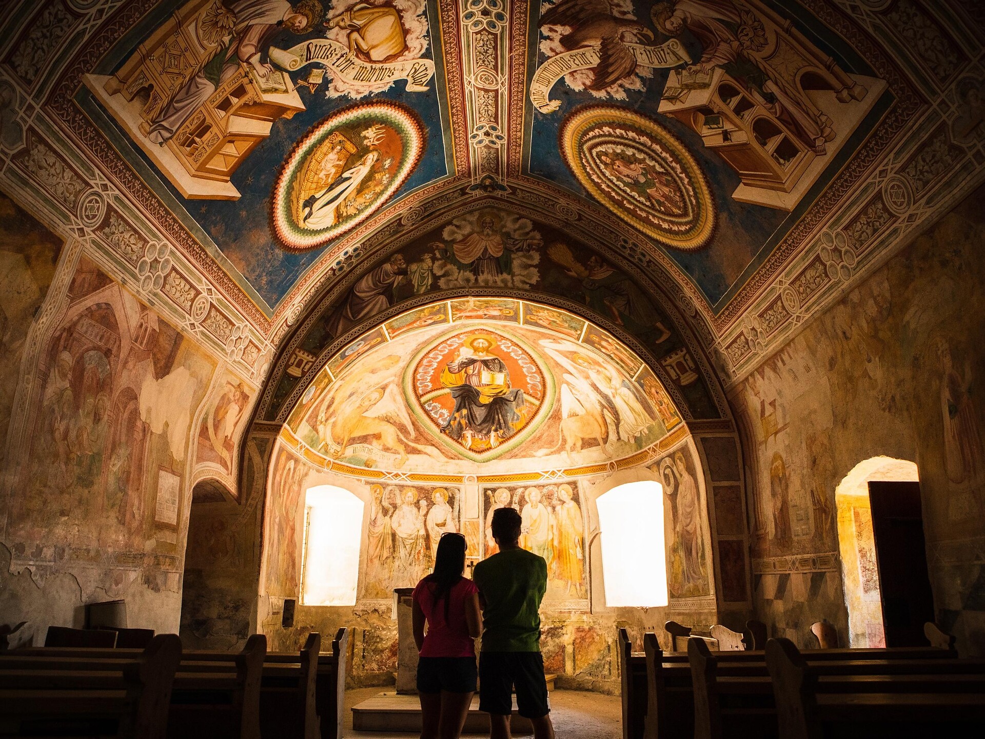
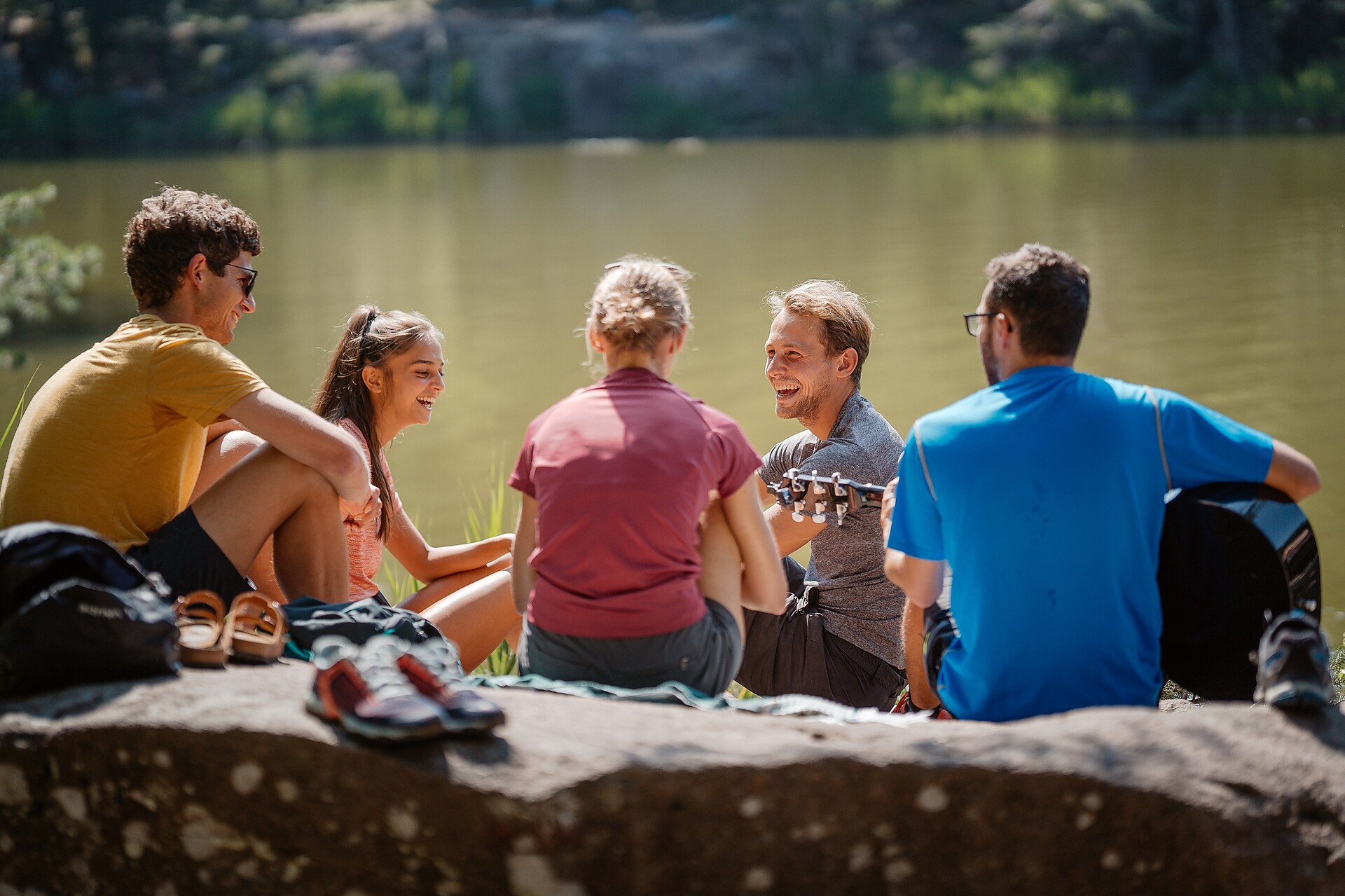
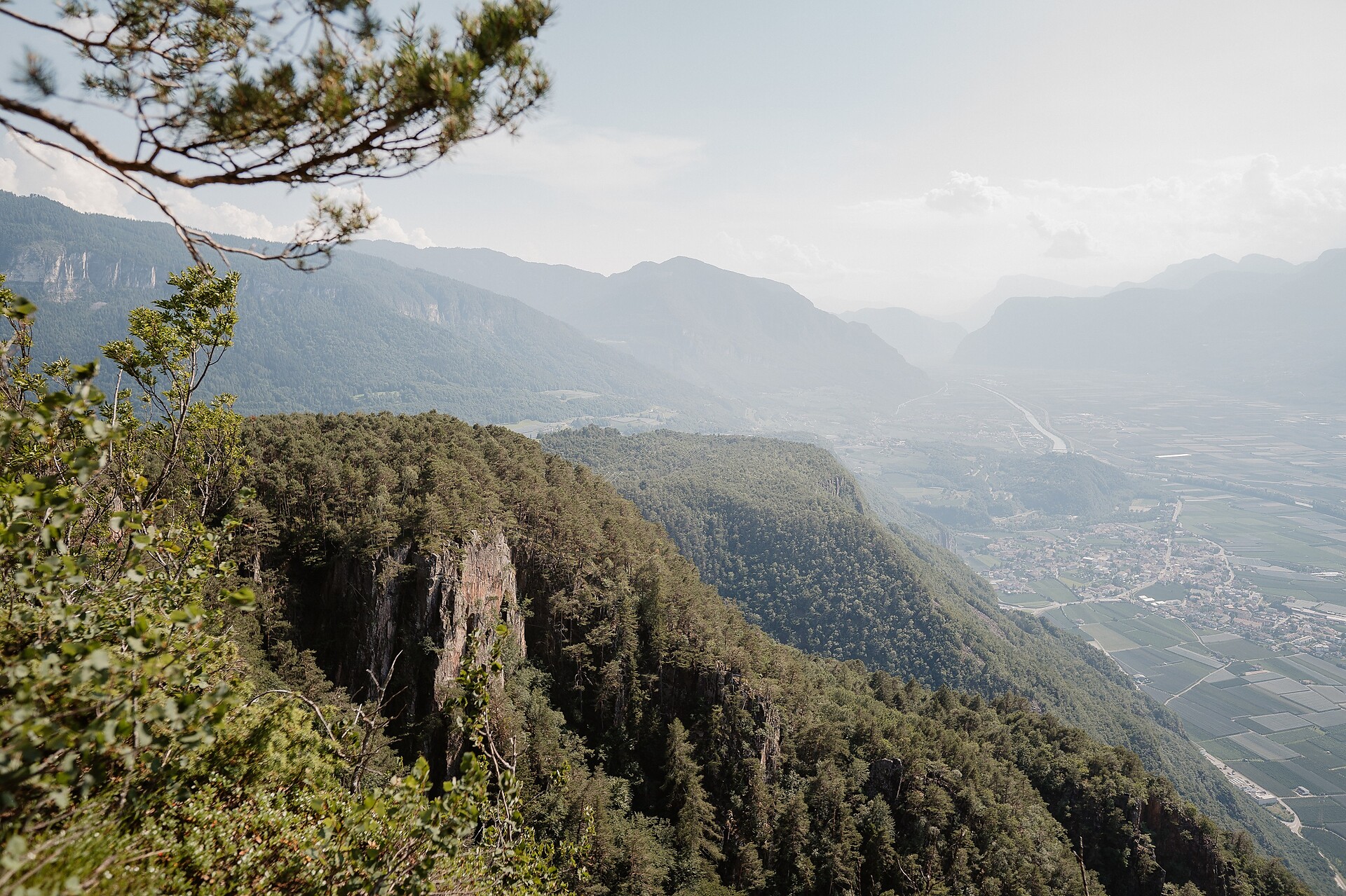
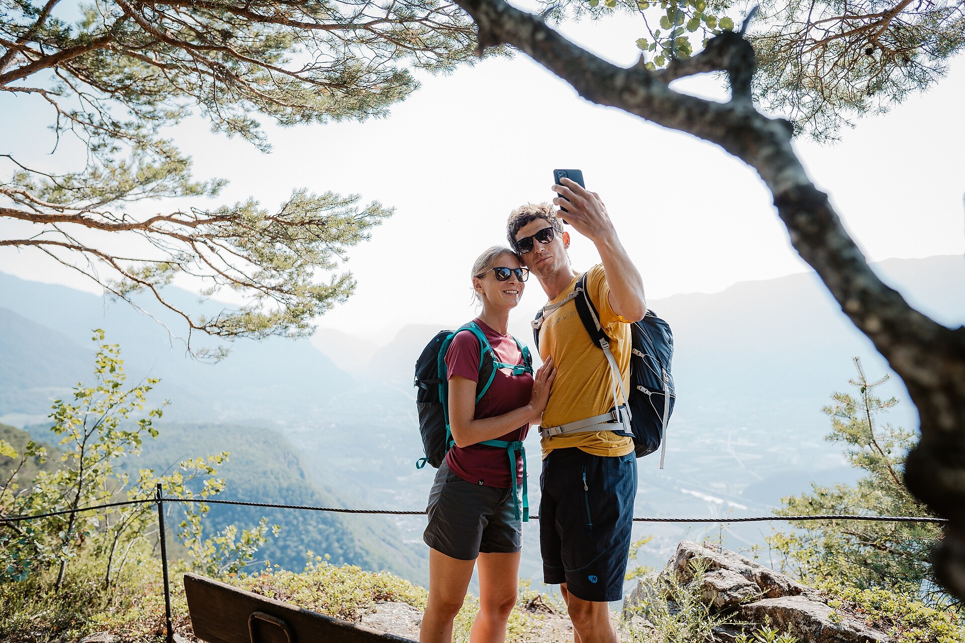
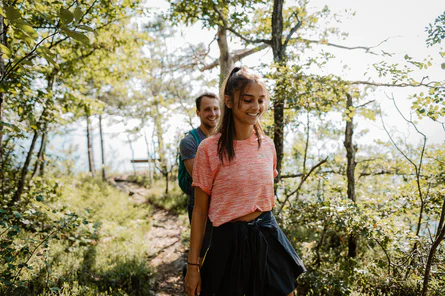
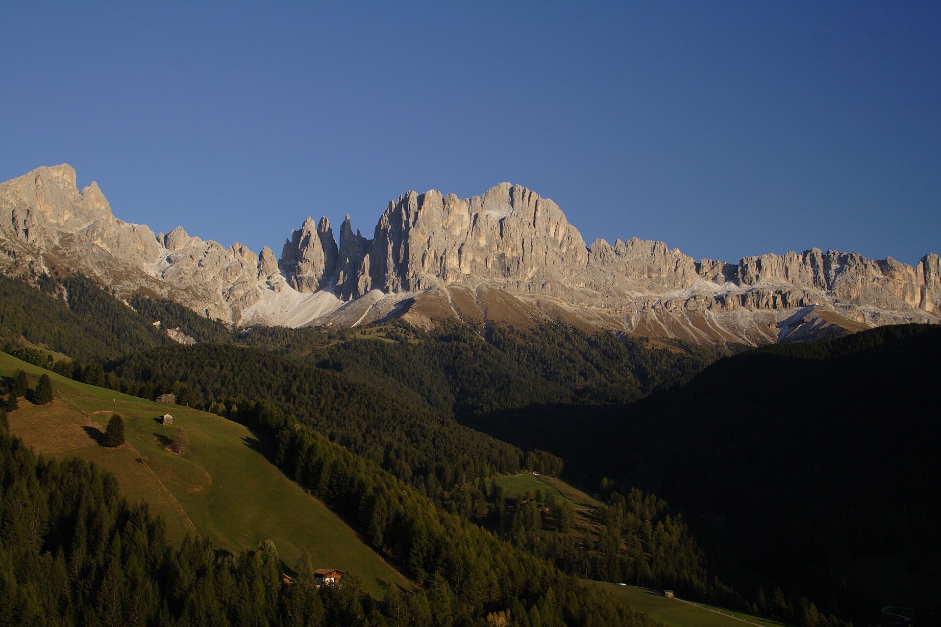
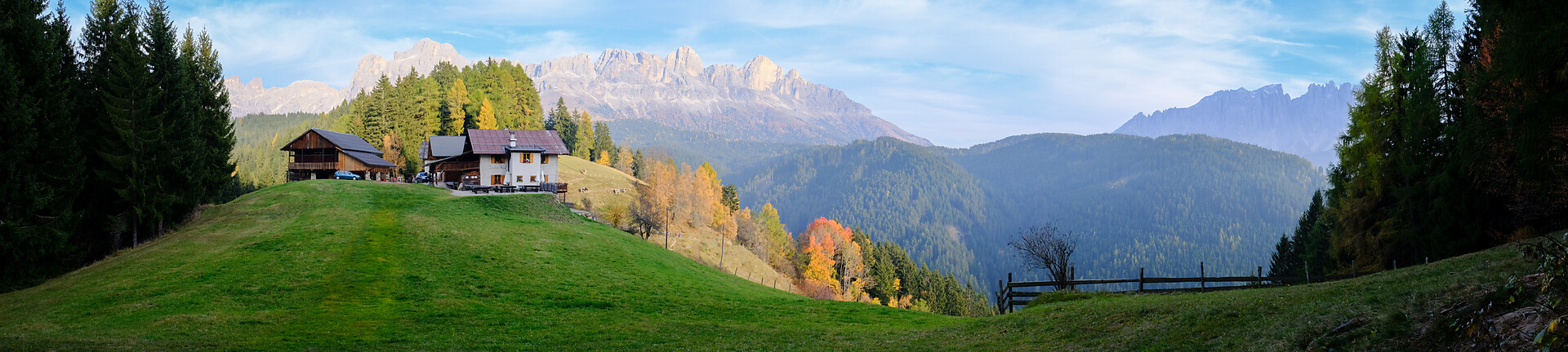
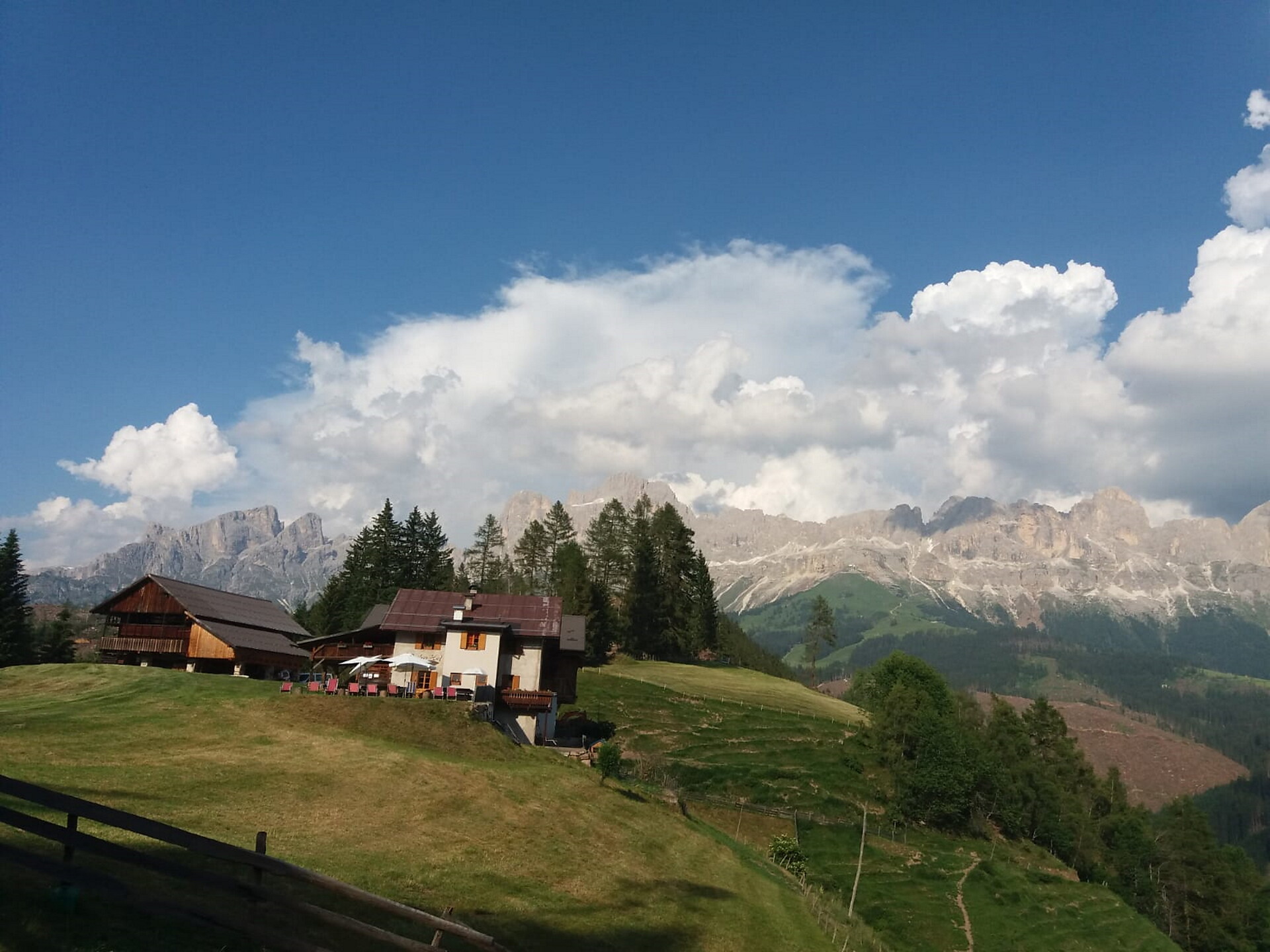
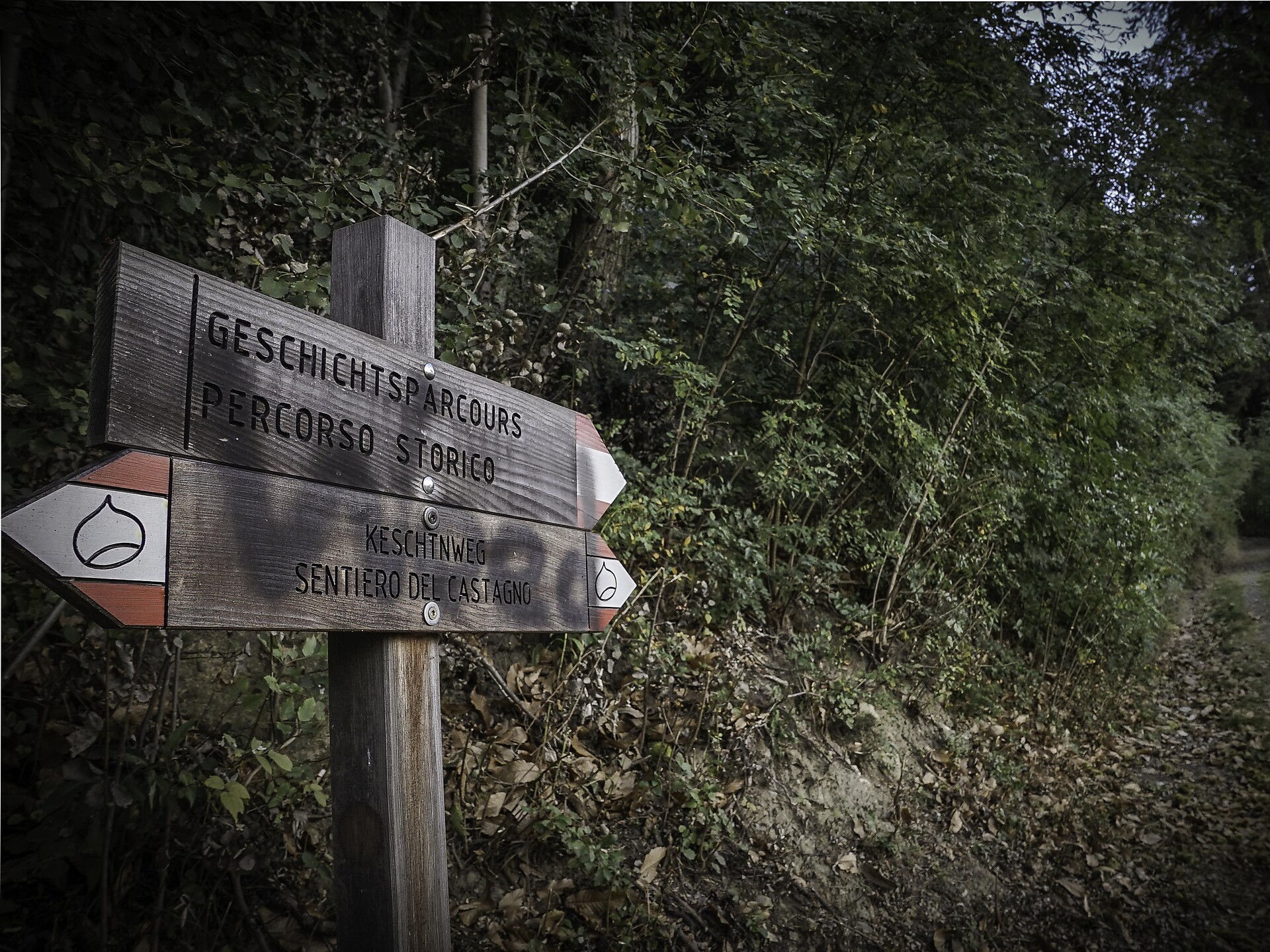
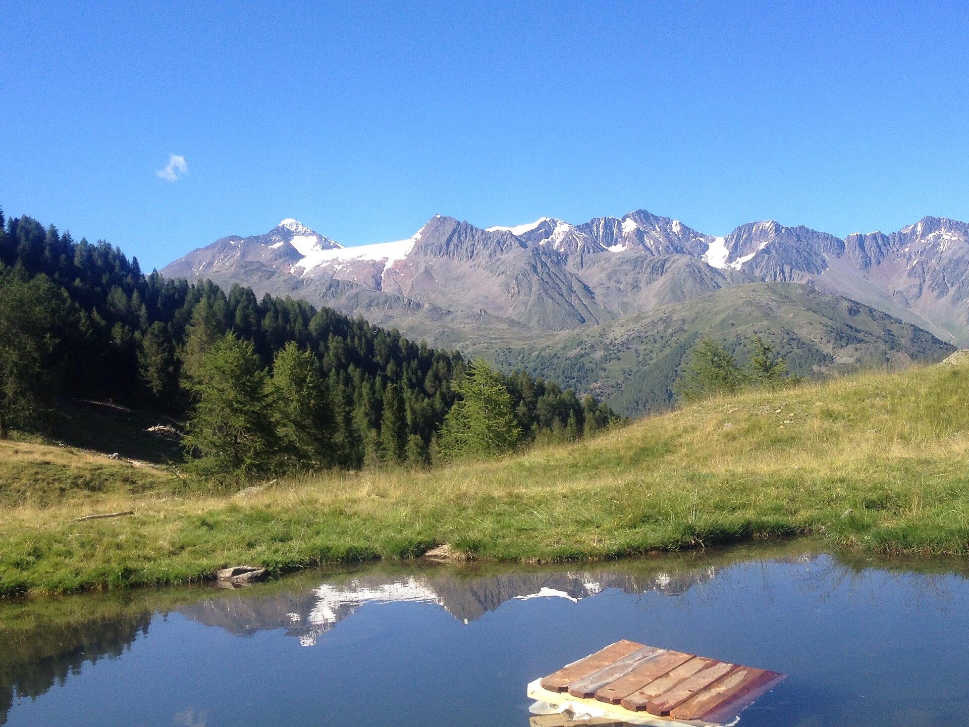
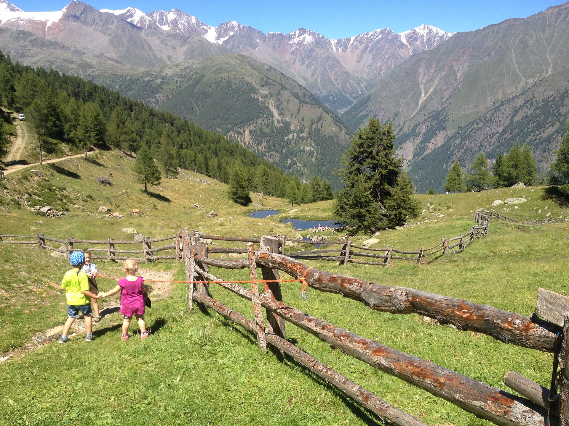
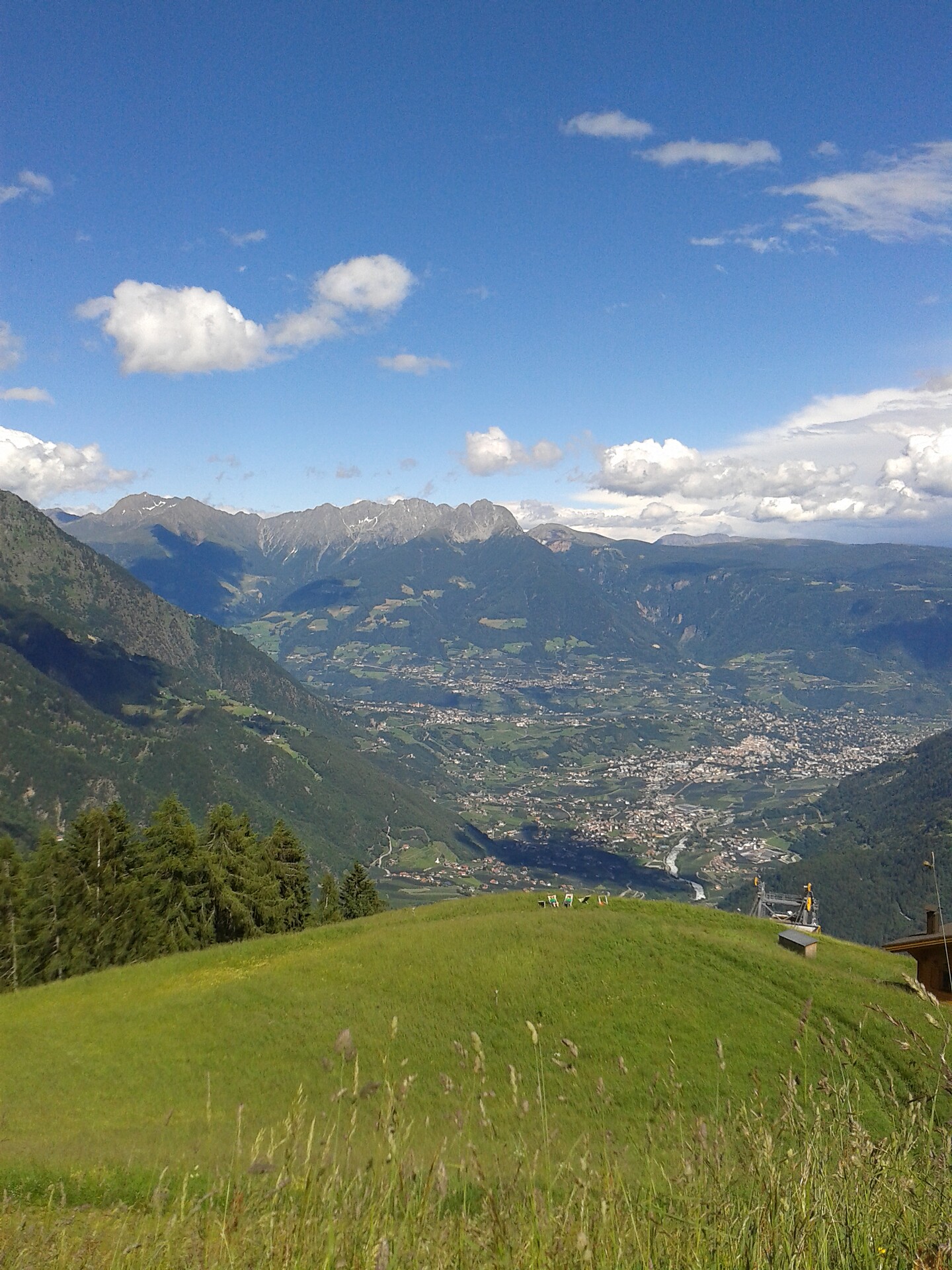
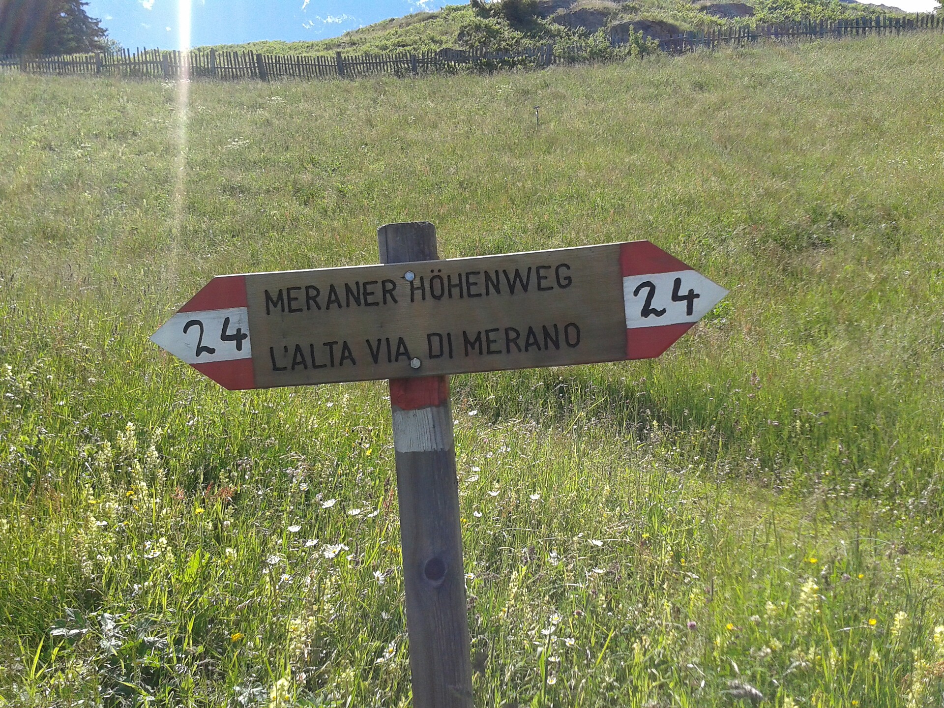
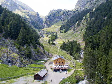
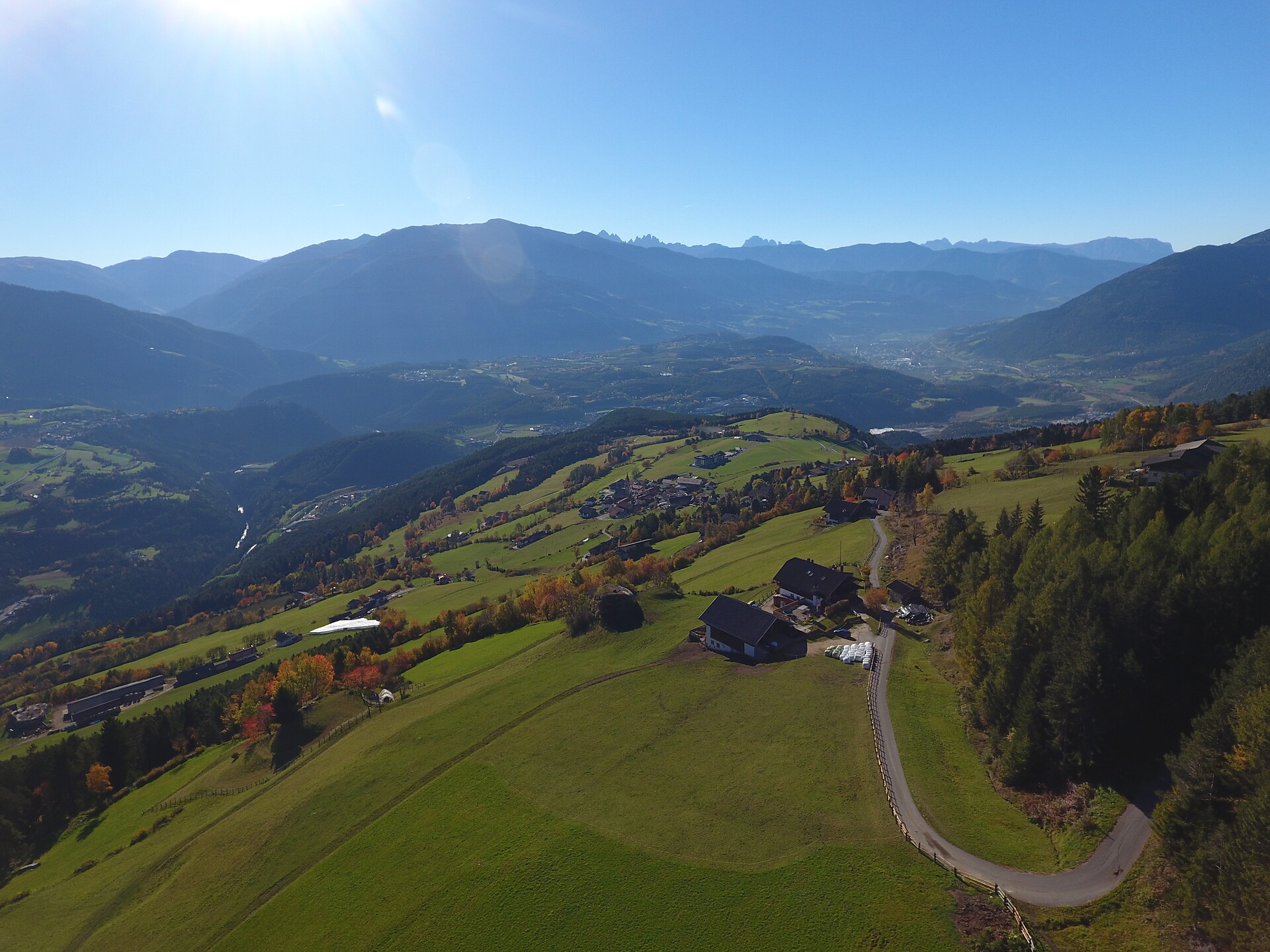
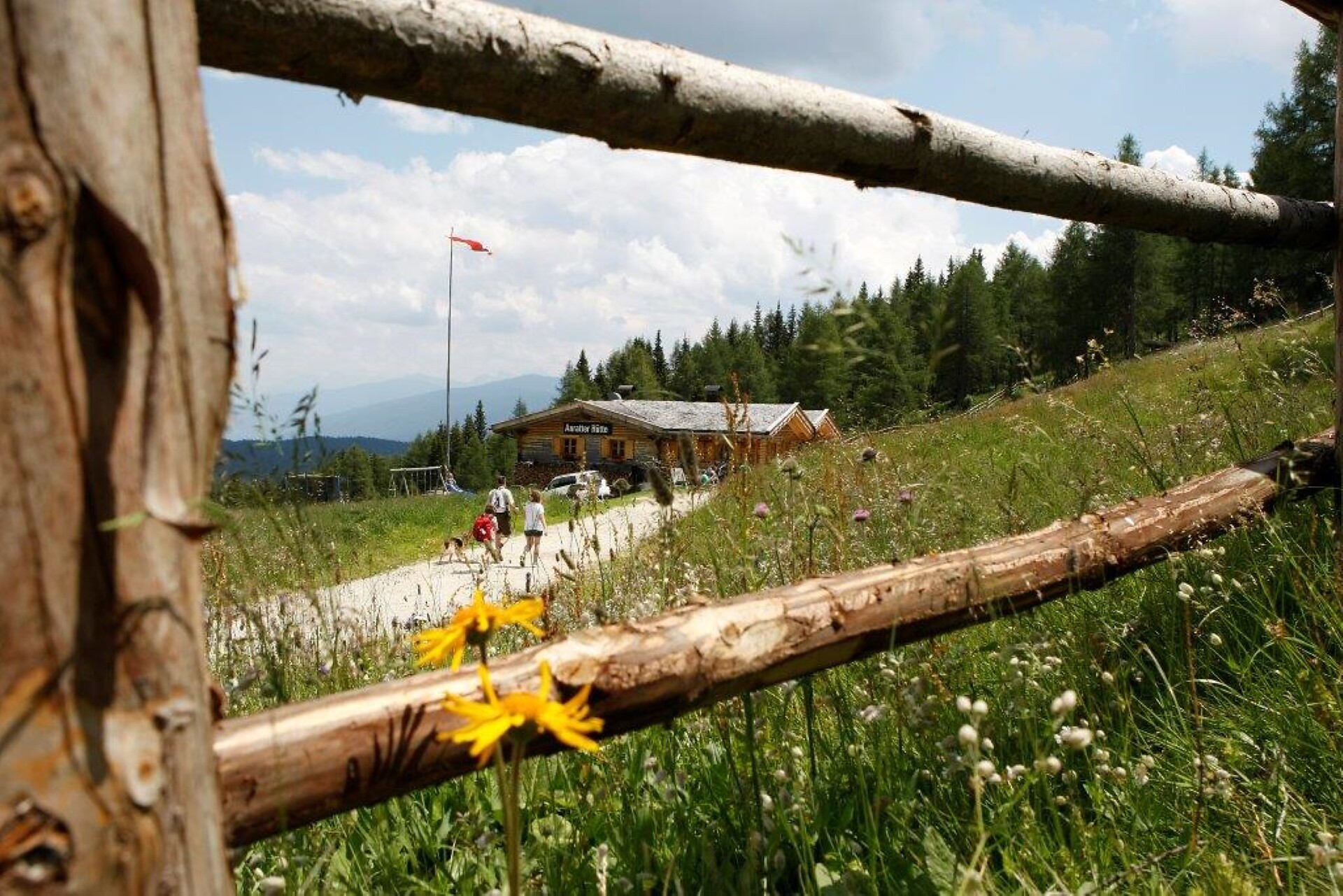
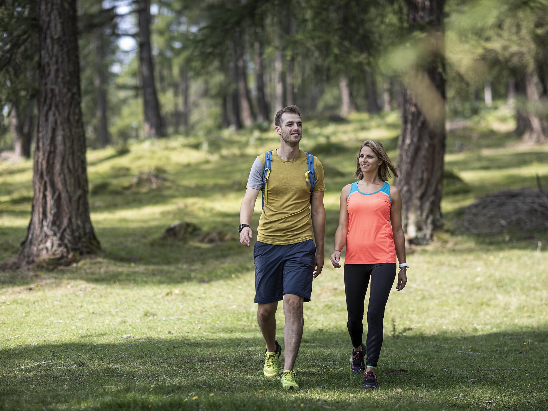
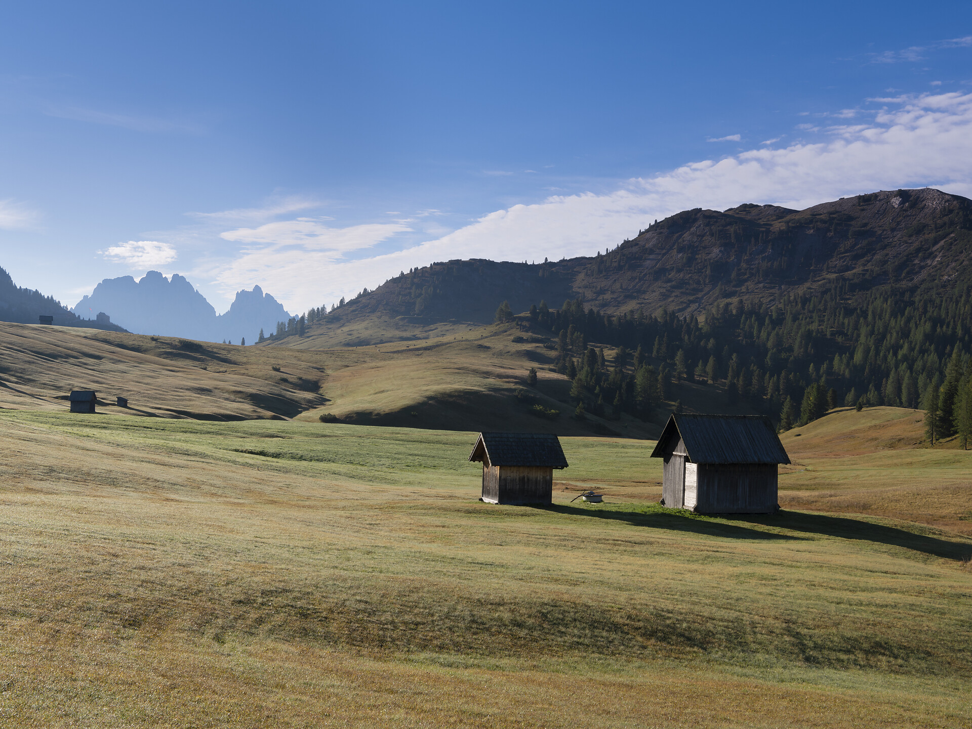
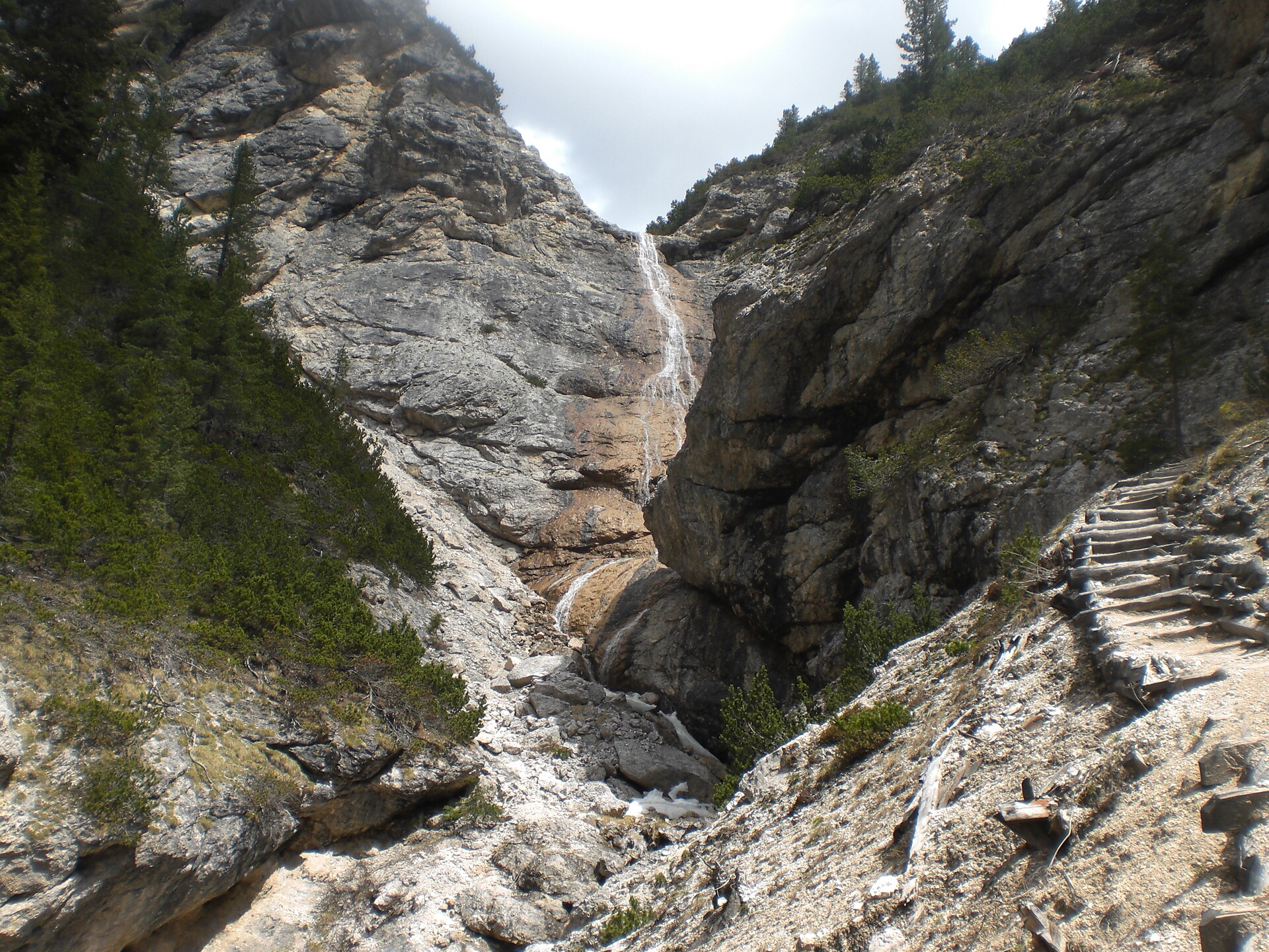
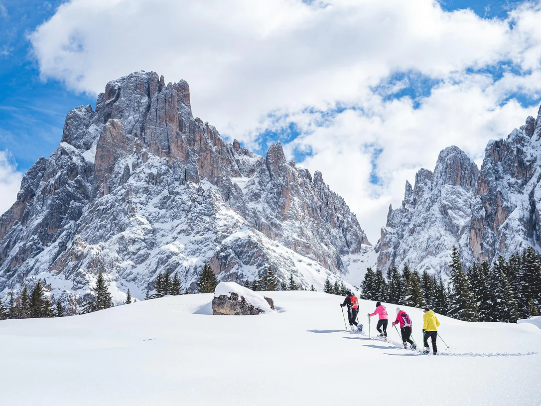
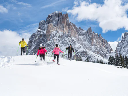

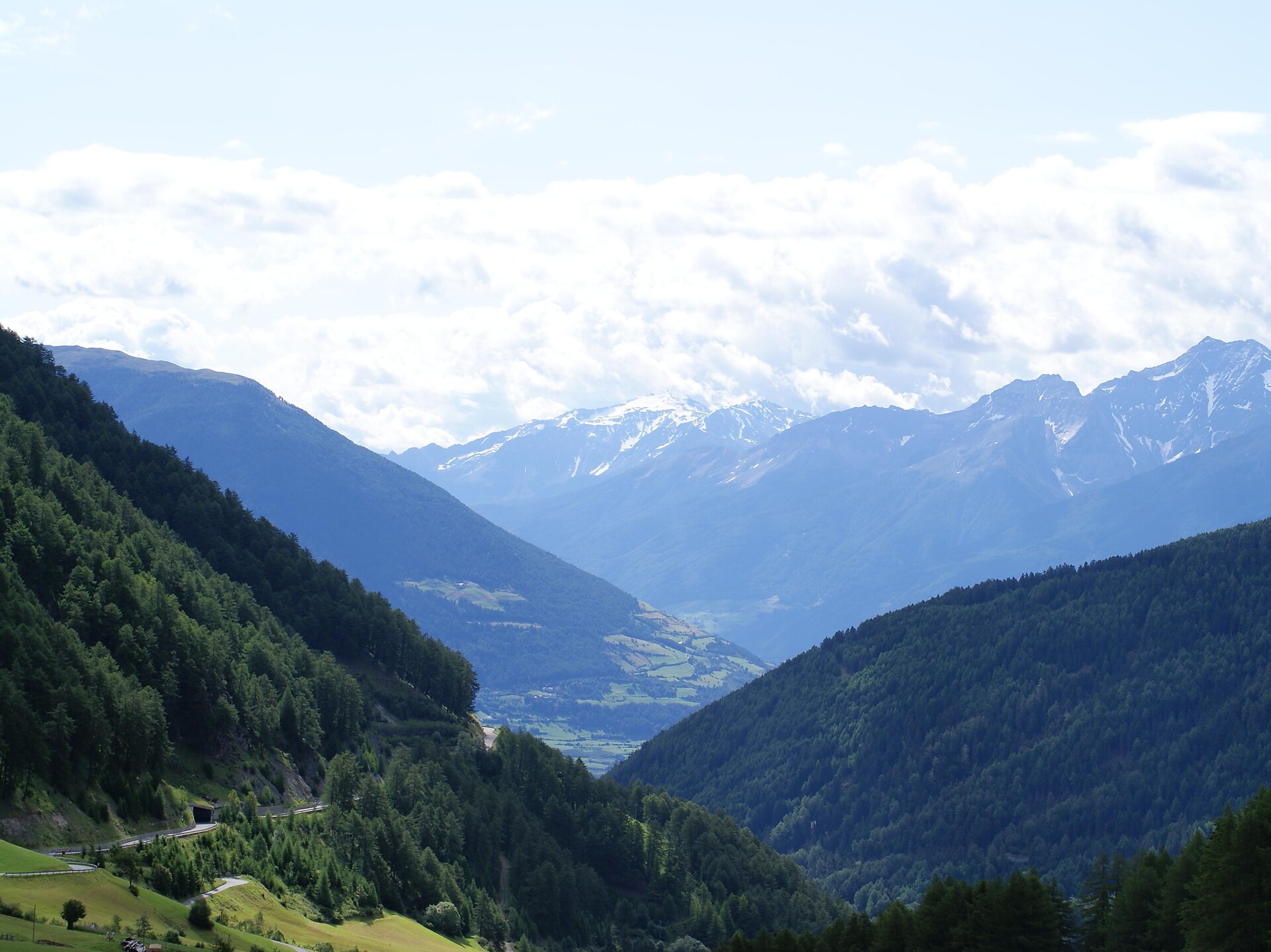
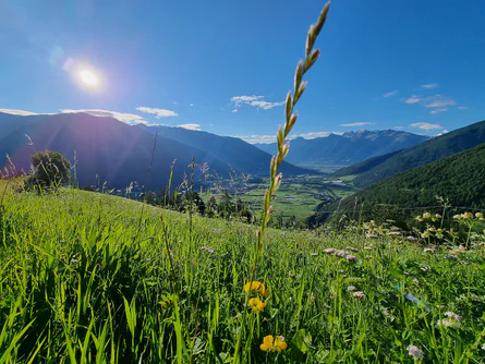
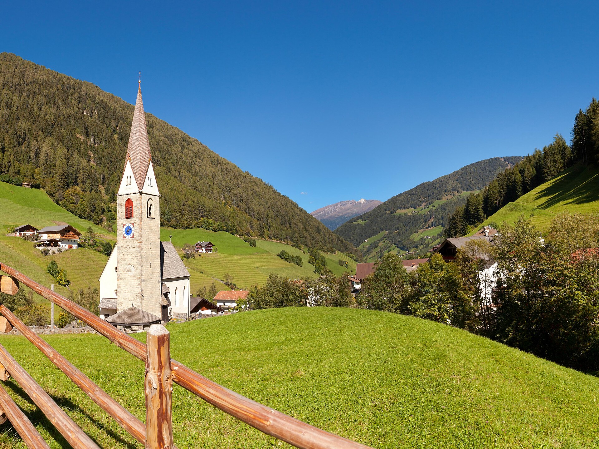
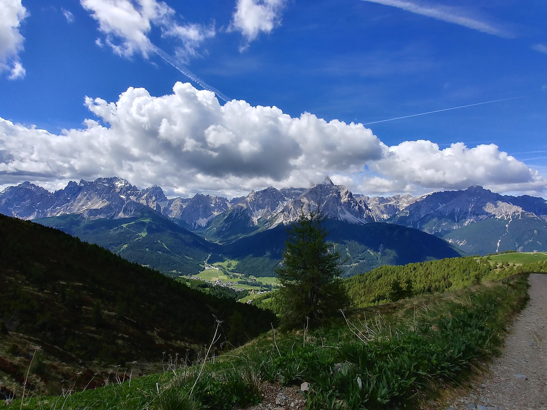
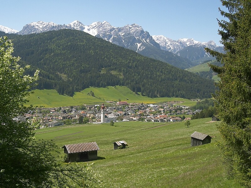
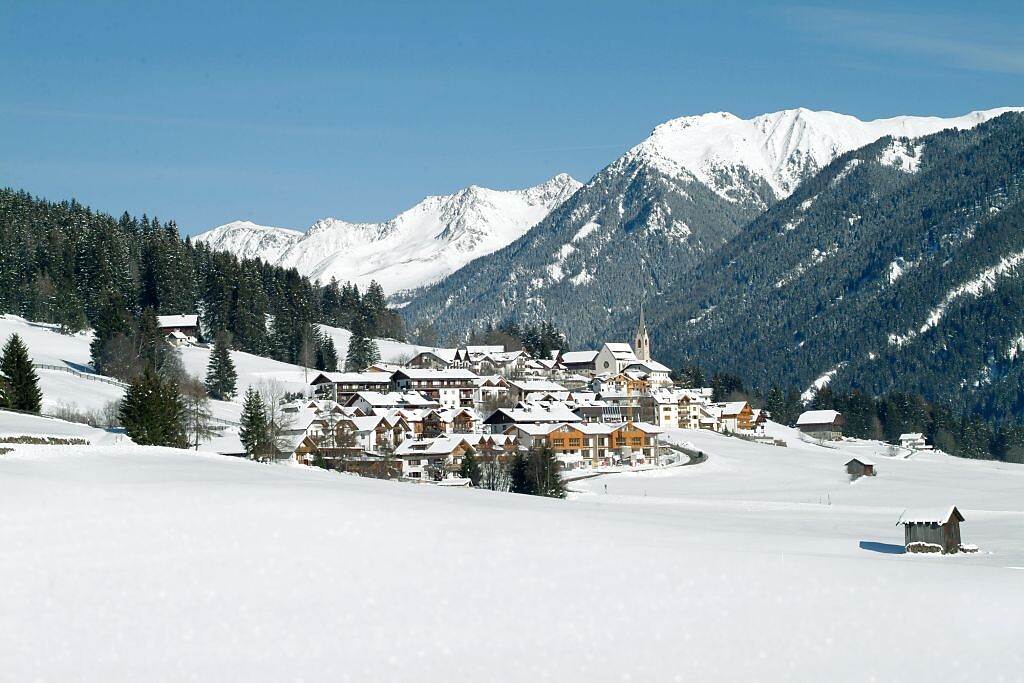
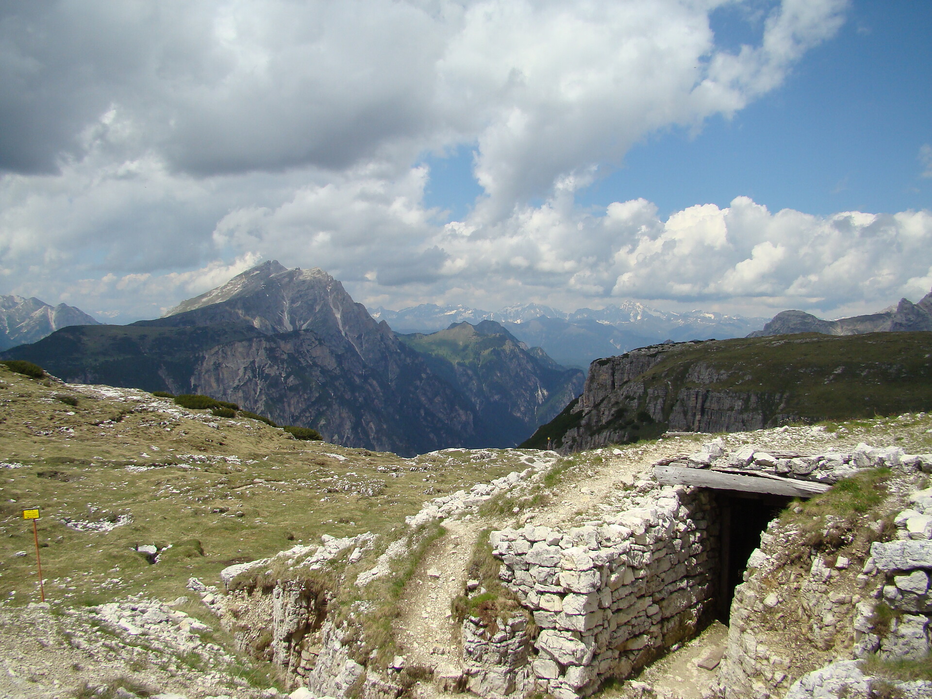
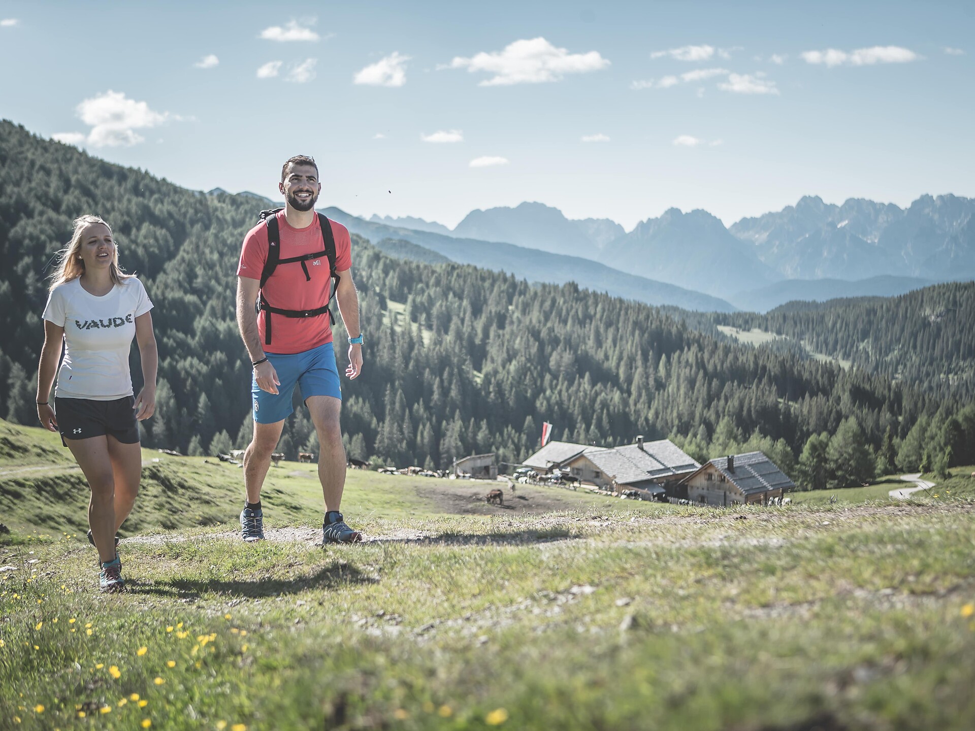
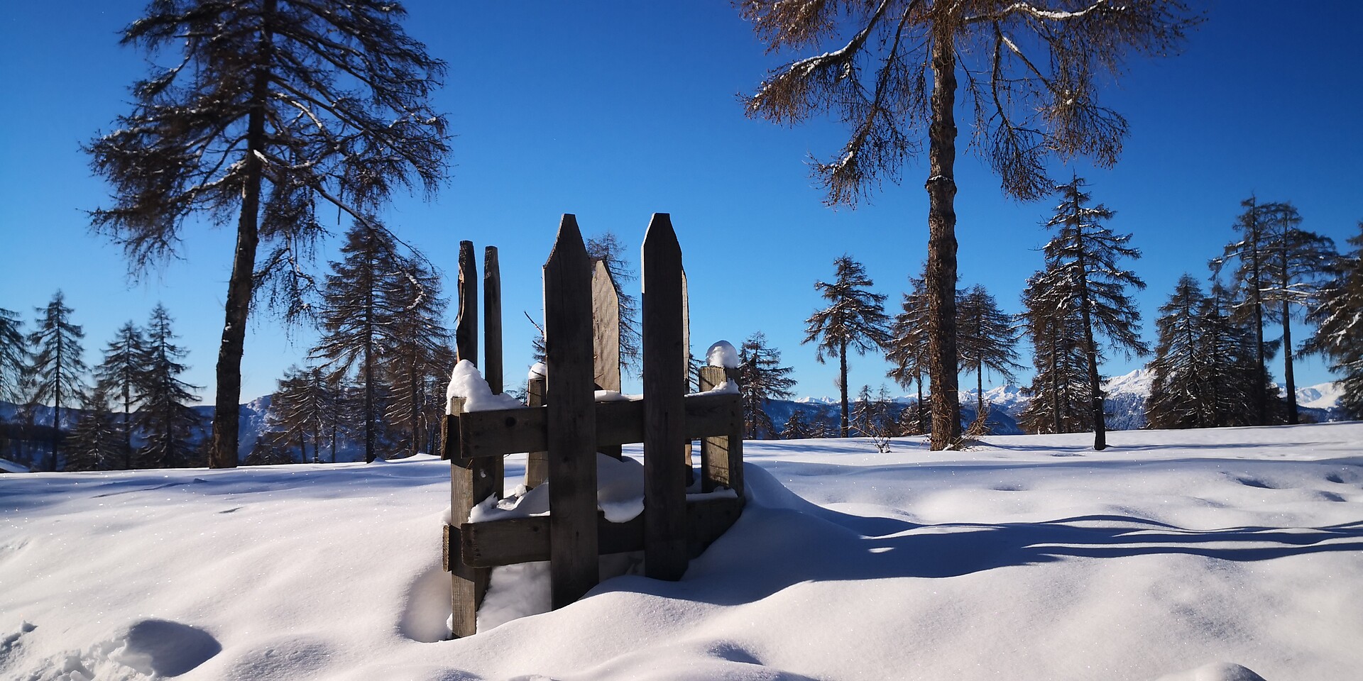

Über 16.000 Kilometer markierte, naturbelassene Wanderwege führen durch Südtirols kontrastreiche Landschaft, darunter Themenwege, Mehrtagestouren und Hochalpinsteige. Mit Seilbahnen überwindest du die ersten Höhenmeter und kannst dann direkt deine Panoramawanderung starten – etwa auf Meran 2000, auf der Plose oder am Kronplatz. Durch Südtirol führen außerdem der Europäische Fernwanderweg E5, der Jakobsweg und der Europahöhenweg 2. Zur Rast und Stärkung laden die zahlreichen Almenhütten. Von klein und urig bis elegant und innovativ mit gehobener Küche und großer Weinkarte. Schutz vor Wind und Wetter bieten spektakulär gelegene Schutzhütten. Kletterprofis und Anfänger gehen auf 50 Klettersteigen in den Schwierigkeitsgraden A bis F auf Tuchfühlung mit dem Felsen. Hier ist für jede Kondition das Passende dabei.
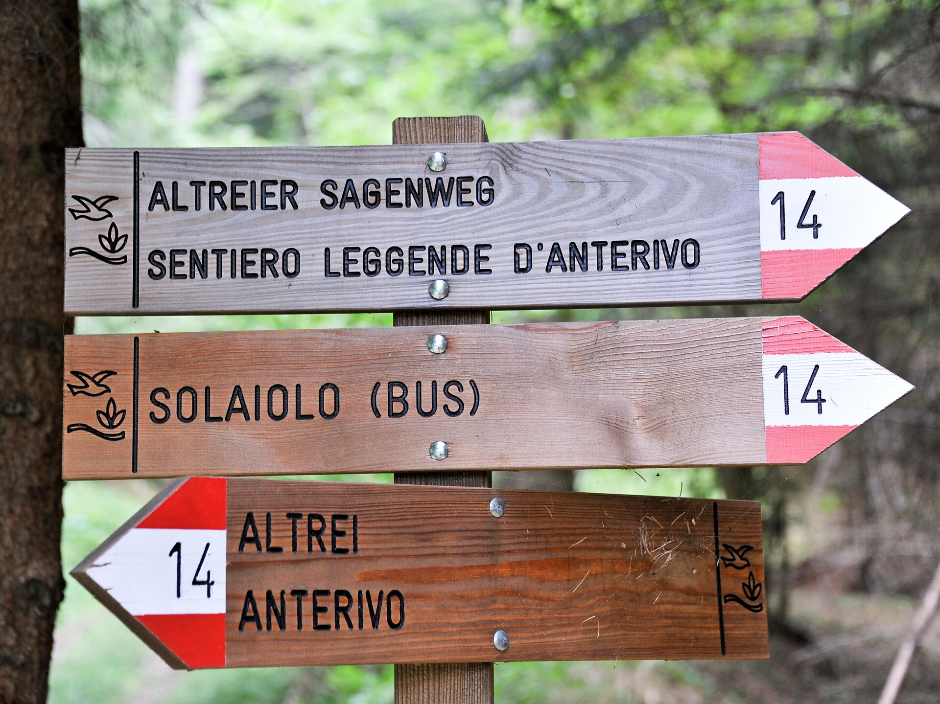
Themed Hikes
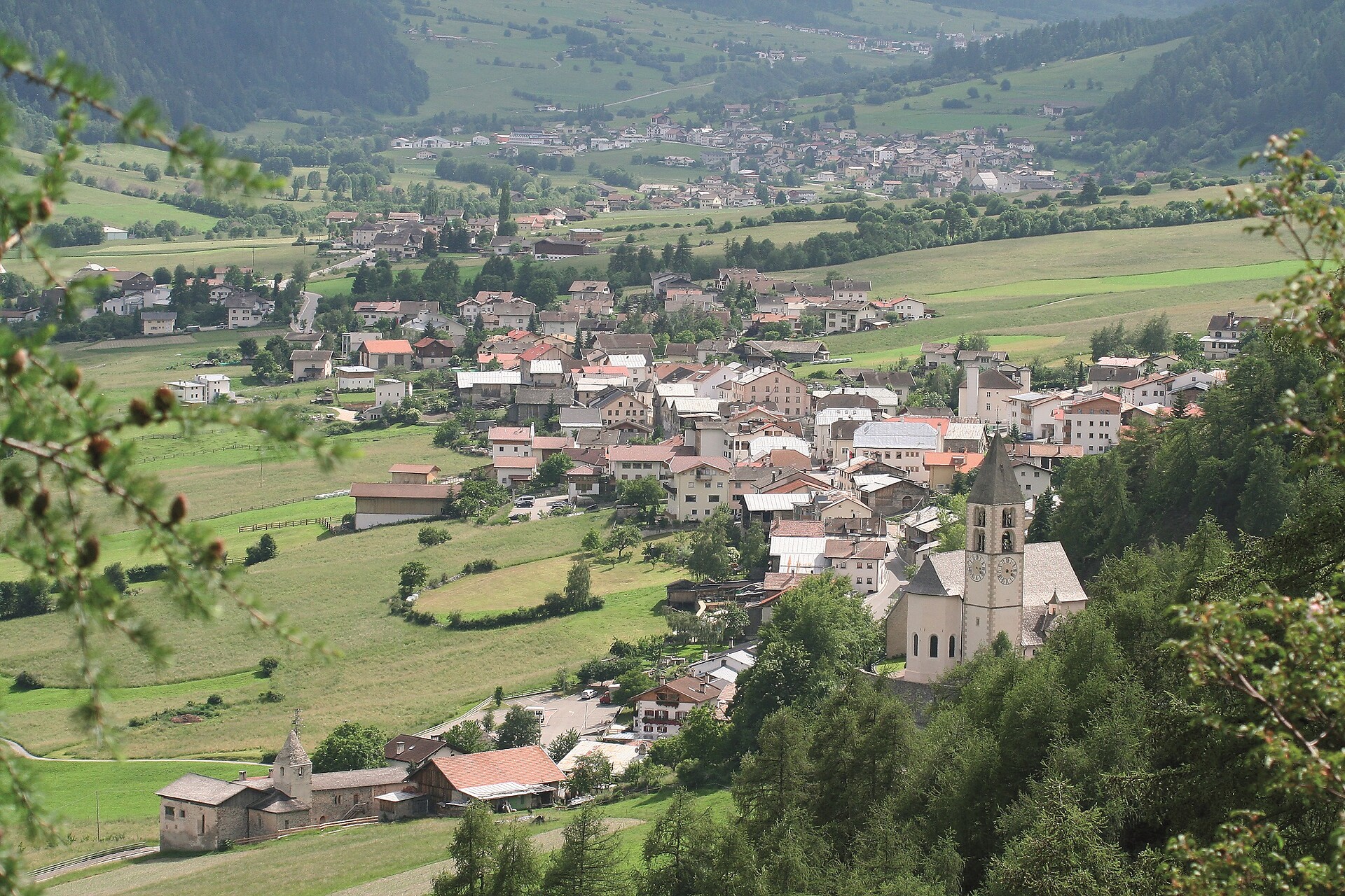
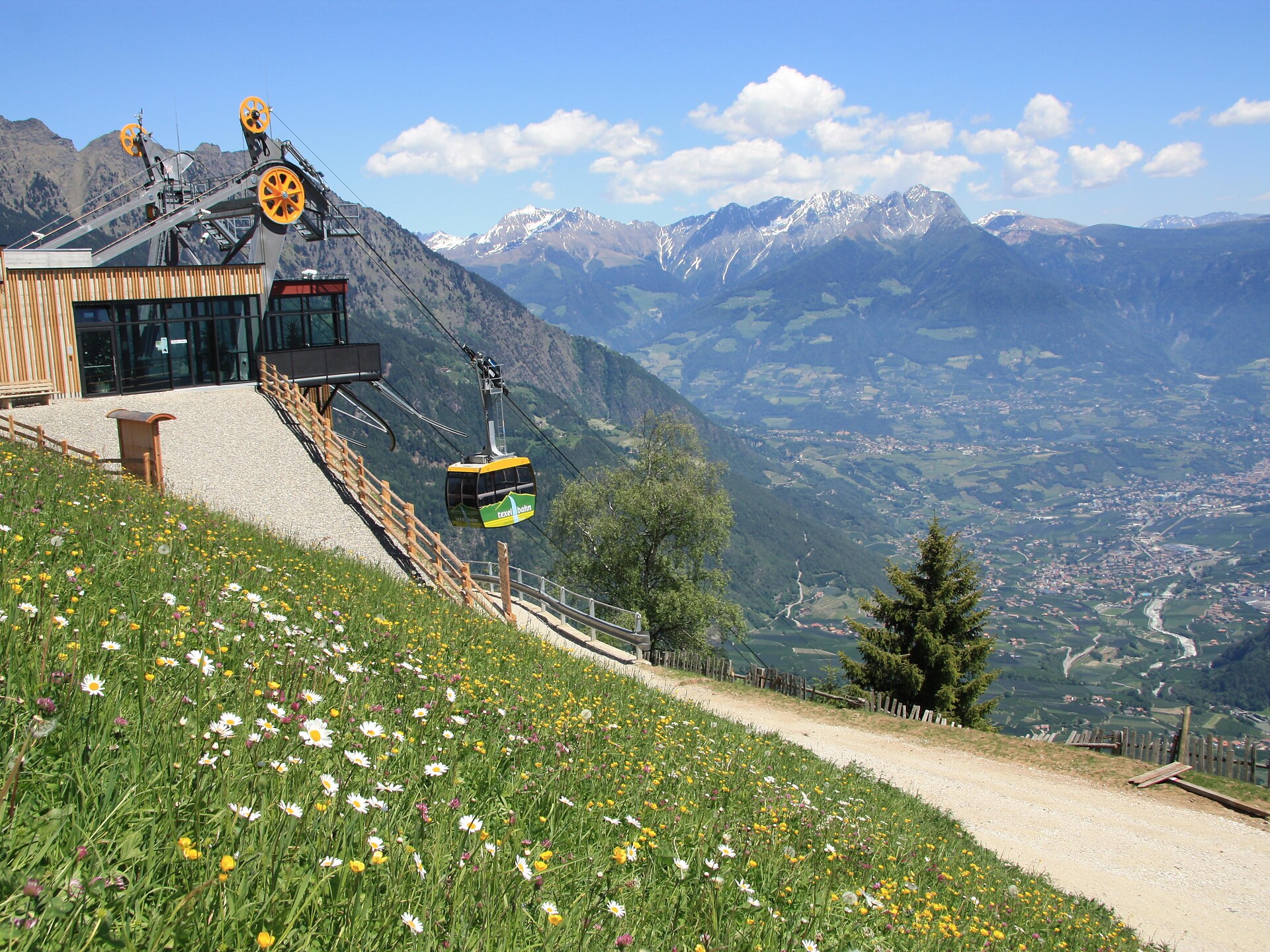
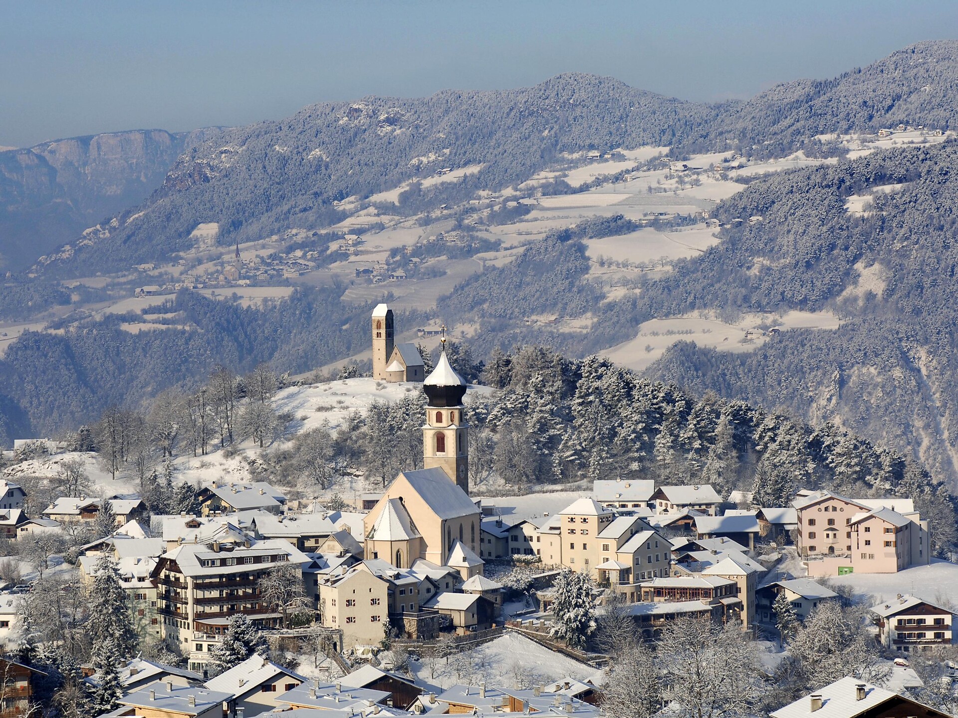
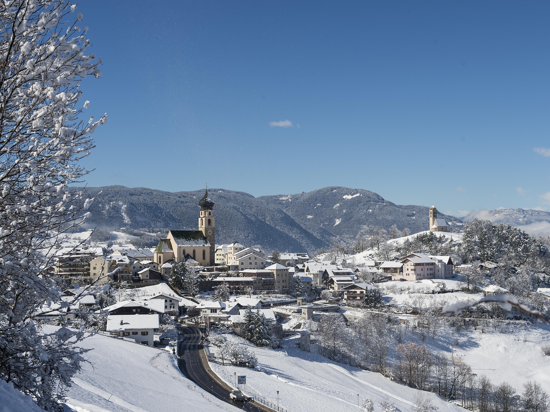
Eppan an der Weinstaße/Appiano sulla Strada del Vino, Alto Adige Wine Road
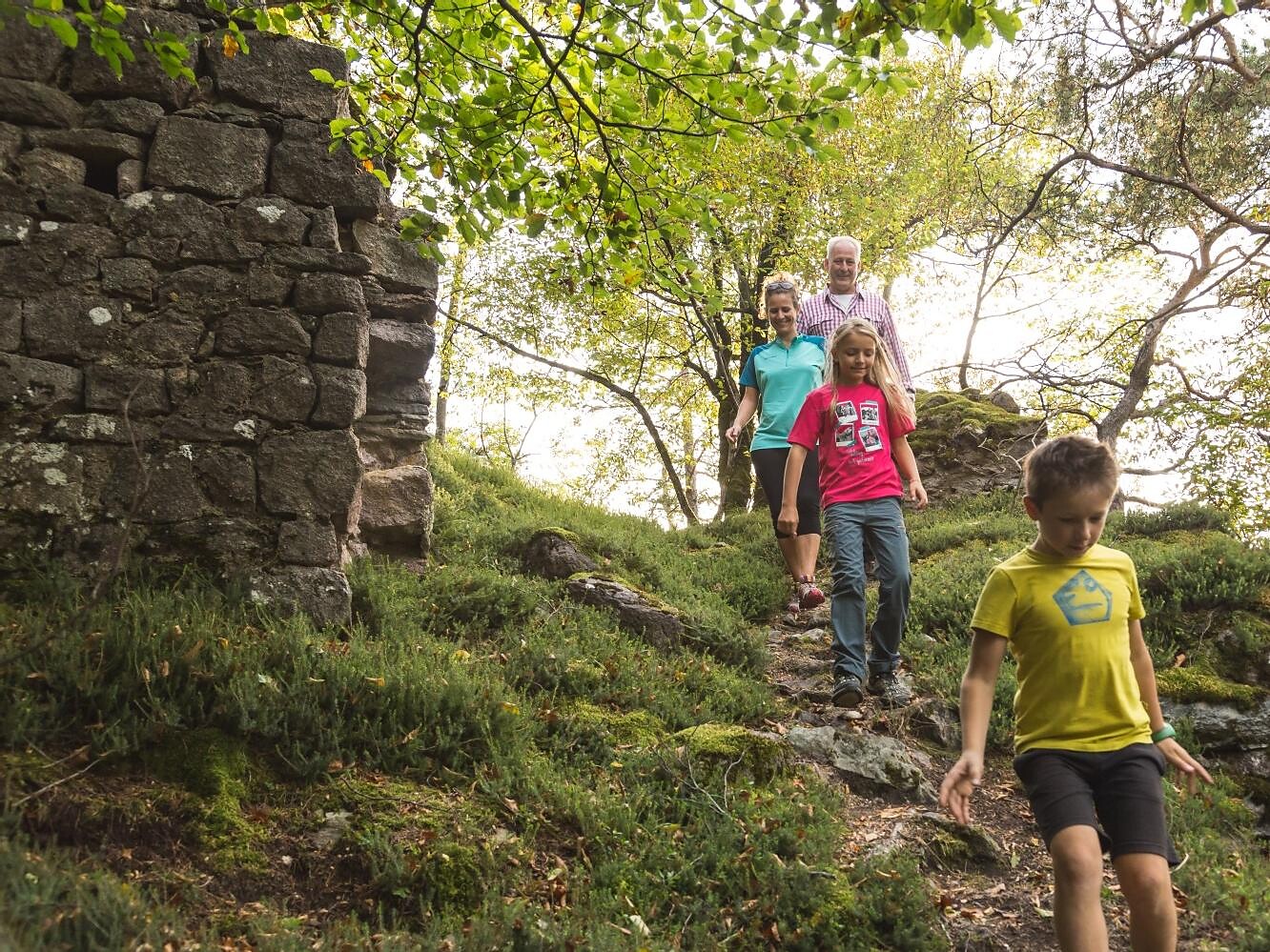
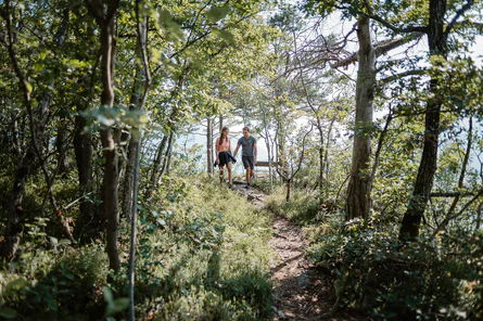
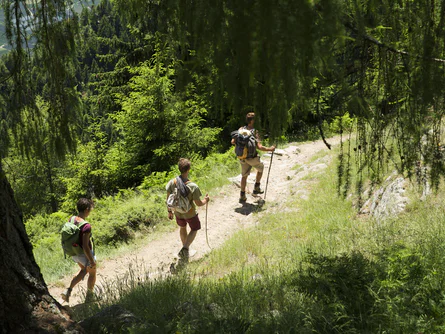
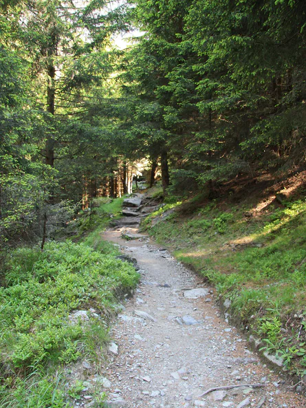
The hike leads from Terlan via Neuhaus Castle up to the hamlet of Montigl. From the “Moarhof” farm a very steep path leads up to the Helfenberg ruins. From here you go back to Terlan via the same route. Or as an alternative for sure-footed and experienced hikes: path 9 A and path 11 A down to Siebeneich. From there you can take the bus back to Terlan.


