Start at the Bunker Recreation Area parking lot in Spinges, where you'll find an interesting feature right at the start – an old bunker next to the parking area. From here, follow the forest road marked No. 9, which gently ascends through the forest.
After about 2 hours, you’ll reach the Obereggerbach stream at 1,730 m, passing by Hinterleitner and Weberalm. After another 30 minutes, you’ll arrive at Anratterhütte at 1,815 m.
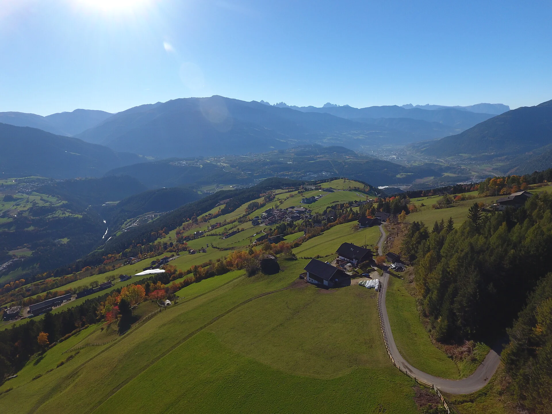
In the ski and holiday area Gitschberg Jochtal you can get an Adventure Book at your accommodation or at the tourist offices. This special booklet features ten selected hikes, each with a stamp station along the way, where you can collect an imprint in your Adventure Book.
With three stamps, you can claim a bronze medal at the tourist offices in Mühlbach, Rodeneck, Terenten, Vals, or Meransen. Six stamps earn you a silver medal, and with all ten, you’ll be awarded the prestigious gold medal!

To complete your subscription, open the email we just sent you and click on the confirmation link.
Can’t find it? Check your spam folder too.