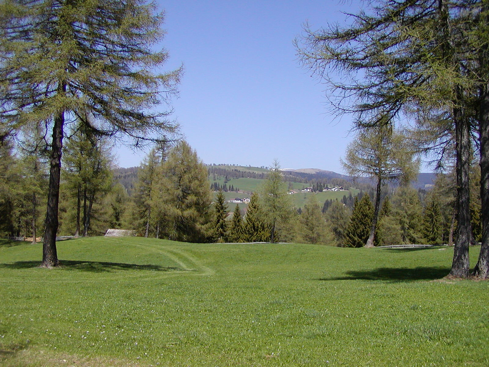
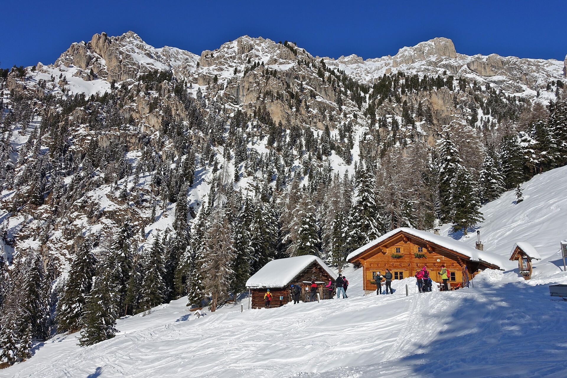
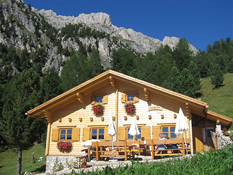
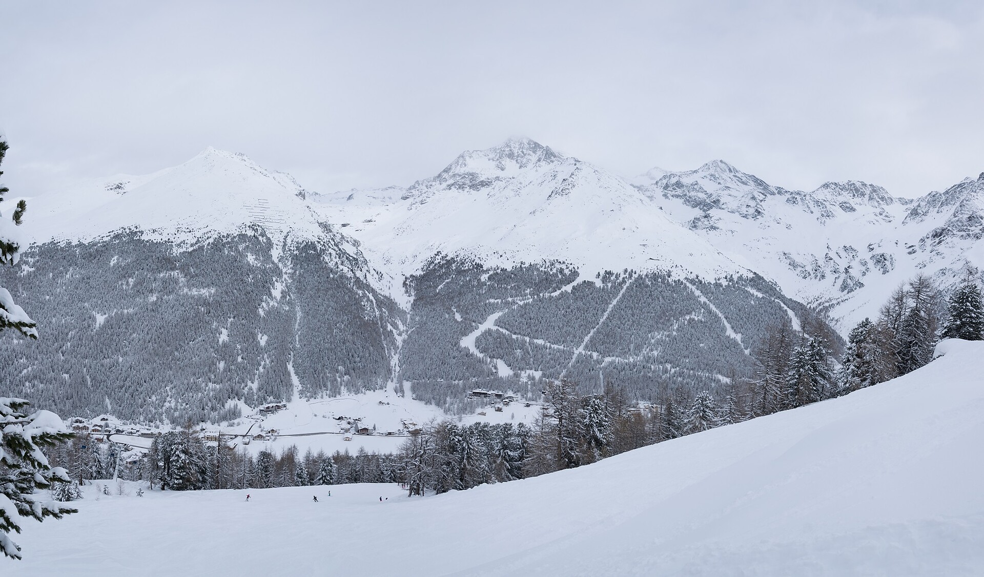
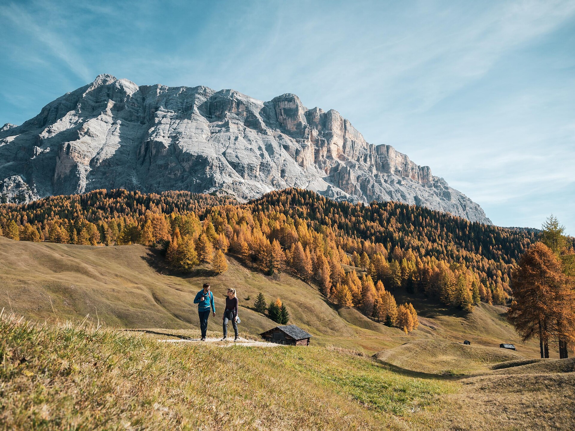
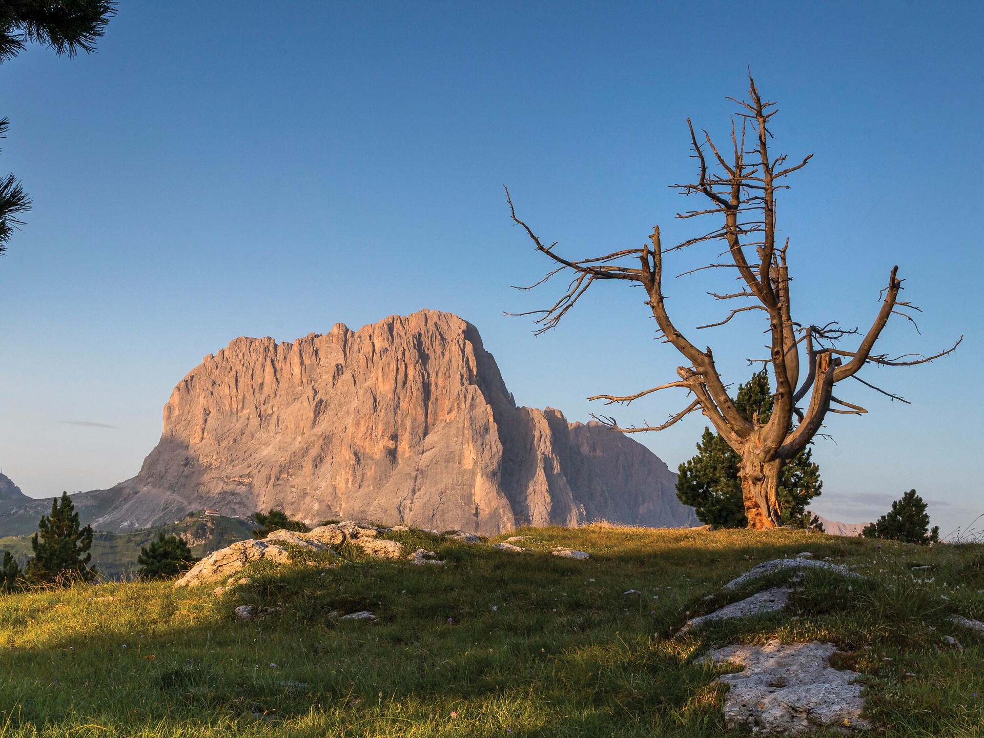
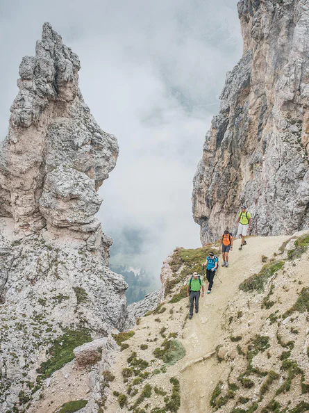
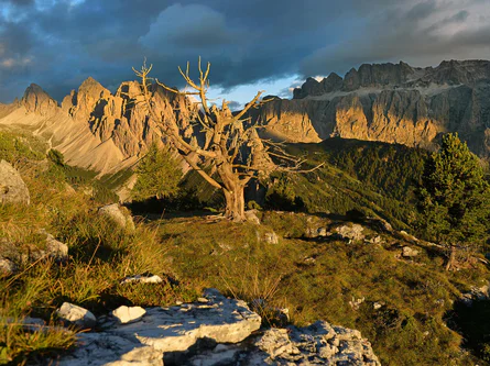
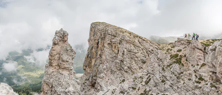

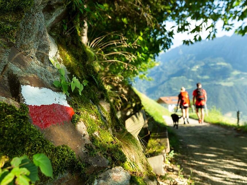
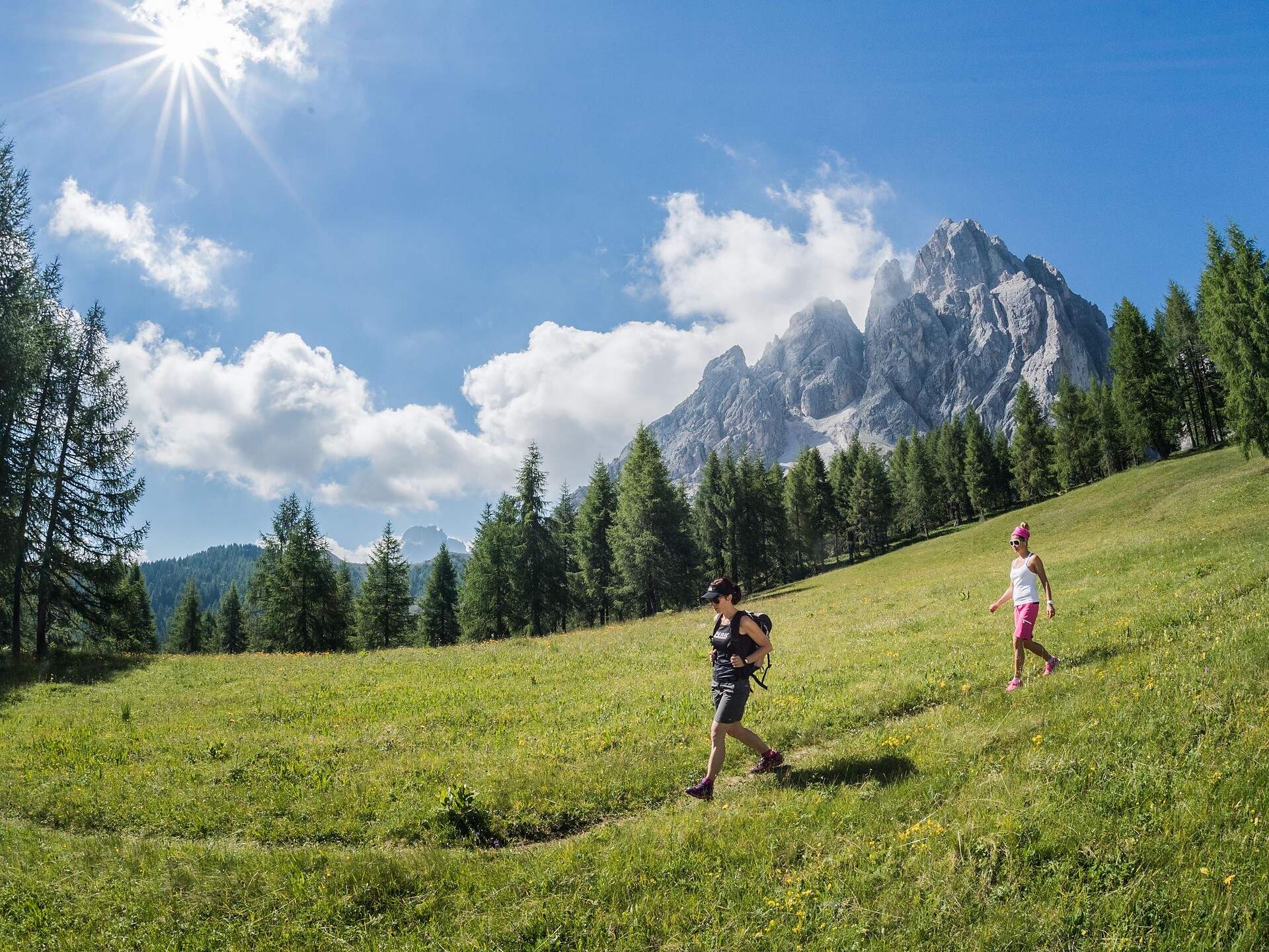

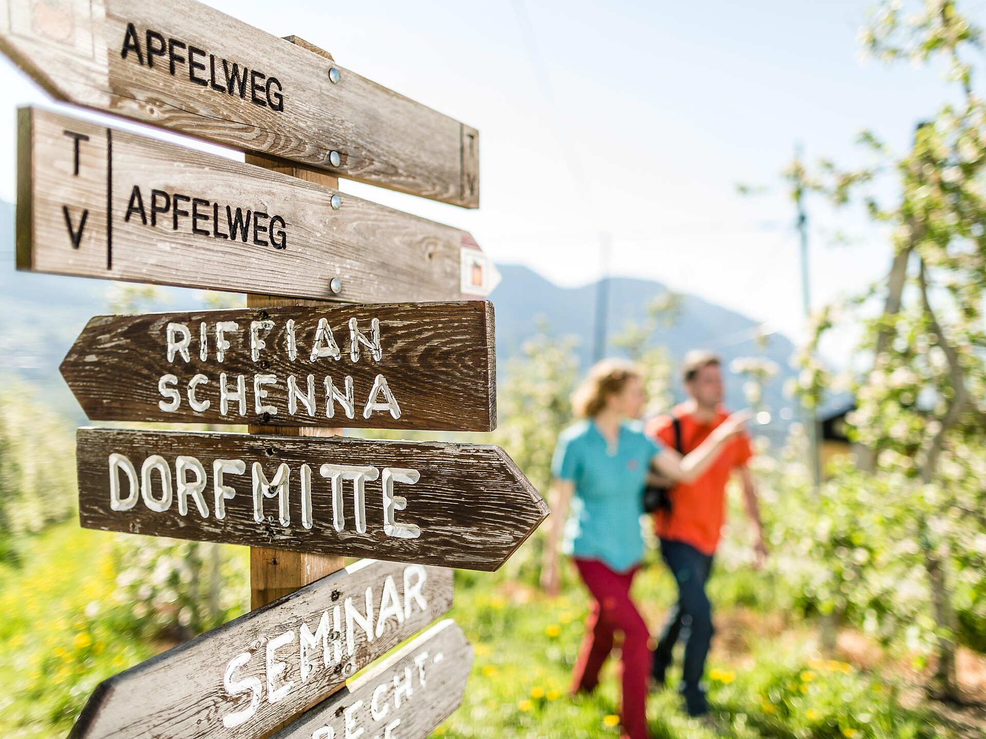


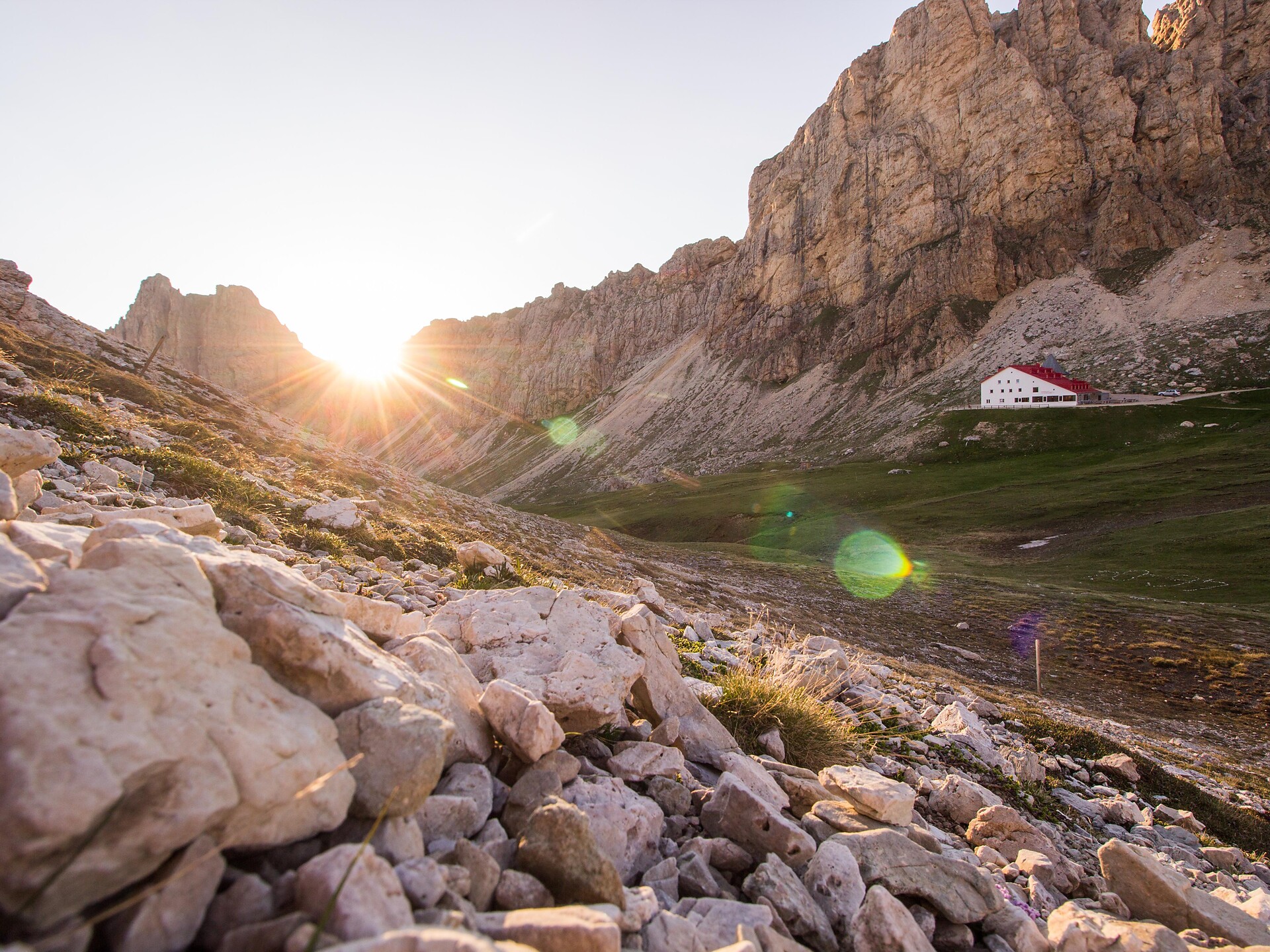
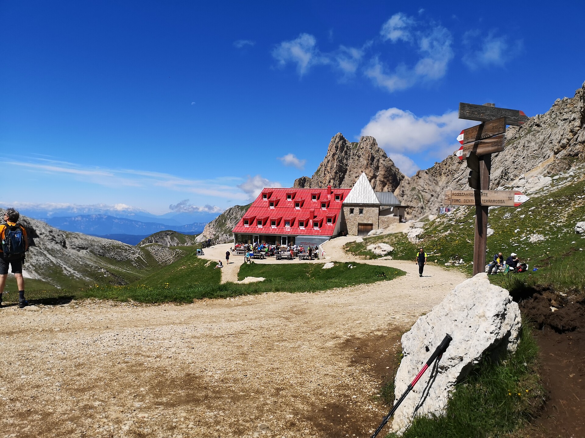
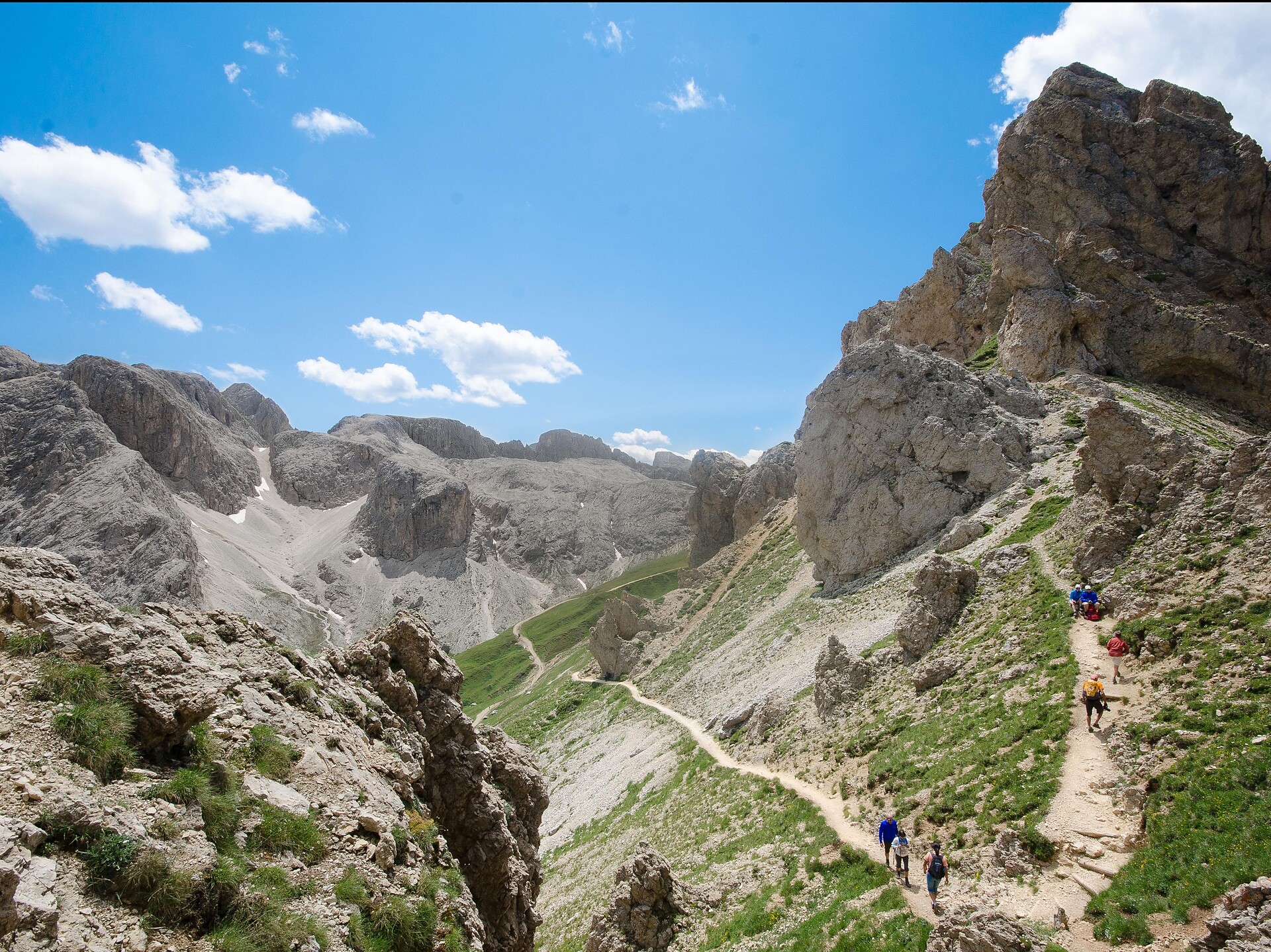
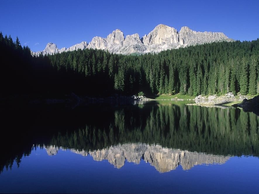
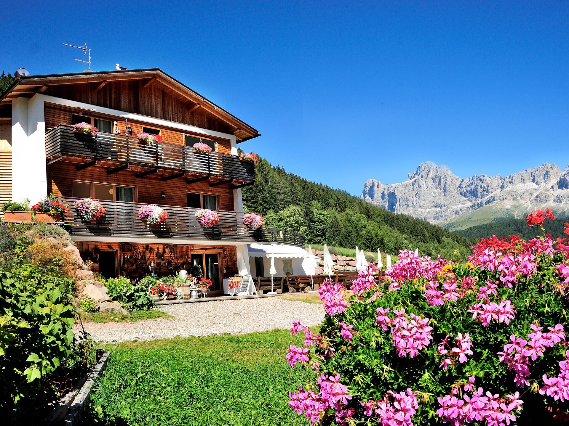
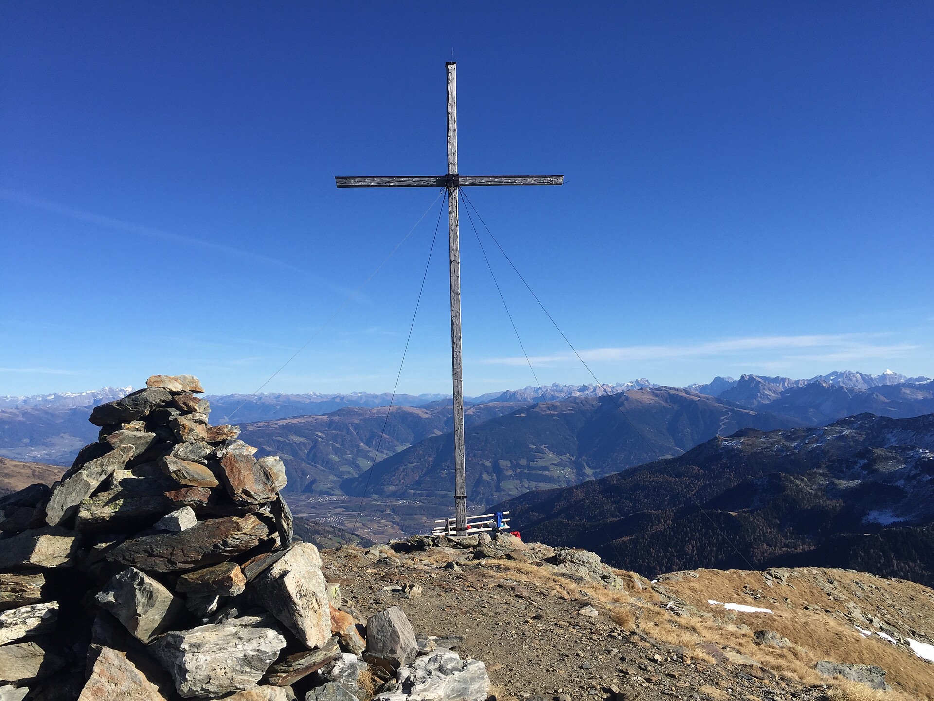


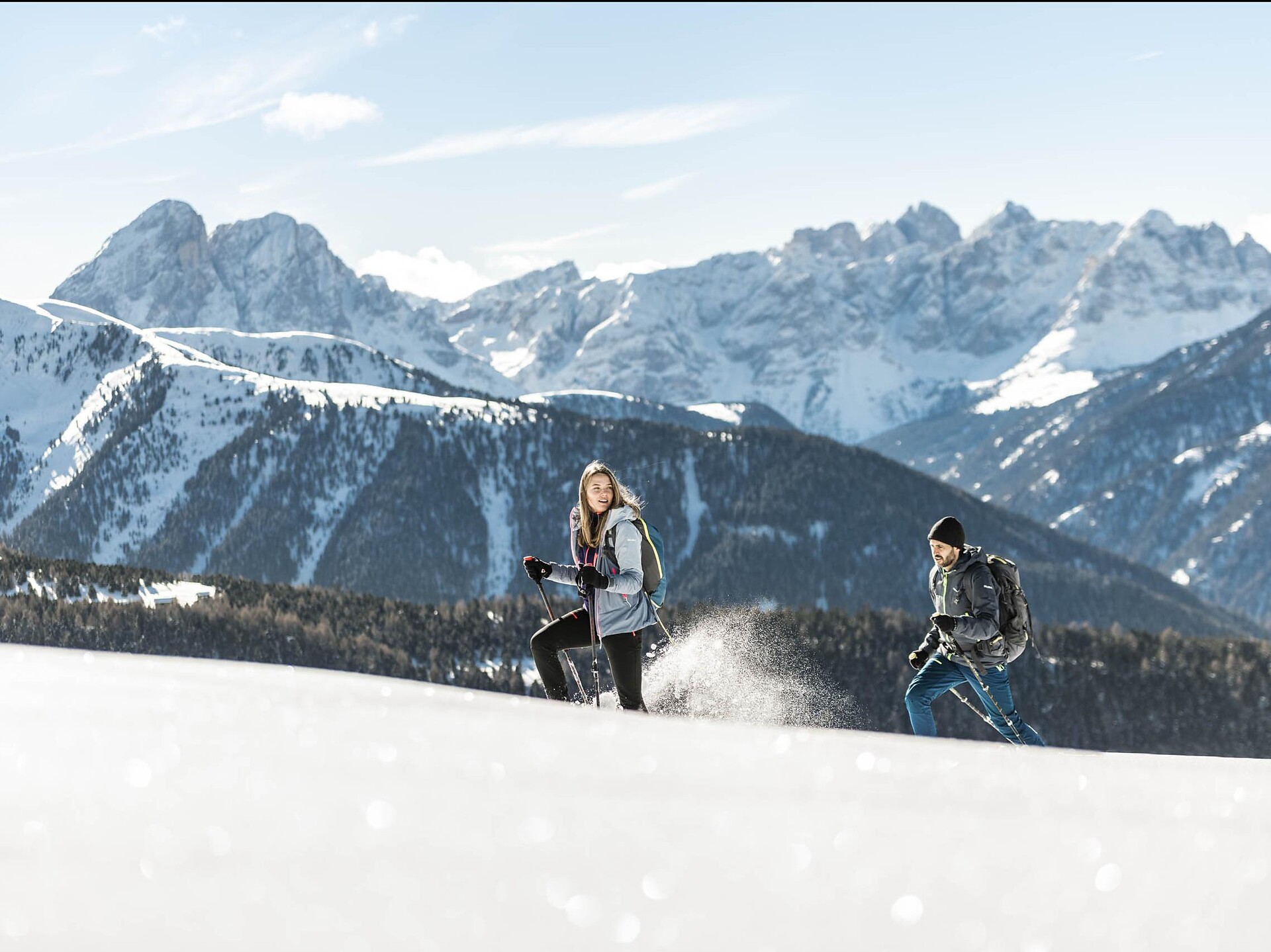
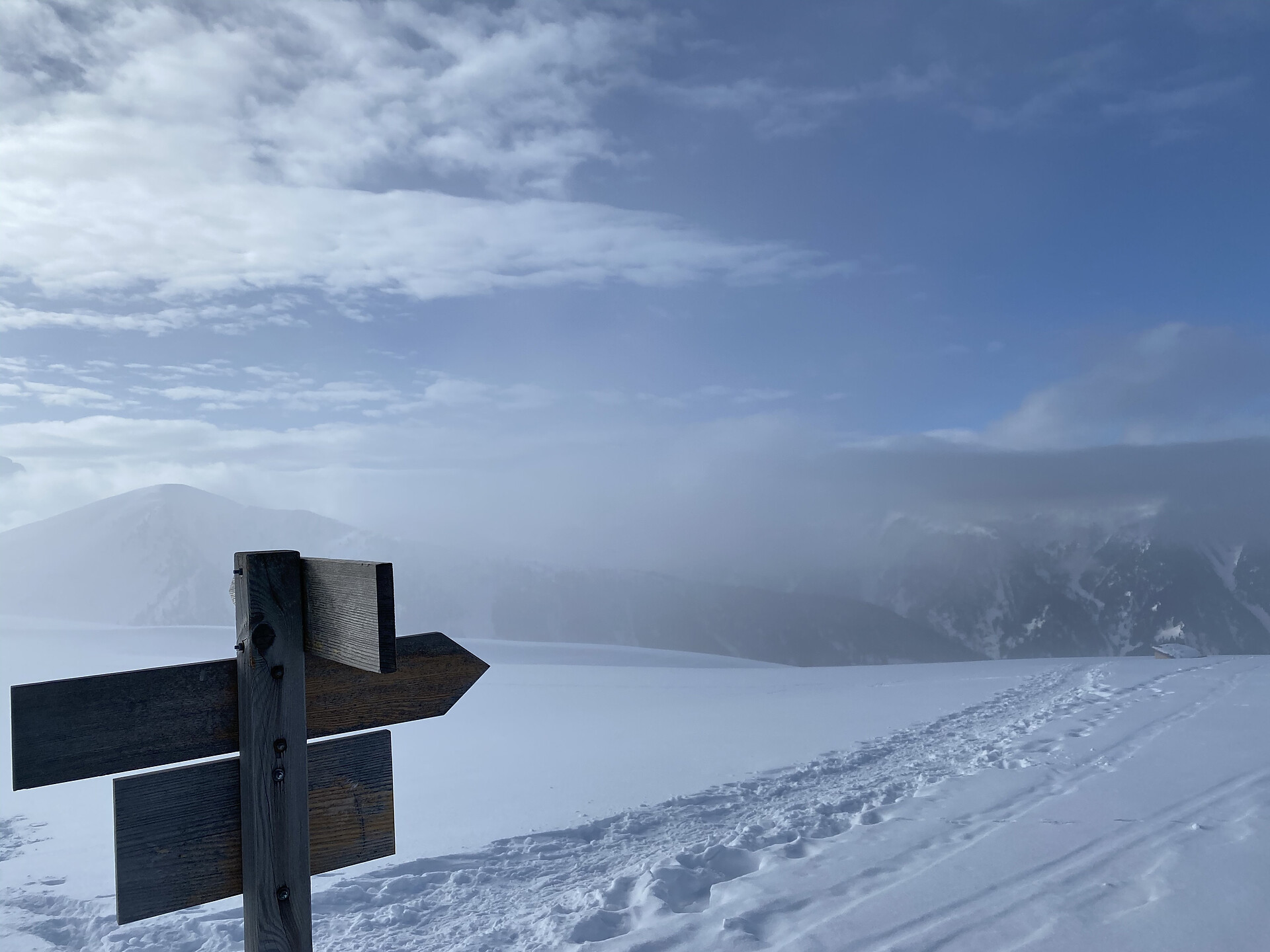
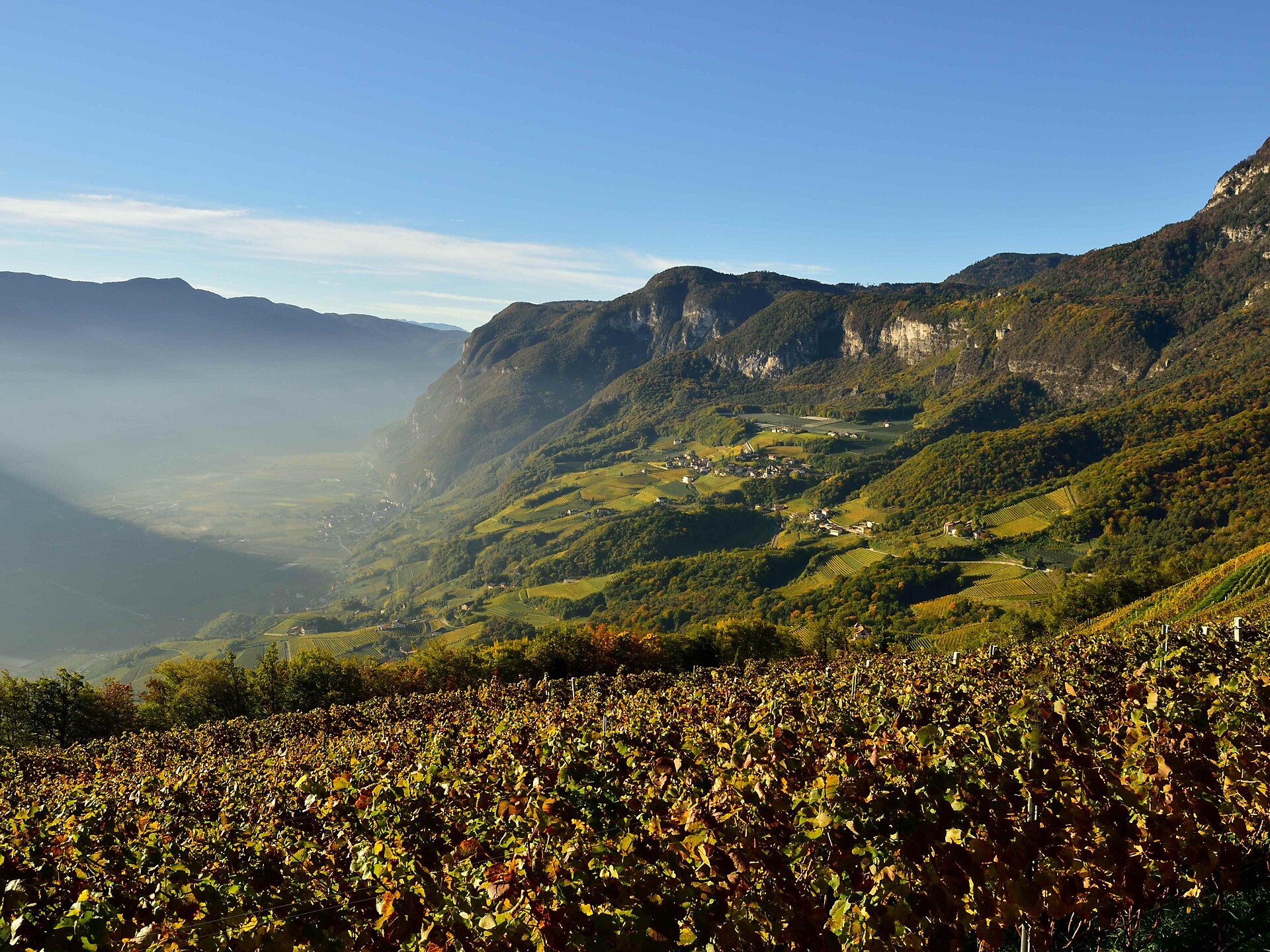
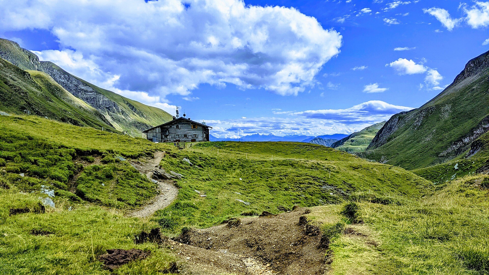

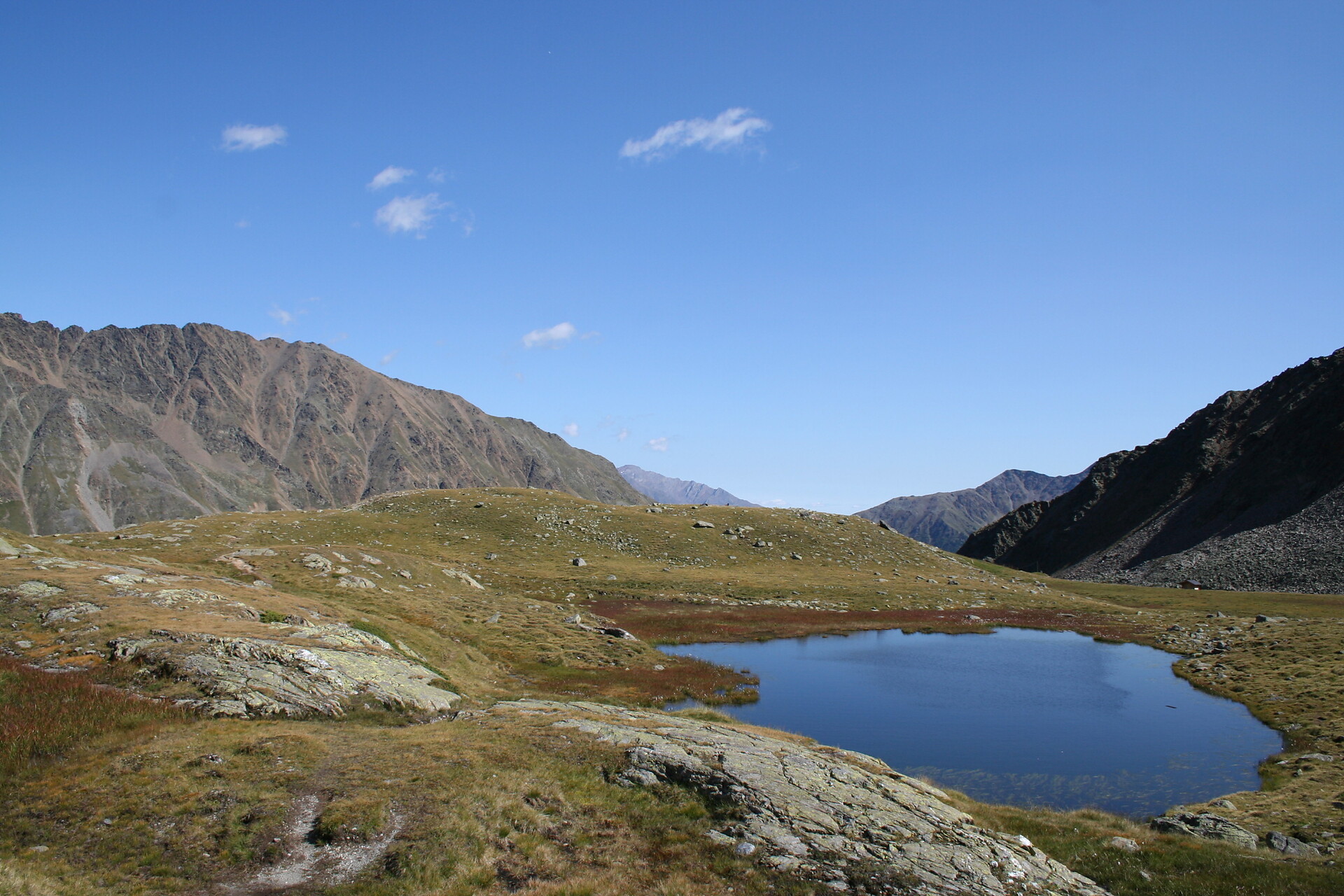
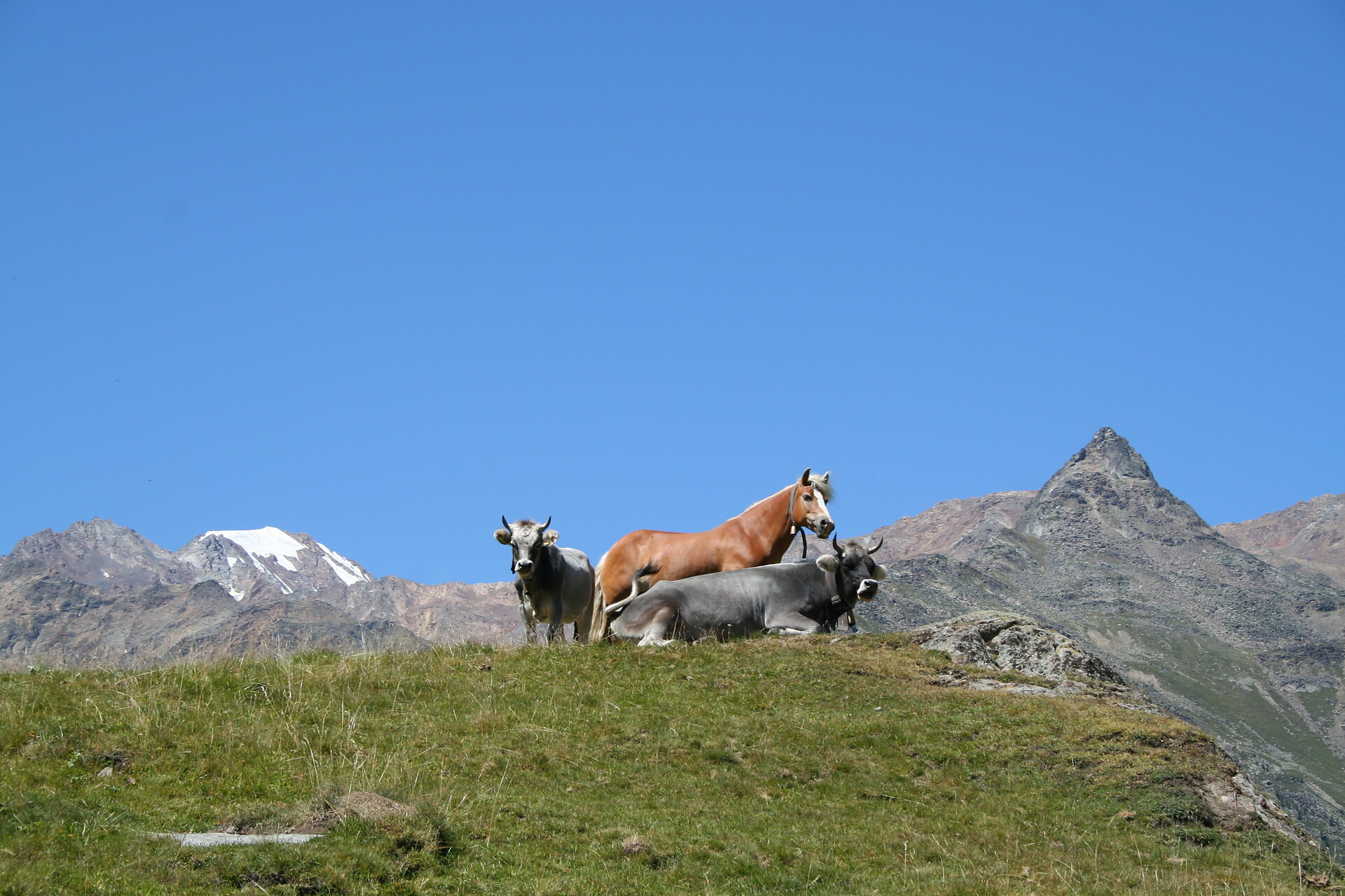
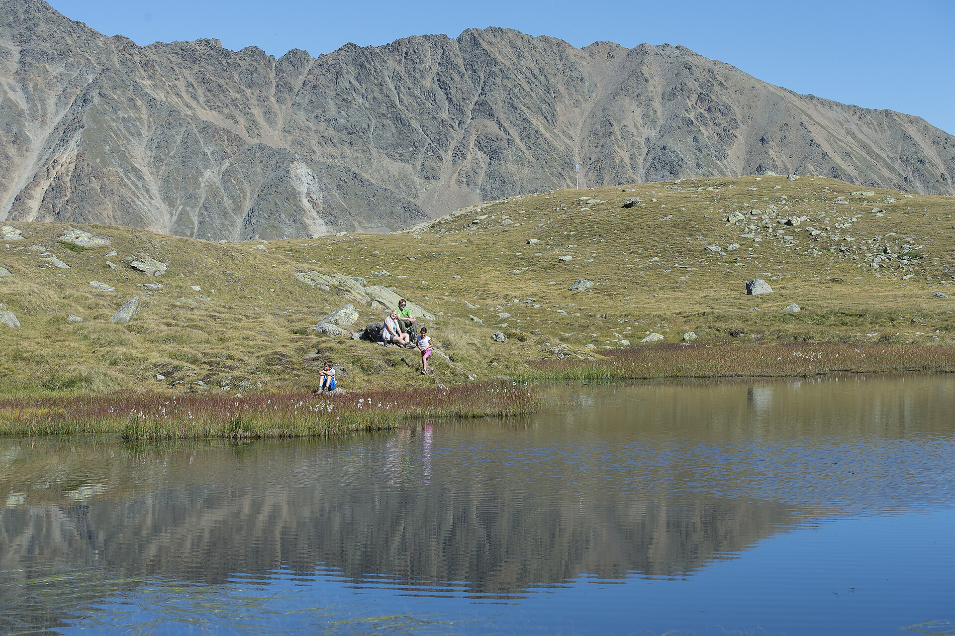
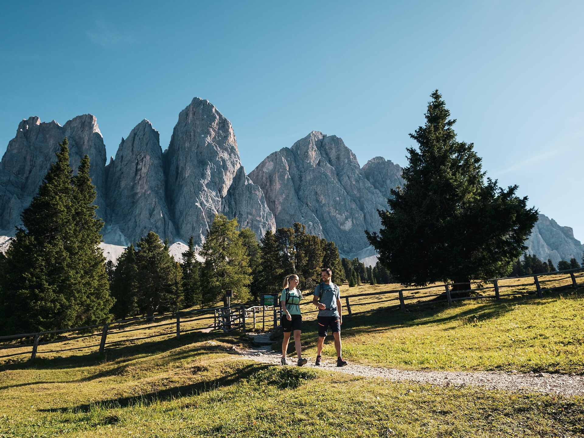
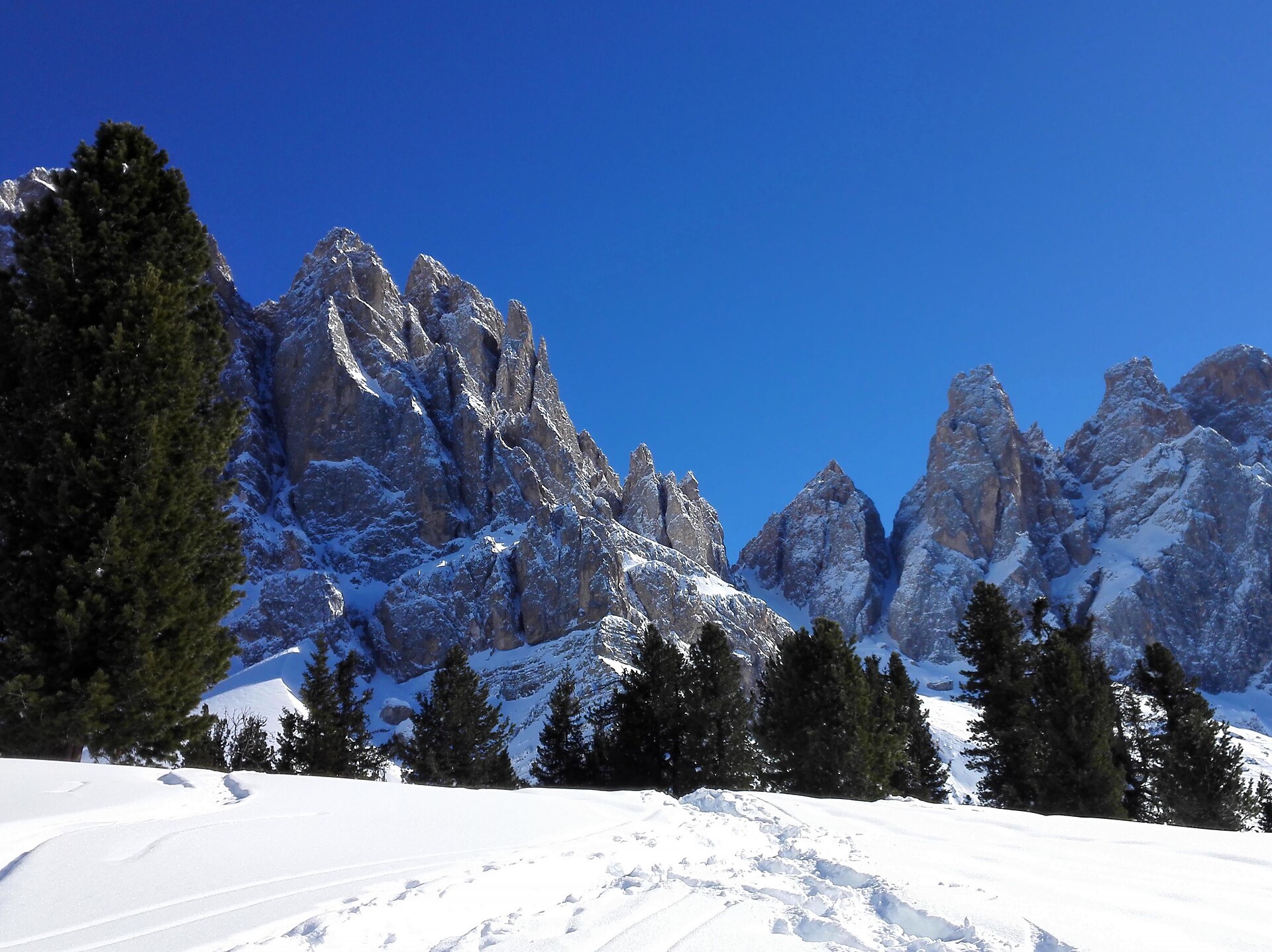
Über 16.000 Kilometer markierte, naturbelassene Wanderwege führen durch Südtirols kontrastreiche Landschaft, darunter Themenwege, Mehrtagestouren und Hochalpinsteige. Mit Seilbahnen überwindest du die ersten Höhenmeter und kannst dann direkt deine Panoramawanderung starten – etwa auf Meran 2000, auf der Plose oder am Kronplatz. Durch Südtirol führen außerdem der Europäische Fernwanderweg E5, der Jakobsweg und der Europahöhenweg 2. Zur Rast und Stärkung laden die zahlreichen Almenhütten. Von klein und urig bis elegant und innovativ mit gehobener Küche und großer Weinkarte. Schutz vor Wind und Wetter bieten spektakulär gelegene Schutzhütten. Kletterprofis und Anfänger gehen auf 50 Klettersteigen in den Schwierigkeitsgraden A bis F auf Tuchfühlung mit dem Felsen. Hier ist für jede Kondition das Passende dabei.
1 / 9
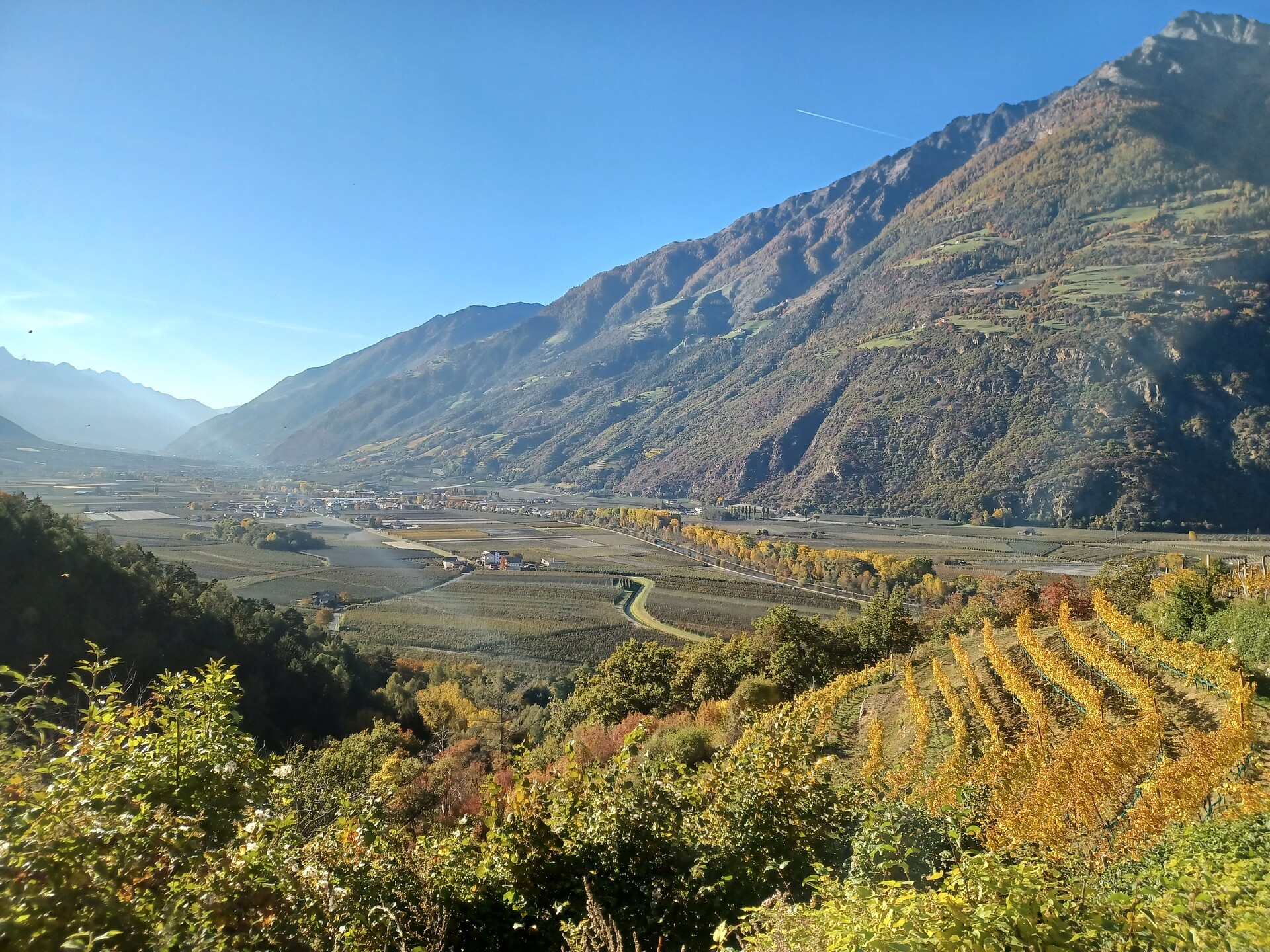
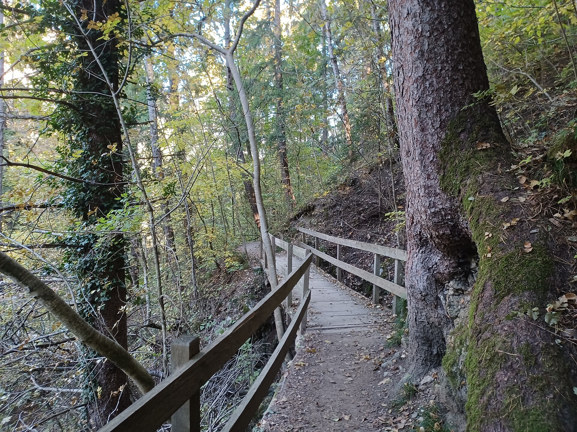
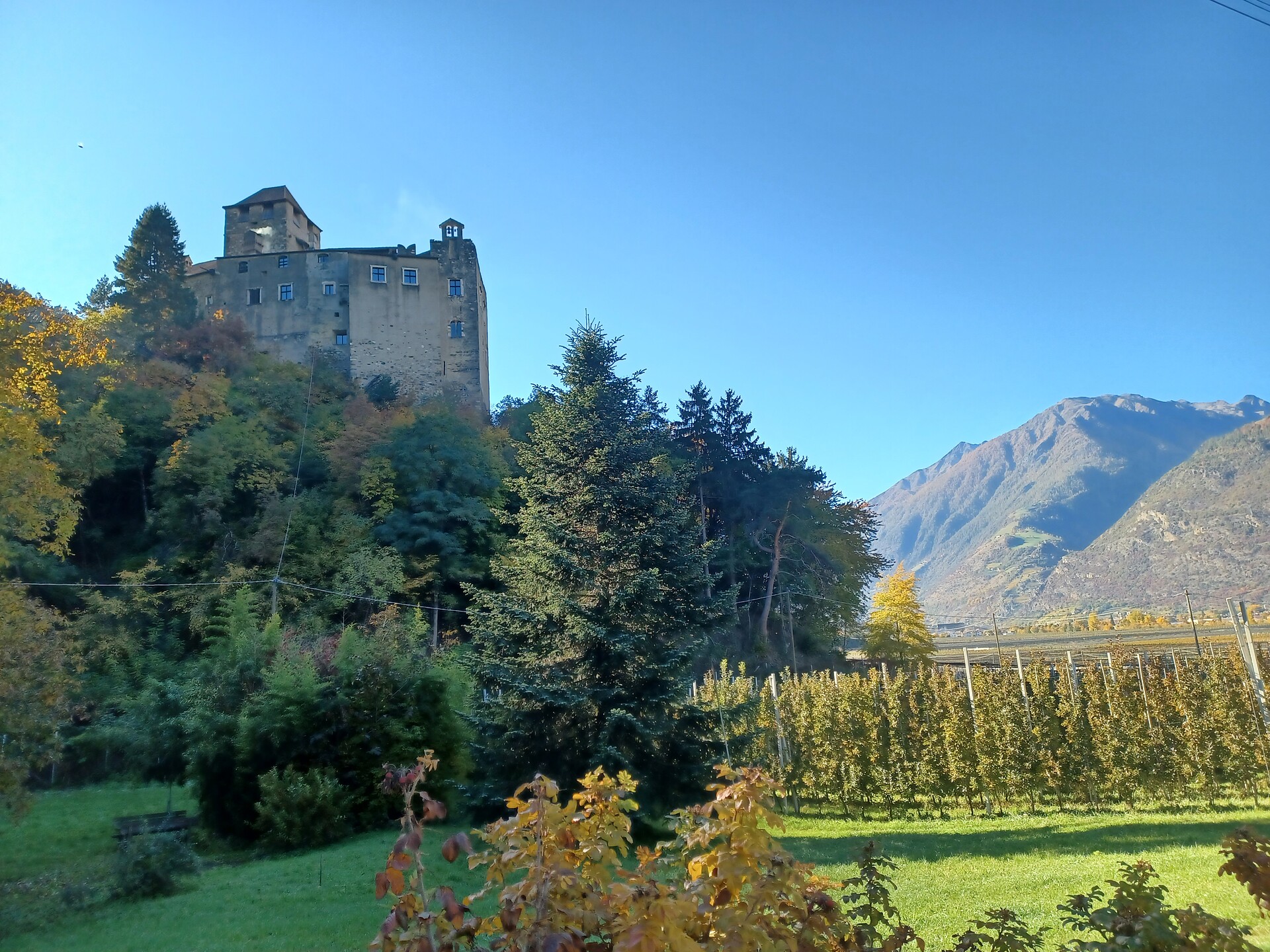
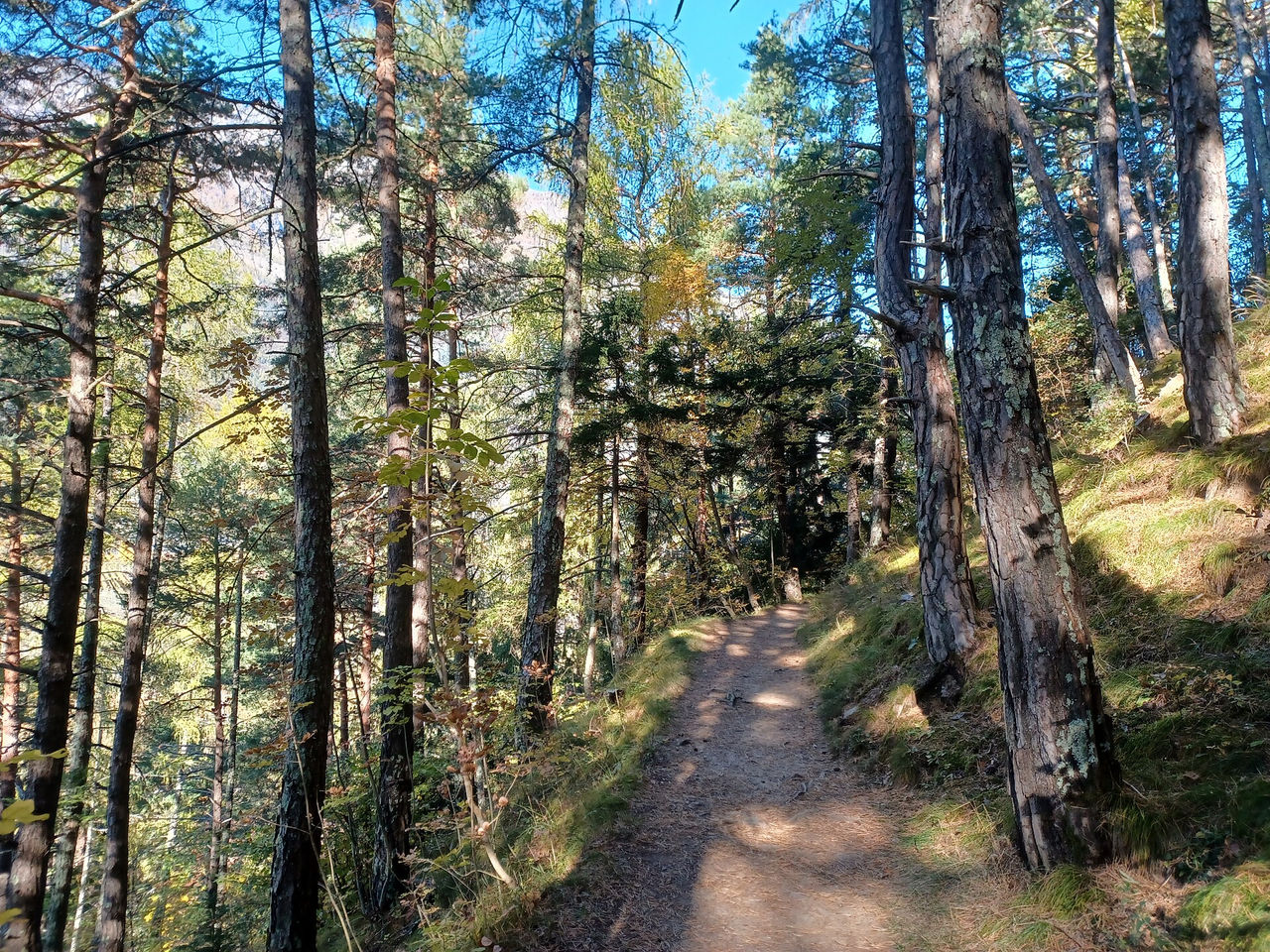
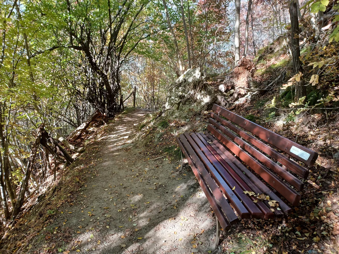
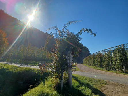
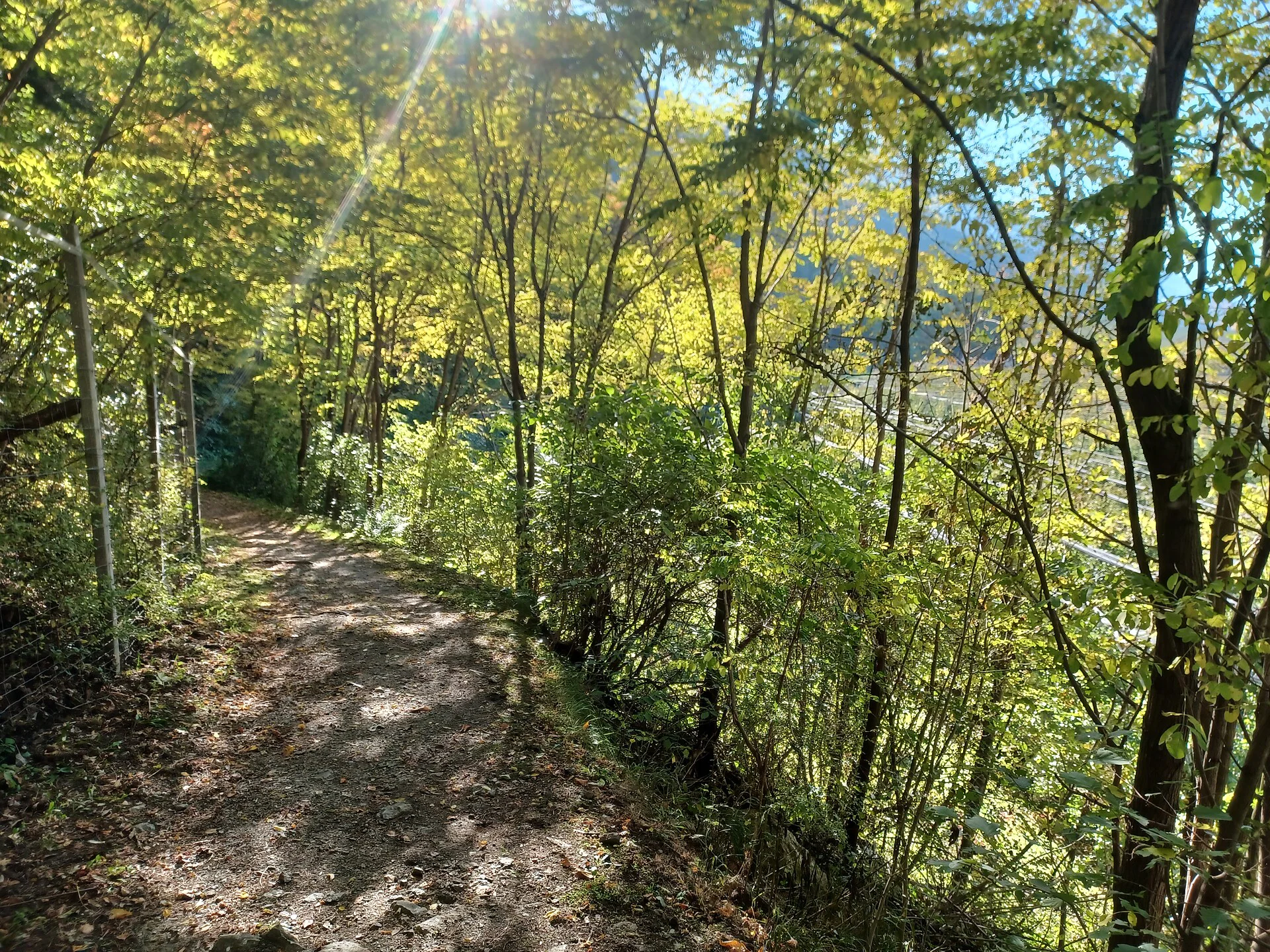
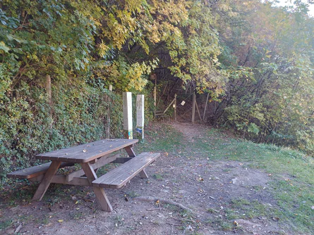
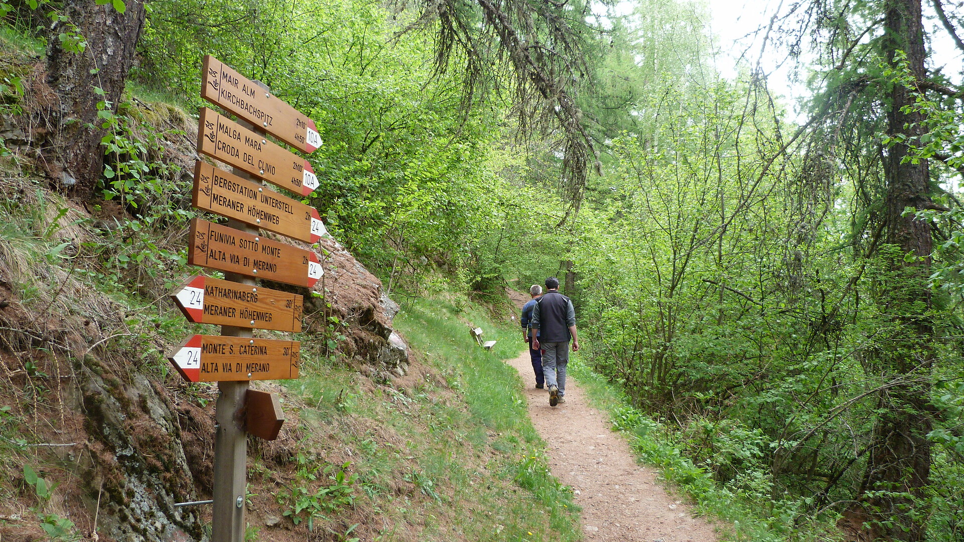
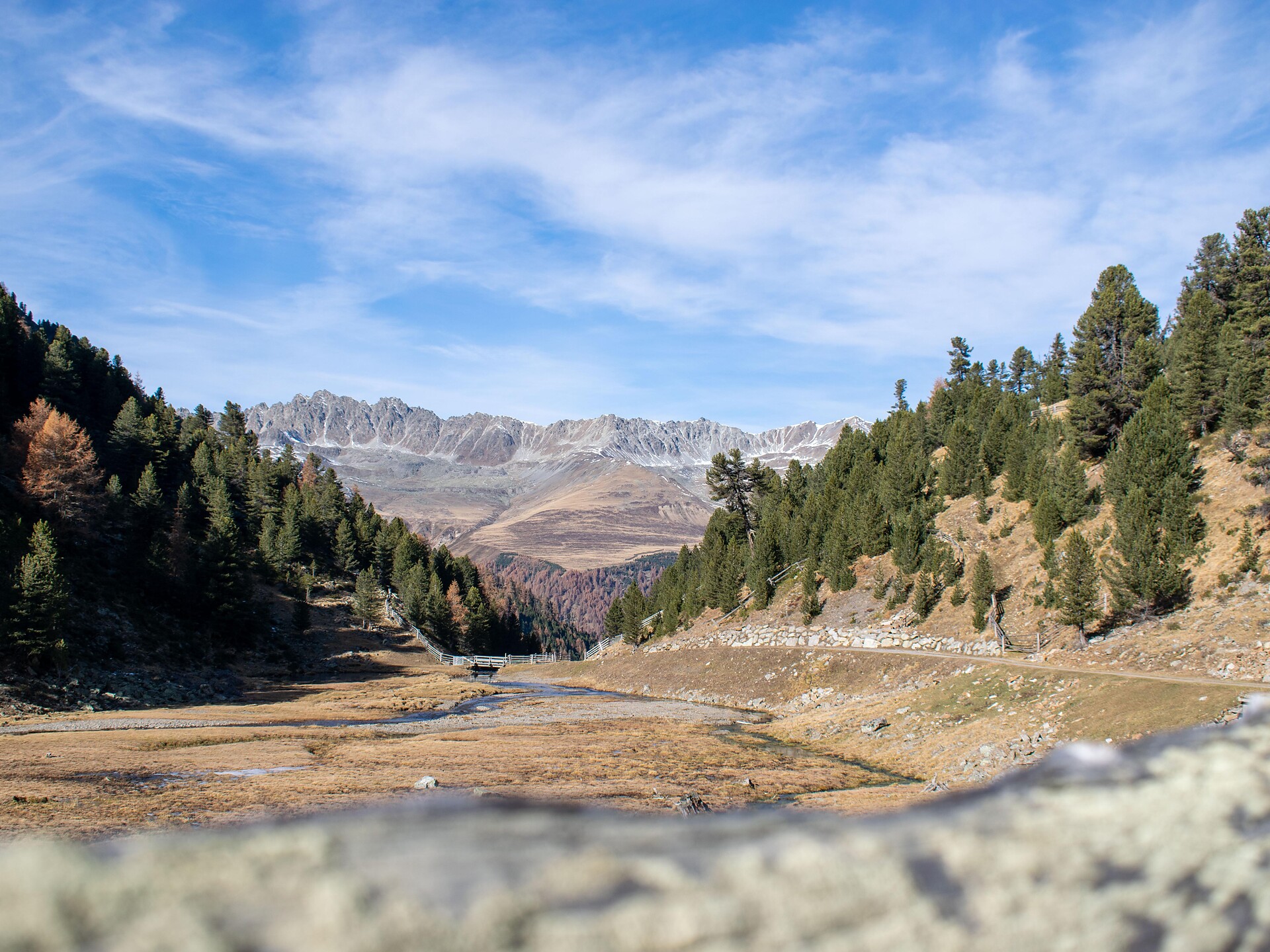
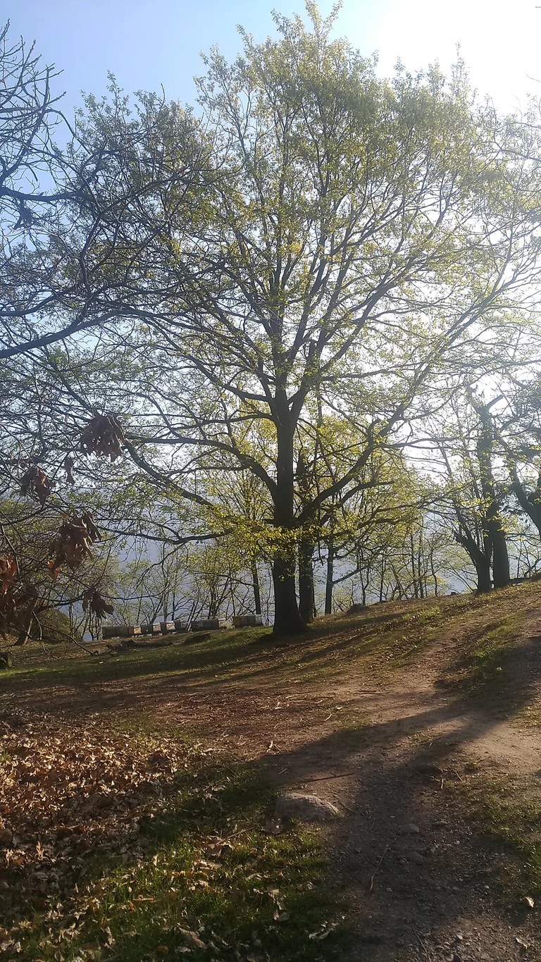
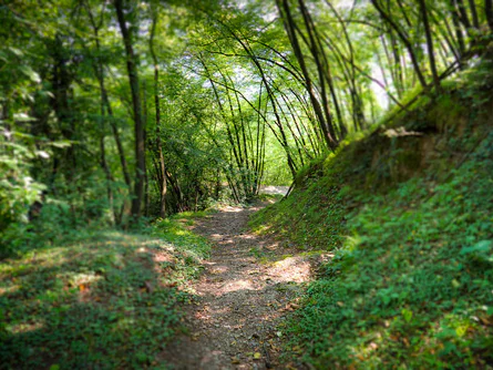
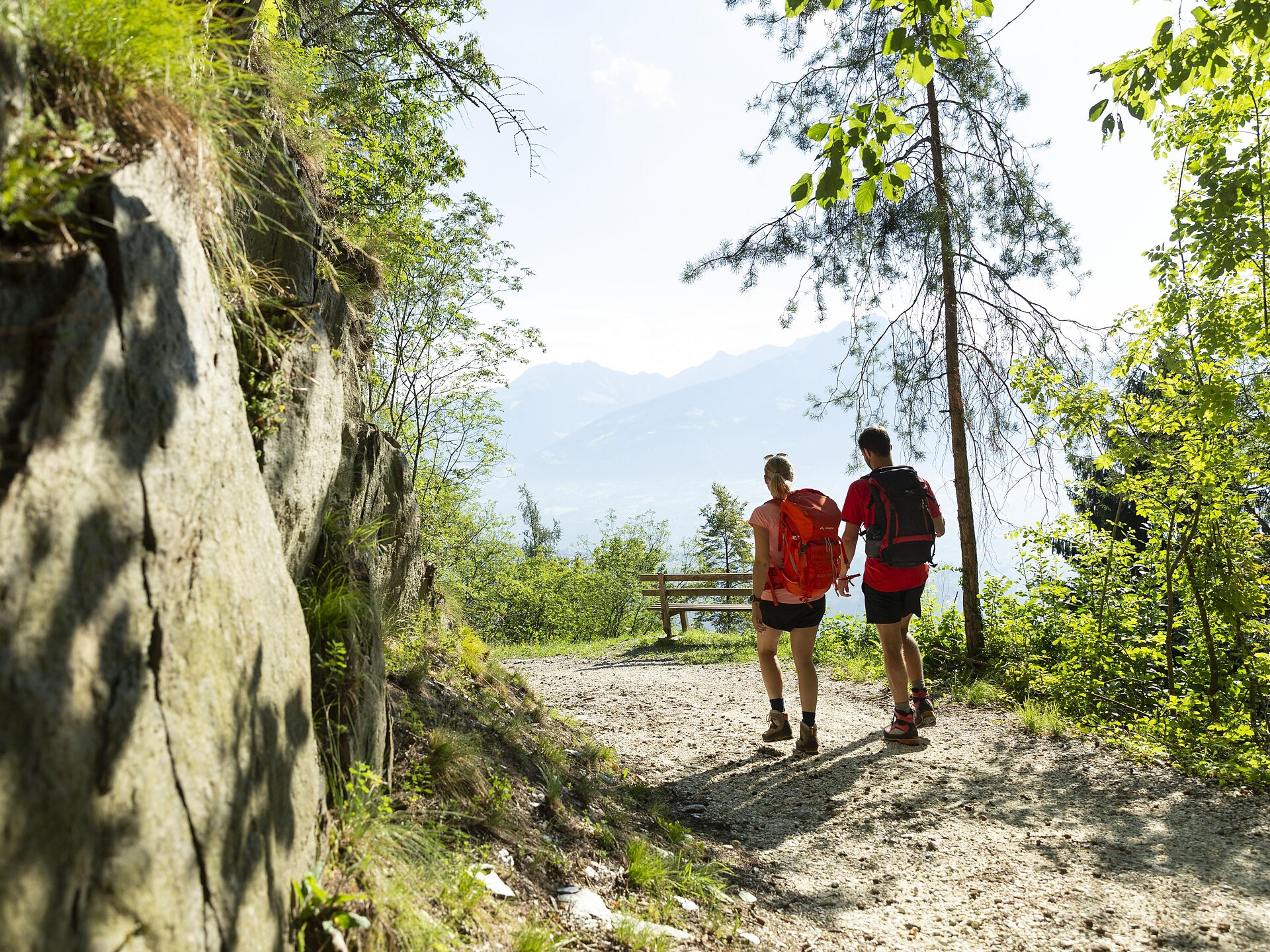
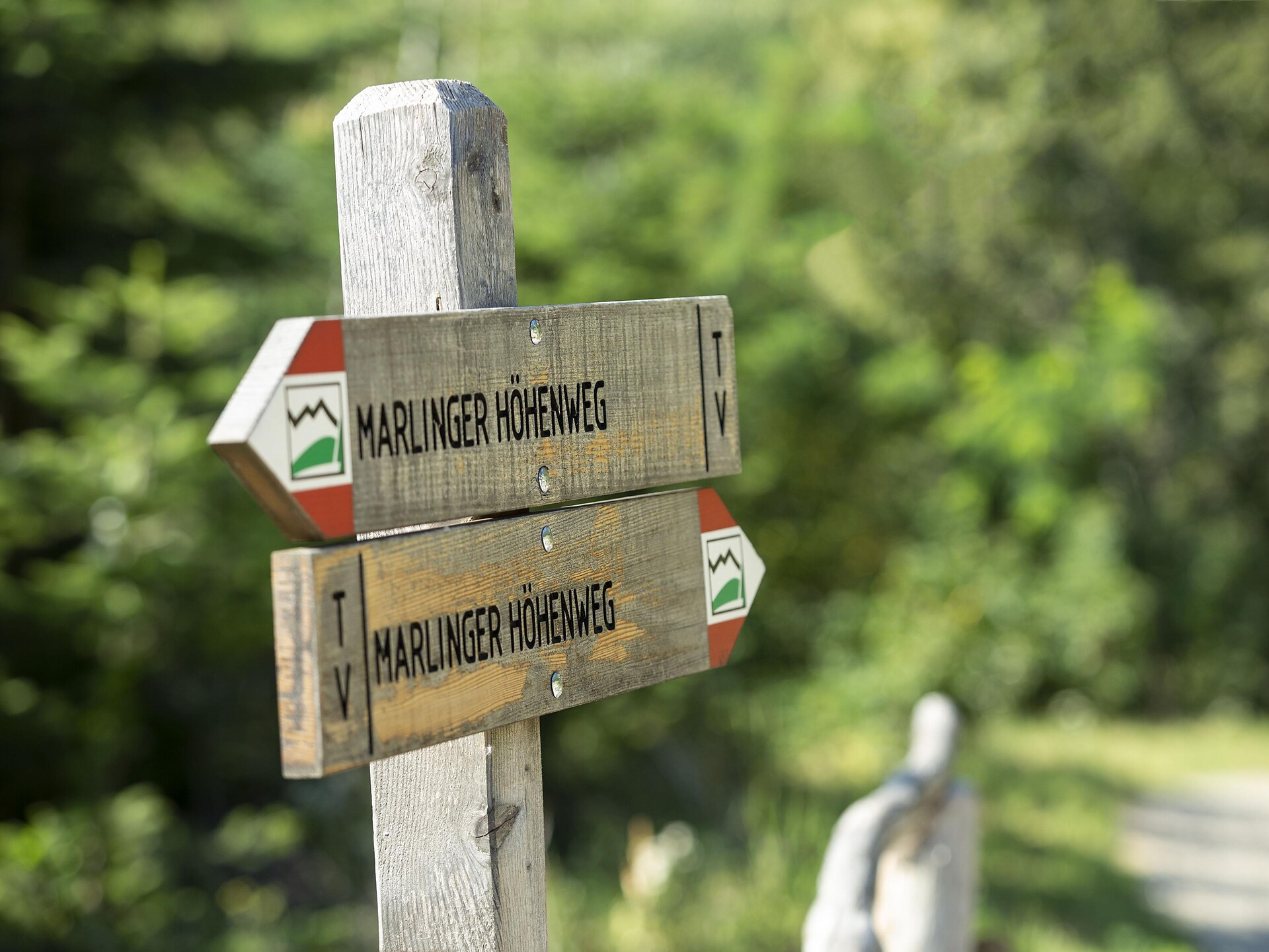
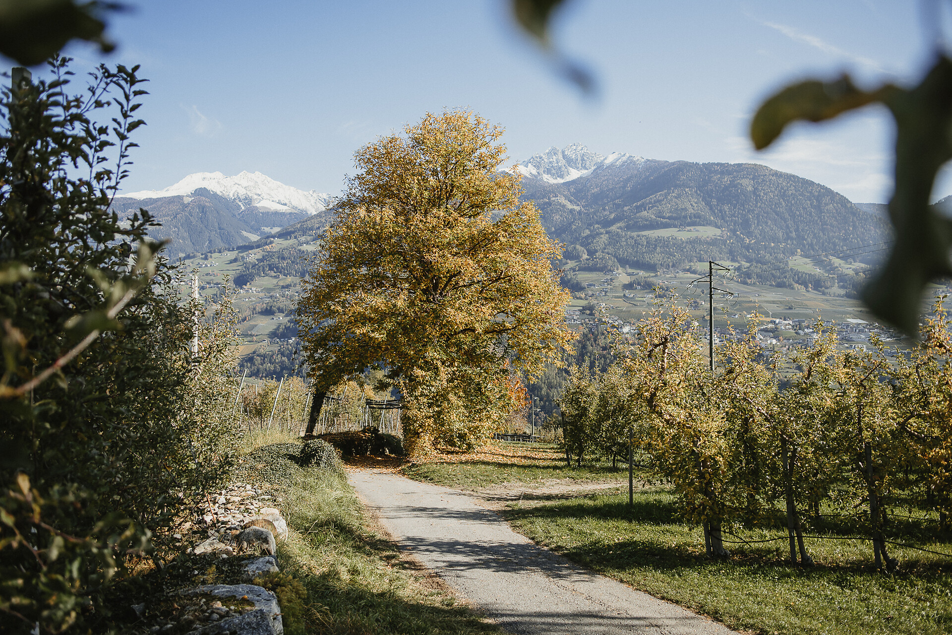
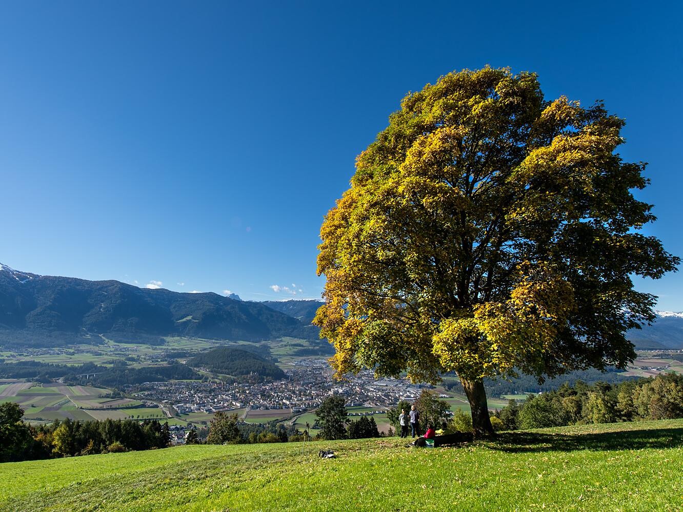
Hiking
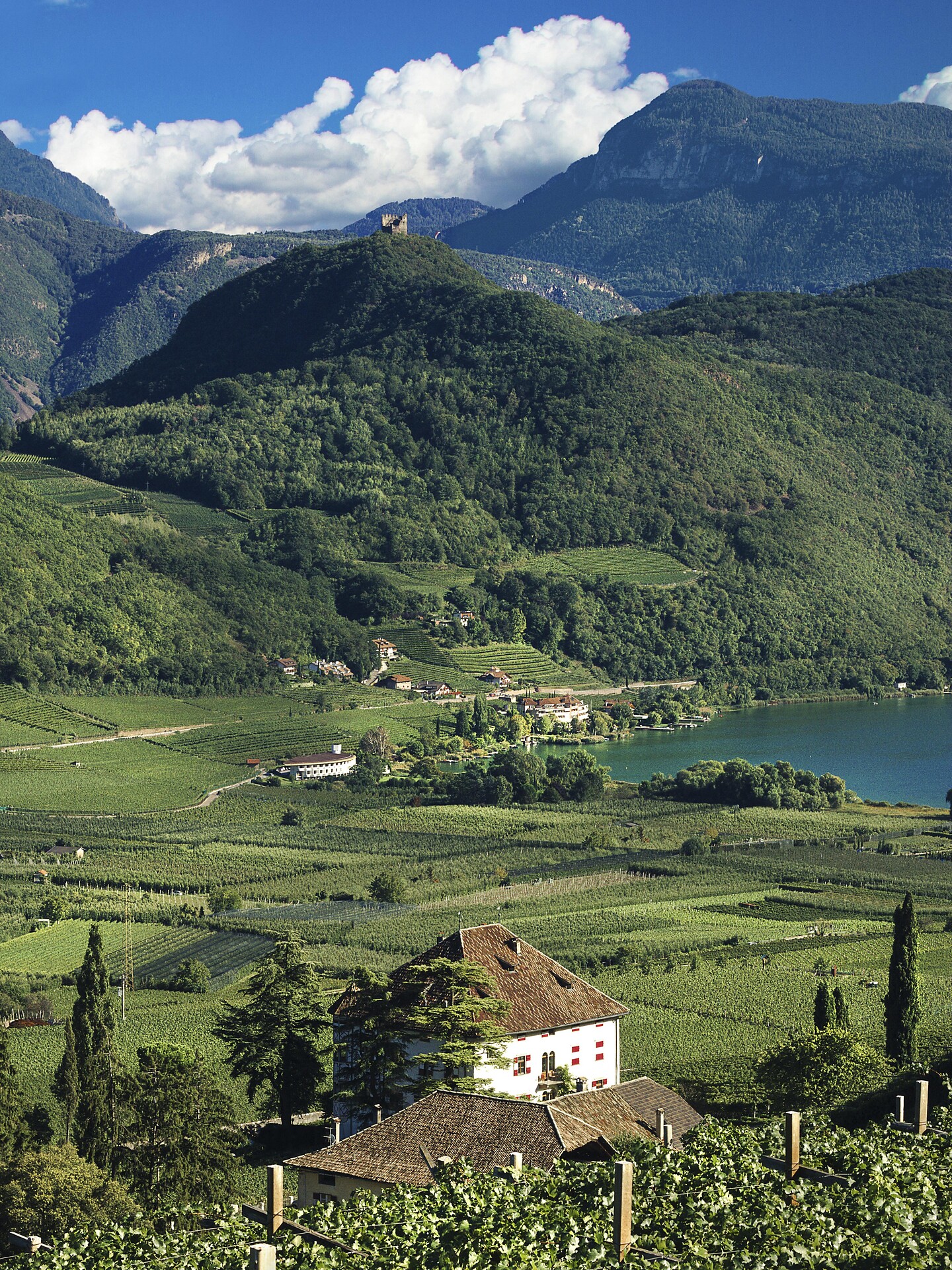
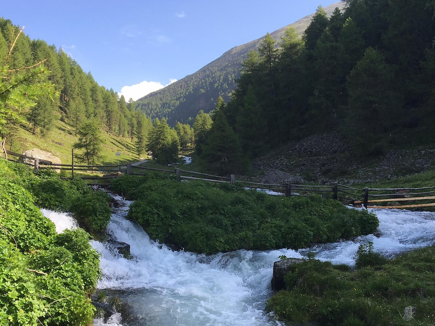
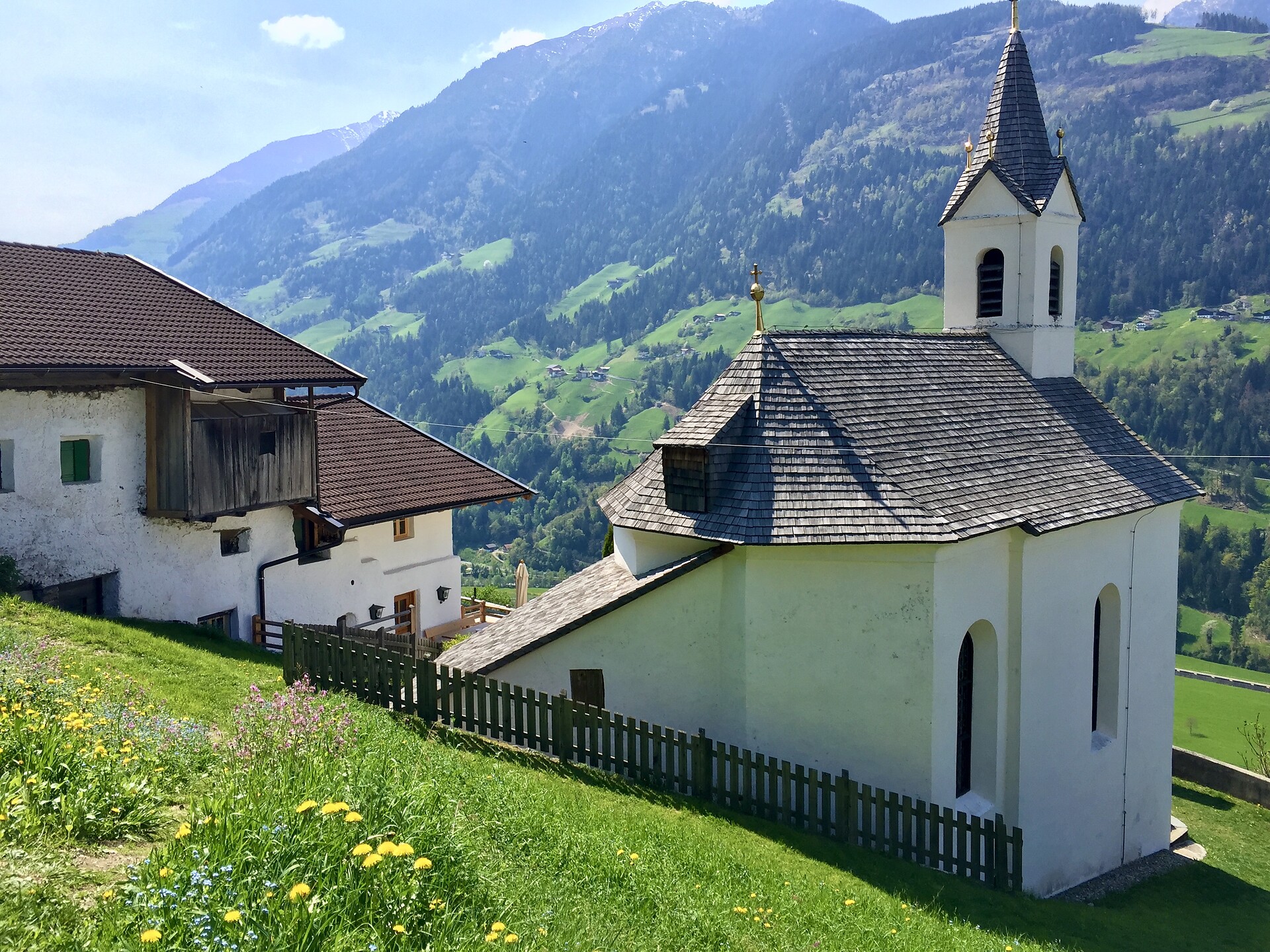
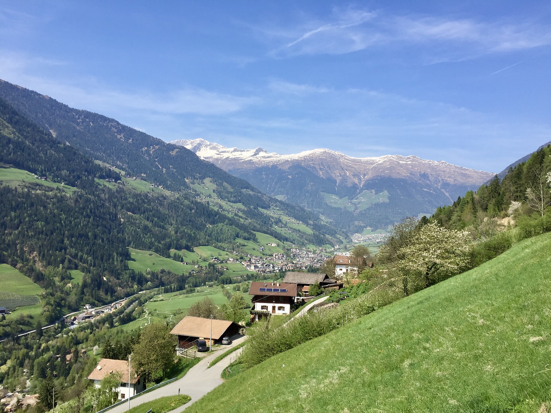
Partschins/Parcines, Meran/Merano and environs
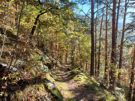
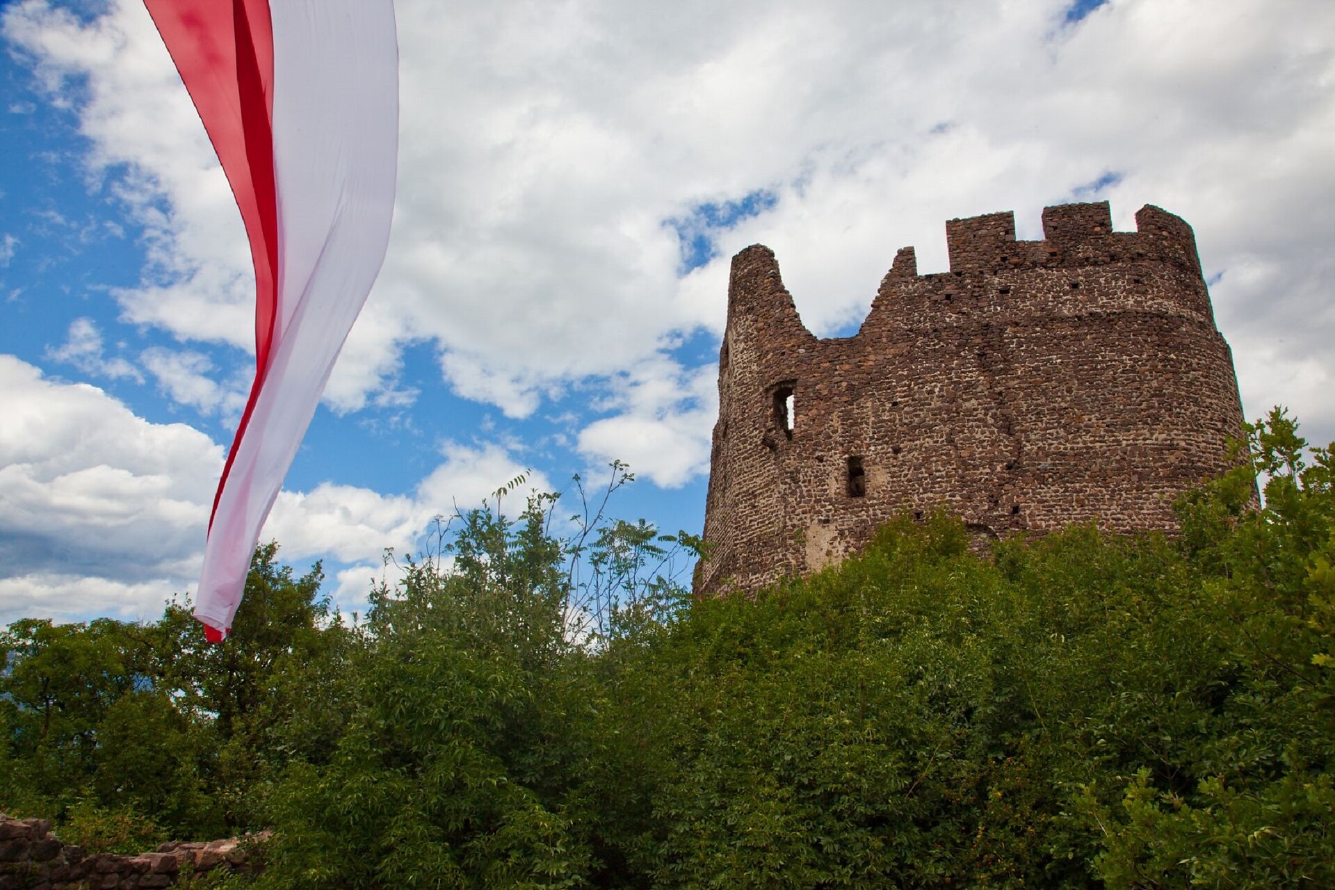
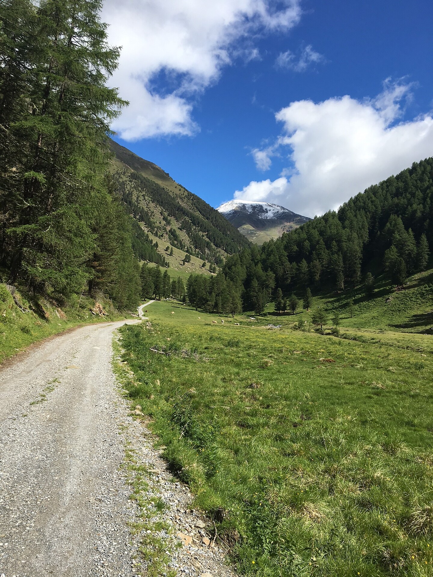
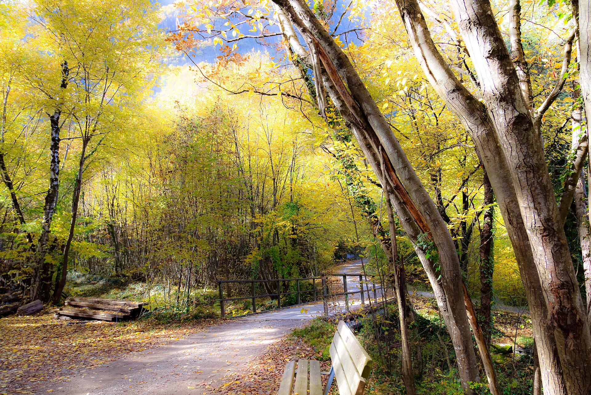
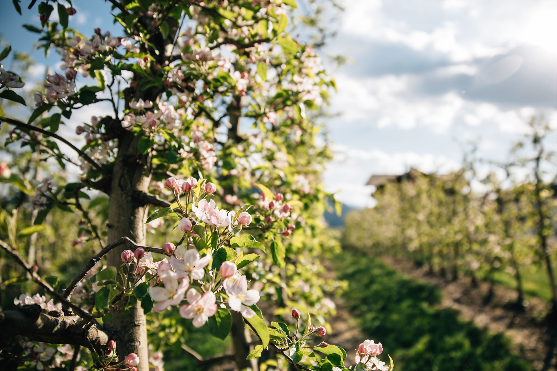
Past apple orchards and through wonderfully refreshing forests, this hike is a cool and shady hiking alternative to the dry and hot Sonnenberg side. (Sonnenberger Panoramaweg hiking trail). The highlight of this hike is the romantic Dornsberg Castle near Naturns/Naturno.


