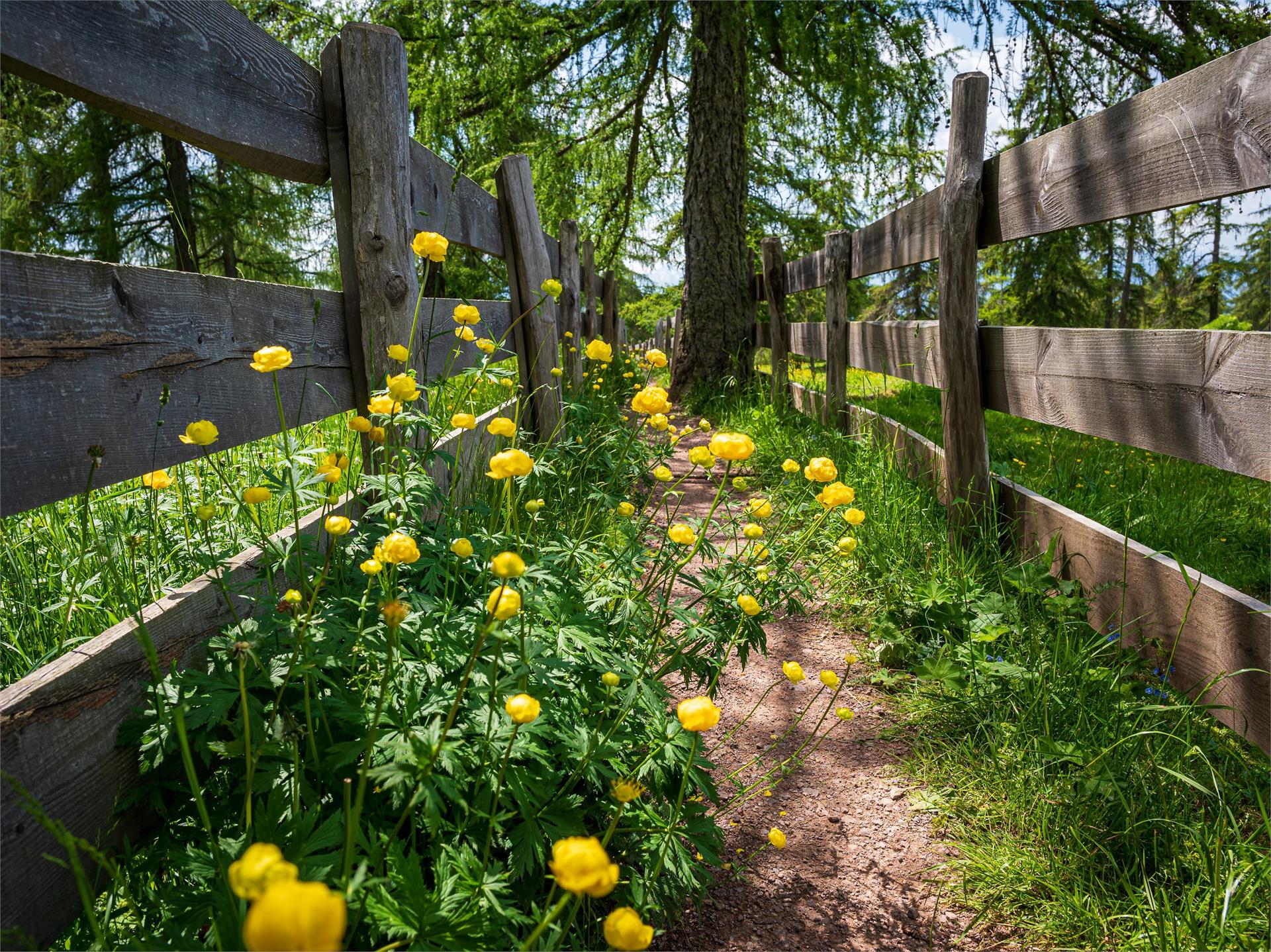
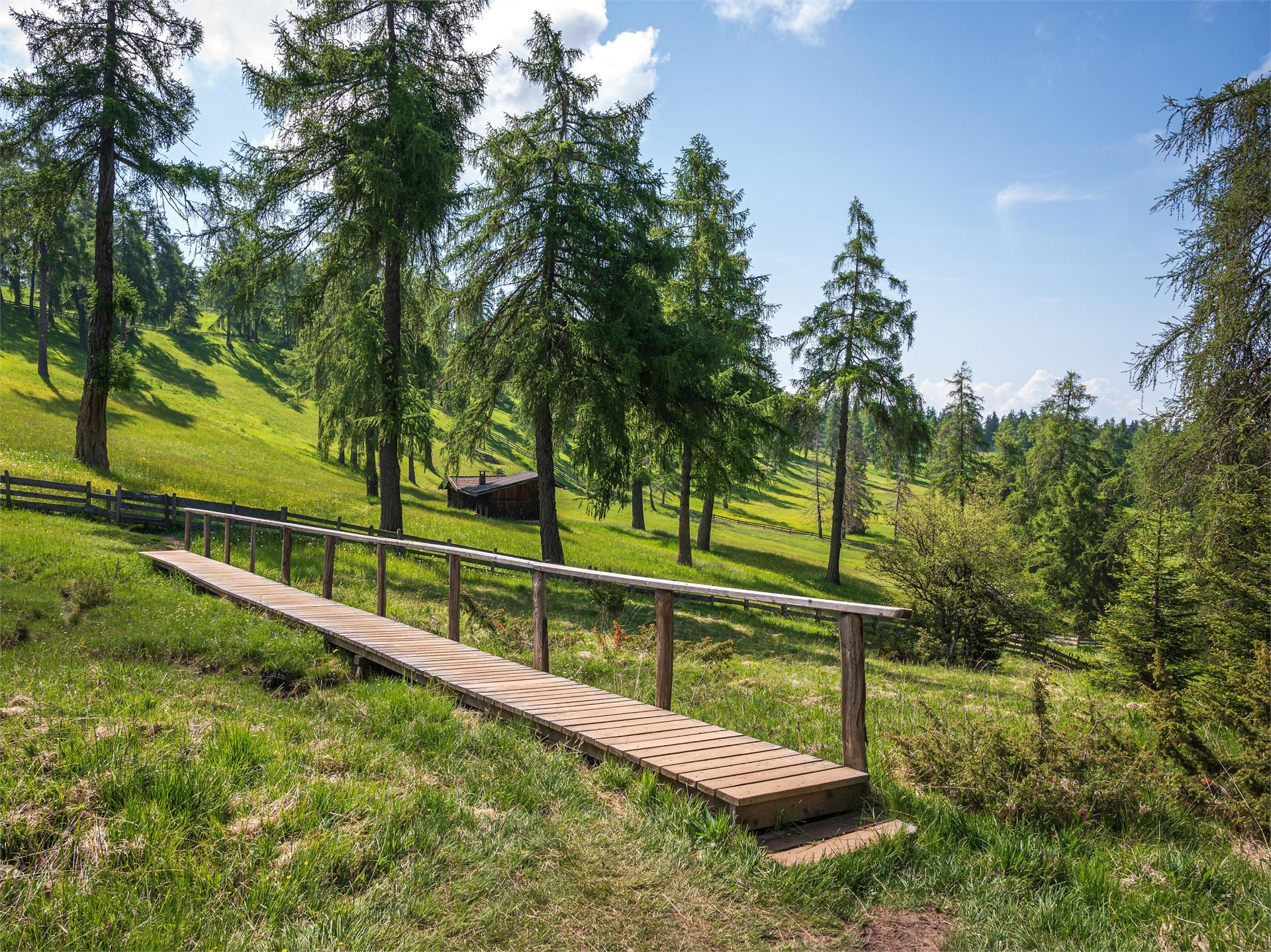
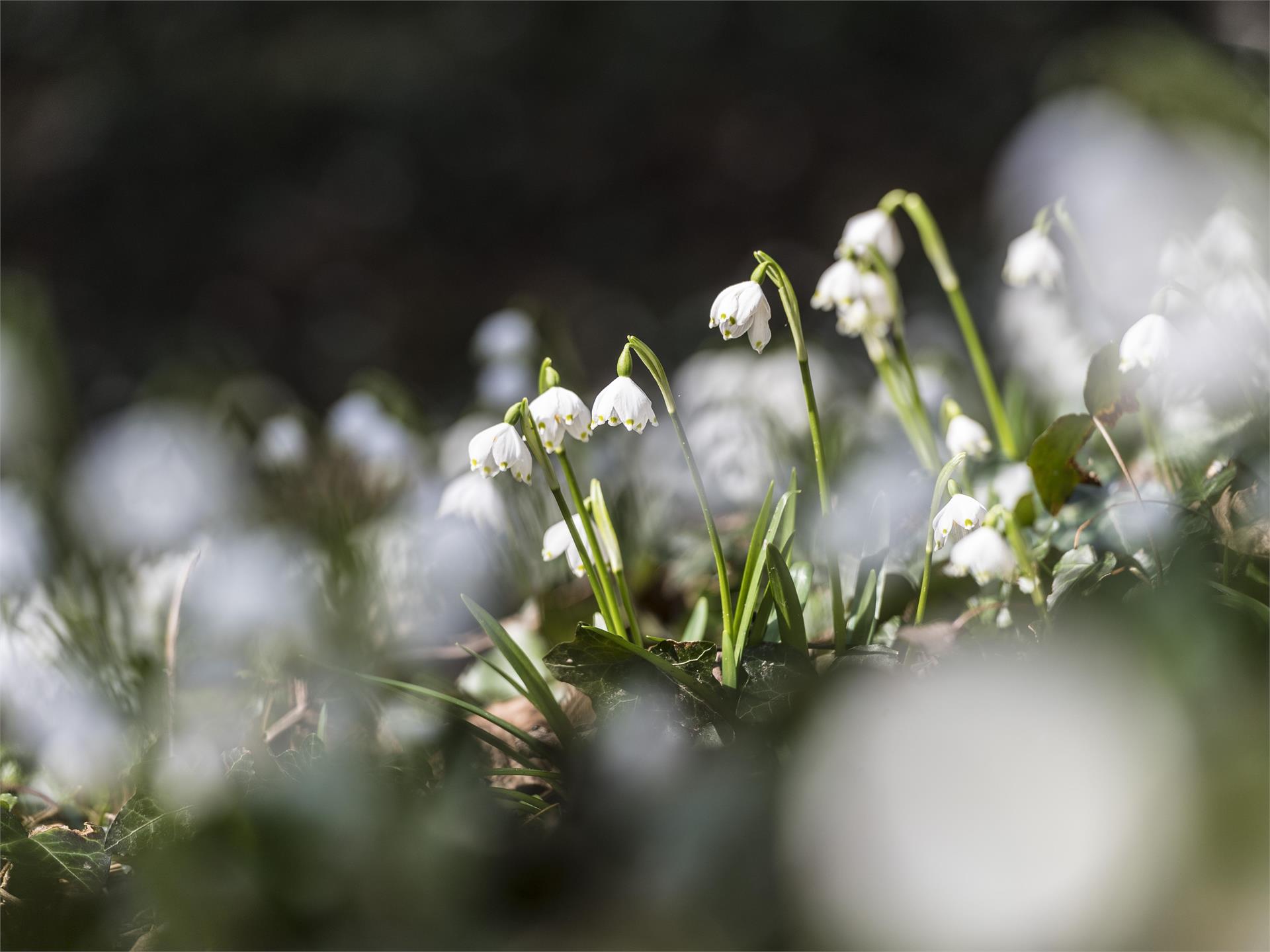
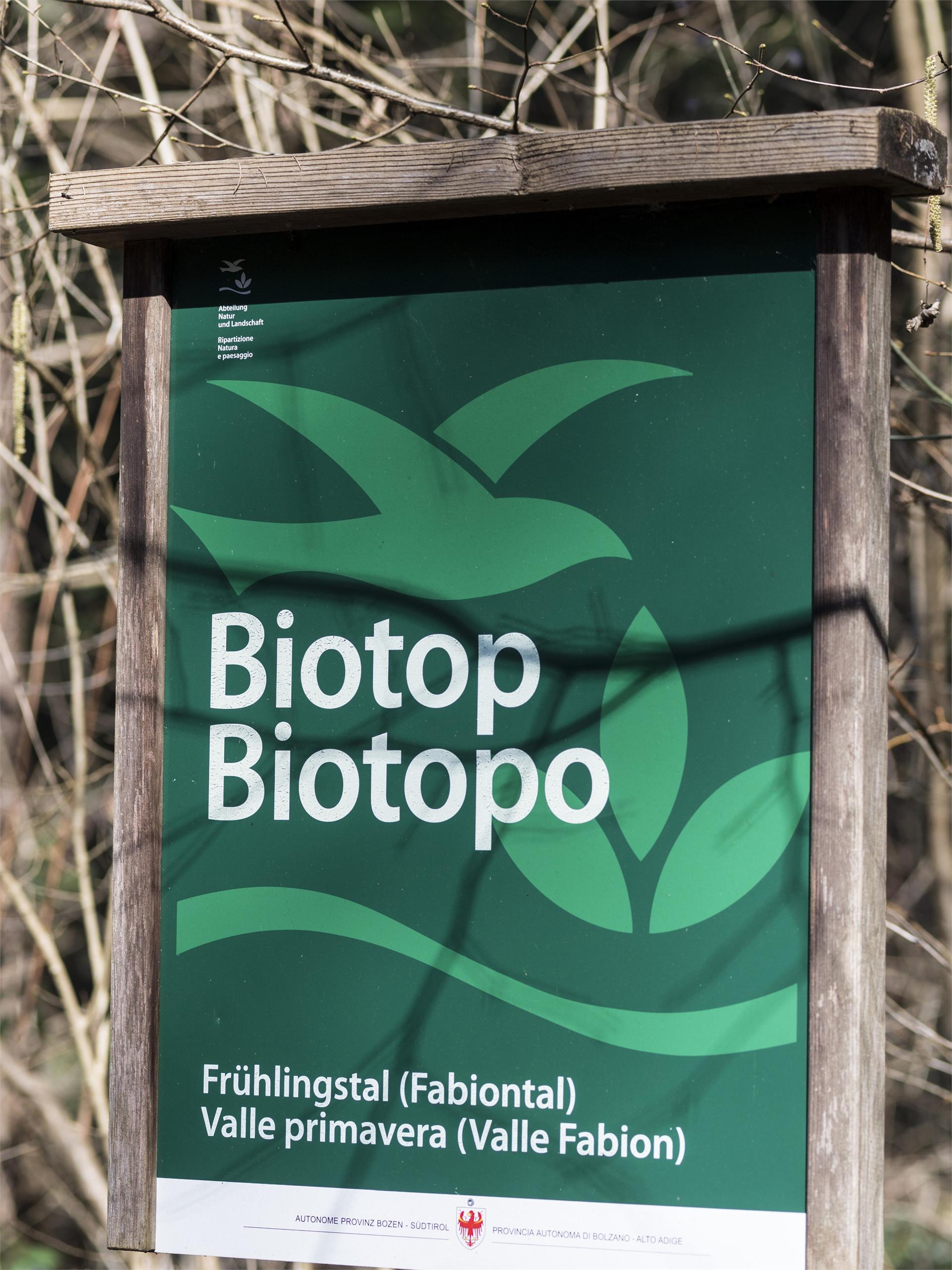
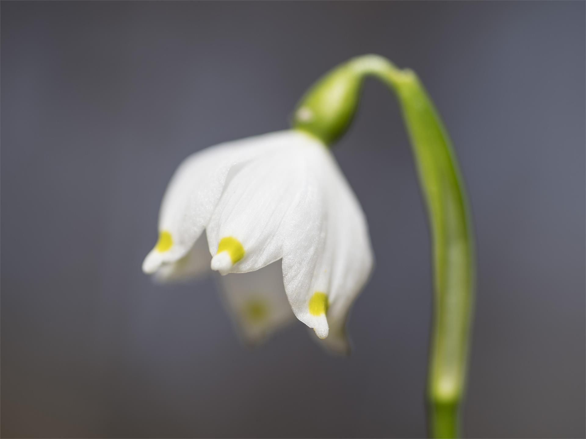
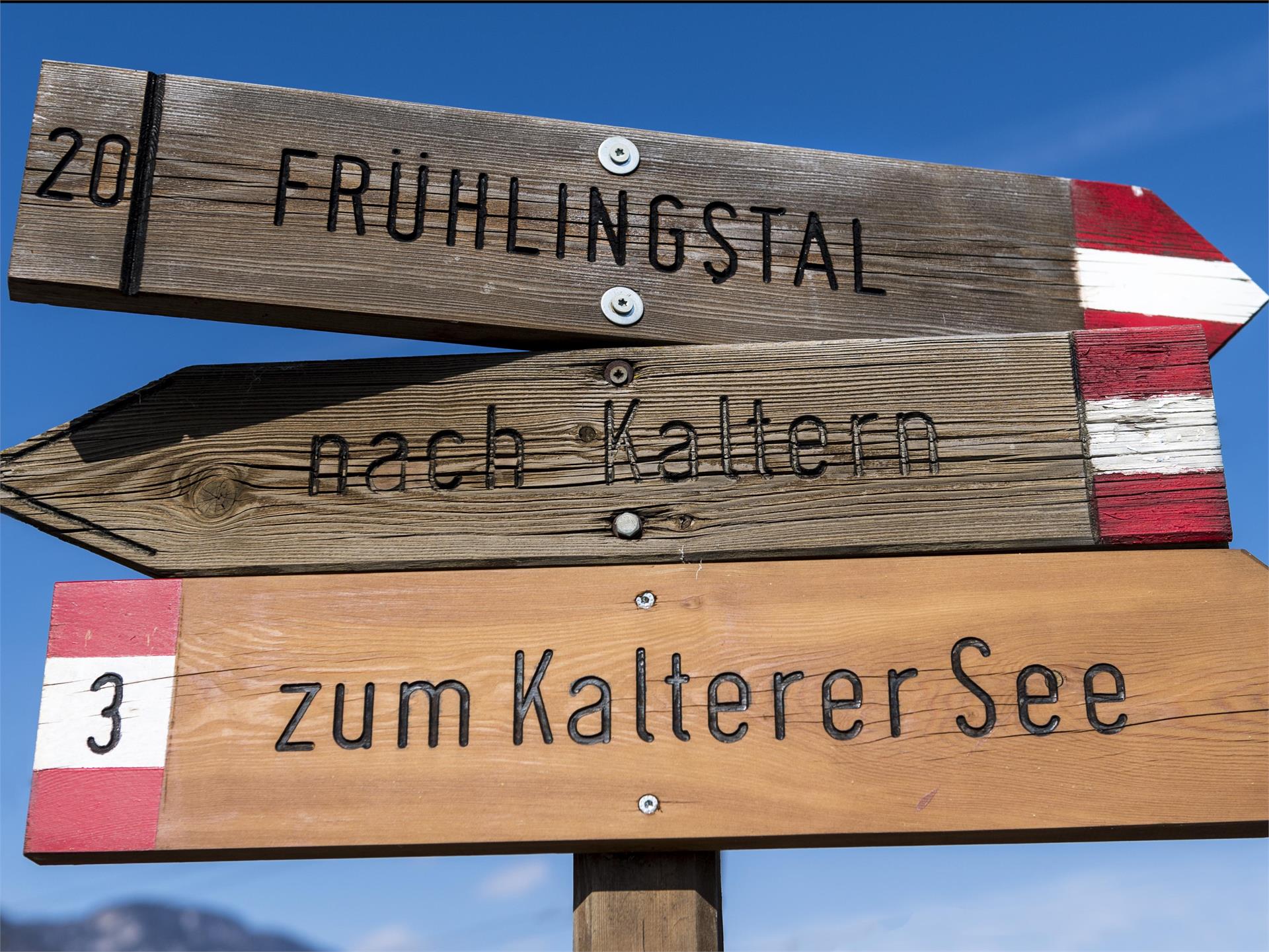
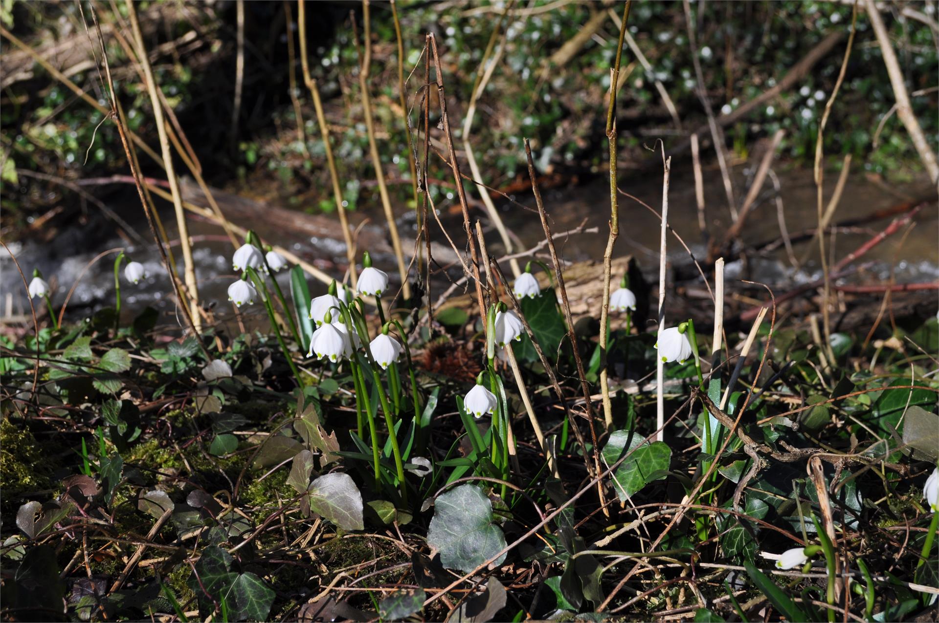
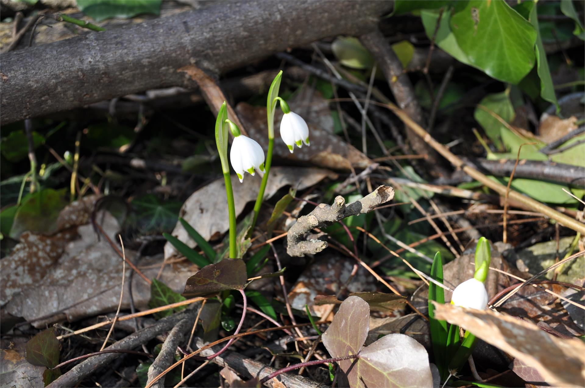
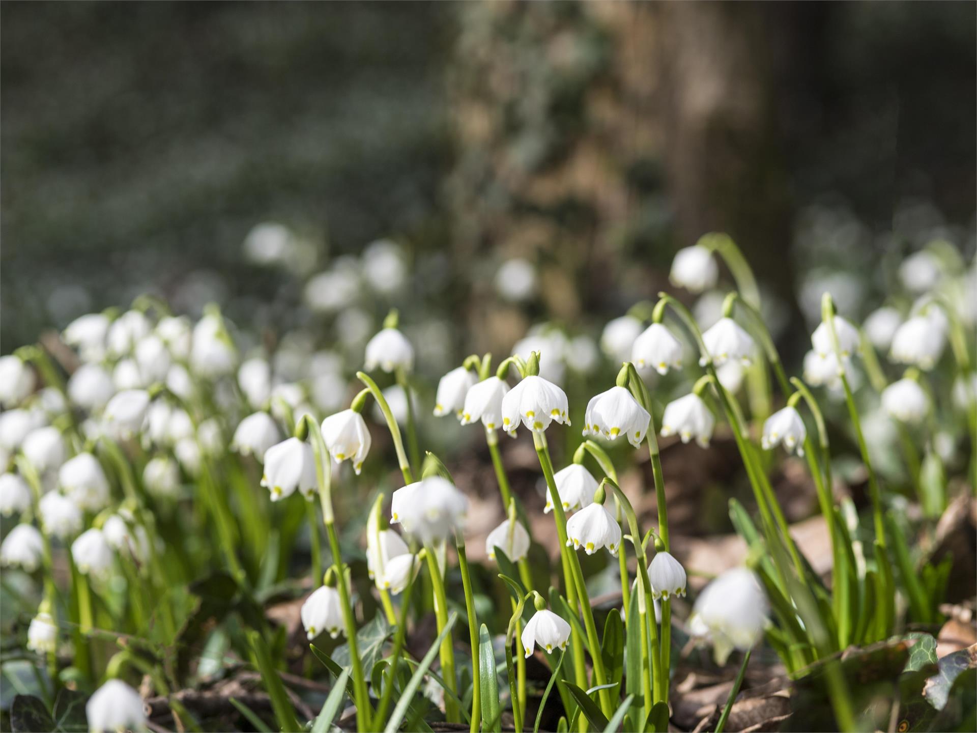
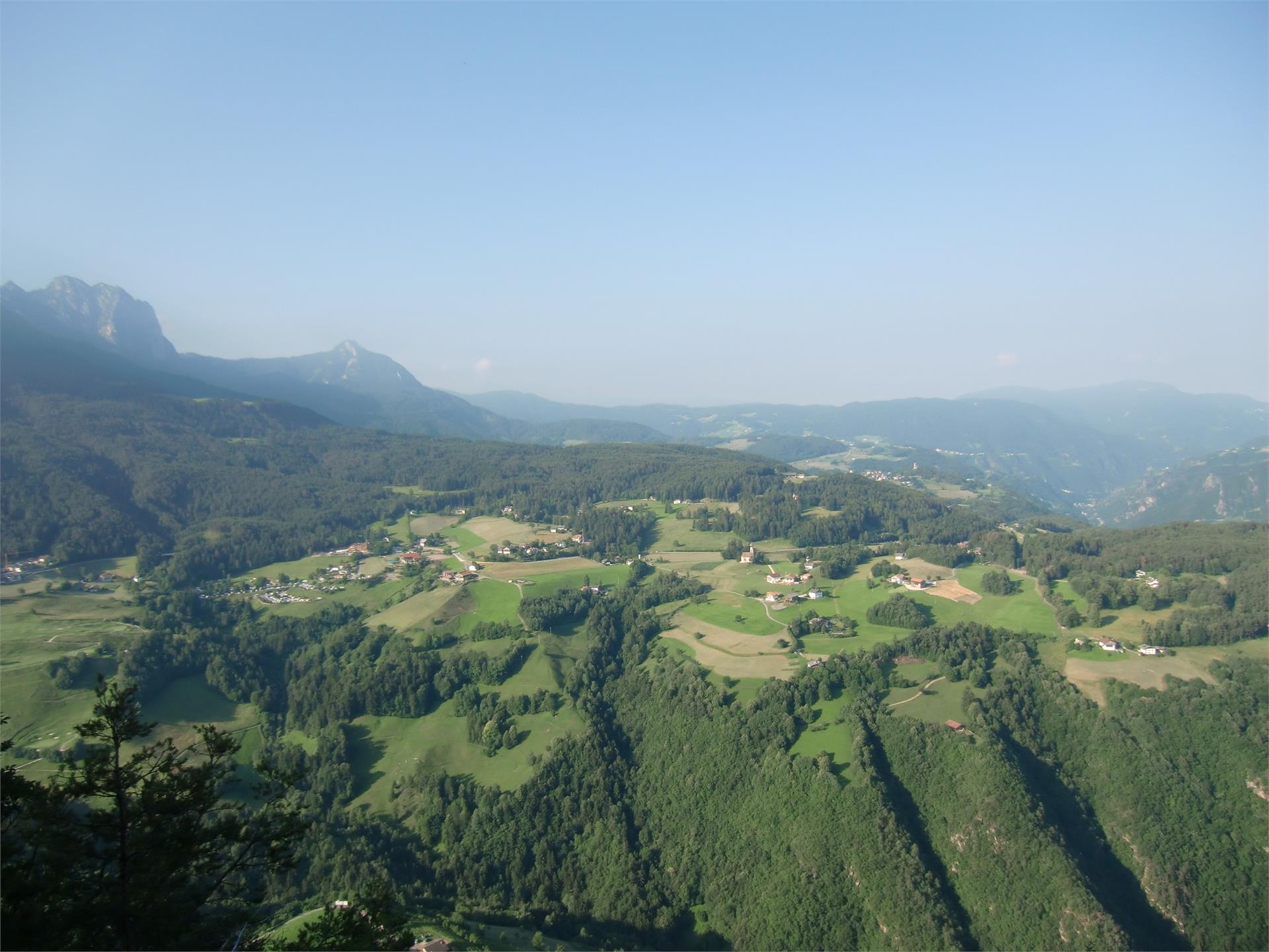
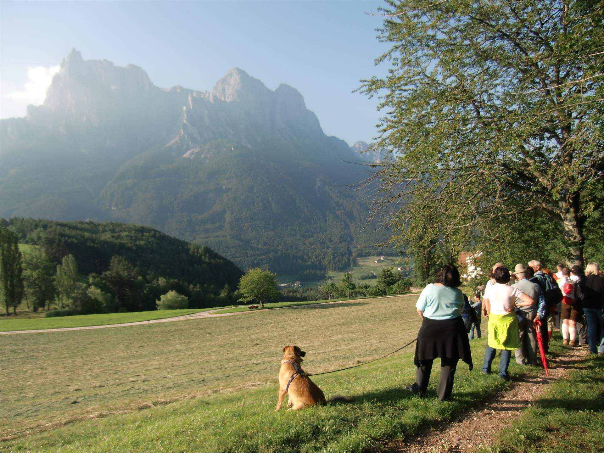
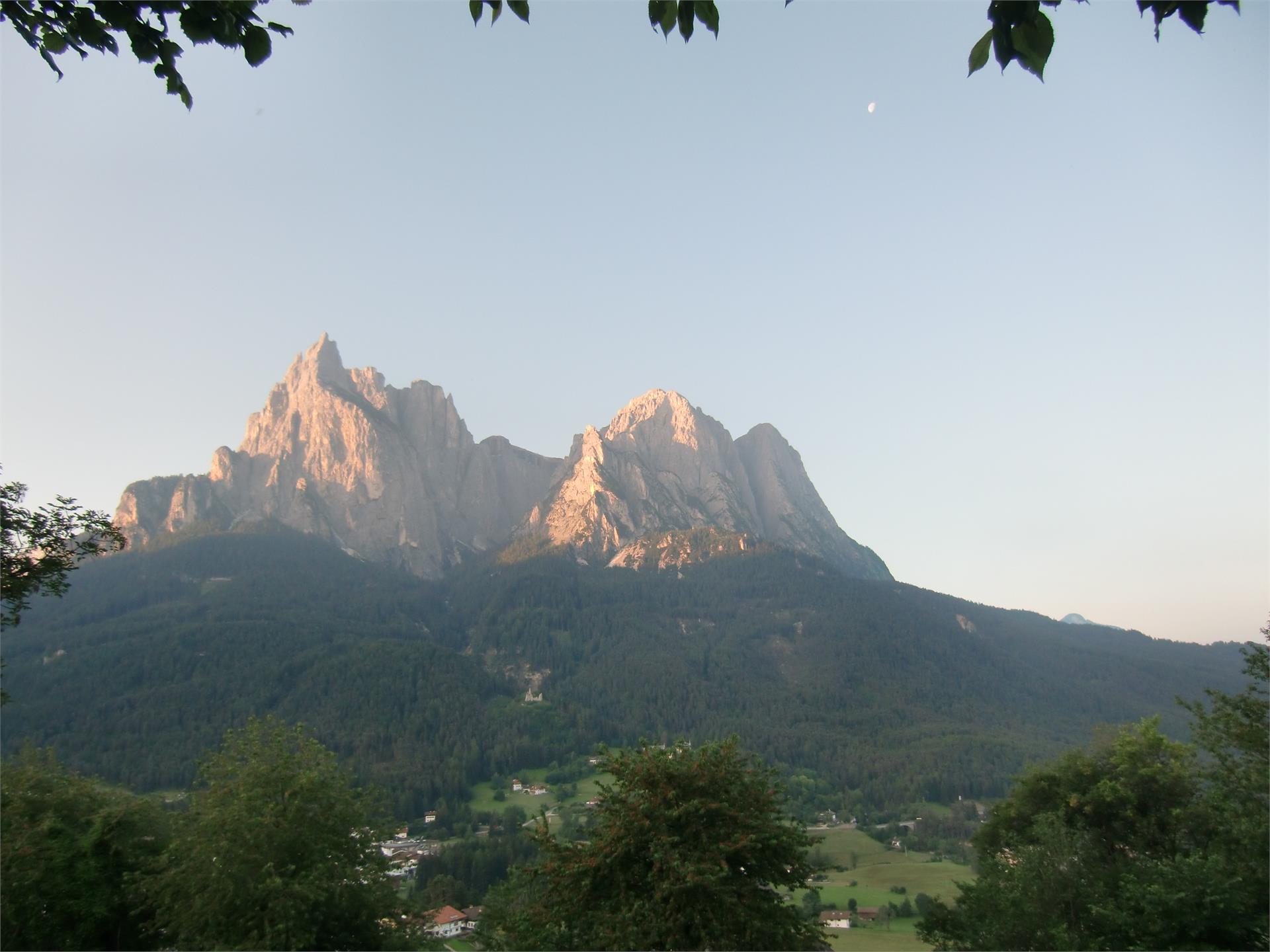
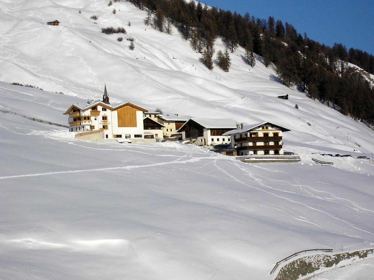
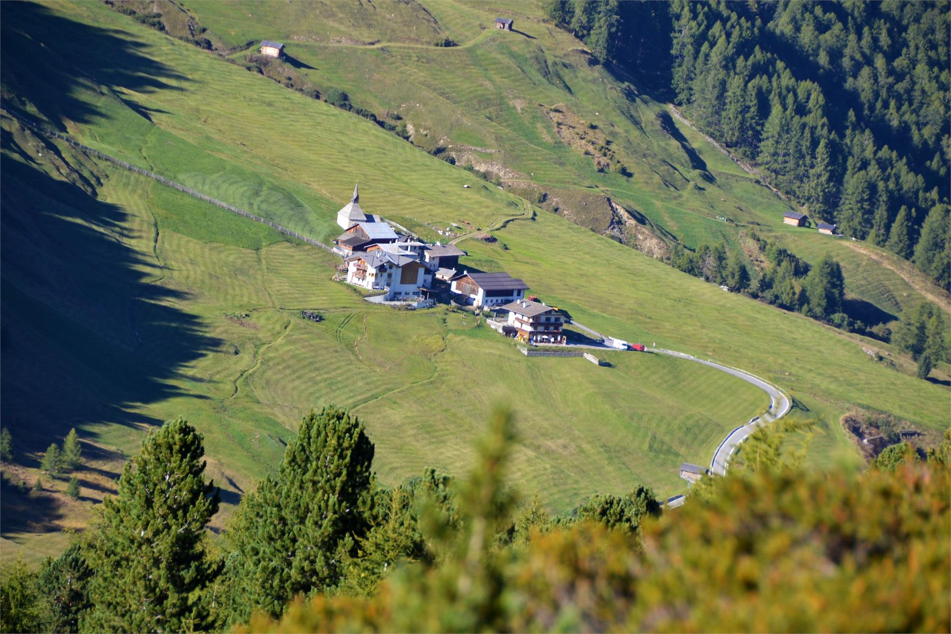
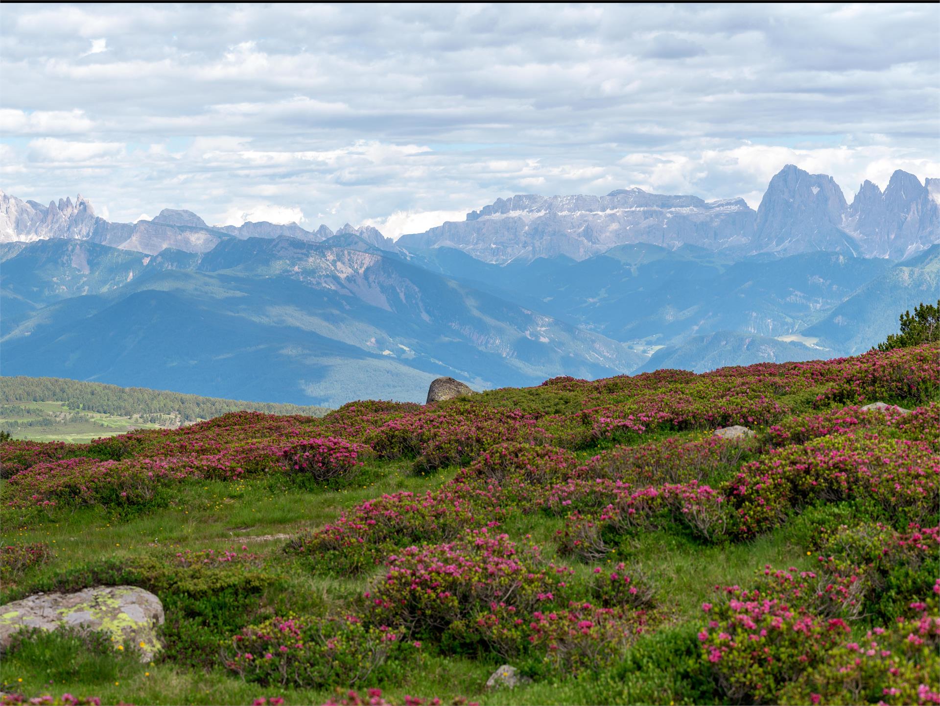
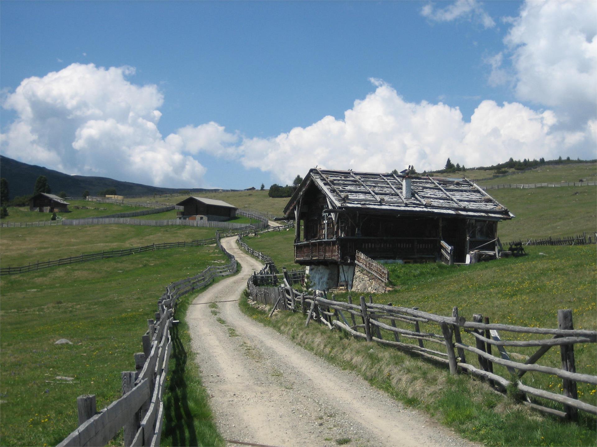

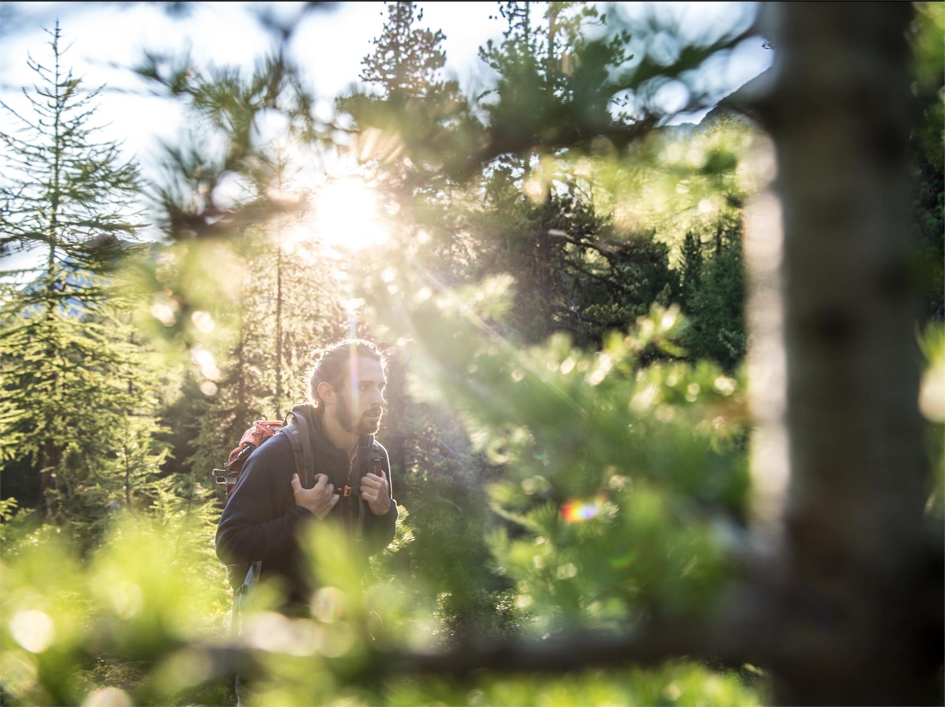
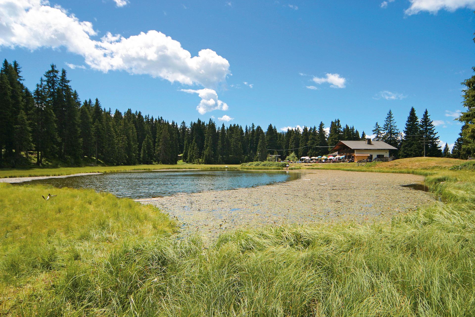
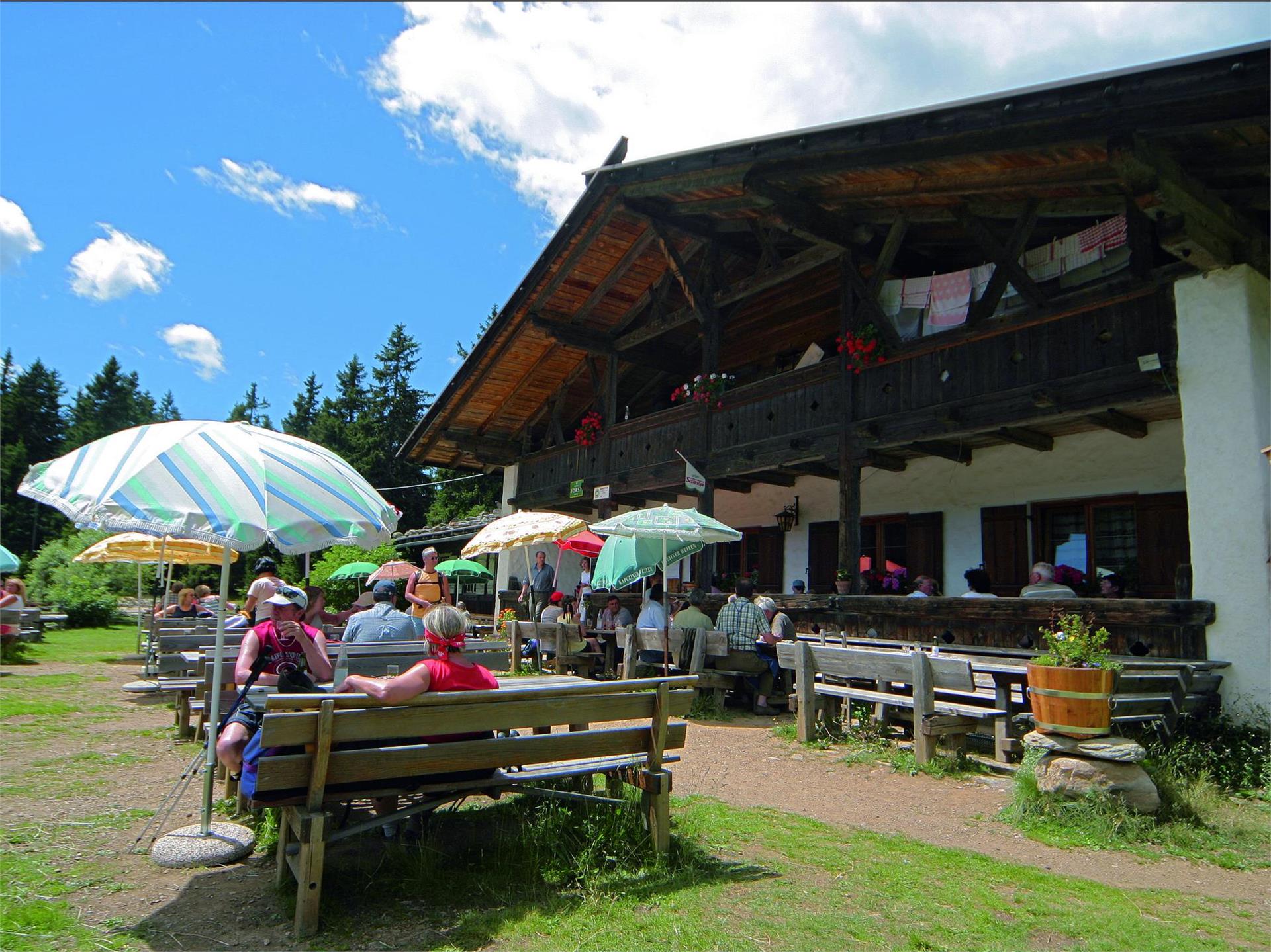


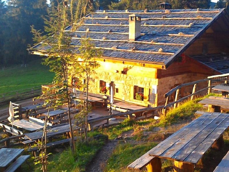


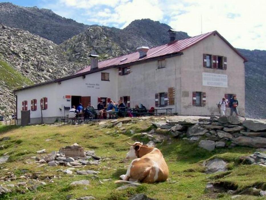
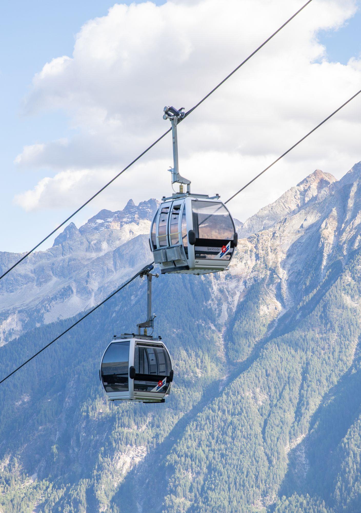

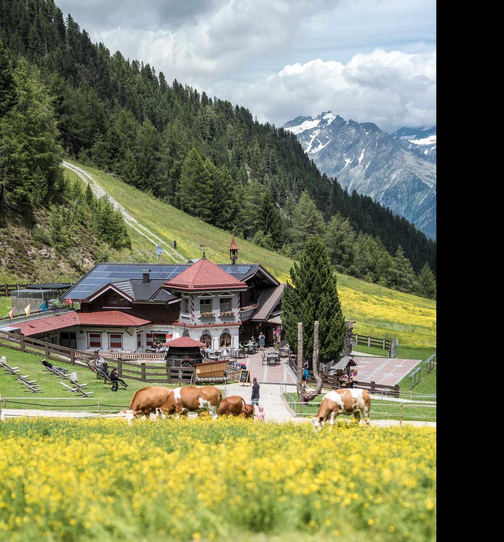
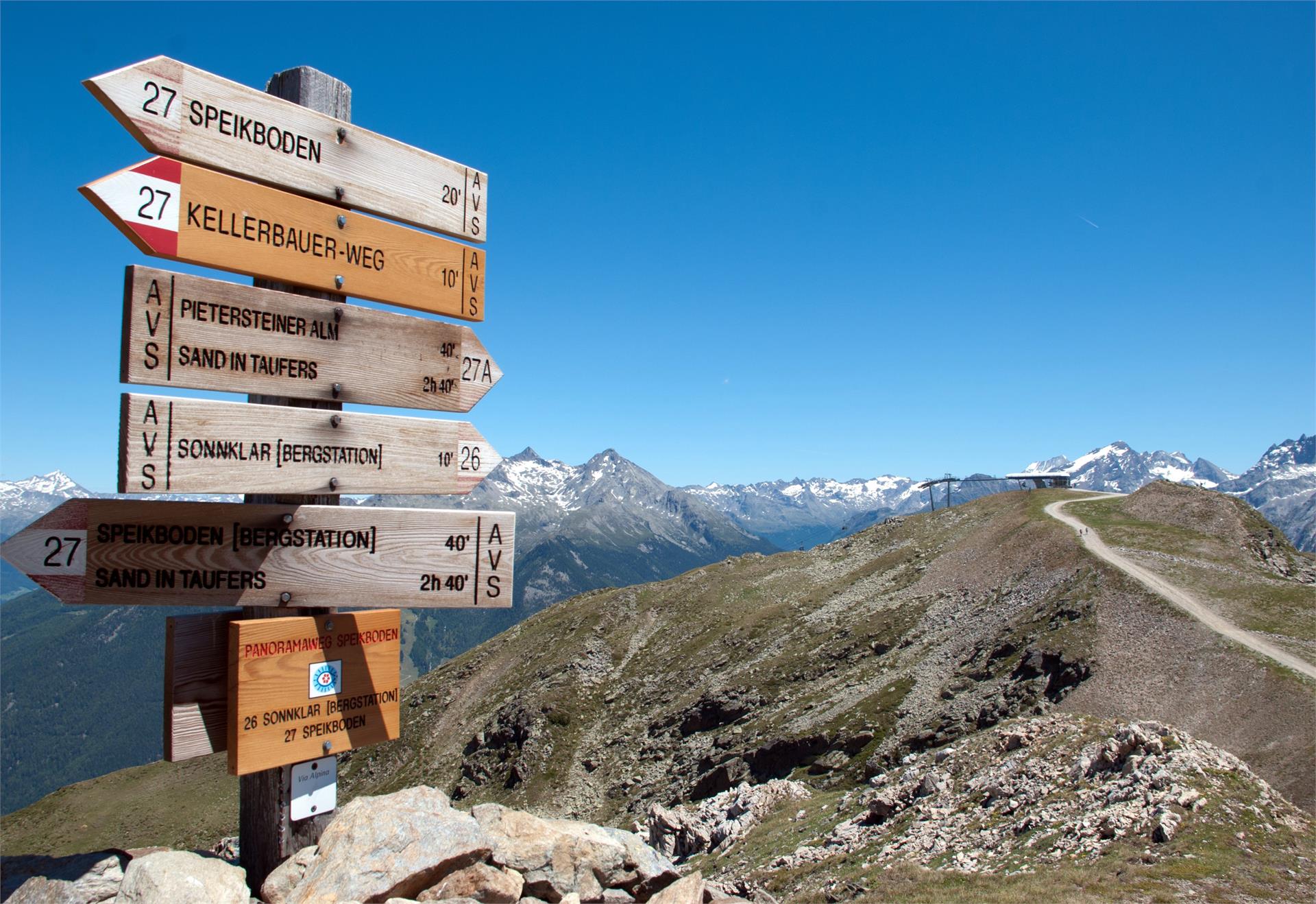
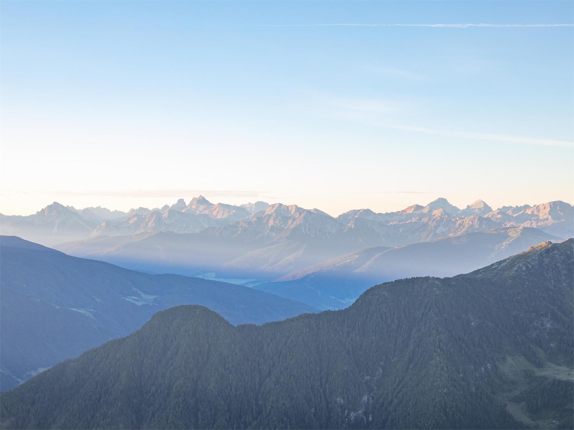

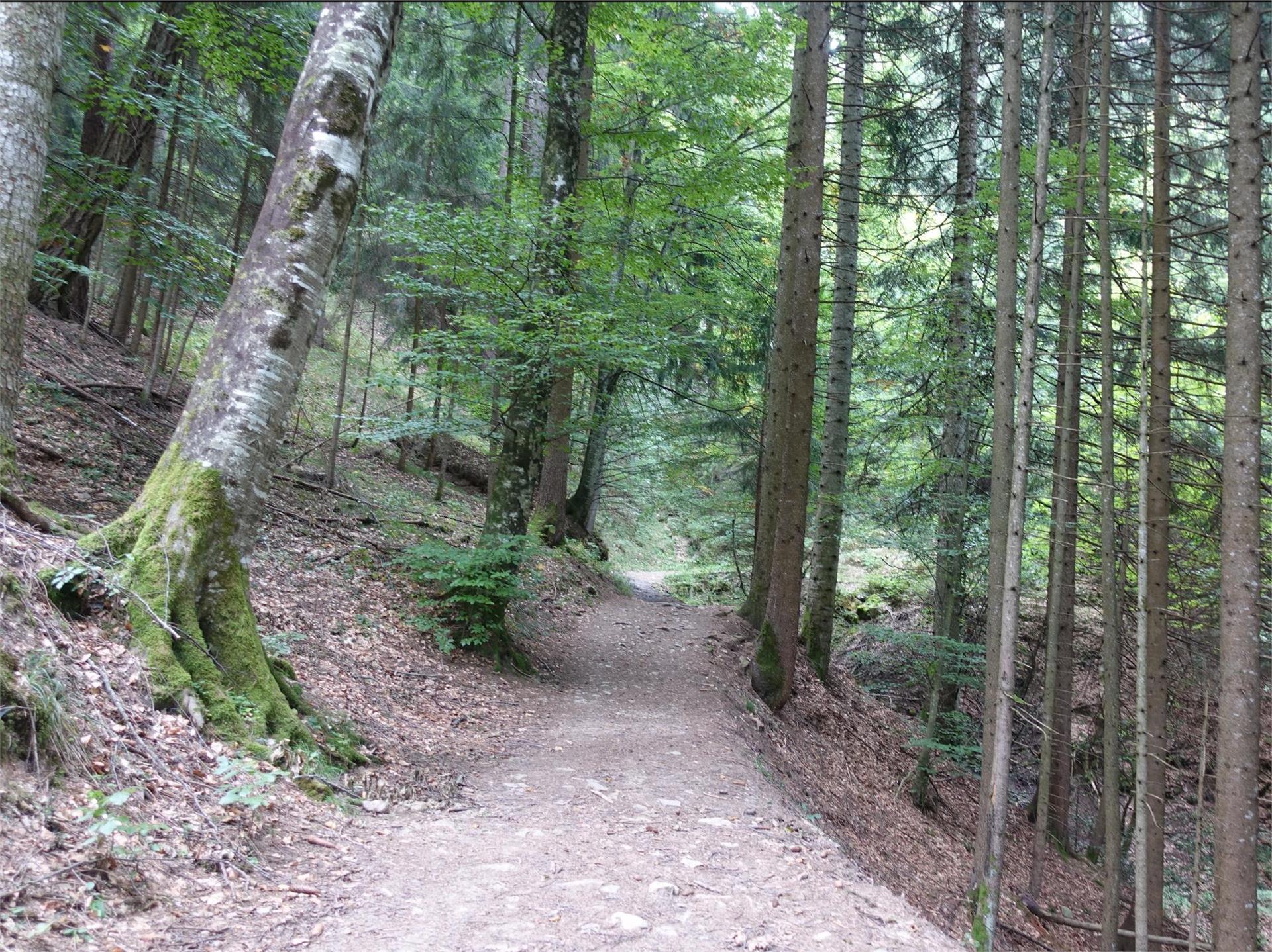
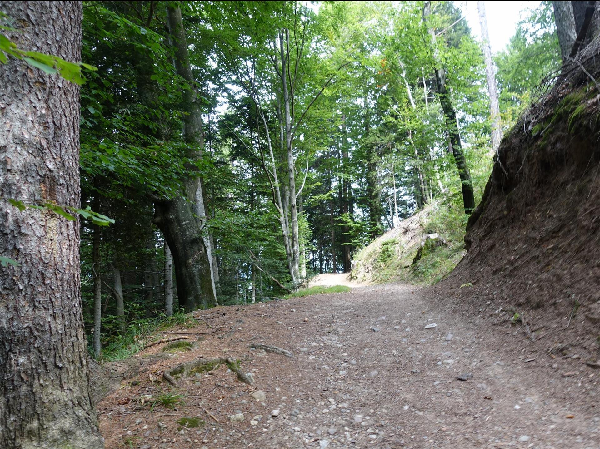


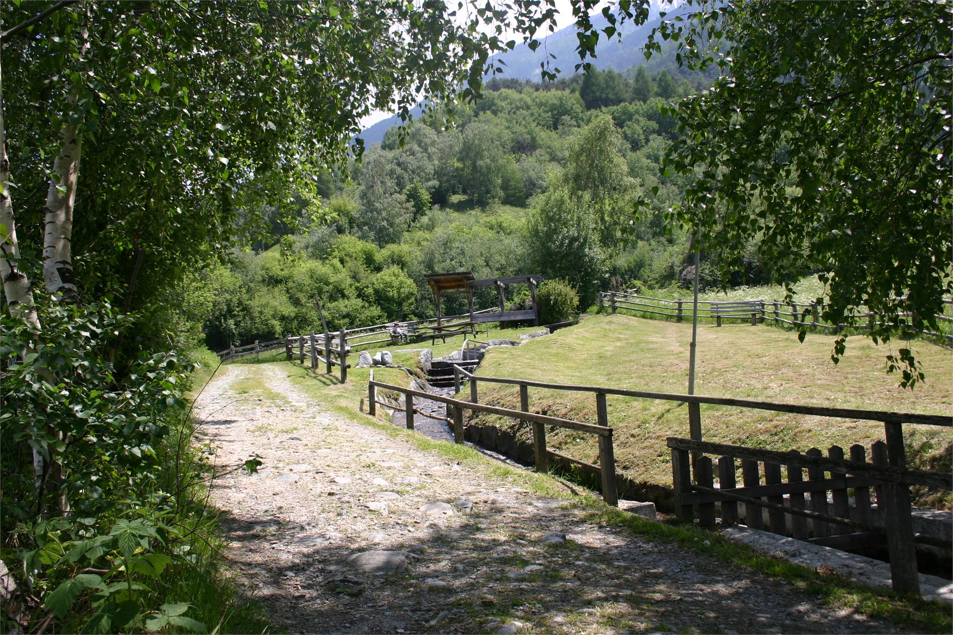
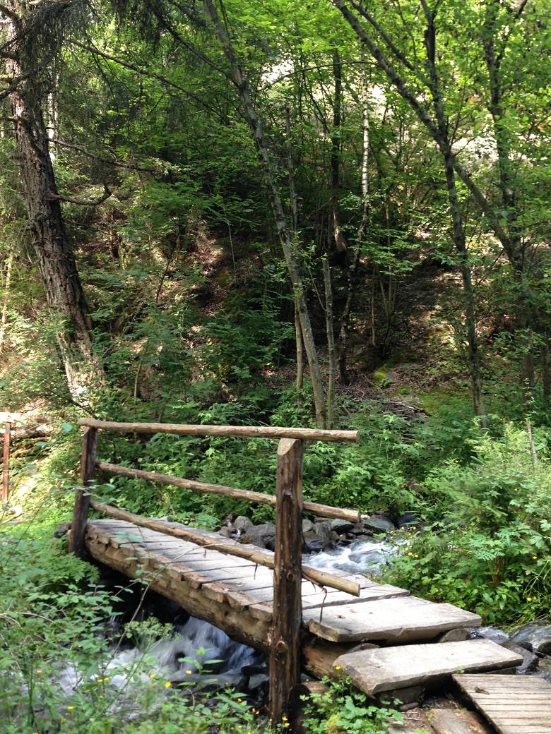
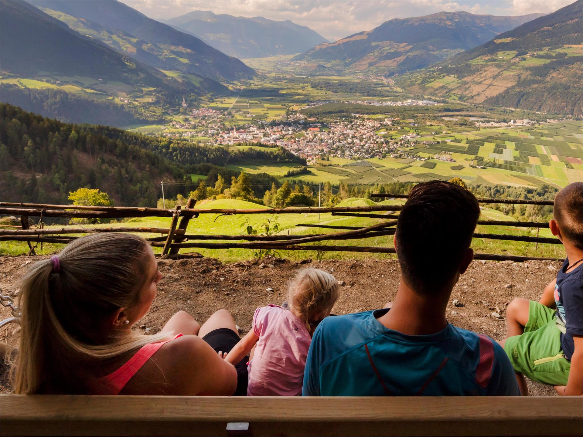
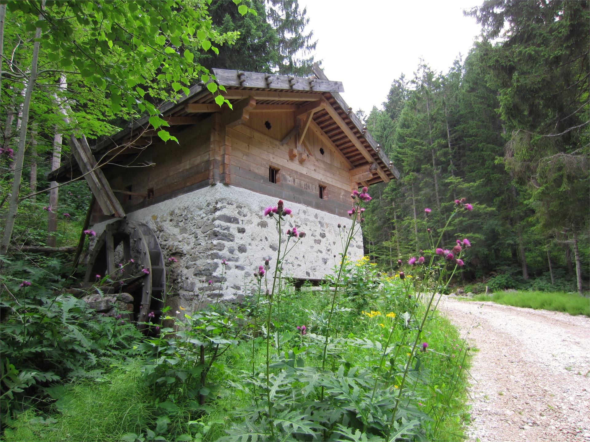
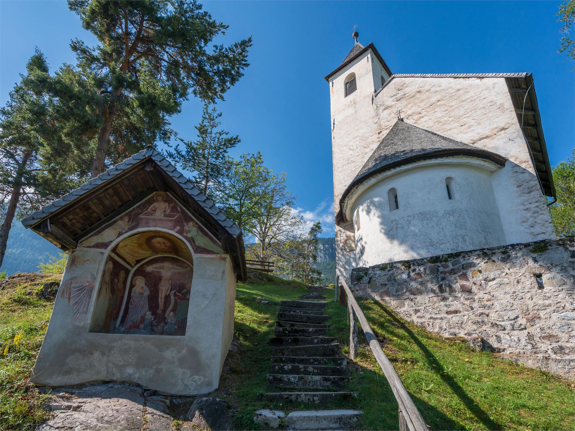
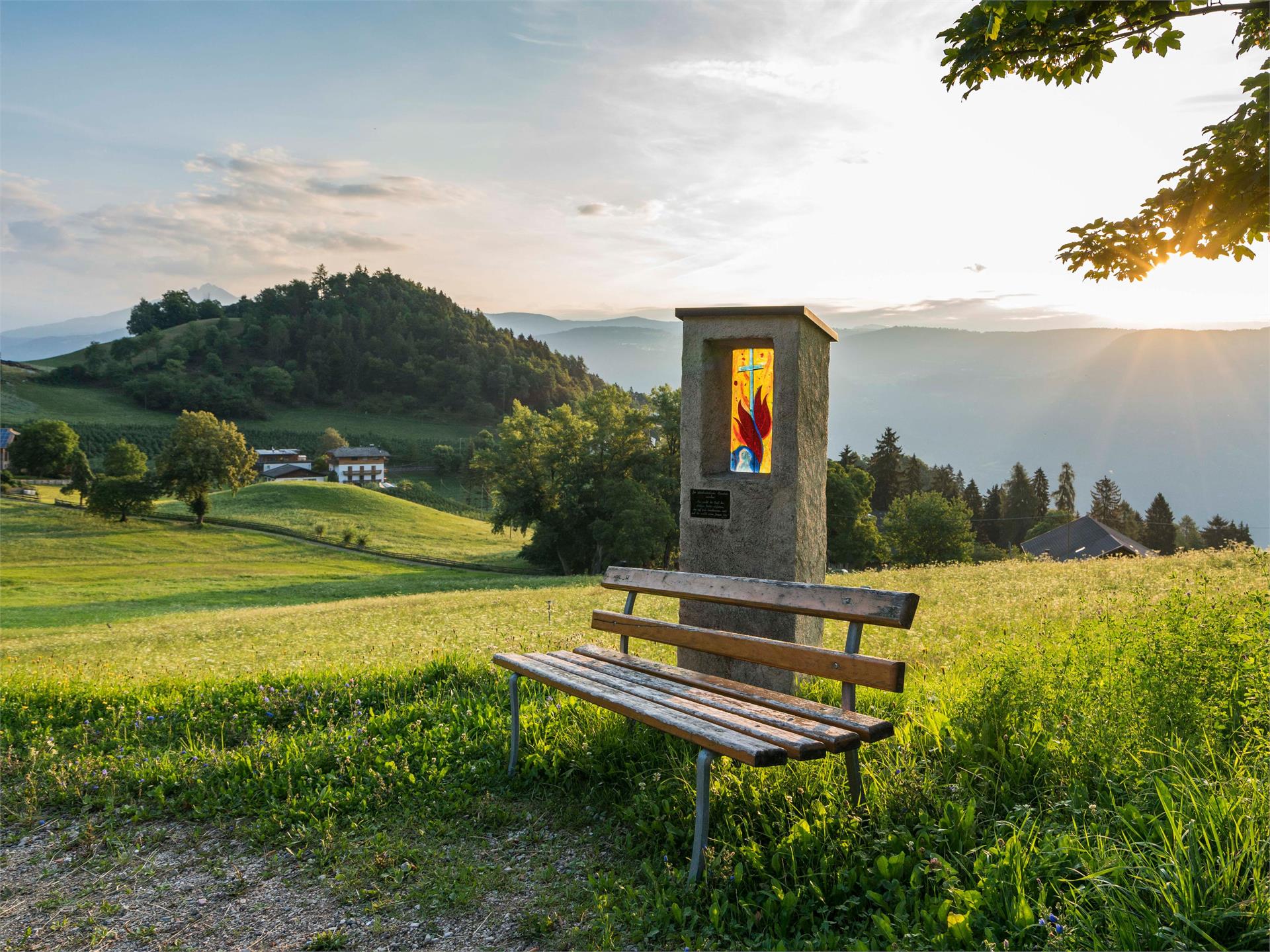
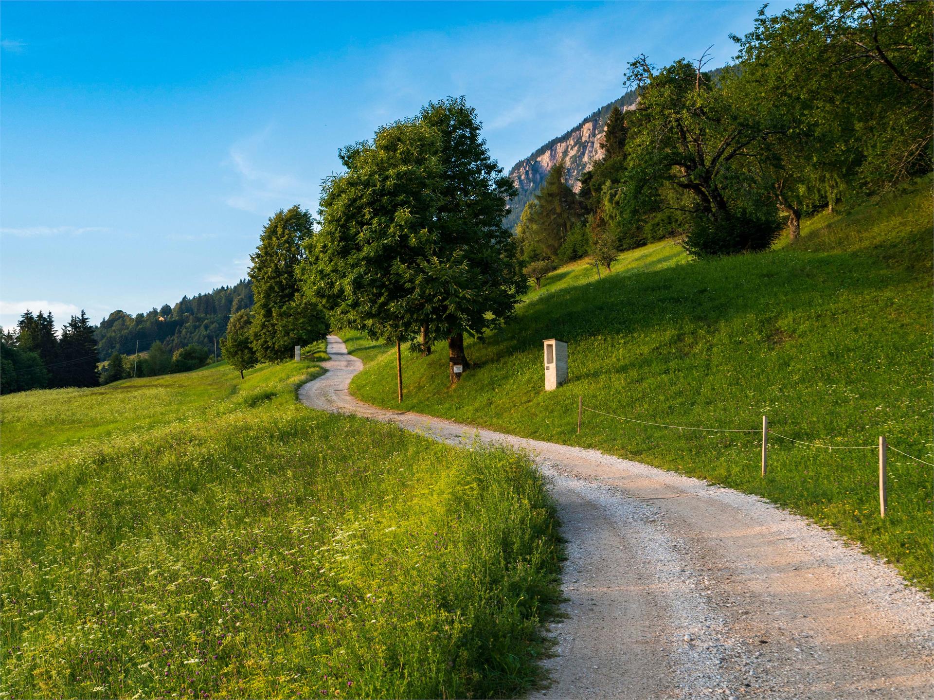


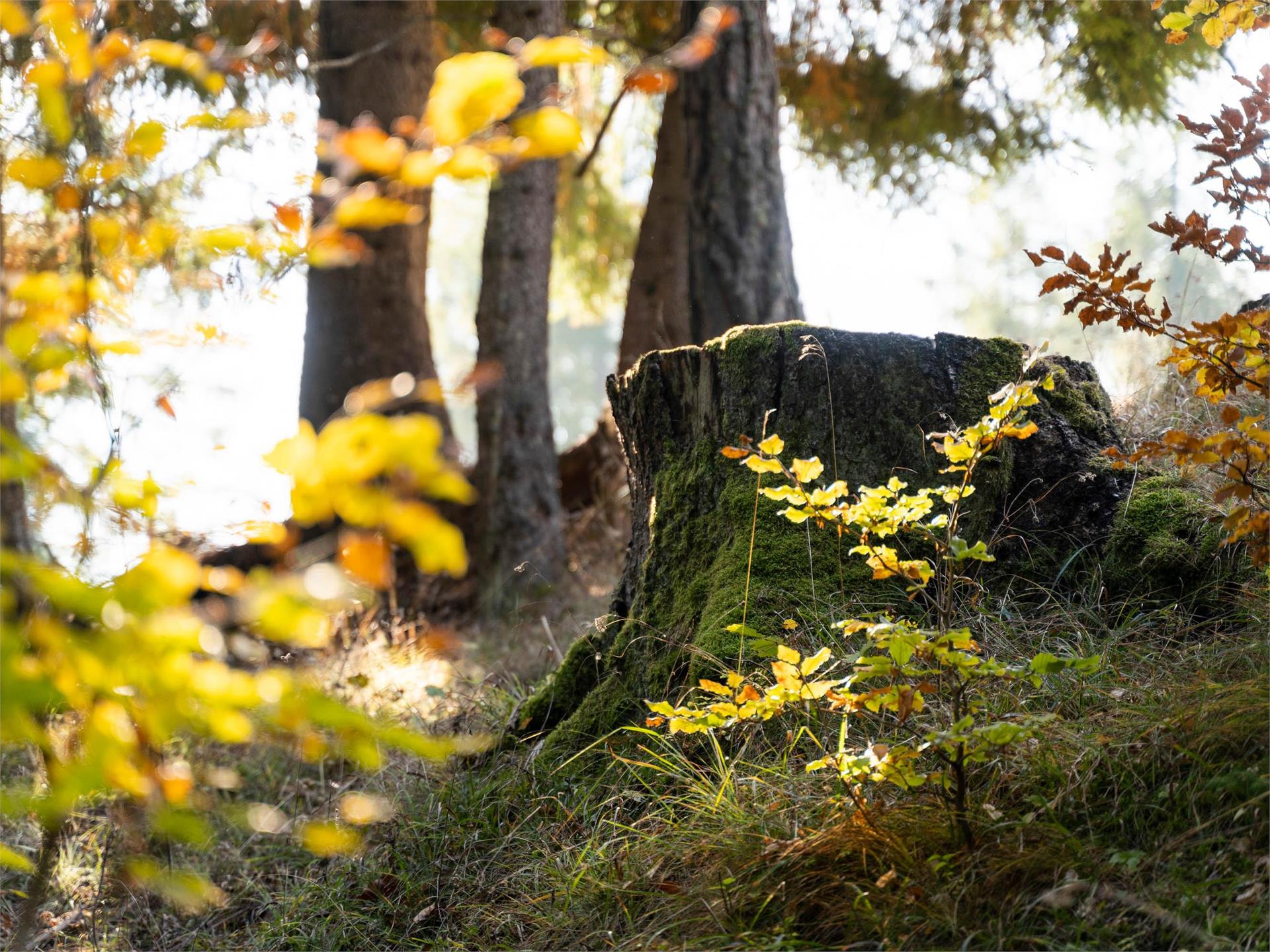
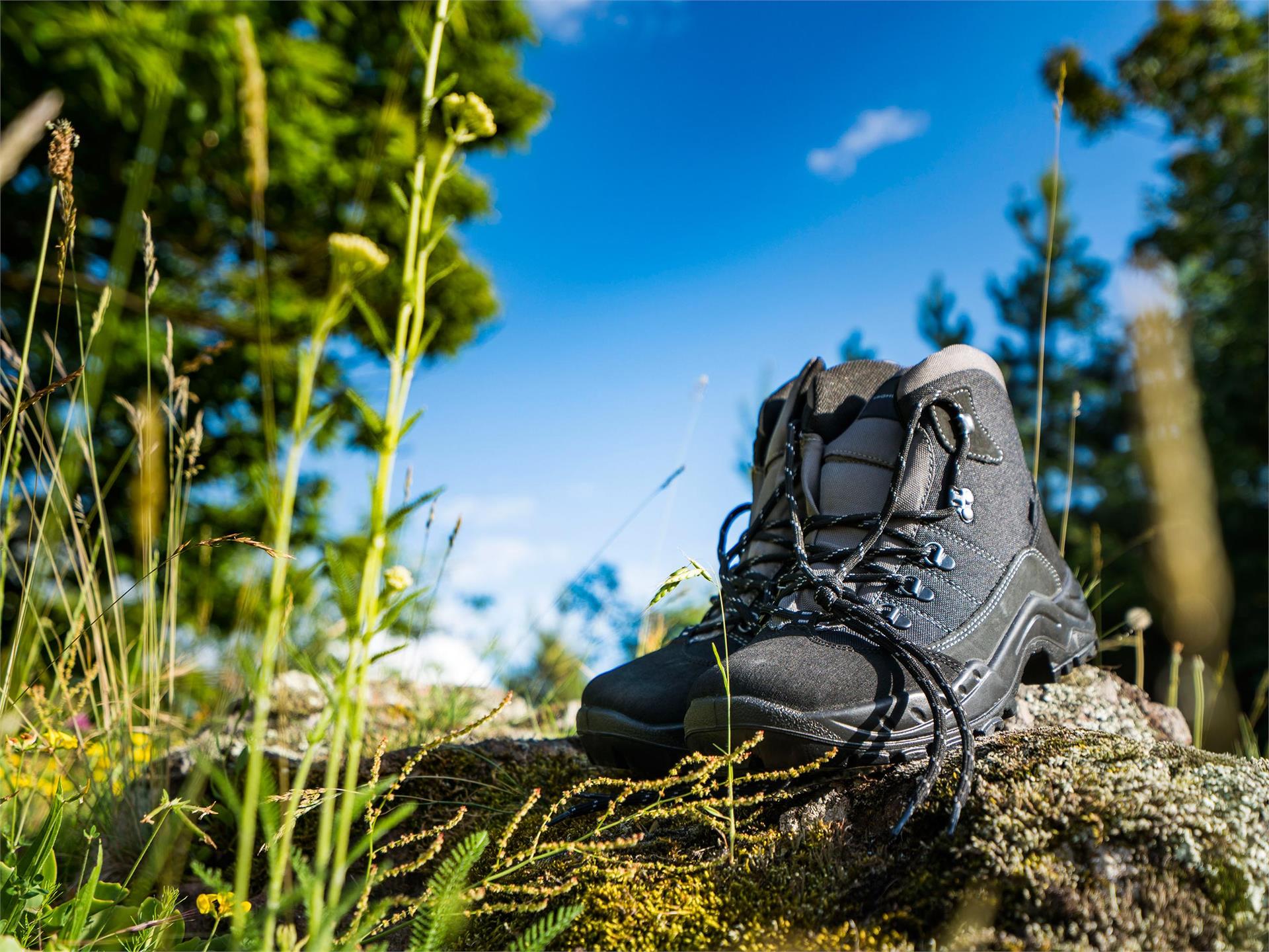


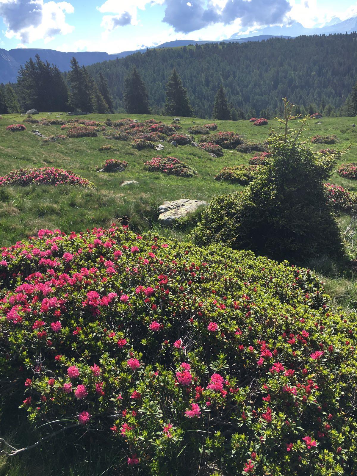
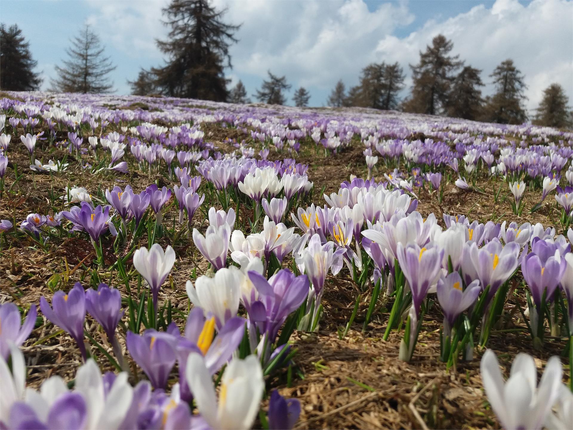
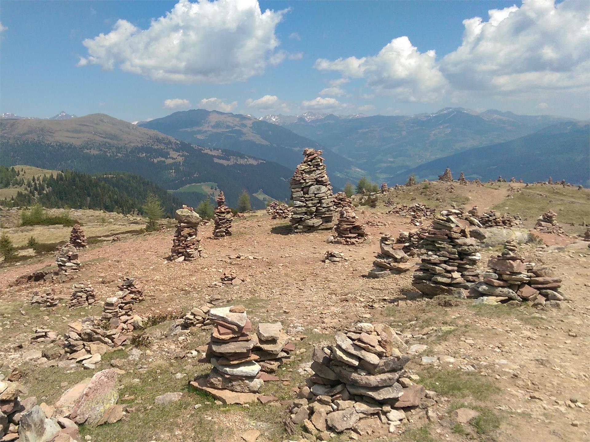

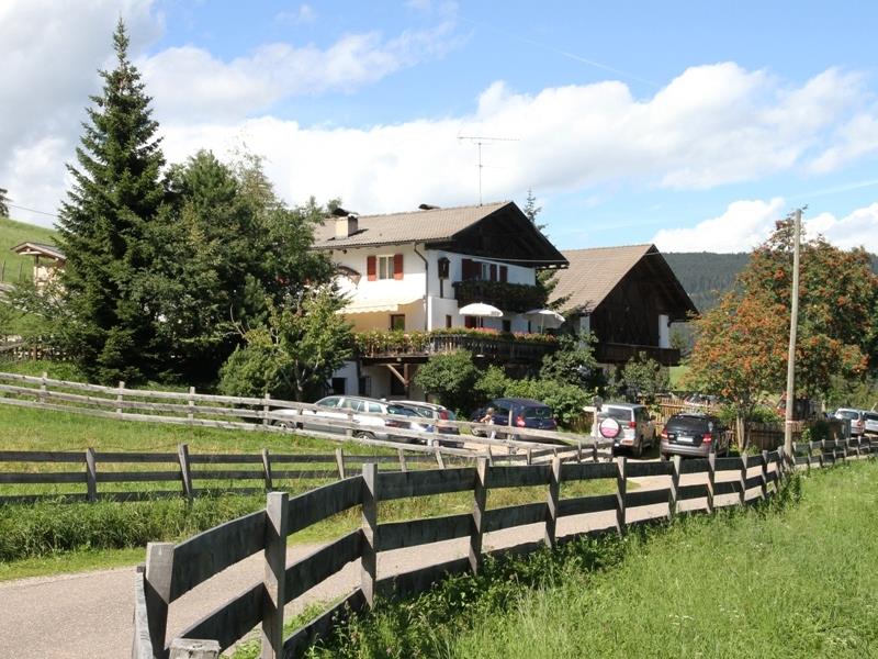
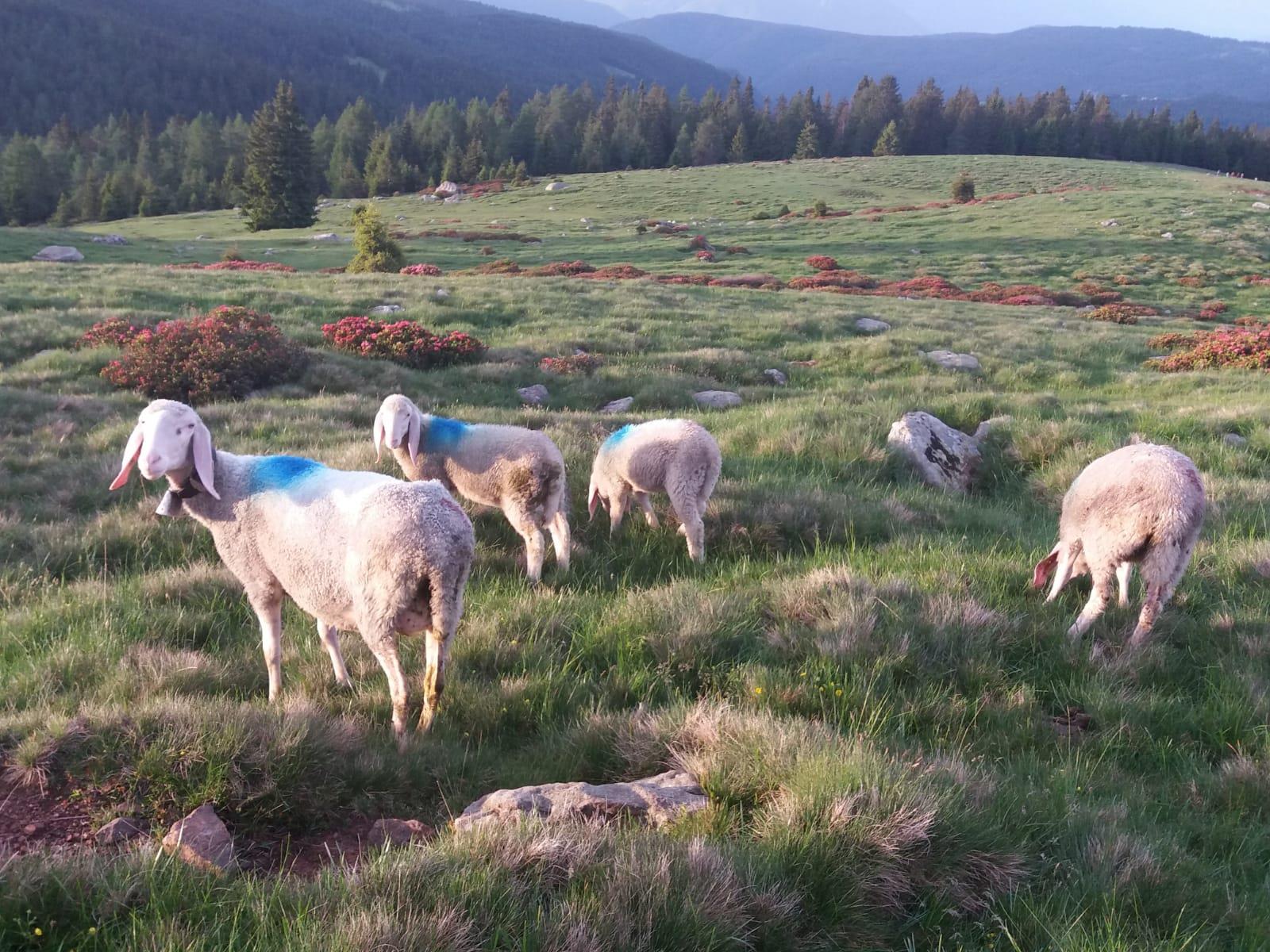
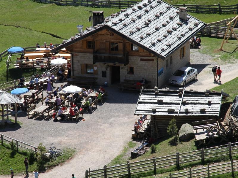
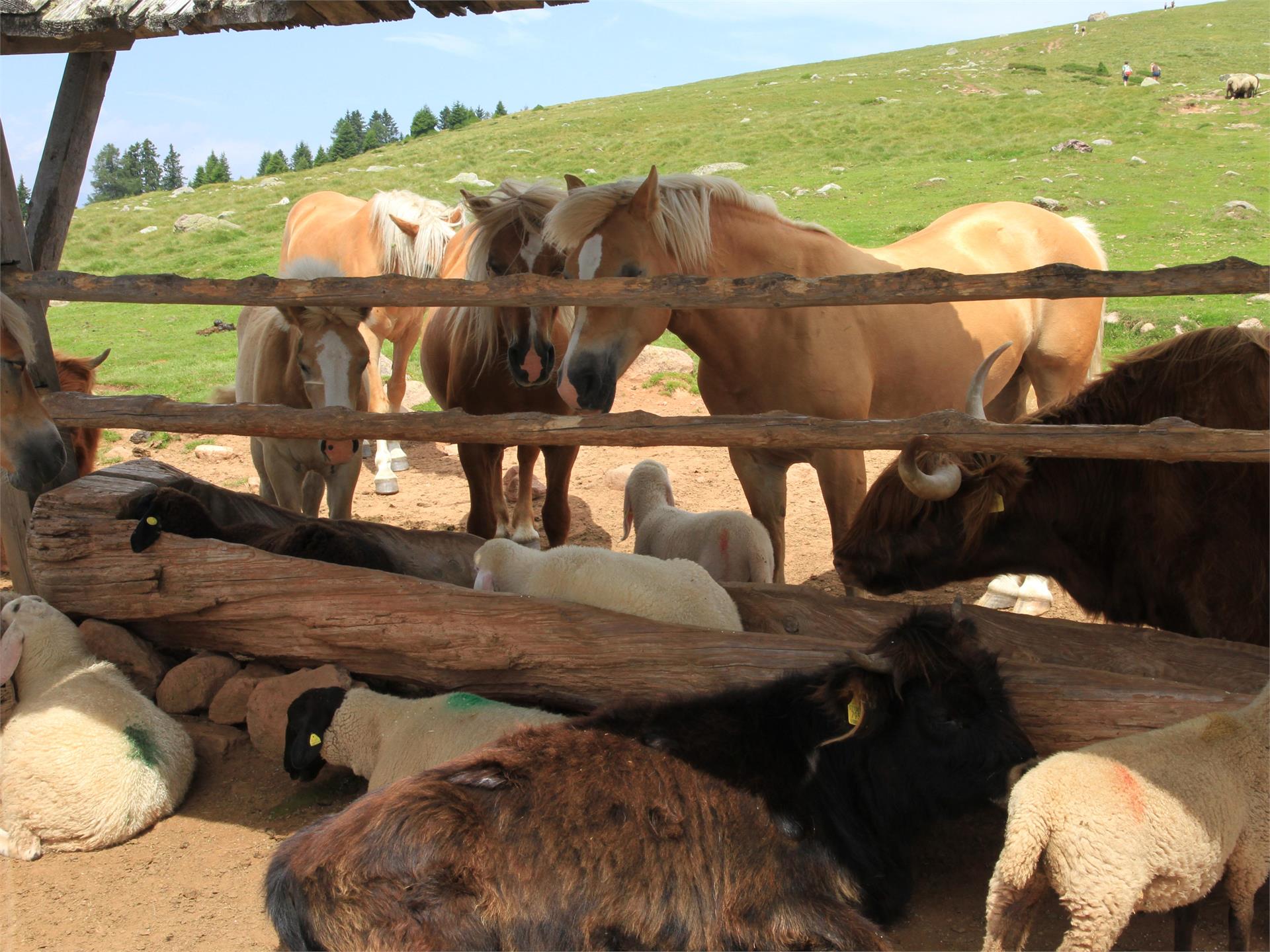
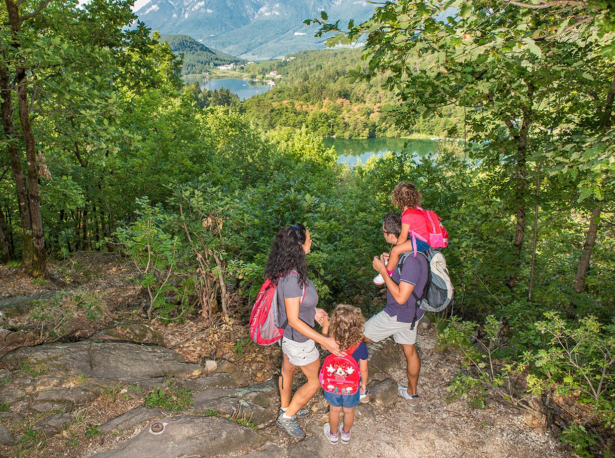
Über 16.000 Kilometer markierte, naturbelassene Wanderwege führen durch Südtirols kontrastreiche Landschaft, darunter Themenwege, Mehrtagestouren und Hochalpinsteige. Mit Seilbahnen überwindest du die ersten Höhenmeter und kannst dann direkt deine Panoramawanderung starten – etwa auf Meran 2000, auf der Plose oder am Kronplatz. Durch Südtirol führen außerdem der Europäische Fernwanderweg E5, der Jakobsweg und der Europahöhenweg 2. Zur Rast und Stärkung laden die zahlreichen Almenhütten. Von klein und urig bis elegant und innovativ mit gehobener Küche und großer Weinkarte. Schutz vor Wind und Wetter bieten spektakulär gelegene Schutzhütten. Kletterprofis und Anfänger gehen auf 50 Klettersteigen in den Schwierigkeitsgraden A bis F auf Tuchfühlung mit dem Felsen. Hier ist für jede Kondition das Passende dabei.
1 / 5
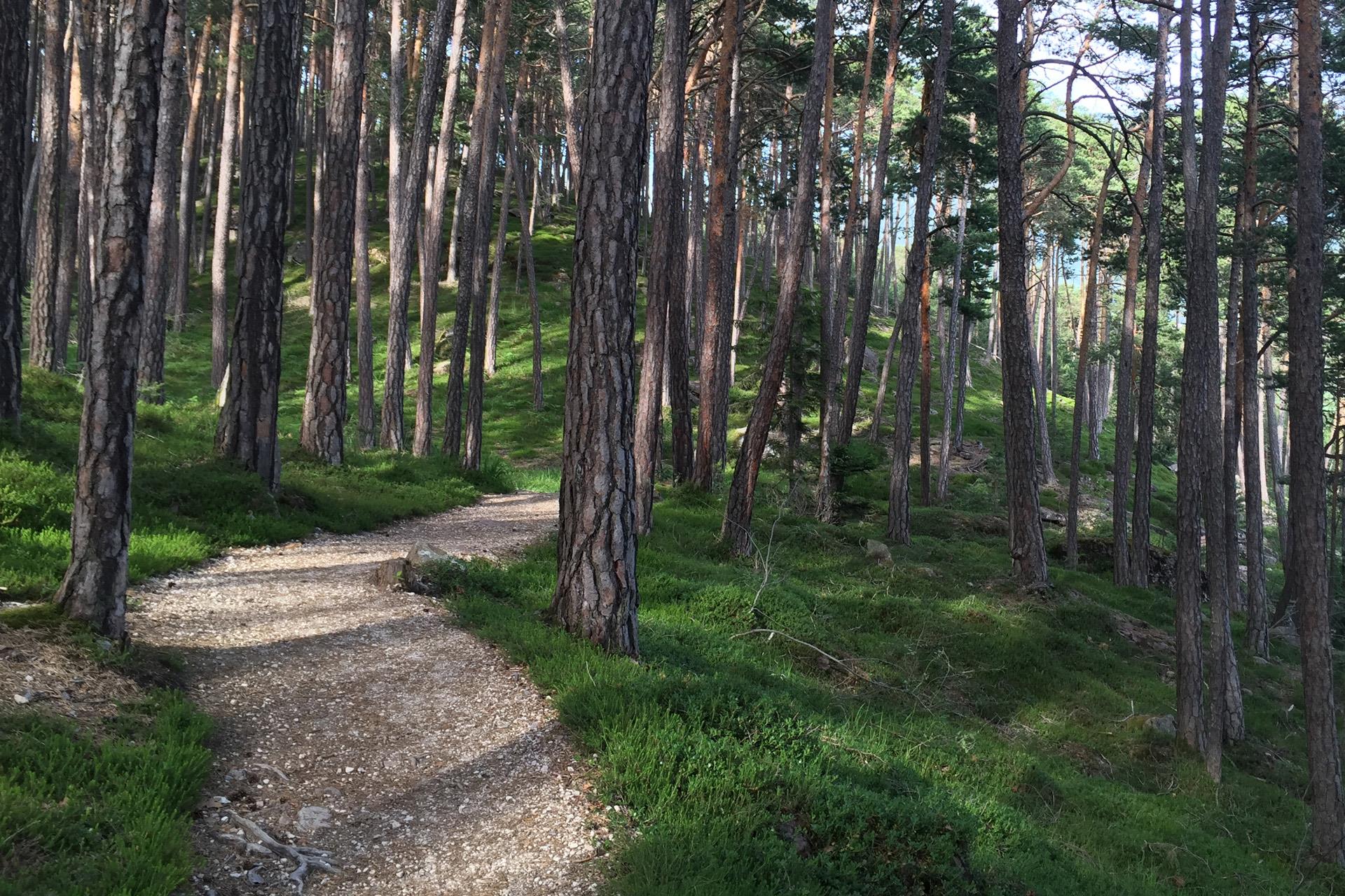
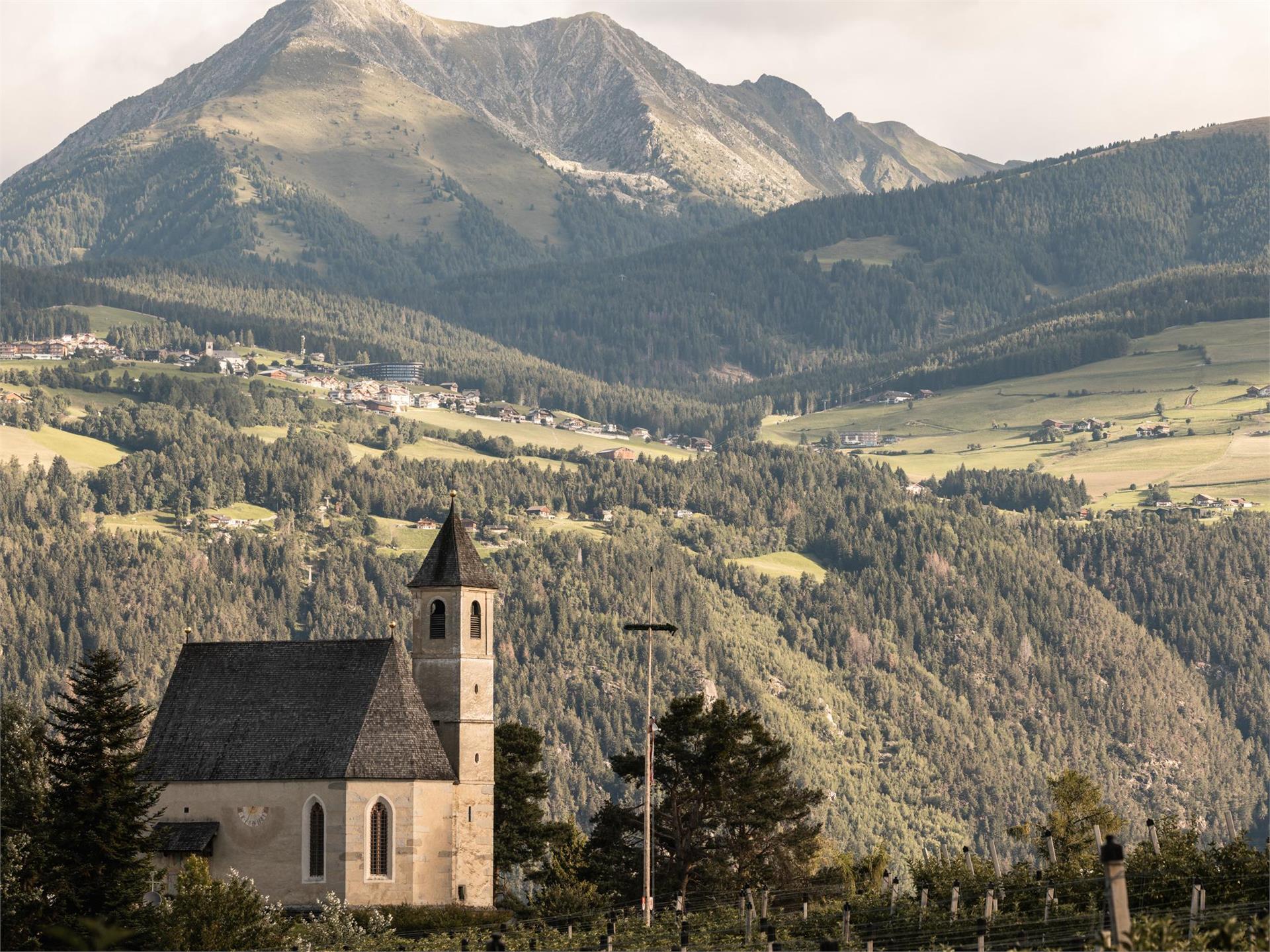
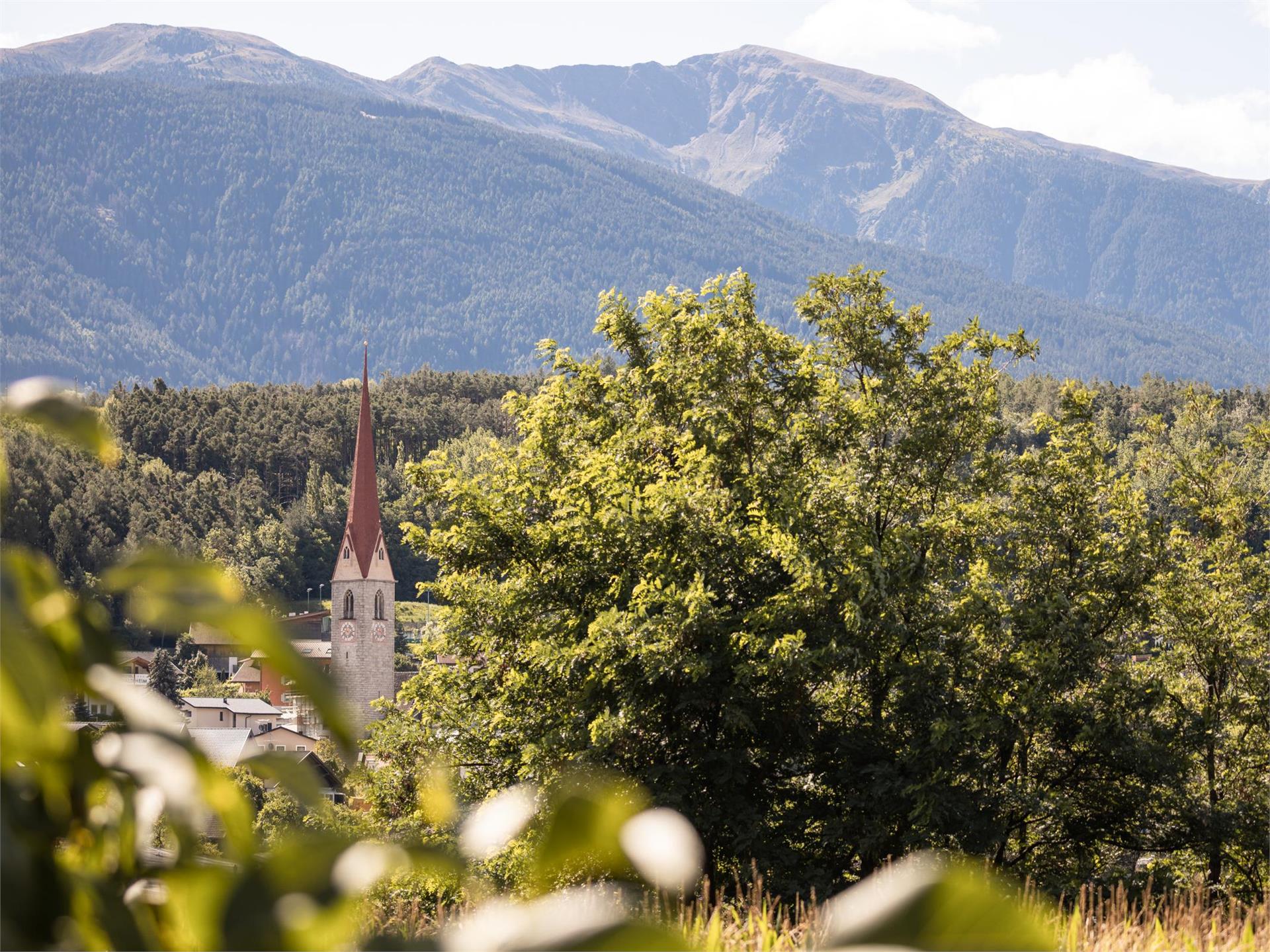
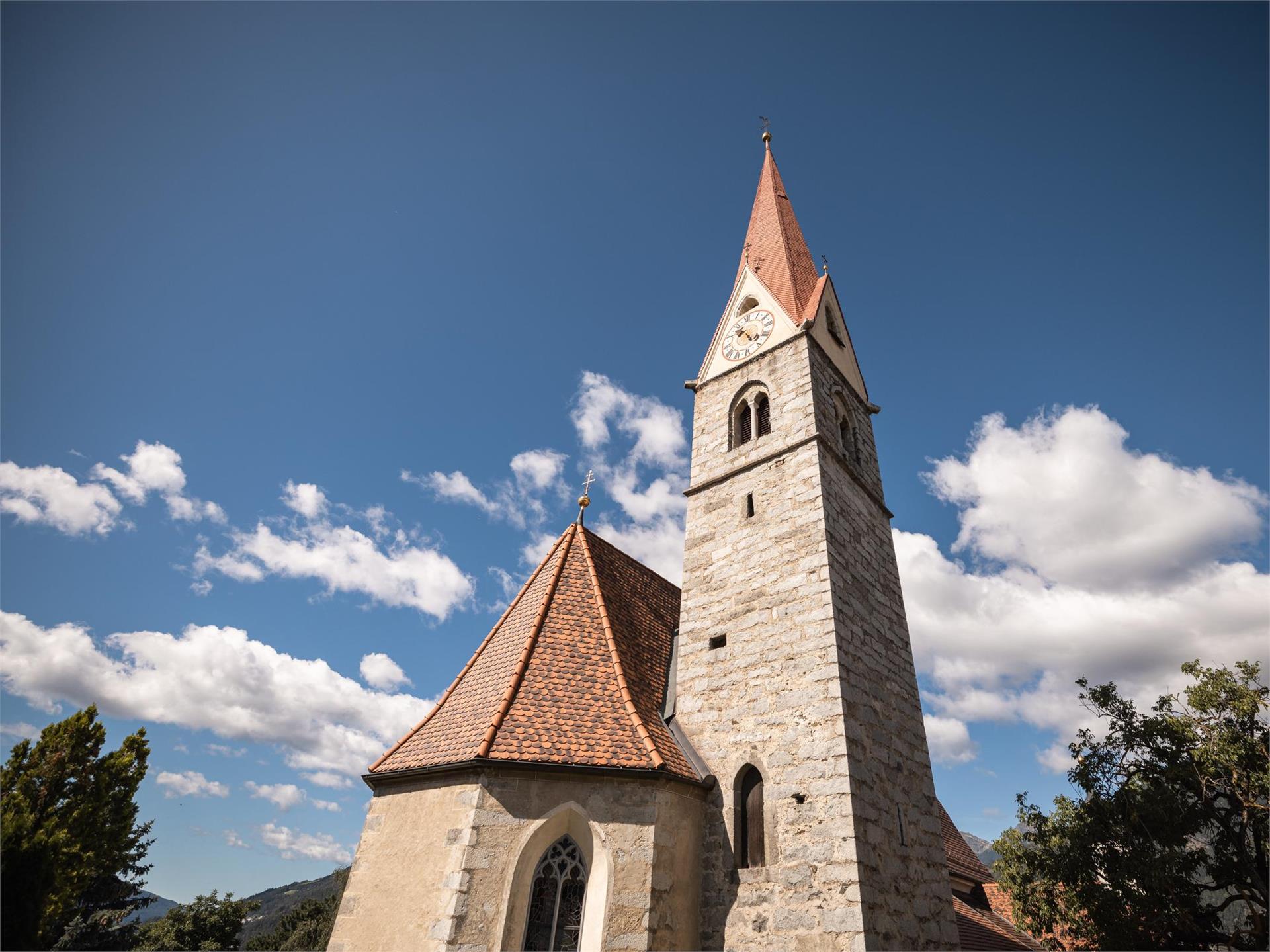
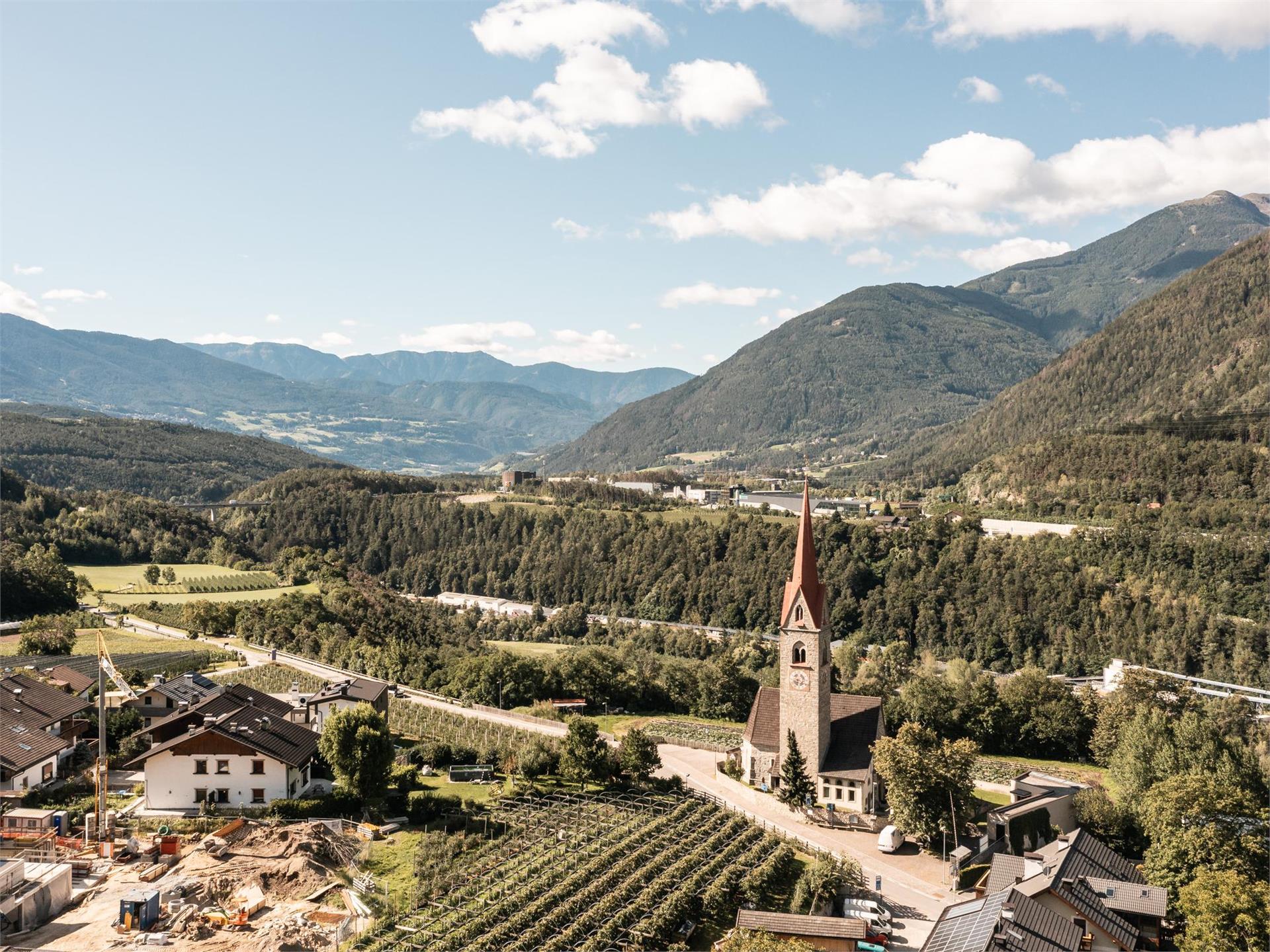
Hiking
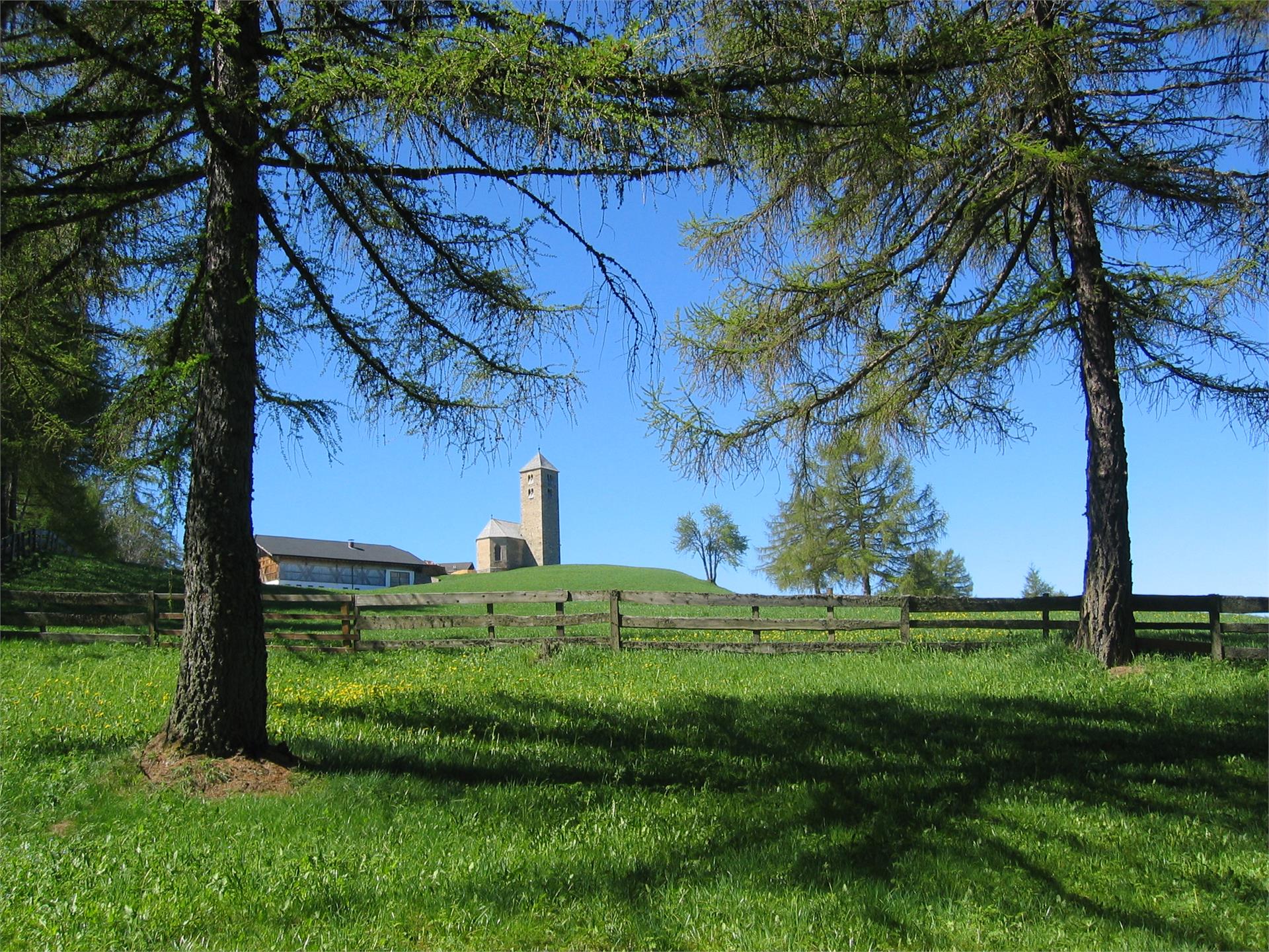
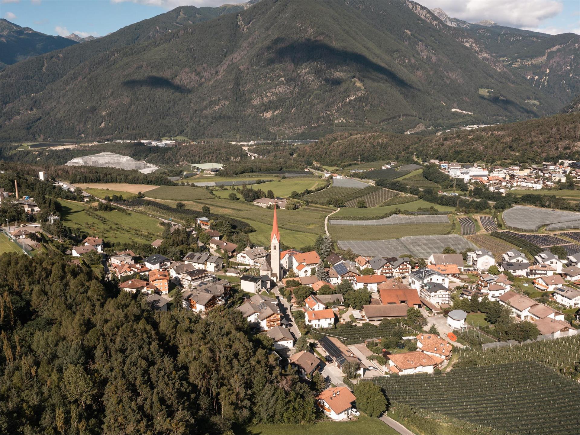
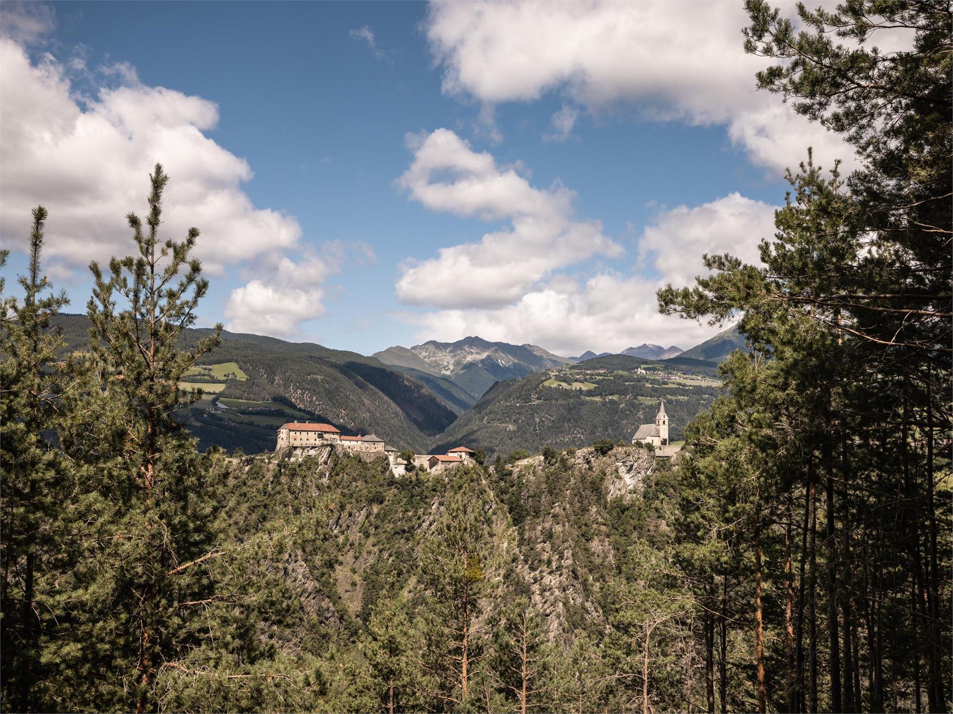
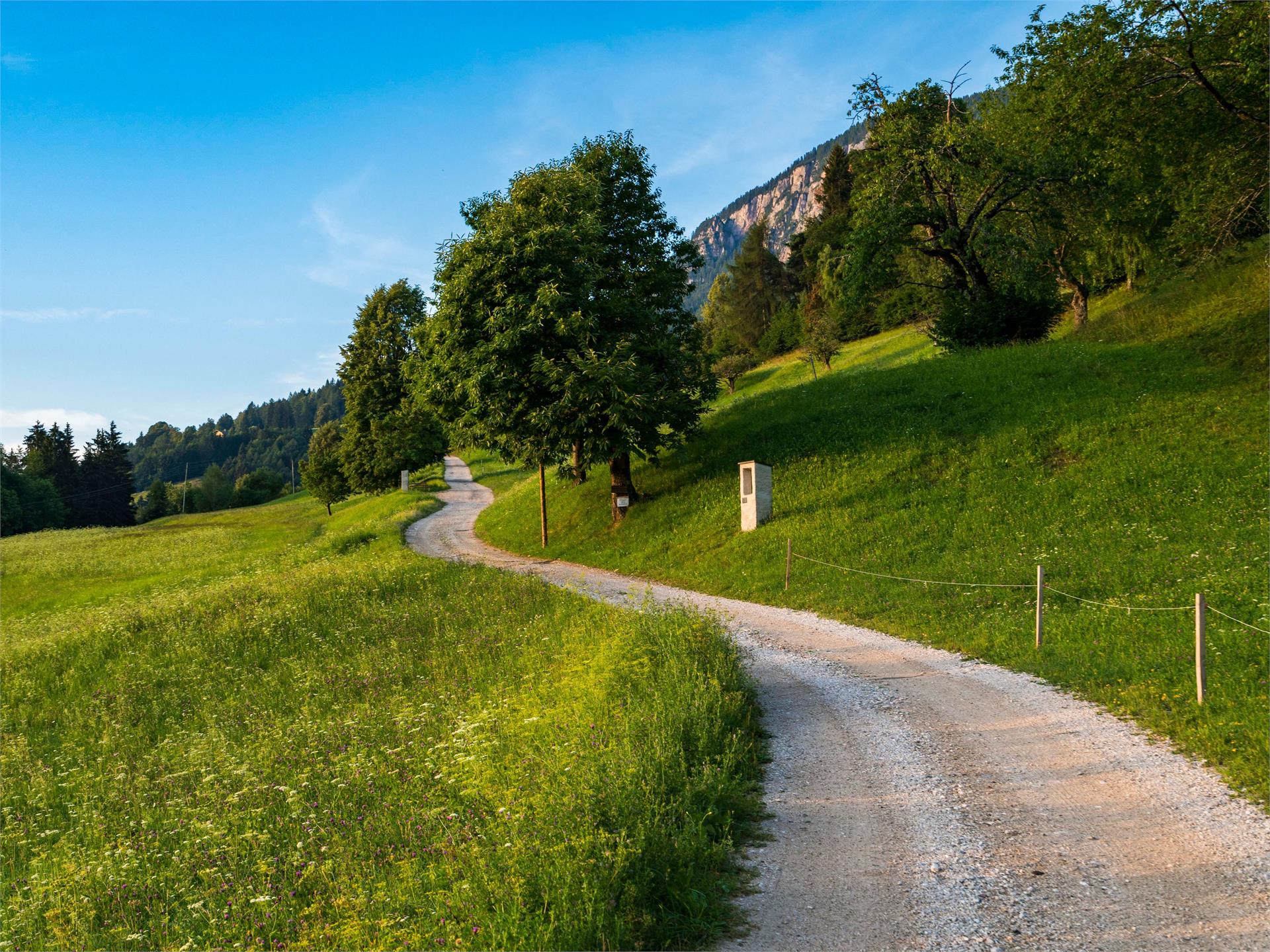
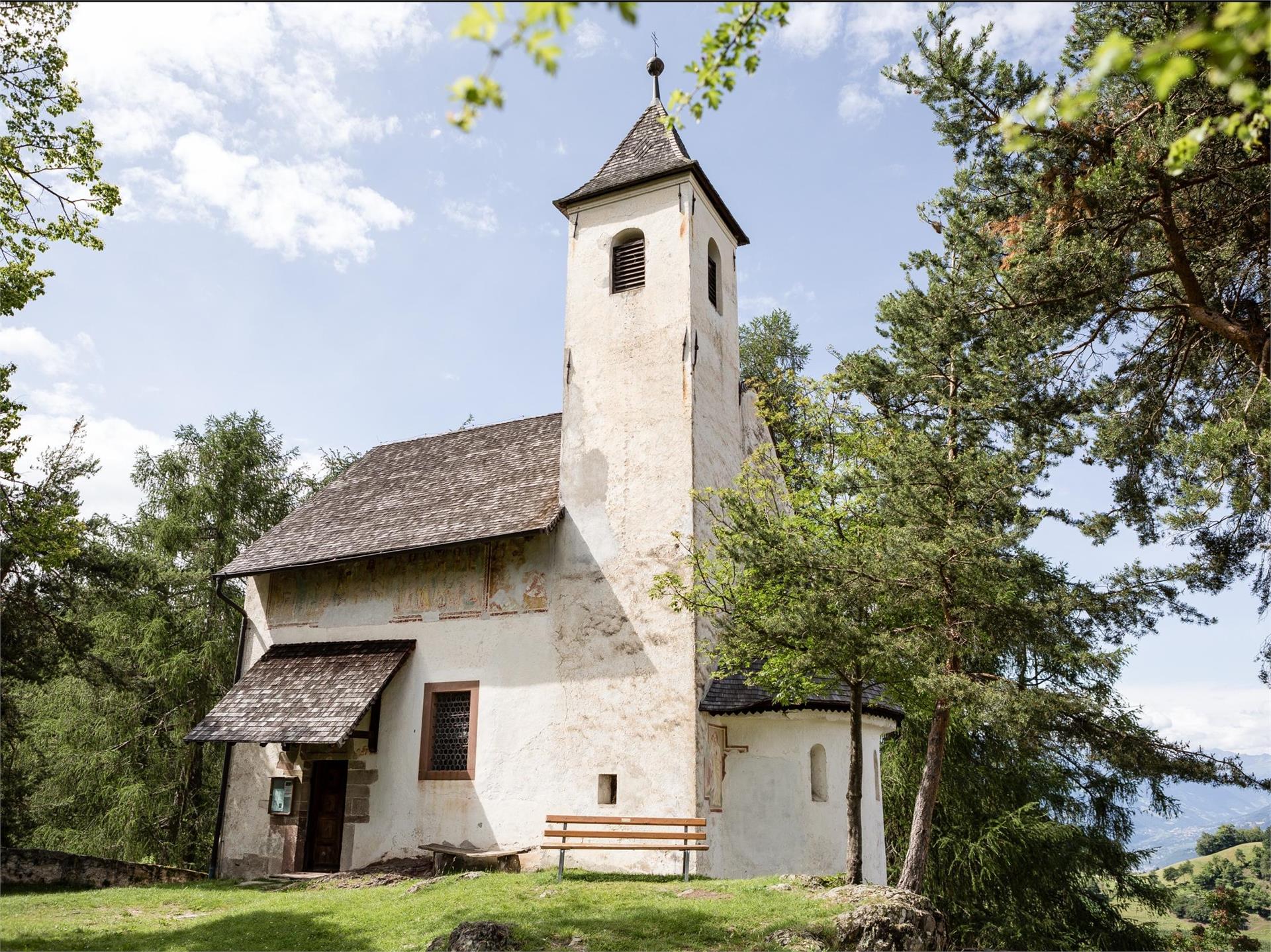
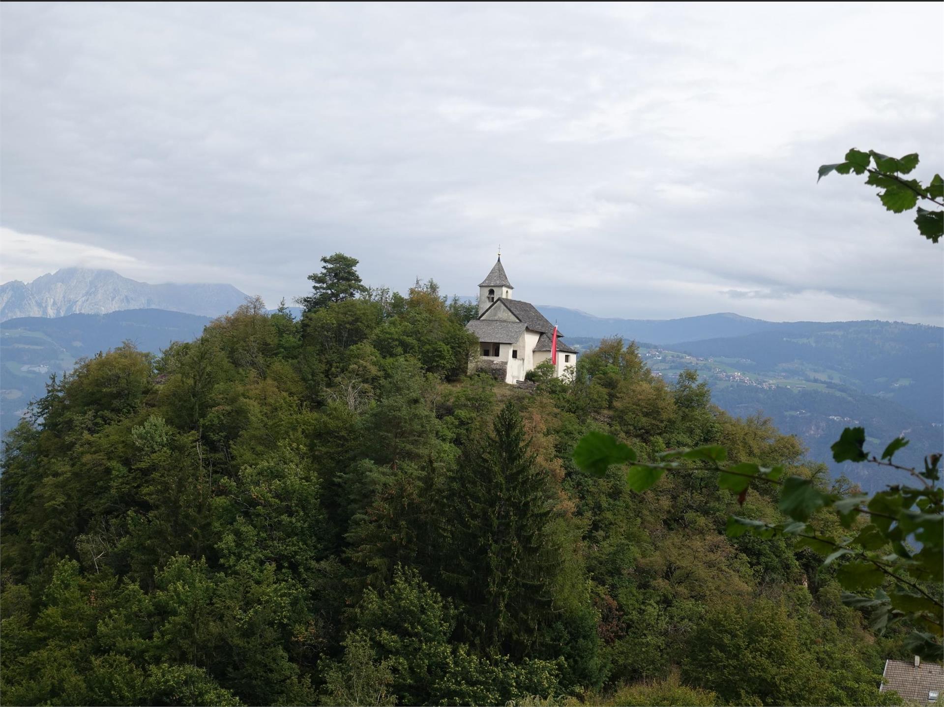
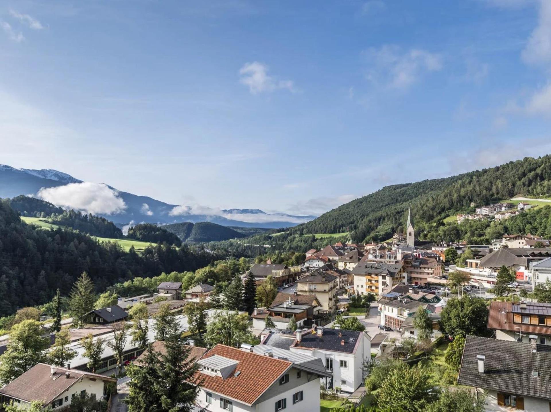
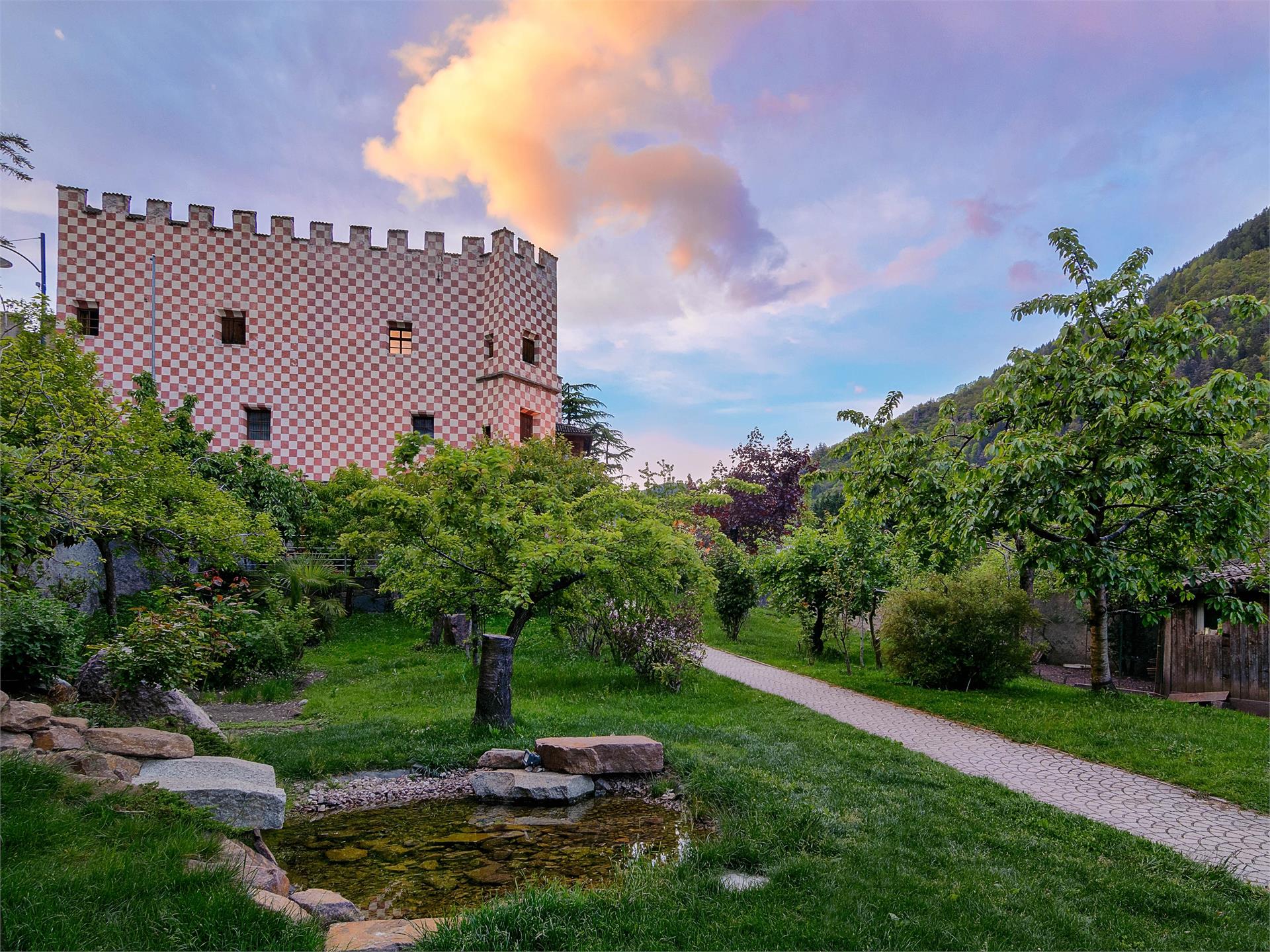
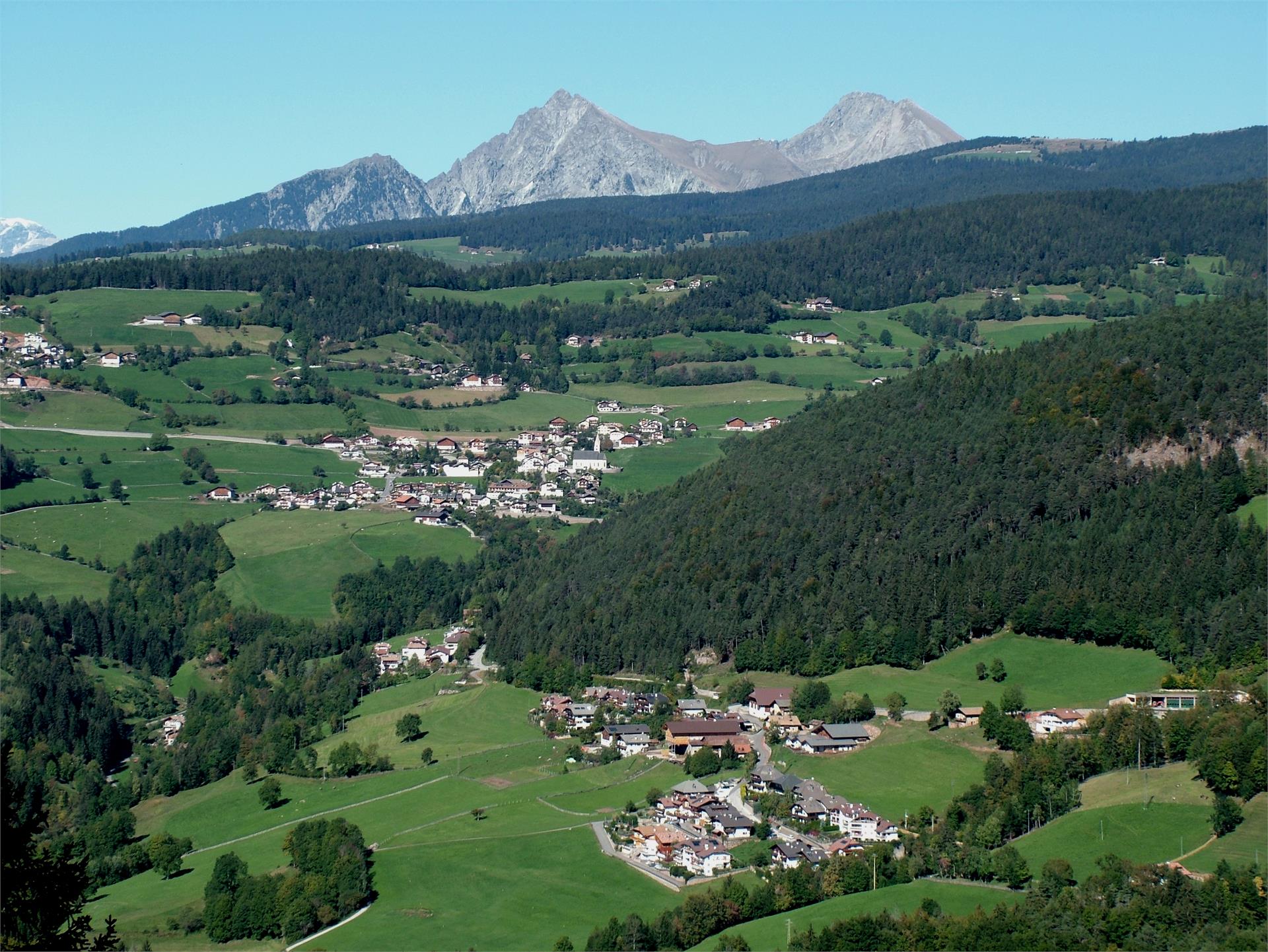
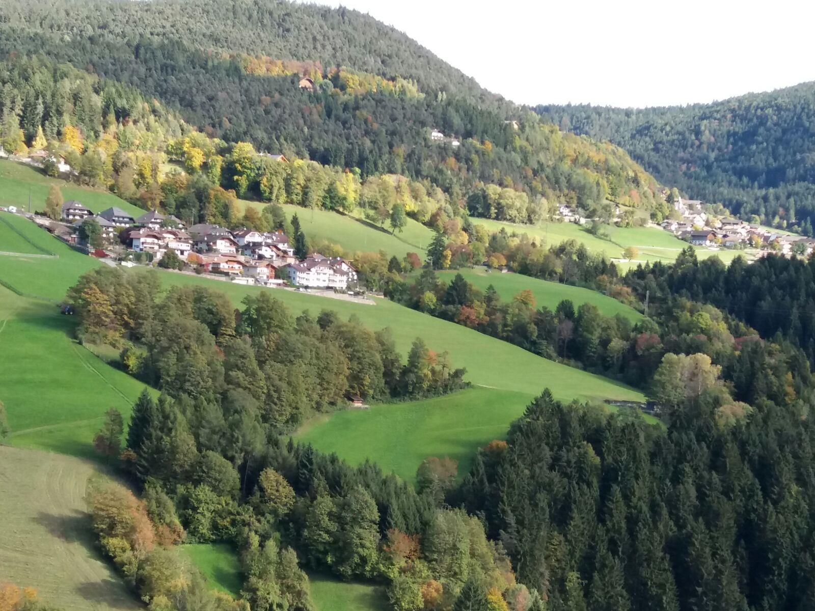
Jenesien/San Genesio Atesino, Bolzano/Bozen and environs
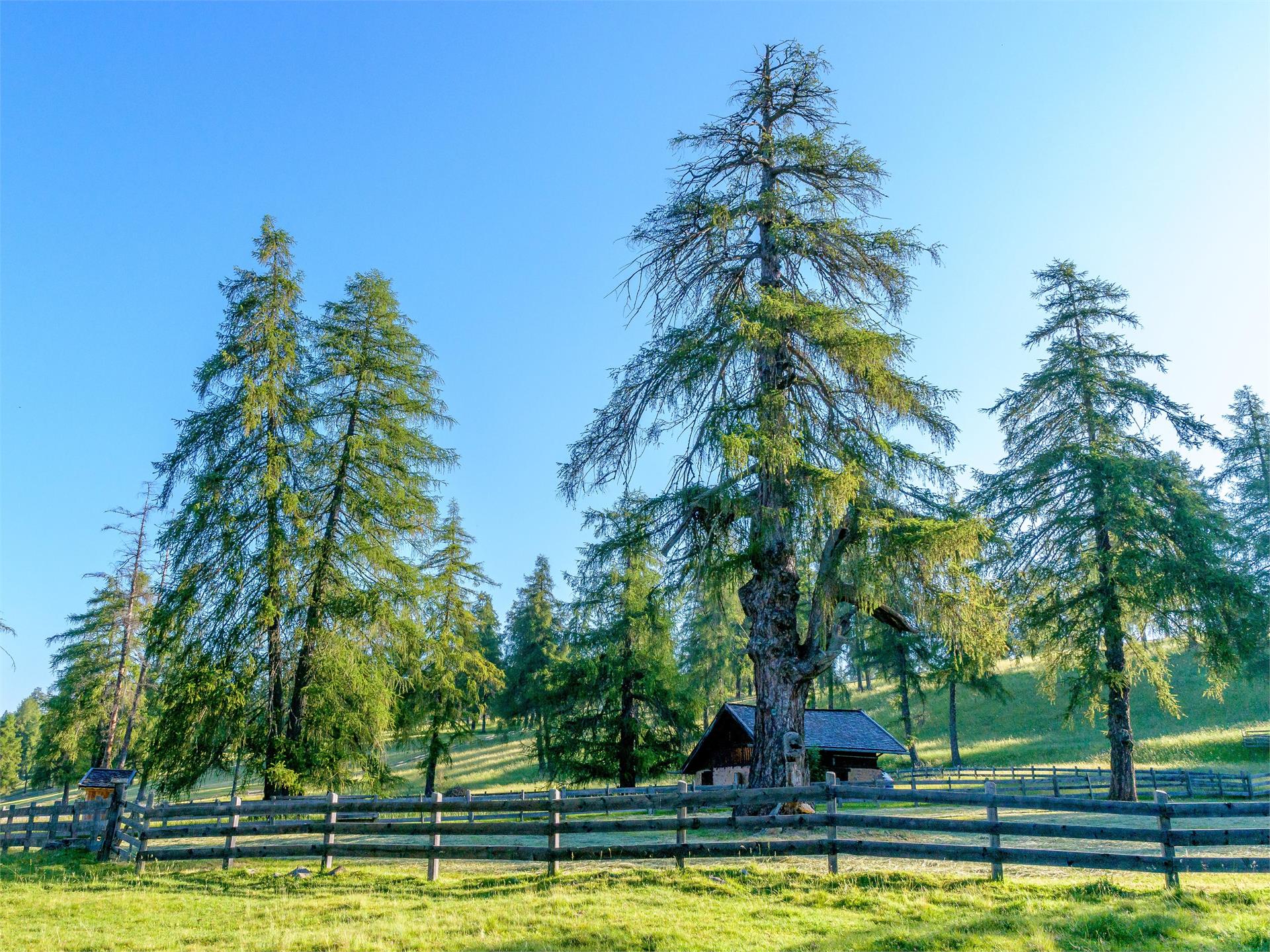
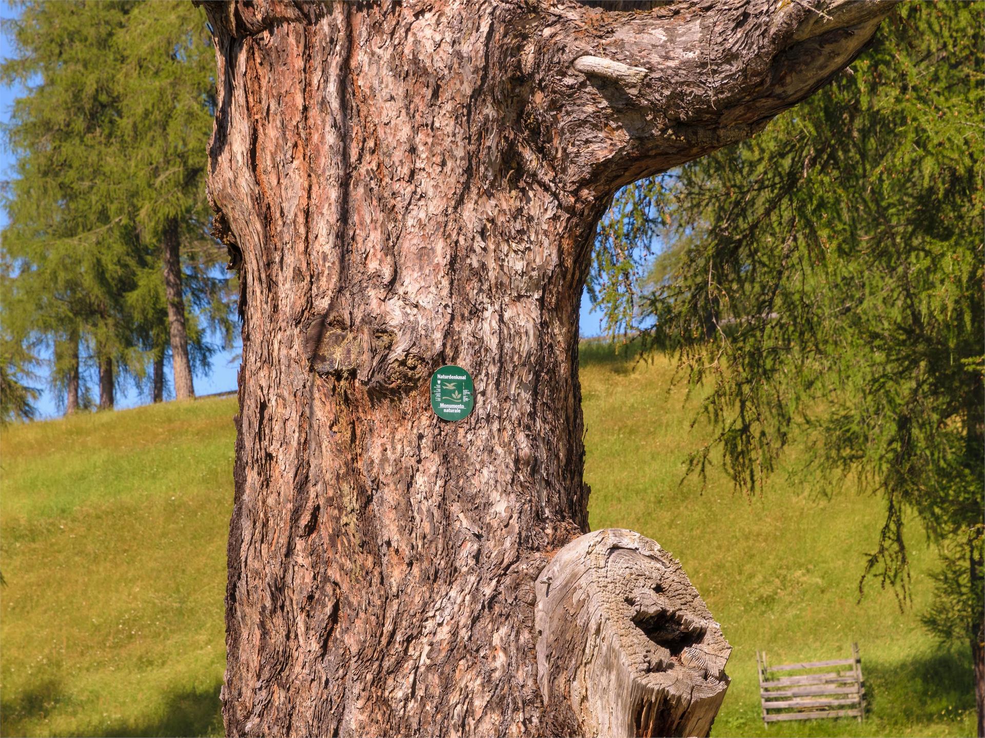
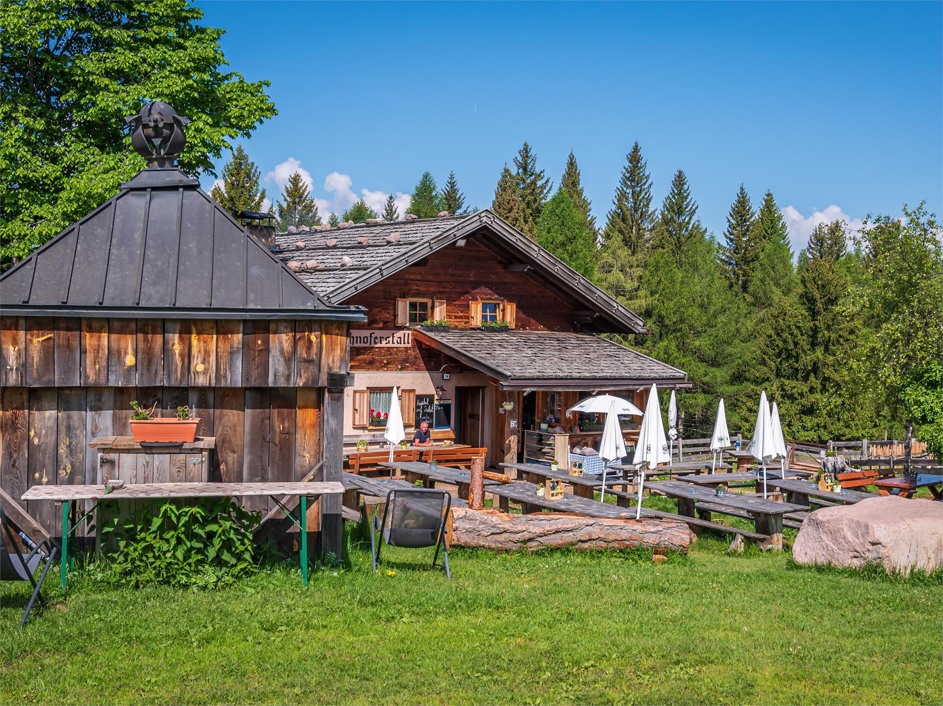
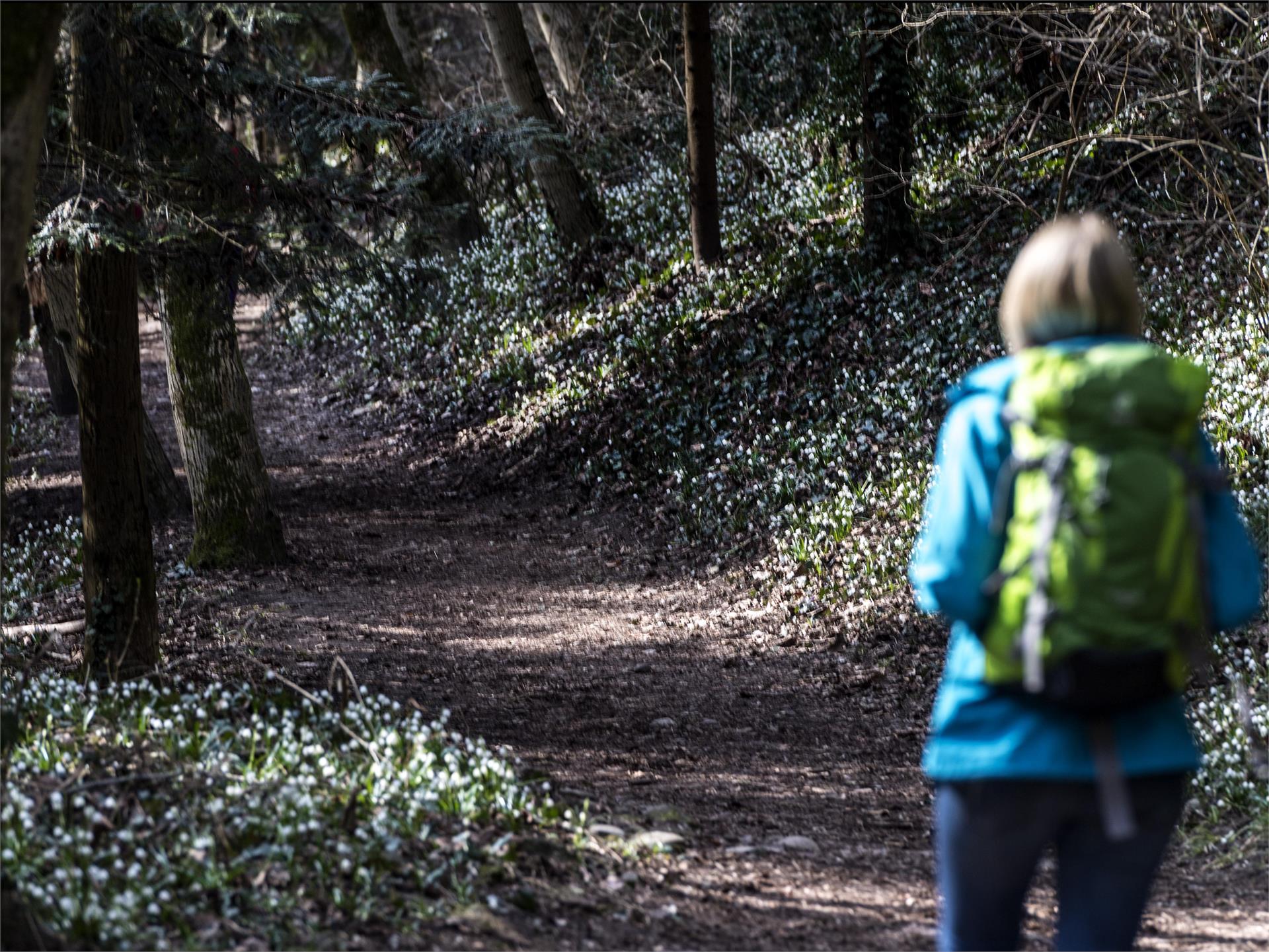
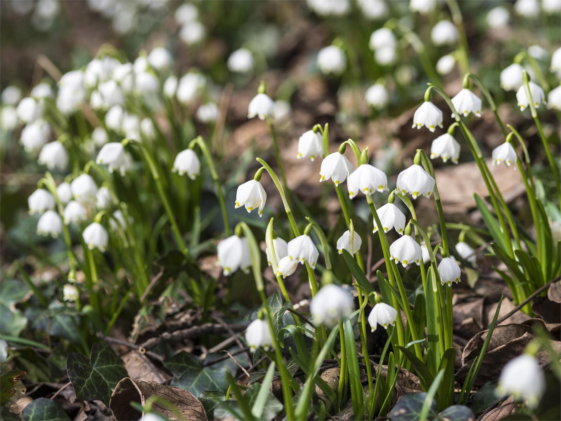
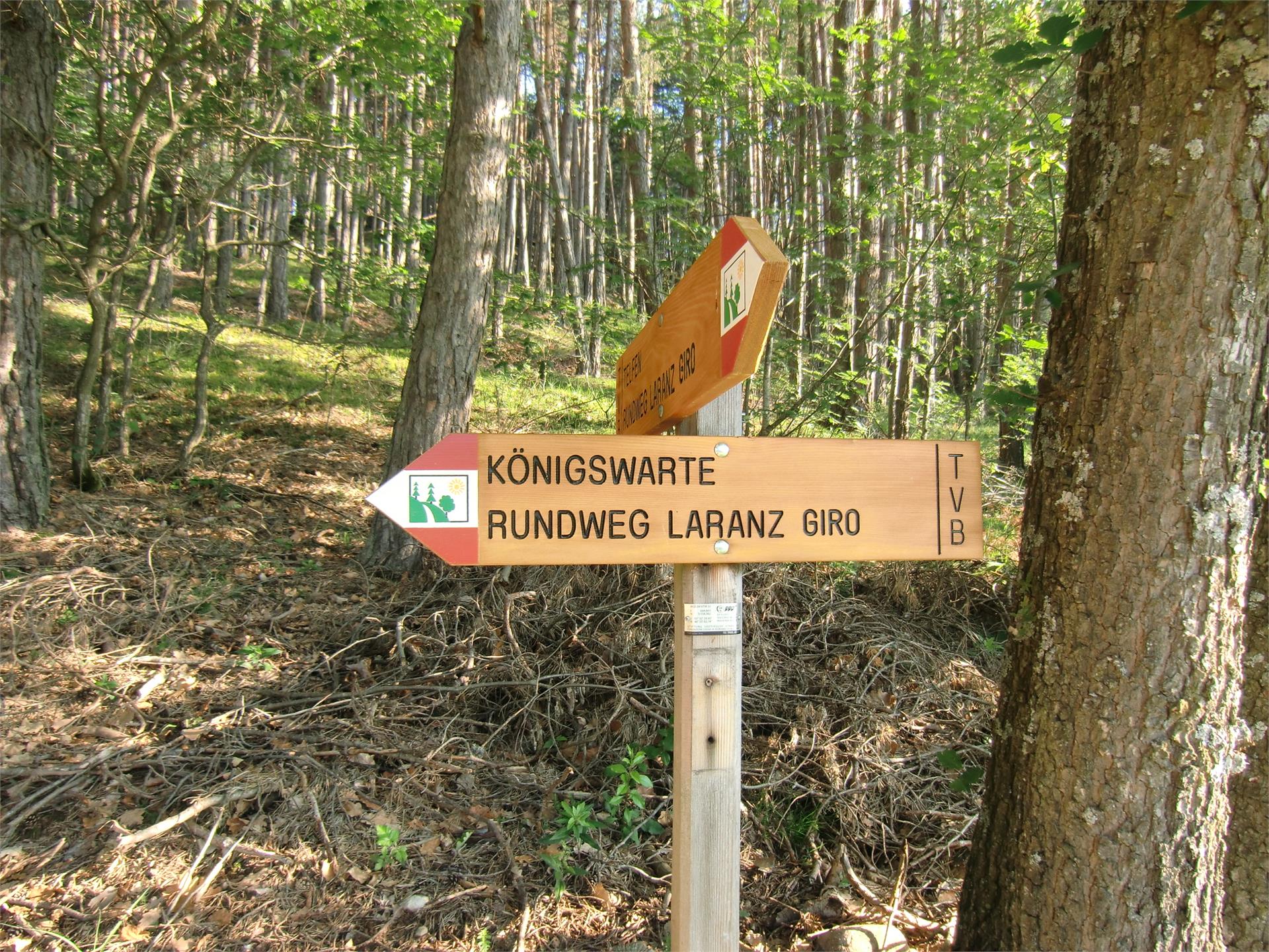
Starting from the Salten parking lot at the sports fields/Valas Street, the hike follows trail no. 1/E5 past Edelweiss and Salto to the Wirtshof. From here, take trails 6 and 12B to the Gschnoferstall, continue on trail 12 past the ancient larch tree and take trail 7 back to the Edelweiss.
Walking time: 2:40 hrs.
Length: 9 km
Drop/rise: 275 m


