Südtirol Guide App
South Tyrol´s digital travel guide
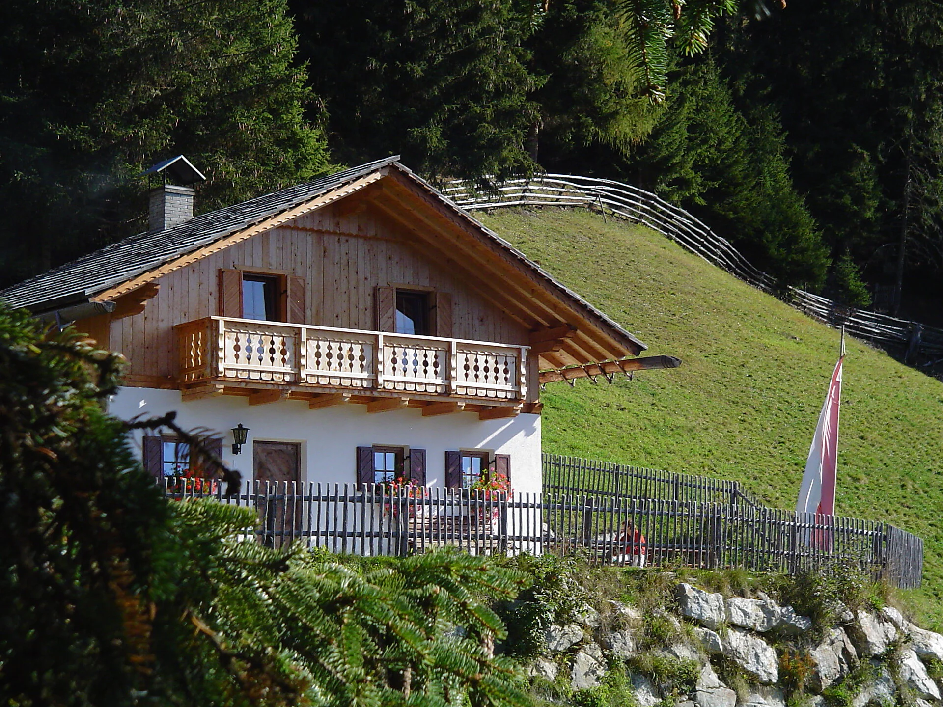
The hike to Schwörzalm hut is a varied tour in the Antholz Valley with several starting options. The alpine pasture is located in a scenic position above the valley and offers wonderful views down the valley and of the surrounding mountains.
Depending on the chosen starting point, the route either leads directly and steeply through the forest or takes a longer path via alpine pastures, waterfalls and varied trails to the hut. The combination of peaceful forest sections and impressive natural highlights makes this hike particularly appealing.
Thanks to the different ascent and connection options, the tour can be tailored individually – from a short, sporty hike to a longer circular tour.
Variant 1 – direct from Antholz Obertal:
The starting point is at the material cable car of the Rieserferner Hut in Antholz Obertal. From there, follow trail no. 4, which climbs steeply through the forest to Schwörzalm hut.
Variant 2 – from Antholz Mittertal (sports area):
From the sports area in Antholz Mittertal, walk to the Egger farms. From there, follow forest road no. 3 and 12 to the Klammbach waterfall and continue to Bergeralm hut. Then follow trail no. 3B to Schwörzalm hut.
Variant 3 – from Lake Antholz:
From Lake Antholz, first follow trail no. 11 downhill to Antholz Obertal. From there, continue on trail no. 10 and then along the "Kornbrentesteig" trail to Schwörzalm hut.
Circular tour options:
By combining the different routes, the hike can easily be planned as a circular tour.
From the Pustertal road, turn at Olang into the Antholz Valley and, depending on the chosen variant, continue to Antholz Mittertal, Antholz Obertal or to Lake Antholz.

Thank you for signing up!
Your subscription is already active
Confirm your registration
To complete your subscription, open the email we just sent you and click on the confirmation link.
Can’t find it? Check your spam folder too.
We noticed that you tried to subscribe to the newsletter, but your email address is already registered. You will continue to receive our offers, tips and inspiration for your holiday.
We noticed that you already tried to subscribe to our Newsletter in the past but didn’t confirmed the subscription. We have resent you an email now, please check your inbox and spam folder to confirm.