1/4
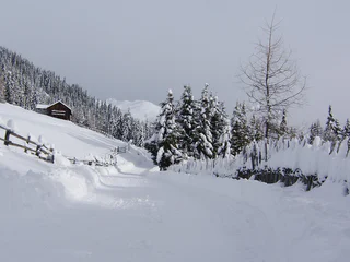
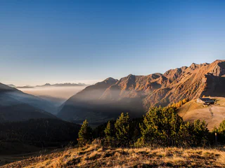
Pertinger Alm Toboggan Run: Winter Fun in Terenten
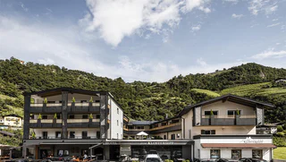
Terento/Terenten, Terenten/Terento, Brixen/Bressanone and environs
medium
Obtížnost
0 m
Převýšení
1h:49 min
doba trvání
Brixen a jeho okolí nabízí celou řadu tras, od rodinných výletů až po náročné výstupy. Prozkoumejte kulturní města a vychutnejte si středomořský vliv. Brixen, Klausen/Chiusa a Sterzing/Vipiteno stojí za výlet. Září bohatou historií, krásnými památkami a úspěšnou kombinací zvyků a inovací Zažijte Törggelen, tradiční jihotyrolskou slavnost s vínem, jídlem a kaštany.
1/4
Terento/Terenten, Terenten/Terento, Brixen/Bressanone and environs
medium
Obtížnost
0 m
Převýšení
1h:49 min
doba trvání
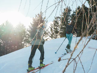
1/2
Valles/Vals, Mühlbach/Rio di Pusteria, Brixen/Bressanone and environs
medium
Obtížnost
560 m
Převýšení
2h:00 min
doba trvání

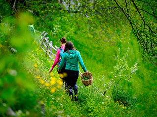
1/2
Bressanone città/Brixen Stadt, Brixen/Bressanone, Brixen/Bressanone and environs

S. Maddalena/St. Magdalena - Funes/Villnöss, Brixen/Bressanone, Brixen/Bressanone and environs
medium
Obtížnost
720 m
Převýšení
6h:30 min
doba trvání
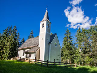
1/3
Spelonca/Spiluck, Vahrn/Varna, Brixen/Bressanone and environs
easy
Obtížnost
145 m
Převýšení
0h:49 min
doba trvání
Bressanone città/Brixen Stadt, Brixen/Bressanone, Brixen/Bressanone and environs
1/2
Alpe di Villandro/Villanderer Alm, Villanders/Villandro, Brixen/Bressanone and environs
medium
Obtížnost
450 m
Převýšení
2h:46 min
doba trvání
1/19
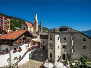
Chiusa/Klausen, Klausen/Chiusa, Brixen/Bressanone and environs
1/2
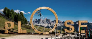
Plose/Plose, Brixen/Bressanone, Brixen/Bressanone and environs
easy
Obtížnost
0 m
Převýšení
0h:00 min
doba trvání
1/2
Villandro/Villanders, Villanders/Villandro, Brixen/Bressanone and environs
Valles/Vals, Mühlbach/Rio di Pusteria, Brixen/Bressanone and environs
easy
Obtížnost
0 m
Převýšení
0h:04 min
doba trvání
St. Andrä/S. Andrea, Brixen/Bressanone, Brixen/Bressanone and environs
Monteponente/Pfeffersberg, Brixen/Bressanone, Brixen/Bressanone and environs
easy
Obtížnost
280 m
Převýšení
2h:00 min
doba trvání
1/2
Novacella/Neustift, Vahrn/Varna, Brixen/Bressanone and environs
easy
Obtížnost
215 m
Převýšení
1h:46 min
doba trvání
1/3
Barbiano/Barbian, Barbian/Barbiano, Brixen/Bressanone and environs
1/3
Lazfons/Latzfons, Klausen/Chiusa, Brixen/Bressanone and environs
medium
Obtížnost
539 m
Převýšení
3h:15 min
doba trvání
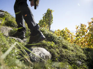
Alpe di Villandro/Villanderer Alm, Villanders/Villandro, Brixen/Bressanone and environs
medium
Obtížnost
638 m
Převýšení
3h:00 min
doba trvání
1/3
Maranza/Meransen, Mühlbach/Rio di Pusteria, Brixen/Bressanone and environs
1/3
Barbiano/Barbian, Barbian/Barbiano, Brixen/Bressanone and environs
Bressanone città/Brixen Stadt, Brixen/Bressanone, Brixen/Bressanone and environs
easy
Obtížnost
286 m
Převýšení
1h:37 min
doba trvání
1/3
Sciaves/Schabs, Natz-Schabs/Naz-Sciaves, Brixen/Bressanone and environs
Bressanone città/Brixen Stadt, Brixen/Bressanone, Brixen/Bressanone and environs
Villandro/Villanders, Villanders/Villandro, Brixen/Bressanone and environs
easy
Obtížnost
100 m
Převýšení
0h:40 min
doba trvání
1/5
Chiusa/Klausen, Klausen/Chiusa, Brixen/Bressanone and environs
1/2
Velturno/Feldthurns, Feldthurns/Velturno, Brixen/Bressanone and environs
medium
Obtížnost
249 m
Převýšení
2h:02 min
doba trvání
1/8
Albes/Albeins, Brixen/Bressanone, Brixen/Bressanone and environs
Vandoies di Sopra/Obervintl, Vintl/Vandoies, Brixen/Bressanone and environs
St. Andrä/S. Andrea, Brixen/Bressanone, Brixen/Bressanone and environs
Brixen Stadt/Bressanone città, Brixen/Bressanone, Brixen/Bressanone and environs
1/3
Fundres/Pfunders, Vintl/Vandoies, Brixen/Bressanone and environs
medium
Obtížnost
600 m
Převýšení
6.4 Km
vzdálenost


