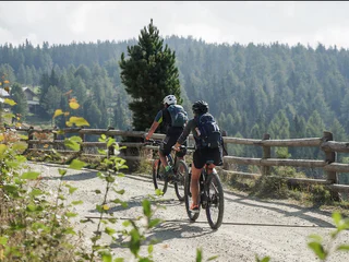
1/3
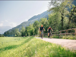
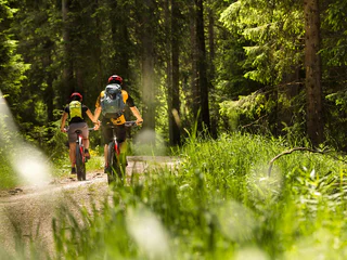
Tour Mörre
Schenna/Scena, Meran/Merano and environs
easy
Poziom trudności
510 m
Wzlot
24.8 Km
odległość
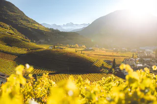
Wyrusz na ekscytujące wycieczki rowerowe w Południowym Tyrolu, pedałując przez urokliwe winnice, malownicze doliny i majestatyczne góry. Odkryj zapierające dech w piersiach krajobrazy, pokonaj wymagające szlaki i delektuj się bogatą kulturą i gastronomią regionu. Niezapomniana przygoda dla każdego entuzjasty kolarstwa!
1/3
Schenna/Scena, Meran/Merano and environs
easy
Poziom trudności
510 m
Wzlot
24.8 Km
odległość
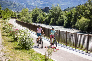
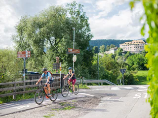
1/2
Bolzano Centro/Bozen Zentrum, Bolzano/Bozen, Bolzano/Bozen and environs
easy
Poziom trudności
252 m
Wzlot
46.0 Km
odległość
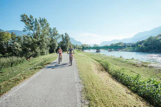
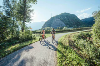
1/3
Schenna/Scena, Meran/Merano and environs
medium
Poziom trudności
1030 m
Wzlot
35.1 Km
odległość
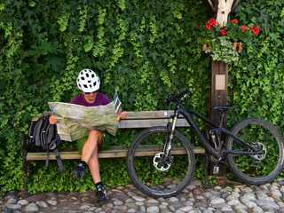
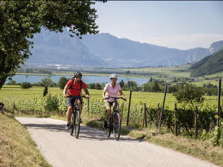
1/3
Albion/Albions, Lajen/Laion
medium
Poziom trudności
943 m
Wzlot
16.0 Km
odległość

Moos/S.Giuseppe, Sexten/Sesto, Dolomites Region 3 Zinnen
easy
Poziom trudności
259 m
Wzlot
16.1 Km
odległość
1/2
Nova Levante/Welschnofen, Welschnofen/Nova Levante, Dolomites Region Eggental
medium
Poziom trudności
338 m
Wzlot
11.2 Km
odległość
Nove Case/Neunhäusern, Rasen-Antholz/Rasun Anterselva, Dolomites Region Kronplatz/Plan de Corones
difficult
Poziom trudności
1309 m
Wzlot
47.9 Km
odległość
Auer/Ora, Alto Adige Wine Road
medium
Poziom trudności
209 m
Wzlot
17.9 Km
odległość

1/3
Karthaus/Certosa, Schnals/Senales, Vinschgau/Val Venosta
difficult
Poziom trudności
997 m
Wzlot
8.1 Km
odległość
S. Pietro/St. Peter - Laion/Lajen, Lajen/Laion
easy
Poziom trudności
168 m
Wzlot
2.2 Km
odległość
Sorgente/Quellenhof, St.Martin in Passeier/San Martino in Passiria, Meran/Merano and environs
difficult
Poziom trudności
1254 m
Wzlot
32.9 Km
odległość
Braies di Dentro/Innerprags, Prags/Braies, Dolomites Region 3 Zinnen
medium
Poziom trudności
391 m
Wzlot
11 Km
odległość

1/6
Nove Case/Neunhäusern, Rasen-Antholz/Rasun Anterselva, Dolomites Region Kronplatz/Plan de Corones
difficult
Poziom trudności
1656 m
Wzlot
38.0 Km
odległość
1/4
Montesole/Sonnenberg - Parcines/Partschins, Graun im Vinschgau/Curon Venosta, Vinschgau/Val Venosta
difficult
Poziom trudności
1432 m
Wzlot
79.1 Km
odległość
Lana di Sotto/Niederlana, Lana, Meran/Merano and environs
medium
Poziom trudności
0 m
Wzlot
60.1 Km
odległość
1/3
Alto Adige Wine Road
medium
Poziom trudności
0 m
Wzlot
0.0 m
odległość
Magdfeld/Magdfeld, Riffian/Rifiano, Meran/Merano and environs
difficult
Poziom trudności
944 m
Wzlot
17.9 Km
odległość
San Leonardo i.P./St. Leonhard i.P., St.Leonhard in Passeier/San Leonardo in Passiria, Meran/Merano and environs
easy
Poziom trudności
0 m
Wzlot
20 Km
odległość
Anterselva di Sotto/Antholz-Niedertal, Rasen-Antholz/Rasun Anterselva, Dolomites Region Kronplatz/Plan de Corones
difficult
Poziom trudności
583 m
Wzlot
25.7 Km
odległość
Tablà/Tabland - Naturno/Naturns, Naturns/Naturno, Meran/Merano and environs
medium
Poziom trudności
0 m
Wzlot
4.9 Km
odległość
1/4
Nalles/Nals, Nals/Nalles, Meran/Merano and environs
easy
Poziom trudności
131 m
Wzlot
40.8 Km
odległość
Alttoblach/Dobbiaco Vecchia, Toblach/Dobbiaco, Dolomites Region 3 Zinnen
medium
Poziom trudności
661 m
Wzlot
24.1 Km
odległość
Resia/Reschen, Graun im Vinschgau/Curon Venosta, Bolzano/Bozen and environs
easy
Poziom trudności
290 m
Wzlot
140.8 Km
odległość
Kohlern/Colle, Bolzano/Bozen, Bolzano/Bozen and environs
medium
Poziom trudności
952 m
Wzlot
35.1 Km
odległość
Fraina/Freins, Lajen/Laion
easy
Poziom trudności
17 m
Wzlot
3.8 Km
odległość
1/4
Luson/Lüsen, Rodeneck/Rodengo, Brixen/Bressanone and environs
easy
Poziom trudności
224 m
Wzlot
5.8 Km
odległość
1/2
S. Candido/Innichen, Bruneck/Brunico, Dolomites Region Kronplatz/Plan de Corones
medium
Poziom trudności
369 m
Wzlot
34.8 Km
odległość
Transacqua/Ennewasser, Martell/Martello, Vinschgau/Val Venosta
medium
Poziom trudności
764 m
Wzlot
11.0 Km
odległość
1/6
Pochi/Buchholz, Bolzano/Bozen, Bolzano/Bozen and environs
easy
Poziom trudności
10 m
Wzlot
30.8 Km
odległość
1/2
Tramin an der Weinstraße/Termeno sulla Strada del Vino, Alto Adige Wine Road
easy
Poziom trudności
799 m
Wzlot
46.7 Km
odległość
Dziękujemy za zapisanie się!
Subskrypcja jest już aktywna
Potwierdź rejestrację
Aby zakończyć rejestrację, otwórz e-mail, który właśnie wysłaliśmy, i kliknij link potwierdzający.
Nie widzisz wiadomości? Sprawdź folder spam.
Zauważyliśmy, że próbowałeś(-aś) zapisać się do newslettera, ale Twój adres e-mail jest już zarejestrowany. Nadal będziesz otrzymywać nasze oferty, wskazówki i inspiracje na Twój urlop.
Już próbowałeś zapisać się do naszego newslettera, ale nie potwierdziłeś rejestracji. Właśnie wysłaliśmy ci ponownie e‑mail. Sprawdź swoją skrzynkę odbiorczą i folder ze spamem i potwierdź teraz.


