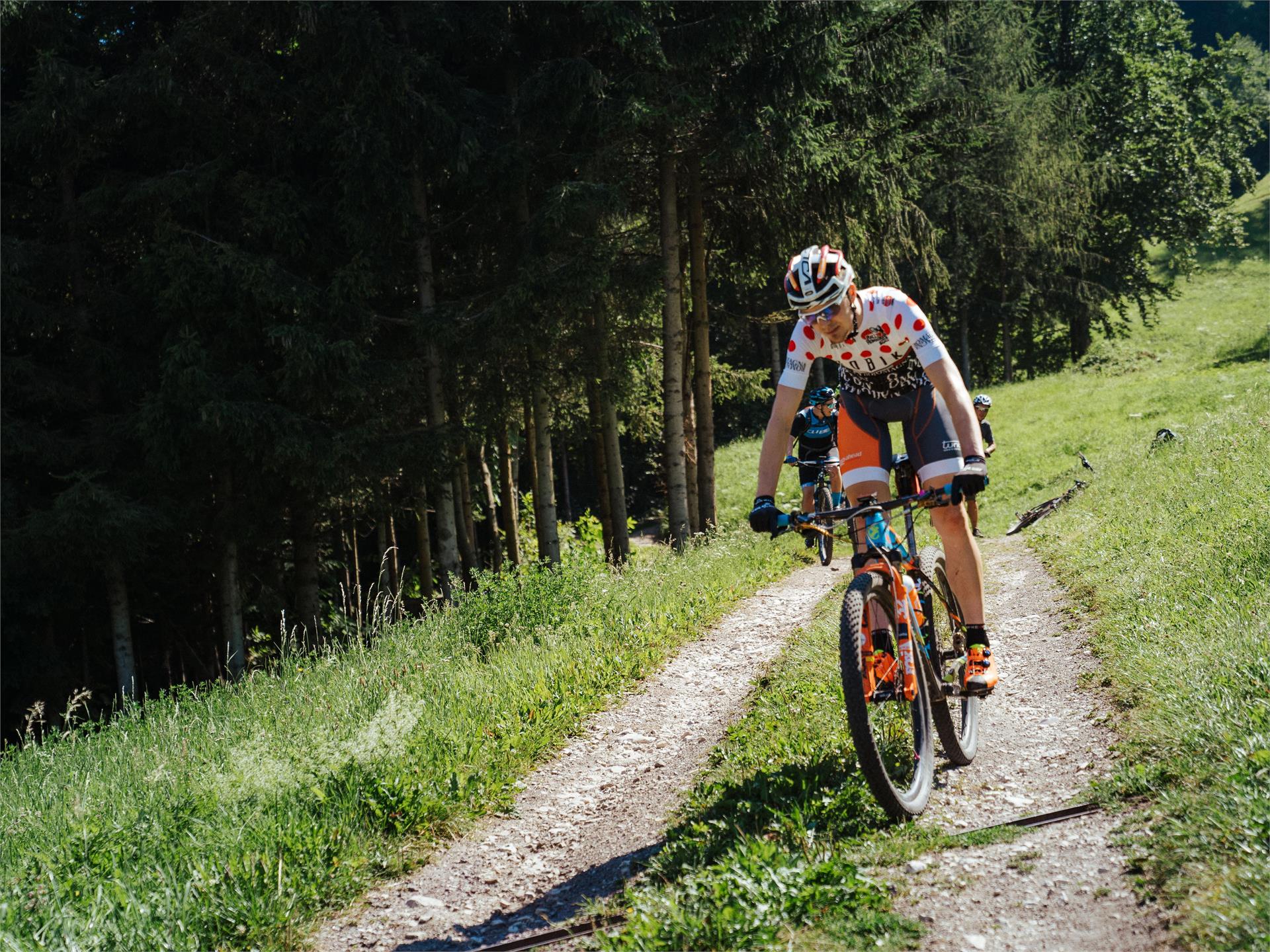
Przejdź do treści
dodano do ulubionych
usunięto z ulubionych
Coś poszło nie tak! Wystąpił problem. Spróbuj ponownie
Twoje konto jest właśnie tworzone
Twoje konto zostało pomyślnie utworzone i jesteś teraz zalogowany
Jesteś wylogowany
Filtr
Wybrane filtry
    Poziom trudności
    Czas trwania
    Odległość w km

    Wycieczki rowerowe

    Wyrusz na ekscytujące wycieczki rowerowe w Południowym Tyrolu, pedałując przez urokliwe winnice, malownicze doliny i majestatyczne góry. Odkryj zapierające dech w piersiach krajobrazy, pokonaj wymagające szlaki i delektuj się bogatą kulturą i gastronomią regionu. Niezapomniana przygoda dla każdego entuzjasty kolarstwa!
    Wyniki
    Cycling
    Around the Kronplatz
    Rasen-Antholz/Rasun Anterselva, Dolomites Region Kronplatz/Plan de Corones

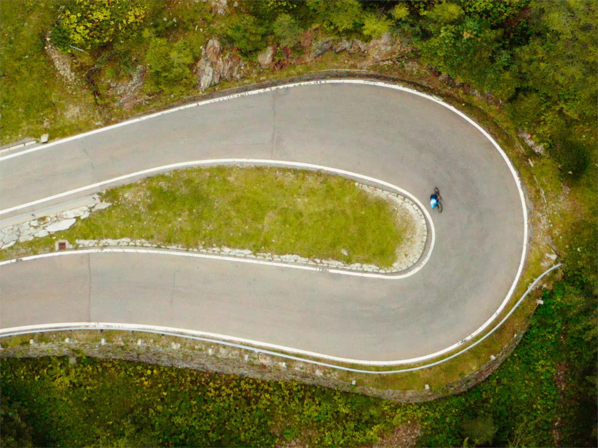
    Rasen > Olang > Furkelpass > Enneberg > Maria Saalen > Reischach > Ried > Rasen

    Poziom trudności: łatwy
    3019 wysokość w górę
    47.8 Km odległość
    Cycling
    Via Claudia Augusta Part 1: From Reschensee Lake to Merano
    Graun im Vinschgau/Curon Venosta, Vinschgau/Val Venosta
    The Adige cycling Trail runs along the ancient Roman road Via Claudia Augusta, in some parts flat in others downhill. The excellent network of cycle paths in the Vinschgau Valley allows for relaxed cycling on good surfaces, either asphalted or gravelled and rolled. The Adige Cycling Tour is particularly popular for moderate cyclists. There are different stations where it is possible to rent bicycles and return them in some other stations. So there is no need to bring your own bike. Simplify the tour and jump with the bike on the Vinschger Train at any time.
    Poziom trudności: łatwy
    262 wysokość w górę
    82.9 Km odległość
    Mountain bike
    To the Kurpark in Niederdorf
    Niederdorf/Villabassa, Dolomites Region Kronplatz/Plan de Corones

    From the Antholz Valley along the Pustertal bike route to Villabassa to the Kurpark spa (playground).

    Poziom trudności: łatwy
    423 wysokość w górę
    23.4 Km odległość
    Cycling
    Bike ride through the Altfass Valley
    Mühlbach/Rio di Pusteria, Brixen/Bressanone and environs

    Biking tour through the natural jewel Altfasstal Valley to the Pranterstadl hut (1.833 m) and Wieser hut (1.850 m). From the parking Altfasstal (1.600 m), slightly down to Altfassbach and then always slightly uphill through the valley with two shorter steep steps. The route is rewarded with a breathtaking view to the Fallmetzer and Gaisjoch peak. The mountain bike tour is very easy to combine with subsequent ascent to the Seefeld lakes and the Seefeldspitze peak (2.715 m) as a bike & hike Tour. The way back is the same.

    Poziom trudności: średni
    282 wysokość w górę
    10.3 Km odległość
    Mountain bike
    Bike route Antholz Valley
    Olang/Valdaora, Dolomites Region Kronplatz/Plan de Corones

    Cycling route from Neunhäusern to Antholz Mittertal                   

    Poziom trudności: łatwy
    96 wysokość w górę
    12.3 Km odległość
    Mountain bike
    To the Lake Toblach
    Toblach/Dobbiaco, Dolomites Region Kronplatz/Plan de Corones

    Along the Pustertal valley cycling route to Toblach and ahead in direction Cortina till the lake Toblach.

    Poziom trudności: łatwy
    385 wysokość w górę
    22.4 Km odległość
    Cycling
    Cycle path Niederdorf/Villabassa - Bruneck/Brunico
    Niederdorf/Villabassa, Dolomites Region 3 Zinnen
    Beautiful family bike route from Niederdorf/Villabassa to Bruneck/Brunico. You start your bike tour in the direction of Welsberg/Monguelfo, past the reservoir in the direction of Olang/Valdora. There you will pass playgrounds, to the delight of the little bike lovers. Now you follow the bike route for about 10 km to the worth seeing city of Bruneck/Brunico.
    Poziom trudności: średni
    176 wysokość w górę
    16.4 Km odległość
    Mountain bike
    Circumnavigation of Anterivo
    Altrei/Anterivo, Bolzano/Bozen and environs

    The easy itinerary starts in the centre of Anterivo. First, it goes downhill following the village road to the sawmill. A slight incline brings us near the Passo Cisa and continues until it reaches the Masi Pausa and the Malghette. A pleasant descent followed by a short climb to the Ebner Rast concludes the itinerary to the starting Point in the centre of Anterivo.

    Possible restaurant stops: Le Malghette

    Poziom trudności: łatwy
    455 wysokość w górę
    12.9 Km odległość
    Mountain bike
    To the Pragser Wildsee Lake
    Rasen-Antholz/Rasun Anterselva, Dolomites Region Kronplatz/Plan de Corones

    From the Antholz Valley along the Pustertal cycling route to the Pragser Wildsee lake.

    Poziom trudności: łatwy
    766 wysokość w górę
    27.1 Km odległość
    Mountain bike
    To Sand in Taufers to the starting point of the Waterfalls Reinbach
    Rasen-Antholz/Rasun Anterselva, Dolomites Region Kronplatz/Plan de Corones

    On the Pustertal cycling route from the Antholz Valley to Bruneck and then in direction Ahnrtal to Sand in Taufers to the starting point of the waterfalls Reinbach. From there you can visit the waterfalls on foot.

    Poziom trudności: łatwy
    318 wysokość w górę
    33.4 Km odległość
    Cycling
    To Welsberg
    Welsberg-Taisten/Monguelfo-Tesido, Dolomites Region Kronplatz/Plan de Corones

    Along the Pustertal cycling route to Welsberg / Monguelfo.          

    Poziom trudności: łatwy
    254 wysokość w górę
    16.2 Km odległość
    Mountain bike
    To Bruneck
    Bruneck/Brunico, Dolomites Region Kronplatz/Plan de Corones

    On the Pustertal cycling route from the Antholz Valley to Bruneck.

    Poziom trudności: łatwy
    54 wysokość w górę
    11.4 Km odległość
    Cycling
    Waldberg-Wiesboden Tour
    Martell/Martello, Vinschgau/Val Venosta

    If you want to enjoy great views and inform yourself about Europe’s highest granaries, then this is the right tour for you. Start at the Trattla sports and leisure center with the culturamartell visitor center and the South Tyrolean Strawberry World. During this tour, you pass different climate zones at Val Martello‘ Sun Mountain: from the strawberry fields along Martello’s valley path (no. 36) through the village of Martello and up to Europe’s highest mountain farms Premstl, Niederhof or Stallwies built on steep, irrigated slopes. Beautiful mountain farms with wooden shingle roofs accompany you on your way to Stallwies while crossing the partially extremely steep meadows of Martello’s Selva on the road. Just after Premstl at Niederhof, you can enjoy the impressive view of the Cevedale glacier and Martello’s high mountain world. After another three kilometers you reach the Stallwies inn where you turn right at the mill and continue on a beautiful forest road through Swiss pine forests until you reach the Wiesboden viewpoint and picnic area. If you want, you can explore the wooden irrigation channel path or the Mountain Farmer Trail by taking the path up or down.

    Poziom trudności: łatwy
    982 wysokość w górę
    13.4 Km odległość
    Mountain bike
    To the view of the Three Peaks
    Toblach/Dobbiaco, Dolomites Region Kronplatz/Plan de Corones

    On the Pustertal cycling path to Toblach and ahead in direction Cortina till the View of the 3 Peaks.

    Poziom trudności: łatwy
    638 wysokość w górę
    31.6 Km odległość
    Cycling
    To the Staller Saddle
    Olang/Valdaora, Dolomites Region Kronplatz/Plan de Corones

    From Niederrasen along the river to Antholz Niedertal > continue through the village Antholz Mittertal > along the main road up to the Lake Antholz > on the pass road up to the Staller Saddle.

    Poziom trudności: łatwy
    1424 wysokość w górę
    22.3 Km odległość
    Cycling
    To the Biotope Rasner Möser
    Rasen-Antholz/Rasun Anterselva, Dolomites Region Kronplatz/Plan de Corones

    From Niederrasen to Oberrasen (culture house) > along the river > after approx. 1 km turn right on a country lane > further on northwards to the biotope (the moor area - an integral natural reserve with nature trail). This hike can also be started from Antholz Niedertal or Antholz Mittertal!

    Poziom trudności: łatwy
    192 wysokość w górę
    12.3 Km odległość
    Mountain bike
    Redensberg - Aschbach - Nasen
    Rasen-Antholz/Rasun Anterselva, Dolomites Region Kronplatz/Plan de Corones

    Antholz Niedertal > Redensberg > Aschbach > Nasen > Antholz Valley

    Poziom trudności: łatwy
    1121 wysokość w górę
    25.8 Km odległość
    Cycling
    Southern Wine Route, Wine & bike: Gewürztraminer and Pinot Noir
    Kurtatsch an der Weinstraße/Cortaccia sulla Strada del Vino, The South Tyrolean Wine Road

    The southernmost ‘Wine & Bike’ route leads from the wine villages of Cortaccia/Kurtatsch and Magrè/Margreid to Cortina all’Adige/Kurtinig and Salorno/Salurn. Return via Egna/Neumarkt and Ora/Auer, the Lake Kaltern and back to Termeno/Tramin. The stretch from Salorno to Ora can be completed by train.


    Poziom trudności: łatwy
    451 wysokość w górę
    46.8 Km odległość
    Cycling
    Tour of the huts by bike at Meransen
    Mühlbach/Rio di Pusteria, Brixen/Bressanone and environs

    The tour of the huts starts from the Gitschberg cable car in Maranza (valley station - 1,428 m) and leads through a forest to the Pichler hut (1,918 m), continuing upwards towards the hut Nesselhütte (2,113 m) and the hut Gitschhütte (2,210 m). Returning to the hut Pichlerhütte and the hut Bacherhütte (1,744 m). At the end we return to the parking area "Altfasstal" and across the village to the starting point.

    Poziom trudności: średni
    966 wysokość w górę
    15.6 Km odległość
    Cycling
    Furkelpass / Passo Furcia
    Al Plan/San Vigilio, Dolomites Region Kronplatz/Plan de Corones

    From the Antholz Valley to the Furkelpass/Passo Furcia (Altitude difference: 728 m | Lenght: 10,2 km)

    Poziom trudności: łatwy
    1373 wysokość w górę
    17.6 Km odległość
    Mountain bike
    To the Lake Antholz
    Rasen-Antholz/Rasun Anterselva, Dolomites Region Kronplatz/Plan de Corones

    From Niederrasen along the river to Antholz Niedertal > continue through the village Antholz Mittertal > along the main road up to the Lake Antholz.

    Poziom trudności: łatwy
    778 wysokość w górę
    18.1 Km odległość
    Mountain bike
    To Innichen
    Rasen-Antholz/Rasun Anterselva, Dolomites Region Kronplatz/Plan de Corones

    Along the Pustertal cycling route to Innichen / San Candido.           

    Poziom trudności: łatwy
    342 wysokość w górę
    25.3 Km odległość
    Cycling
    Bike tour from Niederdorf/Villabassa to Pragser Wildsee lake
    Prags/Braies, Dolomites Region 3 Zinnen
    The bike tour starts in Niederdorf/Villabassa and leads you along the bike path to Schmieden/Ferrara. From Schmieden/Ferrara you drive on the forest road to St. Veit/San Vito. The last part (about 2 kilometers) you drive on the main road, which is partially closed to cars from mid-July to mid-September.
    Poziom trudności: średni
    332 wysokość w górę
    12 Km odległość
    Mountain bike
    To Niederolang and Mitterolang
    Olang/Valdaora, Dolomites Region Kronplatz/Plan de Corones

    From the Antholz Valley to Niederolang and further on to Mitterolang.

    Poziom trudności: łatwy
    172 wysokość w górę
    12.3 Km odległość
    Cycling
    Cycle Route Niederdorf/Villabassa - Prags/Braies
    Gsies/Valle di Casies, Dolomites Region 3 Zinnen

    Pleasant bike ride to Schmieden/Ferrara in Prags/Braies. You start your bike tour in Niederdorf/Villabassa. First you follow the bike path in the direction of Welsberg/Monguelfo for about 3km. Now it goes along the Pragser Bach river. You reach the village of Schmiedern/Ferrara.
    From 07/10/ - 09/10/ the Braies Valley will be traffic calmed. It is possible to continue driving to the Pragser Wildsee during this period of time. Also suitable for e-bikes.


    Poziom trudności: łatwy
    115 wysokość w górę
    5.8 Km odległość
    Cycling
    Cycling Path Niederdorf/Villabassa - Antholz Valley
    Niederdorf/Villabassa, Dolomites Region 3 Zinnen

    You start your bike tour in Niederdorf/Villabassa. Along the Platari you get to Welsberg/Monguelfo. There you follow the cycle path past the Valdaora reservoir to Rasen/Rasun. From Rasen/Rasun to Antholz Niedertal valley you will only find a very small difference in altitude. You will pass Antholz Mittertal vally and Antholz Obertal Vally. Your destination is the Anholzer See lake at 1,640m. Also suitable for e-bikes.


    Poziom trudności: łatwy
    742 wysokość w górę
    31.0 Km odległość
    1 2 3 4 5 6 7 8 9