
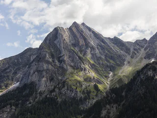
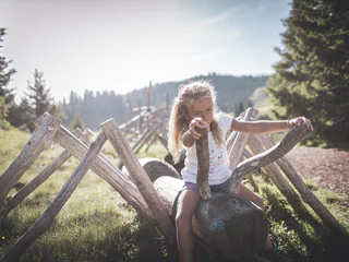
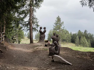
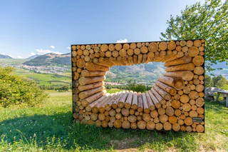
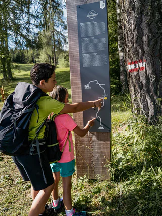
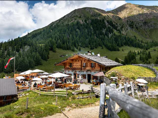
The path across the cols: The Traditions and Customs Path
S. Maddalena/St. Magdalena - Casies/Gsies, Gsies/Valle di Casies
difficult
Poziom trudności
1200 m
Wzlot
6h:00 min
czas trwania
Przejrzyj oferty specjalnych wędrówek tematycznych, wysokogórskich, dalekobieżnych itp. w Południowym Tyrolu.
S. Maddalena/St. Magdalena - Casies/Gsies, Gsies/Valle di Casies
difficult
Poziom trudności
1200 m
Wzlot
6h:00 min
czas trwania
1/2
Cengles/Tschengls, Laas/Lasa, Vinschgau/Val Venosta
difficult
Poziom trudności
914 m
Wzlot
6h:30 min
czas trwania
1/5
Valgiovo/Jaufental, Ratschings/Racines, Sterzing/Vipiteno and environs
easy
Poziom trudności
48 m
Wzlot
0h:45 min
czas trwania
1/7
Alpe di Rodengo/Rodenecker Alm, Rodeneck/Rodengo, Brixen/Bressanone and environs
easy
Poziom trudności
188 m
Wzlot
1h:30 min
czas trwania
1/3
Bressanone città/Brixen Stadt, Brixen/Bressanone, Brixen/Bressanone and environs
easy
Poziom trudności
0 m
Wzlot
2h:15 min
czas trwania
Aldino/Aldein, Aldein/Aldino
easy
Poziom trudności
391 m
Wzlot
3h:23 min
czas trwania
1/3
Glorenza/Glurns, Glurns/Glorenza, Vinschgau/Val Venosta
medium
Poziom trudności
409 m
Wzlot
4h:00 min
czas trwania
1/4
Falzeben/Falzeben, Hafling/Avelengo, Meran/Merano and environs
difficult
Poziom trudności
1300 m
Wzlot
5h:30 min
czas trwania
Slingia/Schlinig, Mals/Malles, Vinschgau/Val Venosta
difficult
Poziom trudności
1213 m
Wzlot
5h:45 min
czas trwania
1/3
La Villa/La Villa, Badia, Dolomites Region Alta Badia
easy
Poziom trudności
282 m
Wzlot
2h:40 min
czas trwania
Prissiano/Prissian, Tisens/Tesimo, Meran/Merano and environs
easy
Poziom trudności
162 m
Wzlot
1h:13 min
czas trwania
1/2
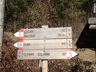
Cologna/Glaning, Jenesien/San Genesio Atesino, Bolzano/Bozen and environs
medium
Poziom trudności
338 m
Wzlot
3h:28 min
czas trwania

1/3
Obereggen/Obereggen, Deutschnofen/Nova Ponente, Dolomites Region Eggental
easy
Poziom trudności
41 m
Wzlot
2h:00 min
czas trwania
San Nicolò/St. Nikolaus, Ulten/Ultimo, Meran/Merano and environs
easy
Poziom trudności
0 m
Wzlot
0h:49 min
czas trwania
1/4
San Lugano/San Lugano, Truden/Trodena
medium
Poziom trudności
440 m
Wzlot
3h:10 min
czas trwania
1/8
Longiarù/Campill, San Martin /San Martino, Dolomites Region Kronplatz/Plan de Corones
easy
Poziom trudności
36 m
Wzlot
0h:25 min
czas trwania
Redagno/Radein, Aldein/Aldino
medium
Poziom trudności
431 m
Wzlot
2h:22 min
czas trwania
1/3
Tramin an der Weinstraße/Termeno sulla Strada del Vino, Alto Adige Wine Road
easy
Poziom trudności
294 m
Wzlot
1h:55 min
czas trwania
1/5
Anterivo/Altrei, Altrei/Anterivo
easy
Poziom trudności
0 m
Wzlot
1h:30 min
czas trwania

1/2
La Val/La Val, La Val, Dolomites Region Alta Badia
easy
Poziom trudności
129 m
Wzlot
0h:45 min
czas trwania
Pinzano/Pinzon, Montan/Montagna, Alto Adige Wine Road
medium
Poziom trudności
980 m
Wzlot
3h:51 min
czas trwania
Alpe di Rodengo/Rodenecker Alm, Lajen/Laion
medium
Poziom trudności
2419 m
Wzlot
11h:54 min
czas trwania
Novale/Ried - San Martino i.P./St. Martin i.P., St.Martin in Passeier/San Martino in Passiria, Meran/Merano and environs
easy
Poziom trudności
262 m
Wzlot
1h:38 min
czas trwania
1/4
Monte Scena/Schennaberg, Schenna/Scena, Meran/Merano and environs
medium
Poziom trudności
400 m
Wzlot
2h:30 min
czas trwania
1/4
Ortisei/Urtijëi/St. Ulrich/Urtijëi, Urtijëi/Ortisei, Dolomites Region Val Gardena
medium
Poziom trudności
0 m
Wzlot
0h:49 min
czas trwania

1/5
Velloi/Vellau, Algund/Lagundo, Meran/Merano and environs
easy
Poziom trudności
244 m
Wzlot
1h:34 min
czas trwania
1/3
Obereggen/Obereggen, Deutschnofen/Nova Ponente, Dolomites Region Eggental
easy
Poziom trudności
141 m
Wzlot
1h:04 min
czas trwania
1/3
Corvara/Corvara, Corvara, Dolomites Region Alta Badia
medium
Poziom trudności
581 m
Wzlot
4h:32 min
czas trwania
Moos/S.Giuseppe
medium
Poziom trudności
1754 m
Wzlot
7h:28 min
czas trwania
Plata/Platten - Falzes/Pfalzen, Pfalzen/Falzes, Dolomites Region Kronplatz/Plan de Corones
medium
Poziom trudności
422 m
Wzlot
4h:00 min
czas trwania
Dziękujemy za zapisanie się!
Rejestracja już aktywna
Potwierdź rejestrację
Aby zakończyć rejestrację, otwórz e-mail, który właśnie wysłaliśmy, i kliknij link potwierdzający.
Nie widzisz wiadomości? Sprawdź folder spam.
Otrzymujesz już nasze wyjątkowe oferty, przydatne wskazówki i specjalne propozycje, aby w pełni cieszyć się wakacjami.
Już próbowałeś zapisać się do naszego newslettera, ale nie potwierdziłeś rejestracji. Właśnie wysłaliśmy ci ponownie e‑mail. Sprawdź swoją skrzynkę odbiorczą i folder ze spamem i potwierdź teraz.


