Přeskočit na obsah

přidáno k oblíbeným

odebráno z oblíbených

Jejda! Došlo k problému, zkuste to prosím znovu

Vytváří se váš účet

Váš účet byl úspěšně vytvořen a nyní jste přihlášeni

Jste úspěšně přihlášeni!

Váš účet byl úspěšně vytvořen, ale nepodařilo se nám vás automaticky přihlásit

Jste odhlášeni

Filtr
Vybrané filtry
    Úroveň obtížnosti
    Doba trvání
    Vzdálenost v km
    Aktivity

    Rodinná turistika v Jižním Tyrolsku

    Vodopád, jeskyně nebo zoo pro nejmenší. Děti je k pěší turistice třeba motivovat. Tyto rodinné turistické trasy jsou zárukou zážitků pro celou rodinu.


    Výsledky
    Hiking
    Family hiking tour: Niederdorf - Aufkirchen - Toblach - Niederdorf
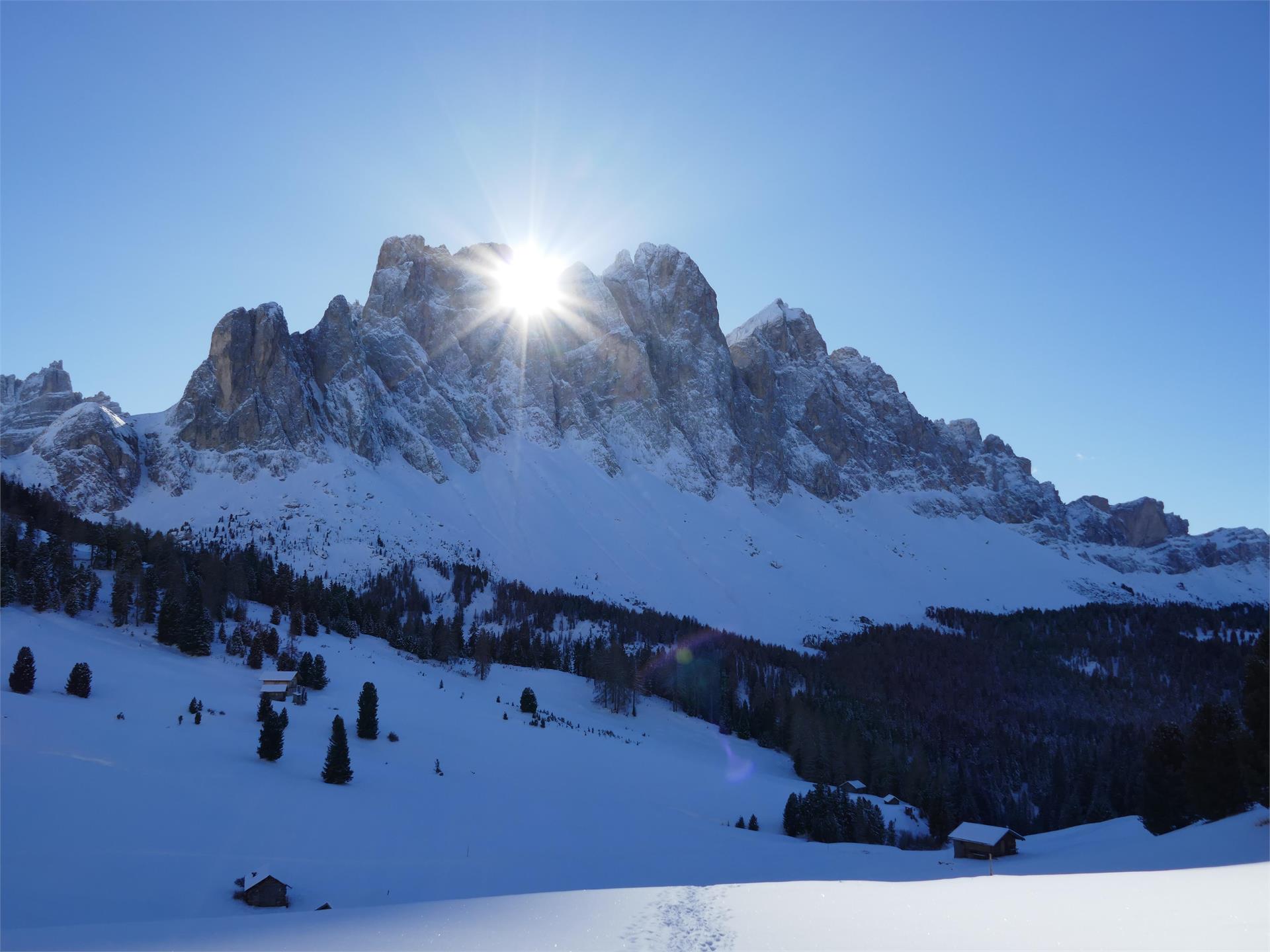
    Niederdorf/Villabassa, Dolomites Region 3 Zinnen

    The walk begins in Niederdorf/Villabassa at Von Kurz Square. From there, it follows well-marked paths towards Aufkirchen/Santa Maria, an idyllic village with traditional houses and magnificent panoramic views. The highest point of the hike is at 1,300 meters, where you can take a break to enjoy the impressive view of the South Tyrolean mountain landscape.

    There is now an alternative route for the way back: instead of returning directly to Niederdorf/Villabassa, the path leads via Toblach/Dobbiaco. Here you follow route no. 11B, which descends slightly and runs through forests and meadows. Toblach/Dobbiaco is ideal for a short stopover before returning to Niederdorf/Villabassa via the same route or by public transport. This variant extends the hike and offers additional scenic variety.

    Obtížnost: nízká
    600 m nadmořská výška
    4h:30 min doba trvání
    Hiking
    Winter hike: Along the “Talblickweg” path in the Val Casies Valley
    Welsberg-Taisten/Monguelfo-Tesido

    The panoramic street of the Val Casies Valley

    Starting point: Val Casies Valley / S. Maddalena head of the valley (1465m)
    Distance: 16,5 km
    Descent: using public transport
    Walking time: 05:00 h
    Difficulty: easy
    Difference in altitude: 200 m
    Tobboganing possibility: no
    Information: Depending on weather conditions: with freshly fallen snow only accessible with snow shoes.

    Obtížnost: nízká
    268 m nadmořská výška
    4h:28 min doba trvání
    Hiking
    Circular route Antholz Mittertal
    Rasen-Antholz/Rasun Anterselva, Dolomites Region Kronplatz/Plan de Corones

    Antholz Mittertal > Ausserweger sawmill > mark n. 6 > after 300 m turn right > path "Franzosensteig" n. 11 > Wanzlerhof > Klammer > Eggerhöfe > sports area > back to the starting point.

    Obtížnost: nízká
    150 m nadmořská výška
    1h:30 min doba trvání
    Hiking
    Latemar Labyrinth
    Welschnofen/Nova Levante, Dolomites Region Eggental

    Growing in the Karerwald forest, the hazel tree is used especially for the production of string instruments. For this reason, the wood has also been called ‘tonewood’. You start from the Karerwald forest to walk to the popular boulder labyrinth which acquired its name from the house-sized boulders that fell during a massive landslide from the Latemar mountain long ago.

    Attention: There are fallen trees along path [21].

    Obtížnost: střední
    220 m nadmořská výška
    2h:28 min doba trvání
    Hiking
    Winter hike: Niederrasen - Wasserwaldile - Oberrasen
    Rasen-Antholz/Rasun Anterselva, Dolomites Region Kronplatz/Plan de Corones
    From the bus stop Hinteraue in Niederrasen up towards Hotel Frida am Wald and continue through the water adventure park "Wasserwaldile". Always follow the prepared path to Oberrasen. Along the road back to the church (bus stop Oberrasen church).
    Obtížnost: nízká
    82 m nadmořská výška
    0h:31 min doba trvání
    Hiking
    Hike to the Seebergsee Lake
    Ratschings/Racines, Meran/Merano and environs

    Hike to the huts on the hunters trail

    The trail downhill to the Wanseralm pasture is very steep and narrow, but quite manageable. Once down at the lake, there are several beautiful places to enjoy.


    Starting point: Wans

    Endpoint: Wans

    Refreshment stop: Seebergalm pasture, Wanseralm pasture

    Obtížnost: střední
    405 m nadmořská výška
    2h:30 min doba trvání
    Hiking
    Winter hike: to the "Alte Goste"
    Rasen-Antholz/Rasun Anterselva, Dolomites Region Kronplatz/Plan de Corones

    From Niederrasen (Haus Hölzl) > on the left side walk on the edge of the woods > foresty road > Alte Goste.

    Obtížnost: nízká
    81 m nadmořská výška
    1h:00 min doba trvání
    Hiking
    The village tour of Selva Val Gardena
    Sëlva/Selva, Dolomites Region Val Gardena

    The village tour in Selva starts directly at the Selva Tourist Office.

    From there, follow the signs towards Vallunga/Langental on path no. 14 to the Silvester chapel. To the left of the chapel you now go over the Way of the Cross in the direction of Daunëi. At the beginning of the path you can see the ruins of Selva Castle on the top right. From Daunëi it is now a bit downhill until we reach the old railway path, which we take in the direction of S. Cristina.

    As soon as we have reached the district of La Poza, we cross the street towards the district of La Sëlva. We can already see the Castel/GardenaFischburg from afar, where our path leads along. Then it goes back to the starting point via the walkingpath of La Sëlva.

    Obtížnost: střední
    247 m nadmořská výška
    2h:28 min doba trvání
    Hiking
    Winter hike: Short hike at the Ackerle in the Val Casies Valley
    Gsies/Valle di Casies

    An afternoon hike

    Starting point: Val Casies Valley / S. Maddalena head of the valley (1465m)
    Distance: 2,5 km
    Descent: circular hike
    WalkingTime: 00:50 h
    Difficulty: easy
    Difference in altitude: 102 m
    Tobboganing possibility: no
    Information: Depending on weather conditions: partially only accessible with snow shoes.

    Obtížnost: nízká
    104 m nadmořská výška
    0h:43 min doba trvání
    Hiking
    Siebeneich - Greifenstein Ruins (Sauschloss)
    Eppan an der Weinstaße/Appiano sulla Strada del Vino, Alto Adige Wine Road

    Greifenstein castle is enthroned high above the village of Settequerce / Siebeneich.  It was first mentioned in 1159.  During the war between the Counts of Tyrol and the Bishop of Trient, in 1275 / 1276, the castle was destroyed.  Only in 1334, the small aristocrats, the Lords of Greifenstein decided to re-built it again.  On a few years later, in 1348, it was burnt down.  In later years (once more re-built in 1363), Greifenstein went into the hands of the Lords of Starkenberg.  In 1420, when a part of the Tyrolean aristocracy went into war against the sovereign Duke Frederick of Austria, the sovereign had the castle besieged and starved out.  Amongst the duke's enemies was also the minnesinger Oswald von Wolkenstein.  He wrote a poetic song about the duke's besieger and made fun of them.  The duke's army could not take Castle Greifenstein, but the fight of the aristocracy and the castle's owner, Wilhelm von Starkenberg, became meaningless and, therefore, the Lord of Starkenberg escaped probably through a crevice at the south-western part of the castle.  His 18 servants gave up their resistance once they were promised free withdrawal.  Today, Castle Greifenstein is merely a ruin.  In common language, it is also called the Sauschloss.  This name derived from a legend, which speaks about the time of the siege.  During this time, the people inside the castle had to face fact that they were left with no food.  There was only one well fattened big in the castle's cellar.  Suddenly, one of the servants had an idea: instead of slaughtering the animal, they threw it with much laughter over the castle walls and down the rock just in front of the besiegers.  When those realized what just had happened, they lost all courage as they believed that the castle's inhabitants still had lots of food available.  Therefore, they withdrew ..... and Greifenstein was saved.

    Obtížnost: střední
    531 m nadmořská výška
    2h:08 min doba trvání
    Hiking
    Excursion Plan de Gralba - Passo Sella
    Sëlva/Selva, Dolomites Region Val Gardena
    Path No. 657 starts from Plan de Gralba and takes you directly to the Sella Pass without having to deal with a great deal of difference in altitude.
    Obtížnost: střední
    402 m nadmořská výška
    1h:31 min doba trvání
    Hiking
    Hiking path: Sexten - Kreuzbergpass
    Sexten/Sesto, Dolomites Region 3 Zinnen
    Beautiful, less strenuous hike from Sexten to the Kreuzberg Pass with wonderful views of the mountain landscape of the Sexten Dolomites.
    Obtížnost: střední
    355 m nadmořská výška
    2h:25 min doba trvání
    Hiking
    Taseralm mountain hut to Gsteier mountain inn
    Schenna/Scena, Meran/Merano and environs

    This lovely, almost flat trail runs from the Taser family's mountain pasture to the peaceful Greitererhof and onwards to the Egger mountain inn, revealing wonderful views of Merano and Environs in the process.

    Obtížnost: střední
    340 m nadmořská výška
    4h:00 min doba trvání
    Hiking
    Panoramic path Concordia 360°
    Bruneck/Brunico, Dolomites Region Kronplatz/Plan de Corones
    The Concordia 360° panoramic trail is ideal for families with children (also suitable for strollers). At and around the summit of Plan de Corones you will find various attractions that will captivate young and old. The MMM Corones, the LUMEN Museum, the Peace Bell Concordia 2000 with its panoramic relief of the surrounding mountains, the giant swing Skyskraper, various children's activities and much more await you along the circular path!


    The 360° hike pays tribute to these grand vistas by directing the eye to the unique geological features of the surroundings: the Dolomites in the south and the main ridge of the Central Alps to the north. The trail is dotted with viewpoints designed and skilfully staged by local artist Helmut Pizzinini, highlighting the jaw-dropping uniqueness of the landscape.
    Obtížnost: nízká
    75 m nadmořská výška
    0h:40 min doba trvání
    Hiking
    Middle winter circular hike at Lake Carezza
    Welschnofen/Nova Levante, Dolomites Region Eggental
    The charming middle circular winter hike around Lake Carezza transformsin winter into a picturesque snow walk of about 1 hour. The path winds through snowy forests and along the frozen Lake Carezza, offering impressive views of the Dolomites in their winter coat. A relaxing tour in a winter wonderland that invites you to enjoy the winter atmosphere.
    Obtížnost: nízká
    73 m nadmořská výška
    0h:42 min doba trvání
    Hiking
    Winter hike: Panoramic hike in the Val Casies Valley
    Gsies/Valle di Casies

    Short hike at the head of the valley

    Starting point: Val Casies Valley / S. Maddalena head of the valley (1465m)
    Distance: 2 km
    Descent: circular hike
    Walking time: 00:40 h
    Difficulty: easy
    Difference in altitude: 80 m Tobboganing possibility: no

    Obtížnost: nízká
    73 m nadmořská výška
    0h:34 min doba trvání
    Hiking
    Masarè path
    Welschnofen/Nova Levante, Dolomites Region Eggental

    This high trail on the Rosengarten | Catinaccio leads to a bronze eagle, the Christomannos Monument, which commemorates Theodor Christomannos. His life's work was the extension of the famous Dolomite road from Welschnofen | Nova Levante to Cortina.

    Obtížnost: střední
    352 m nadmořská výška
    2h:28 min doba trvání
    Hiking
    Hiking winter Kreuzwiesen Alm
    Lüsen/Luson, Brixen/Bressanone and environs

    Panoramic winter hike to the Lüsen Alps, possible stop on the Alpine Hut Kreuzwiesen Alm and slegde descent on the forest road.

    Obtížnost: nízká
    373 m nadmořská výška
    1h:30 min doba trvání
    Hiking
    Alpinism Trail in Ahornach/Acereto
    Sand in Taufers/Campo Tures, Ahrntal/Valle Aurina

    Since ancient times the population of Ahrntal was always closely related to its mountains. The south side of the Zillertal Alps, the Hohe Tauern and the Rieserferner mountains have left impressions on its surrounding life and people. Whereas years ago the high peaks were unaccessible and unclimbable, the situation changed with land surveying in the 19th century and the flourishing of tourism around the turn of the century. Alpinism can thus be seen as a foundation for tourism in Sand in Taufers. The valley became interesting as there was a lot of, until then unknown, new climbing territory which attracted climbers from England and Germany to conquer first ascents. Simultaneously, the need for mountain guides and the construction of shelters and paths emerged. The most famous local mountain guide around the previous turn of the century was Johann Niederwieser Stabeler, the most famous local climber of the modern era is Hans Kammerlander. The path gives us insight into the mountaineering of the valley from past to present times. Charts and symbols along the way. Trail conditions: forest road. Difficulty: easy, walkable from spring to late autumn.


    Obtížnost: střední
    140 m nadmořská výška
    2h:30 min doba trvání
    Hiking
    Burgegga Mill
    Rasen-Antholz/Rasun Anterselva, Dolomites Region Kronplatz/Plan de Corones
    A pleasant family hike from Antholz Mittertal in the direction of Riederhof to the mill Burgegga and continue following the markings back to the village center of Antholz Mittertal.
    Obtížnost: nízká
    136 m nadmořská výška
    0h:49 min doba trvání
    Hiking
    Hiking tour to the Bizat hut
    Ahrntal/Valle Aurina, Ahrntal/Valle Aurina

    The family-friendly hut Bizat Hütte lies at 1.416 m above St. Johann/San Giovanni and can also be reached with a baby stroller. 

    Obtížnost: střední
    388 m nadmořská výška
    1h:11 min doba trvání
    Hiking
    To the Edelweiß mountain hut
    Brenner/Brennero, Sterzing/Vipiteno and environs

    Going left from the Ladurns mountain station a farm trail climbs gently over the so-called Mahder to the Edelweiss Hut.

    Obtížnost: nízká
    246 m nadmořská výška
    1h:38 min doba trvání
    Hiking
    Family hiking tour - Parking space Plätzwiese High Plateau - Almhütte Plätzwiese hut
    Prags/Braies, Dolomites Region 3 Zinnen
    Starting from the Plätzwiese highplateau car park, hike to the Bergasthaus Plätzwiese hut, turn left at the little church and follow hiking trail no. 40 until you reach the turn-off to the Dürrenstein/Picco di Vallandro. Turn right and the hiking trail nr. 40/A leads you directly to the Almhütte Plätzwiese hut.

    Walking time: approx. 40 minutes
    Obtížnost: nízká
    85 m nadmořská výška
    0h:40 min doba trvání
    Hiking
    Theme path: mountain station Monte Elmo – Baita del Cacciatore hut – Gasthof Waldruhe - Sesto
    Sexten/Sesto, Dolomites Region 3 Zinnen

    Legends and stories about the Sextner Tal valley and the Alta Pusteria/Hochpustertal valley have been told and passed on here for years. Now these many fairytales and stories have been used to create a Fable Trail (Fabelweg) in Sesto. Figures depicting characters from all kinds of legends have been set up along the route, giving visitors an insight into a different world.

    Obtížnost: střední
    740 m nadmořská výška
    2h:15 min doba trvání
    Hiking
    Winter hike circular route: Bad Salomonsbrunn
    Rasen-Antholz/Rasun Anterselva, Dolomites Region Kronplatz/Plan de Corones

    From Antholz Niedertal > crossing the river to the Walderhöfe > slightly downwards to Bad Salomonsbrunn > return on path n. 1 to the starting point.

    Obtížnost: nízká
    30 m nadmořská výška
    1h:00 min doba trvání
    Hiking
    Winter hike hut Gampen
    Villnöss/Funes, Dolomites Region Villnösstal
    Beautiful circular hike to the hut Gampenalm with a magnificent view of the Geisler peaks.
    Obtížnost: střední
    400 m nadmořská výška
    2h:13 min doba trvání
    Hiking
    Circular Path Rasen
    Rasen-Antholz/Rasun Anterselva, Dolomites Region Kronplatz/Plan de Corones

    From Camping Corones > on the "Dorfrundweg Rasen" slightly uphills to the road Redensberg > downwards and turning left up to the "Jagdhaus" > turning right until reaching a bar > continue on the edge of the woods reaching the barbecue area > cross the main road > path to the river > along the river back to Oberrasen or Niederrasen.

    Obtížnost: nízká
    238 m nadmořská výška
    2h:30 min doba trvání
    Hiking
    Winter hike: A relaxing hike in the Val Casies Valley
    Gsies/Valle di Casies

    Circular hike at S. Martino

    Starting point: Val Casies Valley / San Martino tourist information office (1276m)
    Distance: 2,7 km
    Descent: circular hike
    Walking time: 00:45 h
    Difficulty: facile
    Difference in altitude: 30 m
    Tobogganing possibility: no

    Obtížnost: nízká
    26 m nadmořská výška
    0h:40 min doba trvání
    Hiking
    Hiking tour to the Daimeralm hut
    Sand in Taufers/Campo Tures, Ahrntal/Valle Aurina

    The Daimeralm hut is located 1.862 m above St. Johann/San Giovanni in the beautiful valley Rotbach.

    Obtížnost: nízká
    905 m nadmořská výška
    2h:57 min doba trvání

      Pro děti je cesta cílem. Od procházek mořem květů jabloní v kraji kolem Bolzana/Bozenu, Merana a Brixenu/Bressanone po nezapomenutelné přenocování na horské chatě v oblasti Dolomit nebo v regionu Kronplatz: Spousta cílů a tras v Jižním Tyrolsku nadchne dospělé i děti.