

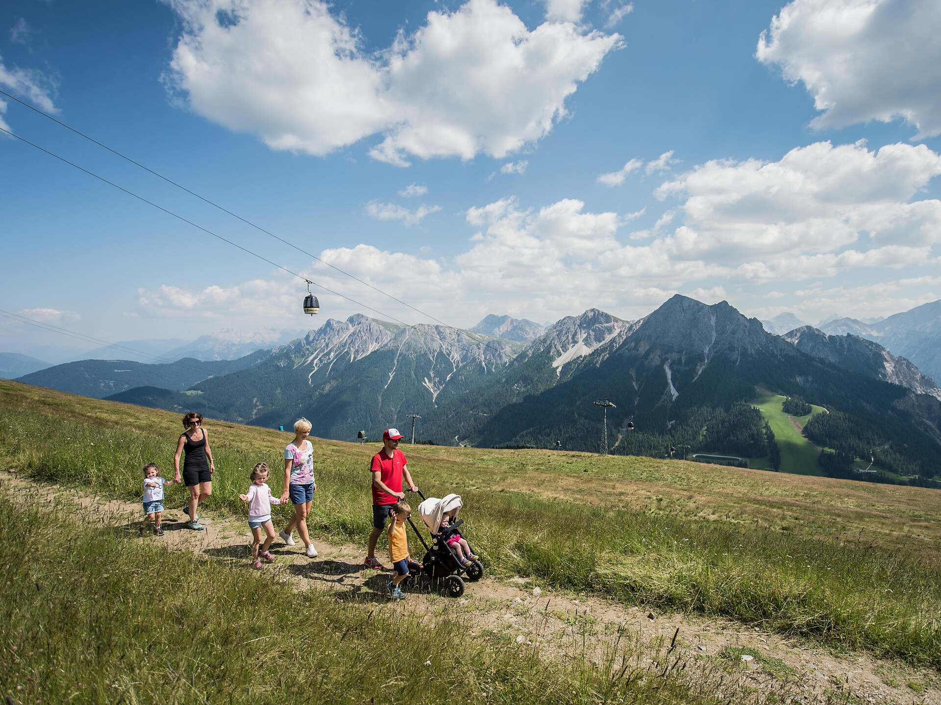


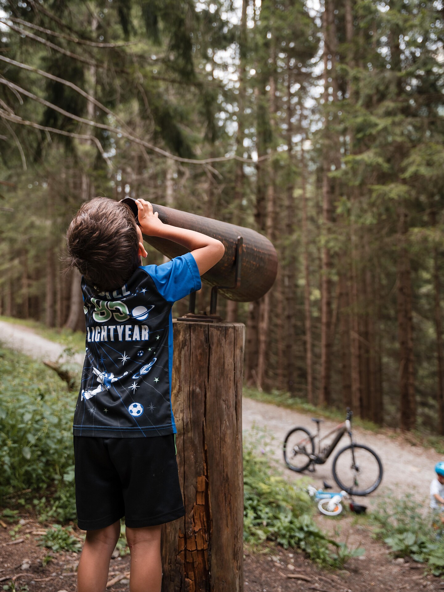

Pro děti je cesta cílem. Od procházek mořem květů jabloní v kraji kolem Bolzana/Bozenu, Merana a Brixenu/Bressanone po nezapomenutelné přenocování na horské chatě v oblasti Dolomit nebo v regionu Kronplatz: Spousta cílů a tras v Jižním Tyrolsku nadchne dospělé i děti.
Themed Hikes
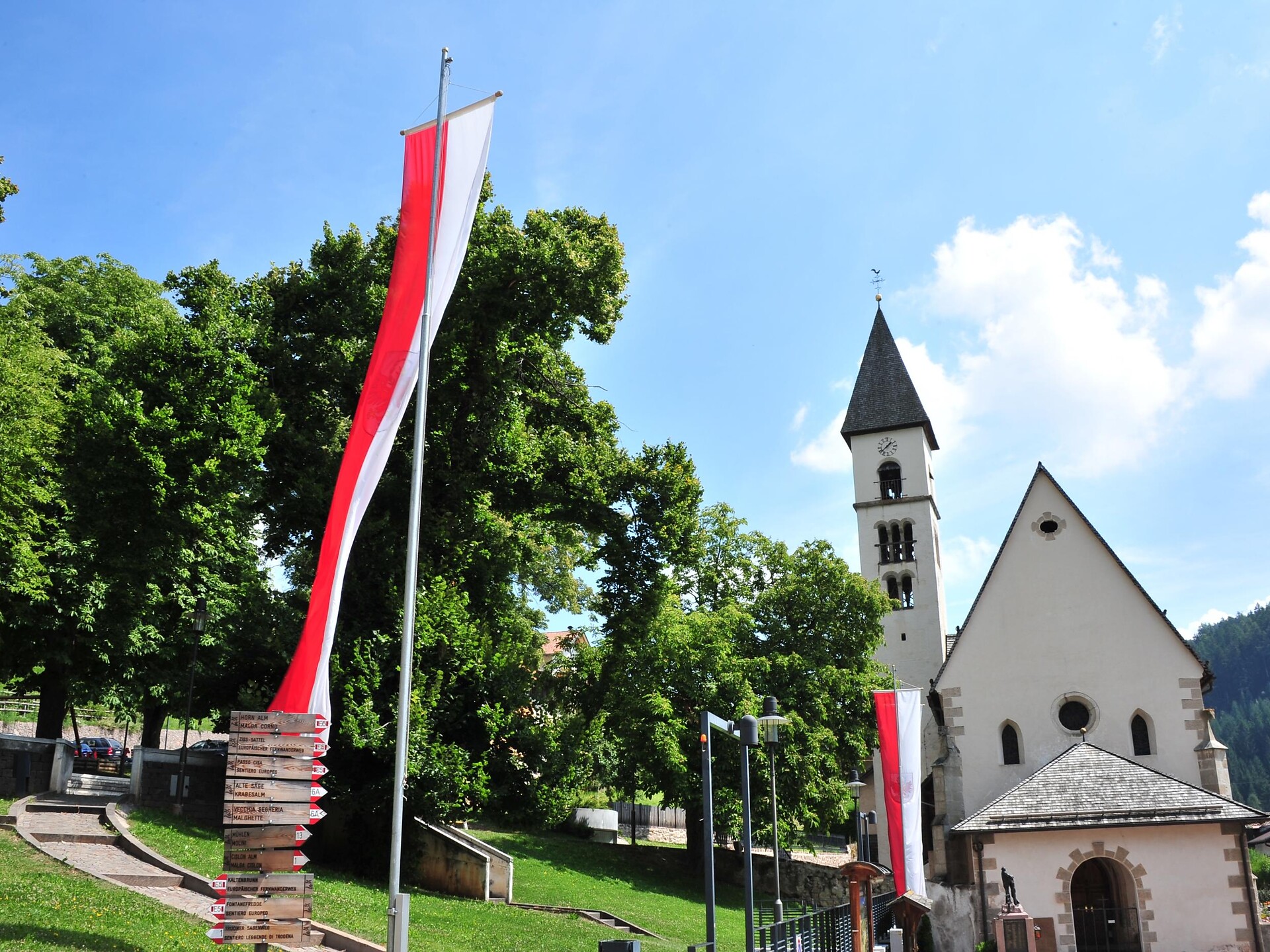
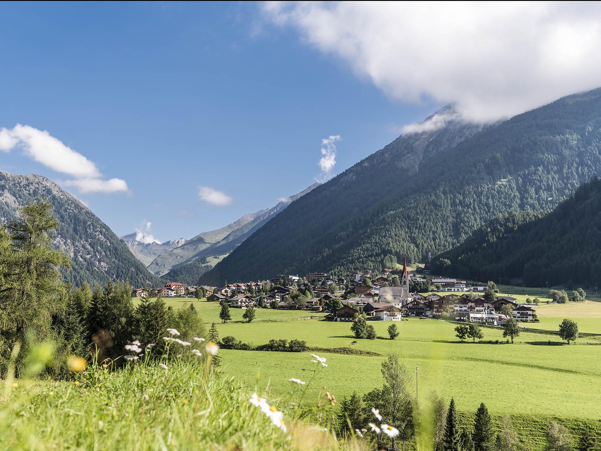
Truden/Trodena
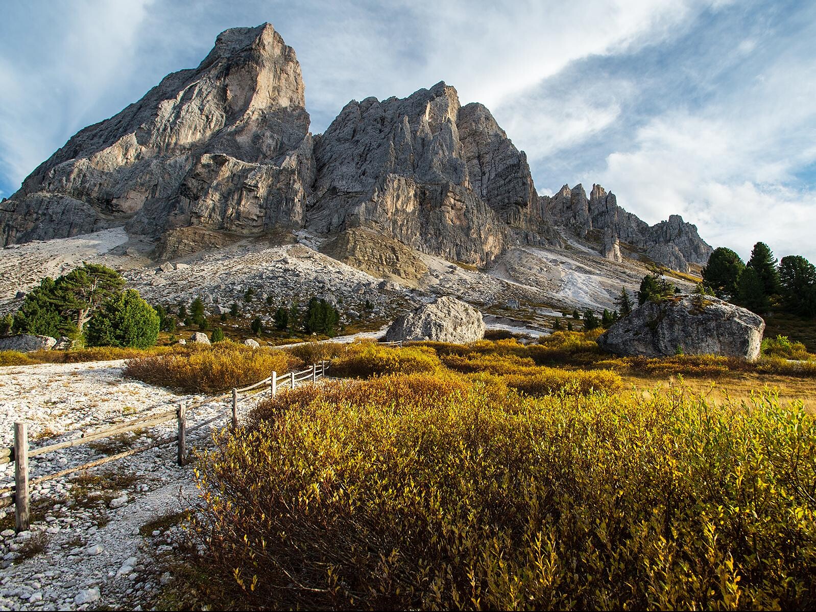
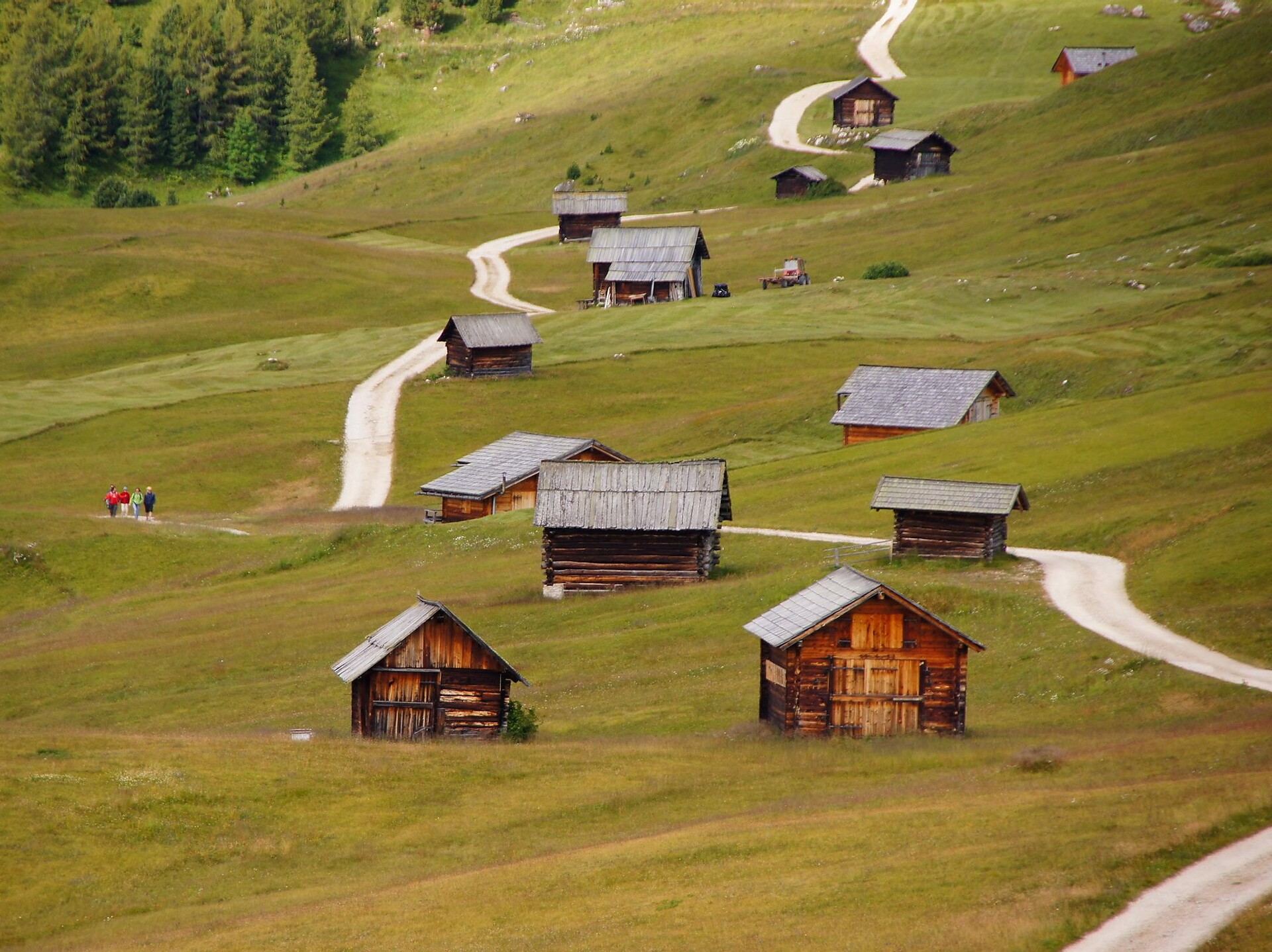
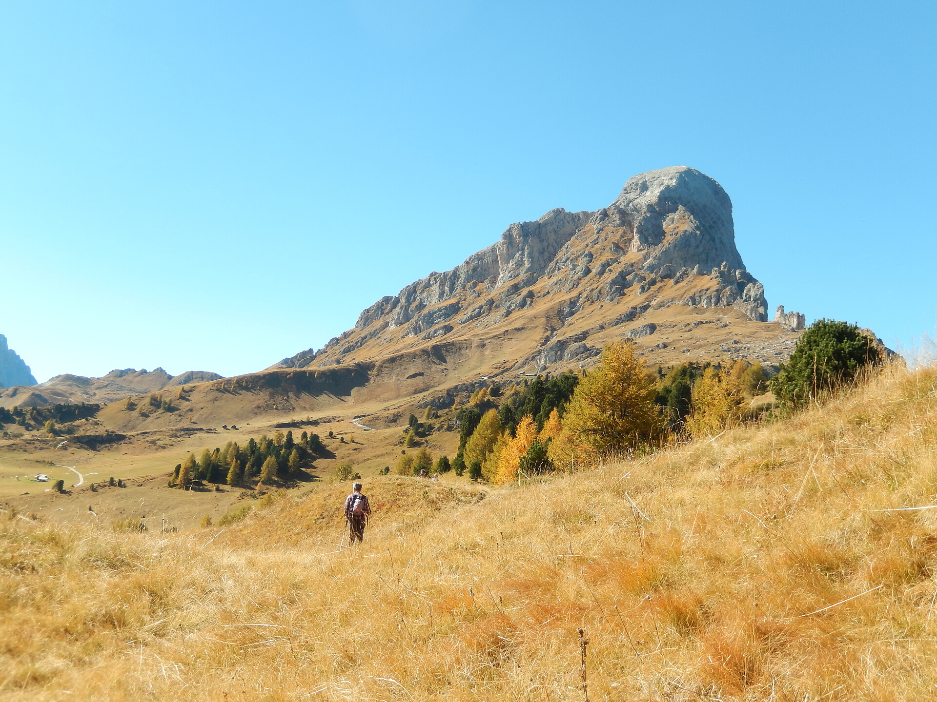
When you take the so-called Solder Hiking Trail, you will start in the village center of Truden to the "Leger" outlook platform. You will pass by the Jäger Cross, and then proceed along the staircase. Suddenly, you will find yourself amidst spectacular alpine scenery where dwarf pines, alpine rhododendrons, the dryas, and other plant species dominate the landscape. From the "Hochwand," you can admire a vast and beautiful panorama. Continue on your way until you come to the Cisloner Alm (managed). From there, you proceed along the trail – similar to a balcony ("Solder" is Tyrolean for "balcony"). You will pass by several great outlook points as you return to the village center.


