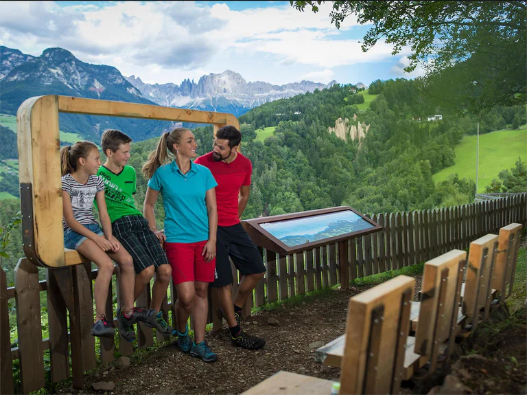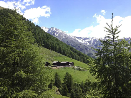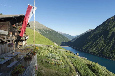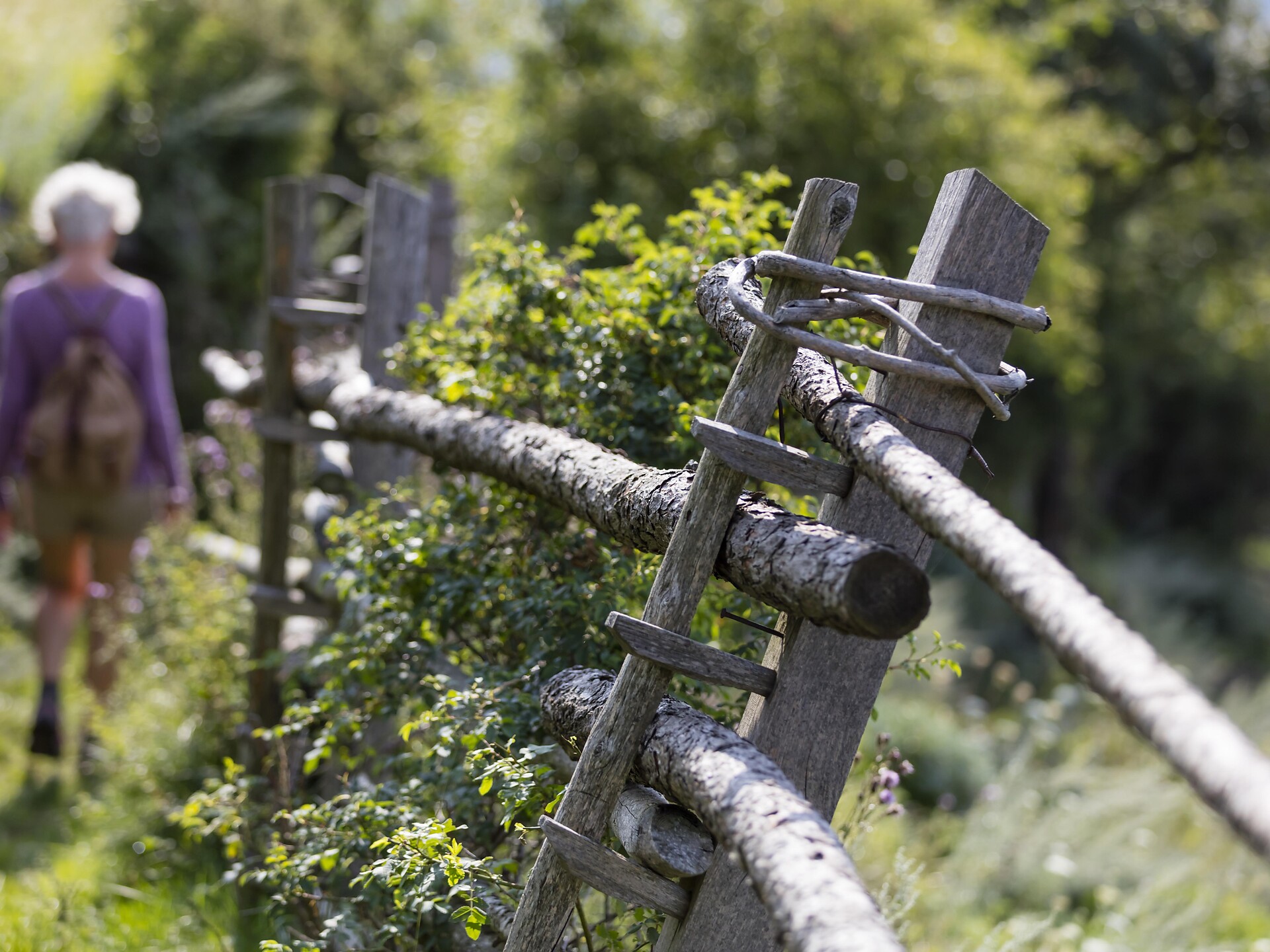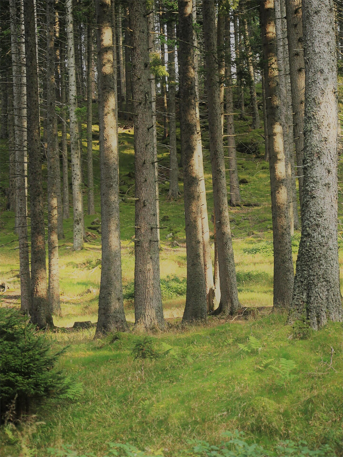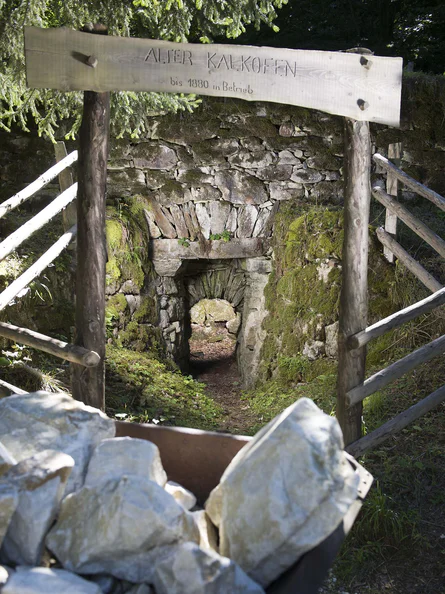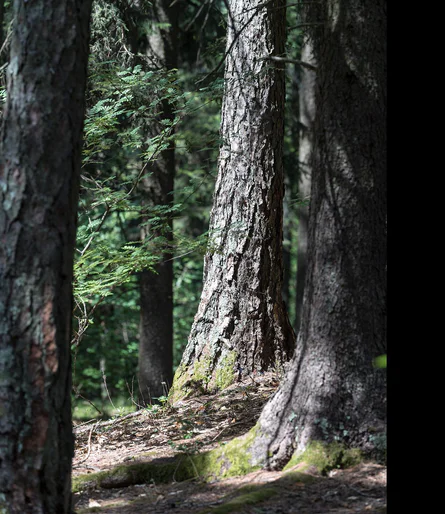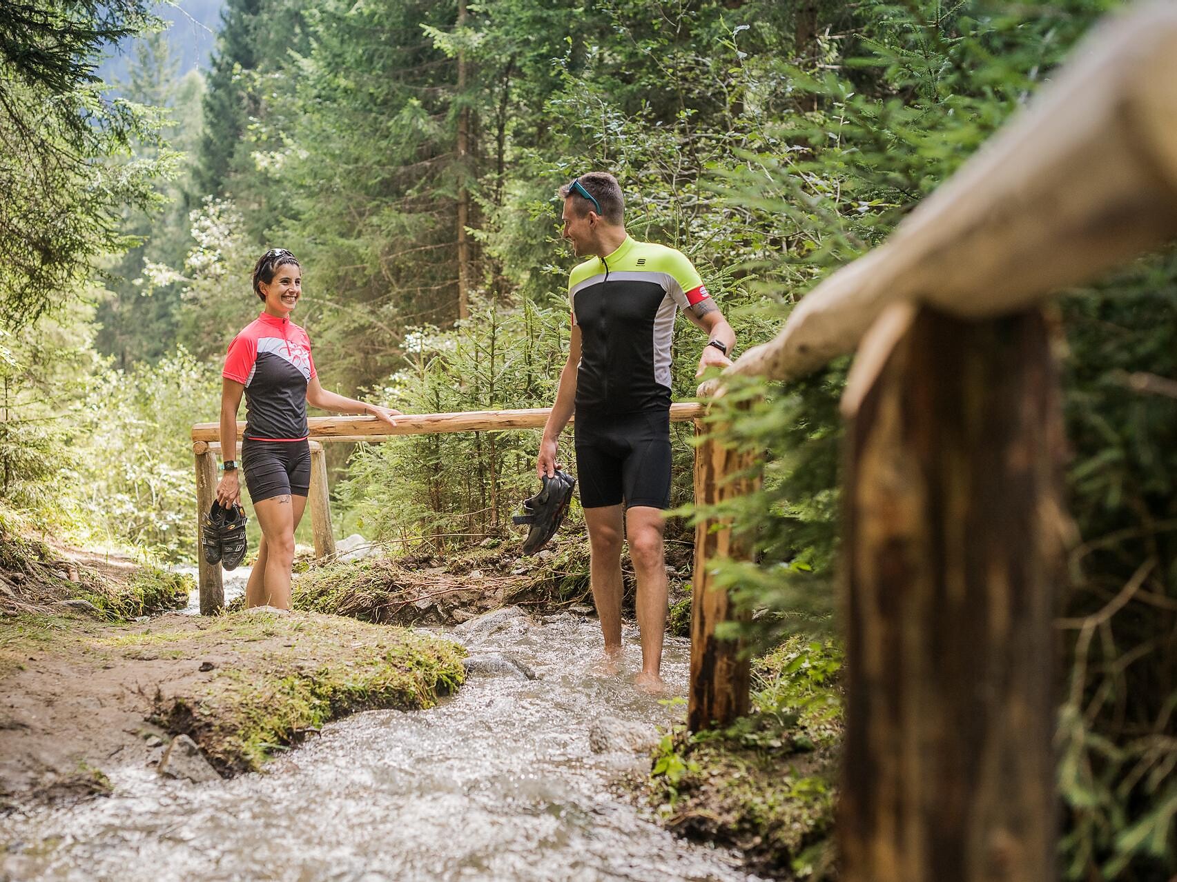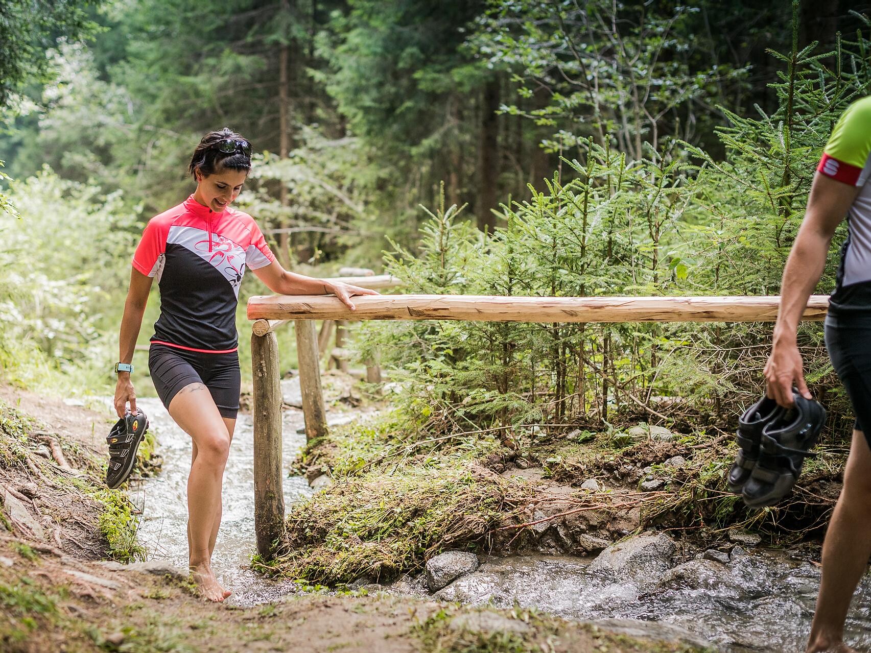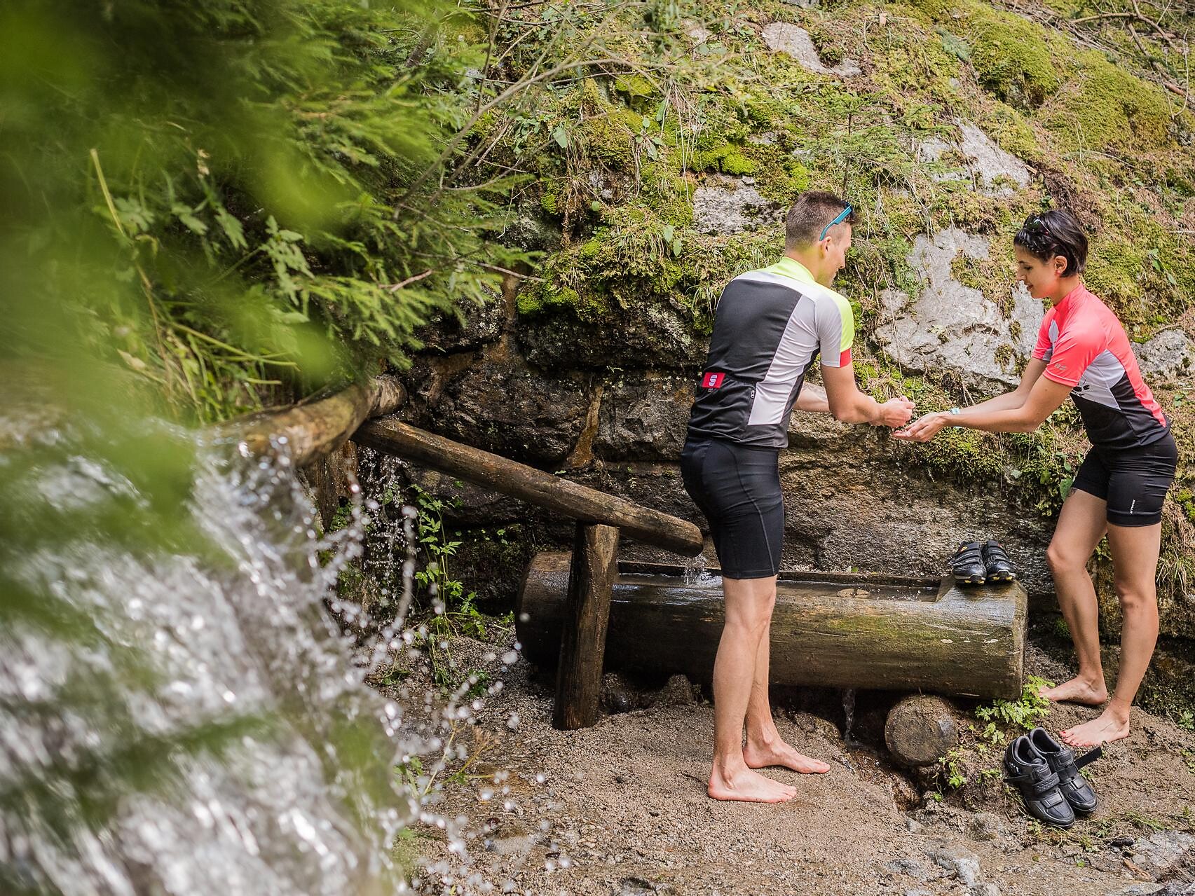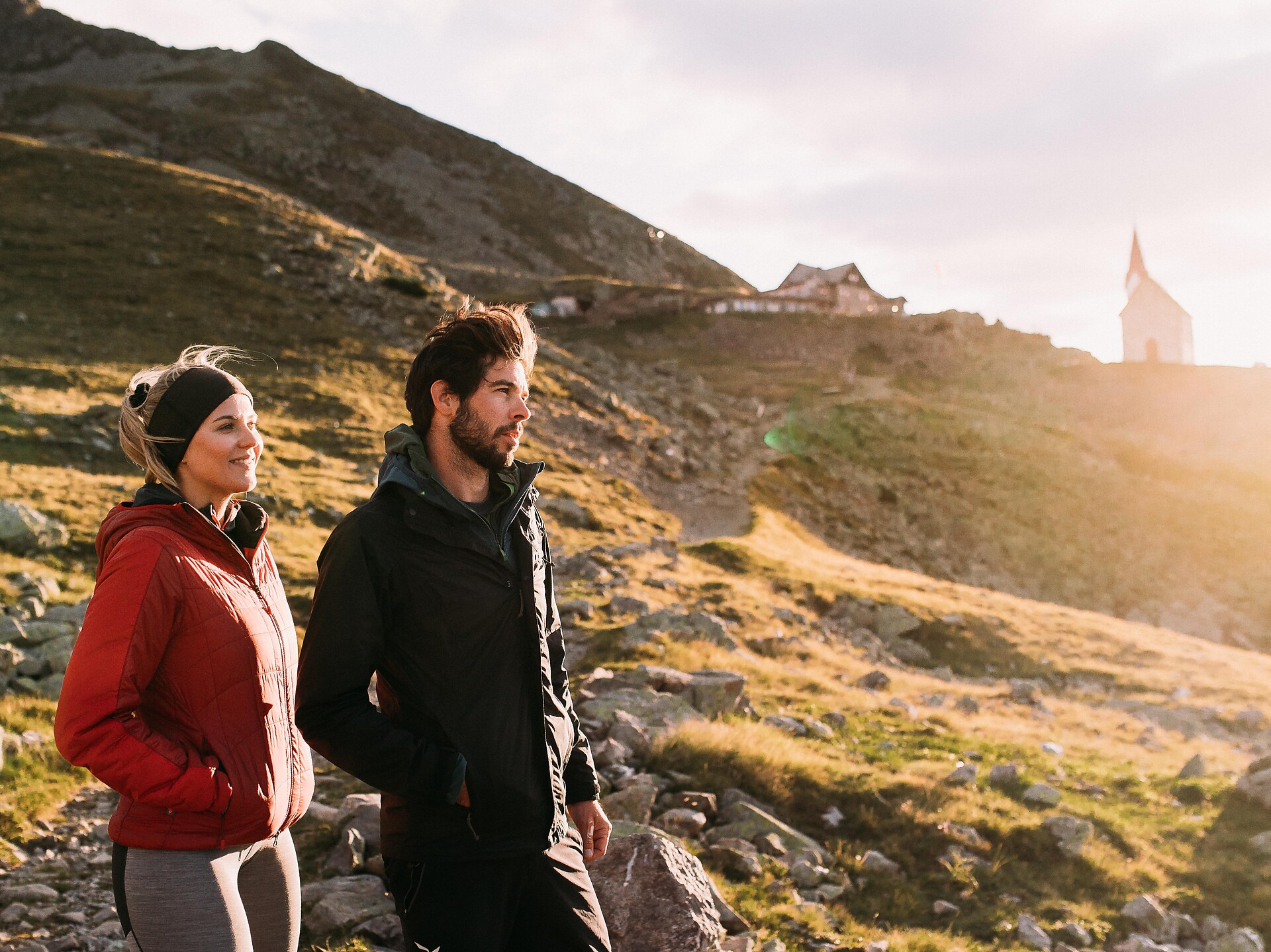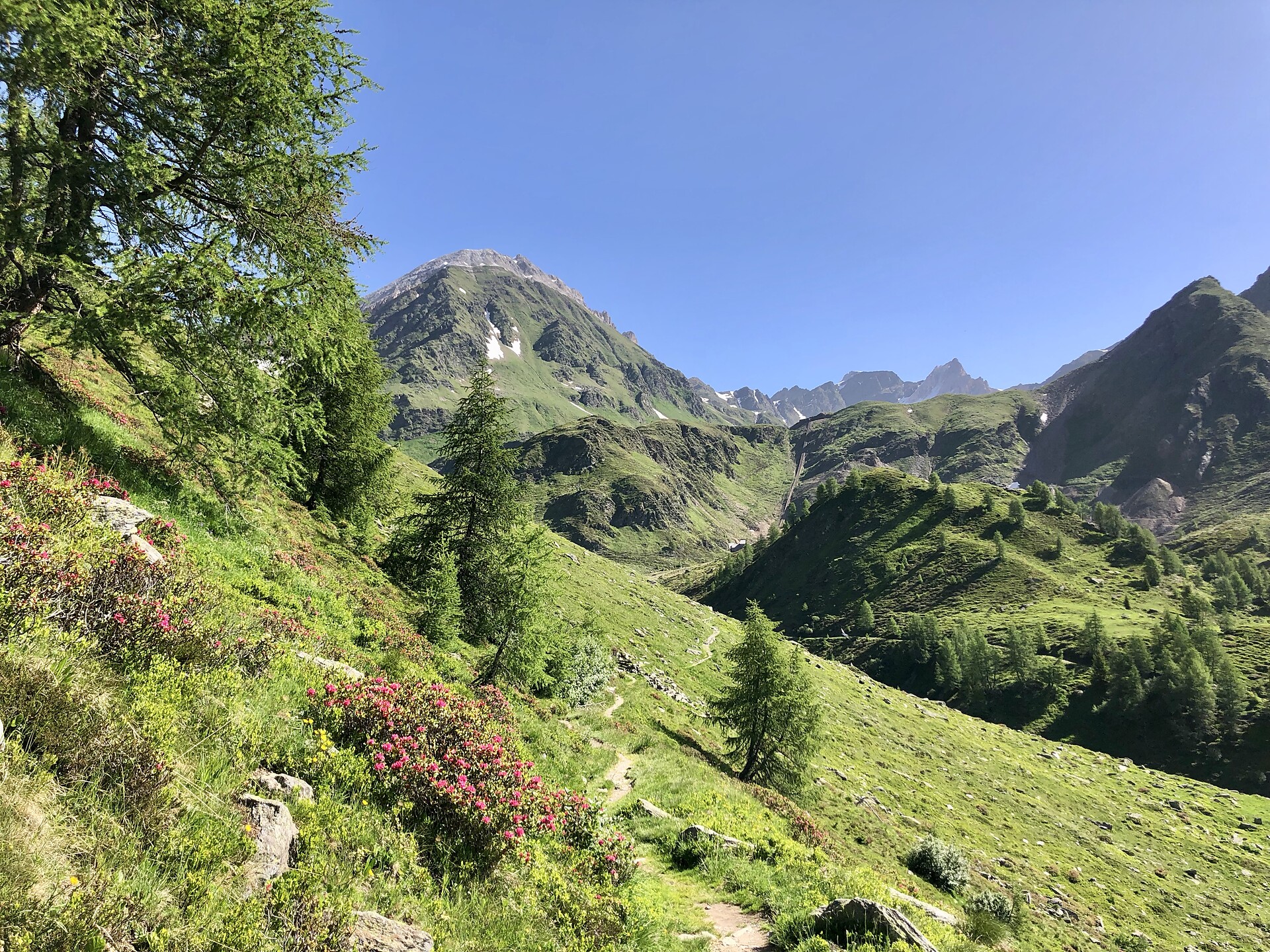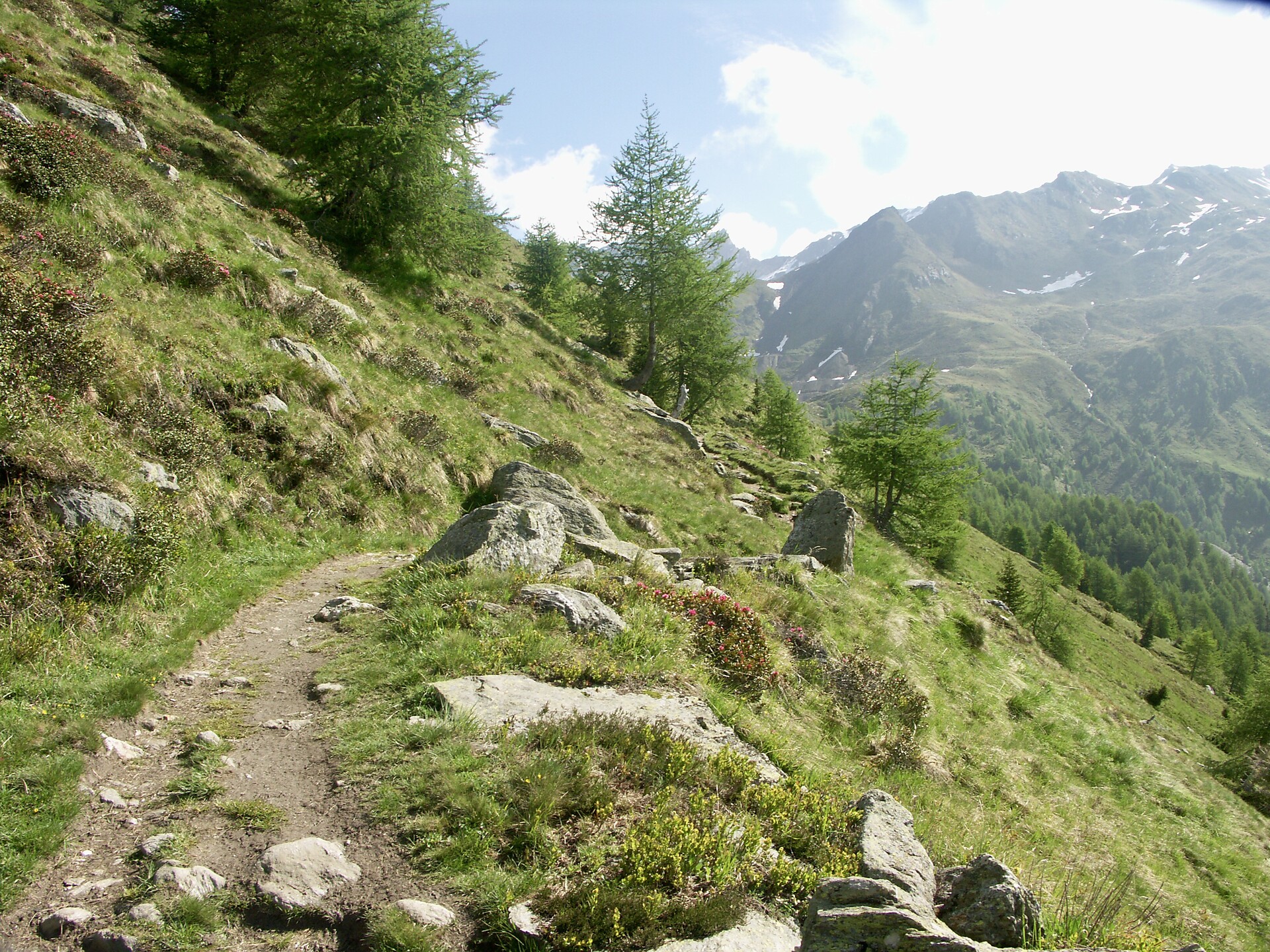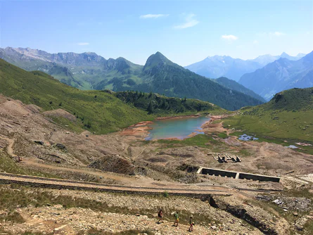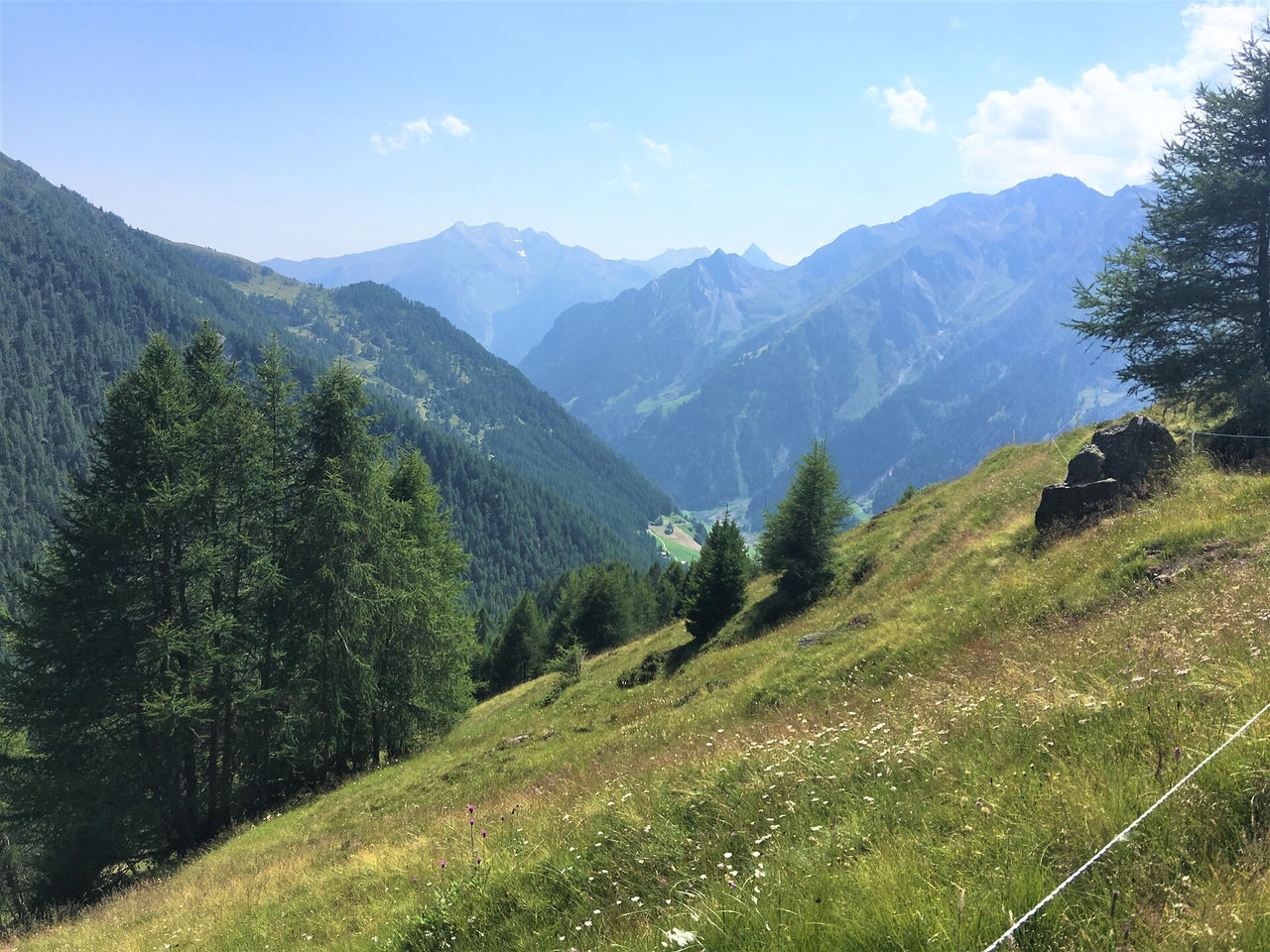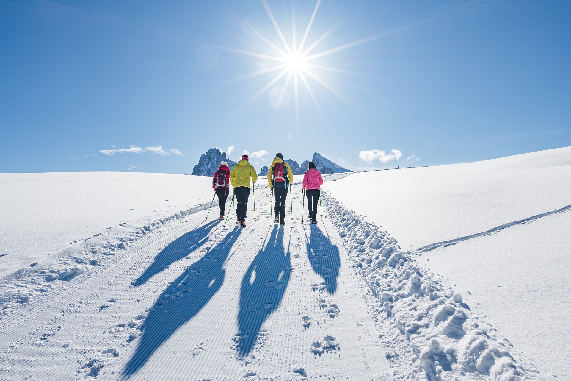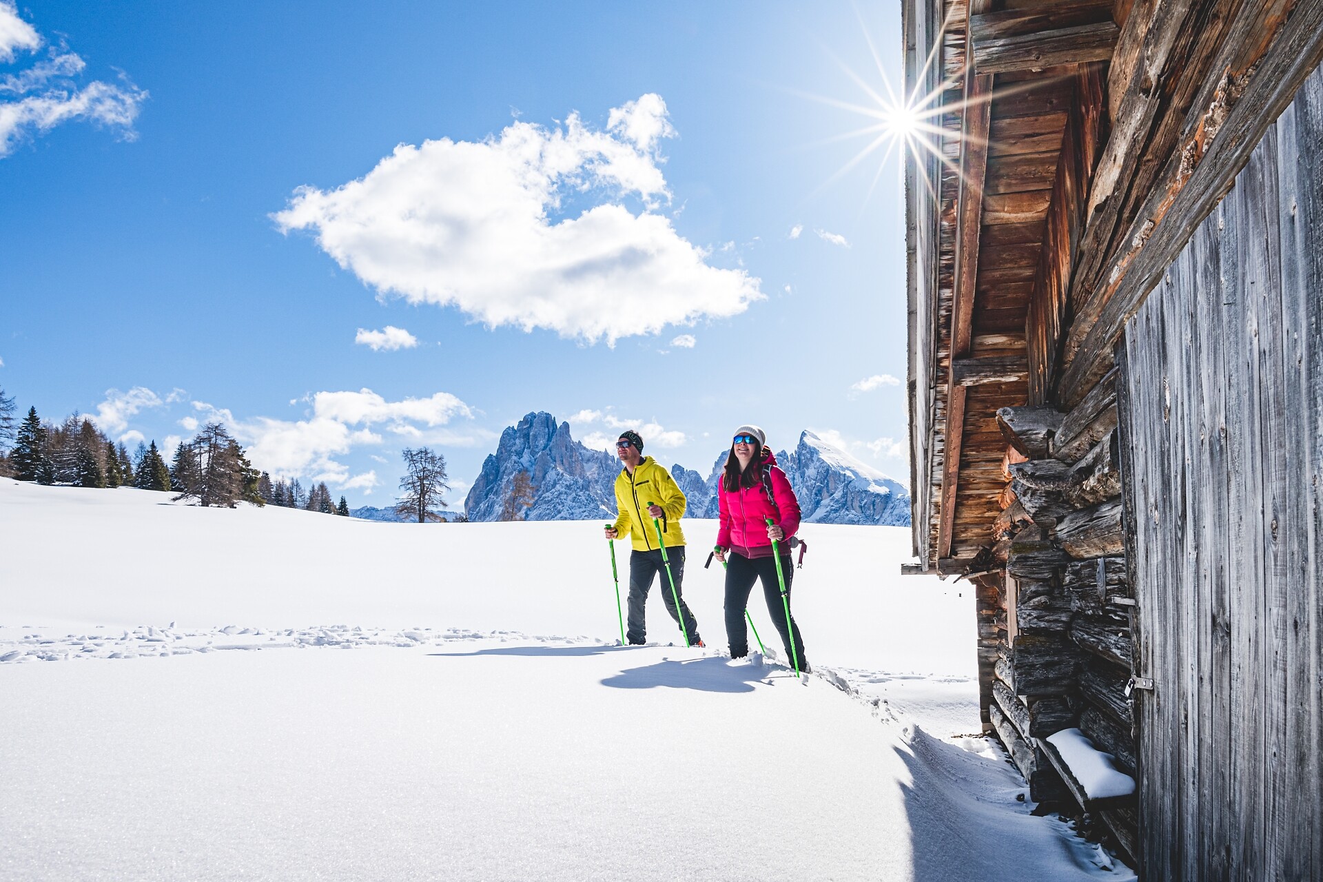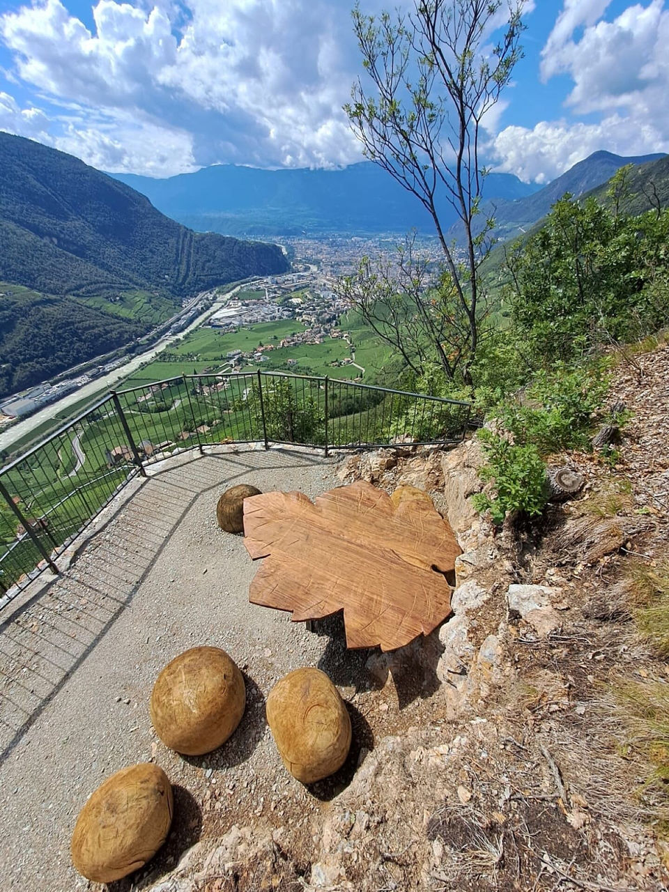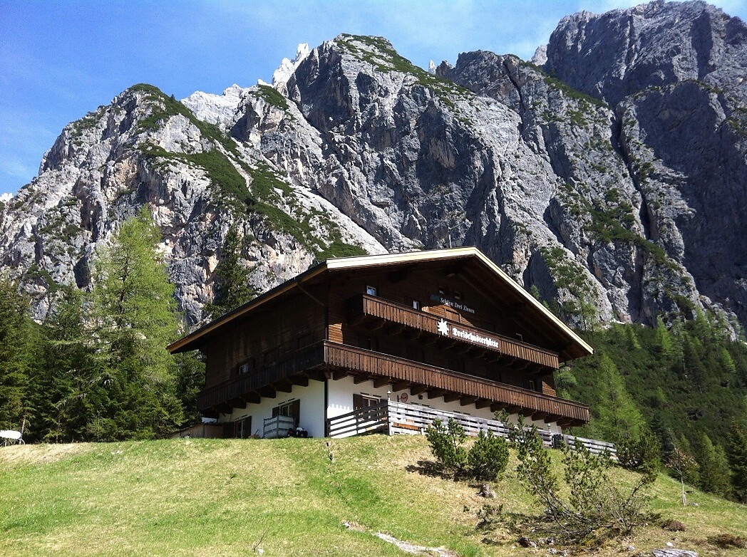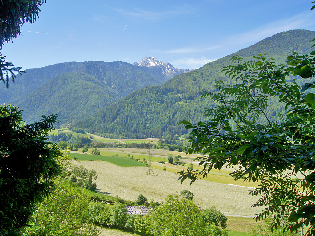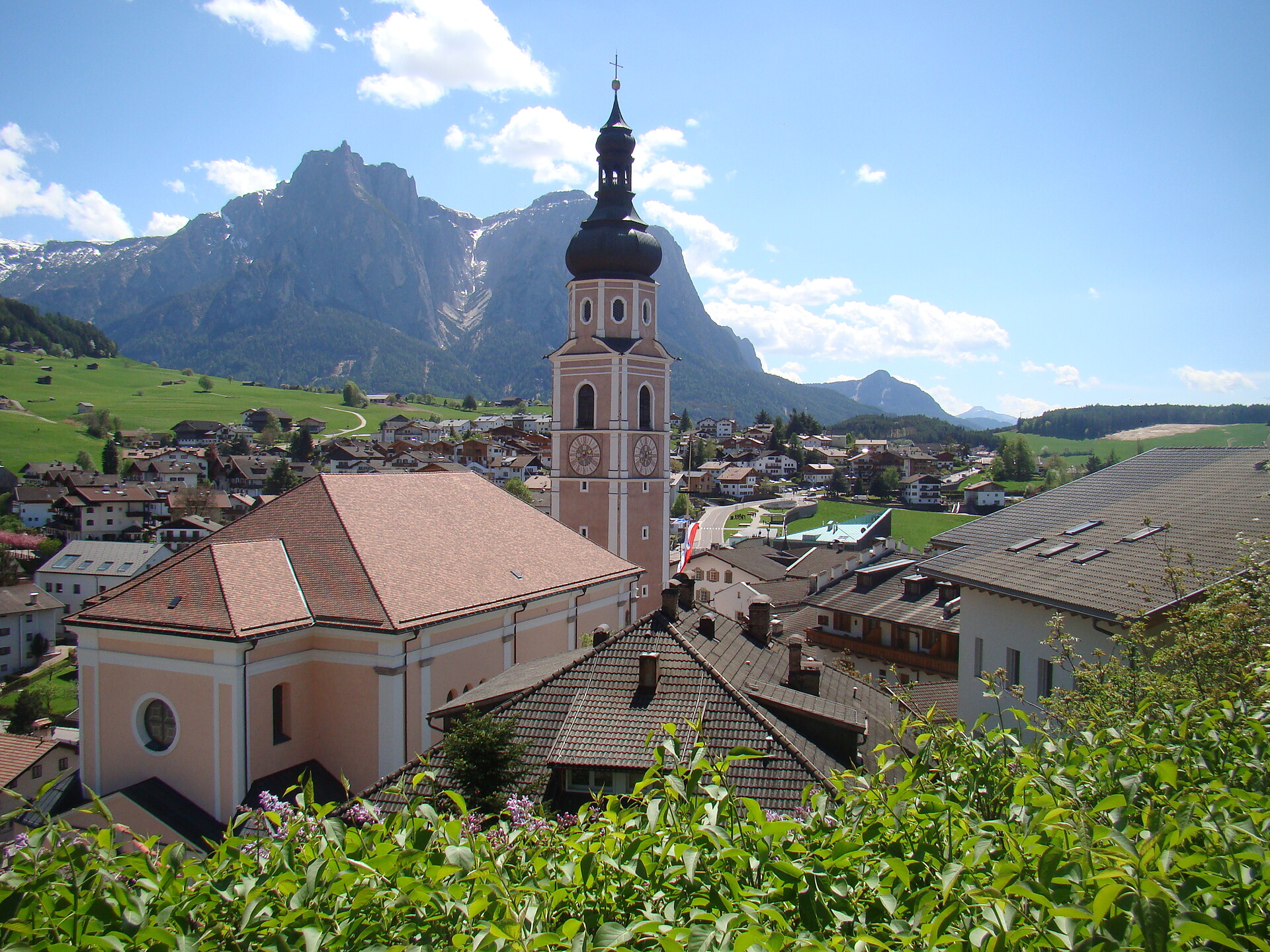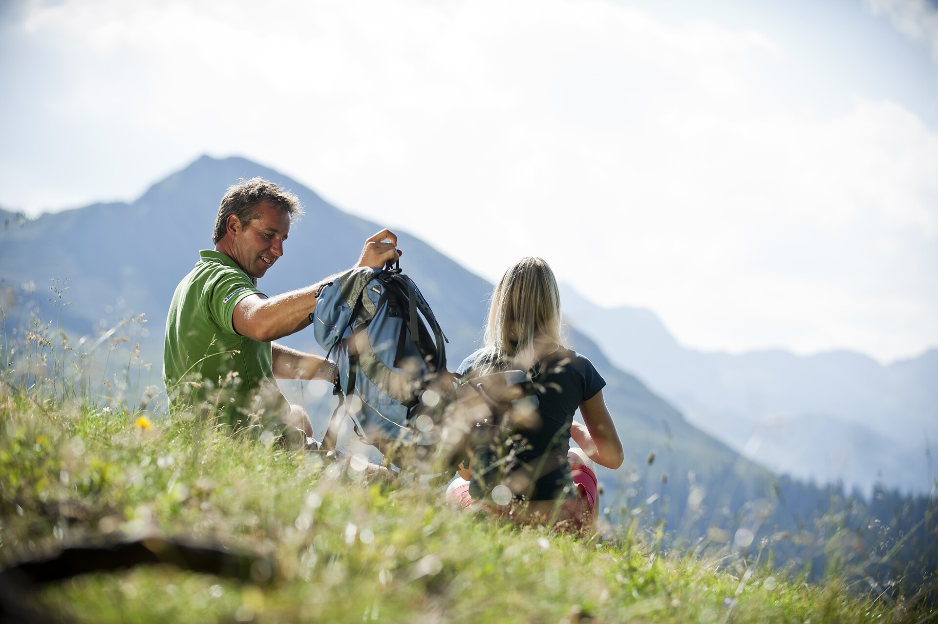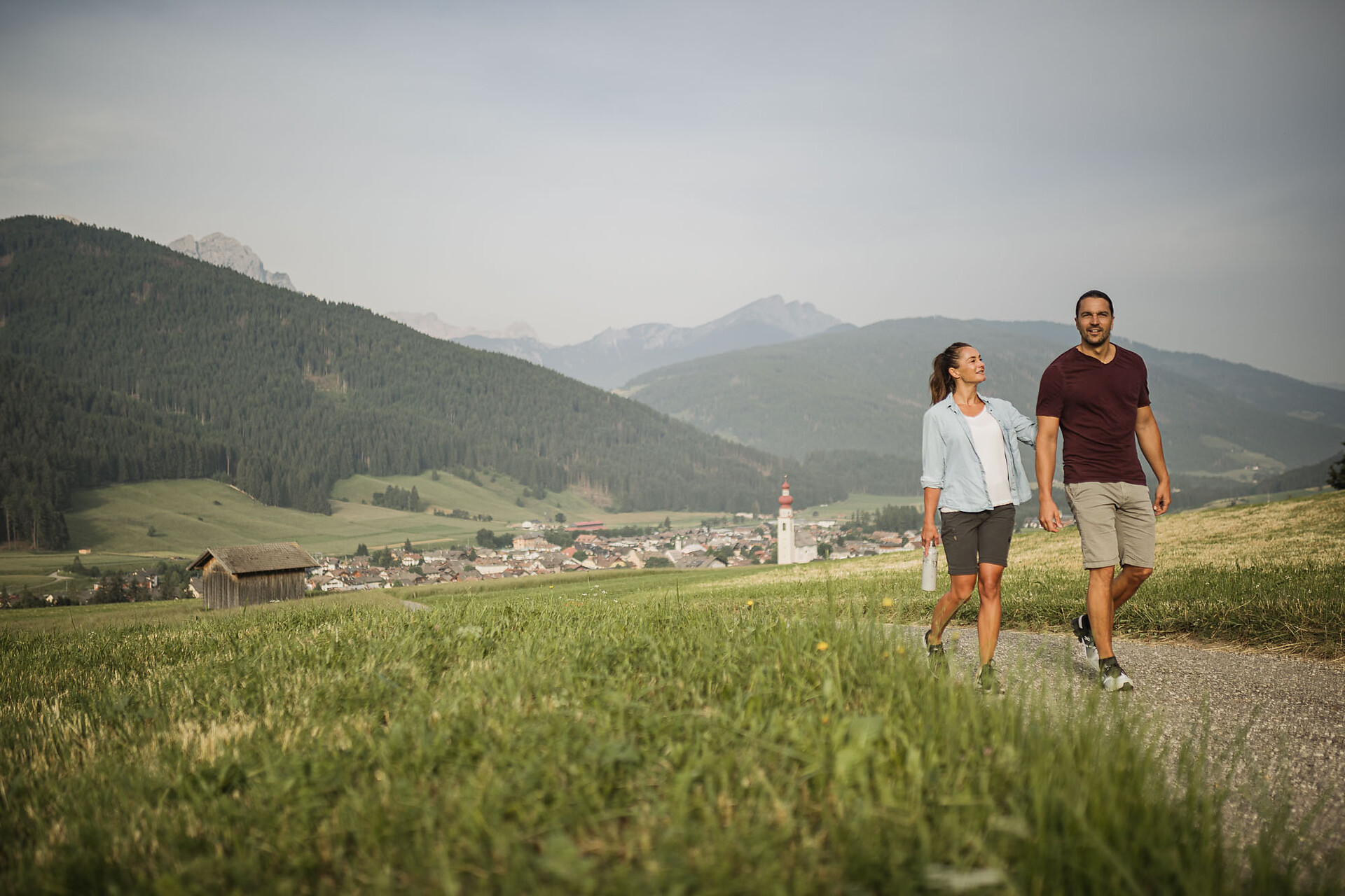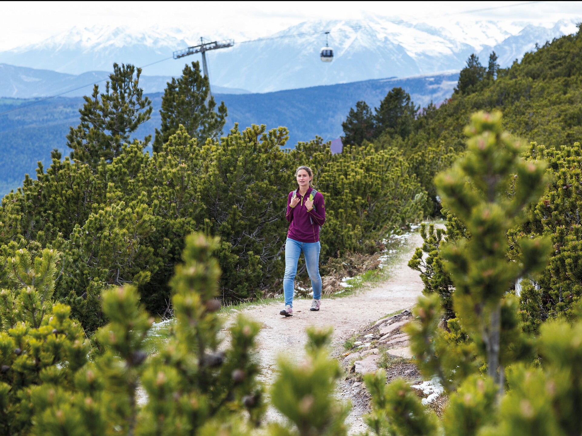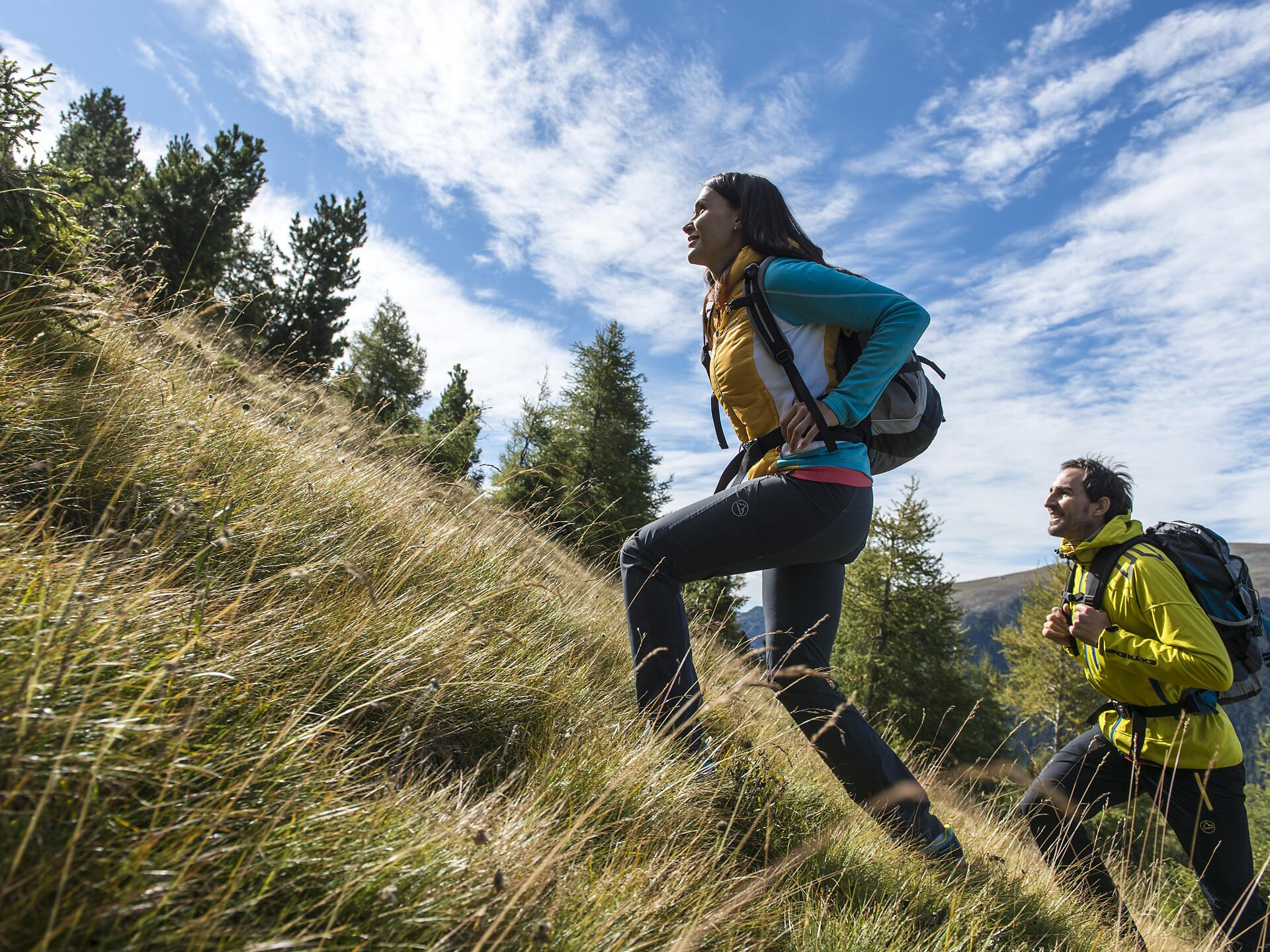

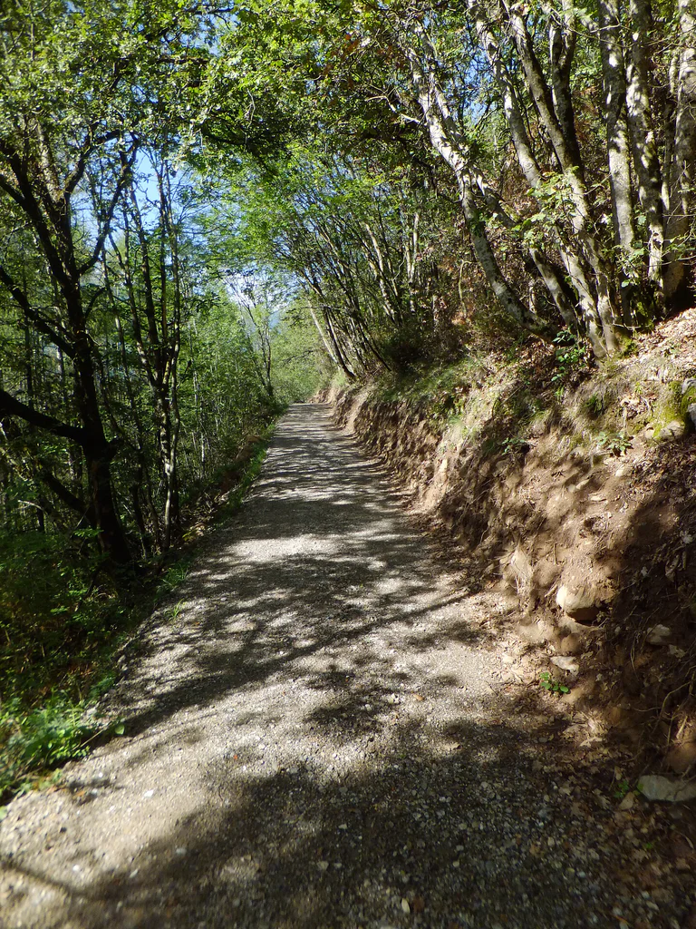
The climatic terrain cure is a special form of exercise therapy characterised by activity adapted to one’s fitness level, endurance training, and time spent in the outdoors experiencing the landscape, which is carried out through a personalised walking programme.
So-called terrain hiking improves endurance and agility, increases speed and flexibility, reinforces the cardiovascular system, stimulates breathing activity and strengthens muscles, ligaments and joints. It has a positive impact on the metabolism, activates the digestive system and noticeably increases the expenditure of calories.
The climatic terrain cure is recommended for functional cardiovascular disorders, respiratory and metabolic disorders, and above all is a tried and tested method of primary prevention and general health promotion.
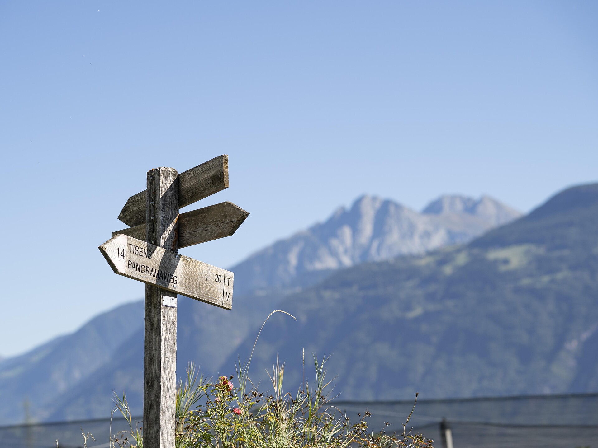
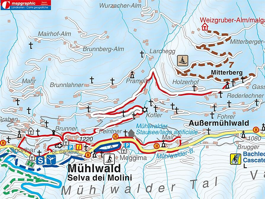
The "Terrainkur" trails in Partschins/Parcines have been certified by the Ludwig-Maximilians-University of Munich.