
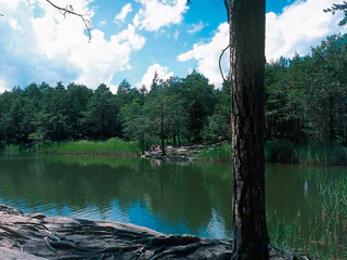
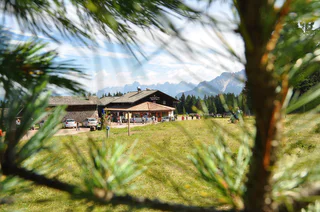
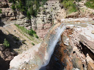
Penone – Hirschbettweiher- Penone
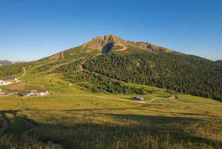
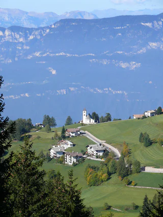
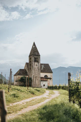
Magrè s.S.d.V./Margreid a.d.W., Kurtatsch an der Weinstraße/Cortaccia sulla Strada del Vino, Alto Adige Wine Road
medium
Moeilijkheidsgraad
0 m
Hoogteverschil
1h:04 min
Duur
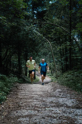
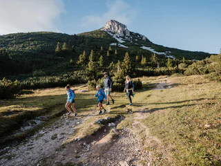
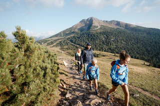
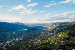
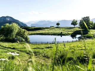
Te midden van een adembenemend natuurlandschap biedt het zuiden van Zuid-Tirol talrijke wandelroutes die door dichte bossen, bloeiende weiden en schilderachtige wijngaarden leiden. Of je nu van een ontspannen wandeling houdt of een uitdagende tocht zoekt – hier vind je de perfecte route voor jouw wandelavontuur.
Magrè s.S.d.V./Margreid a.d.W., Kurtatsch an der Weinstraße/Cortaccia sulla Strada del Vino, Alto Adige Wine Road
medium
Moeilijkheidsgraad
0 m
Hoogteverschil
1h:04 min
Duur
1/2
Redagno/Radein, Aldein/Aldino
easy
Moeilijkheidsgraad
166 m
Hoogteverschil
1h:30 min
Duur
1/2
Aldino/Aldein, Aldein/Aldino
easy
Moeilijkheidsgraad
225 m
Hoogteverschil
1h:58 min
Duur
1/4
Radein/Redagno, Aldein/Aldino
difficult
Moeilijkheidsgraad
3700 m
Hoogteverschil
23h:04 min
Duur
1/3
Mazzon/Mazon, Neumarkt/Egna, Alto Adige Wine Road
difficult
Moeilijkheidsgraad
1408 m
Hoogteverschil
7h:00 min
Duur
1/3
Redagno/Radein, Aldein/Aldino
easy
Moeilijkheidsgraad
157 m
Hoogteverschil
1h:30 min
Duur
1/7
Redagno/Radein, Aldein/Aldino
medium
Moeilijkheidsgraad
364 m
Hoogteverschil
2h:15 min
Duur

1/2
Salorno/Salurn, Alto Adige Wine Road
easy
Moeilijkheidsgraad
115 m
Hoogteverschil
0h:30 min
Duur
Cortina s.s.d.V./Kurtinig, Salorno/Salurn, Alto Adige Wine Road
medium
Moeilijkheidsgraad
382 m
Hoogteverschil
2h:43 min
Duur
1/2
Radein/Redagno, Aldein/Aldino
difficult
Moeilijkheidsgraad
3699 m
Hoogteverschil
23h:04 min
Duur
1/5
Aldino/Aldein, Aldein/Aldino
medium
Moeilijkheidsgraad
18 m
Hoogteverschil
1h:46 min
Duur
1/4
Mazon/Mazzon, Neumarkt/Egna, Alto Adige Wine Road
medium
Moeilijkheidsgraad
763 m
Hoogteverschil
3h:42 min
Duur
1/7
Laghetti/Laag, Neumarkt/Egna, Alto Adige Wine Road
medium
Moeilijkheidsgraad
661 m
Hoogteverschil
4h:40 min
Duur
1/3
Trodena/Truden, Truden/Trodena
easy
Moeilijkheidsgraad
0 m
Hoogteverschil
1h:00 min
Duur
1/5
Pietralba/Weissenstein, Aldein/Aldino
easy
Moeilijkheidsgraad
630 m
Hoogteverschil
2h:49 min
Duur
1/4
Redagno/Radein, Aldein/Aldino
medium
Moeilijkheidsgraad
355 m
Hoogteverschil
1h:38 min
Duur
Laghetti/Laag, Montan/Montagna, Alto Adige Wine Road
medium
Moeilijkheidsgraad
376 m
Hoogteverschil
3h:28 min
Duur
1/5
Redagno/Radein, Aldein/Aldino
medium
Moeilijkheidsgraad
404 m
Hoogteverschil
3h:34 min
Duur
1/6
Rungg/Ronchi - Tramin/Termeno, Kurtatsch an der Weinstraße/Cortaccia sulla Strada del Vino, Alto Adige Wine Road
easy
Moeilijkheidsgraad
21 m
Hoogteverschil
1h:00 min
Duur
Altrei/Anterivo
medium
Moeilijkheidsgraad
429 m
Hoogteverschil
2h:55 min
Duur
1/11
Anterivo/Altrei, Altrei/Anterivo
medium
Moeilijkheidsgraad
367 m
Hoogteverschil
3h:25 min
Duur
1/3
Redagno/Radein, Aldein/Aldino
difficult
Moeilijkheidsgraad
590 m
Hoogteverschil
4h:00 min
Duur
1/6
Mazzon/Mazon, Neumarkt/Egna, Alto Adige Wine Road
easy
Moeilijkheidsgraad
228 m
Hoogteverschil
1h:33 min
Duur
1/5
San Lugano/San Lugano, Truden/Trodena
medium
Moeilijkheidsgraad
360 m
Hoogteverschil
2h:23 min
Duur
Aldino/Aldein, Aldein/Aldino
easy
Moeilijkheidsgraad
391 m
Hoogteverschil
3h:23 min
Duur

1/4
Ora/Auer, Auer/Ora, Alto Adige Wine Road
medium
Moeilijkheidsgraad
607 m
Hoogteverschil
4h:49 min
Duur
1/3
Anterivo/Altrei, Altrei/Anterivo
medium
Moeilijkheidsgraad
501 m
Hoogteverschil
3h:19 min
Duur
Fontanefredde/Kaltenbrunn, Altrei/Anterivo
medium
Moeilijkheidsgraad
372 m
Hoogteverschil
2h:51 min
Duur
Pinzano/Pinzon, Aldein/Aldino
medium
Moeilijkheidsgraad
980 m
Hoogteverschil
3h:51 min
Duur
Magrè s.S.d.V./Margreid a.d.W., Kurtatsch an der Weinstraße/Cortaccia sulla Strada del Vino, Alto Adige Wine Road
medium
Moeilijkheidsgraad
1058 m
Hoogteverschil
3h:38 min
Duur
Bedankt voor je inschrijving!
Inschrijving al actief
Bevestig je inschrijving
Om je inschrijving te voltooien, open de e-mail die we je net hebben gestuurd en klik op de bevestigingslink.
Niet gevonden? Kijk ook even in je spammap.
We hebben gezien dat je je probeerde aan te melden voor de nieuwsbrief, maar je e-mailadres is al geregistreerd. Je blijft onze aanbiedingen, tips en inspiratie voor je vakantie ontvangen.
Je hebt je al geprobeerd in te schrijven voor onze nieuwsbrief maar deze nog niet bevestigd. We hebben je de e‑mail zojuist opnieuw gestuurd. Controleer je inbox en je spammap en bevestig nu.


