1/2
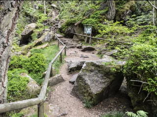
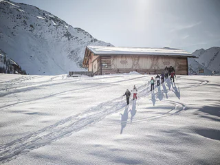
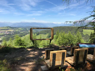
Hike to the view point Titschenwarte
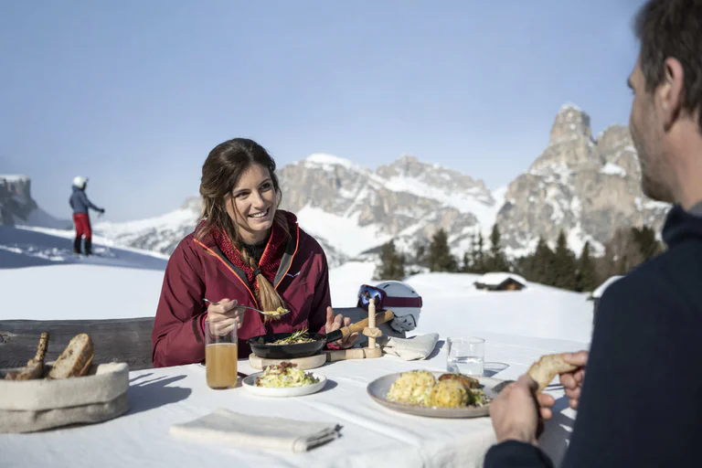
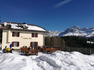
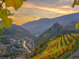
Colle/Kohlern, Bolzano/Bozen, Bolzano/Bozen and environs
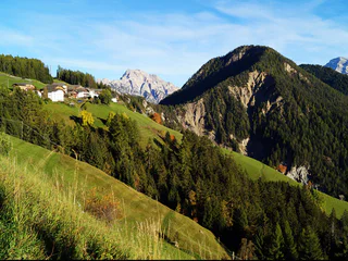
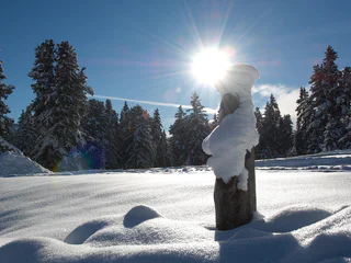
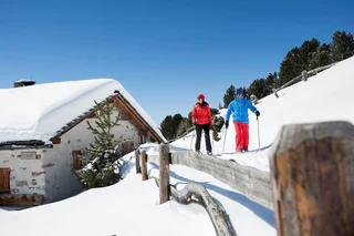
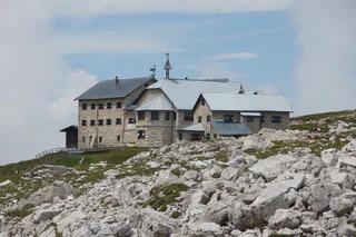
The sun is out, you’re fully packed – now where do you want to go? The peaks, pinnacles and towers of the Dolomites gleam invitingly in the morning light. Are they even more beautiful from the summit? The valleys are criss-crossed with trails through vineyards and apple orchards, past imposing castles, around enchanting lakes and along the Waalweg canal trails. South Tyrol has more than 16,000 km of signposted hiking trails that run through the ever-changing natural landscape, including themed trails, multi-day tours and high-Alpine trails.
1/2
Colle/Kohlern, Bolzano/Bozen, Bolzano/Bozen and environs
1/2
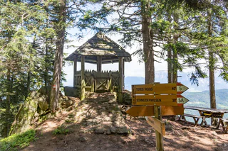
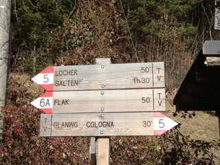
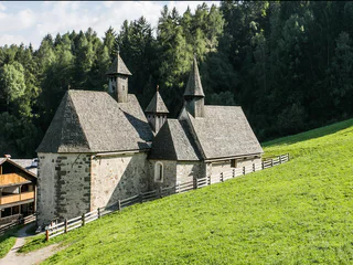
Cologna/Glaning, Jenesien/San Genesio Atesino, Bolzano/Bozen and environs
1/2
San Vigilio, San Martin /San Martino, Dolomites Region Kronplatz/Plan de Corones
1/2
S. Maddalena/St. Magdalena - Funes/Villnöss, Villnöss/Funes, Dolomites Region Villnösstal

Ridanna/Ridnaun, Ratschings/Racines, Sterzing/Vipiteno and environs
Sesto/Sexten, Sexten/Sesto, Dolomites Region 3 Zinnen
1/7
Sëlva/Selva di Val Gardena, S.Crestina Gherdëina/Santa Cristina Val Gardana, Dolomites Region Val Gardena
Nova Ponente Centro/Deutschnofen Dorf, Deutschnofen/Nova Ponente, Dolomites Region Eggental
Fleres/Pflersch, Brenner/Brennero, Sterzing/Vipiteno and environs
1/3
Cermes/Tscherms, Tscherms/Cermes, Meran/Merano and environs
Moos/S.Giuseppe, Sexten/Sesto, Dolomites Region 3 Zinnen
1/5
Alpe di Rodengo/Rodenecker Alm, Rodeneck/Rodengo, Brixen/Bressanone and environs
1/12
Caldaro Paese/Kaltern Dorf, Kaltern an der Weinstraße/Caldaro sulla Strada del Vino, Alto Adige Wine Road
Nove Case/Neunhäusern, Welsberg-Taisten/Monguelfo-Tesido
1/2
Aldino/Aldein, Aldein/Aldino
1/3
Ortisei/Urtijëi/St. Ulrich/Urtijëi, Urtijëi/Ortisei, Dolomites Region Val Gardena
1/4
Siusi/Seis, Kastelruth/Castelrotto, Dolomites Region Seiser Alm
1/3
Nova Levante/Welschnofen, Welschnofen/Nova Levante, Dolomites Region Eggental
S.Giuseppe/Moos, Sexten/Sesto, Dolomites Region 3 Zinnen
Tirolo/Tirol, Tirol/Tirolo, Meran/Merano and environs
Valdaora di Mezzo/Mitterolang, Olang/Valdaora, Dolomites Region Kronplatz/Plan de Corones
1/2
Alpe di Villandro/Villanderer Alm, Villanders/Villandro, Brixen/Bressanone and environs
Monte S. Vigilio/Vigiljoch, Lana, Meran/Merano and environs
1/8
Signato/Signat, Ritten/Renon, Bolzano/Bozen and environs
Villabassa/Niederdorf
1/3
Casere/Kasern, Prettau/Predoi, Ahrntal/Valle Aurina
1/2
Verdignes/Verdings, Klausen/Chiusa, Brixen/Bressanone and environs

1/4
Vallesina/Versein, Mölten/Meltina, Bolzano/Bozen and environs
1/2
Ega/Eggen, Deutschnofen/Nova Ponente, Dolomites Region Eggental
Pochi/Buchholz, Salorno/Salurn, Alto Adige Wine Road
To complete your subscription, open the email we just sent you and click on the confirmation link.
Can’t find it? Check your spam folder too.
We noticed that you are already subscribed to our Newsletter. We will update you on exclusive offers, fun adventures and more so you can make the best out of your vacation.
We noticed that you already tried to subscribe to our Newsletter in the past but didn’t confirmed the subscription. We have resent you an email now, please check your inbox and spam folder to confirm.