
Summer hiking - Altprags/Braies Vecchia - Putzalm hut
Braies di Fuori/Ausserprags, Niederdorf/Villabassa, Dolomites Region 3 Zinnen
medium
Poziom trudności
363 m
Wzlot
1h:11 min
czas trwania

Braies di Fuori/Ausserprags, Niederdorf/Villabassa, Dolomites Region 3 Zinnen
medium
Poziom trudności
363 m
Wzlot
1h:11 min
czas trwania
Tesido/Taisten, Welsberg-Taisten/Monguelfo-Tesido
easy
Poziom trudności
192 m
Wzlot
1h:23 min
czas trwania
1/3
Maranza/Meransen, Mühlbach/Rio di Pusteria, Brixen/Bressanone and environs
easy
Poziom trudności
253 m
Wzlot
1h:40 min
czas trwania
1/2
Cortaccia s.S.d.V./Kurtatsch, Kurtatsch an der Weinstraße/Cortaccia sulla Strada del Vino, Alto Adige Wine Road
medium
Poziom trudności
138 m
Wzlot
1h:00 min
czas trwania
Nova Ponente Centro/Deutschnofen Dorf, Deutschnofen/Nova Ponente, Dolomites Region Eggental
medium
Poziom trudności
0 m
Wzlot
4h:00 min
czas trwania
1/3
Aquaviva/Ackpfeif, Lana, Meran/Merano and environs
easy
Poziom trudności
20 m
Wzlot
2h:00 min
czas trwania

1/14
Tel/Töll, Partschins/Parcines, Meran/Merano and environs
medium
Poziom trudności
276 m
Wzlot
2h:30 min
czas trwania
Bressanone dintorni/Brixen Umland, Brixen/Bressanone, Brixen/Bressanone and environs
medium
Poziom trudności
0 m
Wzlot
3h:10 min
czas trwania
1/2
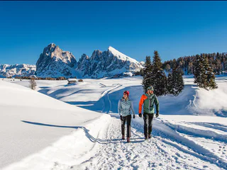
Alpe di Siusi/Seiseralm, Kastelruth/Castelrotto, Dolomites Region Seiser Alm
easy
Poziom trudności
160 m
Wzlot
2h:13 min
czas trwania
1/3
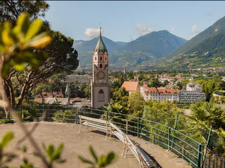
Merano/Meran, Meran/Merano, Meran/Merano and environs
easy
Poziom trudności
80 m
Wzlot
1h:00 min
czas trwania
1/2
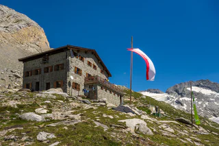
Fundres/Pfunders, Vintl/Vandoies, Sterzing/Vipiteno and environs
medium
Poziom trudności
1525 m
Wzlot
5h:45 min
czas trwania
Tirolo/Tirol, Tirol/Tirolo, Meran/Merano and environs
easy
Poziom trudności
223 m
Wzlot
1h:18 min
czas trwania
Moncucco/Giggelberg, Brenner/Brennero, Sterzing/Vipiteno and environs
medium
Poziom trudności
783 m
Wzlot
4h:30 min
czas trwania
1/2
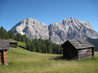
S. Pietro/St. Peter - Valle Aurina/Ahrntal, Ahrntal/Valle Aurina, Ahrntal/Valle Aurina
easy
Poziom trudności
380 m
Wzlot
1h:33 min
czas trwania
1/2
San Vigilio, Al Plan/San Vigilio, Dolomites Region Kronplatz/Plan de Corones
medium
Poziom trudności
762 m
Wzlot
4h:16 min
czas trwania
Sella/Söll, Tramin an der Weinstraße/Termeno sulla Strada del Vino, Alto Adige Wine Road
easy
Poziom trudności
430 m
Wzlot
4h:25 min
czas trwania
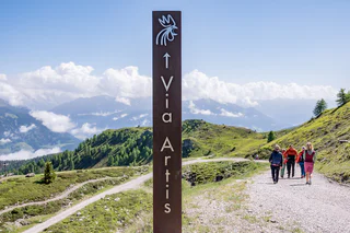
Transacqua/Ennewasser, Martell/Martello, Vinschgau/Val Venosta
medium
Poziom trudności
598 m
Wzlot
2h:22 min
czas trwania
1/4
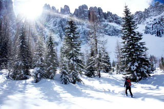
Riscone/Reischach, Bruneck/Brunico, Dolomites Region Kronplatz/Plan de Corones
medium
Poziom trudności
270 m
Wzlot
3h:00 min
czas trwania
1/5
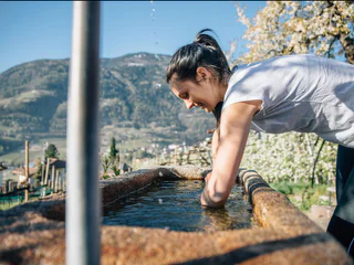
Nova Levante/Welschnofen, Welschnofen/Nova Levante, Dolomites Region Eggental
medium
Poziom trudności
332 m
Wzlot
2h:42 min
czas trwania
1/8
Velloi/Vellau, Algund/Lagundo, Meran/Merano and environs
medium
Poziom trudności
745 m
Wzlot
3h:45 min
czas trwania
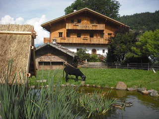
1/4
Vallesina/Versein, Mölten/Meltina, Bolzano/Bozen and environs
easy
Poziom trudności
448 m
Wzlot
2h:46 min
czas trwania
Ridnaun/Ridanna, Ratschings/Racines, Sterzing/Vipiteno and environs
easy
Poziom trudności
203 m
Wzlot
1h:28 min
czas trwania
Colle/Kohlern, Bolzano/Bozen, Bolzano/Bozen and environs
easy
Poziom trudności
464 m
Wzlot
3h:07 min
czas trwania
1/3
Prissiano/Prissian, Lana, Meran/Merano and environs
easy
Poziom trudności
80 m
Wzlot
1h:04 min
czas trwania
Sasso/Stein, Pfitsch/Val di Vizze, Sterzing/Vipiteno and environs
easy
Poziom trudności
1214 m
Wzlot
4h:42 min
czas trwania
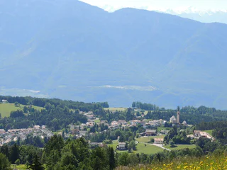
1/3
Aldino/Aldein, Aldein/Aldino
easy
Poziom trudności
301 m
Wzlot
2h:16 min
czas trwania
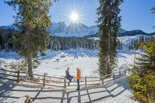
1/3
Nova Levante/Welschnofen, Welschnofen/Nova Levante, Dolomites Region Eggental
easy
Poziom trudności
0 m
Wzlot
0h:28 min
czas trwania
Velloi/Vellau, Algund/Lagundo, Meran/Merano and environs
medium
Poziom trudności
777 m
Wzlot
3h:34 min
czas trwania
Rasun di Sopra/Oberrasen, Rasen-Antholz/Rasun Anterselva, Dolomites Region Kronplatz/Plan de Corones
easy
Poziom trudności
166 m
Wzlot
1h:00 min
czas trwania
1/2
Sesto/Sexten
medium
Poziom trudności
130 m
Wzlot
0h:30 min
czas trwania
Dziękujemy za zapisanie się!
Rejestracja już aktywna
Potwierdź rejestrację
Aby zakończyć rejestrację, otwórz e-mail, który właśnie wysłaliśmy, i kliknij link potwierdzający.
Nie widzisz wiadomości? Sprawdź folder spam.
Otrzymujesz już nasze wyjątkowe oferty, przydatne wskazówki i specjalne propozycje, aby w pełni cieszyć się wakacjami.
Już próbowałeś zapisać się do naszego newslettera, ale nie potwierdziłeś rejestracji. Właśnie wysłaliśmy ci ponownie e‑mail. Sprawdź swoją skrzynkę odbiorczą i folder ze spamem i potwierdź teraz.