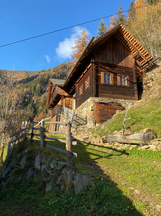
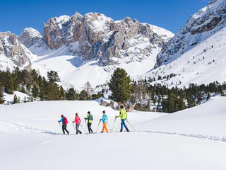
1/4
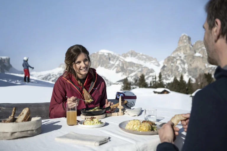
Lagaun Valley, Taschenjöchl & Berglalm Mountain Hut
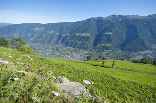
Vernago/Vernagt, Schnals/Senales, Vinschgau/Val Venosta
medium
Poziom trudności
847 m
Wzlot
4h:13 min
czas trwania
1/4
Vernago/Vernagt, Schnals/Senales, Vinschgau/Val Venosta
medium
Poziom trudności
847 m
Wzlot
4h:13 min
czas trwania
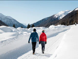
1/5
Tubre/Taufers i. M., Mals/Malles, Vinschgau/Val Venosta
difficult
Poziom trudności
1417 m
Wzlot
7h:30 min
czas trwania

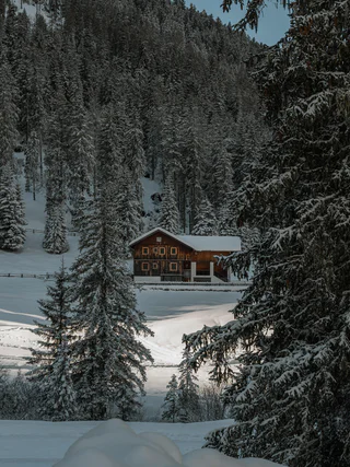
1/3
Alpe di Siusi/Seiseralm, Kastelruth/Castelrotto, Dolomites Region Seiser Alm
medium
Poziom trudności
1066 m
Wzlot
6h:16 min
czas trwania

Sesto/Sexten, Sexten/Sesto, Dolomites Region 3 Zinnen
medium
Poziom trudności
198 m
Wzlot
0h:45 min
czas trwania
1/2
Tarres/Tarsch, Latsch/Laces, Vinschgau/Val Venosta
difficult
Poziom trudności
363 m
Wzlot
1h:37 min
czas trwania
1/3
Naturno/Naturns, Naturns/Naturno, Meran/Merano and environs
medium
Poziom trudności
624 m
Wzlot
2h:52 min
czas trwania
S. Maddalena/St. Magdalena - Casies/Gsies, Gsies/Valle di Casies
medium
Poziom trudności
1332 m
Wzlot
6h:01 min
czas trwania
Chienes/Kiens, St.Lorenzen/San Lorenzo di Sebato, Dolomites Region Kronplatz/Plan de Corones
medium
Poziom trudności
713 m
Wzlot
4h:00 min
czas trwania
Vallesina/Versein, Mölten/Meltina, Bolzano/Bozen and environs
medium
Poziom trudności
677 m
Wzlot
4h:43 min
czas trwania
1/2
San Vigilio, Al Plan/San Vigilio, Dolomites Region Kronplatz/Plan de Corones
easy
Poziom trudności
128 m
Wzlot
0h:55 min
czas trwania
Altavalle/Hintermartell, Martell/Martello, Vinschgau/Val Venosta
difficult
Poziom trudności
1424 m
Wzlot
4h:16 min
czas trwania
1/3
Castelrotto/Kastelruth, Kastelruth/Castelrotto, Dolomites Region Seiser Alm
easy
Poziom trudności
44 m
Wzlot
0h:30 min
czas trwania
Sesto/Sexten, Sexten/Sesto, Dolomites Region 3 Zinnen
medium
Poziom trudności
538 m
Wzlot
2h:19 min
czas trwania
Bressanone città/Brixen Stadt, Brixen/Bressanone, Brixen/Bressanone and environs
easy
Poziom trudności
291 m
Wzlot
1h:38 min
czas trwania
Ganda/Gand - Martello/Martell, Martell/Martello, Vinschgau/Val Venosta
easy
Poziom trudności
430 m
Wzlot
3h:00 min
czas trwania
Tubre/Taufers i. M., Taufers im Münstertal/Tubre, Vinschgau/Val Venosta
medium
Poziom trudności
290 m
Wzlot
2h:10 min
czas trwania
San Vigilio, Al Plan/San Vigilio, Dolomites Region Kronplatz/Plan de Corones
medium
Poziom trudności
187 m
Wzlot
0h:34 min
czas trwania
Tarres/Tarsch, Latsch/Laces, Vinschgau/Val Venosta
easy
Poziom trudności
53 m
Wzlot
0h:24 min
czas trwania
Flanes/Flans, Freienfeld/Campo di Trens, Sterzing/Vipiteno and environs
medium
Poziom trudności
303 m
Wzlot
2h:30 min
czas trwania
Tesido/Taisten, Welsberg-Taisten/Monguelfo-Tesido
easy
Poziom trudności
381 m
Wzlot
1h:28 min
czas trwania
1/3
S. Pietro/St. Peter - Valle Aurina/Ahrntal, Ahrntal/Valle Aurina, Ahrntal/Valle Aurina
difficult
Poziom trudności
1050 m
Wzlot
3h:30 min
czas trwania
Reschen/Resia, Graun im Vinschgau/Curon Venosta, Vinschgau/Val Venosta
easy
Poziom trudności
120 m
Wzlot
1h:00 min
czas trwania
Onies/Onach, St.Lorenzen/San Lorenzo di Sebato, Dolomites Region Kronplatz/Plan de Corones
easy
Poziom trudności
30 m
Wzlot
1h:30 min
czas trwania
1/2
Villa Ottone/Uttenheim, Gais, Dolomites Region Kronplatz/Plan de Corones
difficult
Poziom trudności
588 m
Wzlot
2h:15 min
czas trwania
Sesto/Sexten, Sexten/Sesto, Dolomites Region 3 Zinnen
medium
Poziom trudności
556 m
Wzlot
3h:40 min
czas trwania
1/2
Selva die Molini/Mühlwald, Mühlwald/Selva dei Molini, Ahrntal/Valle Aurina
easy
Poziom trudności
265 m
Wzlot
1h:30 min
czas trwania
1/2
S. Maddalena/St. Magdalena - Funes/Villnöss, Villnöss/Funes, Dolomites Region Lüsen Villnöss
medium
Poziom trudności
295 m
Wzlot
1h:11 min
czas trwania
1/2
Aldino/Aldein, Aldein/Aldino
easy
Poziom trudności
225 m
Wzlot
1h:58 min
czas trwania
Nove Case/Neunhäusern, Rasen-Antholz/Rasun Anterselva, Dolomites Region Kronplatz/Plan de Corones
easy
Poziom trudności
30 m
Wzlot
1h:00 min
czas trwania
1/16
Selva/Sëlva/Wolkenstein/Sëlva, S.Crestina Gherdëina/Santa Cristina Val Gardana, Dolomites Region Val Gardena
medium
Poziom trudności
207 m
Wzlot
2h:00 min
czas trwania
Dziękujemy za zapisanie się!
Rejestracja już aktywna
Potwierdź rejestrację
Aby zakończyć rejestrację, otwórz e-mail, który właśnie wysłaliśmy, i kliknij link potwierdzający.
Nie widzisz wiadomości? Sprawdź folder spam.
Otrzymujesz już nasze wyjątkowe oferty, przydatne wskazówki i specjalne propozycje, aby w pełni cieszyć się wakacjami.
Już próbowałeś zapisać się do naszego newslettera, ale nie potwierdziłeś rejestracji. Właśnie wysłaliśmy ci ponownie e‑mail. Sprawdź swoją skrzynkę odbiorczą i folder ze spamem i potwierdź teraz.