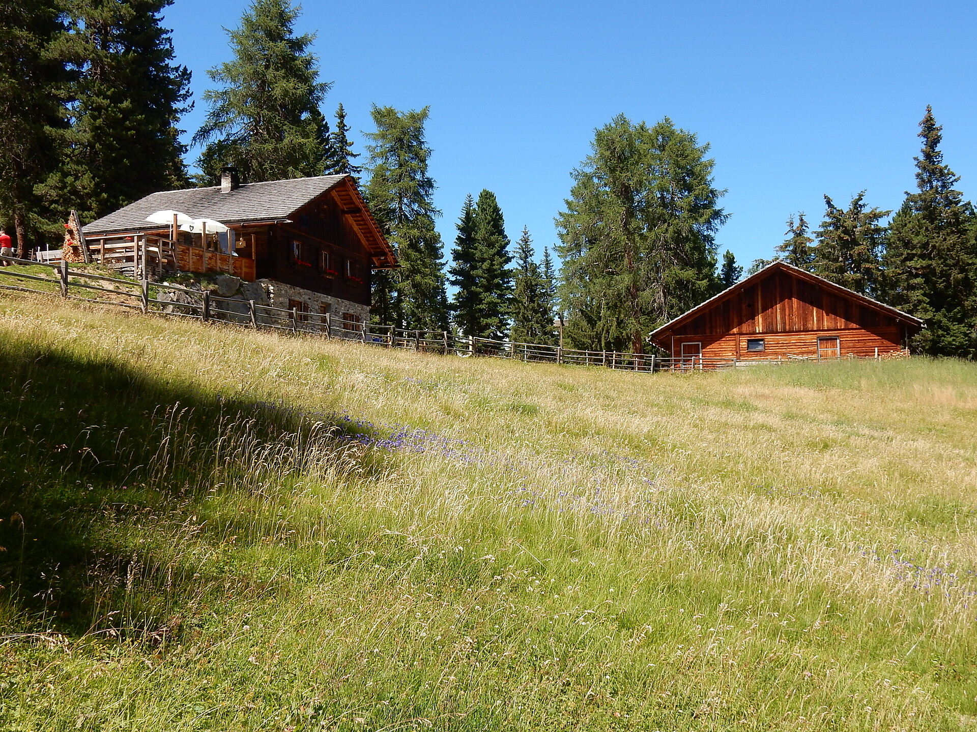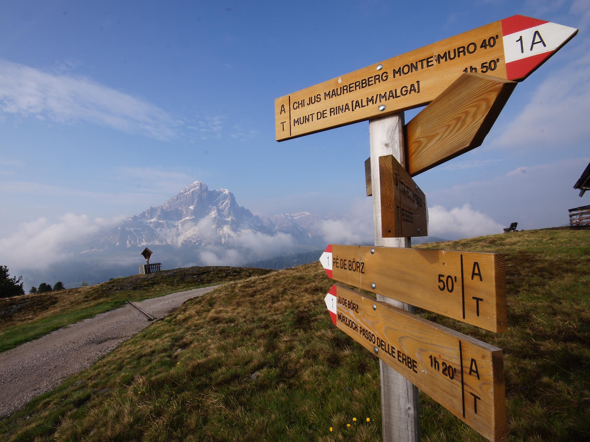
Hiking
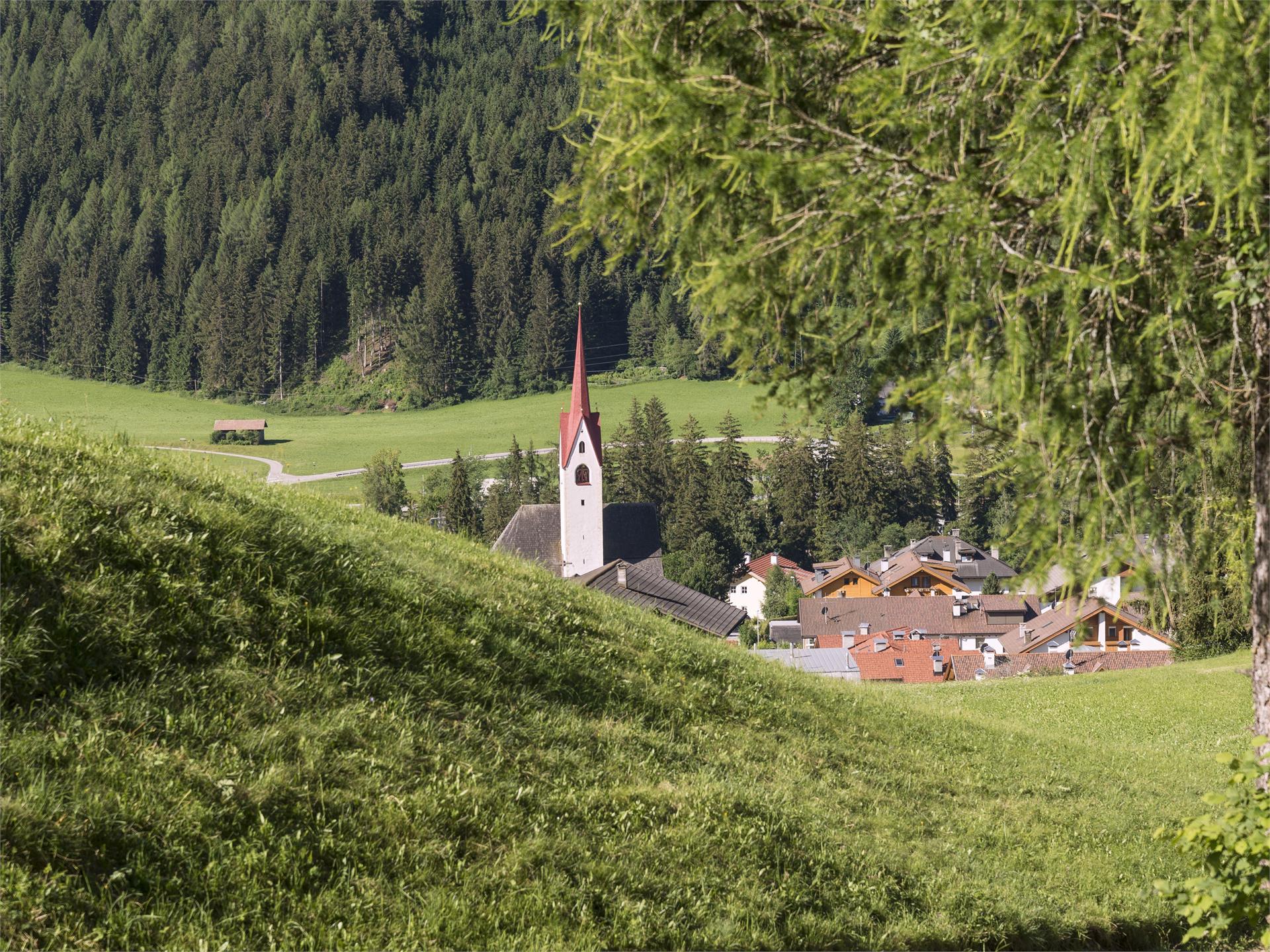
Welsberg-Taisten/Monguelfo-Tesido
SSeveral sections of the Pilgrim's Way cross South Tyrol and impress with the variety of scenic attractions, but also with the many well-preserved testimonies of the pilgrimage era. You start in Innichen and walk to Toblach, from there to Villabassa and finally to Monguelfo.
Height difference in ascent: 219 m
Height difference in descent: 302 m
Length of route: 17.9 km
Walking time: 04h 46min