Hiking
Mühlbach/Rio di Pusteria, Brixen/Bressanone and environs
Experience the beautiful alpine village Fane Alp also in winter!
Experience the beautiful alpine village Fane Alp also in winter!
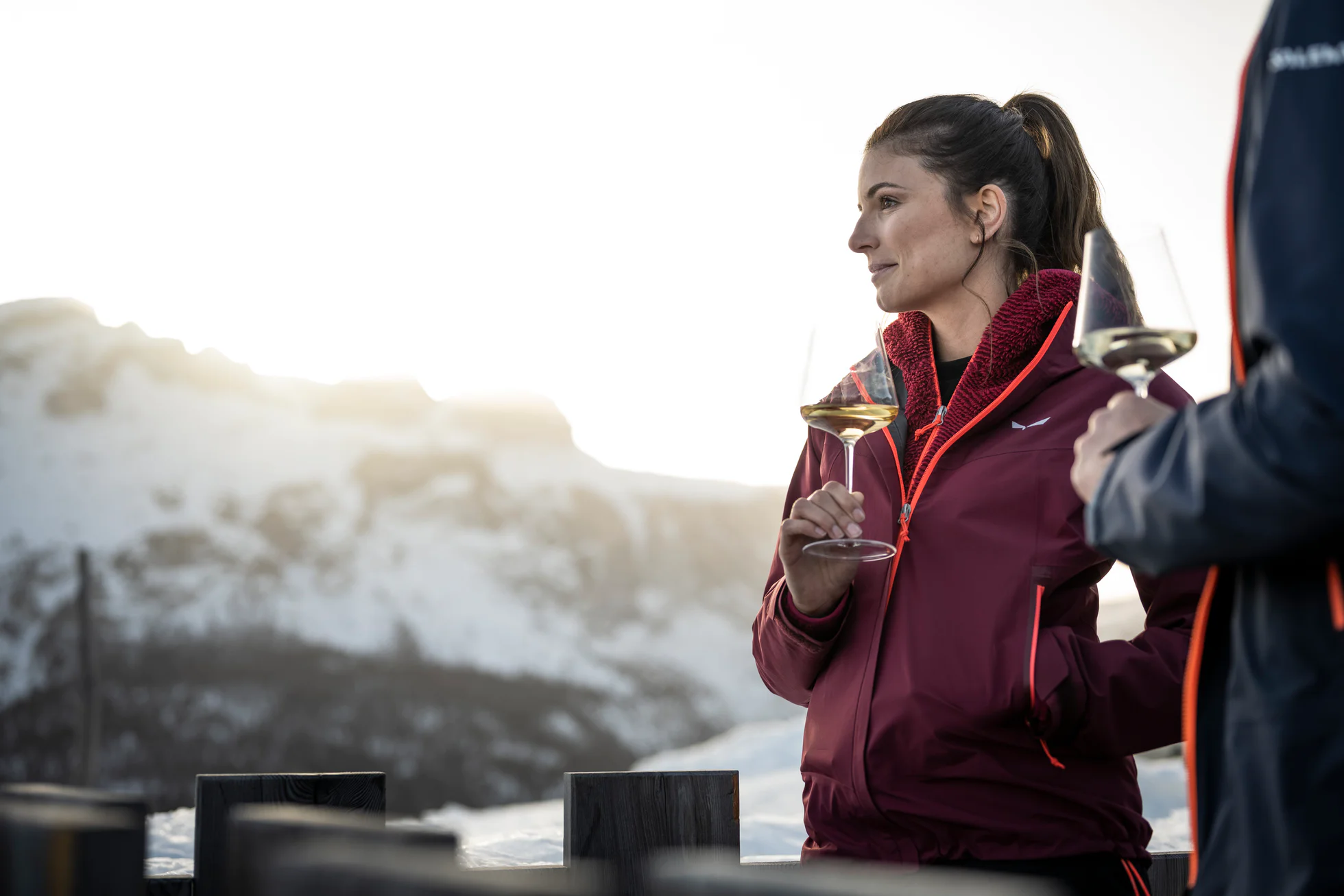
This moderately difficult winter hike leads up to the Plätzwiese/Prato Piazza, a high plateau at 2,000 m above sea level with a breathtaking view of the Hohe Gaisel/Croda Rossa and the Cristallo.
With plenty of motivation, you start the walk in Moos, opposite the Happacher bakery on the asphalted road. Past the Berghotel, always following the road, you reach Froneben guesthouse after approx. 45 minutes
Hiking through rural cultural landscape on the sunny side of Pichl
Starting point: Hotel Stoll in Pichl in the Gsieser Valley
Distance + hiking time: a) 6 km, 2 hours; b) 6,5 km, 2 ½ hours; c) 13 km, 4 ½ hours
Level of difficulty: easy
Altitude difference: 100 m
From Niederrasen to Oberrasen > along the river > Bad Salomonsbrunn (5 km).
Short farm hike in St. Martin
Starting point: tourist office in St. Martin in the Gsieser Valley 1276 m
Distance: 4,5 km
Hiking time: 2 hours
Level of difficulty: easy
Altitude difference: 50 m
A wonderful, easy winter hike with a lovely mountain hut to stop at for refreshments.
Unlimited hiking pleasures: along the Pidig Stream to the Kradorfer Alm
Starting point: Head of the valley at St. Magdalena in the Gsieser Valley 1465 m
Distance: 2,5 km
Descent: back via the ascent route
Hiking time: 60 minutes
Level of difficulty: easy
Altitude difference: 239 m
Toboggan run: easy
This roundtrack offers a beatiful view over Dobbiaco/Toblach and the Valle di Landro/Höhlensteintal.
(Be careful: Some sections could be icy!)
Hike across the Eggerberg: the mountain farmer’s home in winter
Starting point: Secondary school in Welsberg 1087 m
Distance: ca. 8 km
Hiking time: ca. 2 ½ km
Level of difficulty: easy to medium
Altitude difference: 320 m
Return: Public transport from Niederdorf either by bus or train
The winter hike passes the source of the Drava/Drau River. The Drava/Drau is a river of 749 km which takes origin in the field of Dobbiaco/Toblach and crosses Italy, Austria, Slovenia, Croatia and Hungary.
Further information to the water treasures of Dobbiaco: www.three-peaks.info/en/dobbiaco/dobbiaco/experiencing-dobbiaco/lago-di-dobbiaco-and-dobbiaco-water-treasures.html?_ga=1.204887893.455846822.1385385320
Enjoy the beautiful view on the alp of Rodengo-Luson at a winter hiking tour!
A beautiful panoramic Dolomite hike along the typical hamlets “Schindelholz”, “Hölzl” and “Wiesen/Brückenwirt”
Starting point: Parish Church of Pichl in the Gsieser Valley 1260 m
Distance: 10 km
Hiking time: 3 hours
Level of difficulty: easy
Altitude difference: 200 m
Wonderful winter hike trough forests and meadows in Dobbiaco/Toblach.
suitable for baby stroller
From Niederrasen (Haus Hölzl) > on the left side walk on the edge of the woods > foresty road > Alte Goste.
From Niederrasen to Oberrasen (culture house) > along the river > after approx. 1 km turn right on a country lane > further on northwards to the biotope (the moor area - an integral natural reserve with nature trail).
This hike can also be started from Antholz Niedertal or Antholz Mittertal!
A good alp-round-tour with nice huts and lookouts in a snowy landscape.
Hamlets – Hike in Taisten
Starting point: Tourist office in Taisten 1206 m
Distance: 8 km
Hiking time: ca. 2 ½ hours
Level of difficulty: easy to moderate
Altitude difference: 300 m
It is a very fine and enjoyable hike for everyone - easy, practical and very beautiful, but the best thing is the view!!!
Route to the famous Taistner Vorderalm
Starting point: mountain restaurant Mudler Hof in Taisten 1584 m
Distance: 3,5 km
Descent: back via the ascent route
Hiking time: 90 min
Level of difficulty: easy to moderate
Altitude difference: 420 m
Toboggan run: easy to moderate
From Niederrasen > Camping Corones > forestry road in the woods > Neunhäusern.
Caution: use the path under the bridge of the statal road!
From Camping Antholz > left opposite the main road following the signs > Antholz Obertal > at the underpass we cross the main road again > Sporthotel Wildgall > from there along the sidewald to Lake Antholz.
The panoramic path to Frondeigen/Franadega offers a beautiful view of the surrounding Dolomite peaks.
The panoramic path to Gandelle/Kandellen offers a beautiful view of the surrounding Dolomite peaks.
Confirmation email has been sent. Don't you find it? Check your spam folder.