Hiking
Sand in Taufers/Campo Tures, Ahrntal/Valle Aurina
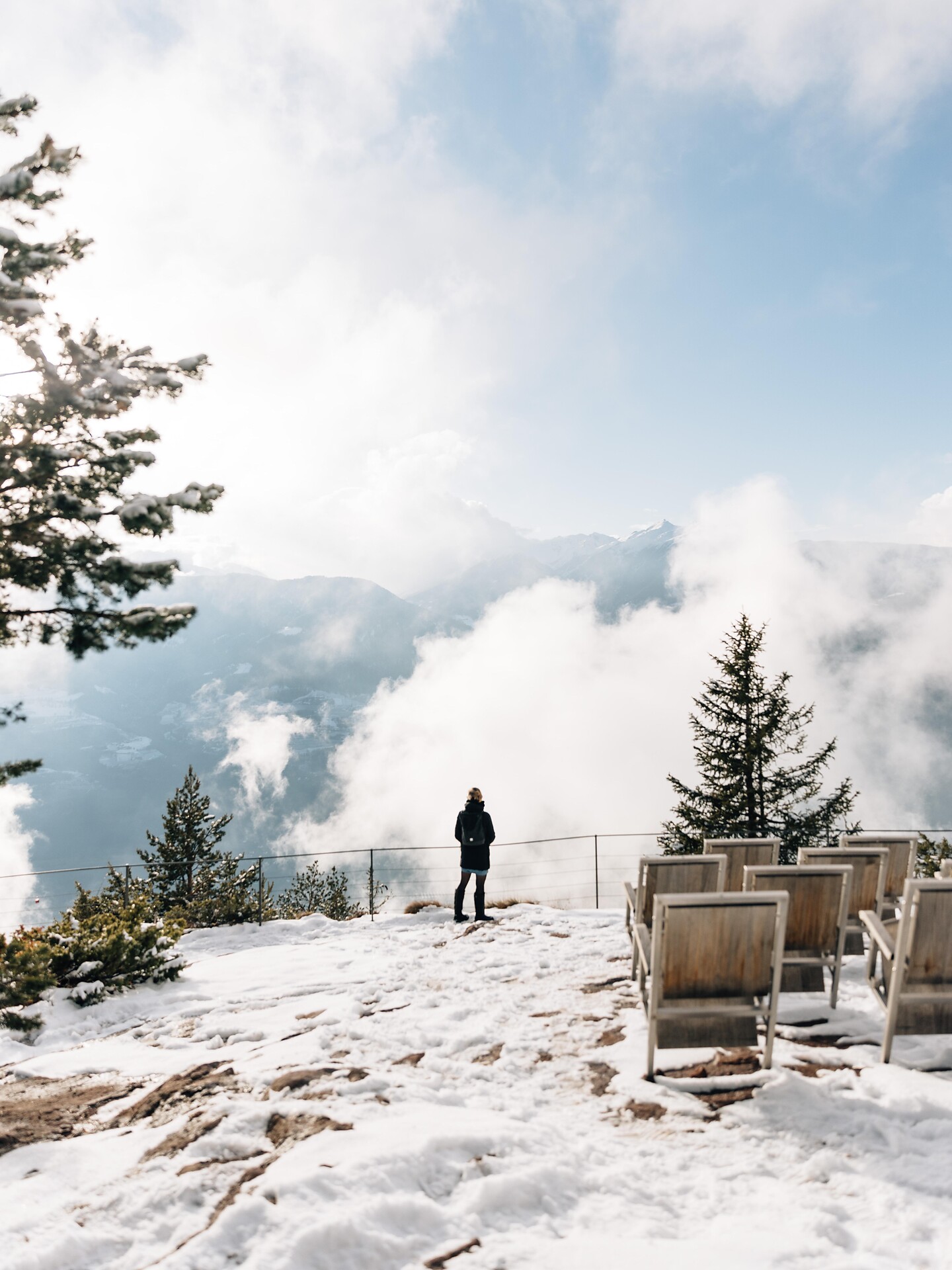
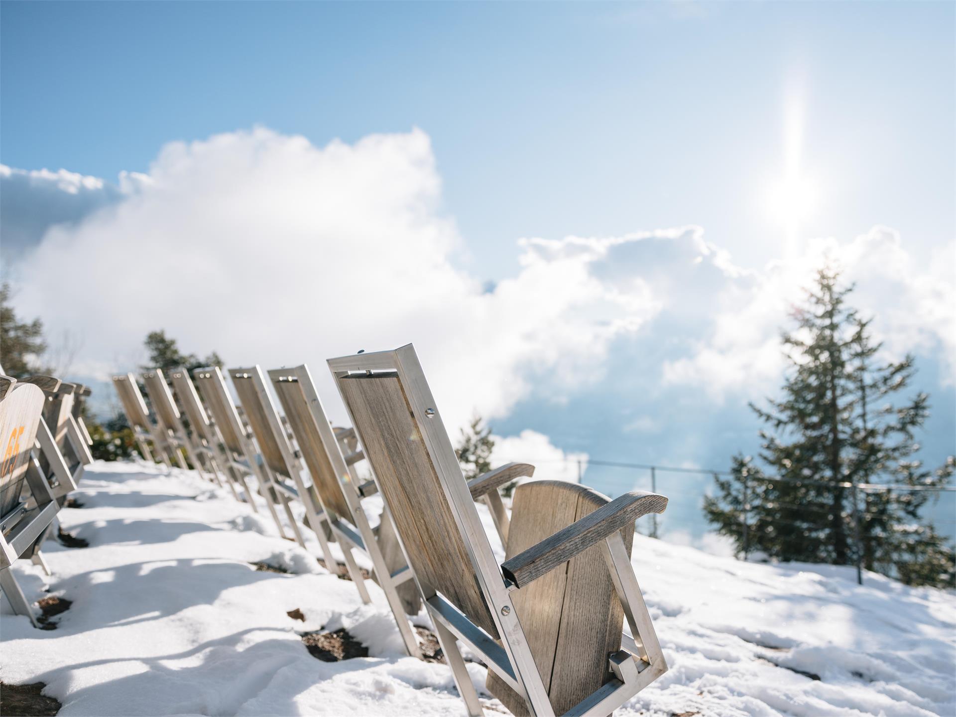
Wonderful winter hike on the highest point at Speikboden with 360° winter panorama. With the cable car and the chairlift it goes up to 2,400m. From there you can already see the summit cross of the Sonnklar Nock. Passing the Sonnklarhütte, you reach your destination after a leisurely winter hike of just under half an hour.