Skip to content

added to favourites

removed from favourites

Oops! Something went wrong. Try again

Your account is being created

Your account has been successfully created and you are now logged in

You’ve been logged in successfully!

Your account was created successfully, but we couldn't log you in automatically

You are logged out.

Filter
Selected filters
    Level of difficulty
    Duration
    Distance in KM

    Mountain climbing

    Sporting challenge, breathtaking view and the feeling of freedom: How does it feel to be at the top? You can find the best tour near you here.

    Results
    Mountaineering
    Ifinger Summit Hike
    Schenna/Scena, Meran/Merano and environs

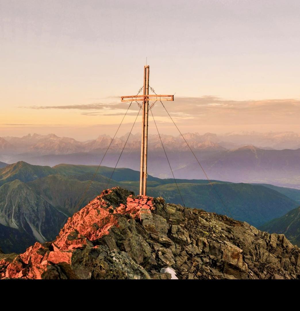
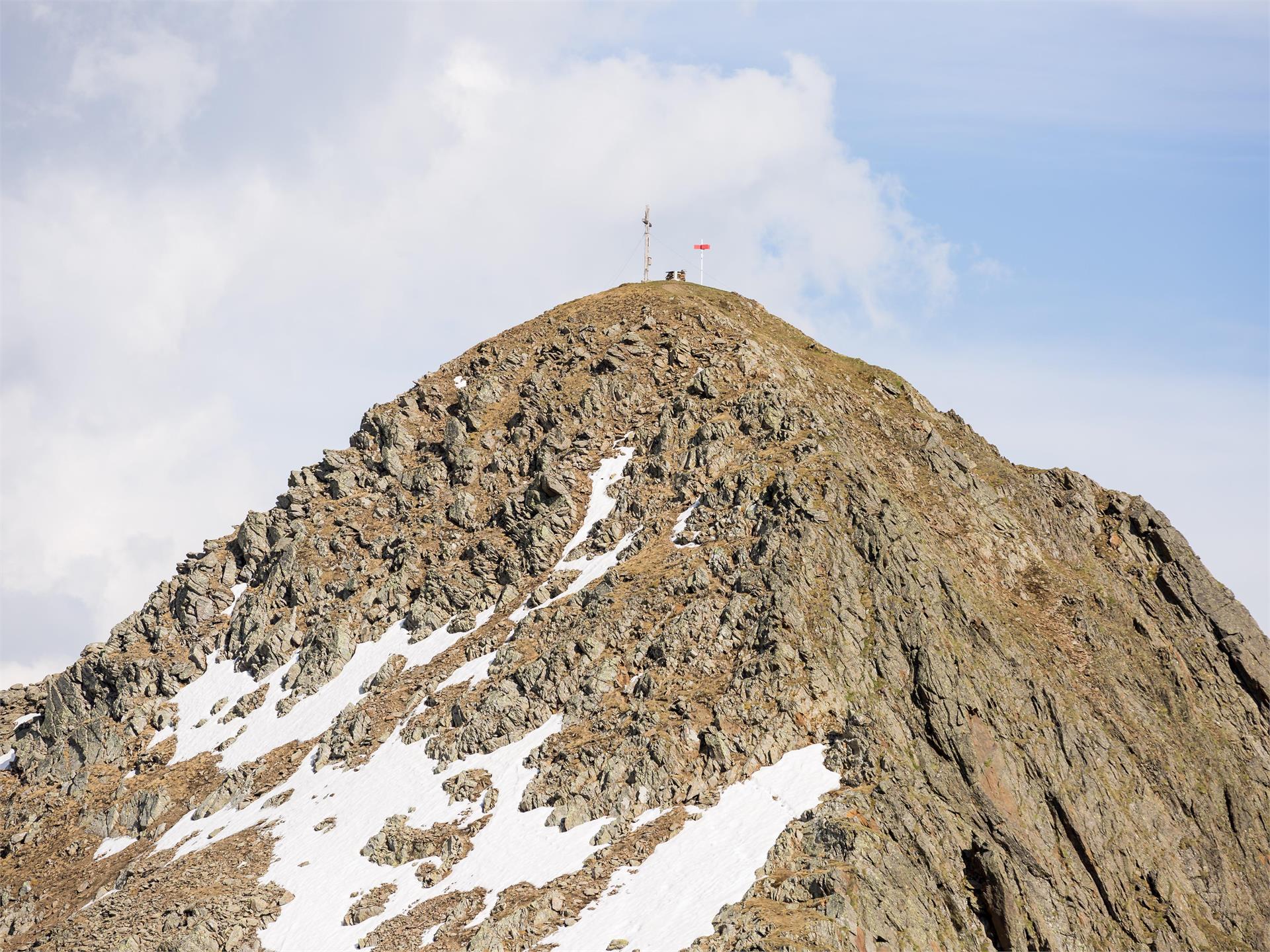
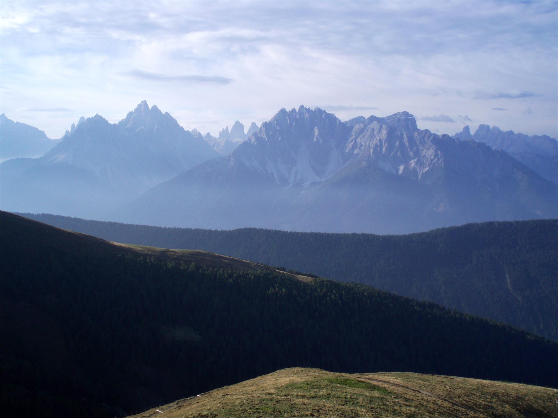
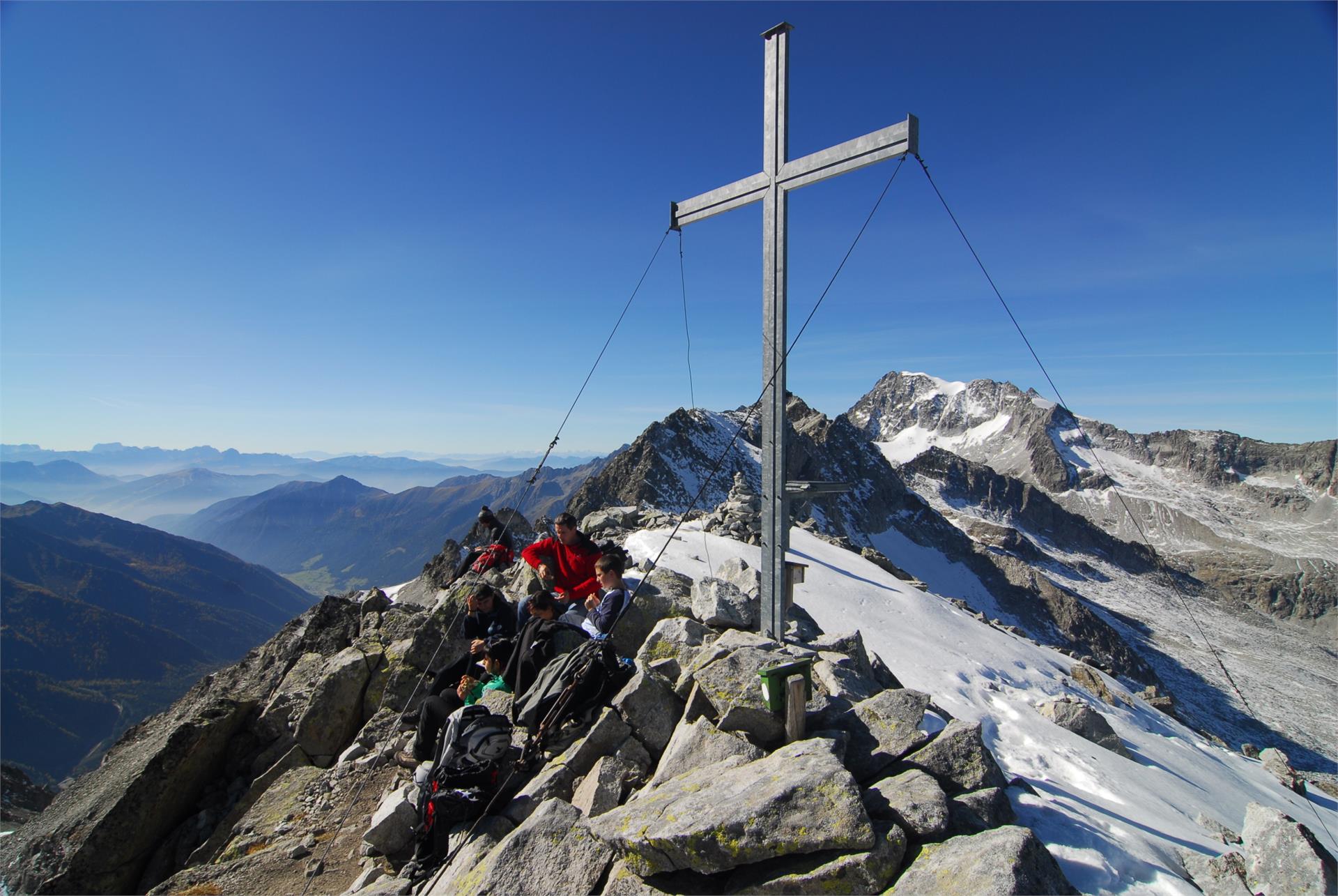
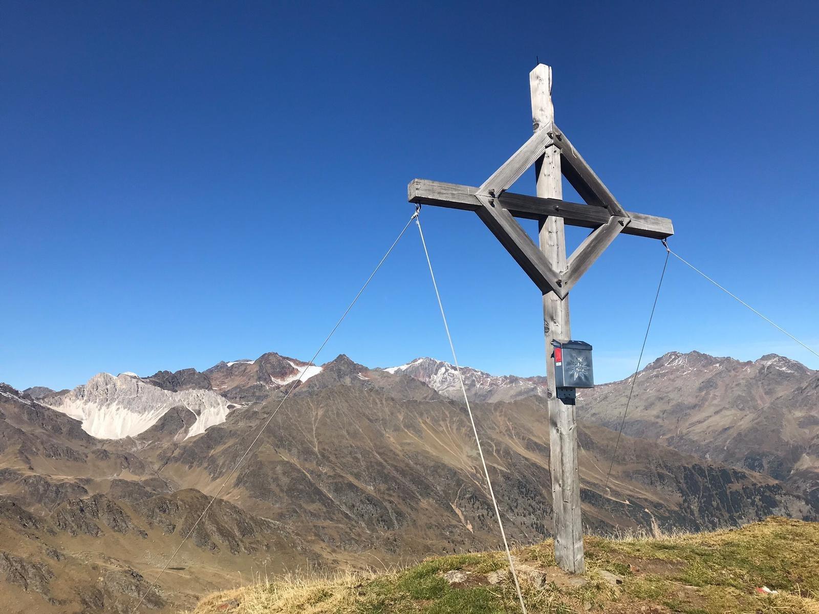
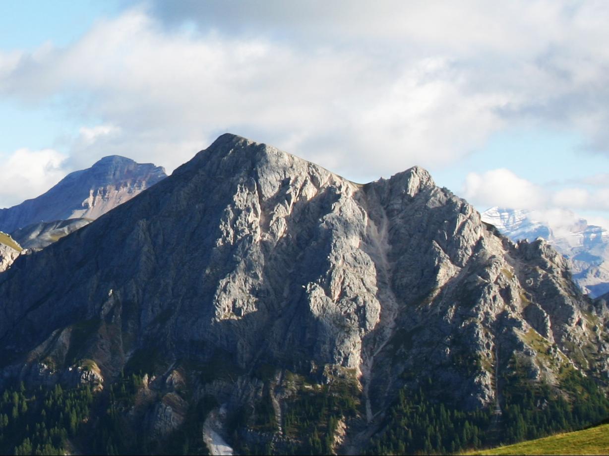
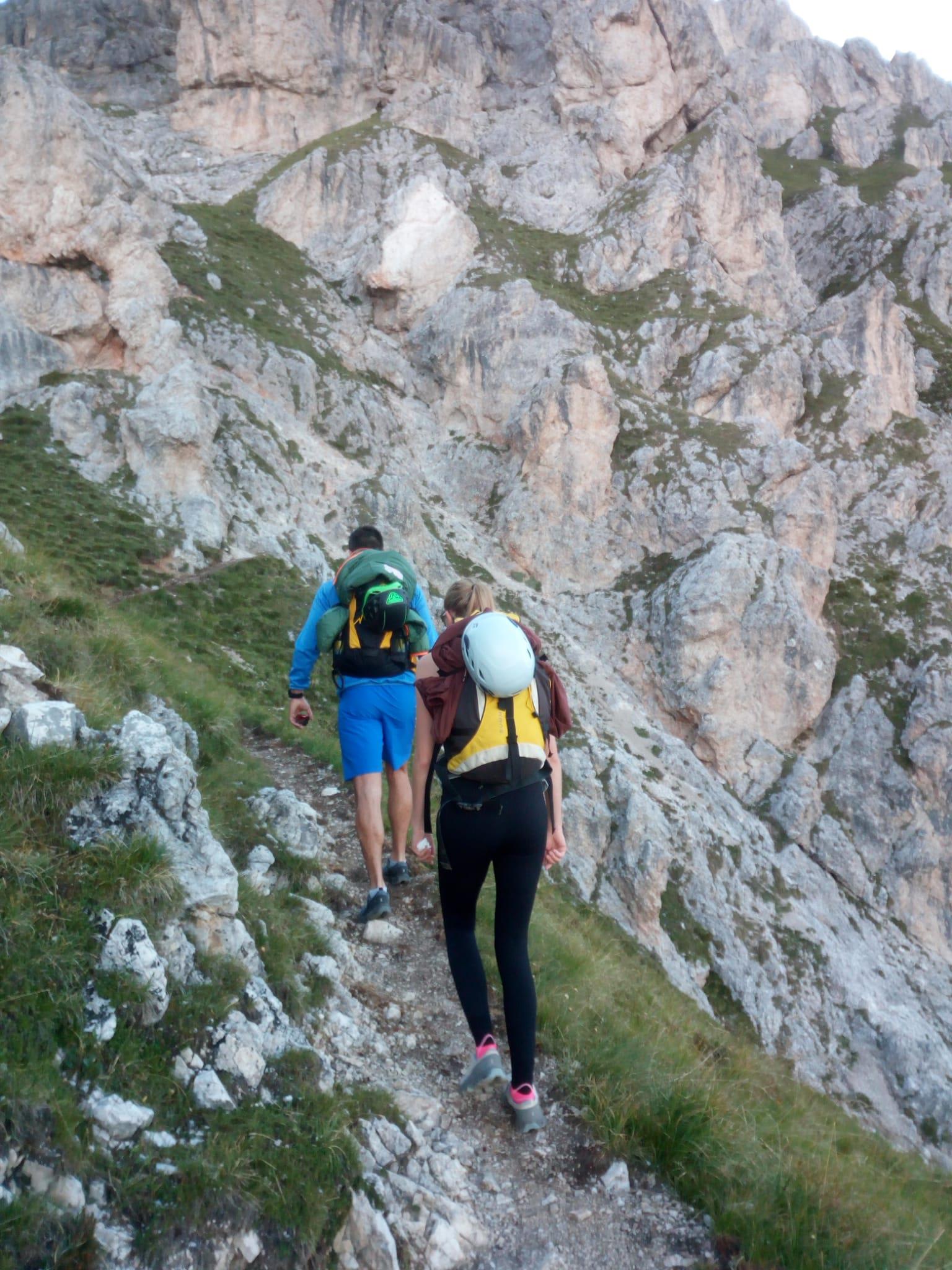
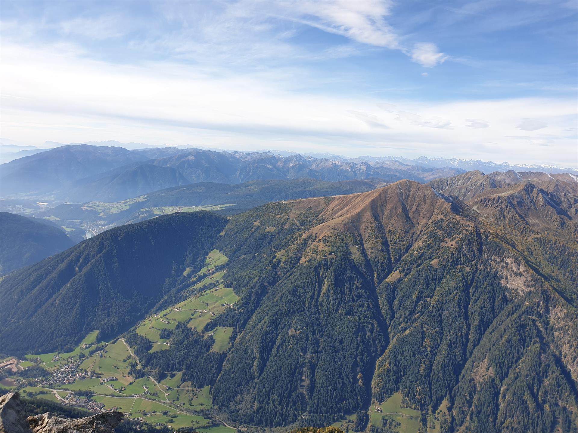
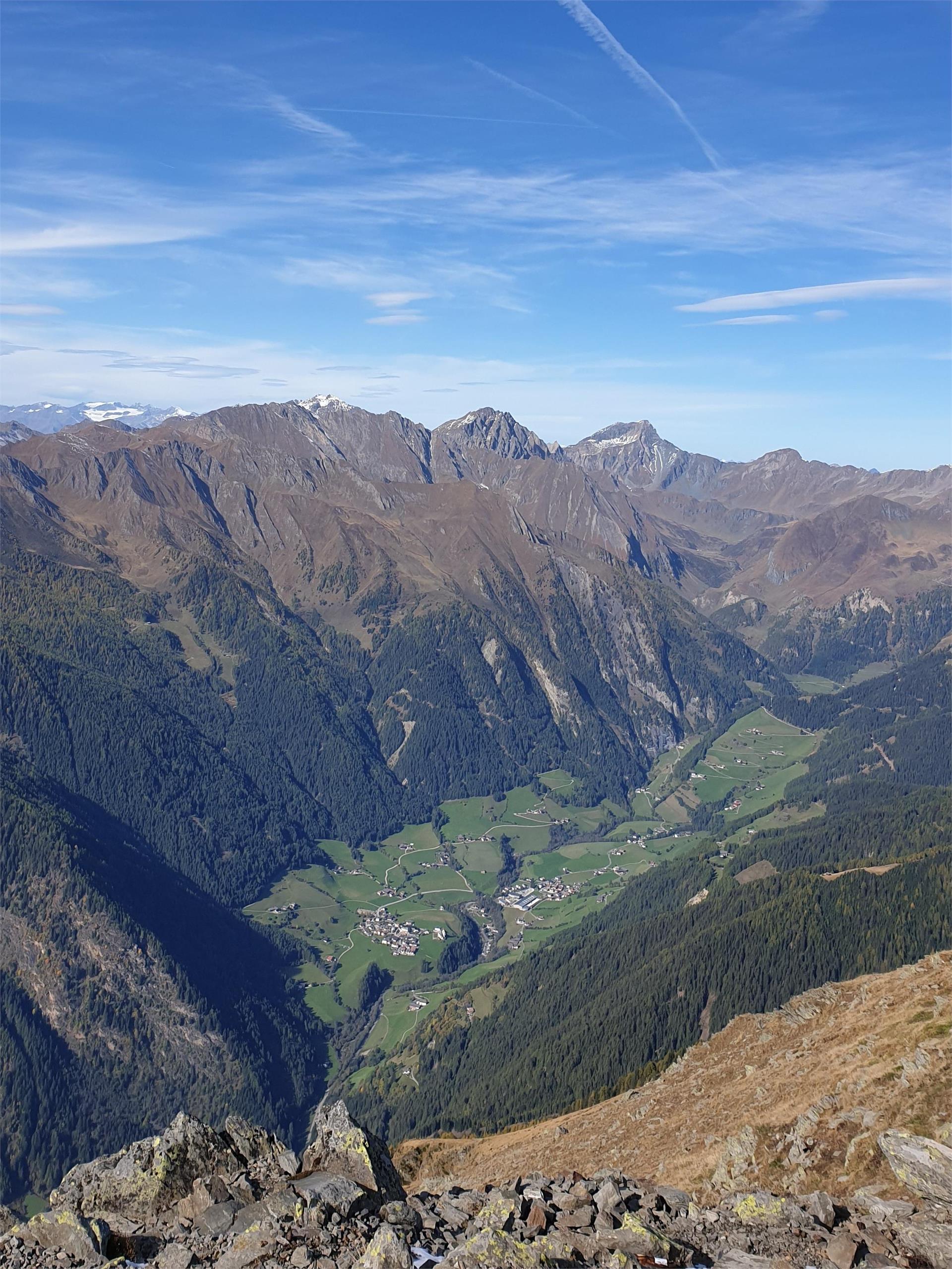
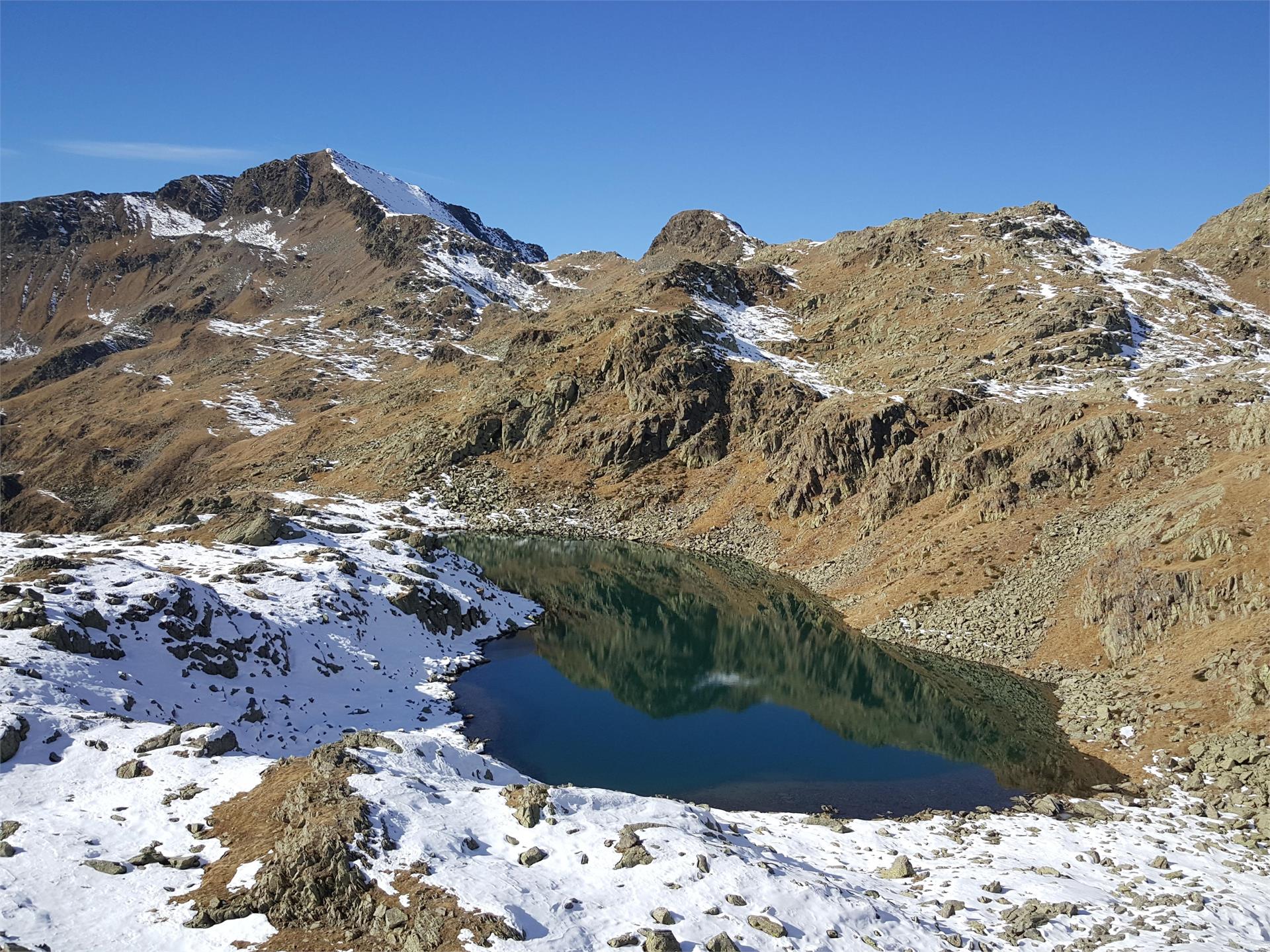
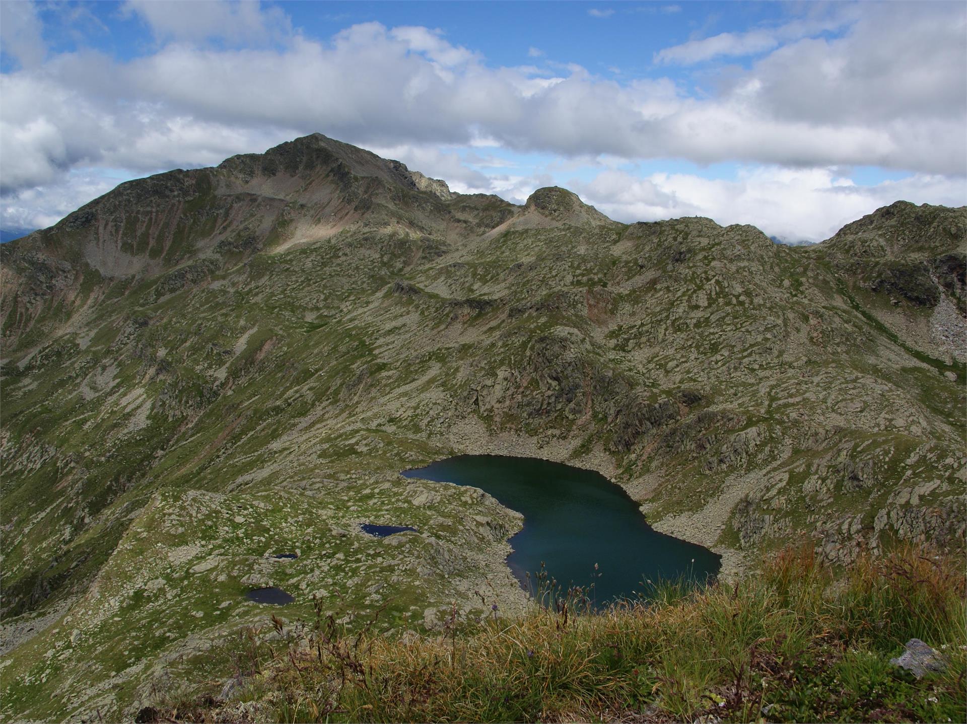
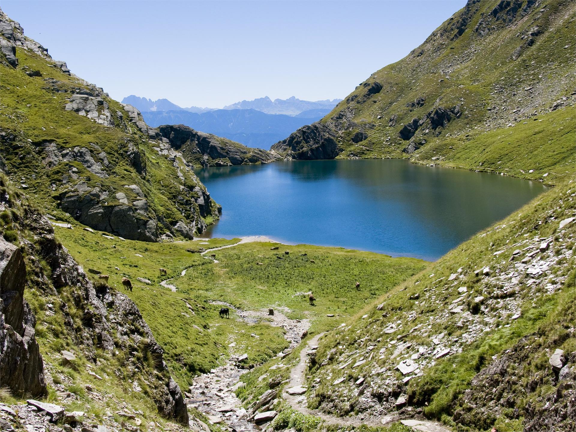
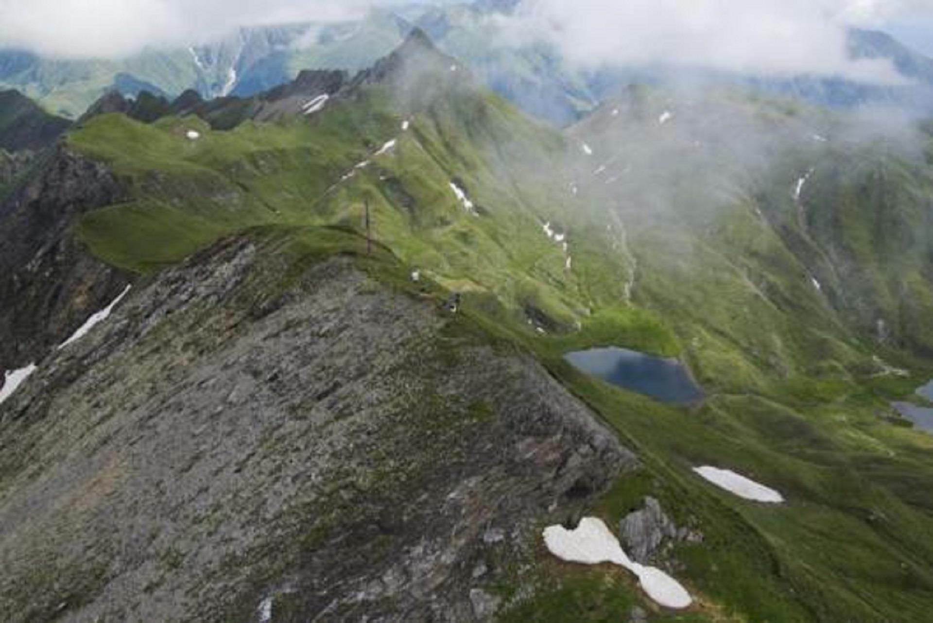
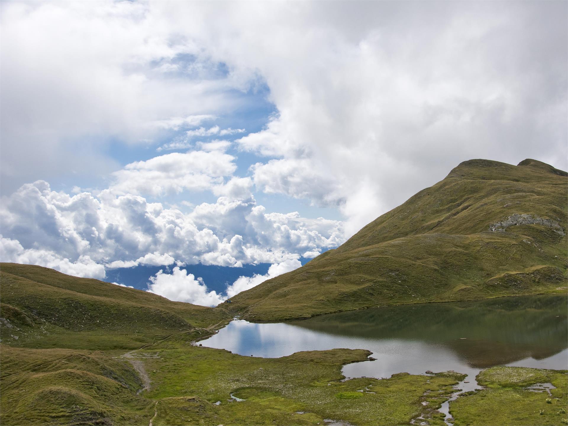
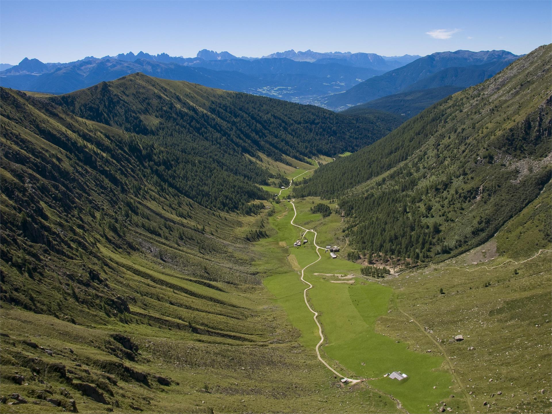
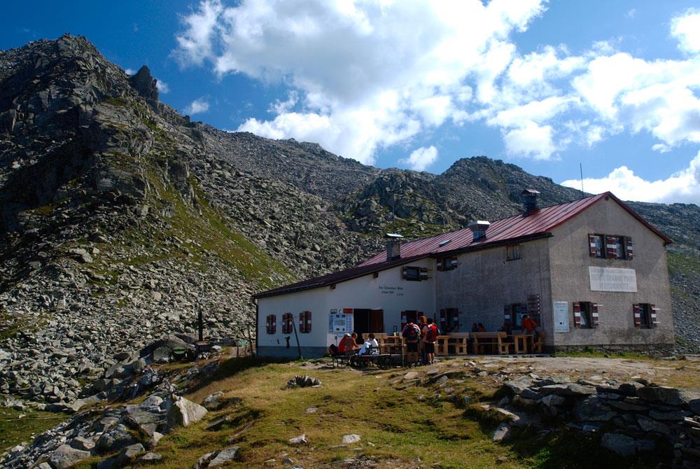
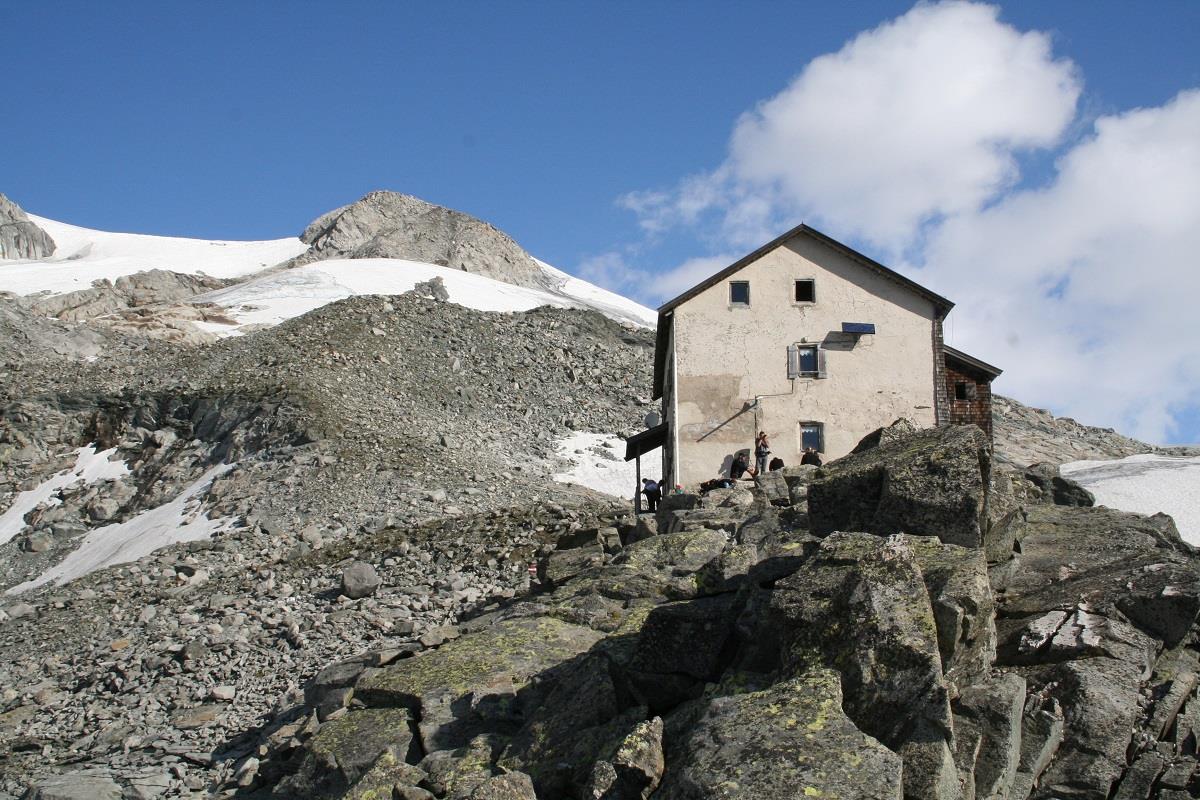
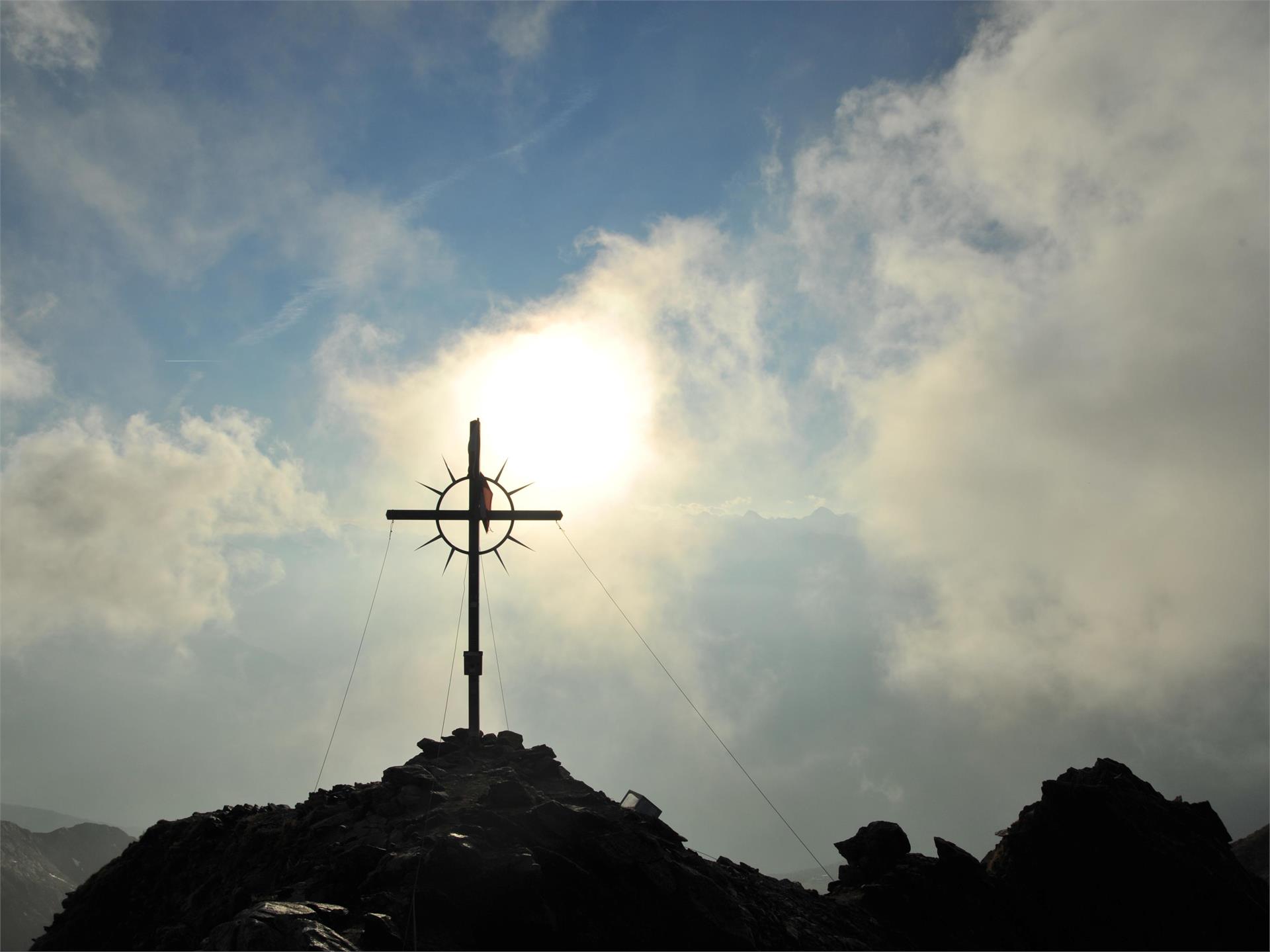
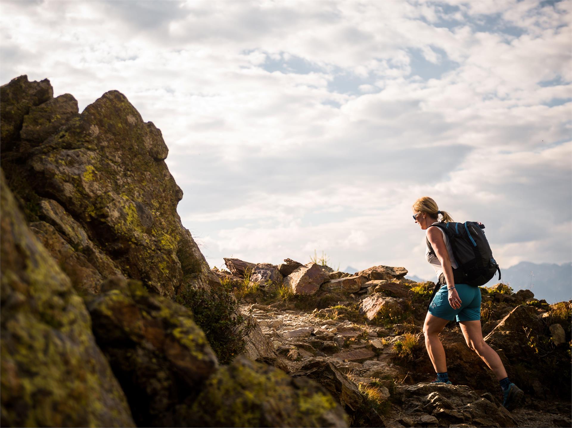
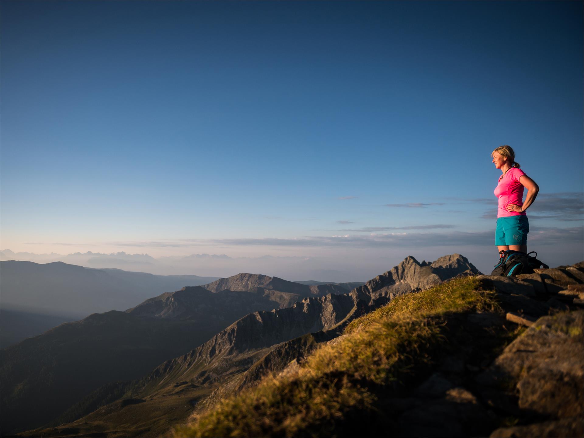
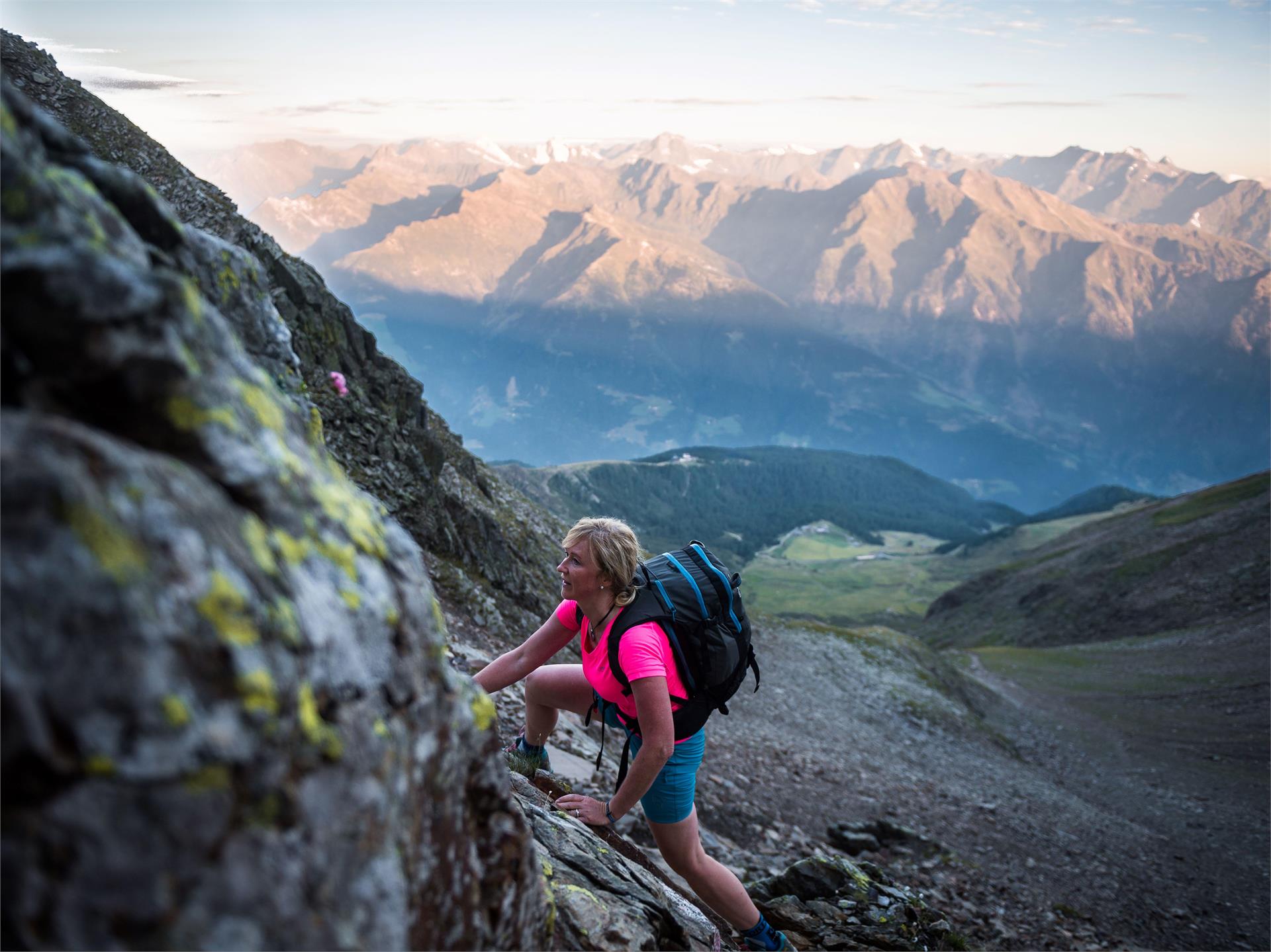
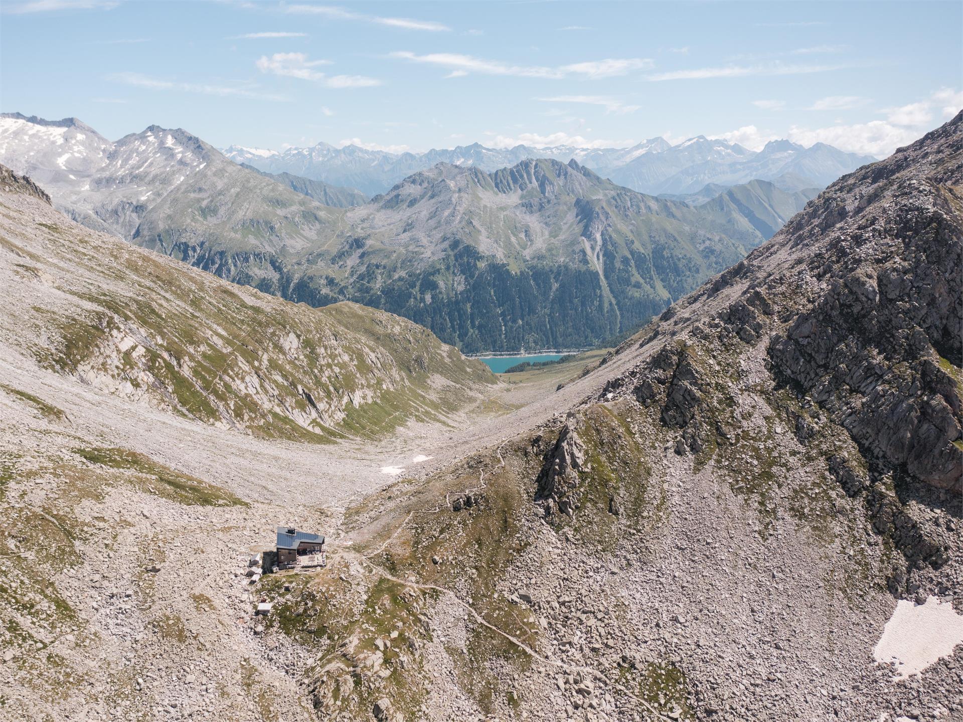
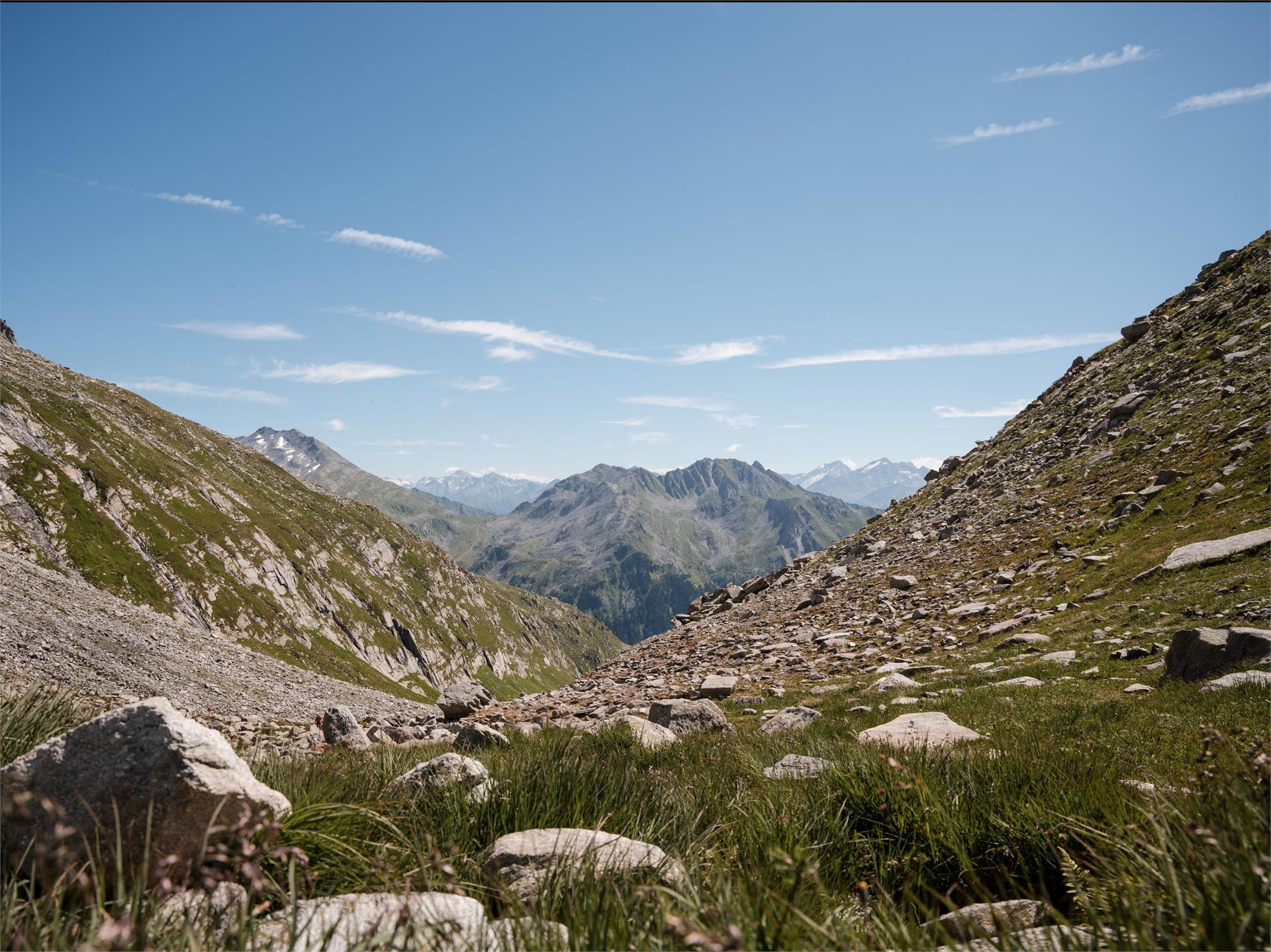
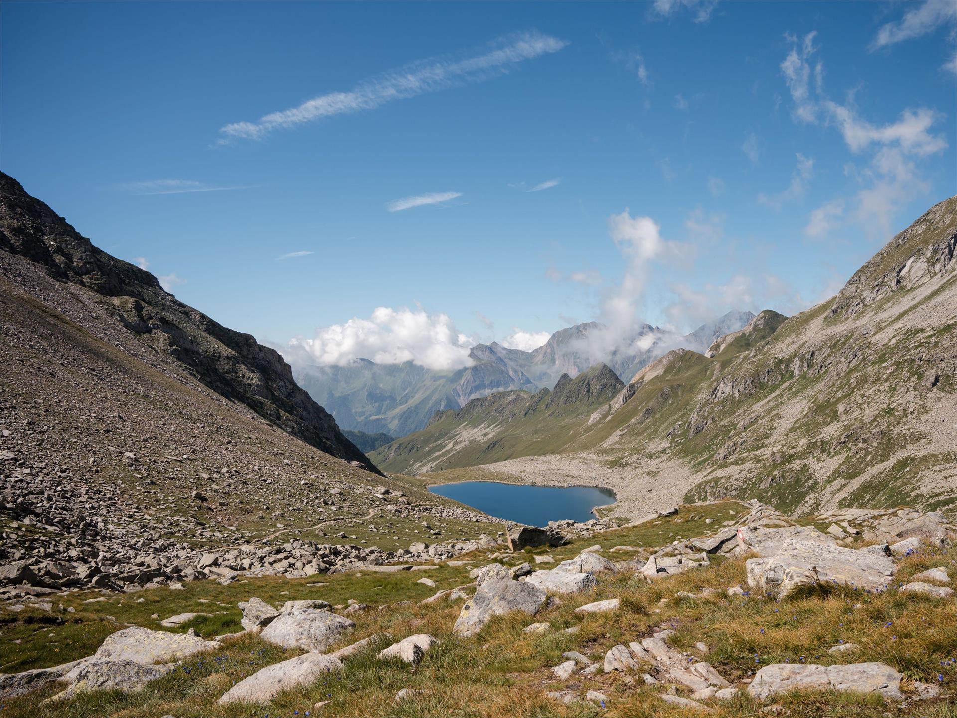
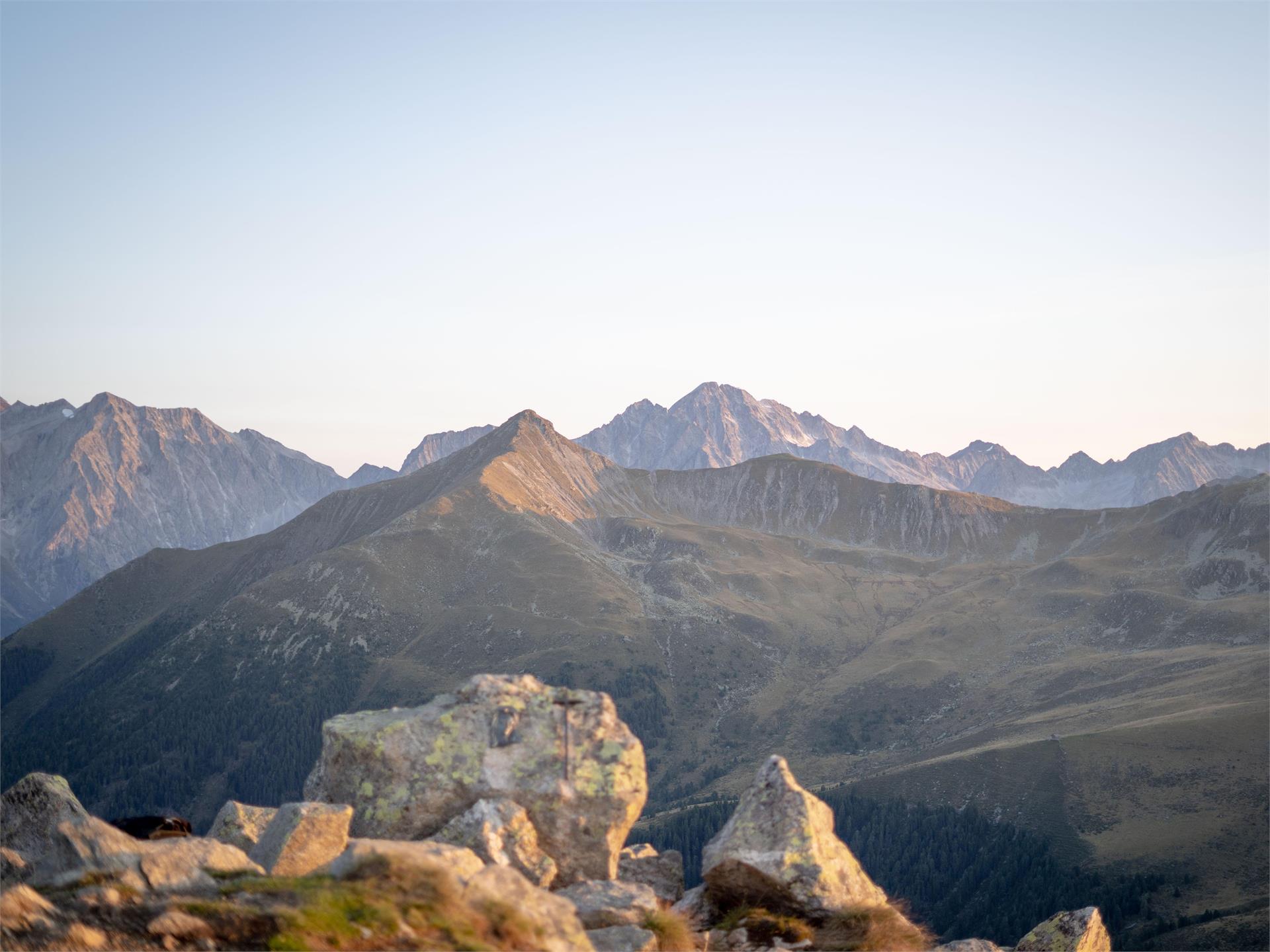
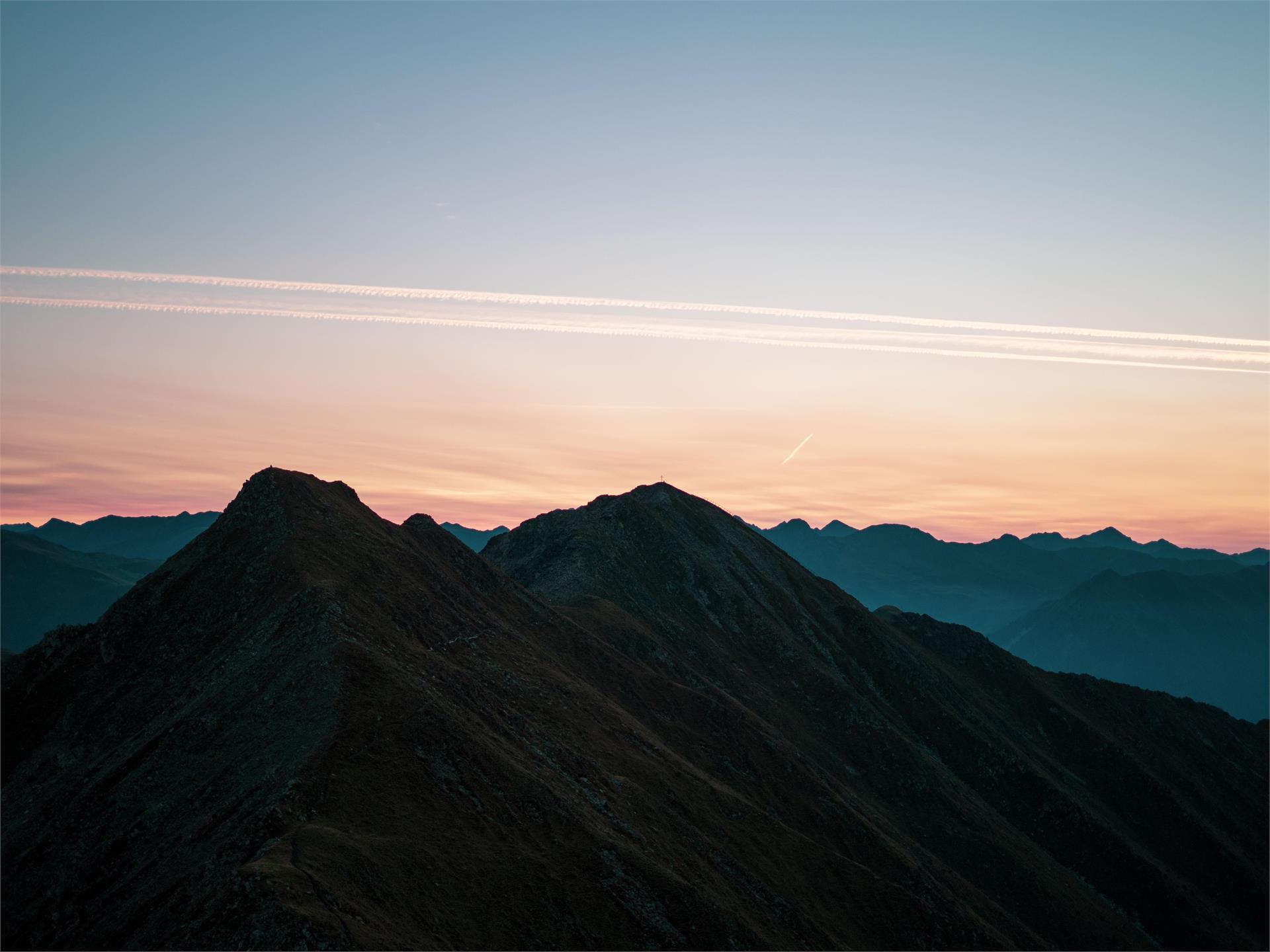
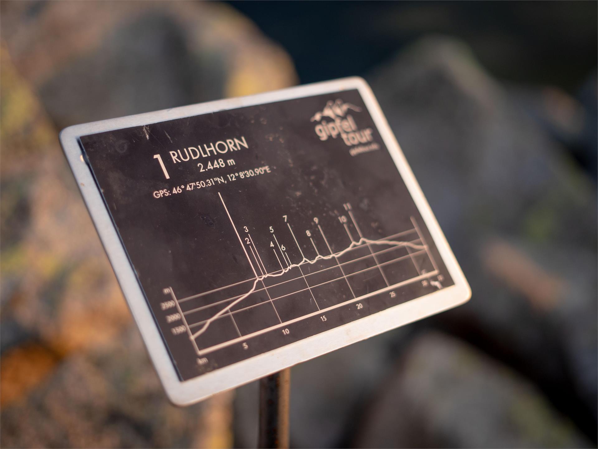
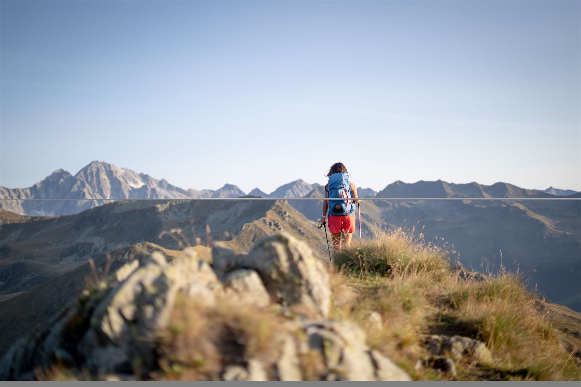
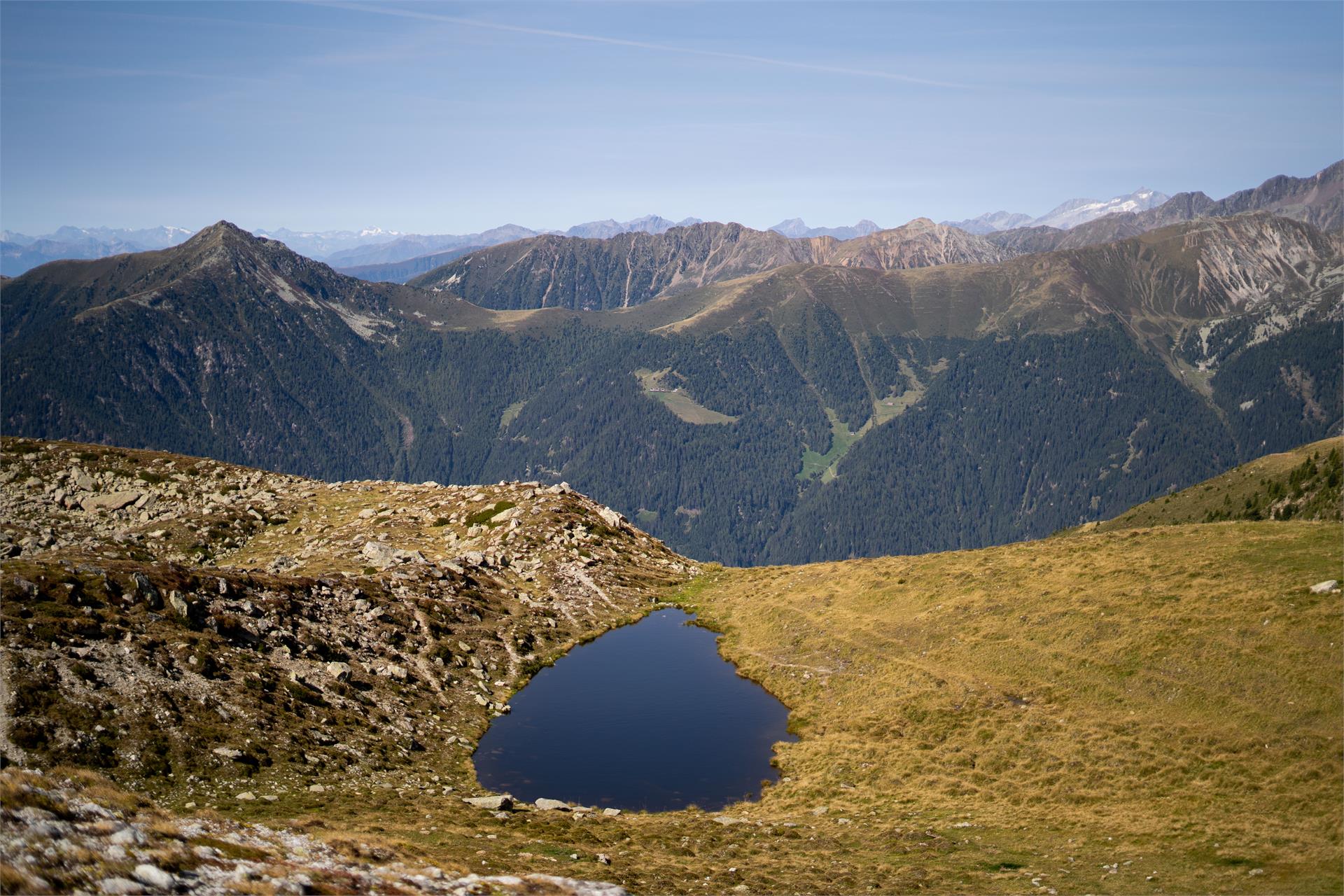
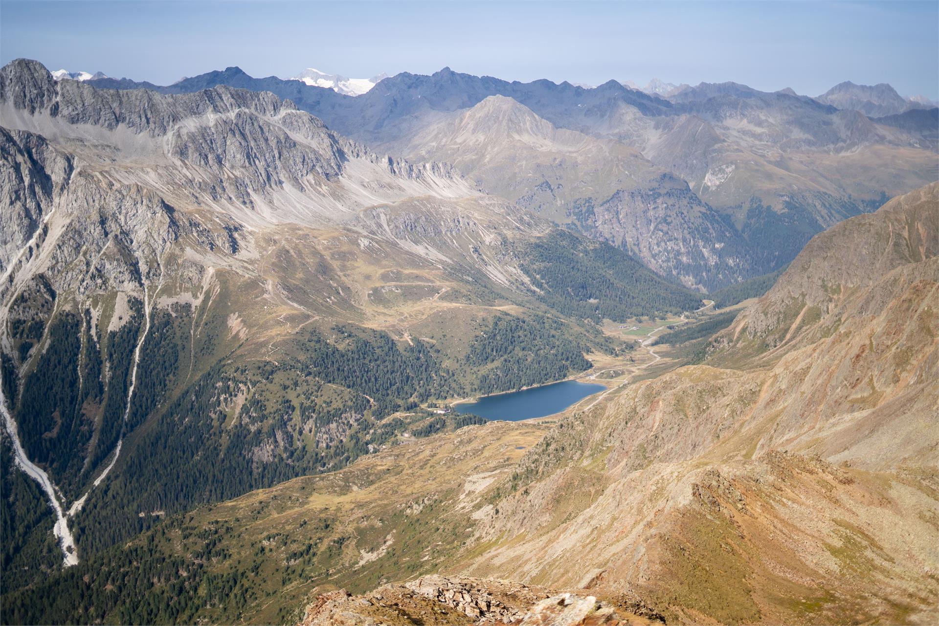
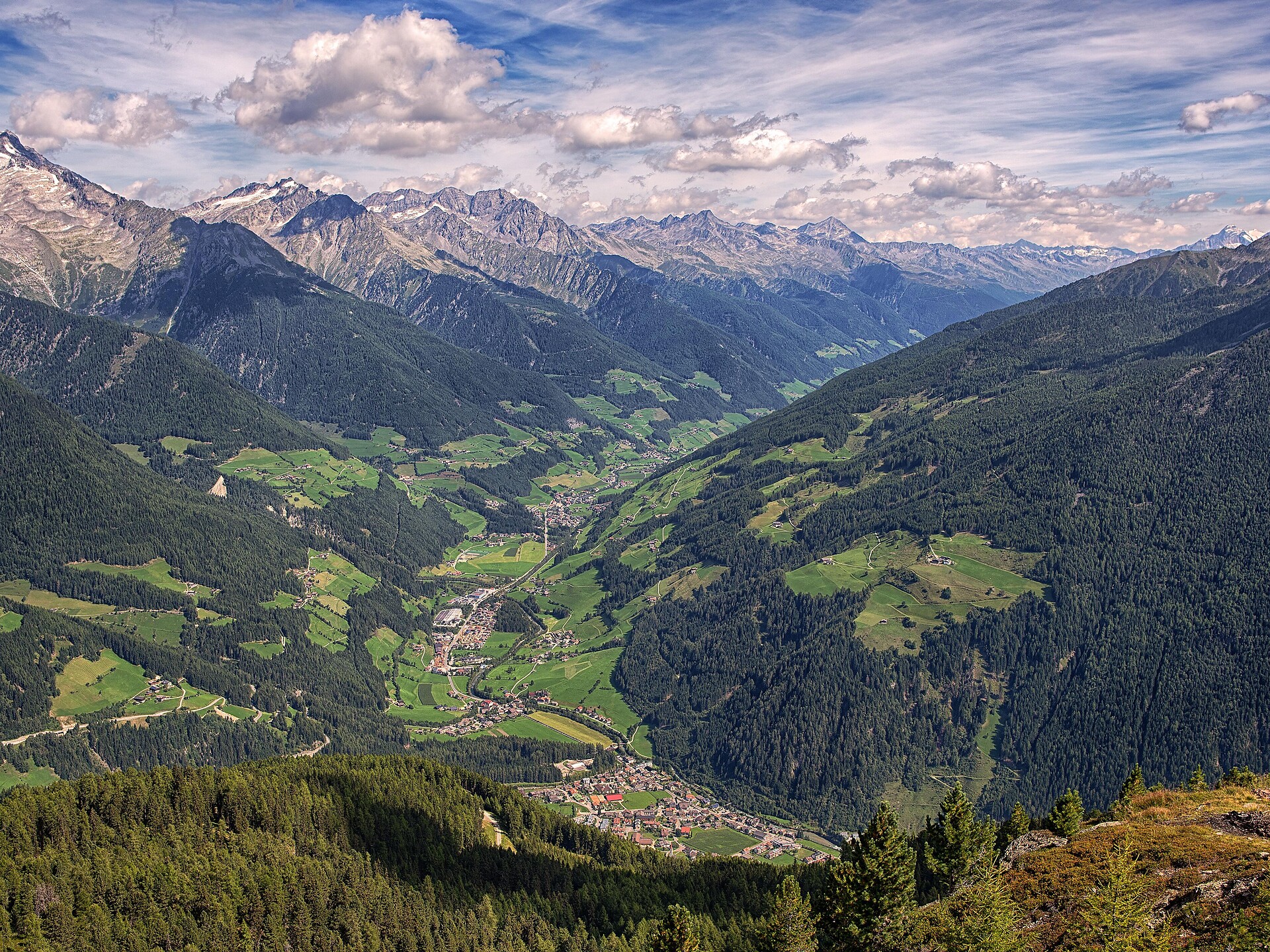
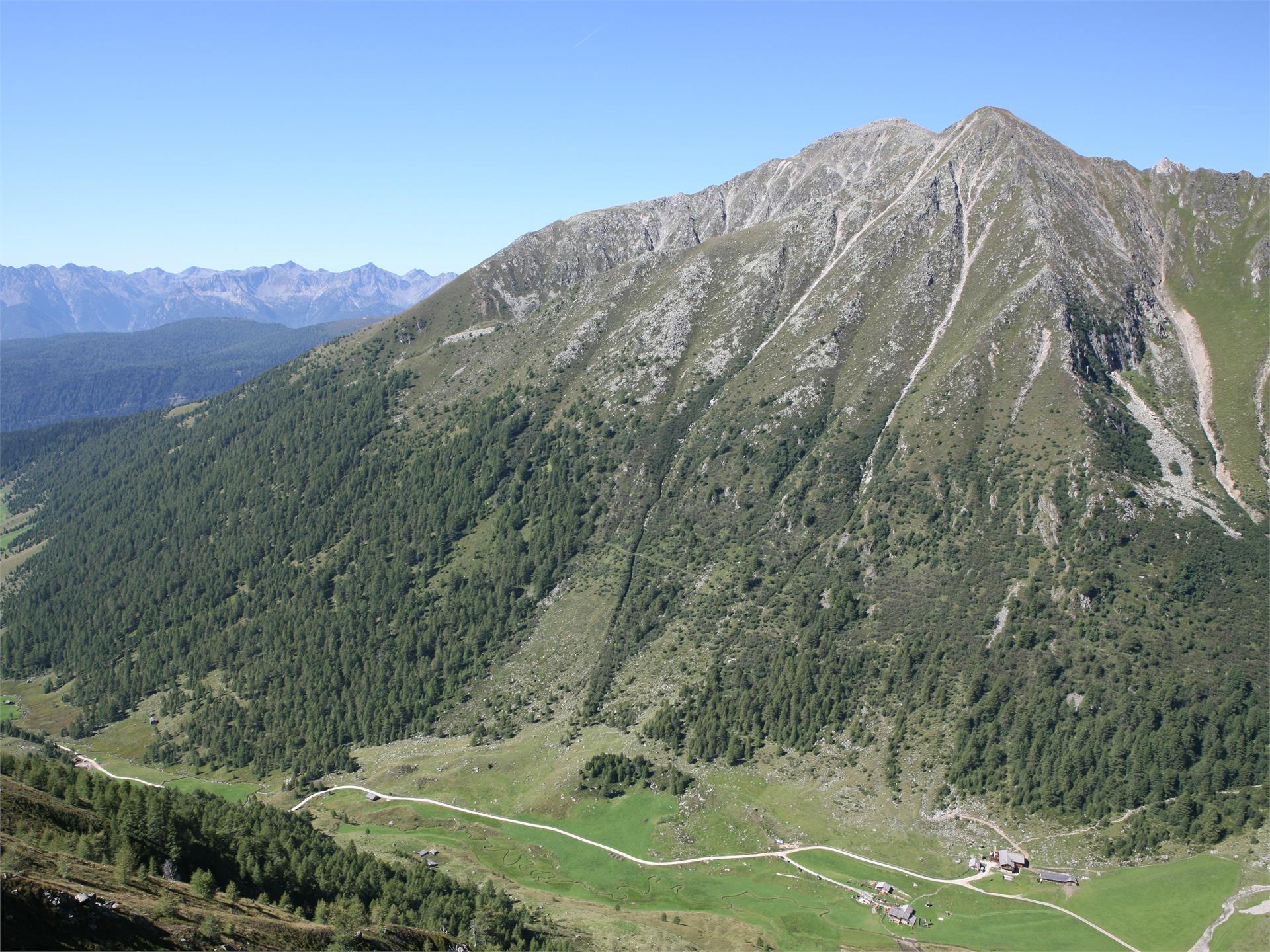
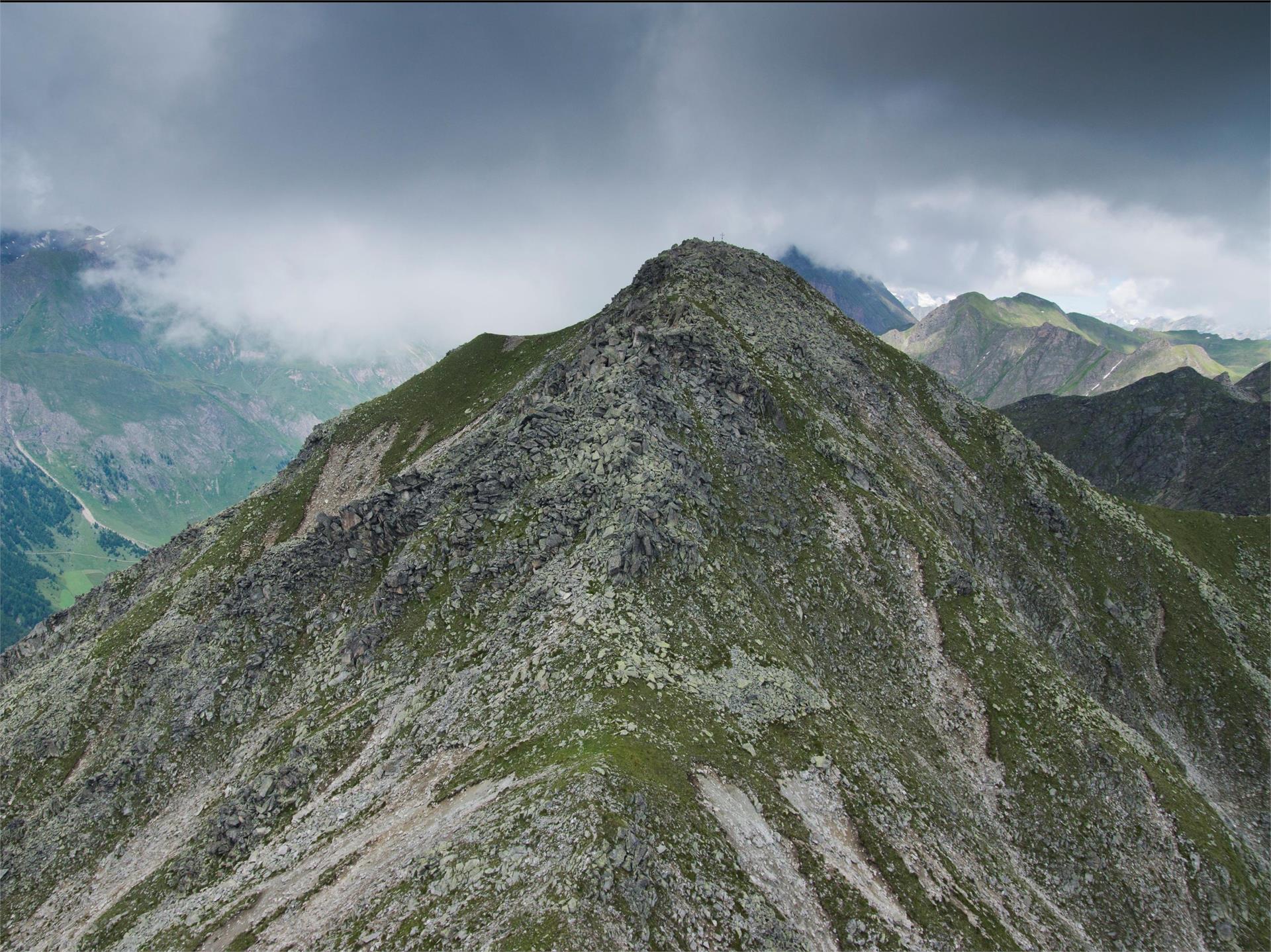
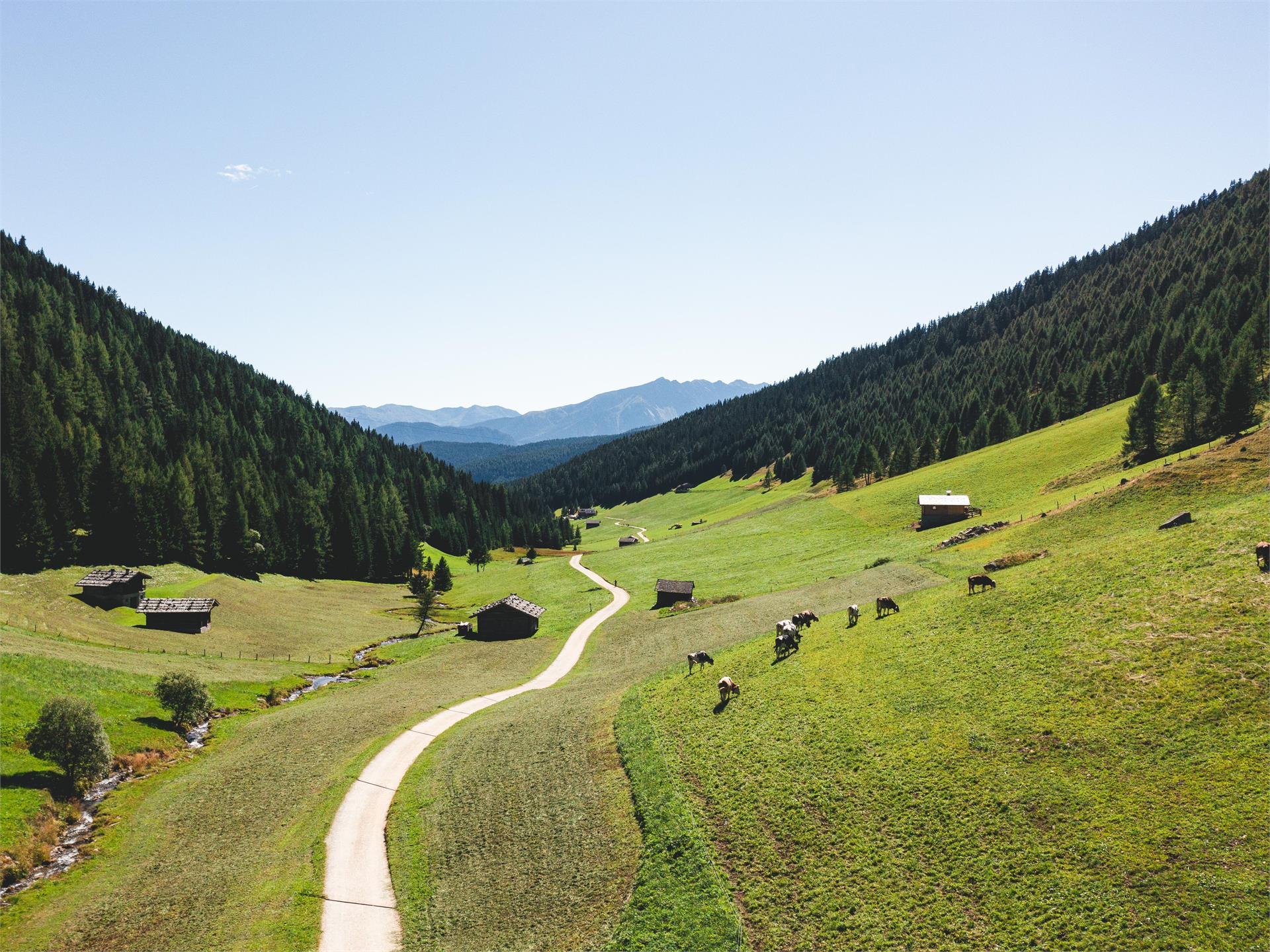
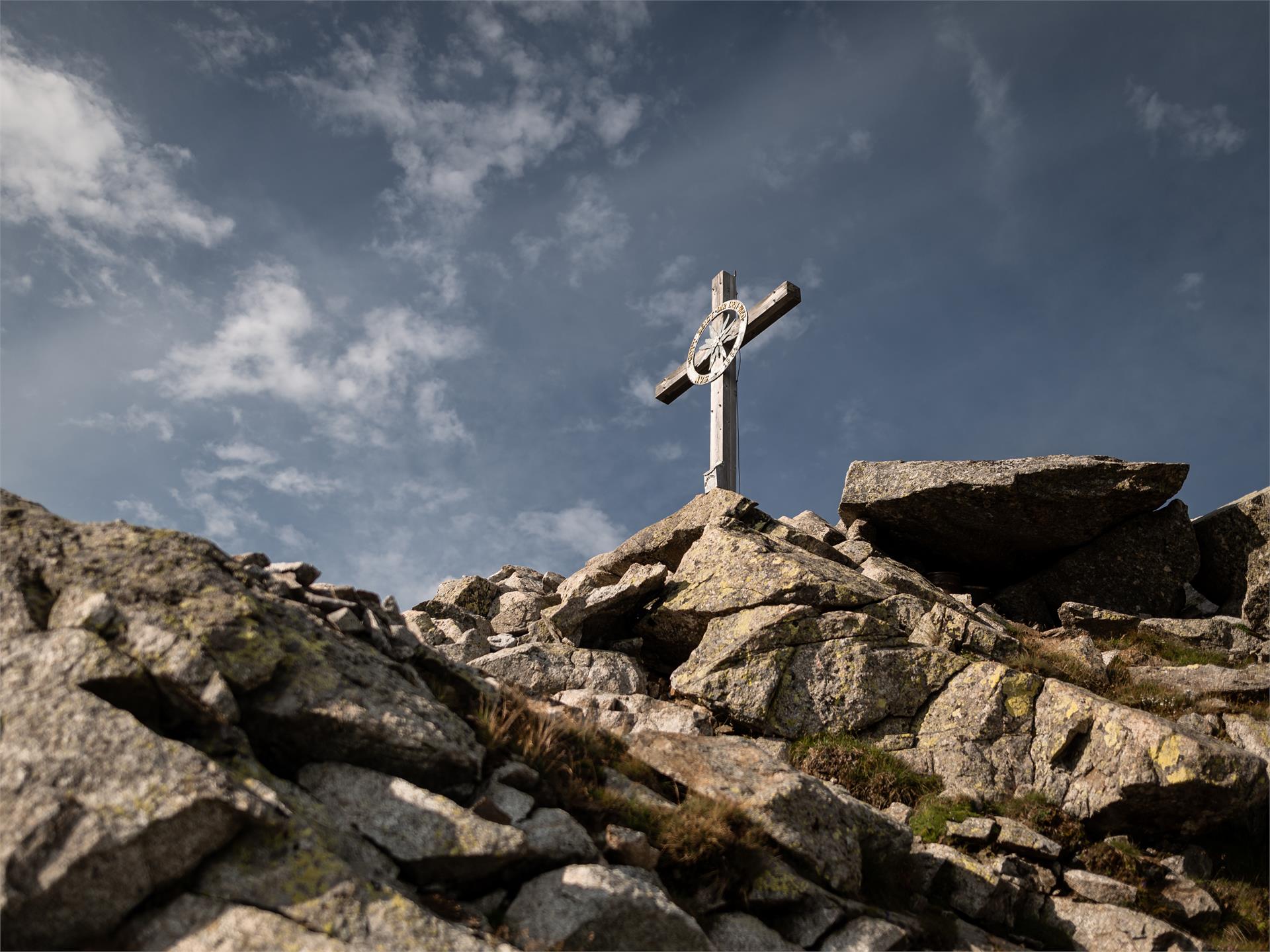
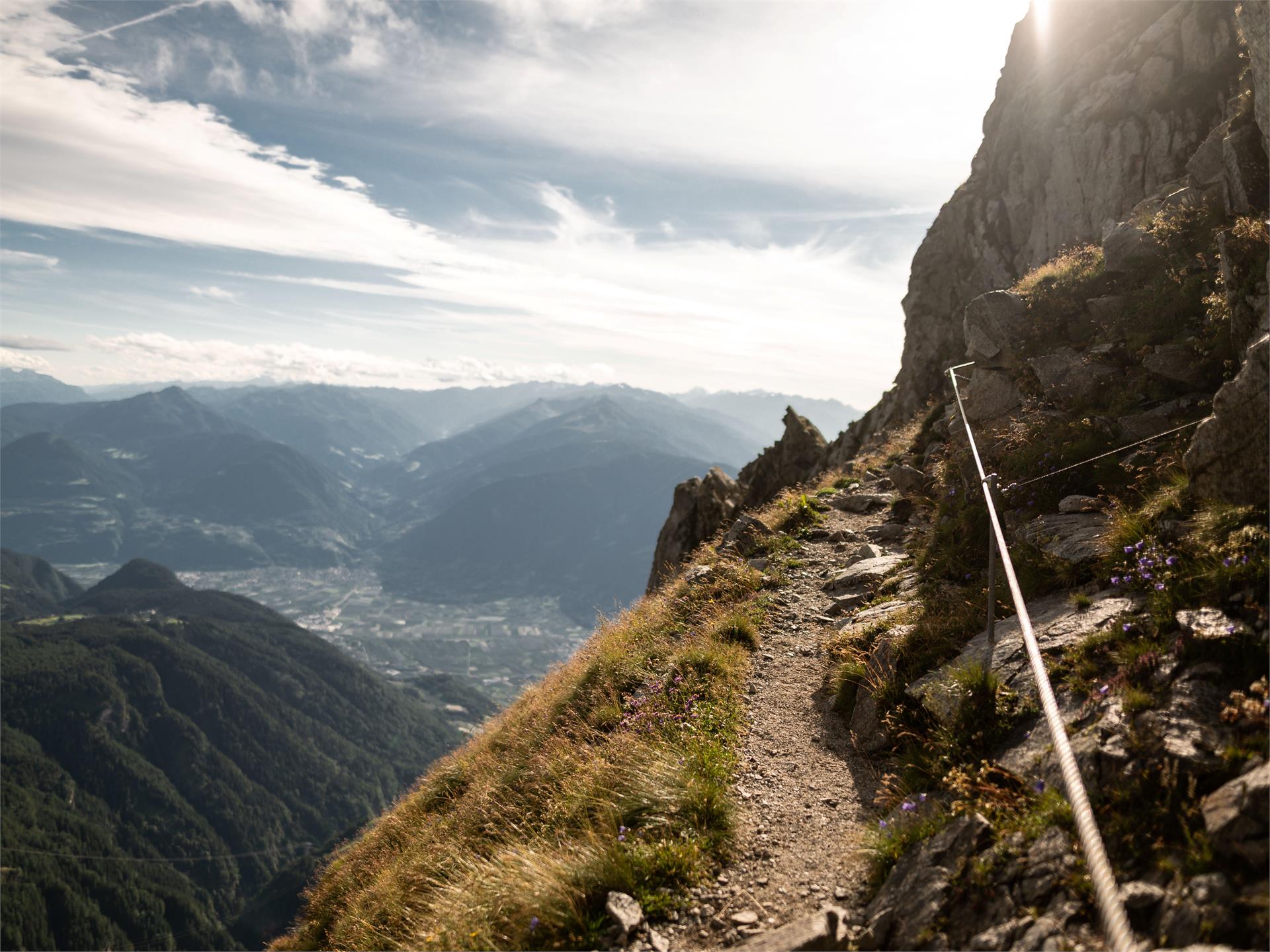
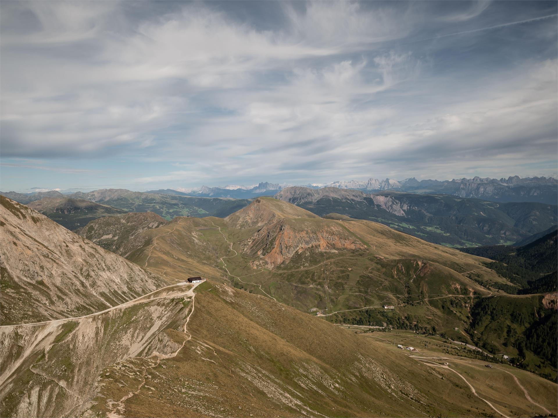
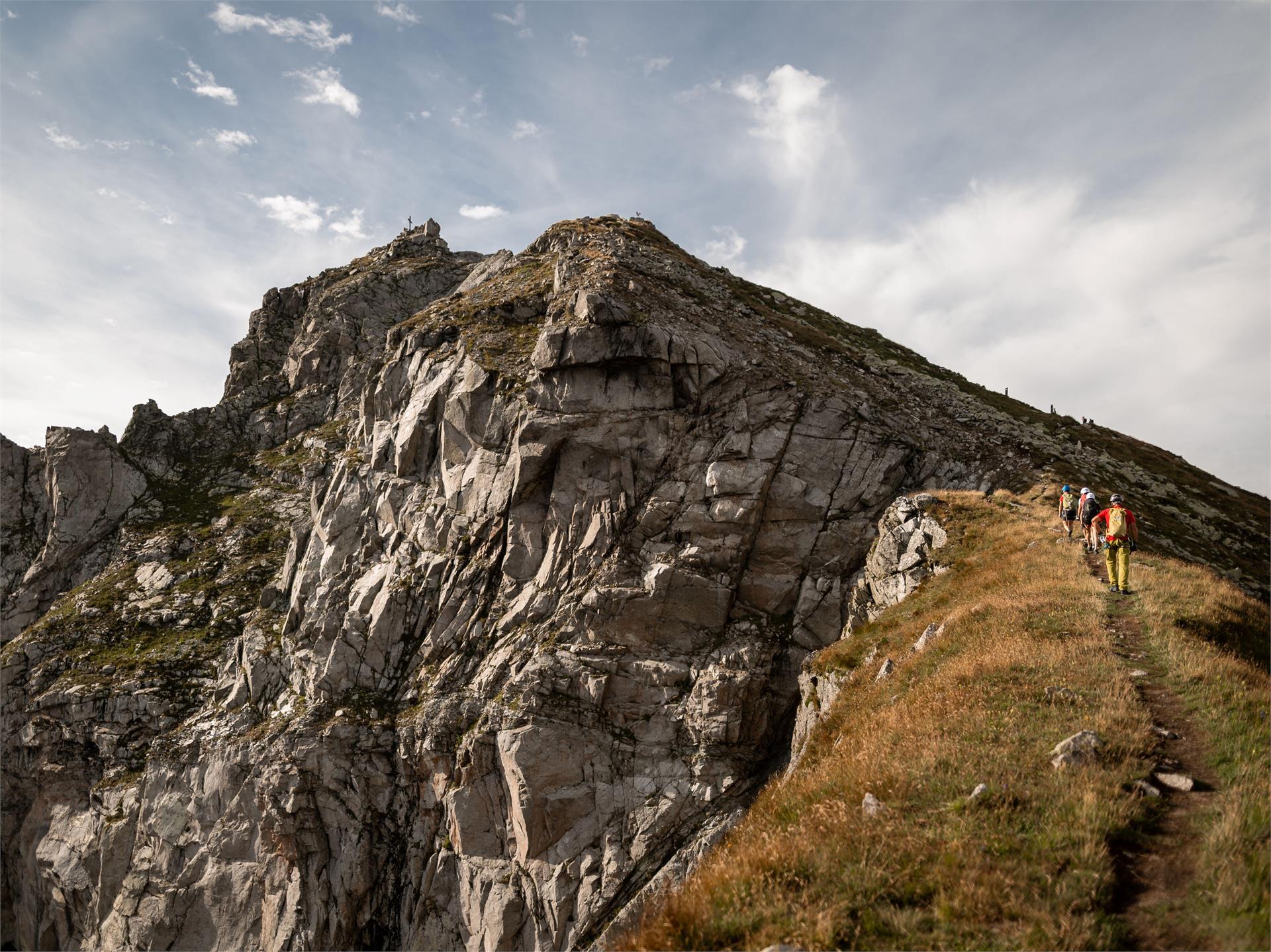
    This hike on the Ifinger peak (2.581m), Scena's local mountain, provides a magnificent panoramic view of the Merano mountains, but requires a head for heights and is only recommended for sure-footed, experienced hikers.

    Difficulty: medium
    750 m elevation gain
    3h:45 min duration
    Mountaineering
    Mountain tour to the Große Windschar
    Gais, Ahrntal/Valle Aurina

    Distinctive high peak with impressive views of the Zillertal Alps, the Venediger and Rieserferner mountain ranges and the Dolomites.

    Difficulty: difficult
    1460 m elevation gain
    7h:00 min duration
    Mountaineering
    Wetterspitze from Maiern/Masseria | Ridnauntal/Val Ridanna
    Ratschings/Racines, Sterzing/Vipiteno and environs

    In Maiern/Masseria, at the end of the Ridnauntal valley, starts the Path no. 27, first through the mountain  forest and then up to meadows. In about 1 ½ hours you reach the mountain pasture Prischeralm (2160m). From there rise up in not steep serpentines for about 1 hour to the pass Maurerjoch (2511m). From the pass continue over the western ridge on a climb to the summit for about ½ hour. Surefootedness and no fear of heights necessary!

    Difficulty: difficult
    1349 m elevation gain
    5h:00 min duration
    Mountaineering
    Hike round the Rosengarten Massif
    Welschnofen/Nova Levante, Dolomites Region Eggental

    The Rosengarten circular route is a magnificent hike for experienced hikers, providing fantastic views of the surrounding mountains.

    Attention: there are some snowfields. For accessibility, mountain experience and the appropriate equipment are required (good hiking boots, hiking poles and possibly crampons).


    Difficulty: difficult
    0 m elevation gain
    5h:00 min duration
    Mountaineering
    Weißspitz/Cima Bianca
    Brenner/Brennero, Sterzing/Vipiteno and environs

    From the mountain pasture Riedberg (Parking place) the trail nr. 3 to the Weißspitz/Cima Bianca. Back on the same way.

    Difficulty: medium
    831 m elevation gain
    3h:49 min duration
    Mountaineering
    Mountain hike: To the mountain Riepenspitze in the Val Casies Valley (2774m)
    Gsies/Valle di Casies

    Panoramic hike in the Val Casies Valley mountains

    Starting point: Val Casies Valley / S. Maddalena head of the valley
    Distance: 16 km
    Descent: circular hike
    Walking time: 06:30 h
    Difficulty: difficult
    Difference in altitude: 1339 m
    Information: www.suedtirolmobil.info - Lin. 441

    Difficulty: difficult
    1388 m elevation gain
    5h:45 min duration
    Mountaineering
    Dobbiaco Alpine Ridgeway
    Toblach/Dobbiaco, Dolomites Region 3 Zinnen

    The Alpine Path of Toblach/Dobbiaco is a strenuous hike due to the km and is therefore only suitable for hikers with stamina. This high trail leads along the Austrian-Italian state border and offers a wonderful view of the Dolomites and the main Alpine ridge. The Bonnerhütte/Rifugio Bonner, the Marchhütte/Rifugio March, the Steinbergalm/Malga Steinberg and the Silvesteralm/Malga San Silvestro invite you to take a break.
    The entire high trail is marked with a yellow H.

    The tour can also be done as a 2-day tour with an overnight stay in the Bonnerhütte/Rifugio Bonner.

    Difficulty: difficult
    1801 m elevation gain
    9h:00 min duration
    Mountaineering
    Jägerscharte 2.870m - Mount Almerhorn 2.986m - Barmerhütte hut 2.610m
    Rasen-Antholz/Rasun Anterselva, Dolomites Region Kronplatz/Plan de Corones

    From the Staller Saddle (2.050 m) > Oberseehütte (2.017 m) > proceed on the left to the Jägerscharte (saddle, belaying-securing with rope) > short ascent to the Almerhorn > back to the Jägerscharte > further on to the Barmerhütte partially going across glaciers > follow the mark n. 112 to the Riepenscharte (saddle, 2.764 m) > descent to the Lake Antholz (mark n. 39).

    Difficulty: difficult
    1238 m elevation gain
    8h:00 min duration
    Mountaineering
    Mountain Hohe Ferse
    Ratschings/Racines, Sterzing/Vipiteno and environs

    From Ridnaun/Ridanna on path no. 26 through the Valtigl valley to the summit. Rare flora and fauna! Fantastic view of the Stubai Alps and the glacier of the Ötztal valley. Surefootedness and no fear of heights necessary!


    Difficulty: difficult
    1163 m elevation gain
    3h:34 min duration
    Mountaineering
    Mountain hike to Sas dla Para
    Prags/Braies, Dolomites Region Kronplatz/Plan de Corones
    Sas Dla Para is located on the mountain pasture of Fordara Vedla. Its 2460 meters of altitude allow us to see as far as Cortina d'Ampezzo. Look at the gleaming roofs of the houses in the distance and experience the feeling of freedom as the alpine jackdaws dance to the rhythm of the wind above your heads.
    Difficulty: medium
    478 m elevation gain
    1h:34 min duration
    Mountaineering
    Seven Lakes hike
    Ratschings/Racines, Sterzing/Vipiteno and environs

    This hike at the foot of the southern Stubai Alps is less visited even though it has a very attractive landscape and leads through an untouched mountain world. From the parking area at the Mining World Museum walk on path no. 28 up to the managed mountain pasture Moarerbergalm (Poschhaus). Leave the path no. 28 at the foot of the rock face towards St. Martin at the Schneeberg and walk at the right side, where you reach path no. 33 to the Moarer Eget lakes in about 1 ½ hours. At the pass Egetjoch (2639m) you reach the highest point of this hike and walk downhill either left past the Eget lakes (no. 33a) or directly down to the lake Trüber See. You need approx. 2 hours for the descent down to the valley. Condition and surefootedness necessary! (There is also the possibility to go up to the Moarerbergalm by bus.)

    Difficulty: medium
    1450 m elevation gain
    8h:00 min duration
    Mountaineering
    Mountain tour to the Hundskehljoch
    Prettau/Predoi, Ahrntal/Valle Aurina

    Boundary paths Prettau/Predoi - Hundskehljoch

    The yoke Hundskehljoch is located at an altitude of 2,557 m above Prettau/Predoi

    Difficulty: medium
    1202 m elevation gain
    3h:47 min duration
    Mountaineering
    The high altitude trail of Laives/Leifers
    Laives/Leifers, Bolzano/Bozen and environs

    An extremely varied and demanding high-altitude trail that crosses rock faces in the southern part. Starting in Laives/Leifers, the trail takes you to the Flavon Castle in Bolzano/Bozen.
    Change of path along the hike: 12, 3

    Difficulty: medium
    1073 m elevation gain
    5h:31 min duration
    Mountaineering
    Mountain hike to Piz da Peres peak
    Al Plan/San Vigilio, Dolomites Region Kronplatz/Plan de Corones
    Piz da Peres (2507 m) is one of San Vigilio's local mountains. It rises above the village and, together with the nearby peaks of Munt Paracia and Monte Sella, watches over its inhabitants.  
    Once you reach the summit, there is a magnificent view of the various surrounding villages and the peaks of Val Badia and Val Pusteria. Seize the opportunity and immortalize yourself in the summit book.
    Difficulty: medium
    1272 m elevation gain
    3h:51 min duration
    Mountaineering
    Mountain hike: The lakes Ochsenfelder Seen in the Val Casies Valley (2555m)
    Gsies/Valle di Casies

    The solitary hike through untspoilt nature

    Starting point: Val Casies Valley / S. Martino tourist information office (1276m)
    Distance: 25 km
    Descent: along the same route
    Walking time: 07:00 h
    Difficulty: difficult
    Difference in altitude: 1279 m
    Information: www.suedtirolmobil.info - Lin. 441

    Difficulty: difficult
    1312 m elevation gain
    4h:49 min duration
    Mountaineering
    Wilde Kreuzspitze peak
    Mühlbach/Rio di Pusteria, Brixen/Bressanone and environs

    The Wilde Kreuzspitze is a spectacular destination for experienced hikers. This route takes you through alpine landscapes, picturesque lakes, and high pastures to over 3,000 meters. Surefootedness and a head for heights are essential, but the stunning views from the summit make it all worthwhile.

    Difficulty: difficult
    1484 m elevation gain
    6h:15 min duration
    Mountaineering
    Eidechsspitze peak: A Summit Adventure with Panoramic Views
    Terenten/Terento, Brixen/Bressanone and environs
    The hike to the Eidechsspitze is an unforgettable experience for seasoned hikers. It combines demanding sections with spectacular views and natural highlights such as the Kompfoss-See. Perfect for those seeking a challenge and a unique adventure.
    Difficulty: difficult
    1588 m elevation gain
    5h:55 min duration
    Mountaineering
    Hochnall 2.231m
    Rasen-Antholz/Rasun Anterselva, Dolomites Region Kronplatz/Plan de Corones
    From Oberrasen or Niederrasen (path n. 3 or 4) > Burgfrieden > following mark n. 3 or passing by Redensberg on the path n. 4 > Hochnall and the proceed to the Rammelstein peak - it is necessary to be experienced.
    Descent: same way back as the ascent or follow mark n. 4 from the Rammelstein > Lahneralm/Unterhütten > then proceed on the forestry road back to Burgfrieden and Rasen.
    Difficulty: difficult
    1145 m elevation gain
    3h:30 min duration
    Mountaineering
    Seefeldspitz: A Summit Hike with Three Alpine Lakes
    Vintl/Vandoies, Brixen/Bressanone and environs
    The hike to the Seefeldspitz is an extended tour requiring endurance, but it rewards you with unparalleled landscapes. Three picturesque mountain lakes along the way invite you to pause and enjoy the scenery. The summit offers a breathtaking panoramic view of the surrounding mountains and valleys.
    Difficulty: difficult
    1166 m elevation gain
    4h:00 min duration
    Mountaineering
    Hike to the Latemar Boulder Labyrinth
    Welschnofen/Nova Levante, Dolomites Region Eggental

    Growing in the Karerwald forest, the hazel tree is used especially for the production of string instruments. For this reason, the wood has also been called ‘tonewood’. You start from the Karerwald forest to walk to the popular boulder labyrinth which acquired its name from the house-sized boulders that fell during a massive landslide from the Latemar mountain long ago.

    Attention: There are fallen trees along path [21].

    Difficulty: medium
    0 m elevation gain
    3h:00 min duration
    Mountaineering
    Excursion from the Costalunga Pass to the Pulpito
    Welschnofen/Nova Levante, Dolomites Region Eggental

    The exhausting ascent will be repaid by an amazing view of the surrounding mountains like the Pala Group, Marmolada, Sella, Sassolungo, Catinaccio and Ötztal Alps.

    Difficulty: difficult
    0 m elevation gain
    3h:00 min duration
    Mountaineering
    High Altitude Trail Stabeler
    Ahrntal/Valle Aurina, Ahrntal/Valle Aurina

    High altitude trail Stabeler - one of the classic high altitude paths in South Tyrol!

    The hike is rated intermediate for level of difficulty and offers unforgettable moments. The tour requires experience, not to suffer from vertigo, sure-footedness, physical fitness as well as suitable equipment. 

    Difficulty: difficult
    2258 m elevation gain
    11h:00 min duration
    Mountaineering
    Summit tour to the top of Hirzer Spitze peak(2.781m)
    Schenna/Scena, Meran/Merano and environs
    At 2781m, the Punta Civina is the highest summit in the Val Sarentino Alps. Its location offers unforgettable views to reward the well-deserving hiker for their efforts.
    Difficulty: difficult
    900 m elevation gain
    4h:00 min duration
    Mountaineering
    Napfspitze: Hiking Adventure with Glacier Views
    Vintl/Vandoies, Brixen/Bressanone and environs

    The hike to the Napfspitze combines diverse landscapes, alpine challenges, and unforgettable views. It's an excellent choice for experienced hikers looking to enjoy tranquility and natural beauty.

    Difficulty: difficult
    1491 m elevation gain
    5h:00 min duration
    Mountaineering
    11 Summit Tour
    Gsies/Valle di Casies

    A lonely hike from summit to summit in between the Antholzertal / Valle Anterselva and the Gsiesertal/Val Casies.

    Oberrasen (1.070 m) - Mudlerhof (1.590 m)- Taistner Alm (2.012 m) - (1) Rudlhorn (2.448 m) - (02) Eisatz (2.493 m) - Ausserriedl/ Innerriedl - (03) Million (2.438 m) - (04) Frisiberg (2.569 m) - (05) Amperspitze (2.687 m) - (06) Karl (2.580 m) - (07) Ochsenfelder (2.609 m) - (08) Napfl (2.428 m) - (09) Knebelstein (2.494 m) - Grüblscharte - (10) Höllensteinspitze (2.755 m) - (11) Rotwand (2.818 m) - Staller Sattel (2.050 m) - Lake Anterselva (1.650 m)

    Length 33,0 km D+ 2850 HM D- 2280 HM

    Difficulty: difficult
    3139 m elevation gain
    12h:10 min duration
    Mountaineering
    Hochgrubbachspitze: Peak Adventure Above the Winnebachtal
    Terenten/Terento, Brixen/Bressanone and environs
    The hike to the Hochgrubbachspitze is a must for mountain enthusiasts. It takes you through diverse landscapes, including waterfalls, alpine pastures, and a serene mountain lake. The summit rewards you with unforgettable views of the surrounding peaks.
    Difficulty: difficult
    1407 m elevation gain
    5h:58 min duration
    Mountaineering
    The St. James pilgrimage route in the Ahrntal valley
    Vintl/Vandoies, Ahrntal/Valle Aurina

    This pilgrimage route leads from Krimml in Pinzgau (AUT) to the Tauern Pass (Ahrntal valley, South Tyrol), then on to St. Jakob/San Giacomo, Weißenbach/Rio Bianco and the Chemnitzer Hütte refuge (Lappach/Lappago). It then continues to the Edelraut Hütte refuge (Lappach/Lappago), via the Pfunderer Valley (Puster Valley) to the trail junction at Niedervintl, and then down in to Switzerland (Müstair) via the Eisack and Vinschgau valleys or via the Brenner Pass to Innsbruck (AUT).

    Starting from the historic Tauernweg trail, the route continues from Heilig Geist in Kasern/Casere towards St. Jakob/San Giacomo, Weißenbach/Rio Bianco and the Chemnitzer Hütte and Edelraut Hütte refuges with a descent through the Weitental Valley to Niedervintl. The extended route leads along the existing Way of St. James through the Eisack Valley to Bolzano, the Vinschgau Valley and Müstair in Switzerland. Alternatively, from Mühlbach there is another variant, which heads further north to Sterzing and Brenner and finally to St James' Cathedral in Innsbruck.

    Difficulty: medium
    4762 m elevation gain
    27h:00 min duration
    Mountaineering
    Kempspitze: A Summit Adventure for Experienced Hikers
    Terenten/Terento, Brixen/Bressanone and environs
    The hike to the Kempspitze combines moderate trails up to the hut with challenging sections near the summit. Waterfalls, alpine meadows, and the Tiefrastensee make this ascent a diverse and memorable experience. Perfect for those seeking a challenge and an adventure.
    Difficulty: difficult
    1306 m elevation gain
    5h:50 min duration
    Mountaineering
    Gaisjoch: A Hike on the Trail of Chamois
    Mühlbach/Rio di Pusteria, Brixen/Bressanone and environs

    The Gaisjoch is known as the mountain of chamois and offers a varied circular hike with spectacular views and unique alpine experiences. Whether hiking along the ridge or stopping at one of the rustic huts, this tour combines a sporty challenge with the beauty of nature.

    Difficulty: difficult
    1045 m elevation gain
    3h:47 min duration
    1 2 3 4 5 6 7 8 9 10 11 12 13