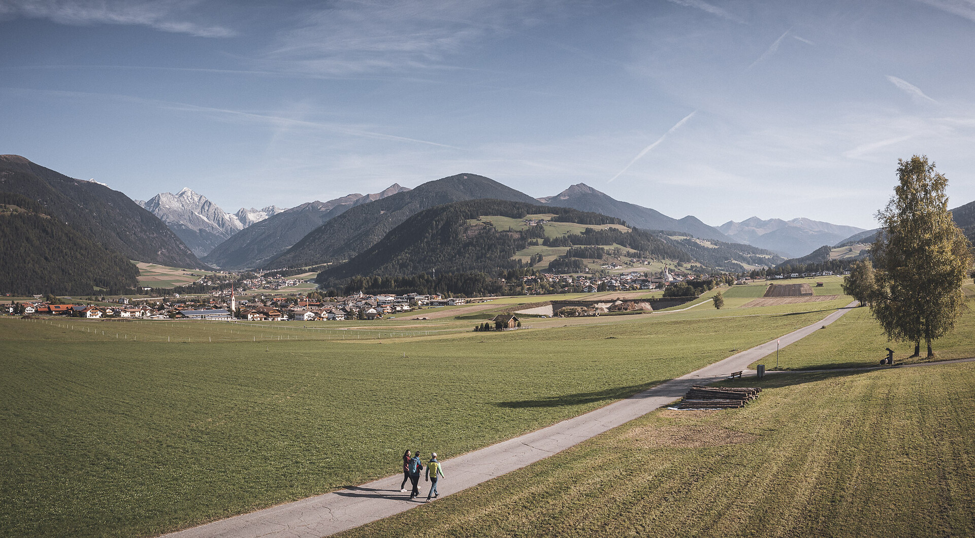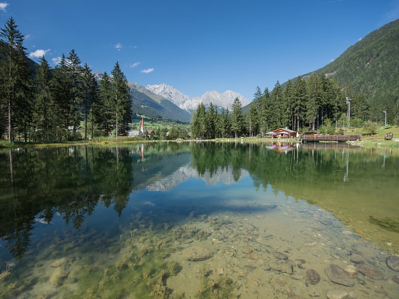
Summer
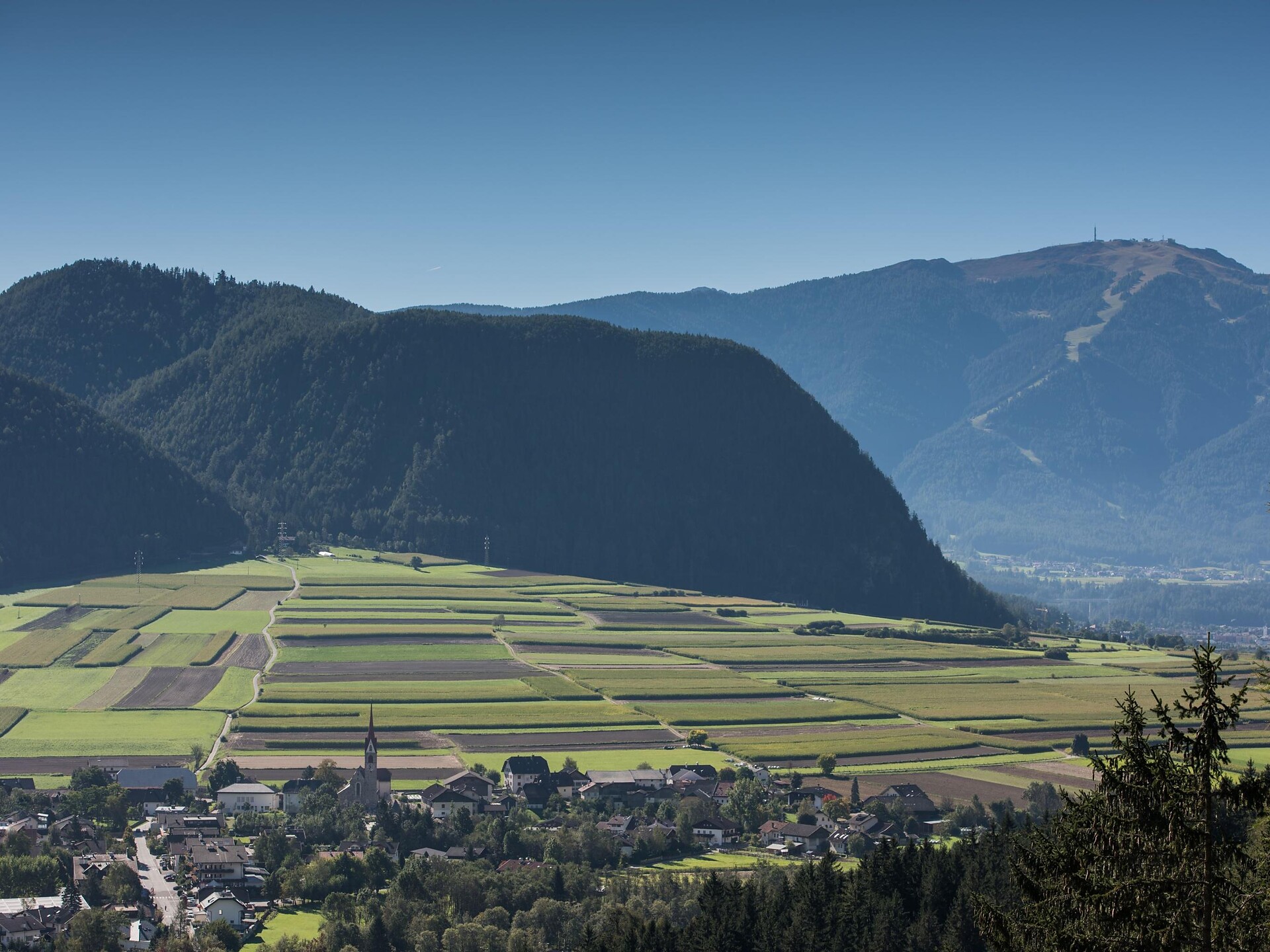
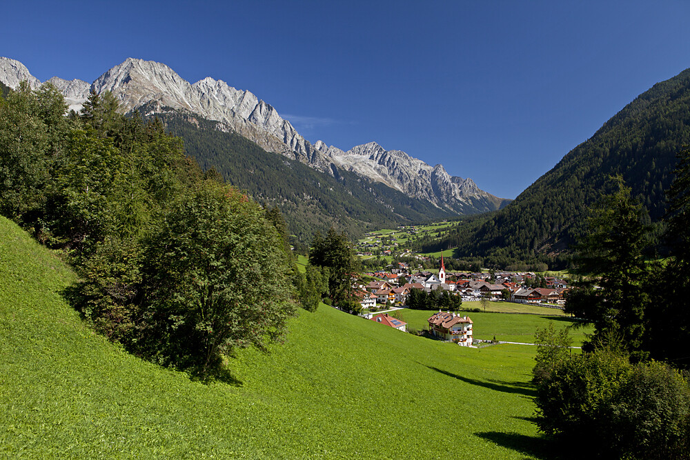
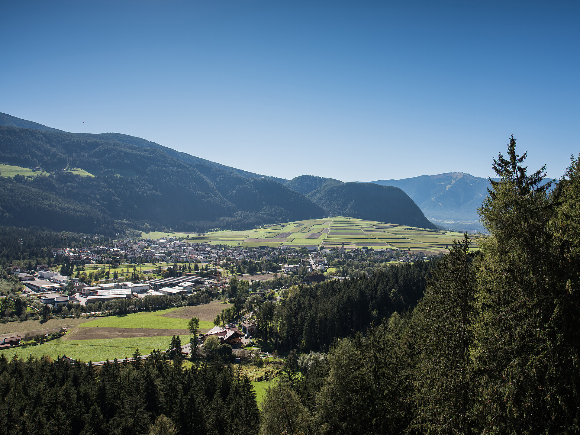
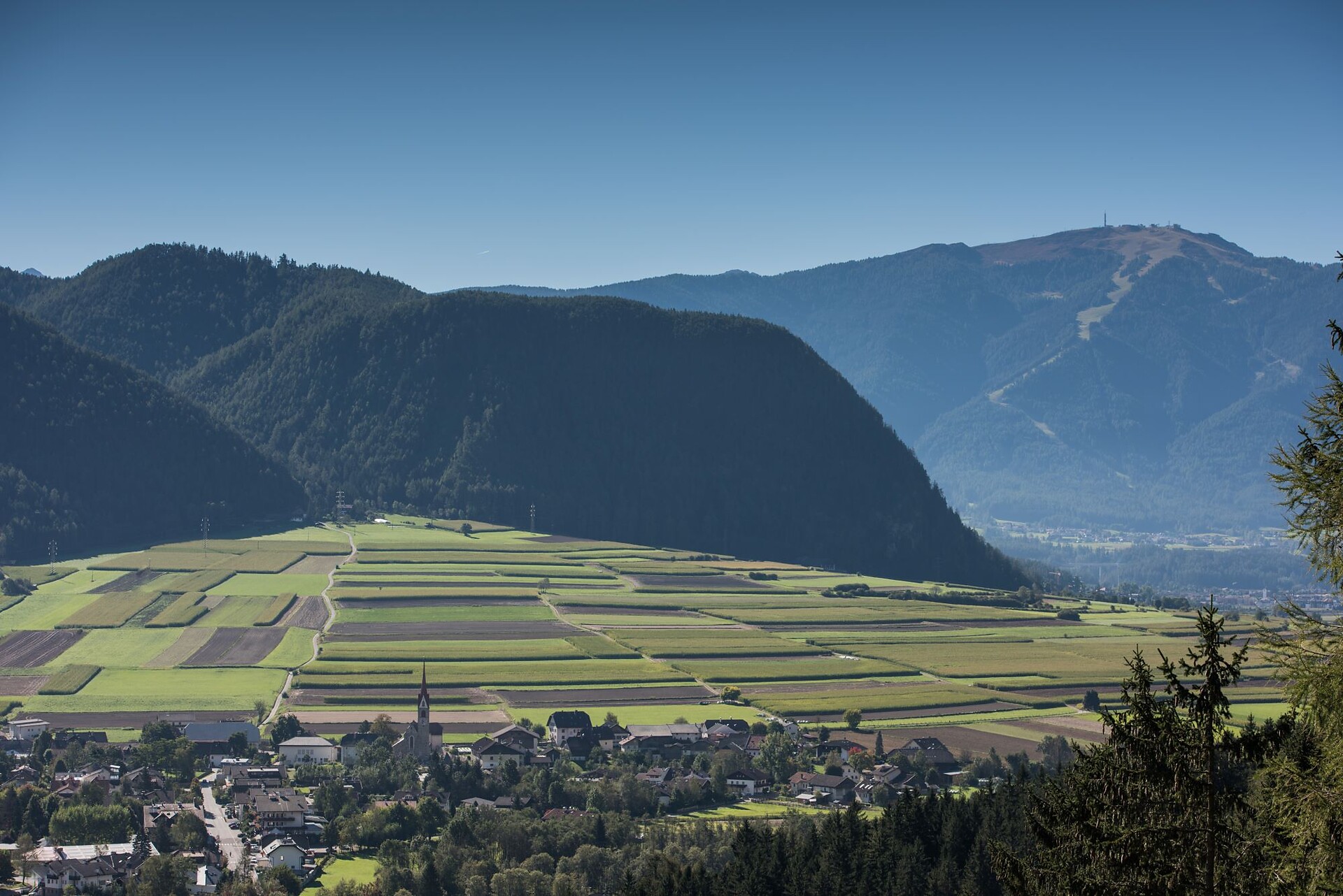
Rasen-Antholz/Rasun Anterselva, Dolomites Region Kronplatz/Plan de Corones
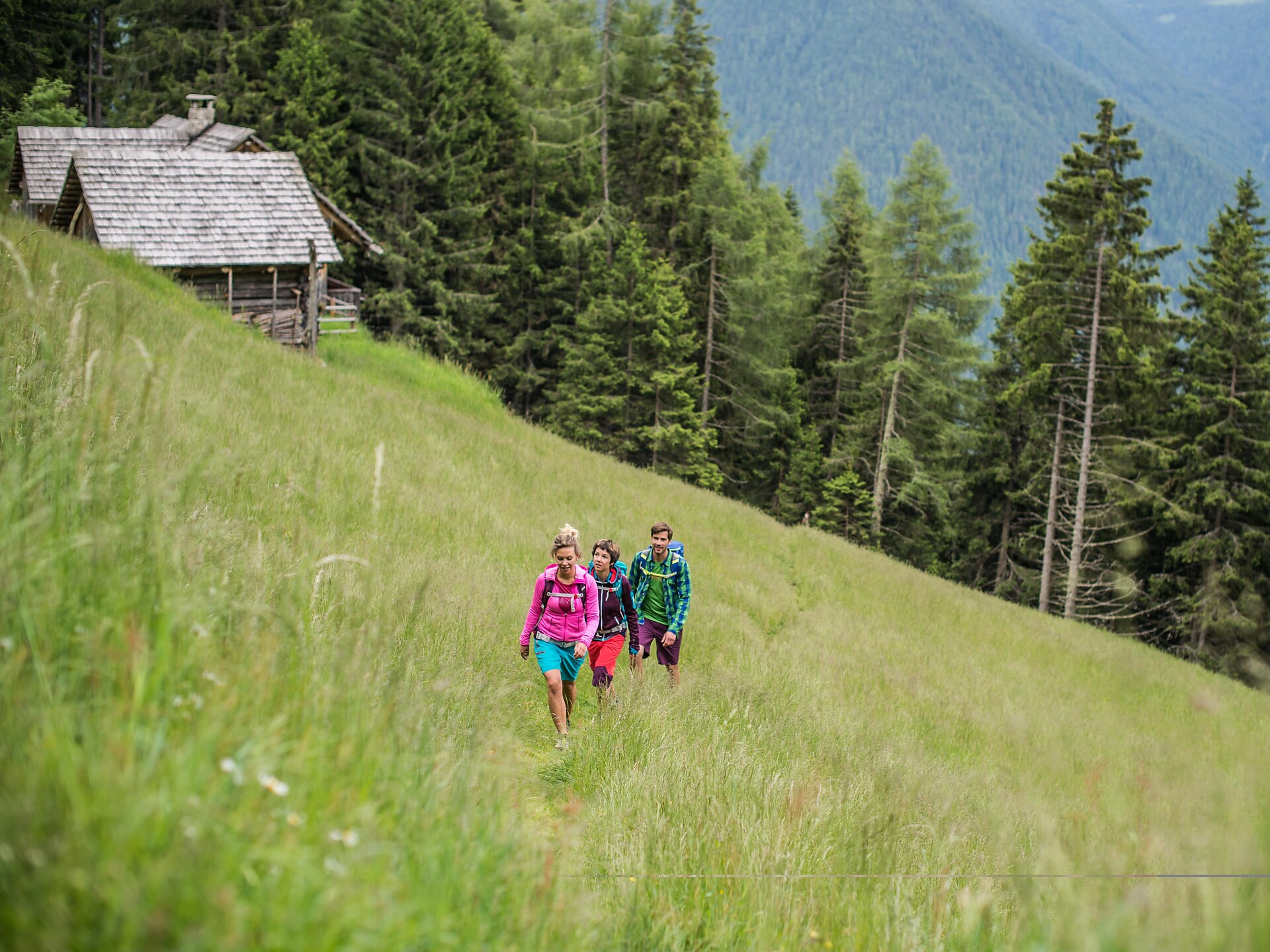
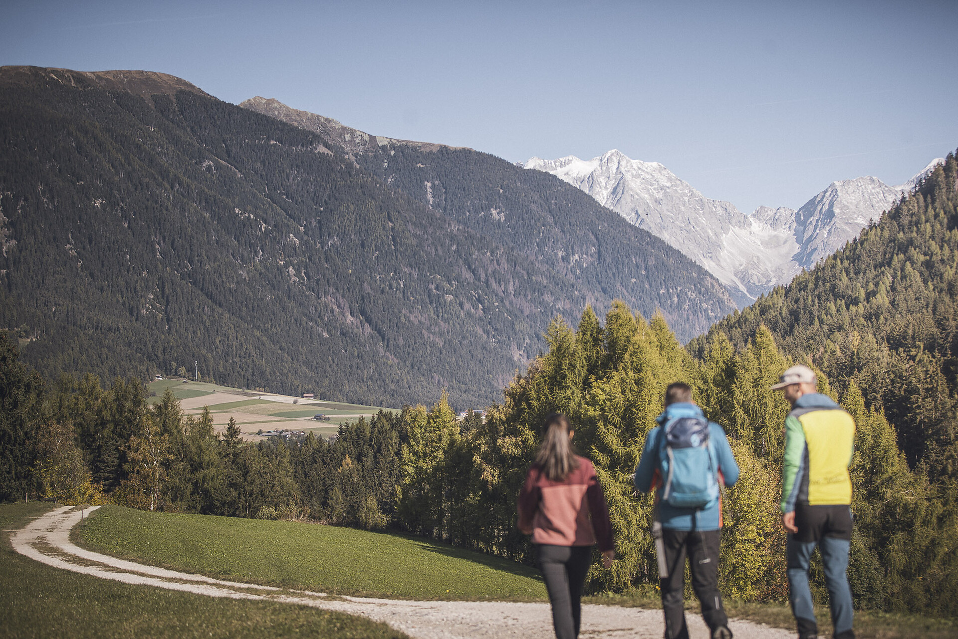
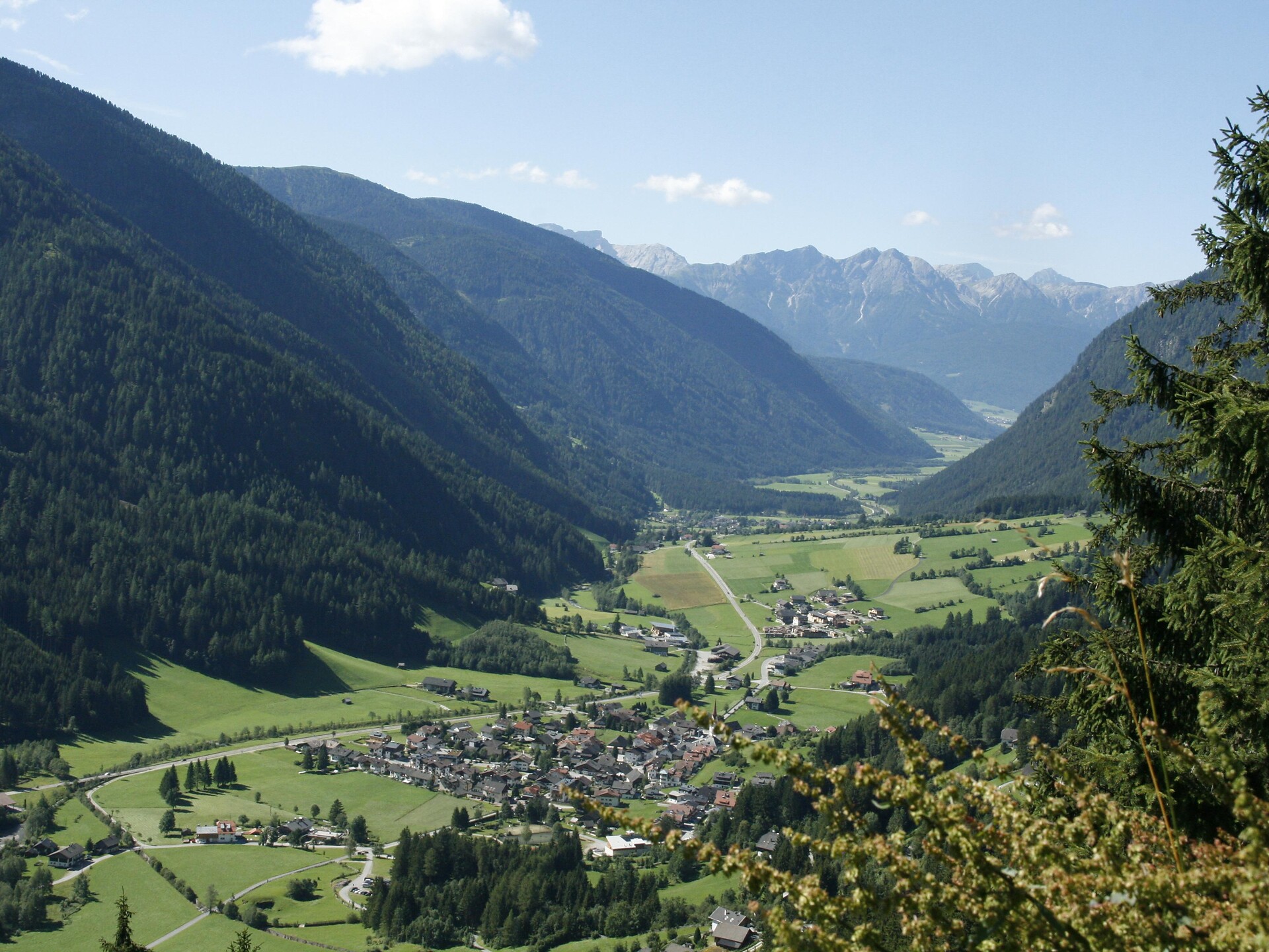
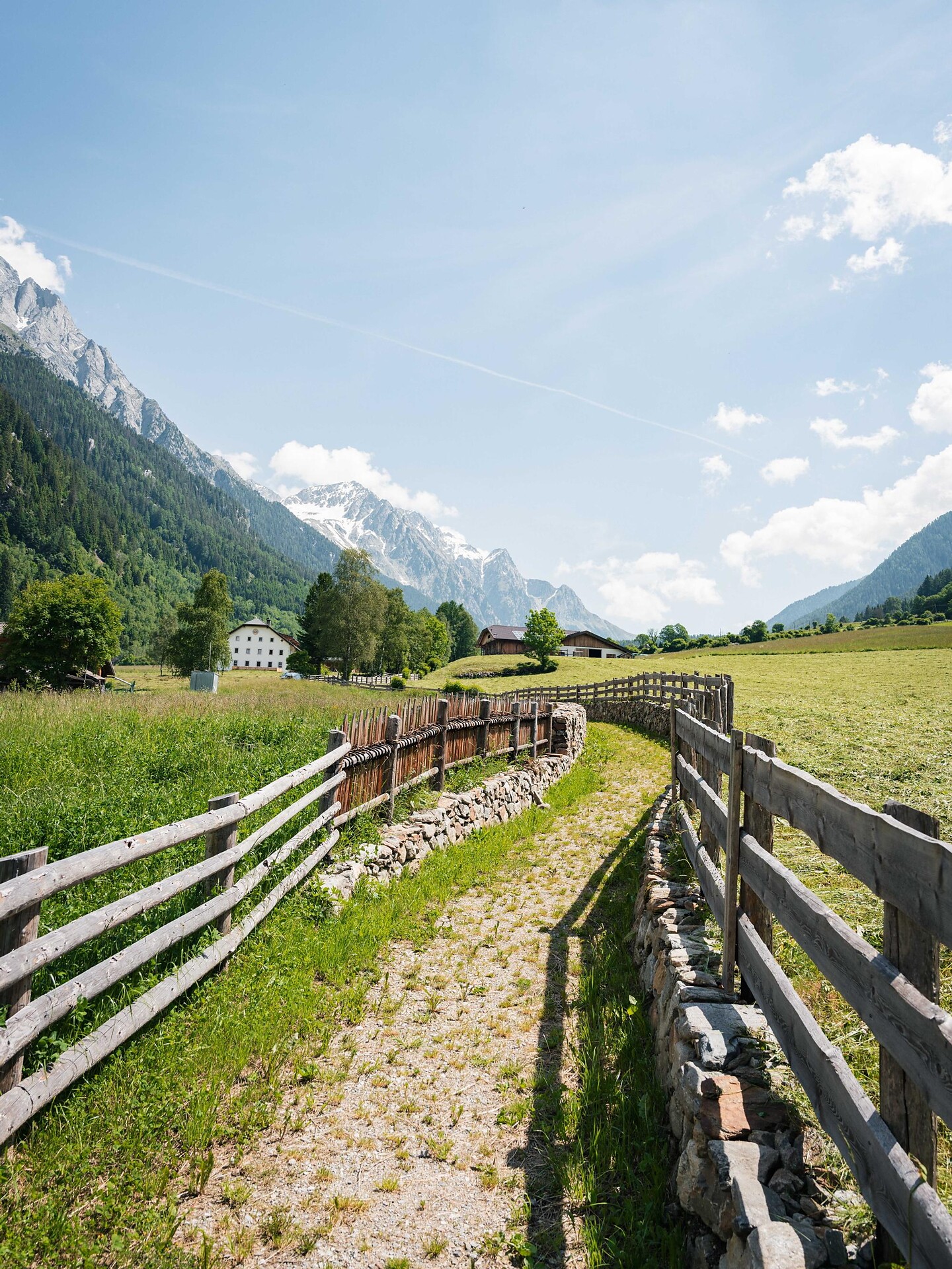
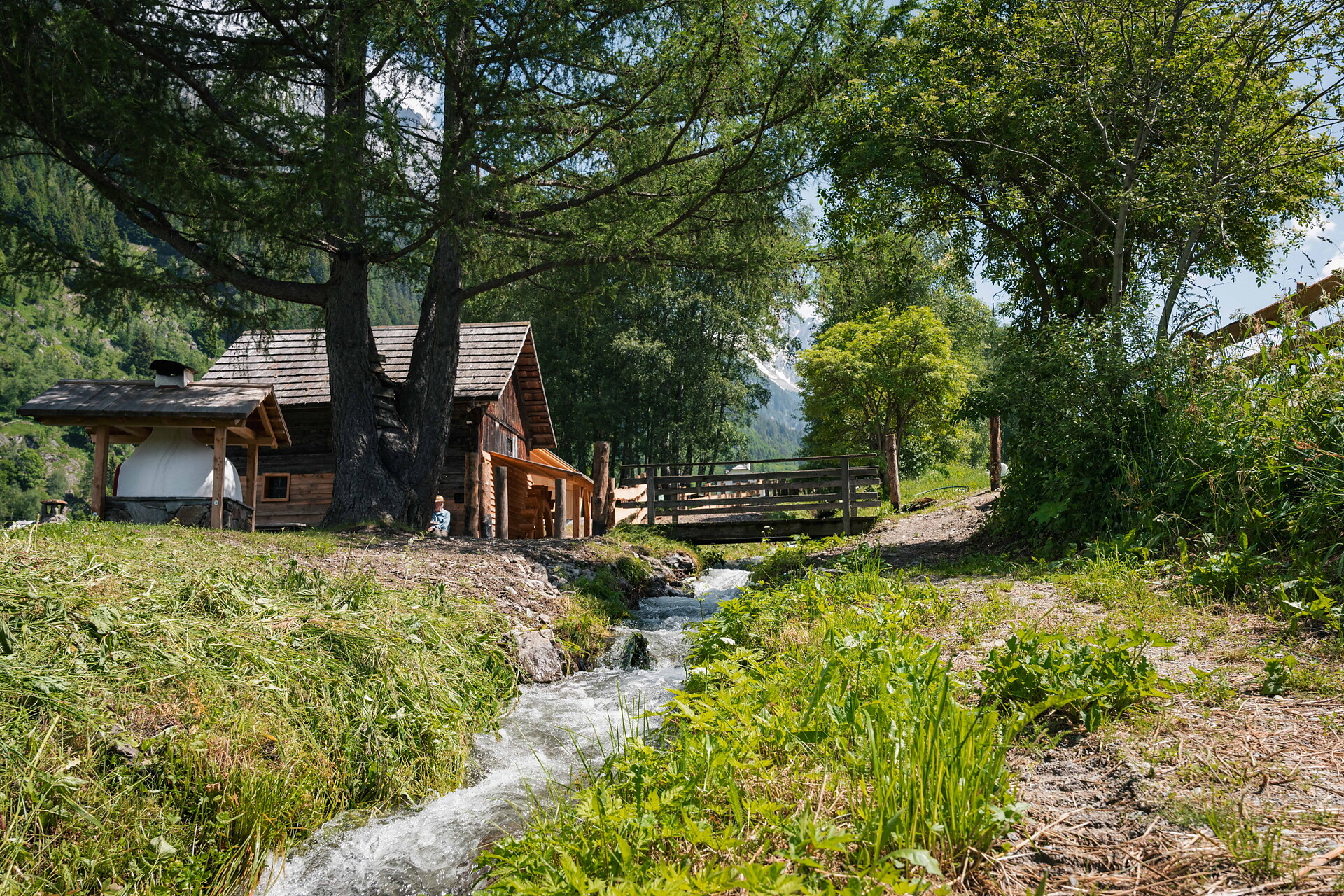
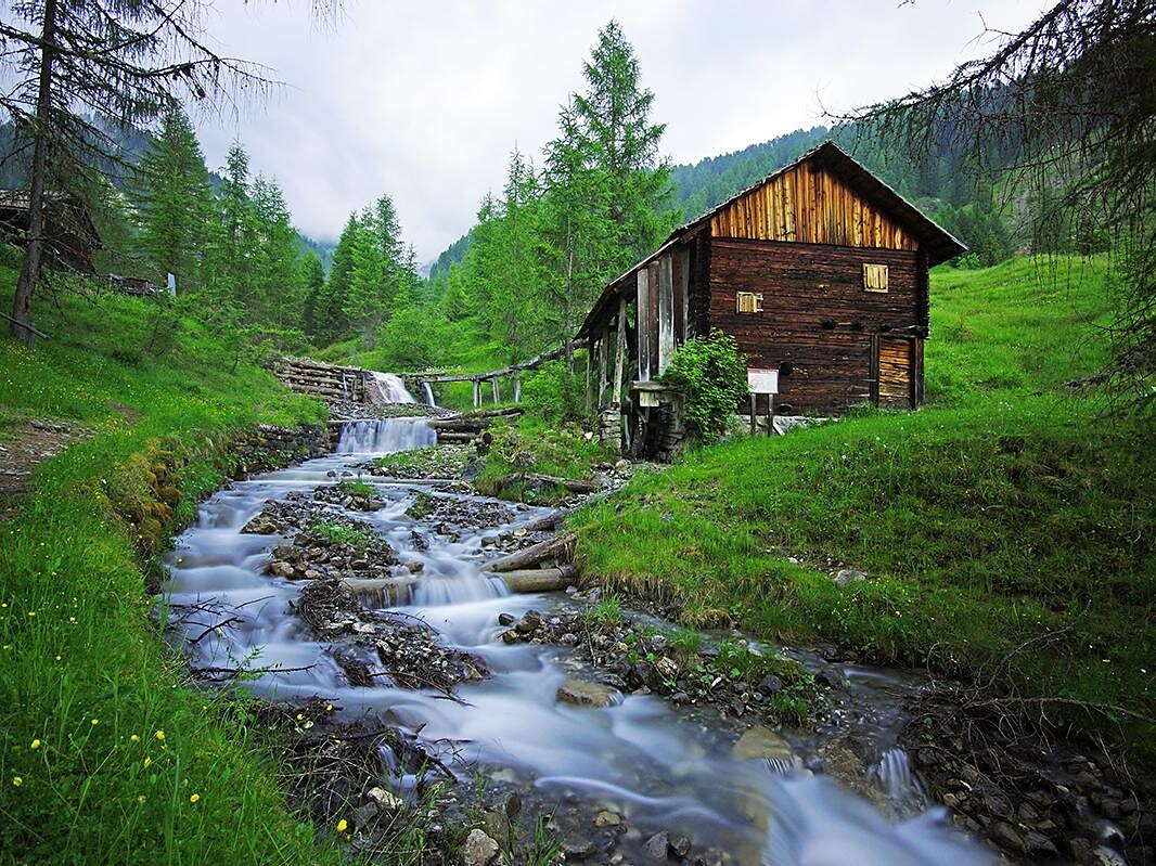
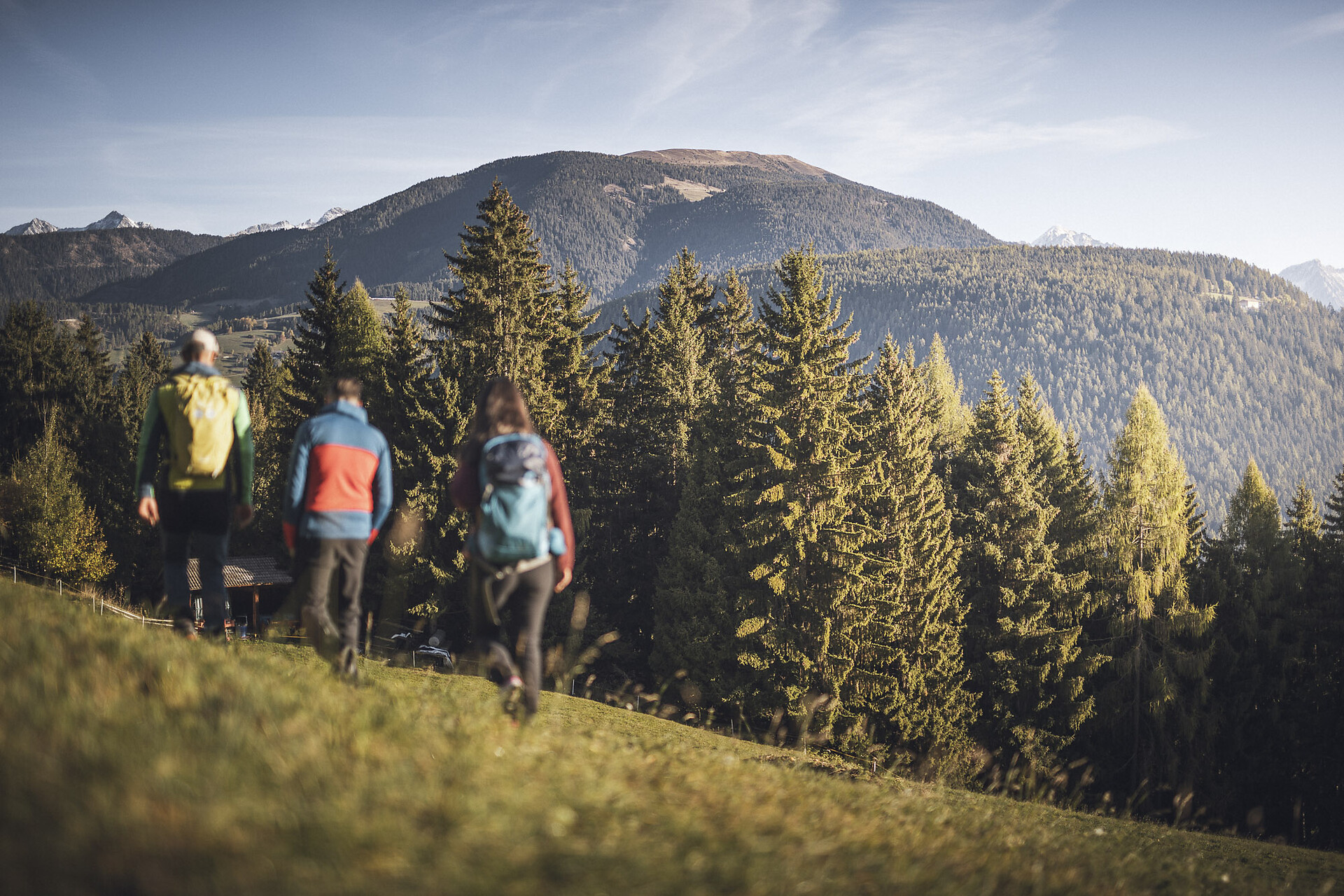
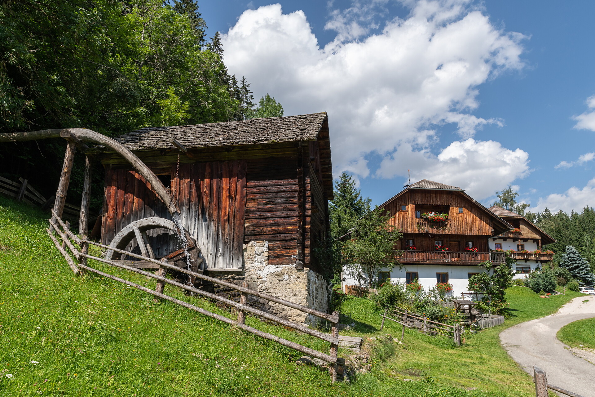
From Antholz Niedertal > passed the curch > Maierhöfe (Pfaffingerhof) > Wiesemannhof > Ausserweger sawmill > Antholz Mittertal and lastly back to Antholz Niedertal on the main road.
This hike can also be started from Antholz Mittertal!