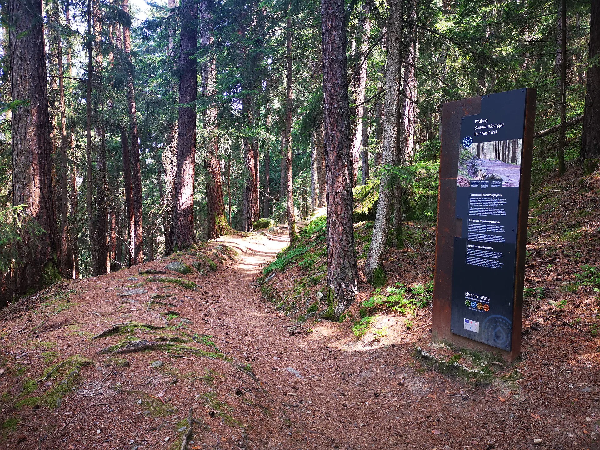
The „Gaisinger Waalweg“ is a popular attraction, which not only offers a great hiking experience for all, young and old, but also provides interesting cultural and historical insights.
The starting point of the hike is the parish church in Gais. From here, walk in the direction of the street "Talfriedenstraße", then cross the "Ahr" bridge and continue walking, between the houses, in a north-easterly direction up to the forest, where the "Waalweg" begins (about 20 minutes' walk from the bridge). The path leads flatly through the steep forest hillsides in a southerly direction and ends north of the Bärentalhof farm, where it joins a wide corridor path. You turn right and return to the starting point of the hike on the slightly descending field path that runs through meadows and fields.
Public transport from Mobility Center Bruneck/Brunico:
With the bus no. 450 to Gais - bus stop "Dorf/Paese".

To complete your subscription, open the email we just sent you and click on the confirmation link.
Can’t find it? Check your spam folder too.