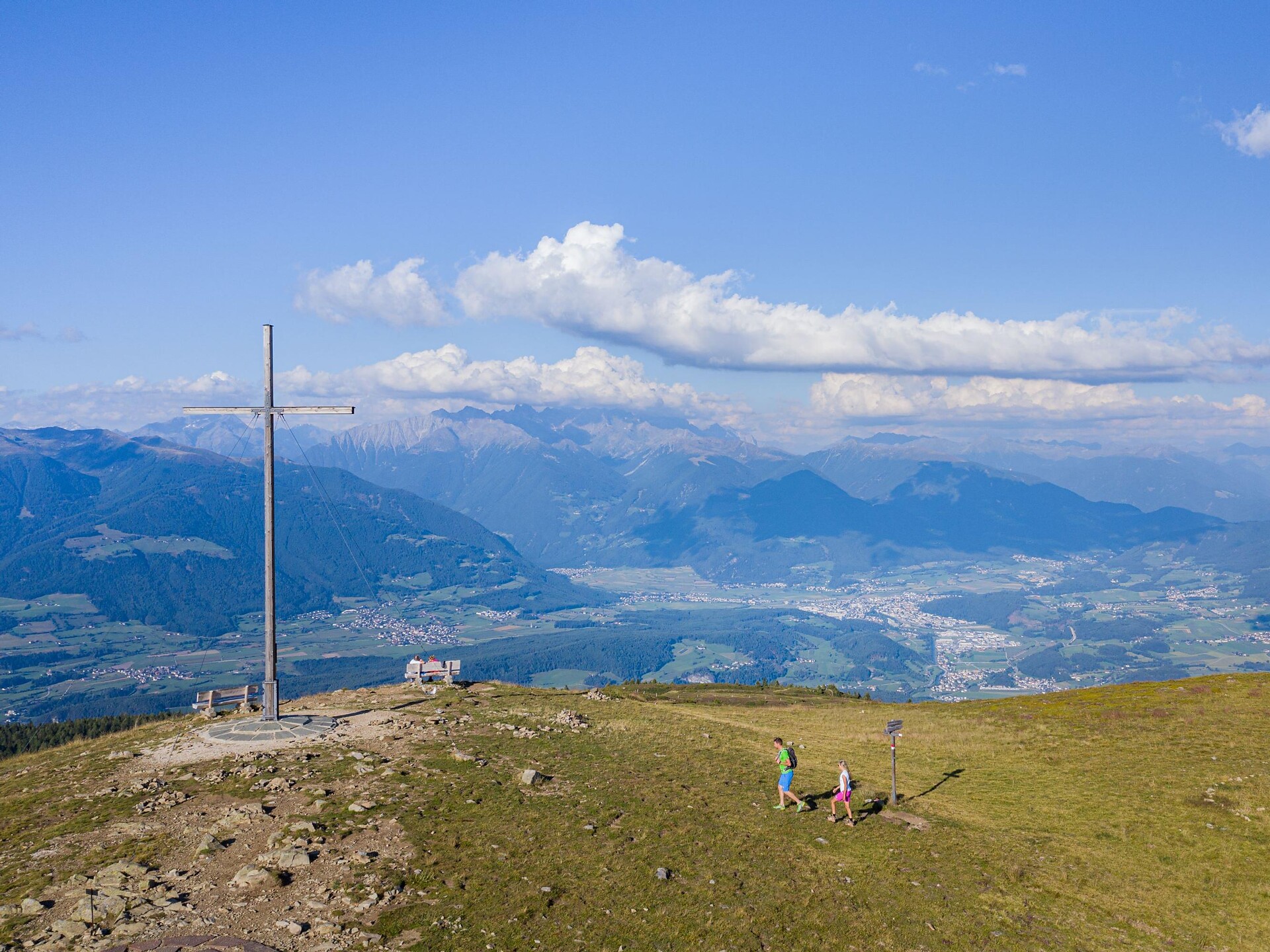
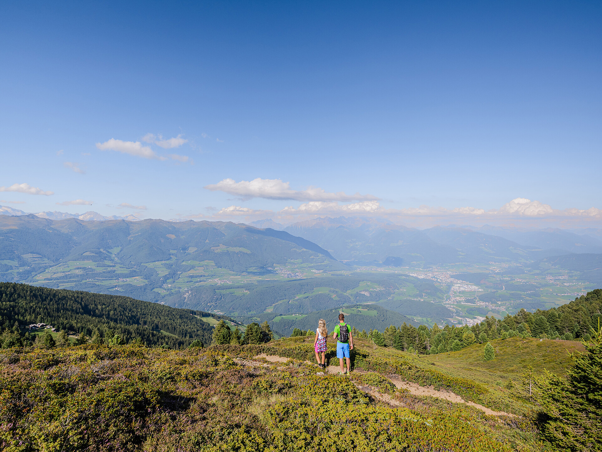
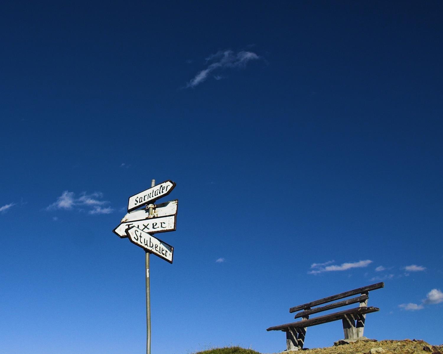
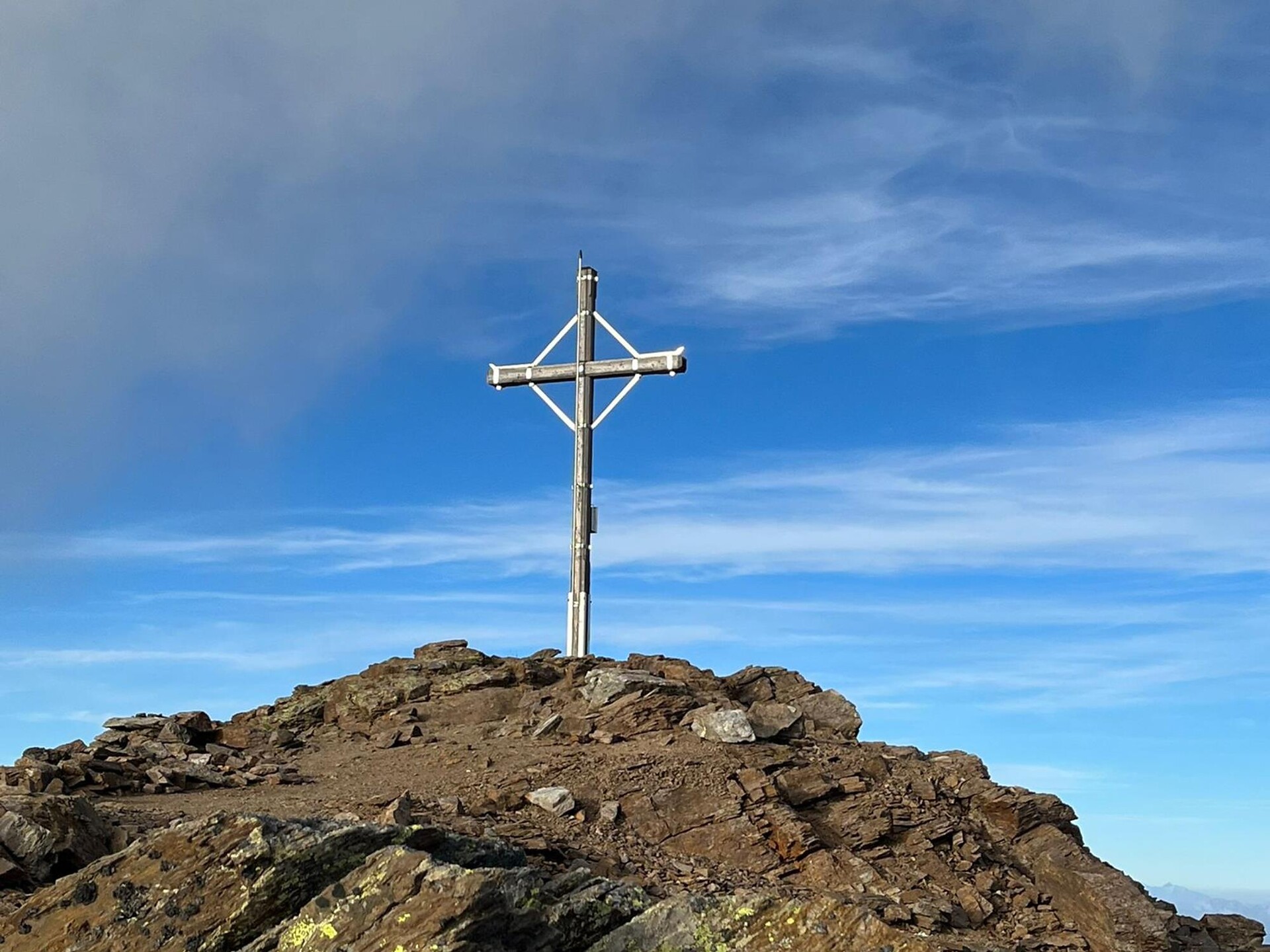
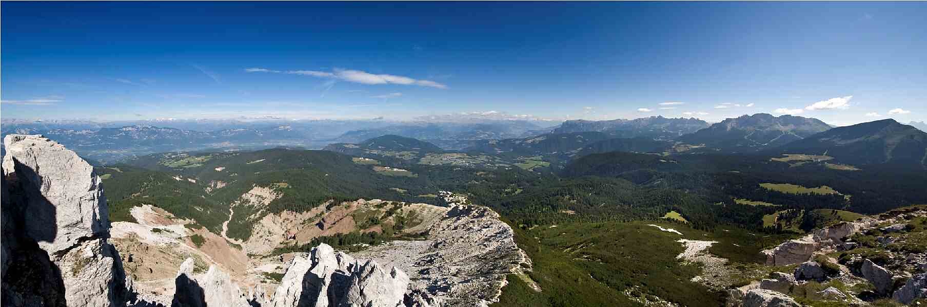
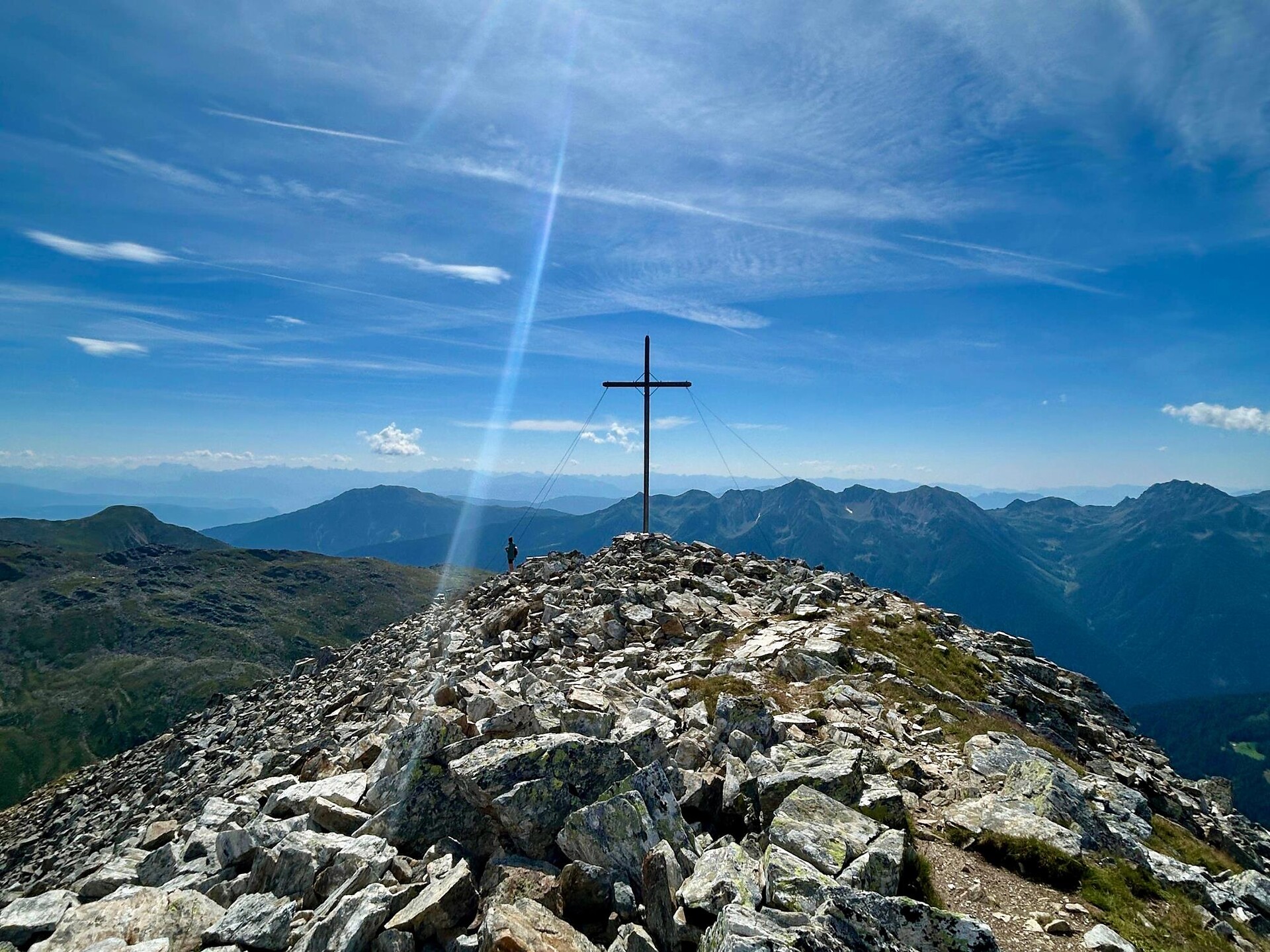


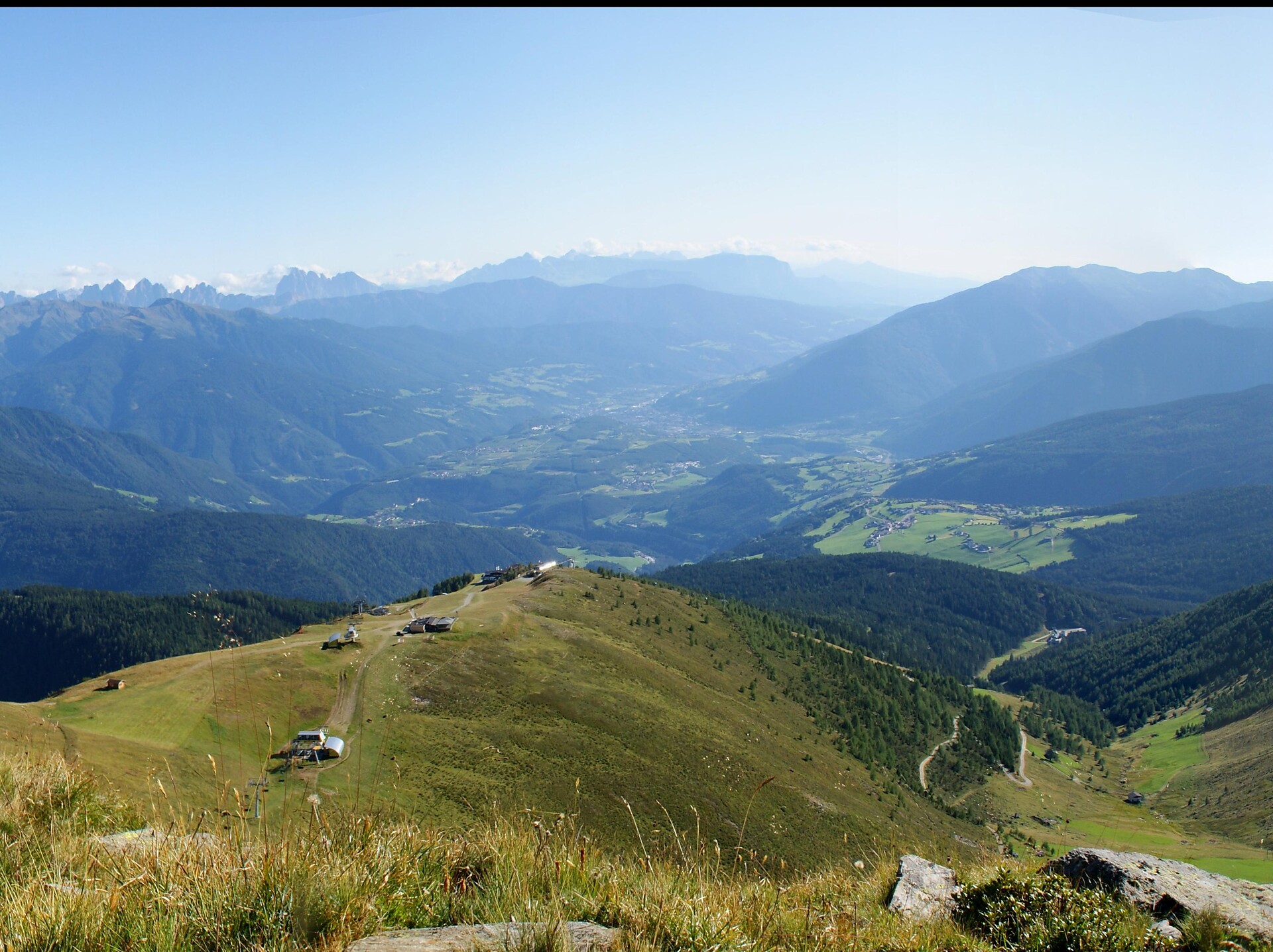
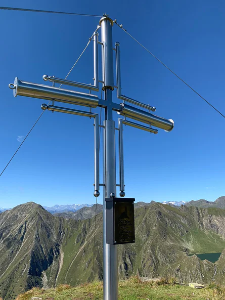


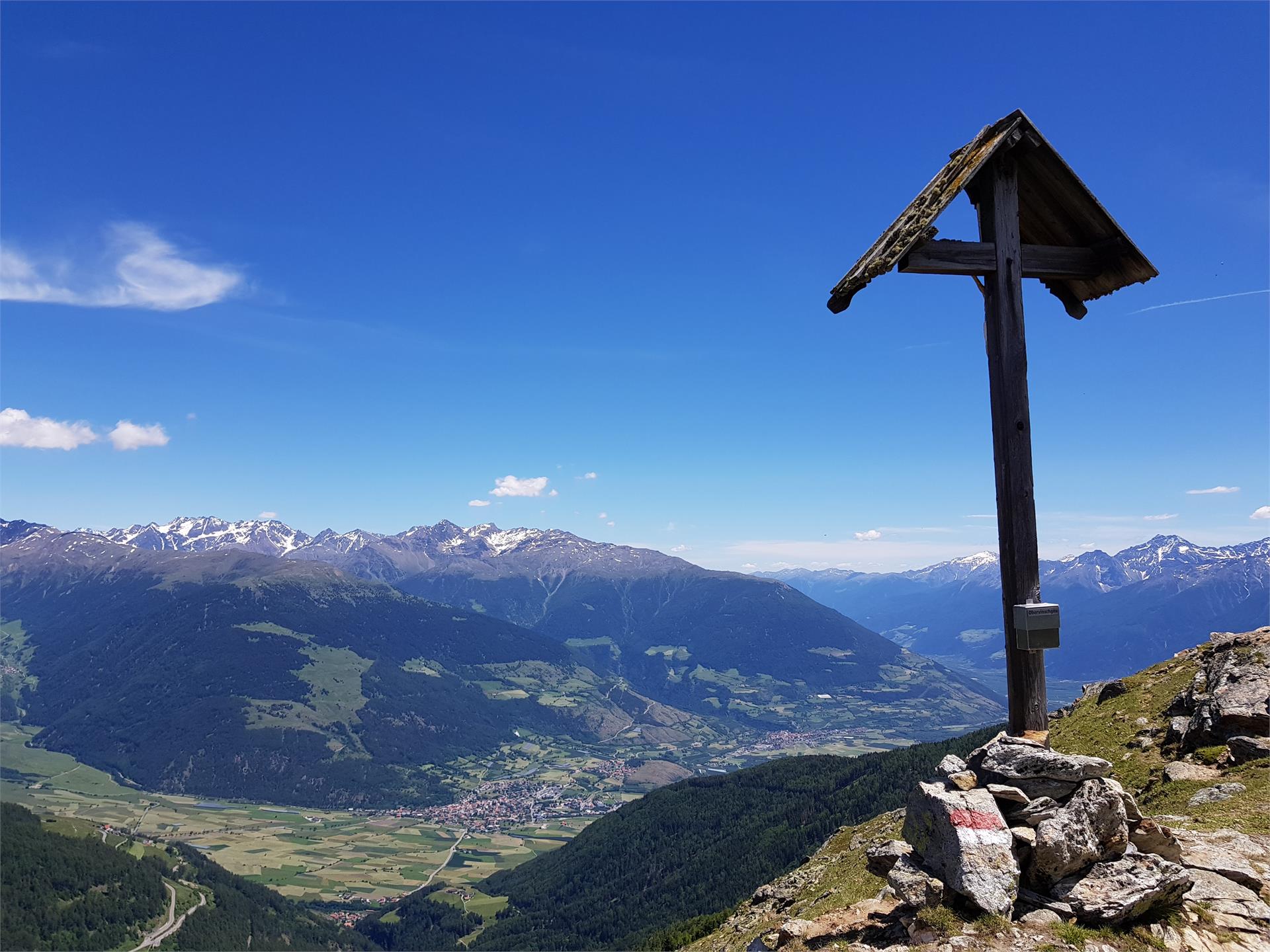
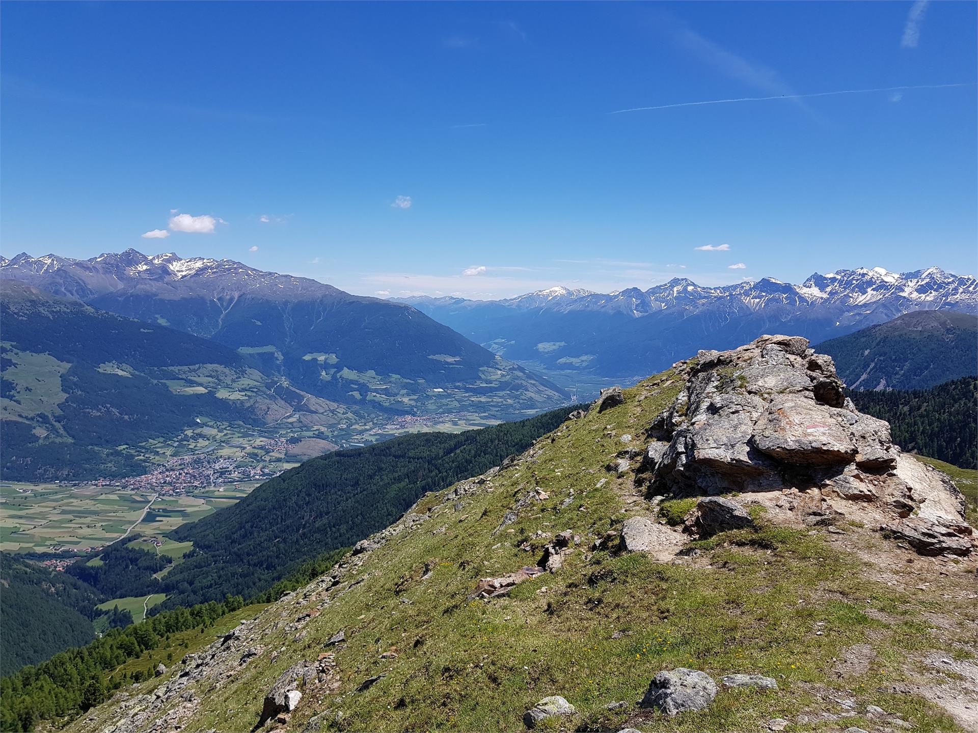
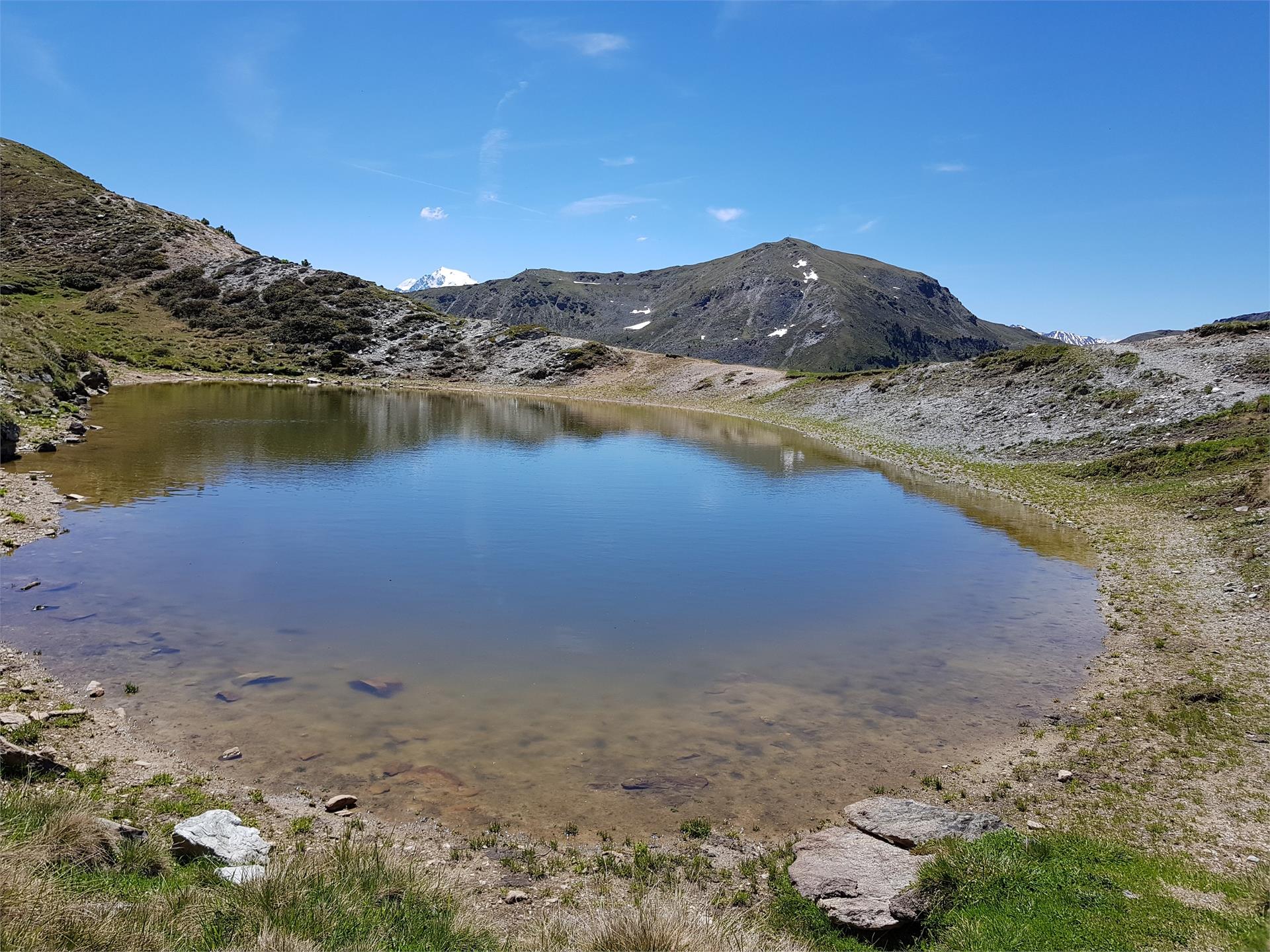
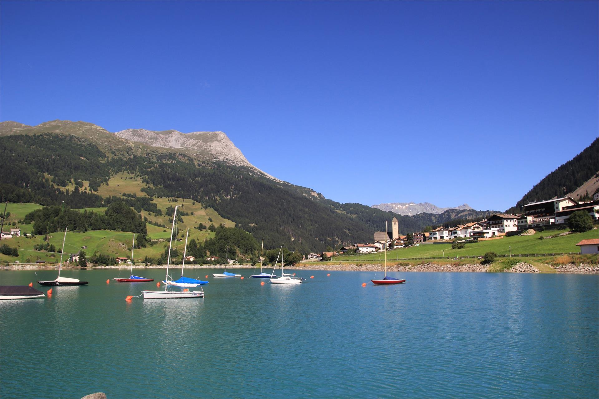
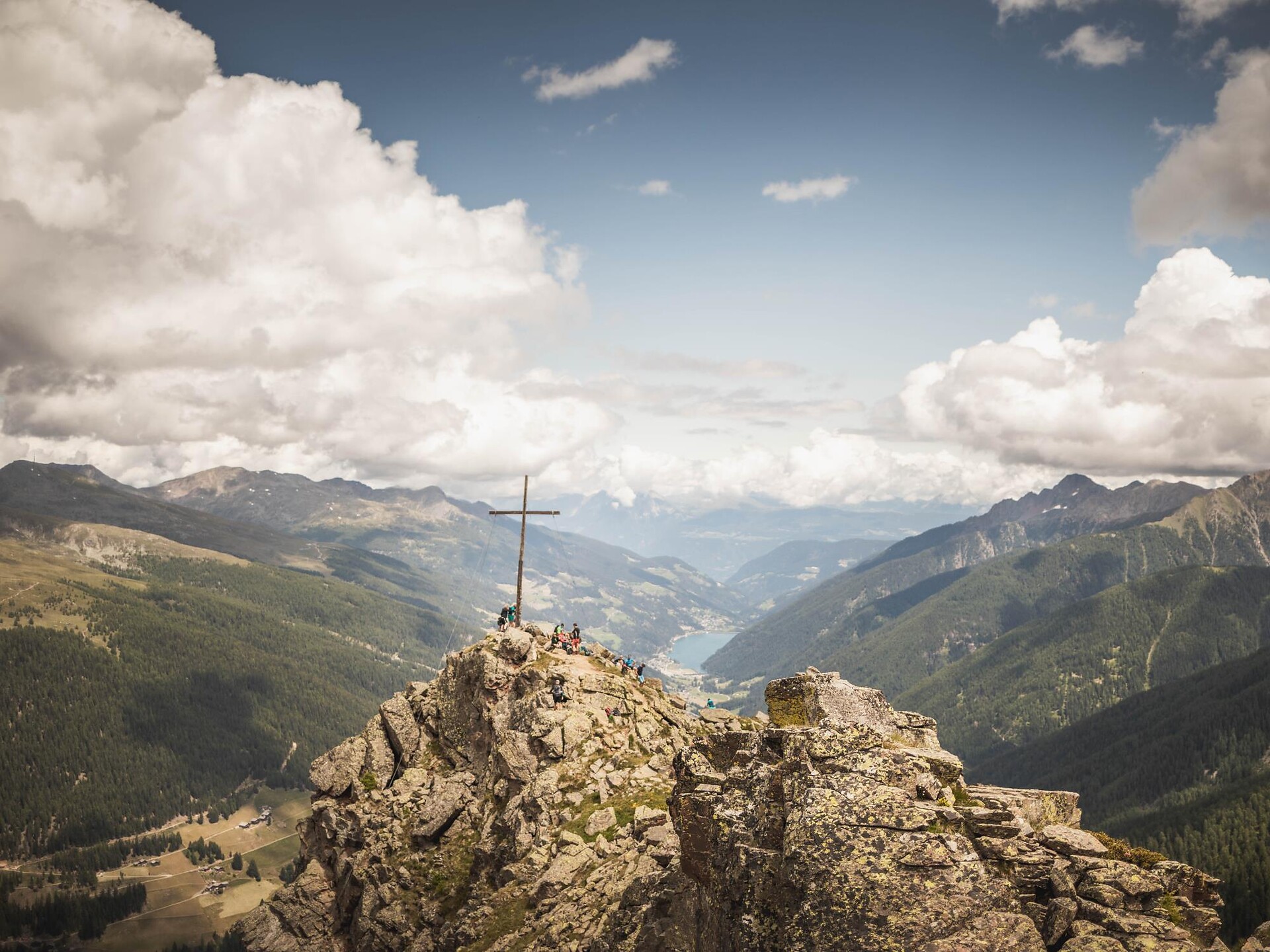
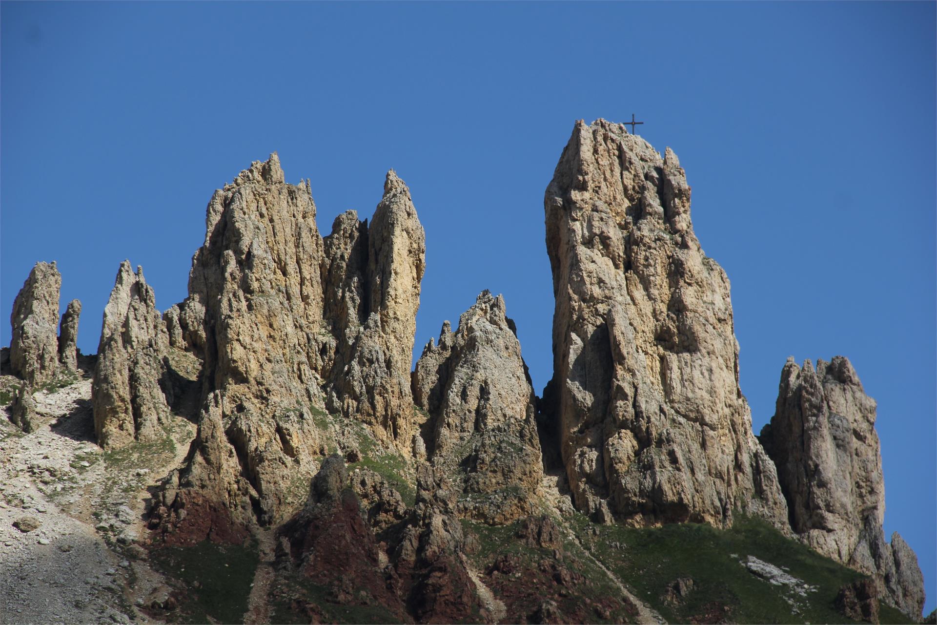


Pokud jste někdy vylezli na vrchol, znáte ten pocit svobody. Ten přichází, když dosáhnete vrcholu a užíváte si výhled z něj. Dáváte přednost šturmování Dolomit? Dáváte přednost mírnějším horským vrcholům? Milujete široké výhledy? Nebo se spokojíte pouze s nejvyššími vrcholy? Jižní Tyrolsko s více než 100 třítisícovými vrcholy a vrcholy, z nichž údajně dohlédnete až do Benátek, nabízí mnoho vrcholových zážitků.
1 / 8
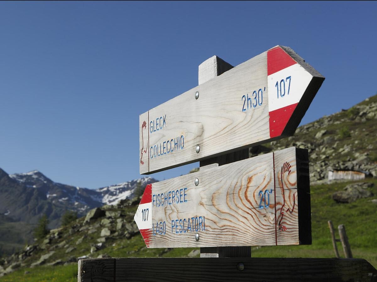
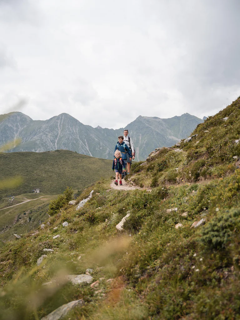
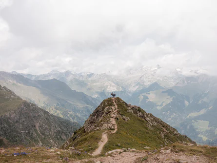
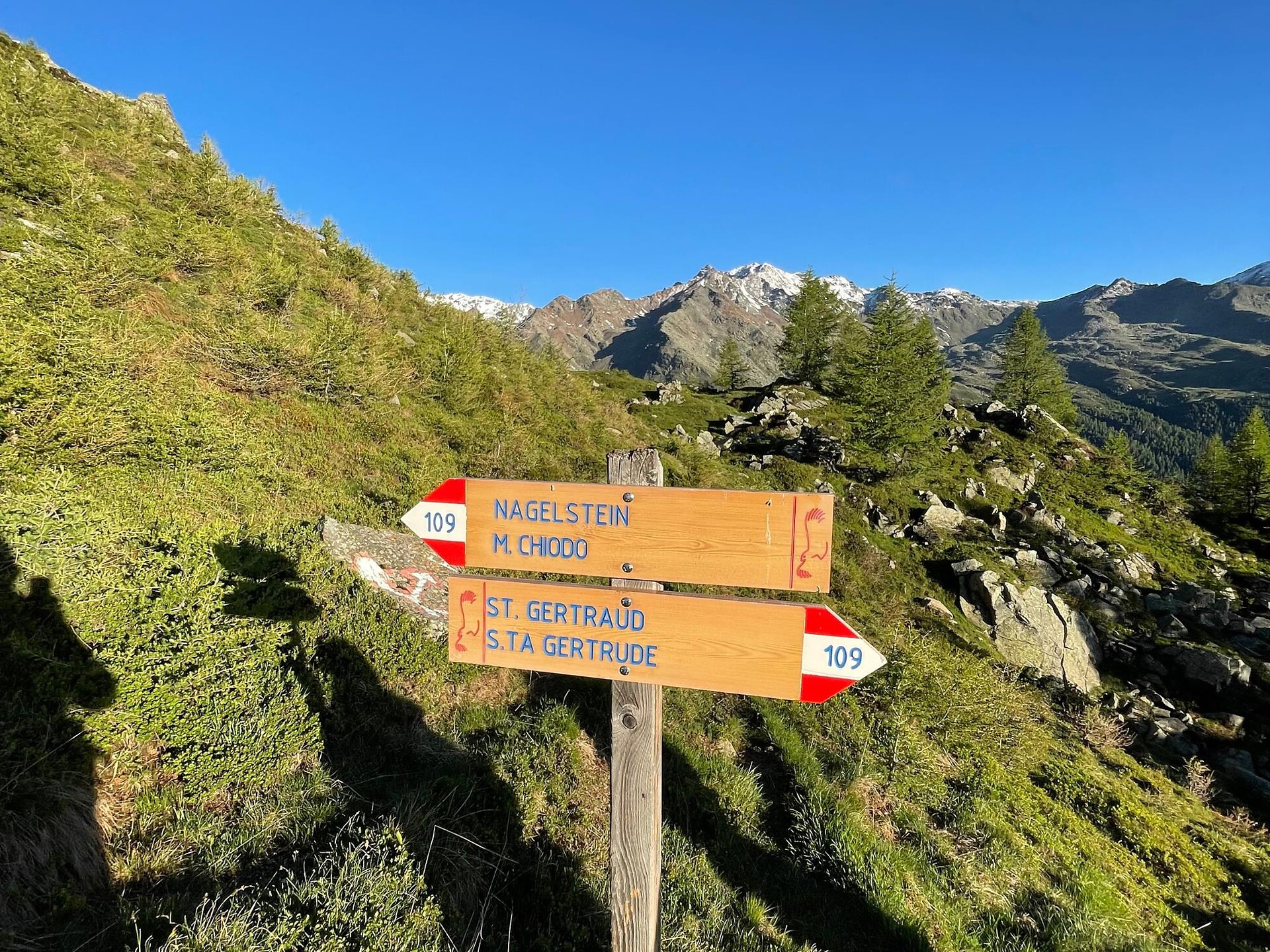
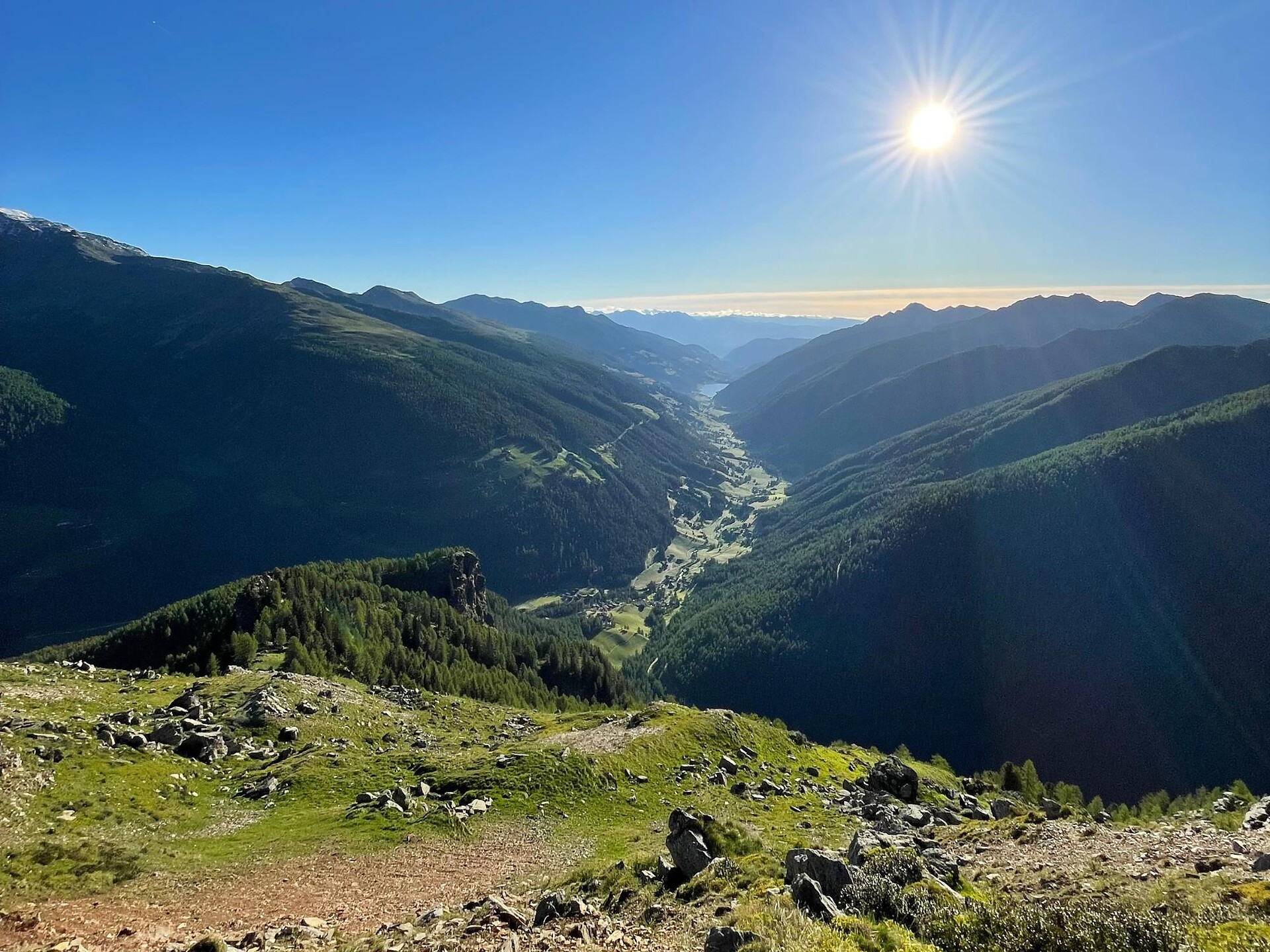
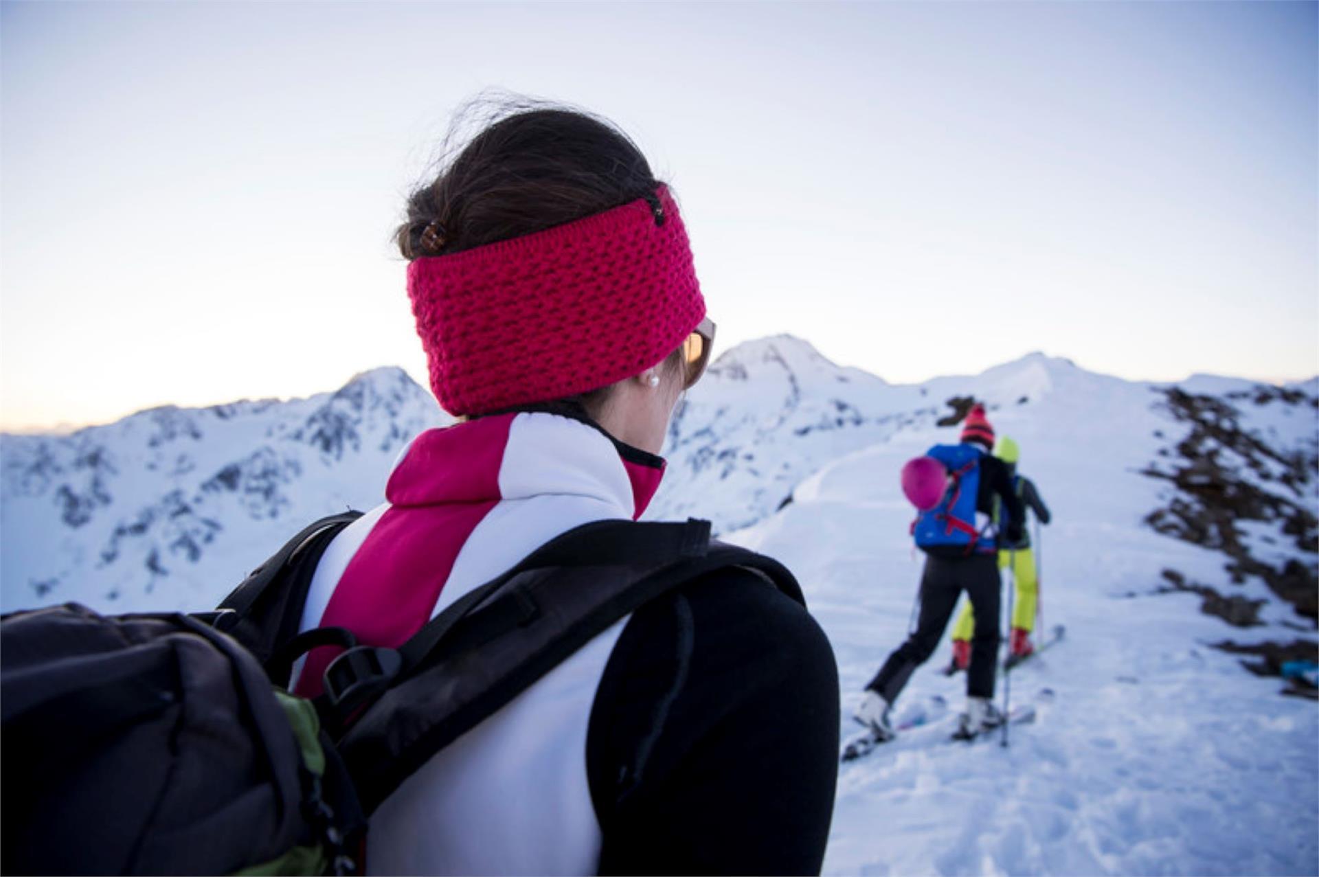
Mountaineering
Algund/Lagundo, Meran/Merano and environs
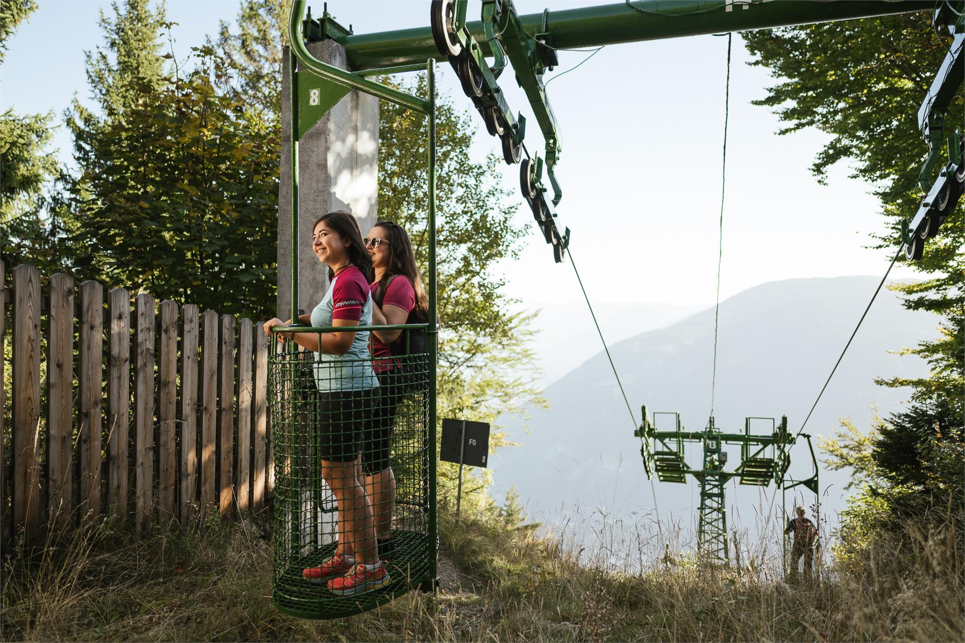
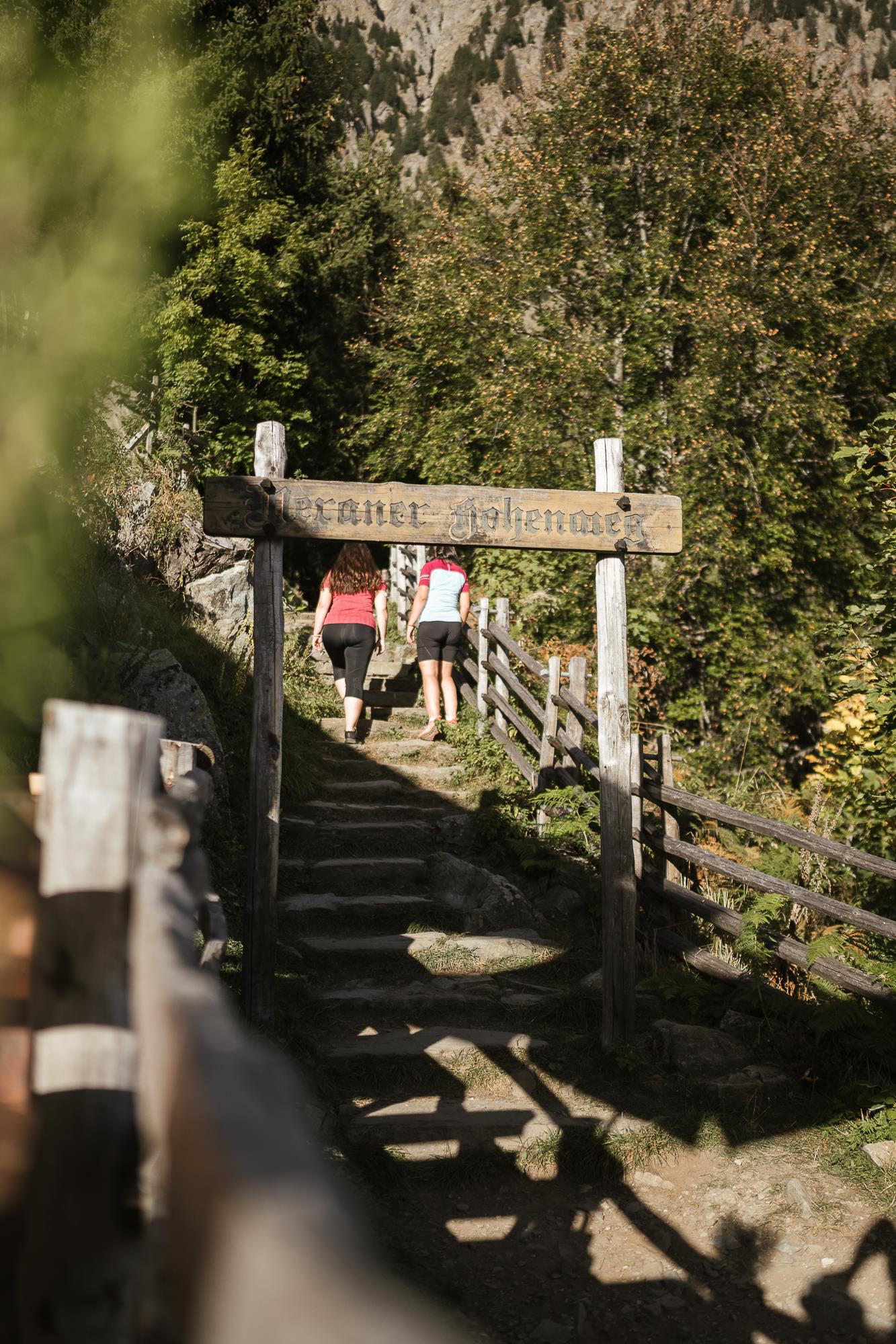
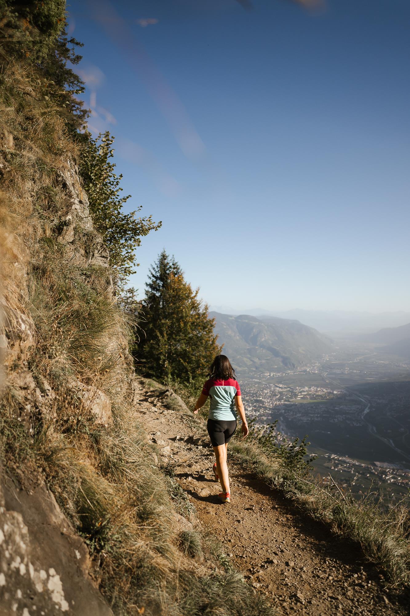
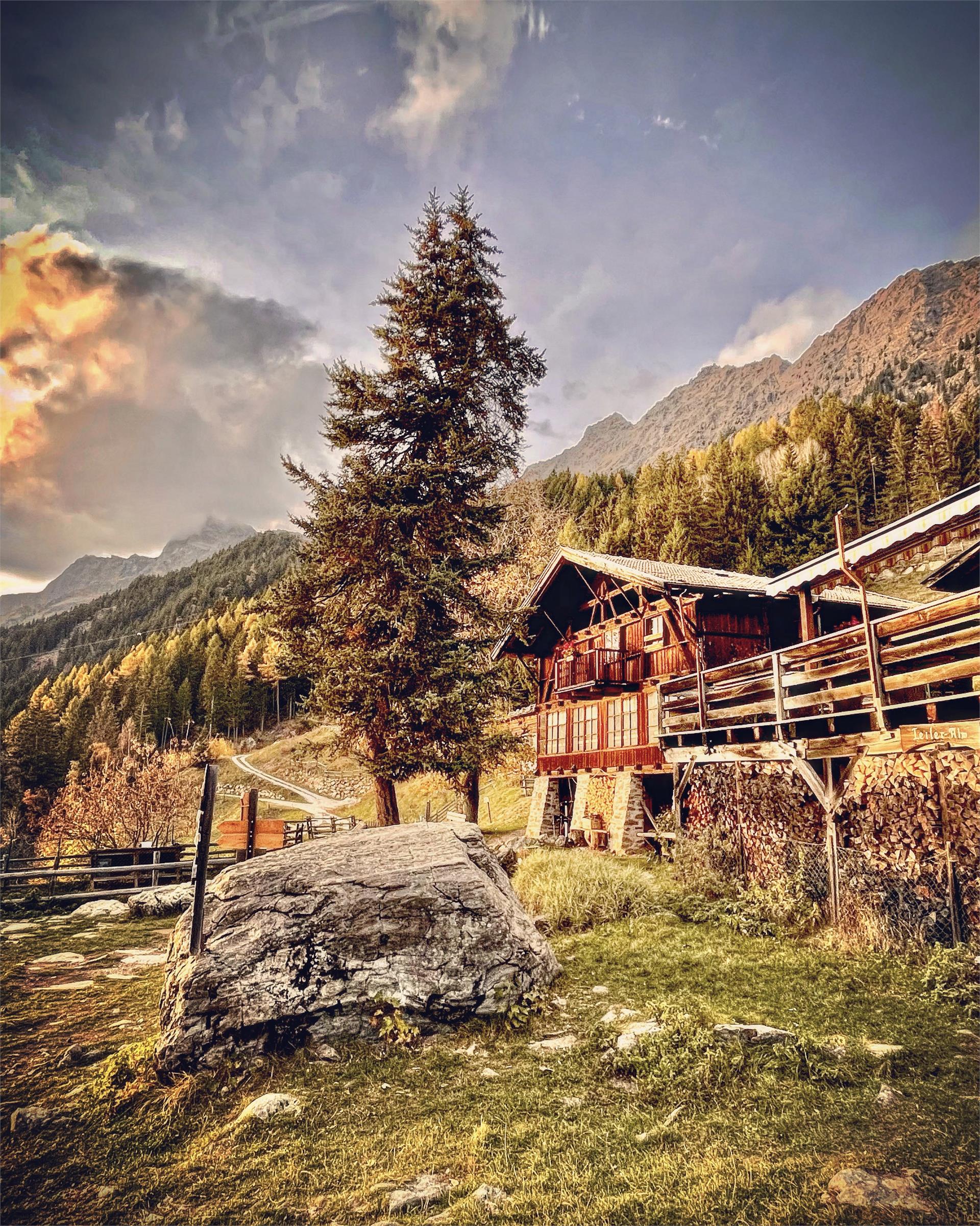
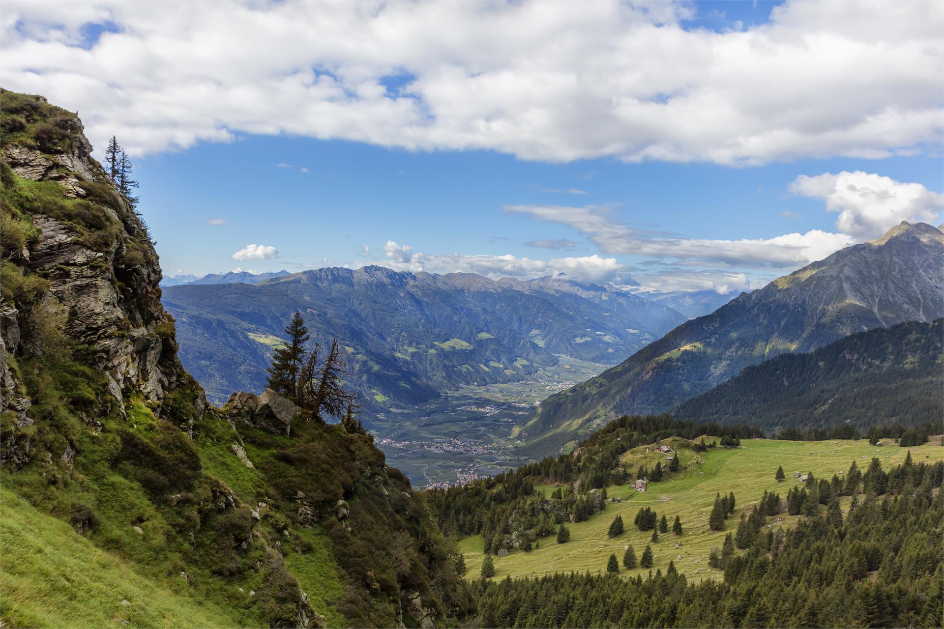
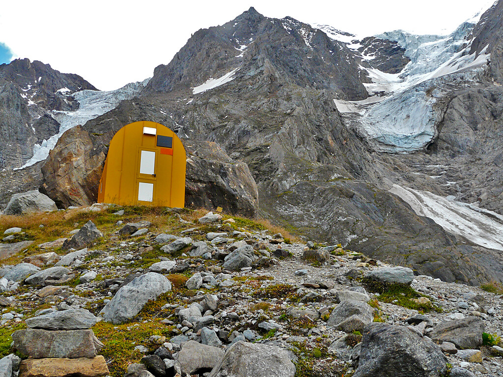
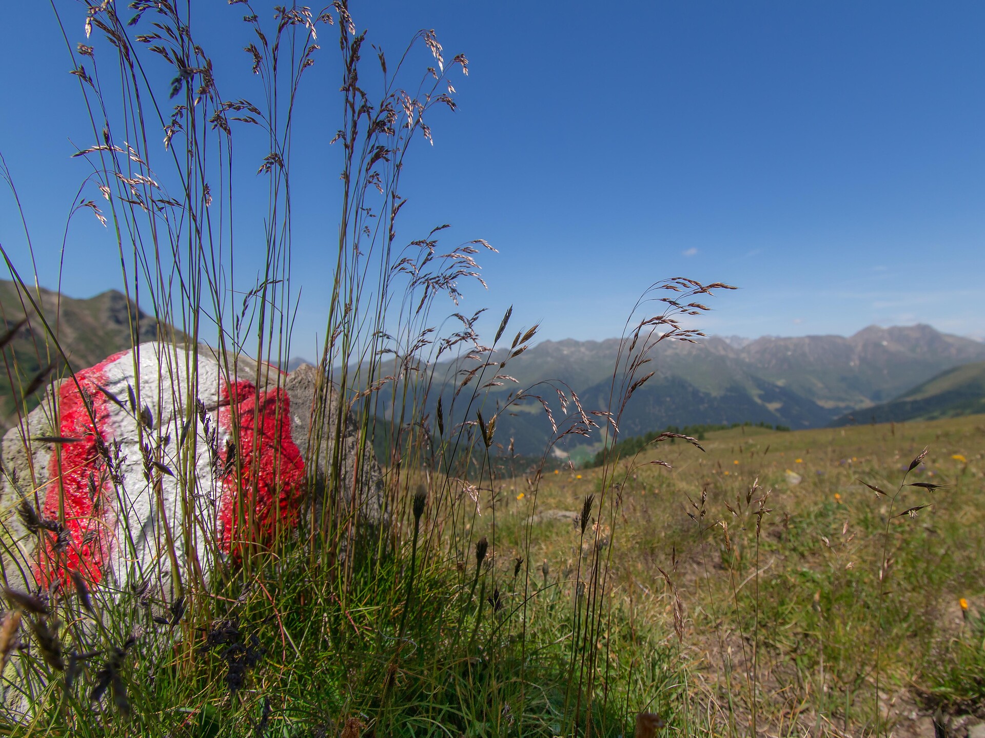
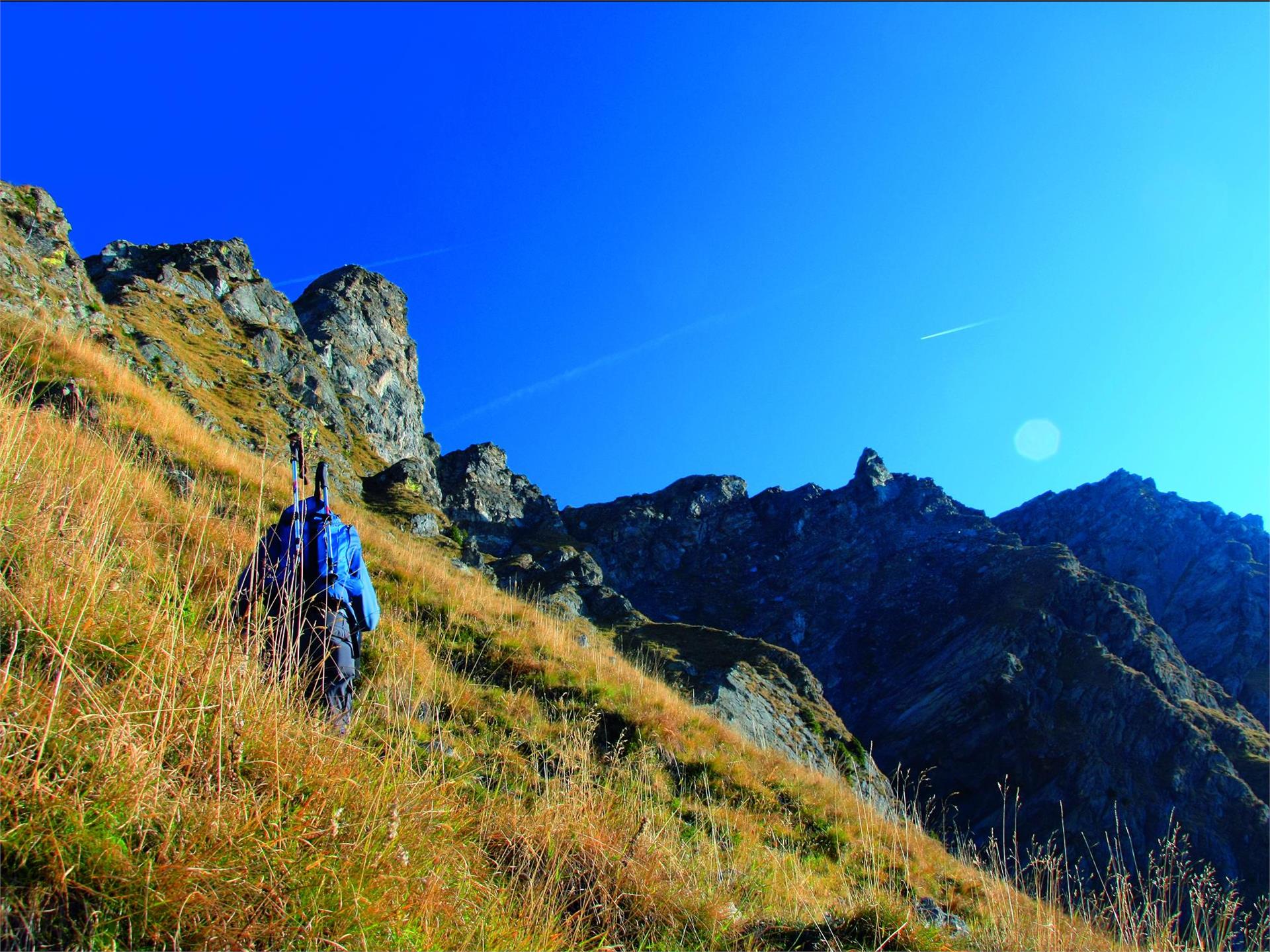
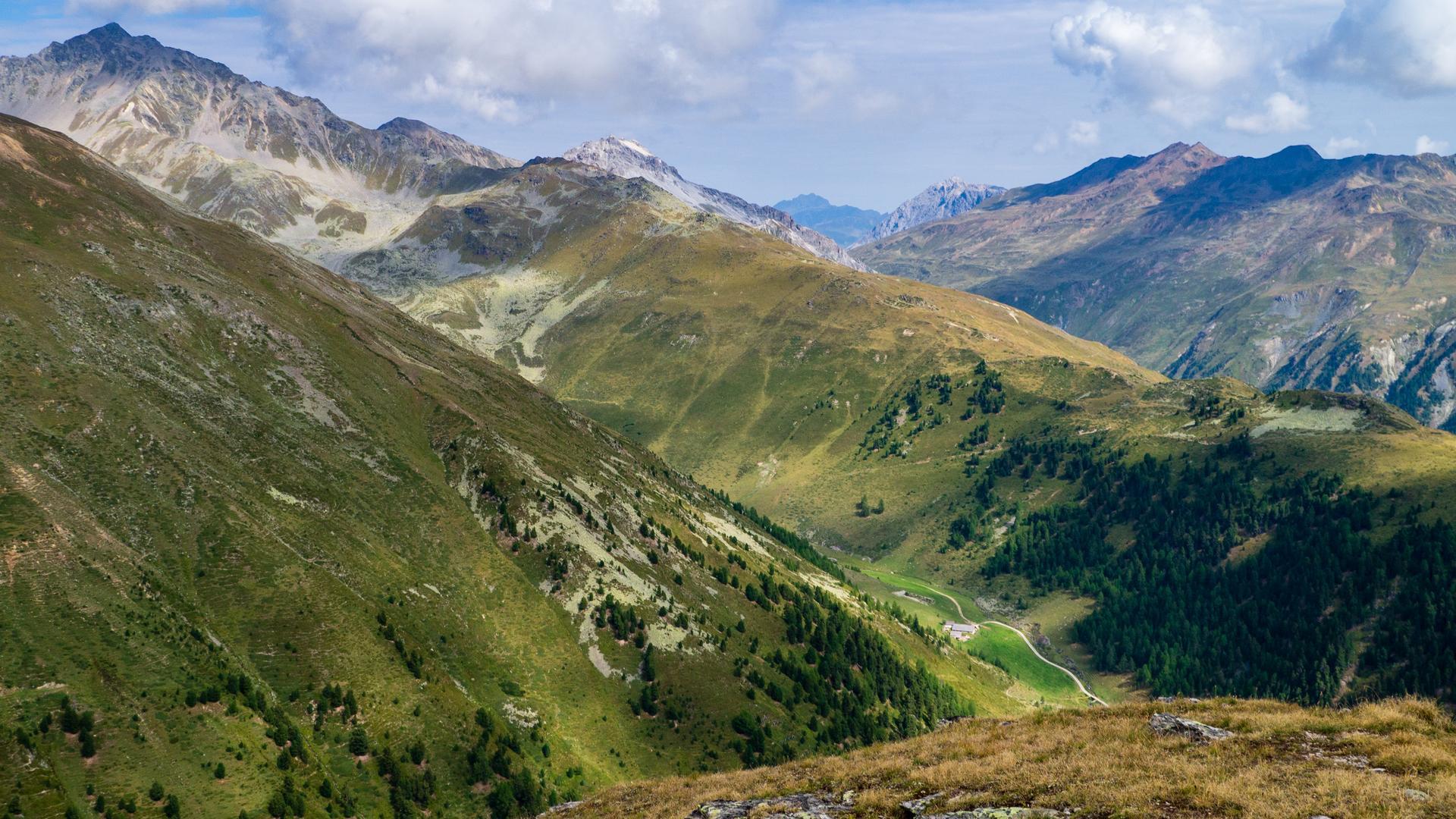
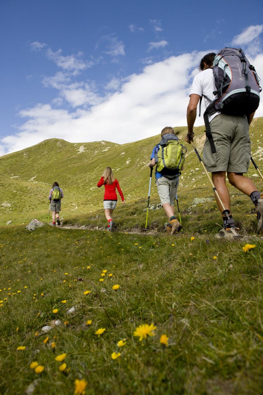
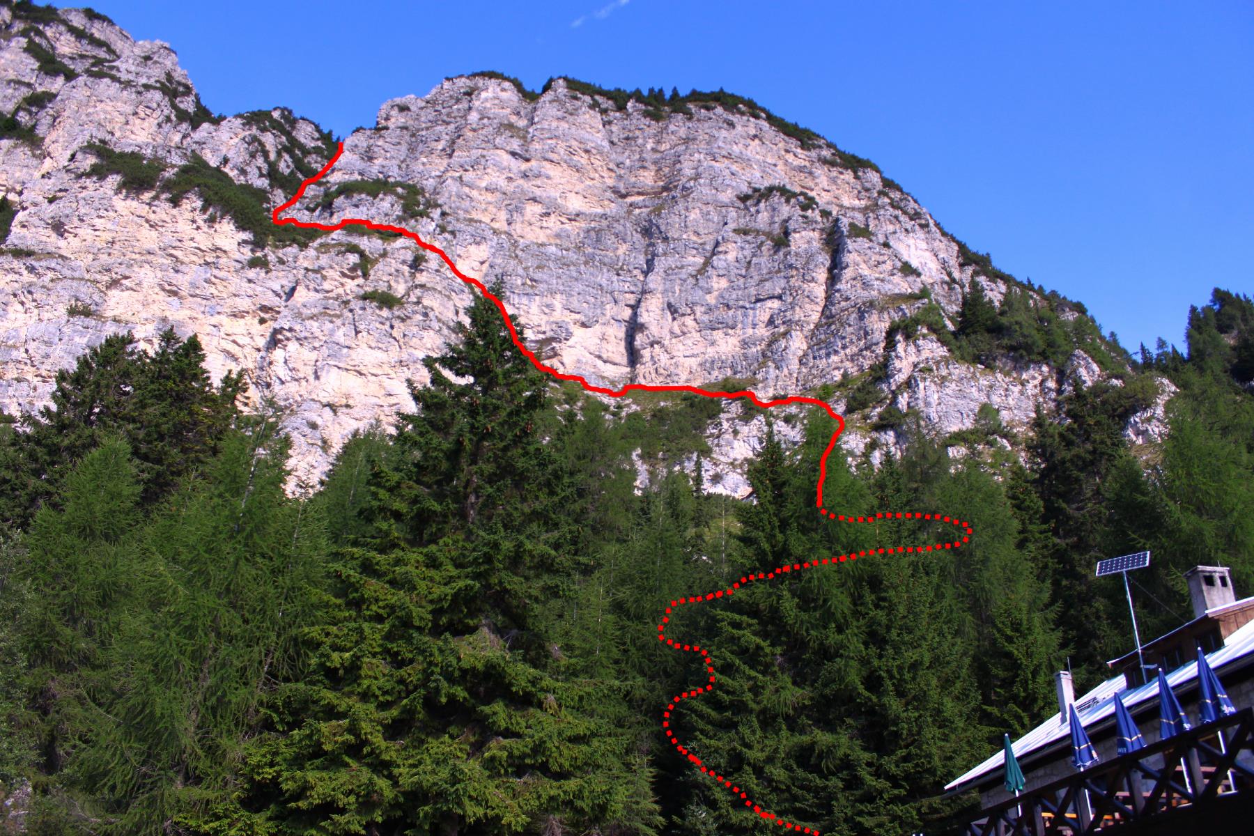
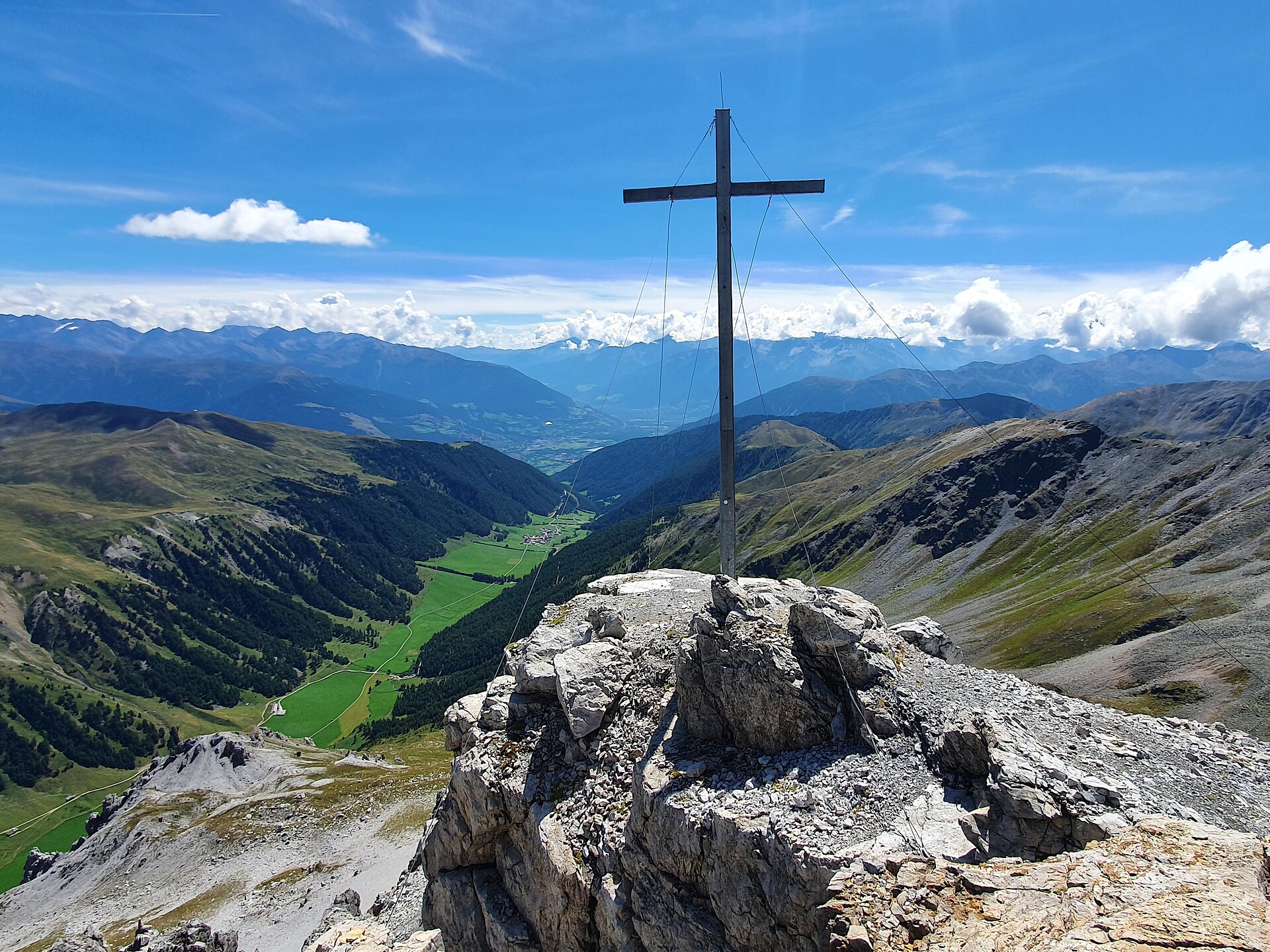
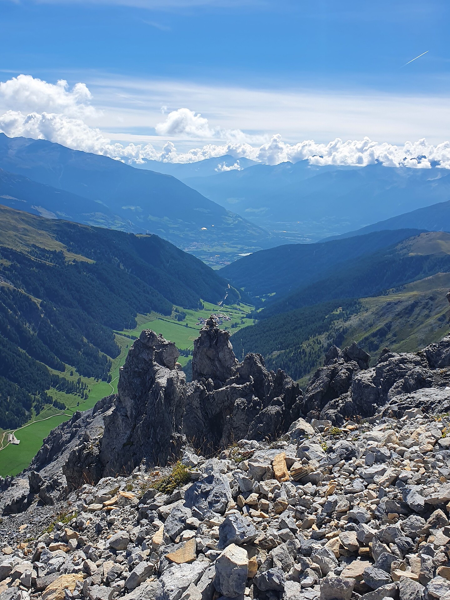
The highest point of this mountain tour is the Taufenscharte also called "Karjoch" at 2230 m. The steep ascent is a challenge, but you will be rewarded with an excellent view over the Spronsertal at the top.


