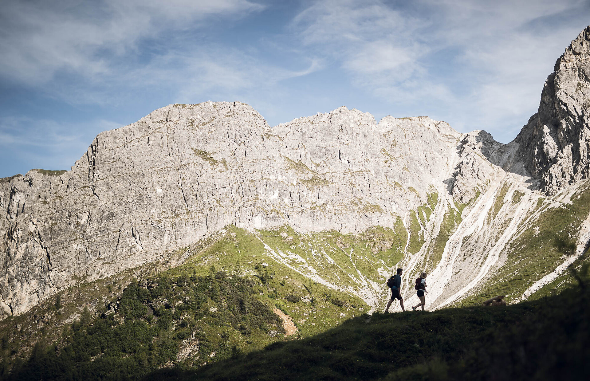

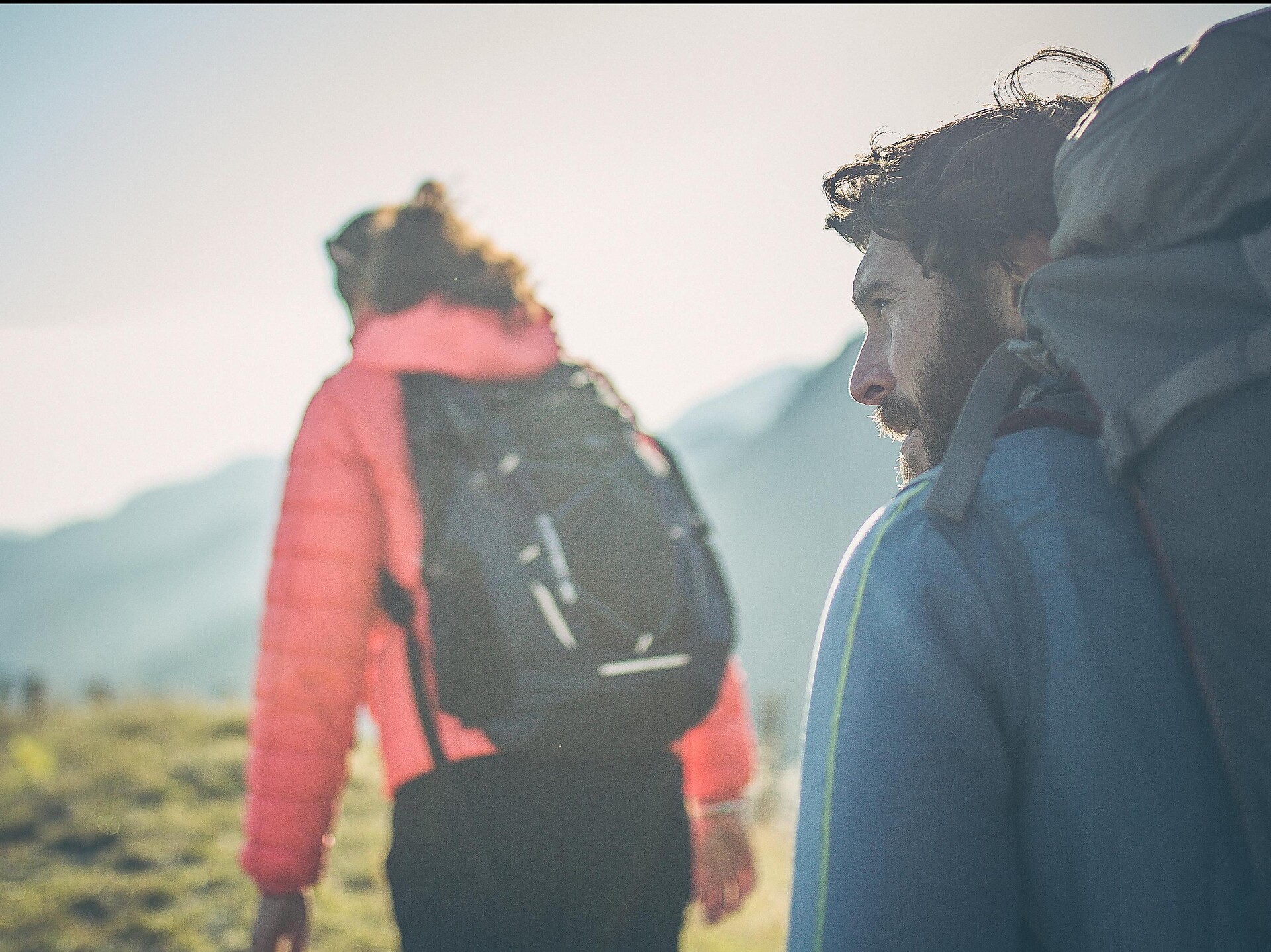


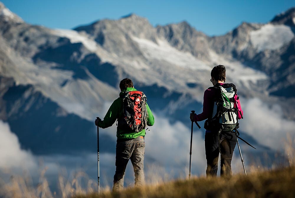
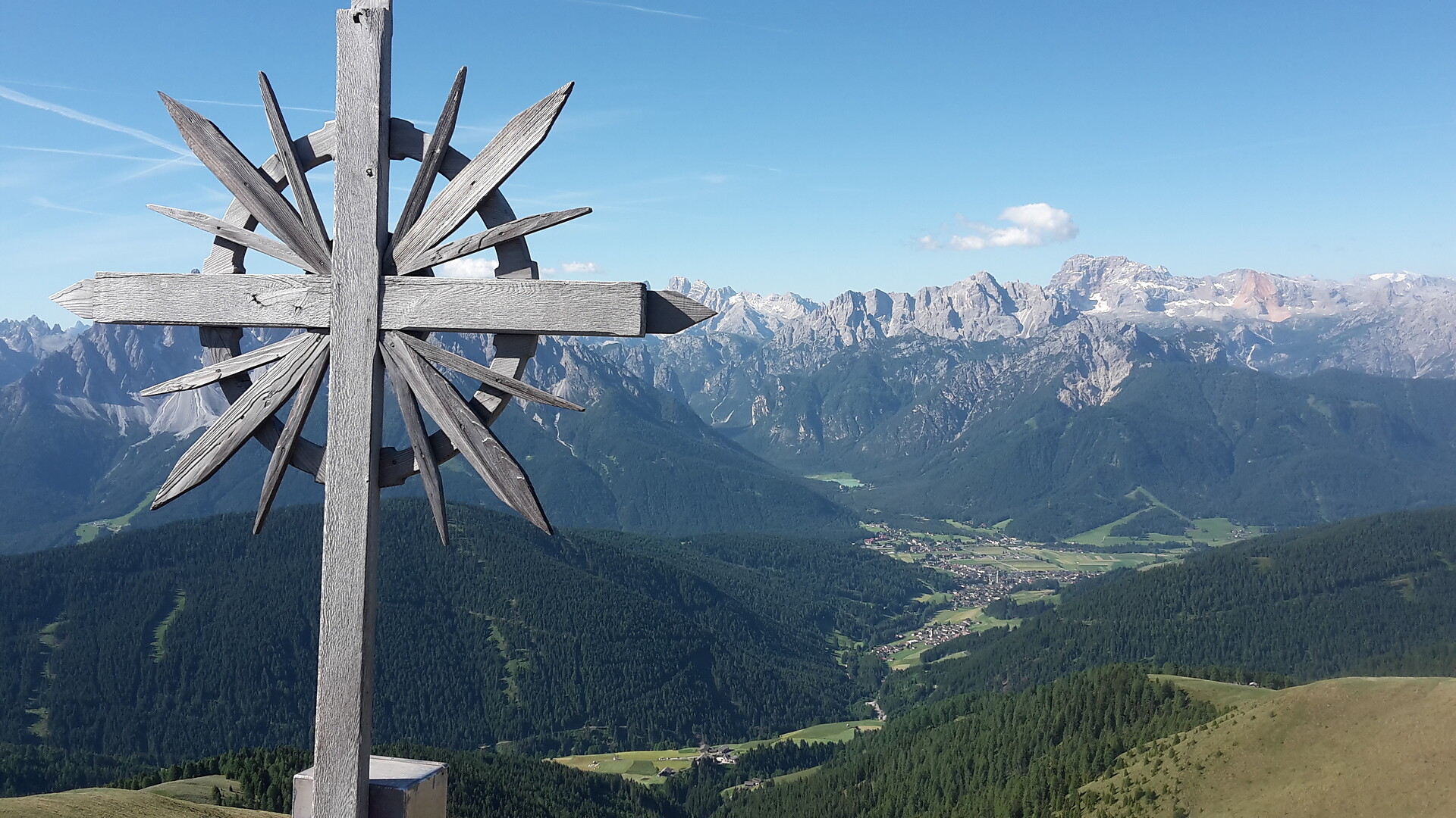
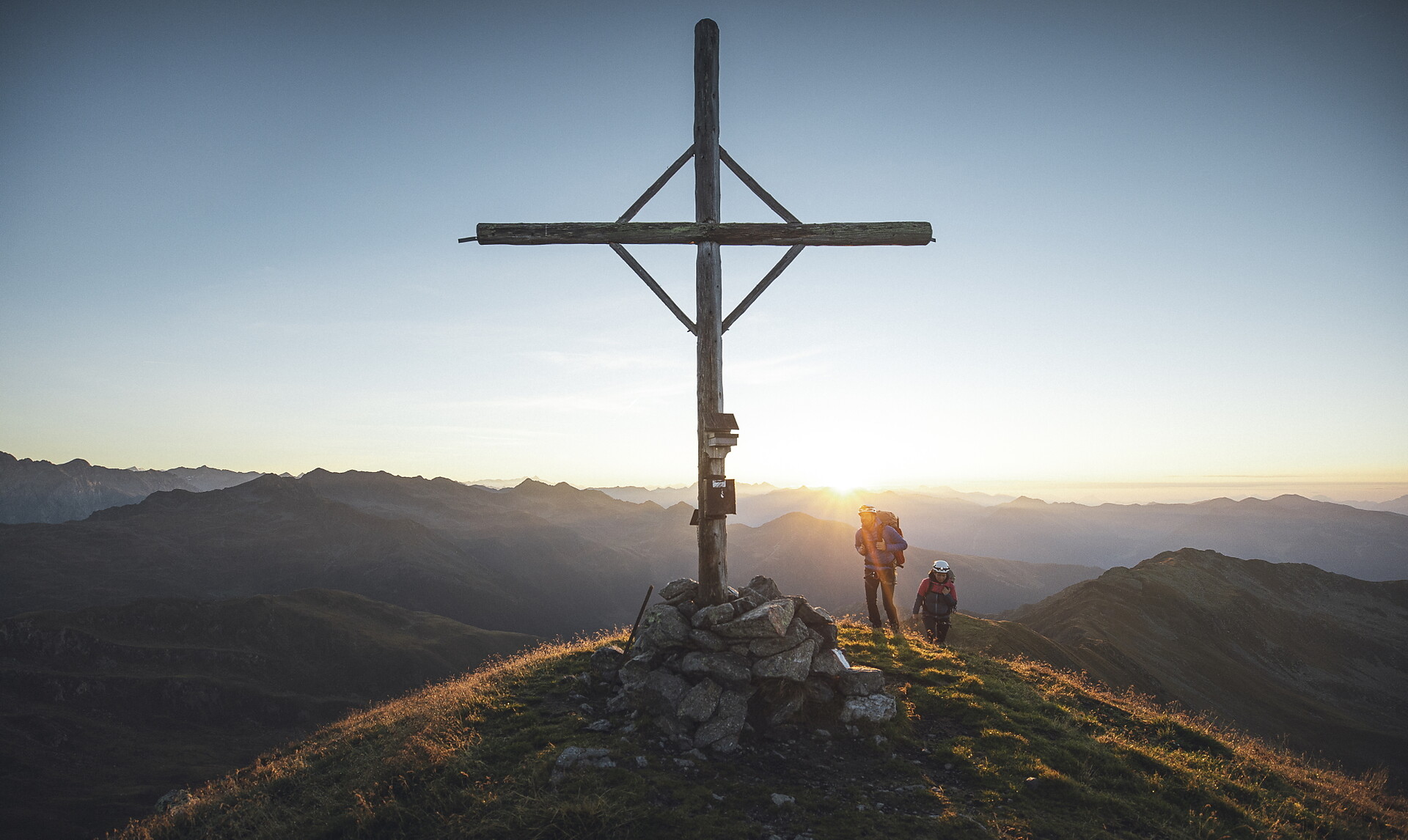
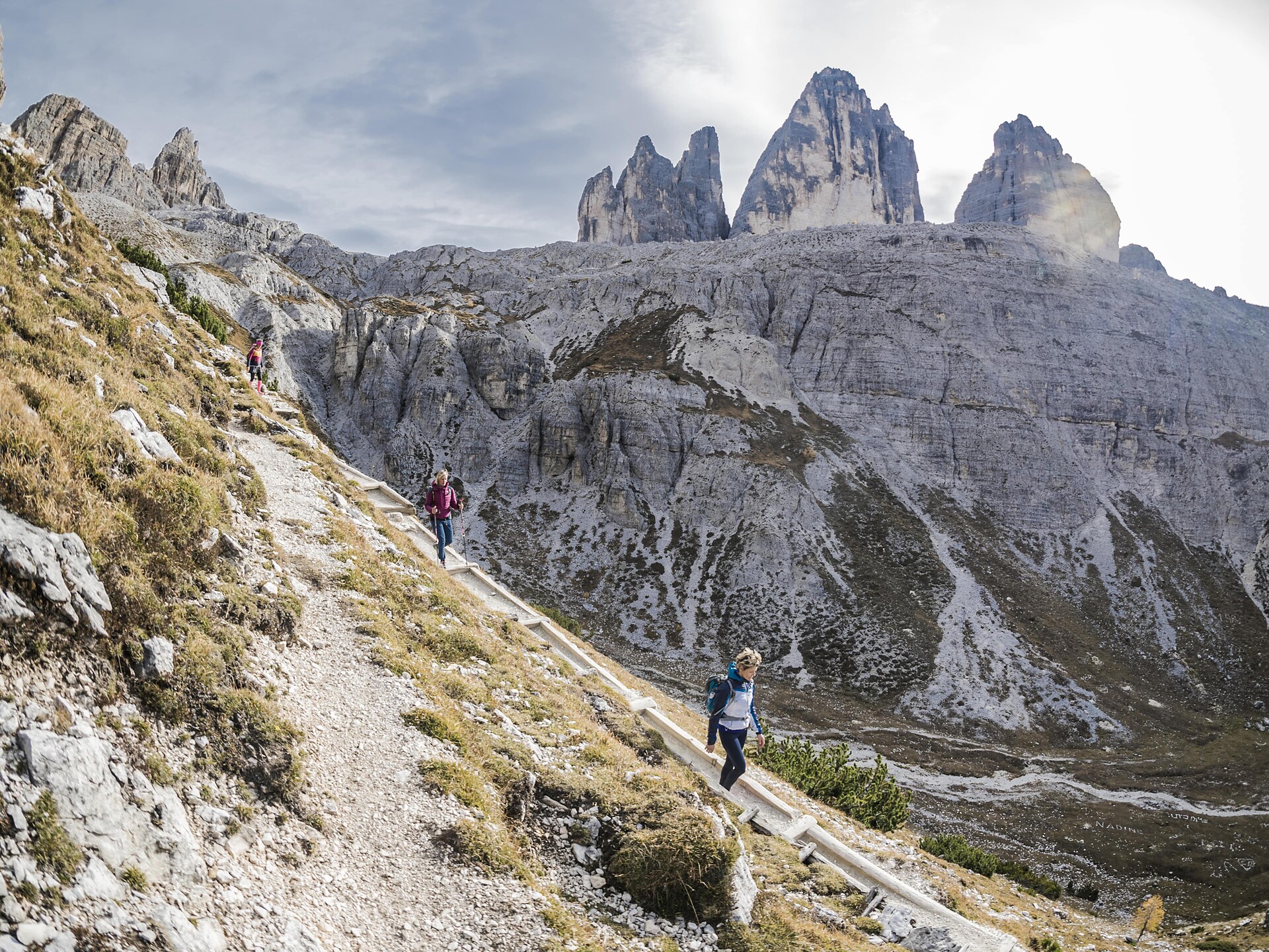
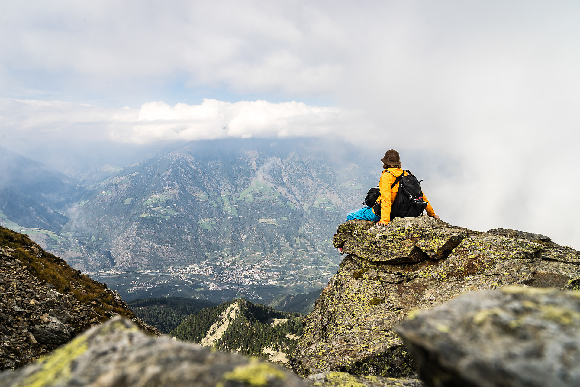
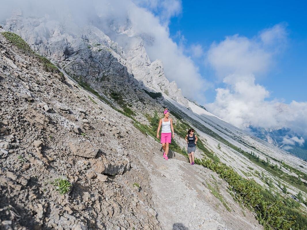
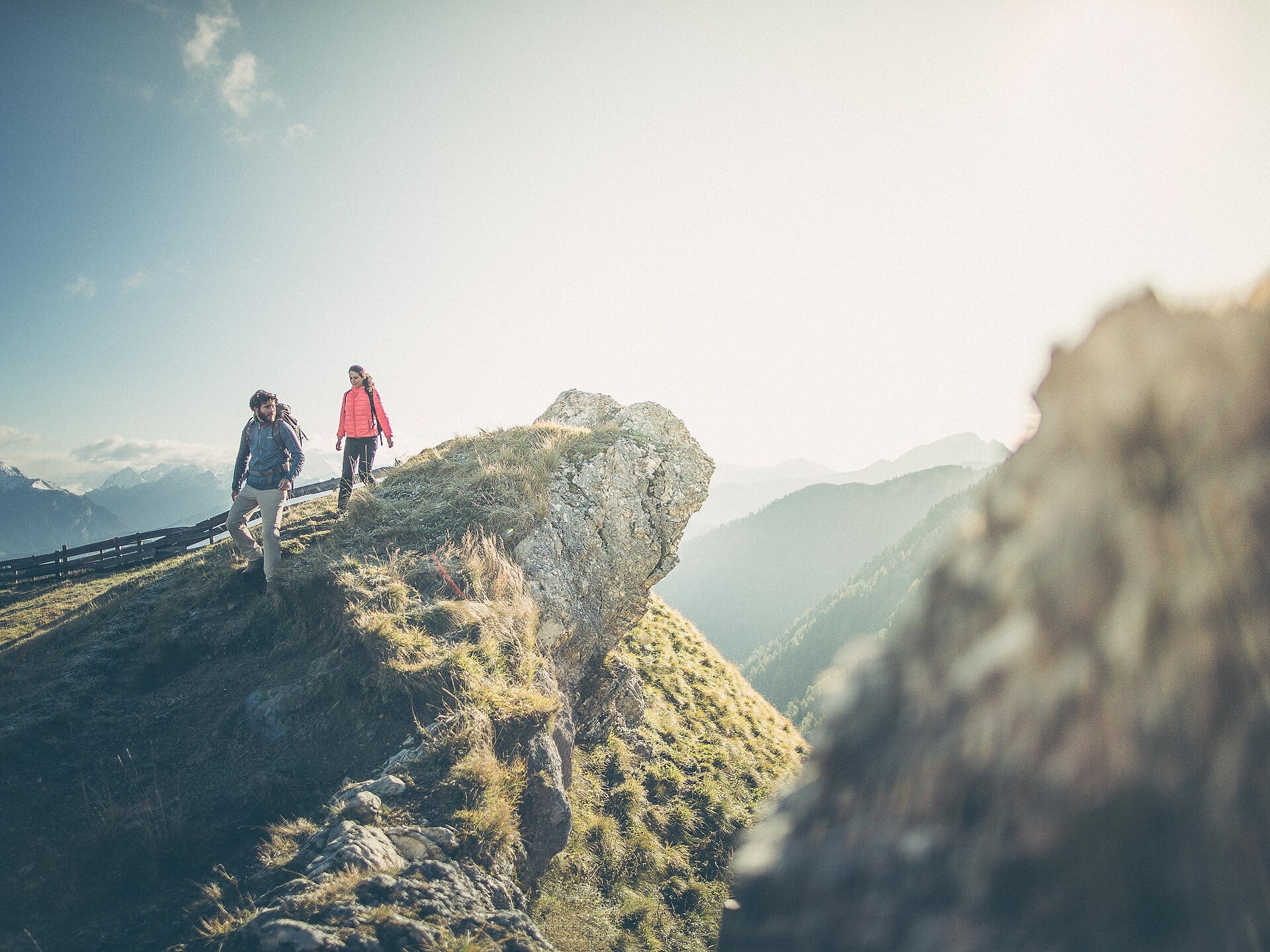
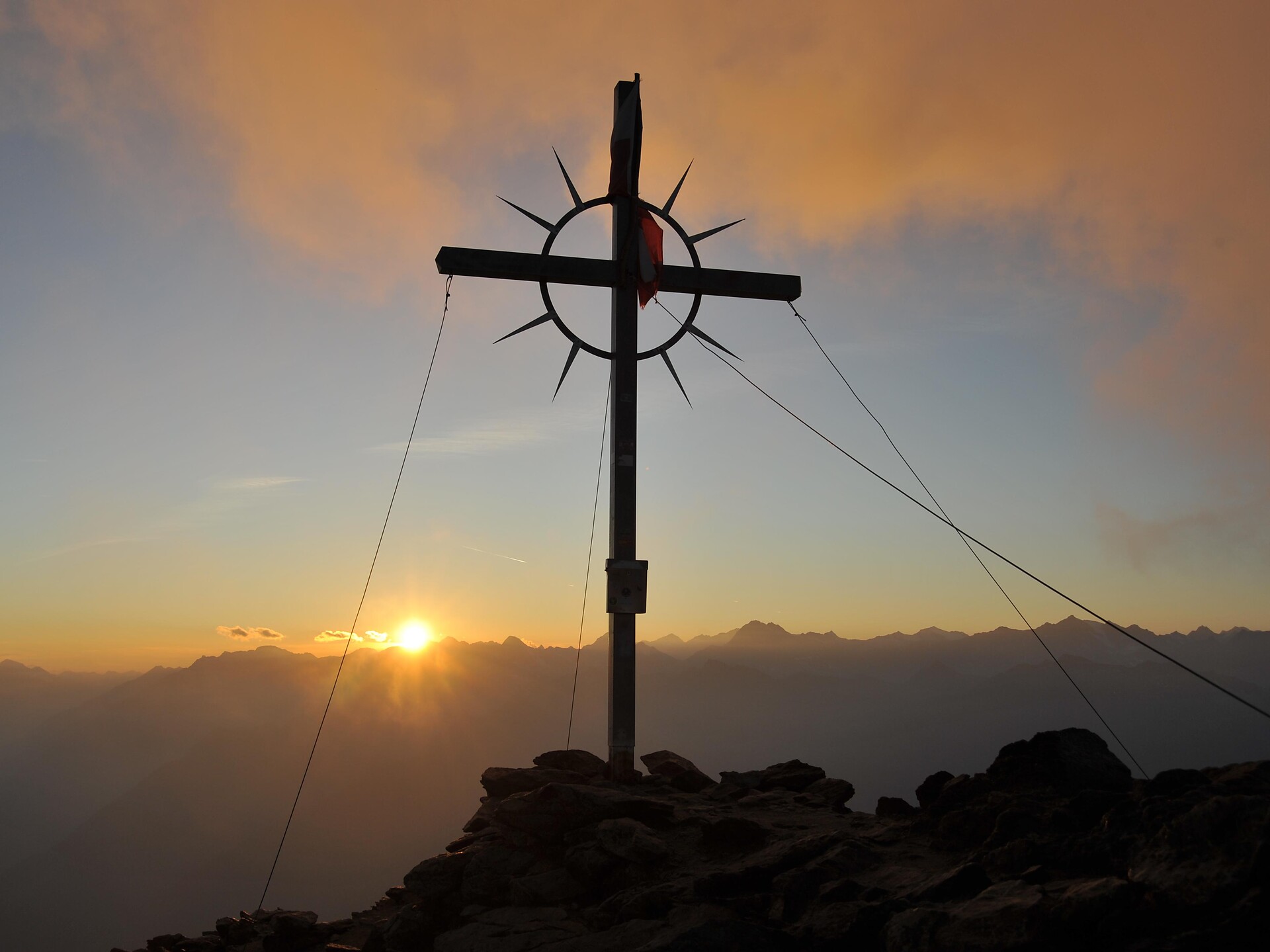
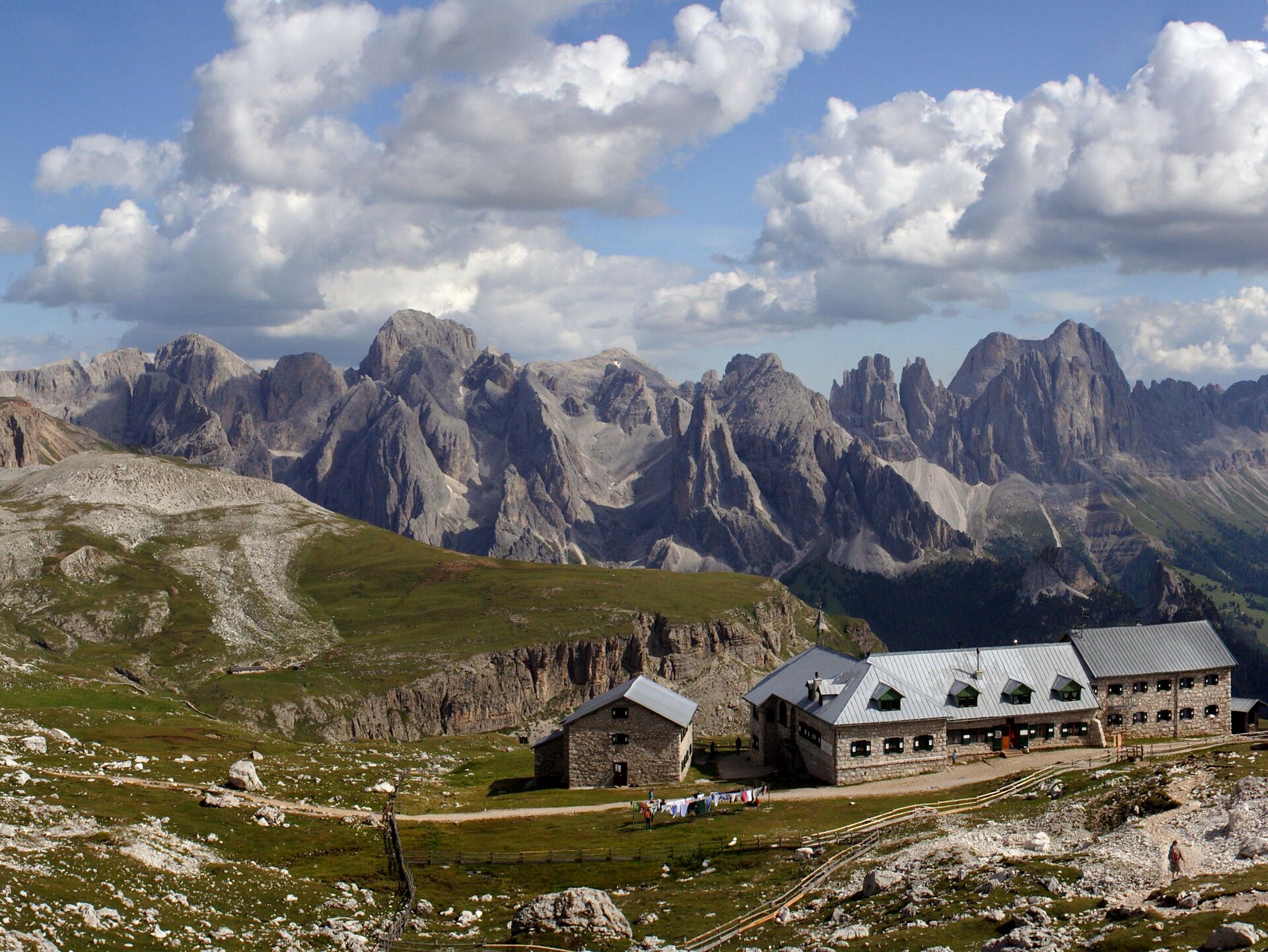
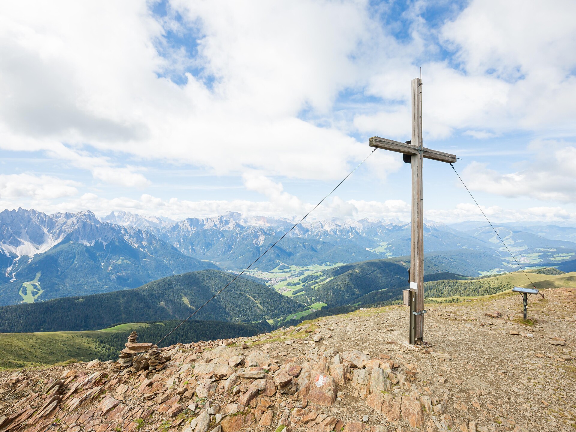
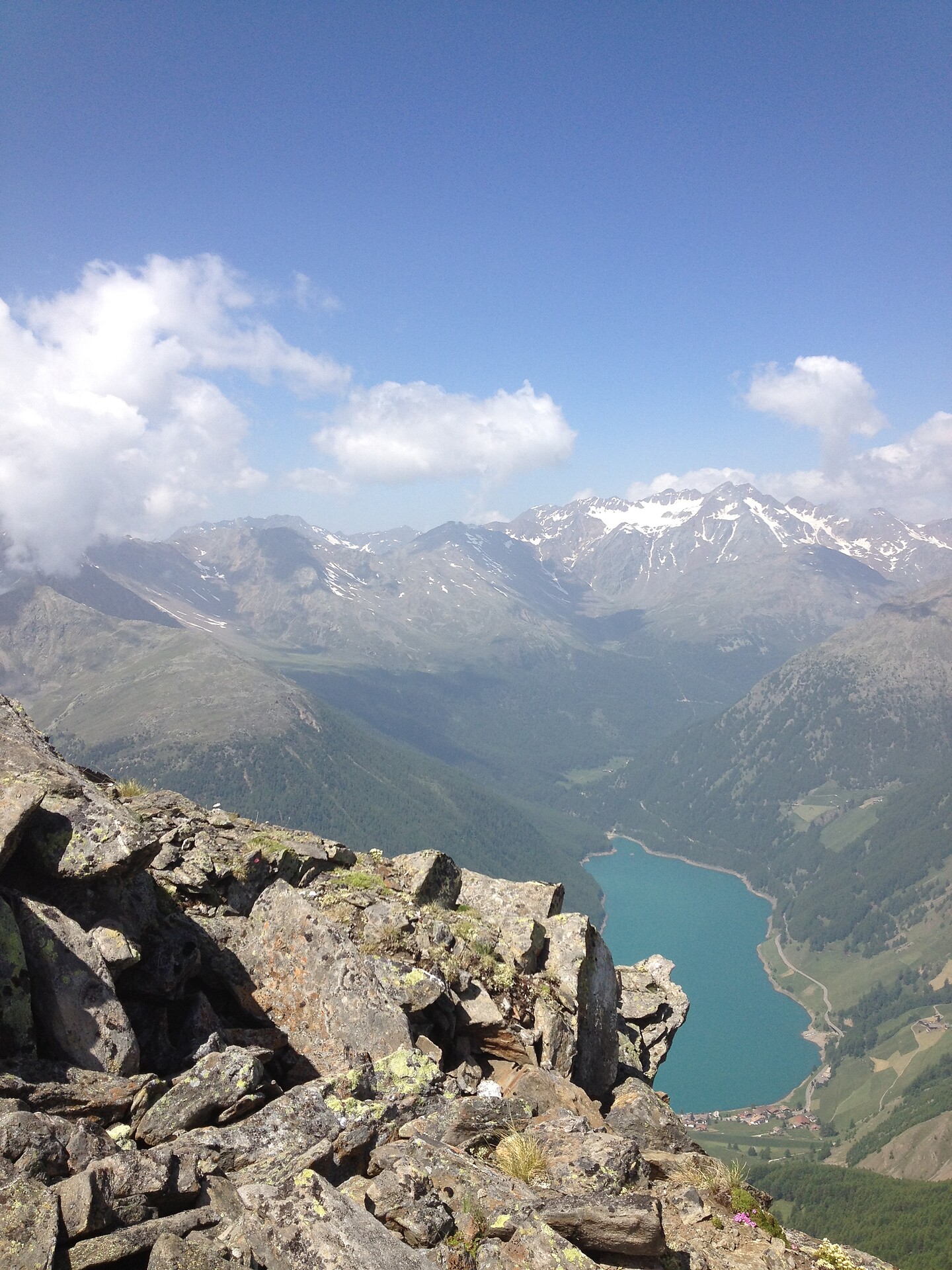
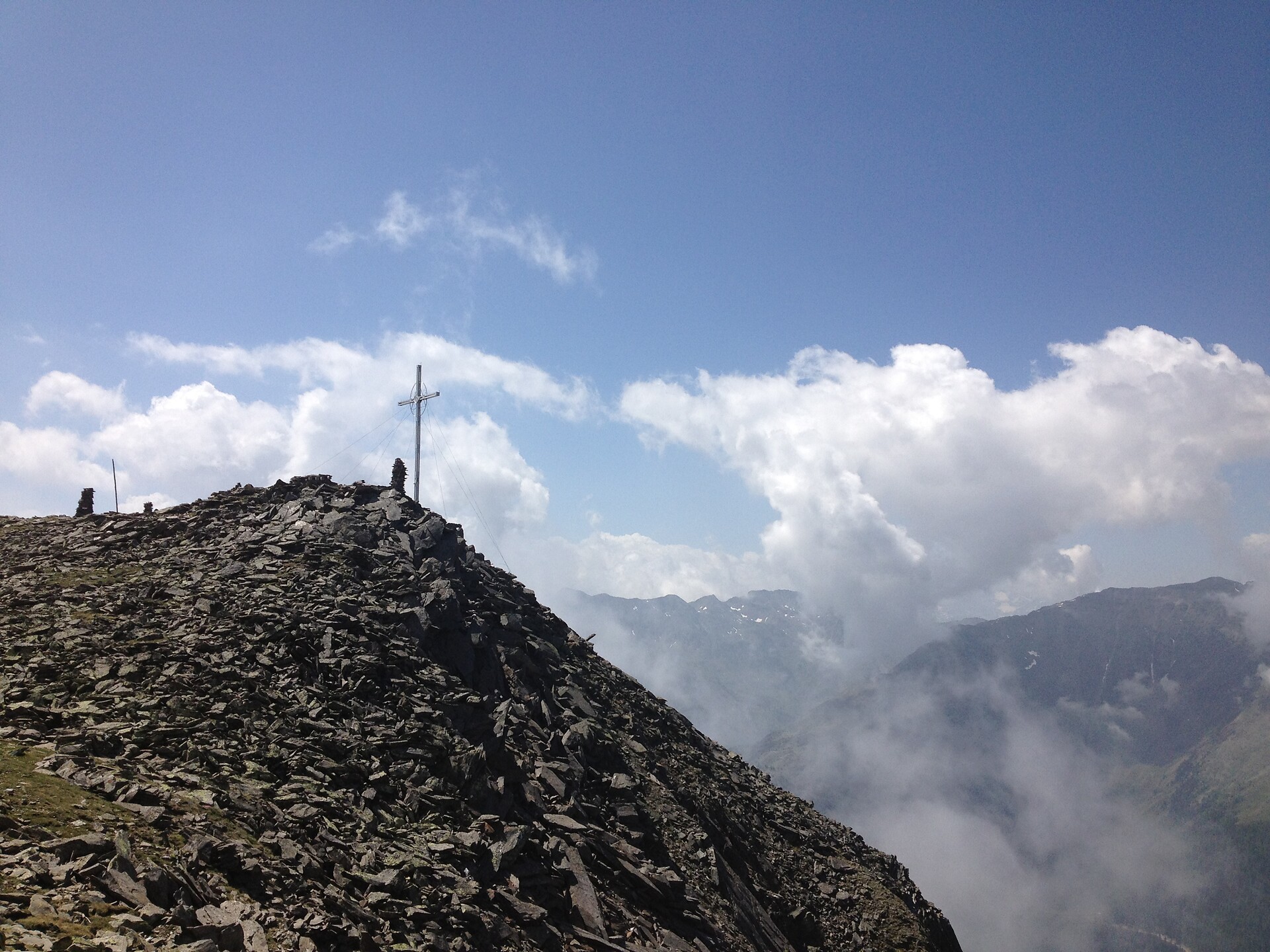
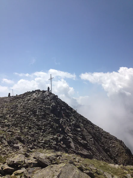
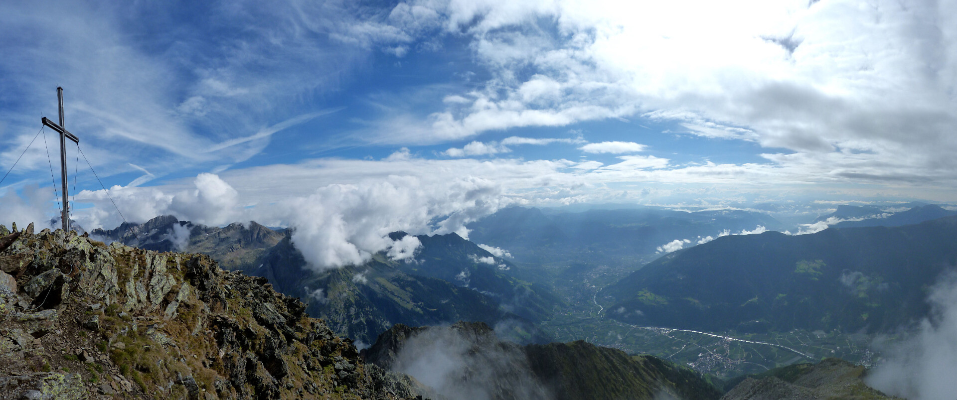
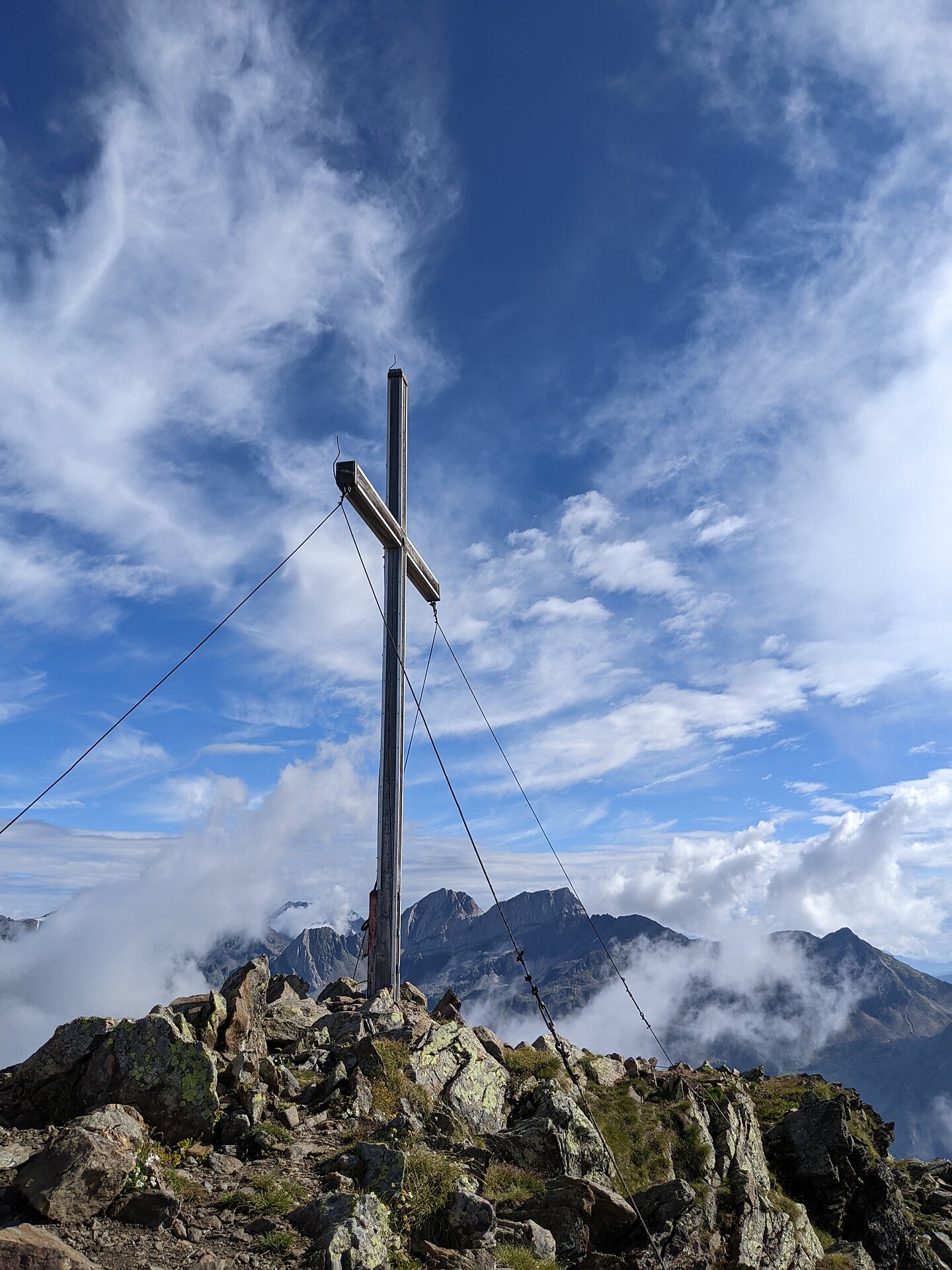

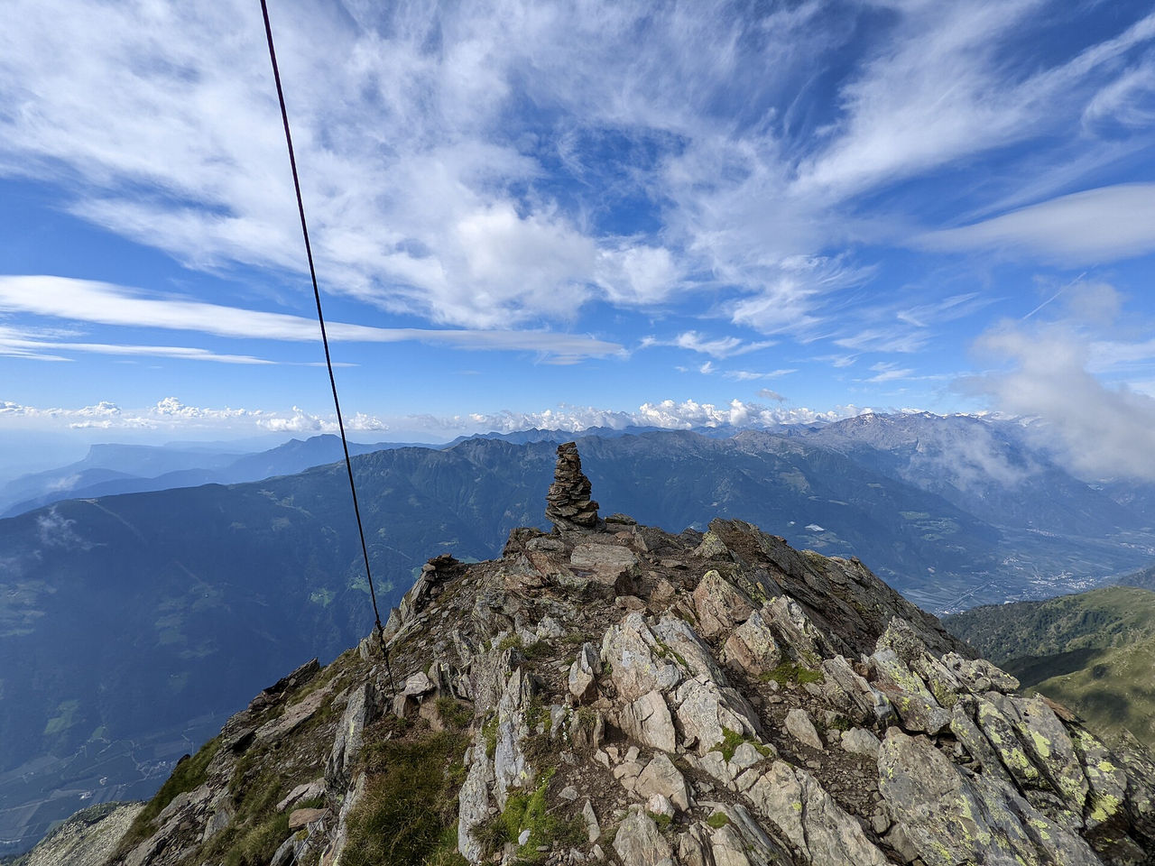
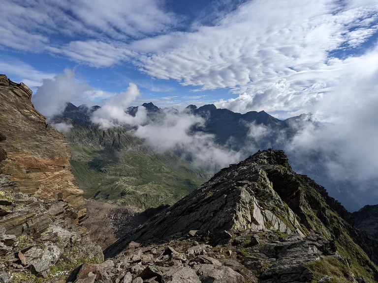
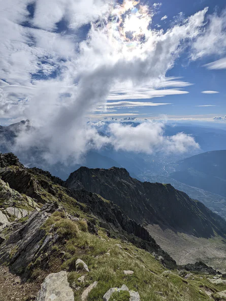


Pokud jste někdy vylezli na vrchol, znáte ten pocit svobody. Ten přichází, když dosáhnete vrcholu a užíváte si výhled z něj. Dáváte přednost šturmování Dolomit? Dáváte přednost mírnějším horským vrcholům? Milujete široké výhledy? Nebo se spokojíte pouze s nejvyššími vrcholy? Jižní Tyrolsko s více než 100 třítisícovými vrcholy a vrcholy, z nichž údajně dohlédnete až do Benátek, nabízí mnoho vrcholových zážitků.
Mountaineering
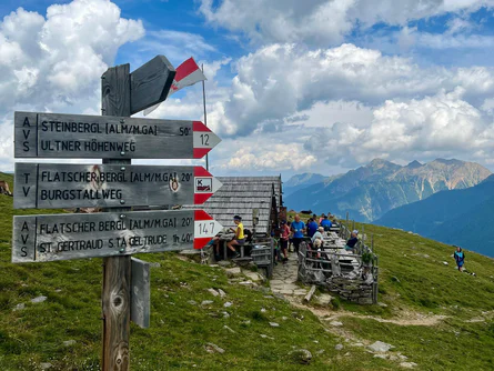
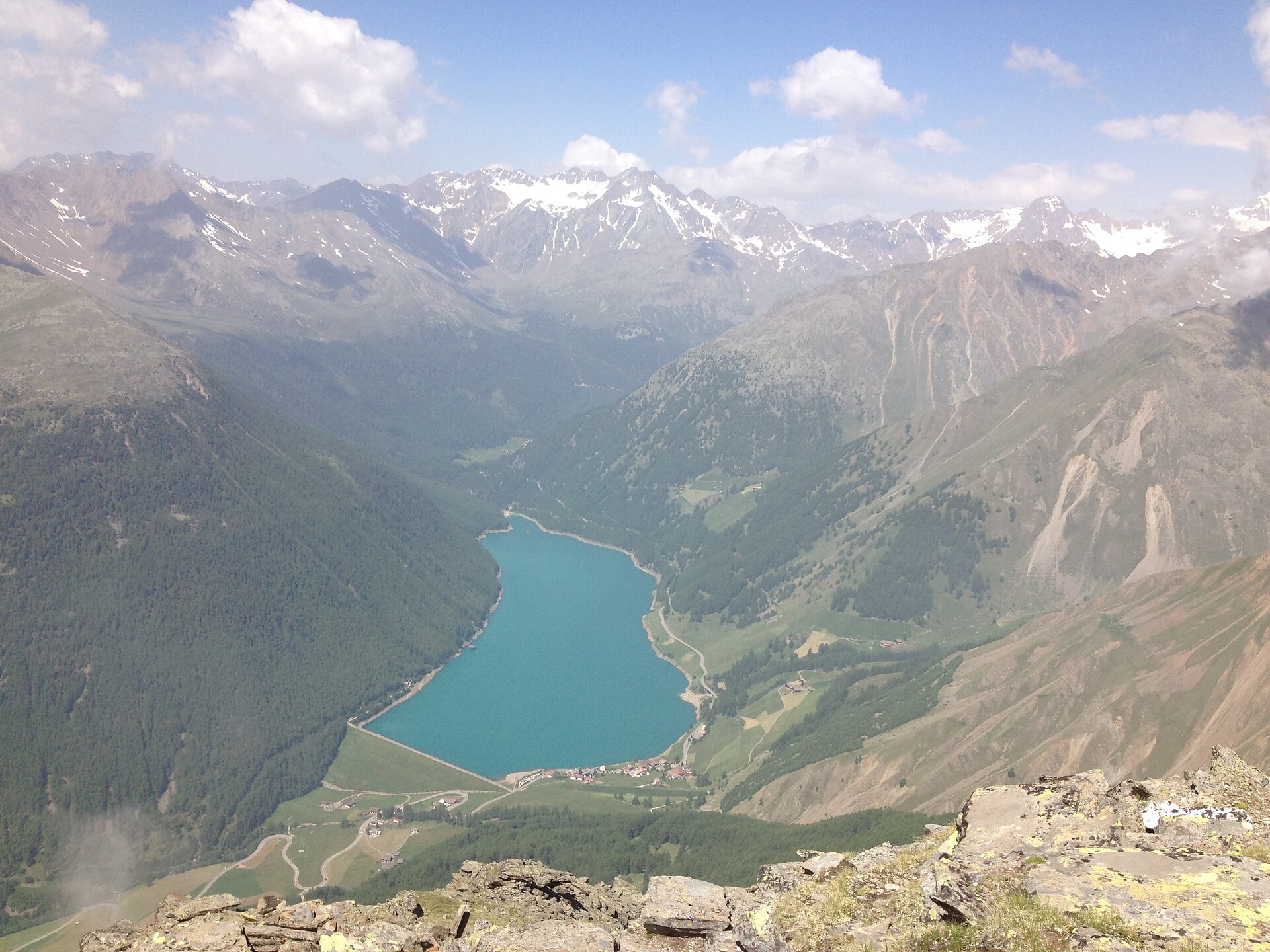
Brenner/Brennero, Sterzing/Vipiteno and environs
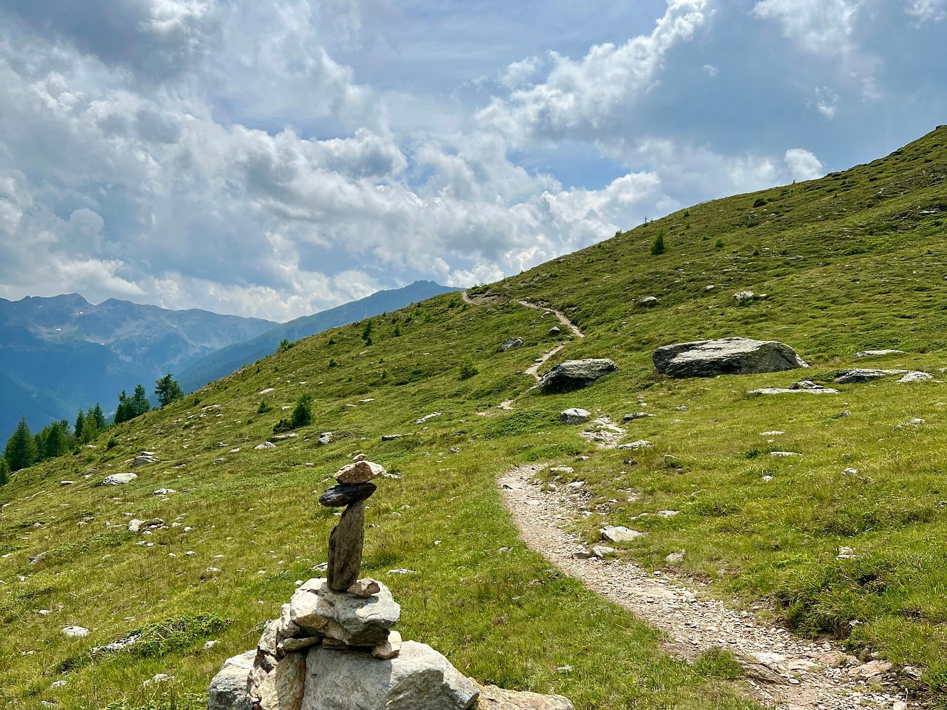
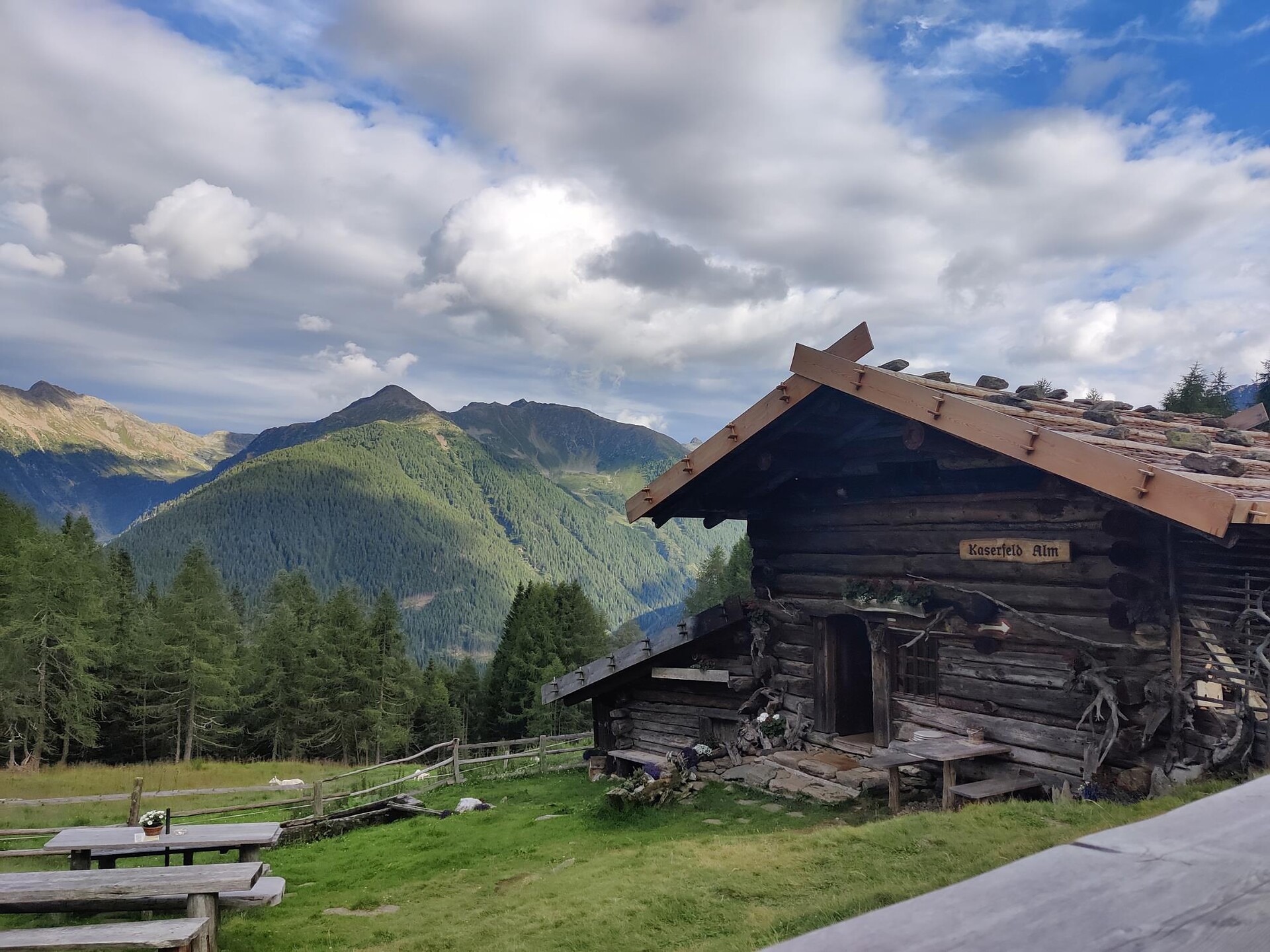
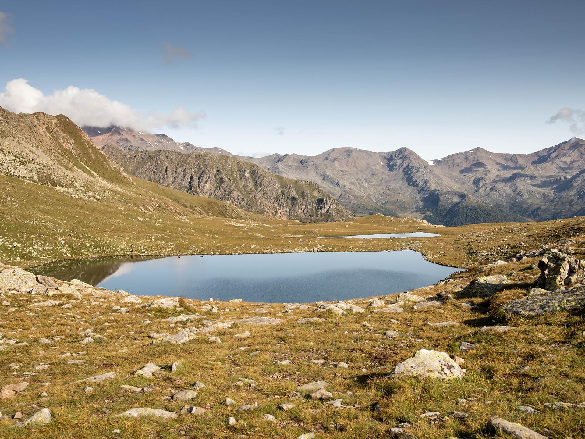
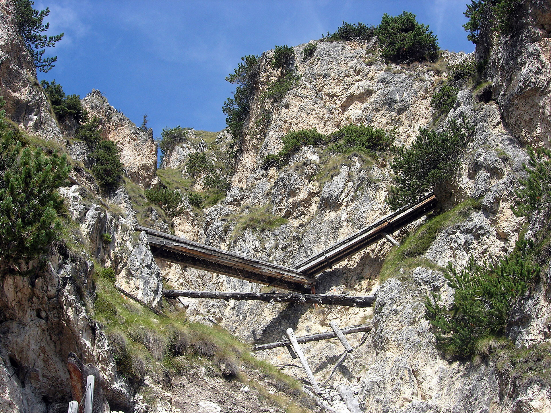
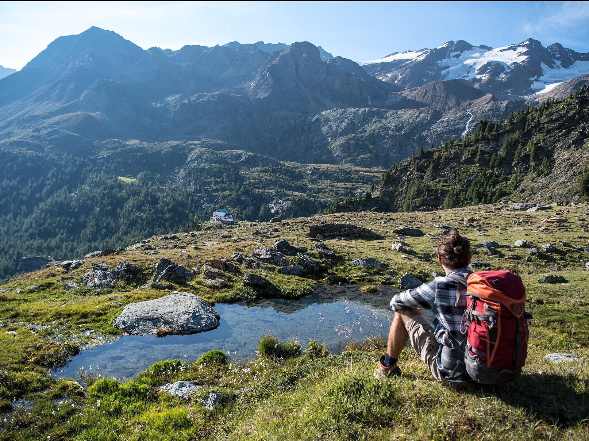
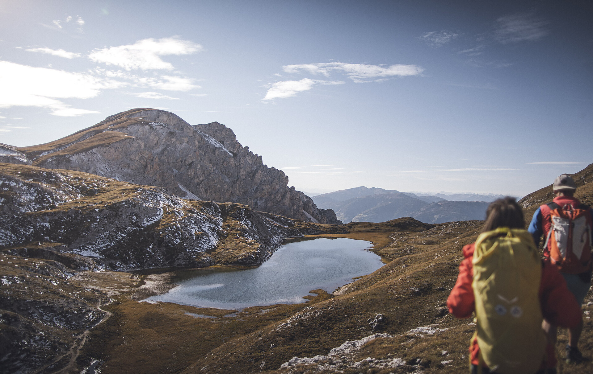
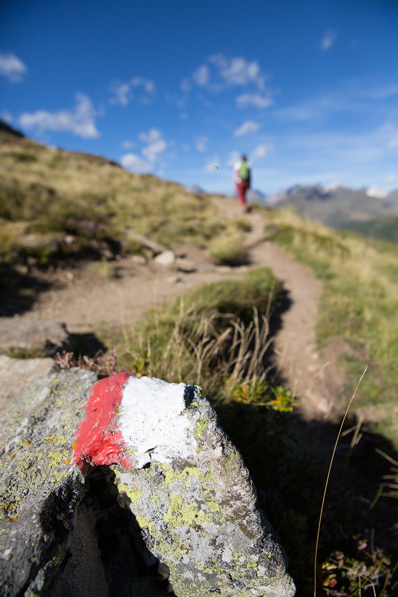
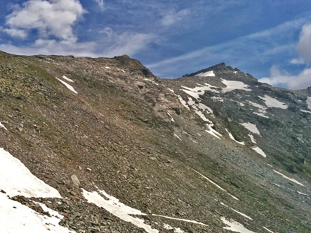
From the Edelweiss hut in Ladurns, follow the narrow path no. 34 A to a flat area. Crossing this, you reach an ascent that gradually becomes steeper and climbs over a scree slope to the Lotterscharte (2139 m). From here, the trail descends moderately steeply to the alpine village of Vallming, where everything has been preserved in its original state. Take a sharp left and cross an overgrown slope on trail no. 19A. After a steep hairpin bend, you reach the small lake "Kastellacke". Turn right and descend slightly on path no. 19 to the Sterzingerhütte on the Rosskopf. Descent option to Sterzing (descent 970 metres) or back via the outward route.


