The observation tower at the ridge of the Schwarzenstein… North of Luttach/Lutago we can see the sharp spike of the Wolfskofel which stands there like an observation tower. It is situated at the end of the south-eastern ridge of the Schwarzenstein and is the landmark mountain of Luttach/Lutago. It also offers excellent views from the top, especially the peaks of Großer Löffler and Schwarzenstein seem very close. The Schönberg to the west and the surrounding panorama are the reward for the rather strenuous ascent. The summit area made out of limestone and dolomite is interesting from a geological point of view. On the top there is a short, exposed climbing section; therefore sure footedness and not suffering from vertigo are an absolute must.
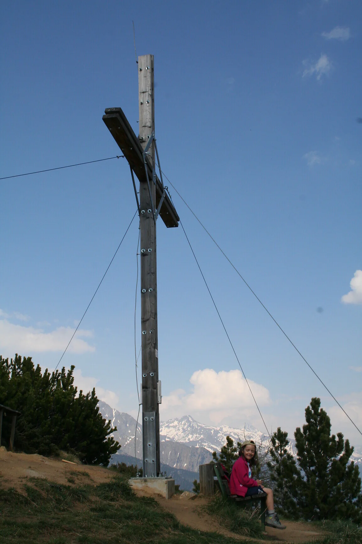
From Luttach/Lutago (carpark Sportbar) we take the route nr. 23 heading towards the Schwarzbach waterfall and consequently we reach the Großstahlhof farm. Behind the farm we walk approx. 150 m towards the end of the valley where the path to the Kleinstahlhof branches off. From there, we proceed turning left onto path nr. 23 to the Rotbachalm. We follow this path shortly until we reach the path fork where route nr. 32 leads us to Wolfskofel. The wooded area is partially very steep. As we reach the clearing on the saddle, we can already see the summit cross. The final ascent to the top, secured by steel ropes, requires alpine experience. At the summit (2,050 m) there is a small bench. Take the same route back as for the ascent. Suggestion: You can drive up to the Großstahlhof farm, but there are only a few parking spaces. In this case, you save 1¼ hrs. of walking time and 230 m of difference in altitude.
Sustianable with the public transport
By bus (line 450) to Luttach/Lutago, to the bus stop Tourismusbüro
By car
Bruneck/Brunico - Luttach/Lutago - 20 km
Kasern/Casere - Luttach/Lutago - 22 km
Parking
Luttach/Lutago, near the Sportbar
Route:
Google Maps

To complete your subscription, open the email we just sent you and click on the confirmation link.
Can’t find it? Check your spam folder too.