


Pokud jste někdy vylezli na vrchol, znáte ten pocit svobody. Ten přichází, když dosáhnete vrcholu a užíváte si výhled z něj. Dáváte přednost šturmování Dolomit? Dáváte přednost mírnějším horským vrcholům? Milujete široké výhledy? Nebo se spokojíte pouze s nejvyššími vrcholy? Jižní Tyrolsko s více než 100 třítisícovými vrcholy a vrcholy, z nichž údajně dohlédnete až do Benátek, nabízí mnoho vrcholových zážitků.
Mountaineering
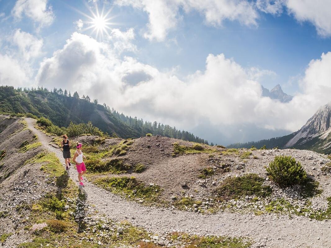
Moos in Passeier/Moso in Passiria, Meran/Merano and environs
Varied and beautiful pleasure hike with good panoramic views.
Starting point: Stuls
End point: Stuls
Refreshment stop: Kuchlalm
Starting point: Stuls
End point: Stuls
Refreshment stop: Kuchlalm


