Přeskočit na obsah

přidáno k oblíbeným

odebráno z oblíbených

Jejda! Došlo k problému, zkuste to prosím znovu

Vytváří se váš účet

Váš účet byl úspěšně vytvořen a nyní jste přihlášeni

Jste úspěšně přihlášeni!

Váš účet byl úspěšně vytvořen, ale nepodařilo se nám vás automaticky přihlásit

Jste odhlášeni

Filtr
Vybrané filtry
    Úroveň obtížnosti
    Doba trvání
    Vzdálenost v km

    Horolezectví

    Sportovní výzva, dechberoucí výhled a pocit svobody: jaké to je stát na vrcholu? Najděte nejlepší trek ve svém okolí zde.
    Výsledky
    Mountaineering
    Circular hiking trail along the borders in the Val Casies Valley
    Gsies/Valle di Casies

    An insight into life on the border in earlier times

    Starting point: Val Casies / S. Maddalena fondovalle (1465m) Mudler Distance: 17,5 kmDescent: circular hike Walking time: 07:00 h Difficulty: difficult Difference in altitude: 1278 m Information: www.suedtirolmobil.info - Lin. 441  

    Obtížnost: vysoká
    1337 m nadmořská výška
    6h:01 min doba trvání
    Mountaineering
    Dolomites Alpine Ridgeway No. 5
    Sexten/Sesto, Dolomites Region 3 Zinnen

    Walking this Alpine ridgeway is a challenging task and therefore only advisable for hikers who are experienced, sure-footed and, above all, fit. From the scenery point of view, this trail does not have such open views as trail no. 4, for example. However, it does pass through some areas that are particularly remote such as the Sexten Dolomites, which is one of the scenic highlights of the hike.

    Stages: 10-12 days


    Obtížnost: vysoká
    7164 m nadmořská výška
    25h:22 min doba trvání
    Mountaineering
    Mountain hike: To the mountain Amperspitze starting form Tesido (2687m)
    Gsies/Valle di Casies

    Hike with a panoramic view towards the Dolomites

    Starting point: Tesido / parking lot above the mountain restaurant Mudler
    Distance: 22 km
    Descent: along the same route
    Walking time: 08:00 h
    Difficulty: difficult
    Difference in altitude: 1065 m
    Information: www.suedtirolmobil.info - Lin. 438 / 441  

    Obtížnost: střední
    1201 m nadmořská výška
    8h:00 min doba trvání
    Mountaineering
    Hochnall 2.231m
    Rasen-Antholz/Rasun Anterselva, Dolomites Region Kronplatz/Plan de Corones
    From Oberrasen or Niederrasen (path n. 3 or 4) > Burgfrieden > following mark n. 3 or passing by Redensberg on the path n. 4 > Hochnall and the proceed to the Rammelstein peak - it is necessary to be experienced.
    Descent: same way back as the ascent or follow mark n. 4 from the Rammelstein > Lahneralm/Unterhütten > then proceed on the forestry road back to Burgfrieden and Rasen.
    Obtížnost: vysoká
    1145 m nadmořská výška
    3h:30 min doba trvání
    Mountaineering
    Mountain hike: To the mountain Rudlhorn starting from Tesido (2448m)
    Welsberg-Taisten/Monguelfo-Tesido

    The “giant” above Tesido

    Starting point: Monguelfo-Tesido – Tesido, parking lot above the mountain restaurant Mudler
    Distance: 5,8 km
    Descent: along the same route
    Walking time: 02:30 h
    Difficulty: medium
    Difference in altitude: 826 m
    Information: www.suedtirolmobil.info - Lin. 438 / 441  

    Obtížnost: střední
    831 m nadmořská výška
    2h:46 min doba trvání
    Mountaineering
    Napfspitze: Hiking Adventure with Glacier Views
    Vintl/Vandoies, Brixen/Bressanone and environs

    The hike to the Napfspitze combines diverse landscapes, alpine challenges, and unforgettable views. It's an excellent choice for experienced hikers looking to enjoy tranquility and natural beauty.

    Obtížnost: vysoká
    1491 m nadmořská výška
    5h:00 min doba trvání
    Mountaineering
    Mountain hike: To the mountain Hochstein in the Val Casies Valley (2469m)
    Gsies/Valle di Casies

    On the track of the chamois

    Starting point: Val Casies Valley / S. Maddalena head of the valley
    Distance: 16 km
    Descent: circular hike
    Walking time: 06:30 h
    Difficulty: difficult
    Difference in altitude: 1009 m
    Information: www.suedtirolmobil.info - Lin. 441

    Obtížnost: vysoká
    1158 m nadmořská výška
    6h:30 min doba trvání
    Mountaineering
    Glittner Lake and Maurerberg circular trail
    Al Plan/San Vigilio, Dolomites Region Kronplatz/Plan de Corones
    The beautiful circular tour from Antermoia takes us via the Malga di Rina (refreshment stop) to the idyllic Lake Rina - Lé de Munt da Rina.Passing Monte Muro and the hut of the same name (possibility of refreshments) we return to Antermoia via Pé de Börz
    Obtížnost: vysoká
    1134 m nadmořská výška
    5h:50 min doba trvání
    Mountaineering
    Excursion from the Costalunga Pass to the Pulpito
    Welschnofen/Nova Levante, Dolomites Region Eggental

    The exhausting ascent will be repaid by an amazing view of the surrounding mountains like the Pala Group, Marmolada, Sella, Sassolungo, Catinaccio and Ötztal Alps.

    Obtížnost: vysoká
    0 m nadmořská výška
    3h:00 min doba trvání
    Mountaineering
    Mountain hike: “Alpini Steig” in the Val Casies Valley
    Gsies/Valle di Casies

    Circular hike from the Val Casies Valley to the Passo Stalle Saddle

    Starting point: Val Casies Valley / S. Maddalena (1460m)
    Distance: 22 km
    Walking time: 09:00 h
    Difficulty: difficult
    Difference in altitude: 1266 m
    Information: www.suedtirolmobil.info - Lin. 441

    Obtížnost: vysoká
    1892 m nadmořská výška
    7h:57 min doba trvání
    Mountaineering
    Alta Pusteria Alpine Ridgeway
    Prags/Braies, Dolomites Region 3 Zinnen

    This lesser-known Alpine hike is intended to take five days. It runs west to east through the Dolomiti di Braies and Dolomiti di Sesto (Pragser Dolomiten and Sextner Dolomiten), takes you Close to many of the main and most frequently visited refuges in the region, and will astound you again and again with ist breathtaking views of the most captivating peaks of the Limestone Alps.


    Obtížnost: vysoká
    4959 m nadmořská výška
    22h:41 min doba trvání
    Mountaineering
    Alpine tour: Western "Gsell"
    Sexten/Sesto, Dolomites Region 3 Zinnen

    A quiet and peaceful hike with a wonderful panoramic view - an insider's tip for nature lovers.

    Obtížnost: střední
    850 m nadmořská výška
    4h:30 min doba trvání
    Mountaineering
    Mountain hike: Bonner Höhenweg and Toblacher Pfannhorn (2663m)
    Gsies/Valle di Casies

    Panoramic trail with view towards the Dolomites

    Starting point: Val Casies Valley / S. Maddalena head of the valley
    Distance: 24,5 km
    Descent: circular hike
    Walking time: 08:50 h
    Difficulty: difficult
    Difference in altitude: 1203 m
    Information: It is also possible to divide the distance into a 2 days hike with over night-stay at the Bonner Hütte hut (from Toblacher Pfannhorn 30 min. downhill following trail mark n° 25) | www.suedtirolmobil.info - Lin. 441

    Obtížnost: vysoká
    1682 m nadmořská výška
    8h:13 min doba trvání
    Mountaineering
    Mountain tour to the Hundskehljoch
    Prettau/Predoi, Ahrntal/Valle Aurina

    Boundary paths Prettau/Predoi - Hundskehljoch

    The yoke Hundskehljoch is located at an altitude of 2,557 m above Prettau/Predoi

    Obtížnost: střední
    1202 m nadmořská výška
    3h:47 min doba trvání
    Mountaineering
    Ifinger Summit Hike
    Schenna/Scena, Meran/Merano and environs

    This hike on the Ifinger peak (2.581m), Scena's local mountain, provides a magnificent panoramic view of the Merano mountains, but requires a head for heights and is only recommended for sure-footed, experienced hikers.

    Obtížnost: střední
    750 m nadmořská výška
    3h:45 min doba trvání
    Mountaineering
    Hike round the Rosengarten Massif
    Welschnofen/Nova Levante, Dolomites Region Eggental

    The Rosengarten circular route is a magnificent hike for experienced hikers, providing fantastic views of the surrounding mountains.

    Attention: there are some snowfields. For accessibility, mountain experience and the appropriate equipment are required (good hiking boots, hiking poles and possibly crampons).


    Obtížnost: vysoká
    0 m nadmořská výška
    5h:00 min doba trvání
    Mountaineering
    Mountain hike to Piz da Peres peak
    Al Plan/San Vigilio, Dolomites Region Kronplatz/Plan de Corones
    Piz da Peres (2507 m) is one of San Vigilio's local mountains. It rises above the village and, together with the nearby peaks of Munt Paracia and Monte Sella, watches over its inhabitants.  
    Once you reach the summit, there is a magnificent view of the various surrounding villages and the peaks of Val Badia and Val Pusteria. Seize the opportunity and immortalize yourself in the summit book.
    Obtížnost: střední
    1272 m nadmořská výška
    3h:51 min doba trvání
    Mountaineering
    Mountain hike to Sas dla Para
    Prags/Braies, Dolomites Region Kronplatz/Plan de Corones
    Sas Dla Para is located on the mountain pasture of Fordara Vedla. Its 2460 meters of altitude allow us to see as far as Cortina d'Ampezzo. Look at the gleaming roofs of the houses in the distance and experience the feeling of freedom as the alpine jackdaws dance to the rhythm of the wind above your heads.
    Obtížnost: střední
    478 m nadmořská výška
    1h:34 min doba trvání
    Mountaineering
    Dobbiaco Alpine Ridgeway
    Toblach/Dobbiaco, Dolomites Region 3 Zinnen

    The Alpine Path of Toblach/Dobbiaco is a strenuous hike due to the km and is therefore only suitable for hikers with stamina. This high trail leads along the Austrian-Italian state border and offers a wonderful view of the Dolomites and the main Alpine ridge. The Bonnerhütte/Rifugio Bonner, the Marchhütte/Rifugio March, the Steinbergalm/Malga Steinberg and the Silvesteralm/Malga San Silvestro invite you to take a break.
    The entire high trail is marked with a yellow H.

    The tour can also be done as a 2-day tour with an overnight stay in the Bonnerhütte/Rifugio Bonner.

    Obtížnost: vysoká
    1801 m nadmořská výška
    9h:00 min doba trvání
    Mountaineering
    Alpine Tour to the Hohe Kreuzspitze Mountain (2,743 m)
    Moos in Passeier/Moso in Passiria, Meran/Merano and environs
    Beautiful panoramic mountain with beautiful summit cross.

    Starting point: Stuls

    End point: Stuls

    Refreshment stop: Hochalm, Egger-Grub-Alm, Morx Puite, Bockhütte
    Obtížnost: střední
    1420 m nadmořská výška
    8h:00 min doba trvání
    Mountaineering
    Mountain hike: To the mountain Riepenspitze in the Val Casies Valley (2774m)
    Gsies/Valle di Casies

    Panoramic hike in the Val Casies Valley mountains

    Starting point: Val Casies Valley / S. Maddalena head of the valley
    Distance: 16 km
    Descent: circular hike
    Walking time: 06:30 h
    Difficulty: difficult
    Difference in altitude: 1339 m
    Information: www.suedtirolmobil.info - Lin. 441

    Obtížnost: vysoká
    1388 m nadmořská výška
    5h:45 min doba trvání
    Mountaineering
    Mountain hike: To the lake Schwarzsee and mountain Hochkreuzspitze (2455m/2739m)
    Gsies/Valle di Casies

    Mountain hike towards Villgraten (Austria)

    Starting point: Val Casies Valley / S. Maddalena head of the valley
    Distance: 17 km
    Descent: circular hike
    Walking time: 07:00 h
    Difficulty: difficult
    Difference in altitude: 1387 m
    Information: www.suedtirolmobil.info - Lin. 441

    Obtížnost: vysoká
    1424 m nadmořská výška
    6h:01 min doba trvání
    Mountaineering
    Mountain hike: Forcella di Casies in the Val Casies Valley (2205m)
    Gsies/Valle di Casies

    A pleasant and interesting hike on borders

    Starting point: Val Casies Valley / S. Maddalena head of the valley (1465m)
    Distance: 18 km
    Descent: circular hike
    Walking time: 06:00 h
    Difficulty: medium
    Difference in altitude: 840 m
    Information: www.suedtirolmobil.info - Lin. 441

    Obtížnost: střední
    1010 m nadmořská výška
    5h:43 min doba trvání
    Mountaineering
    Seefeldspitz: A Summit Hike with Three Alpine Lakes
    Vintl/Vandoies, Brixen/Bressanone and environs
    The hike to the Seefeldspitz is an extended tour requiring endurance, but it rewards you with unparalleled landscapes. Three picturesque mountain lakes along the way invite you to pause and enjoy the scenery. The summit offers a breathtaking panoramic view of the surrounding mountains and valleys.
    Obtížnost: vysoká
    1166 m nadmořská výška
    4h:00 min doba trvání
    Mountaineering
    Mountain hike: The lakes Ochsenfelder Seen in the Val Casies Valley (2555m)
    Gsies/Valle di Casies

    The solitary hike through untspoilt nature

    Starting point: Val Casies Valley / S. Martino tourist information office (1276m)
    Distance: 25 km
    Descent: along the same route
    Walking time: 07:00 h
    Difficulty: difficult
    Difference in altitude: 1279 m
    Information: www.suedtirolmobil.info - Lin. 441

    Obtížnost: vysoká
    1312 m nadmořská výška
    4h:49 min doba trvání
    Mountaineering
    Dolomites Alpine Ridgeway No. 3
    Niederdorf/Villabassa, Dolomites Region 3 Zinnen

    Like the trails no. 1, 4 and 5, this Alpine ridgeway goes through the eastern Dolomites and offers irresistible views of the magnificent mountains all the way along. Most sections of this trail are either more difficult or longer and more hard work than Alpine ridgeway no. 1 and 2. In addition to the considerable differences in altitude that have to be overcome within short sections, the route also includes some steep trails that are secured with cables and in some cases are quite exposed, with short climbing sections up to Grade II level of difficulty. There are easier alternatives to these sections.

    Stages: 7–10 days

    Obtížnost: vysoká
    9398 m nadmořská výška
    36h:16 min doba trvání
    Mountaineering
    Hike to the Latemar Boulder Labyrinth
    Welschnofen/Nova Levante, Dolomites Region Eggental

    Growing in the Karerwald forest, the hazel tree is used especially for the production of string instruments. For this reason, the wood has also been called ‘tonewood’. You start from the Karerwald forest to walk to the popular boulder labyrinth which acquired its name from the house-sized boulders that fell during a massive landslide from the Latemar mountain long ago.

    Attention: There are fallen trees along path [21].

    Obtížnost: střední
    0 m nadmořská výška
    3h:00 min doba trvání
    Mountaineering
    Rammelstein 2.483m
    Rasen-Antholz/Rasun Anterselva, Dolomites Region Kronplatz/Plan de Corones
    Antholz Mittertal or Antholz Niedertal (see walk to the Grentealm) > from there up to the Grente cross > Rammelstein. The way back by the same path or passing by the Laneralm (1.829 m) > following the mark n. 4b > Unterhütten (1.671 m, no rest stops) > by the alpine path back to the road to Antholz, on the opposite side of the Biotope.
    Obtížnost: vysoká
    1054 m nadmořská výška
    3h:15 min doba trvání
    Mountaineering
    Mountain hike to the Tschigot peak
    Algund/Lagundo, Meran/Merano and environs

    Challenging route to the striking, craggy Tschigot outcrop with splendid views of the Merano basin.

    Obtížnost: vysoká
    2273 m nadmořská výška
    8h:18 min doba trvání
    Mountaineering
    Taseralm mountain hut to "Lauwandspitze" peak
    Schenna/Scena, Meran/Merano and environs
    The lovely mountain hike on the summit of the Lauwandspitze requires mountain experience and is aimed at competent hikers. In return it offers breathtaking summit views and lasting memories.
    Obtížnost: vysoká
    800 m nadmořská výška
    3h:30 min doba trvání
    1 2 3 4 5 6 7 8 9 10 11 12 13

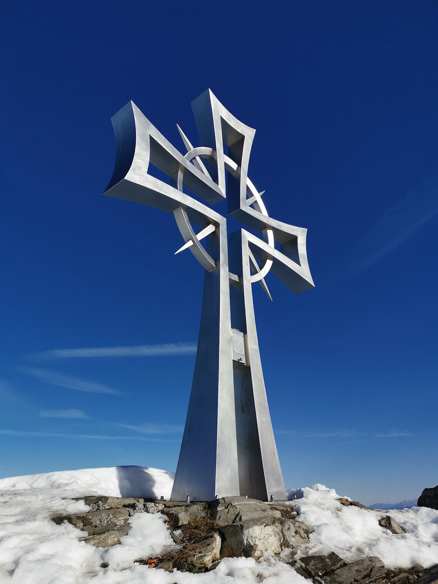
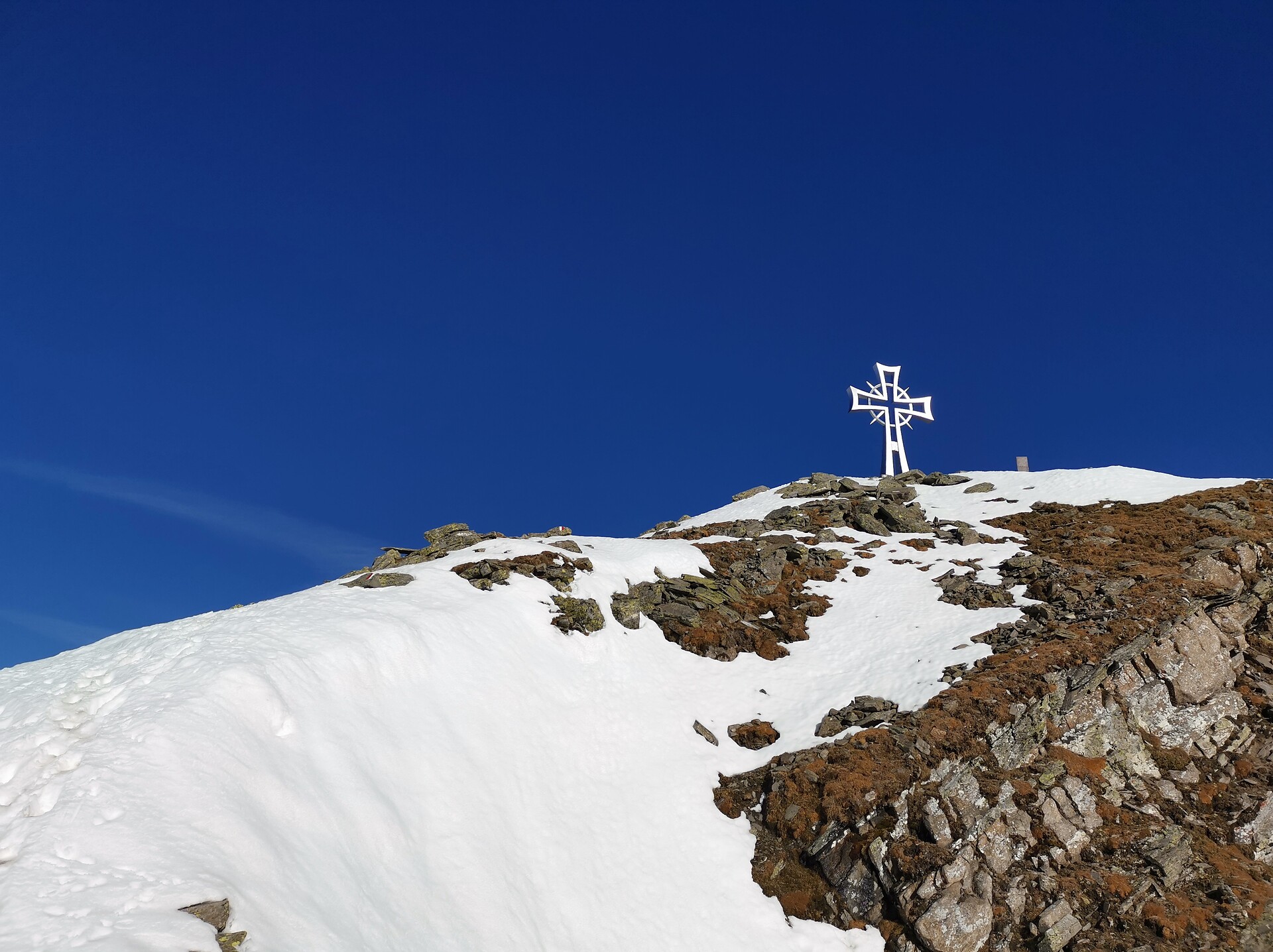
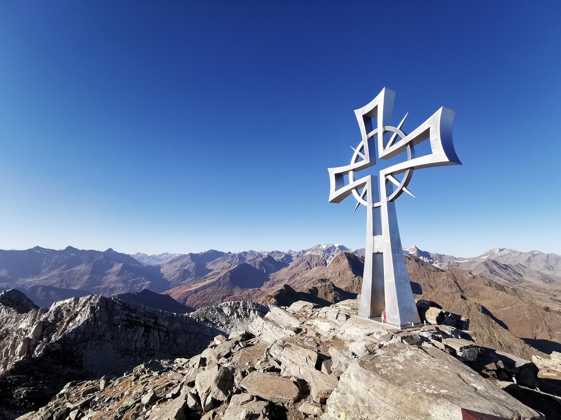
      Pokud jste někdy vylezli na vrchol, znáte ten pocit svobody. Ten přichází, když dosáhnete vrcholu a užíváte si výhled z něj. Dáváte přednost šturmování Dolomit? Dáváte přednost mírnějším horským vrcholům? Milujete široké výhledy? Nebo se spokojíte pouze s nejvyššími vrcholy? Jižní Tyrolsko s více než 100 třítisícovými vrcholy a vrcholy, z nichž údajně dohlédnete až do Benátek, nabízí mnoho vrcholových zážitků.