
1/2
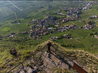
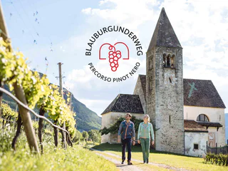
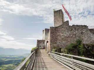
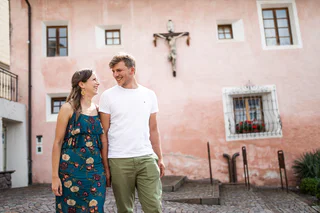
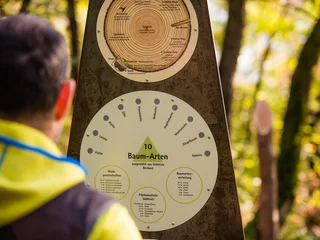
The Spring Promenade of Salorno/Salurn
Salorno/Salurn, Alto Adige Wine Road
easy
Obtížnost
115 m
Převýšení
0h:30 min
doba trvání
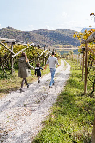
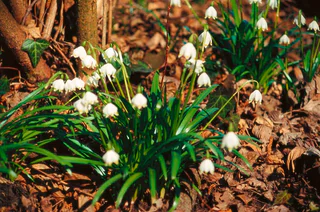
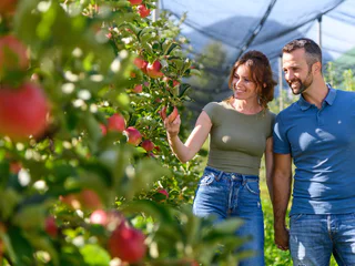
Obujte si turistické boty a prozkoumejte krajinu podél jihotyrolské vinařské stezky. Tyto tipy na výlety vás zavedou po klikatých cestách, přes malebné vinice a půvabné vesničky až na bezstarostná panoramatická místa. Od nenáročných procházek až po náročné túry - každý si zde najde doslova to své. Dokonalá kombinace požitku z přírody a kultury při vychutnávání místních vín a vřelé pohostinnosti charakterizuje Jihotyrolskou vinařskou stezku jako turistickou oblast pro znalce.
1/2
Salorno/Salurn, Alto Adige Wine Road
easy
Obtížnost
115 m
Převýšení
0h:30 min
doba trvání
1/3
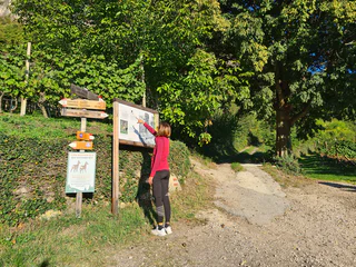
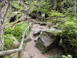
Kurtatsch/Cortaccia s.S.d.V., Kurtatsch an der Weinstraße/Cortaccia sulla Strada del Vino, Alto Adige Wine Road
easy
Obtížnost
100 m
Převýšení
0h:46 min
doba trvání
1/8
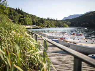
Caldaro Campi al lago/Kalterer Klughammer, Kaltern an der Weinstraße/Caldaro sulla Strada del Vino, Alto Adige Wine Road
medium
Obtížnost
32 m
Převýšení
1h:55 min
doba trvání
1/4
Caldaro Campi al lago/Kalterer Klughammer, Kaltern an der Weinstraße/Caldaro sulla Strada del Vino, Alto Adige Wine Road
medium
Obtížnost
434 m
Převýšení
2h:28 min
doba trvání
1/4
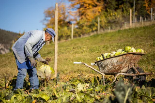
Mazzon/Mazon, Neumarkt/Egna, Alto Adige Wine Road
medium
Obtížnost
731 m
Převýšení
3h:10 min
doba trvání
1/5
Mazzon/Mazon, Neumarkt/Egna, Alto Adige Wine Road
easy
Obtížnost
228 m
Převýšení
1h:33 min
doba trvání

Kurtatsch/Cortaccia s.S.d.V., Kurtatsch an der Weinstraße/Cortaccia sulla Strada del Vino, Alto Adige Wine Road
medium
Obtížnost
346 m
Převýšení
1h:37 min
doba trvání
1/5
Tramin an der Weinstraße/Termeno sulla Strada del Vino, Alto Adige Wine Road
easy
Obtížnost
105 m
Převýšení
1h:07 min
doba trvání
1/7
Laghetti/Laag, Neumarkt/Egna, Alto Adige Wine Road
medium
Obtížnost
661 m
Převýšení
4h:40 min
doba trvání
1/5
Magrè s.S.d.V./Margreid a.d.W., Kurtinig an der Weinstraße/Cortina sulla Strada del Vino, Alto Adige Wine Road
easy
Obtížnost
0 m
Převýšení
1h:11 min
doba trvání
1/6
Missiano/Missian, Eppan an der Weinstaße/Appiano sulla Strada del Vino, Alto Adige Wine Road
medium
Obtížnost
373 m
Převýšení
1h:45 min
doba trvání
1/7
S. Giuseppe al Lago/St. Josef am See, Kaltern an der Weinstraße/Caldaro sulla Strada del Vino, Alto Adige Wine Road
medium
Obtížnost
200 m
Převýšení
3h:00 min
doba trvání
1/2
Margreid a.d.W./Magrè s.S.d.V., Margreid an der Weinstraße/Magrè sulla Strada del Vino, Alto Adige Wine Road
medium
Obtížnost
508 m
Převýšení
2h:19 min
doba trvání

1/3
Obereggen/Obereggen, Deutschnofen/Nova Ponente, Alto Adige Wine Road
medium
Obtížnost
231 m
Převýšení
2h:30 min
doba trvání
Riva di Sotto/Unterrain, Eppan an der Weinstaße/Appiano sulla Strada del Vino, Alto Adige Wine Road
medium
Obtížnost
697 m
Převýšení
2h:34 min
doba trvání
Sella/Söll, Tramin an der Weinstraße/Termeno sulla Strada del Vino, Alto Adige Wine Road
medium
Obtížnost
0 m
Převýšení
4h:00 min
doba trvání
1/7
Gleno/Glen, Montan/Montagna, Alto Adige Wine Road
easy
Obtížnost
692 m
Převýšení
5h:00 min
doba trvání
1/13
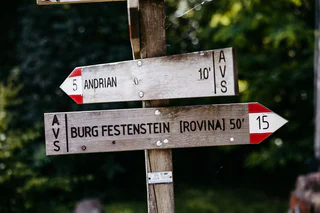
Avenes/Afens, Andrian/Andriano, Alto Adige Wine Road
medium
Obtížnost
726 m
Převýšení
3h:22 min
doba trvání
1/3
Salorno/Salurn, Alto Adige Wine Road
easy
Obtížnost
194 m
Převýšení
1h:00 min
doba trvání
1/10
Trodena/Truden, Neumarkt/Egna, Alto Adige Wine Road
difficult
Obtížnost
963 m
Převýšení
6h:35 min
doba trvání
1/2
Obereggen/Obereggen, Deutschnofen/Nova Ponente, Alto Adige Wine Road
medium
Obtížnost
160 m
Převýšení
2h:00 min
doba trvání
1/6
San Lugano/San Lugano, Montan/Montagna, Alto Adige Wine Road
medium
Obtížnost
754 m
Převýšení
3h:23 min
doba trvání
1/12
Caldaro Paese/Kaltern Dorf, Kaltern an der Weinstraße/Caldaro sulla Strada del Vino, Alto Adige Wine Road
easy
Obtížnost
274 m
Převýšení
1h:13 min
doba trvání
1/6
Rungg/Ronchi - Tramin/Termeno, Kurtatsch an der Weinstraße/Cortaccia sulla Strada del Vino, Alto Adige Wine Road
easy
Obtížnost
21 m
Převýšení
1h:00 min
doba trvání
1/10
Monticolo/Montiggl, Eppan an der Weinstaße/Appiano sulla Strada del Vino, Alto Adige Wine Road
easy
Obtížnost
0 m
Převýšení
1h:30 min
doba trvání
1/3
Tramin an der Weinstraße/Termeno sulla Strada del Vino, Alto Adige Wine Road
easy
Obtížnost
294 m
Převýšení
1h:55 min
doba trvání
1/5
Salorno/Salurn, Alto Adige Wine Road
medium
Obtížnost
453 m
Převýšení
3h:37 min
doba trvání

1/4
Mazon/Mazzon, Neumarkt/Egna, Alto Adige Wine Road
medium
Obtížnost
763 m
Převýšení
3h:42 min
doba trvání
1/5
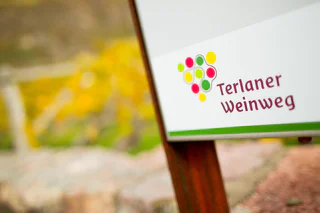
Terlano/Terlan, Terlan/Terlano, Alto Adige Wine Road
easy
Obtížnost
144 m
Převýšení
1h:51 min
doba trvání
Neumarkt/Egna center, Neumarkt/Egna, Alto Adige Wine Road
medium
Obtížnost
1713 m
Převýšení
6h:22 min
doba trvání


